We left
NWMF in Sheridan, OR and headed northwest toward the Pacific
Coast. We hit US-101 and headed north toward Tillamook.
We were looking for places to stay and elected to head a bit
inland to Kilchis River and a county campground. The
following morning, we continued north toward Washington.
The photos below are what we saw.
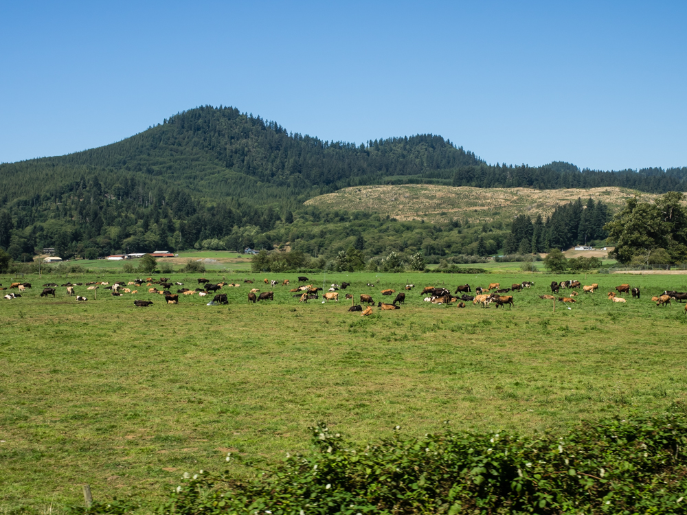
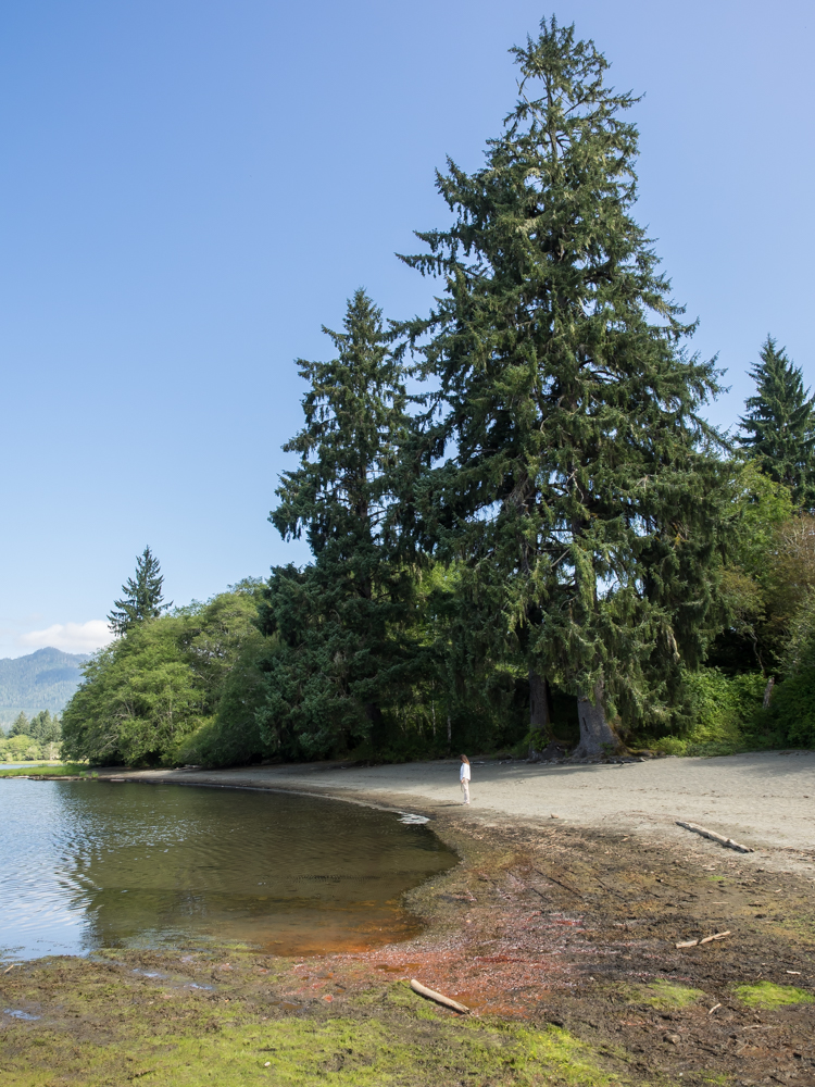
The area
around the Kilchis river was premium farmland. We found
the county campground and were lucky to get a spot. Thor
is a "hillbilly magnet" and since that is the demographic that
was in the campground, we were besieged by "the usual dumb
questions". Eventually they gave up and we went inside the
camper for dinner. The queries started again in earnest
the following morning.
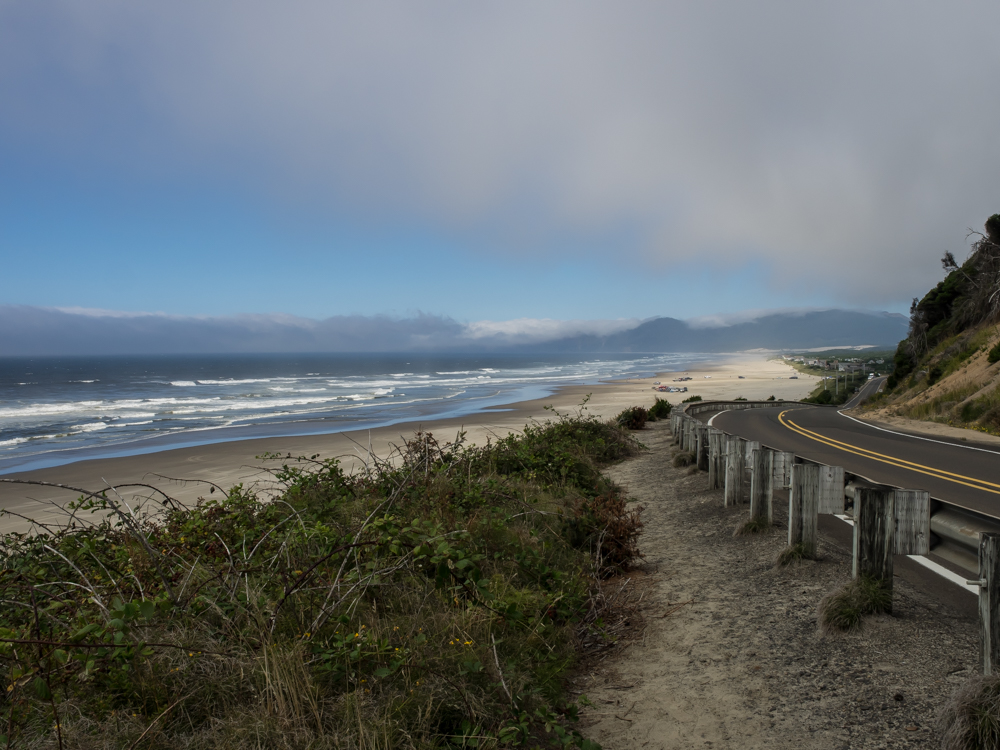
We
continued up US-101 along the beautiful Oregon coast. We
were presented with one awesome view after another.
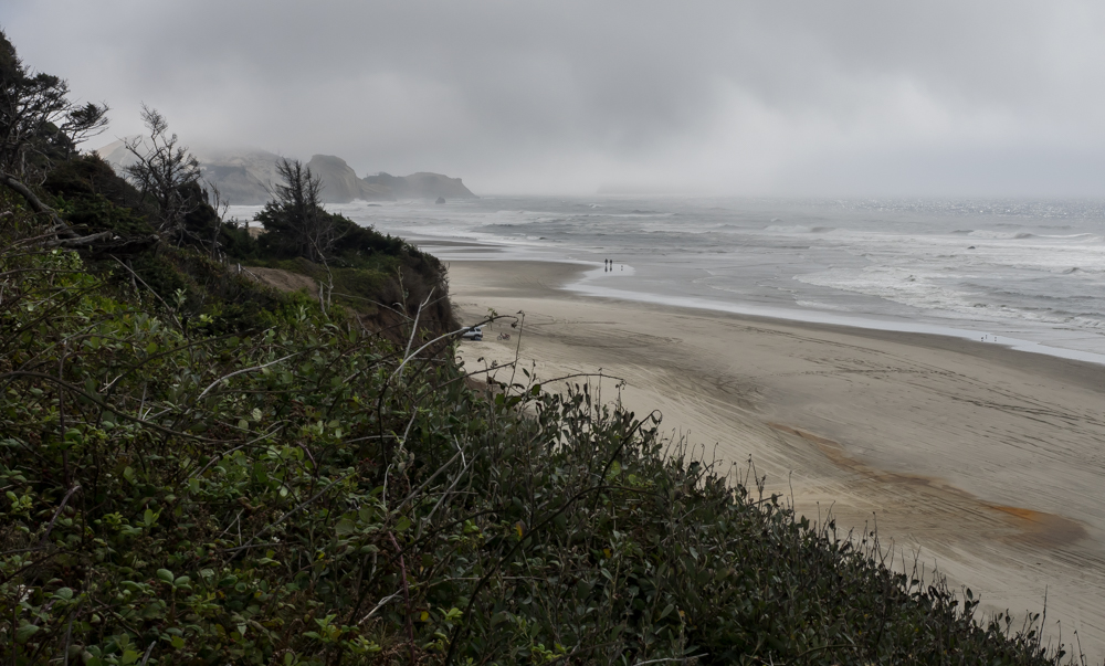
The
clouds were crowding the beach and only provided intermittent
sunlight.
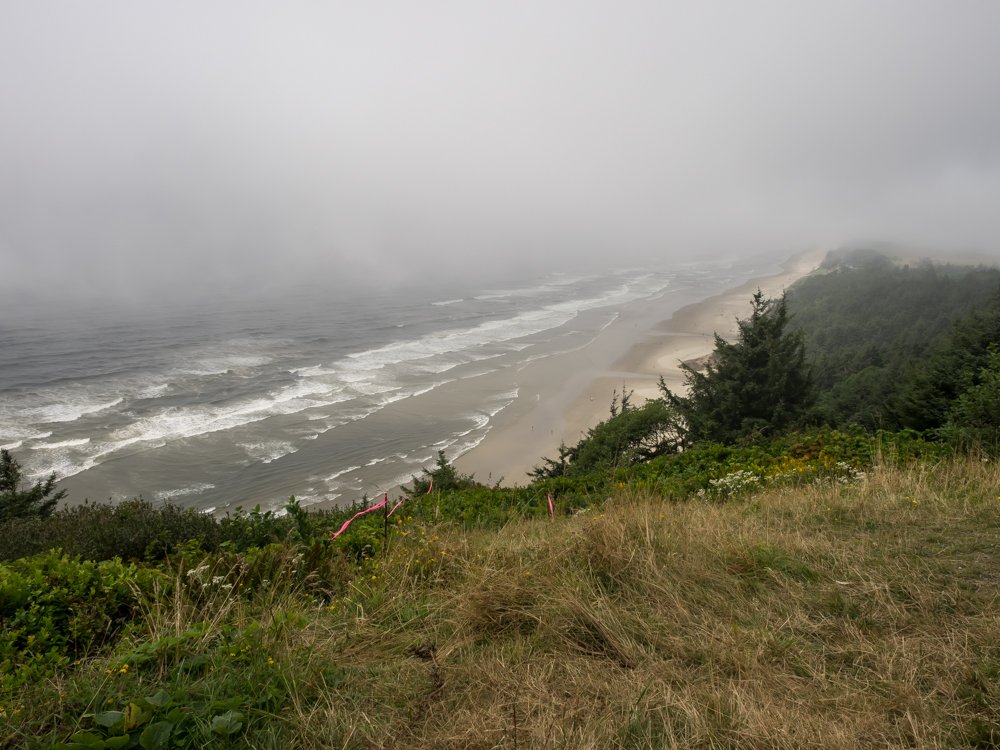
This
shot is from a road-side pull-out that also serves as a hang
glider launch point. The pink streamers are used by the
pilots to judge wind speed and direction. The wind
was plenty strong, but I am guessing that the visibility was low
enough to prevent any launches.
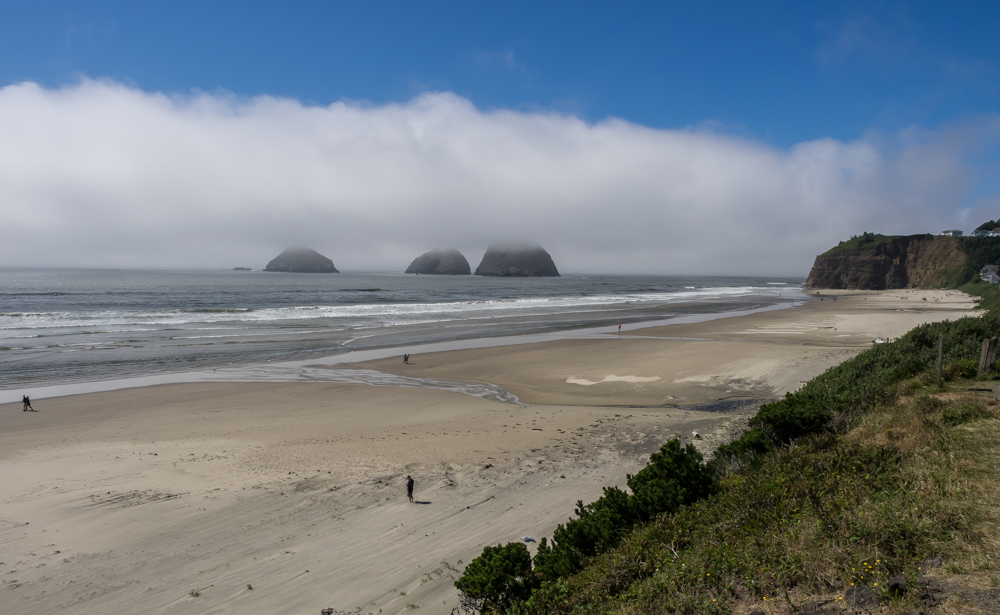
Near
Seaside we spotted these haystacks in the surf.
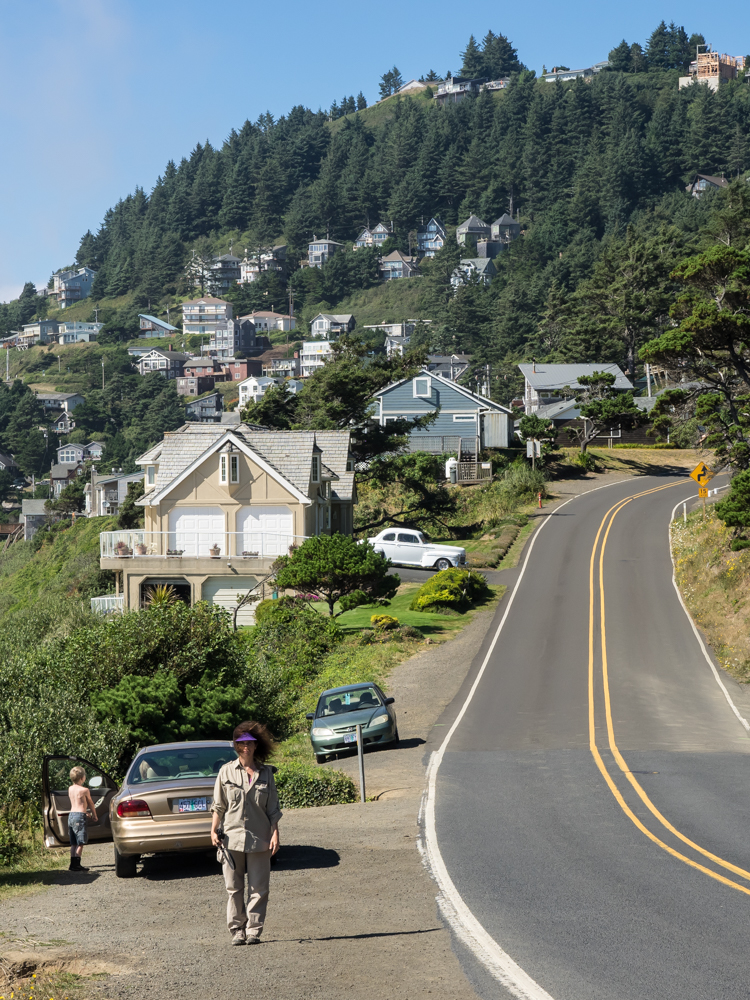
Kathleen
is so cute! She saw the camera lens pointed her way and
naturally assumed that I was taking a photo of her.
But, that was not the case. The real object of the photo
was the classic white car in the driveway and the pricey homes
on the cliff. She was, however, a nice side benefit.
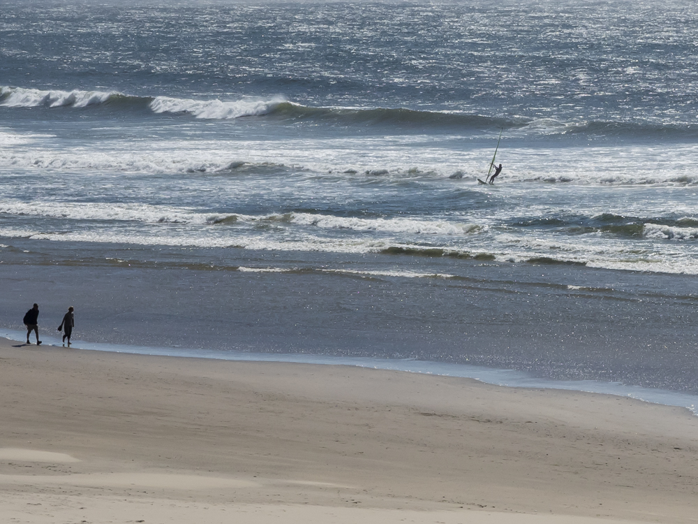
From the
cliff overlook we could see a wind surfer capitalizing on the
strong breezes.
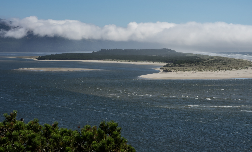
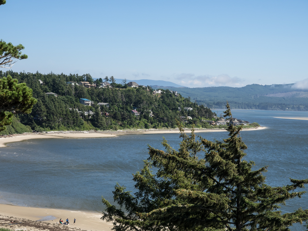
The
coastal areas are very scenic -- when you can see. A break
in the clouds gave us a nice view.
We did
not check the price of real estate but anything with an ocean
view is likely pricey.
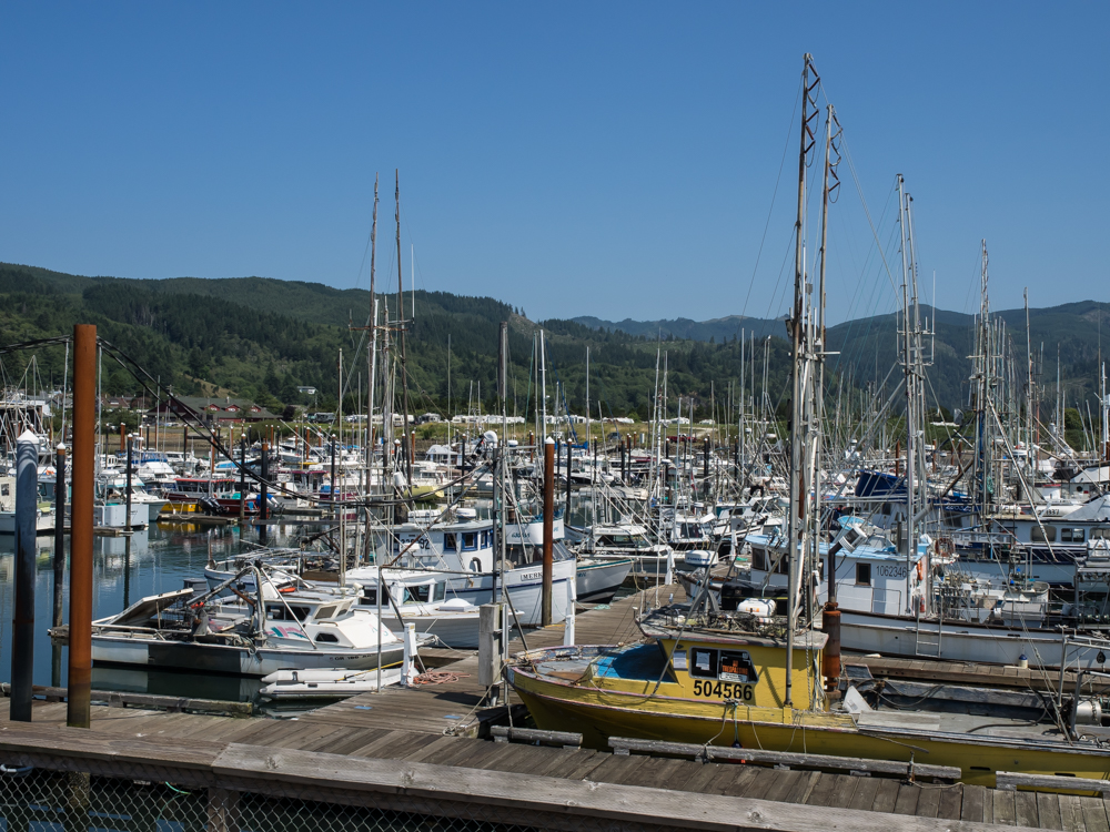
We
stopped at Bay City for lunch at the harbor. Plenty of
boats were in port.
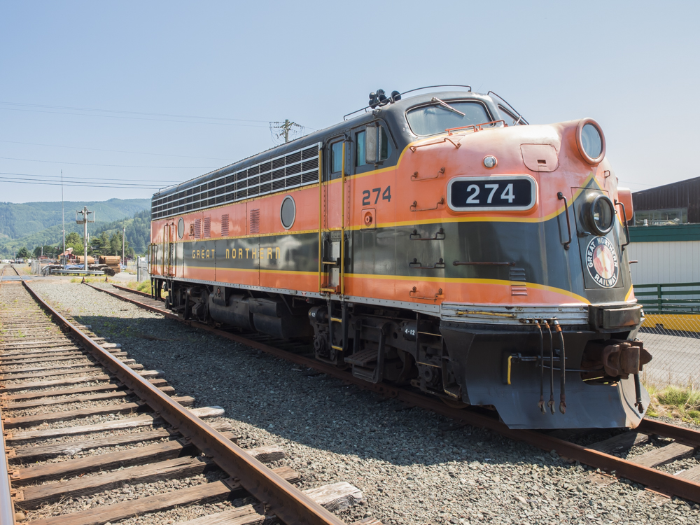
Near the
harbor we spotted this PA-7 locomotive. While old, this
motor likely runs fine as it is sitting on a live siding.
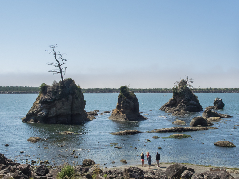
These
tiny haystacks near Barview Jetty were attracting attention from
the sightseers.
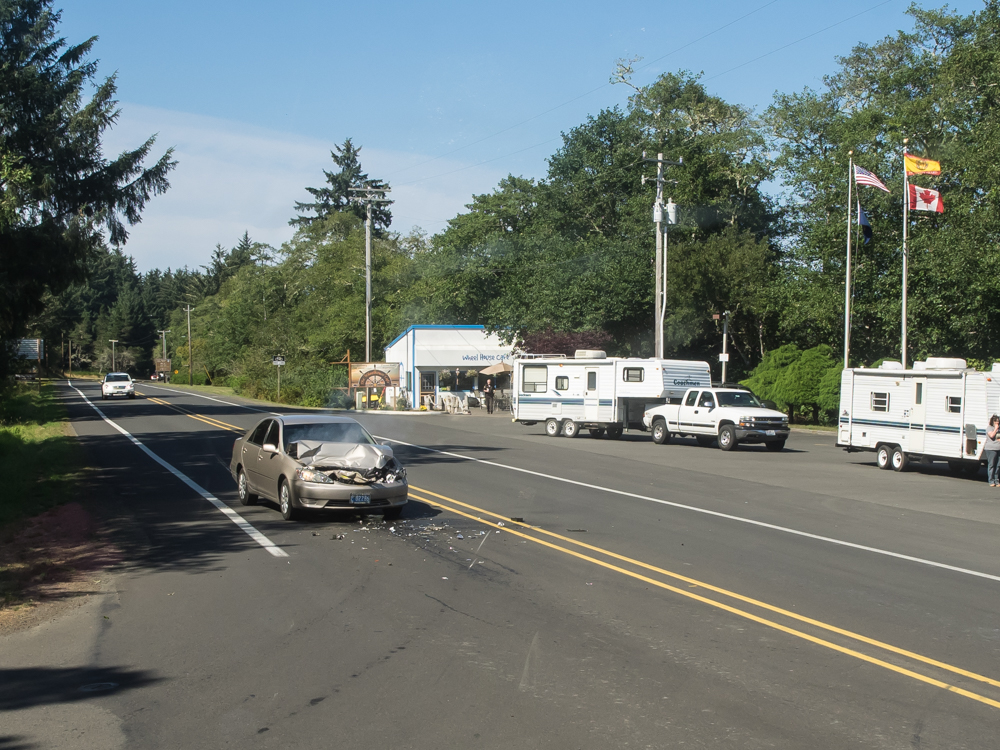
We
continued north toward Fort Stevens right at the mouth of the
Columbia River. As we were turning left into the park we
heard a crash and looked up to see this Honda crashing into the
rear of an F-250 stopped at the light. The pickup was not
damaged, but the same could not be said for the Honda as it is
likely totaled. We were turned away at the park because
they were full and got the photo above on our attempt to get
space at the KOA. They were full as well, so we continued
north.
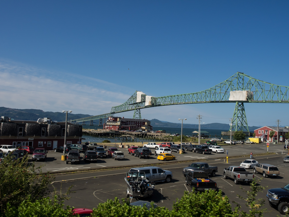
To get
north on US-101 from Astoria, you have to cross the massive
Megler Bridge which spans the entire Columbia River. This
portion of the span is tall enough to pass large cargo ships.
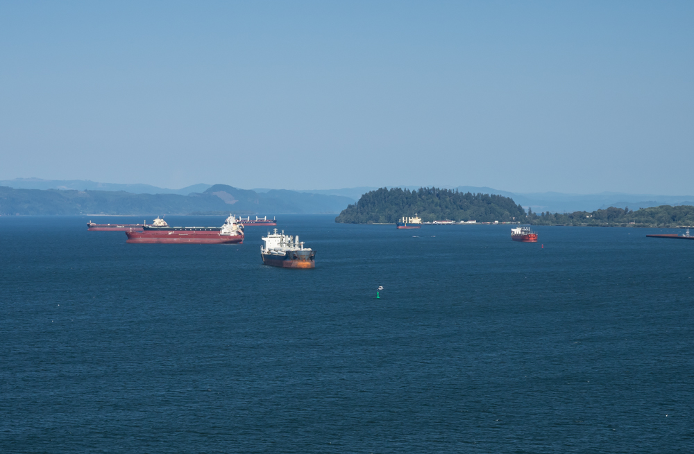
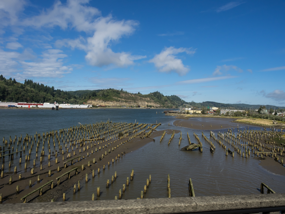
From the
Megler Bridge we could see a number of large freighters moored
in Astoria's harbor.
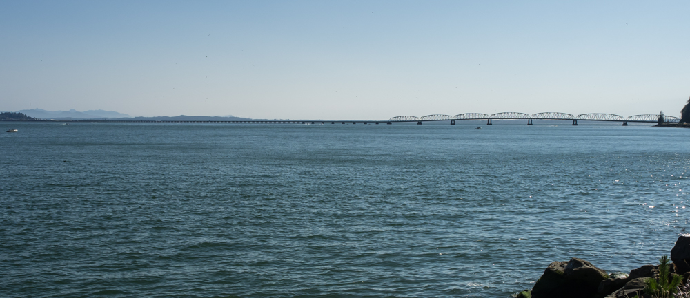
From the
Washington side of the Columbia River, the size of the Megler
Bridge becomes apparent. The tall portion of the bridge is
at the very left side of the photo above, nearly invisible in
the distance.
After
calling a number of RV parks and campgrounds, we found them all
full so we decide to head east on WA-4. We found a spot at
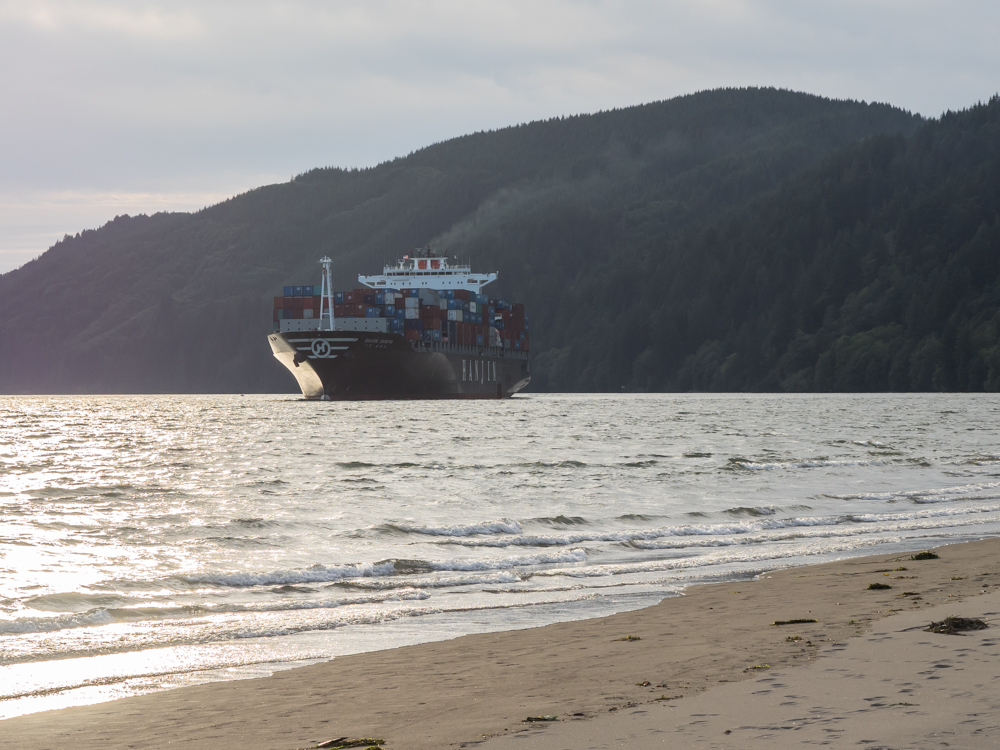
Skamokawa Vista, a county park. Turns out that this was
the best spot around; the site was right on the beach and had a
great view of the ship traffic on the Columbia River. This
cargo ship is likely heading toward Portland, OR.
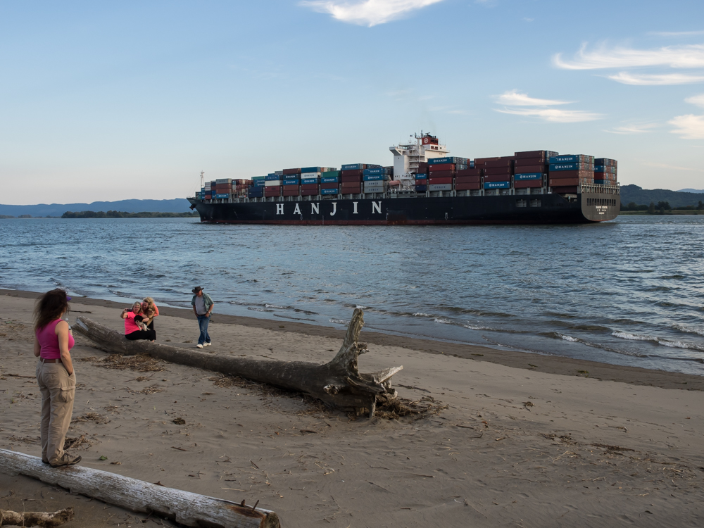
Both
Kathleen and I were blown away that the ships were coming so
close to shore. Apparently the river channel is deep on
our side of the river.
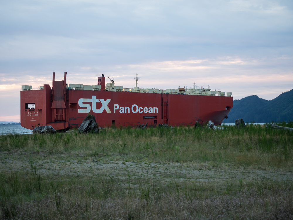
This
large car carrier was heading out to sea.
It is
windy in the Columbia River valley and sundown at Skamokawa was
no exception. The winds abated overnight and the morning
was mostly calm. We broke camp and headed west back to
US-101 and then north to Willapa Bay. We found a place to
eat and since Wallapa Bay is famous for oysters, that is what we
ordered. Both of us thought that we ordered raw oysters on
the half shell, but we were brought a dozen large BBQ
oysters. Since they smelled great and we were both hungry,
we readily accepted the mistake and chowed-down. They were
awesome and we would definitely order them again. Across
the street from the cafe were these pilings, likely part of the
oyster operations.
Further
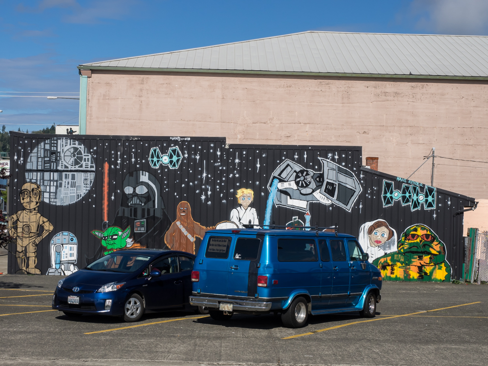
north in Aberdeen, WA we came upon this interesting grafitti.
We
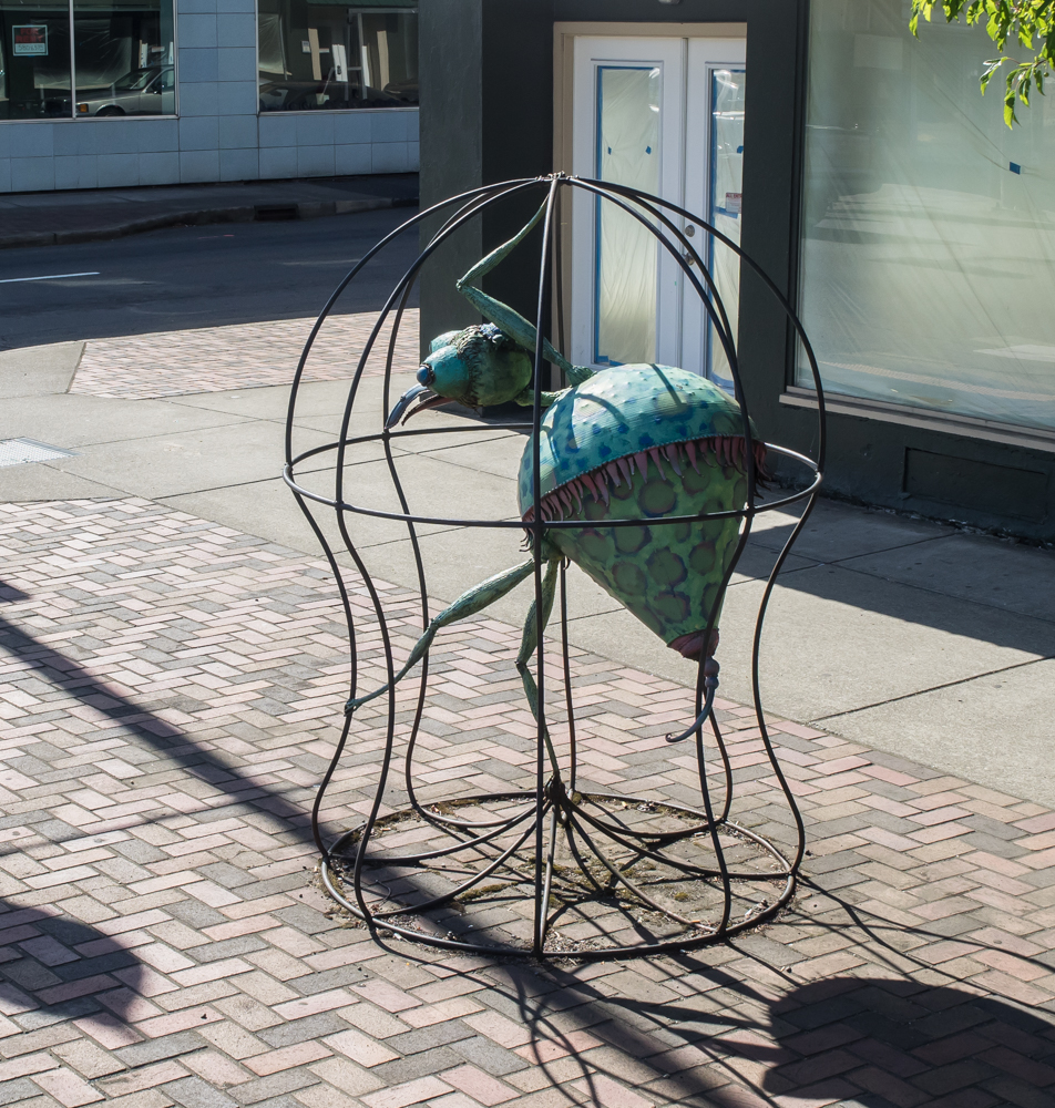
spotted this odd sculpture on a sidewalk in Aberdeen.
We ended
up spending the night at Lake Quinault, in the rain
forest. There happened to be a restaurant within walking
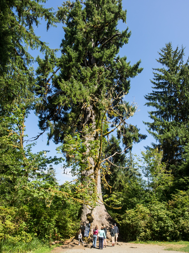
distance so rather than cooking we hiked. Next morning we
found that right next to our camp was "the world's largest blue
spruce tree". This is interesting, but implies that one
has measured every tree on the planet, which is not
likely. Still, it was a big tree.
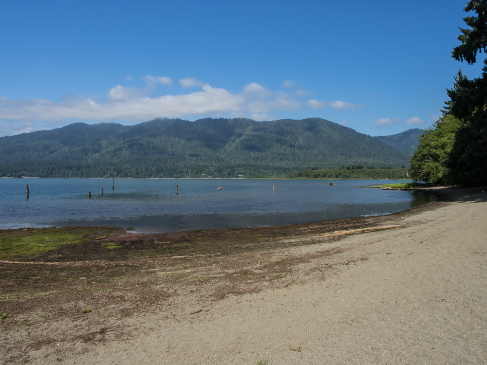
Our camp
had a great view of Lake Quinault. The local area gets twelve
feet of rain yearly. There was moss on
everything but we were treated to a sunny day.
We had a
nice beach at our camp but did not go swimming as the water was
chilly and the 'skeets hungry.
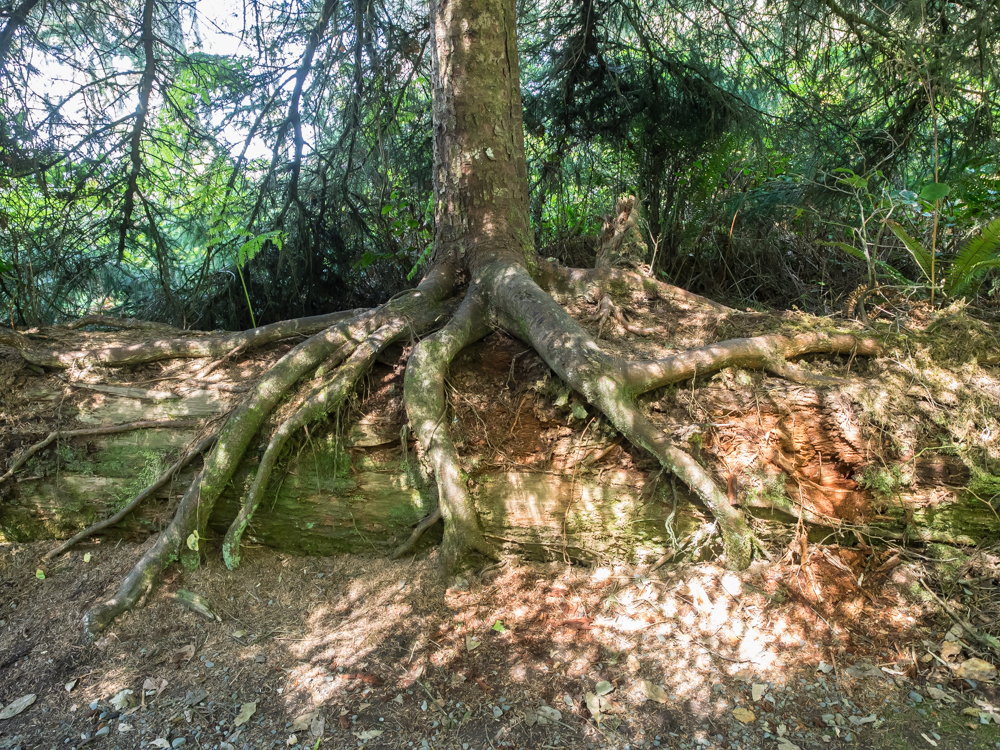
North of
Quinault on the coast road we spotted this tree growing over a
"nurse log". The young tree is stealing the nutrients from
the dead tree.
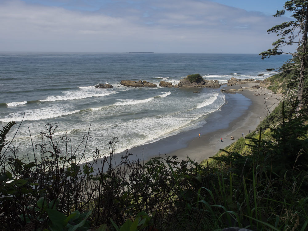
A
highway pull-out gave us a nice view of the beach below.
There is a lighthouse on the distant island.
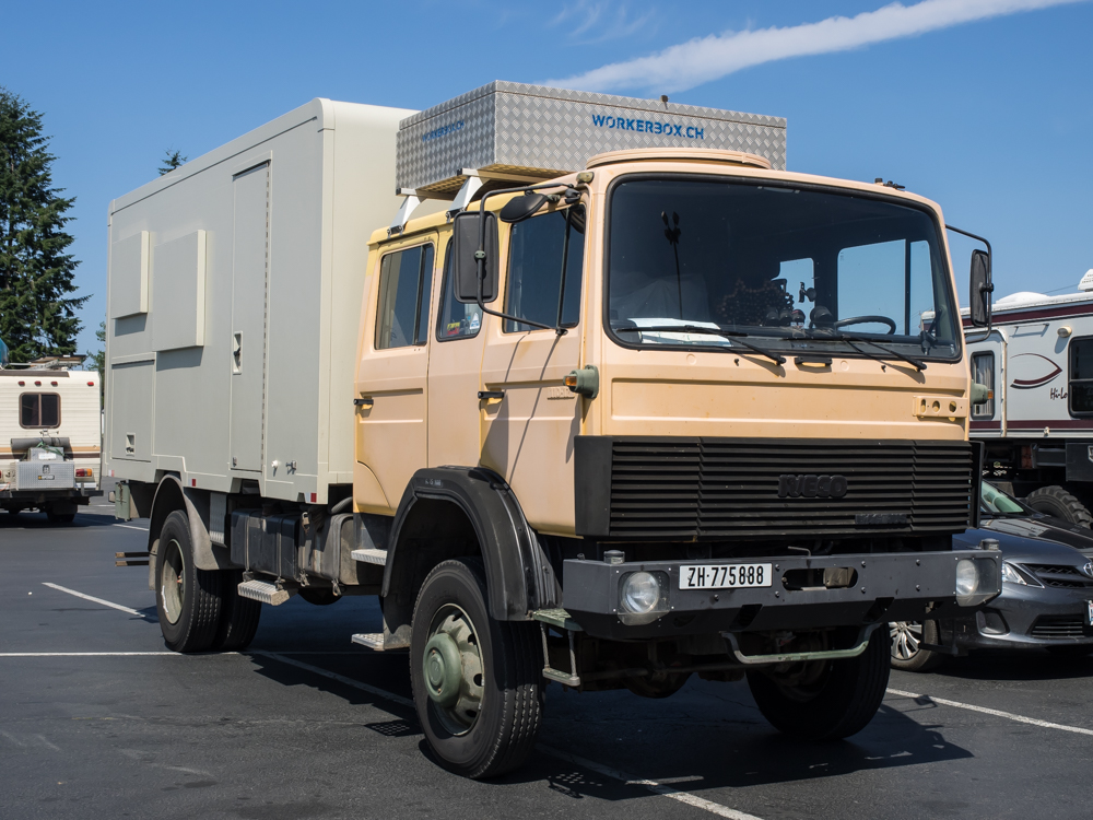
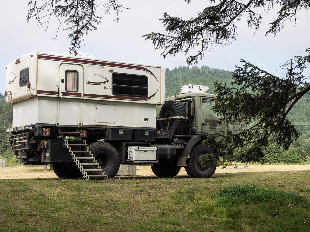
We
pulled into Forks, WA for a supply stop and we spotted this rig
in the parking lot of the local supermarket. This is an
ex-German military Iveco DOKA 4x4 cargo hauler with an Ormocar
foam-fiber panel camper. The couple are Swiss and doing an
extended tour of North America and had recently returned from
South America.
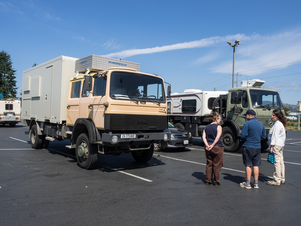
This
truck is quite a bit taller than Thor and while the owner said
that going through trees was no problem he had to agree that
Thor had plenty of brush scratches on the upper part of the cab
that would have been an issue for him. His whole truck was
remarkably free of scratches. All of his windows had theft
covers which also prevent damage from low branches.
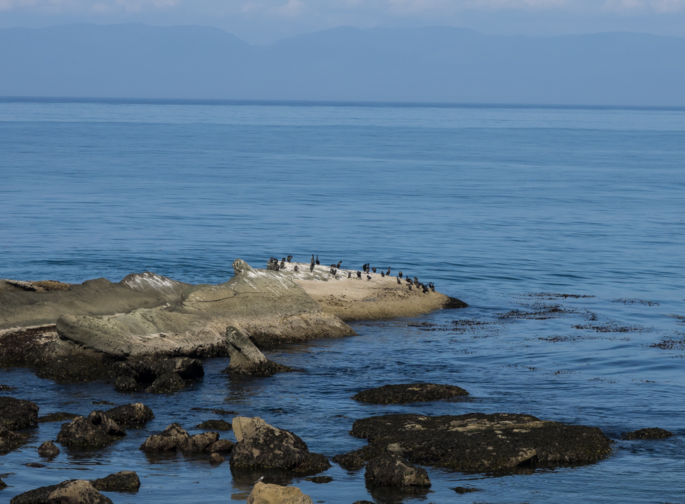
We left
US-101 and headed north to the Strait of Juan de Fuca where we
spotted these cormorants resting on the beach rocks. Our
route took us to Cape Flattery, the most northwest point in the
CONUS.
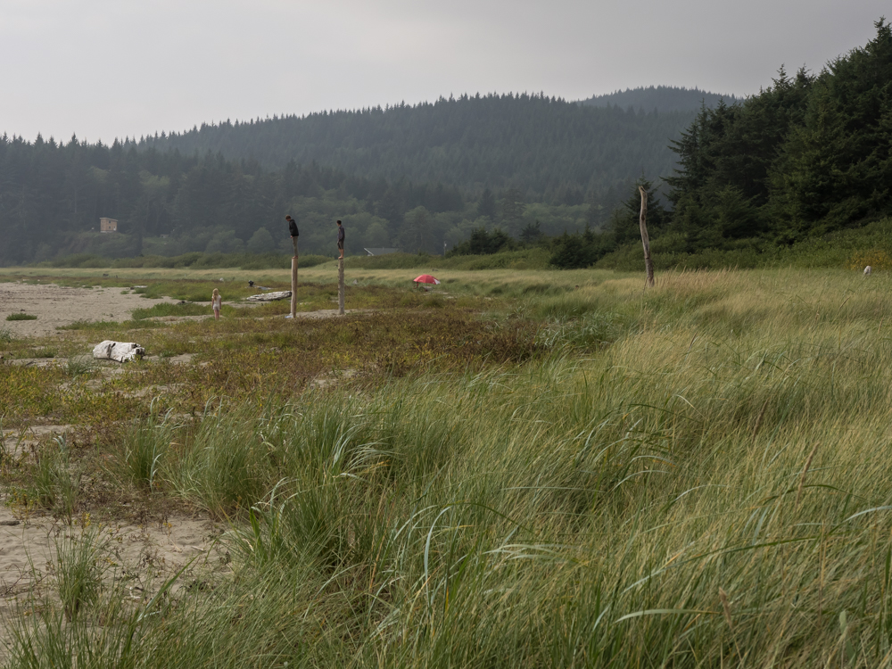
Our view
at Cape Flattery was obscured by the trees and it was too late
to take the multi-mile hike, so we ended up at Hobuck Beach on
the Pacific coast. While checking out the beach, I spotted
these two young boys on the top of posts. They were likely
coming to understand the military term "standing a post".
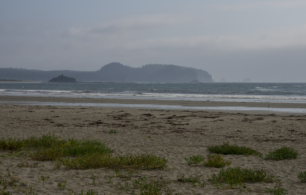
To our
south across Miekkaw Bay we could see Anderson Point and Portage
Head.
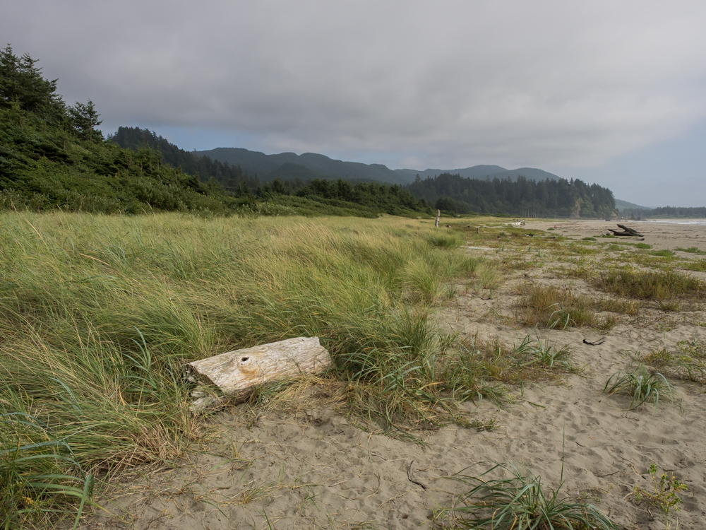
The
windswept coastal dunes had isolated patches of grass holding
the sand in place from the strong winds.
Our camp
at Hobuck Beach is on the Mahka Indian Reservation. The RV
sites were full, so we elected to take a remote came near the
beach.
We
traveled the entire north-south length of Washington state in
only 2 days. This was much faster than our normal speed,
but we had a meeting with friends that is constrained by their
(ugh) work schedule. The Oregon coast is probably the most
scenic on the entire west coast of the U.S. but because of its
beauty it is heavily traveled (and populated). If you
elect to head to the area, be sure of your hotel/motel/camp
arrangements lest you be left in a pinch with many miles to
travel before your next (likely also full) possible stop.
We usually travel fully ad-hoc, but got the message loud and
clear in the Astoria area.
| Previous Adventure | ||
| Trip Home Page |
Photos and Text Copyright Bill Caid 2014, all rights
reserved.
For your enjoyment only, not for commercial use.