We
spent several days at the Lost Ranch owned by our good friends
Bob and Sandy. It was nice to be able to relax.
After a few days we collectively decided that we needed more
than just relaxing. Bob had gotten tickets to a benefit
for the Park West hospital in Cody. The benefit was held
at the huge Pitchfork Ranch and had a BBQ, hay rides, barn dance
with a live band and, oddly for a benefit, an open bar.
The photos below are what we saw.
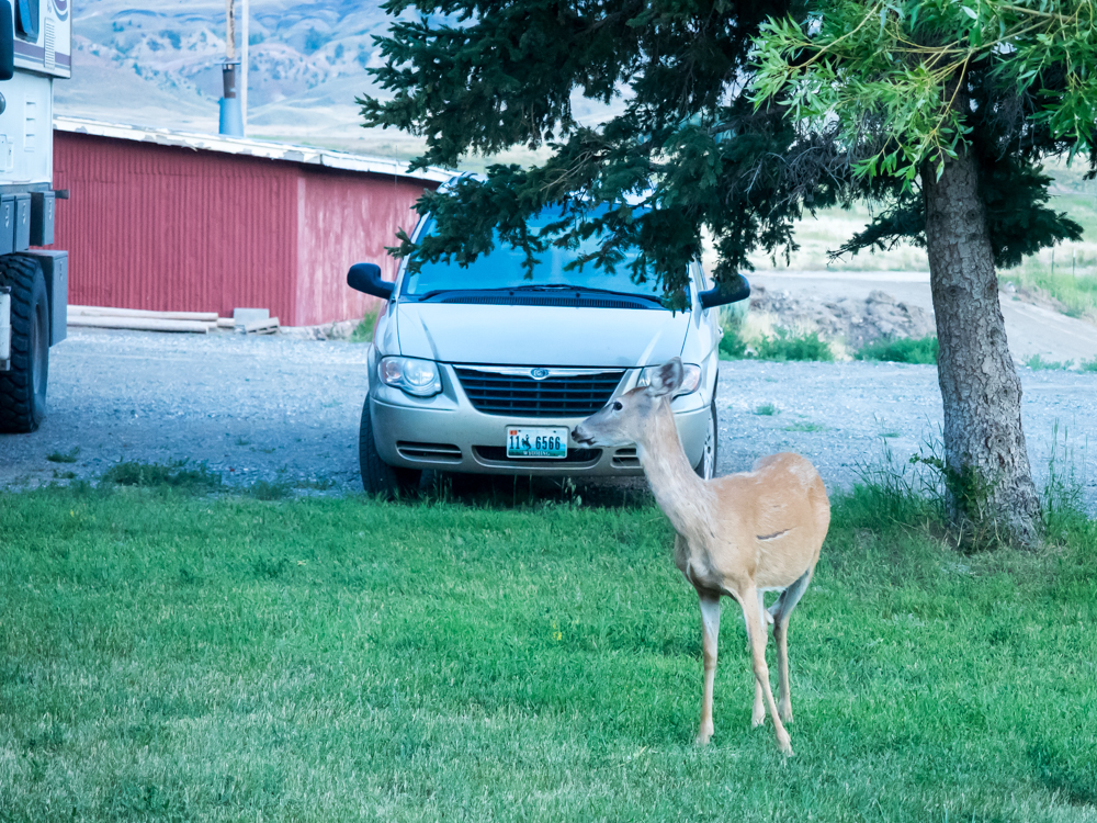
There is
plenty of game at Bob and Sandy's ranch and this deer was quite
interested in the green grass next to the house.

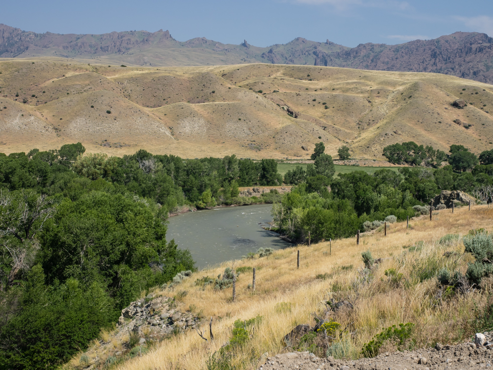
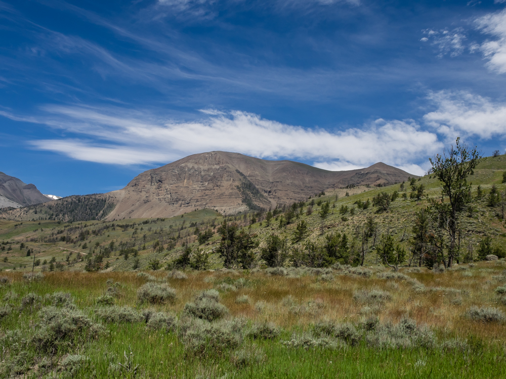
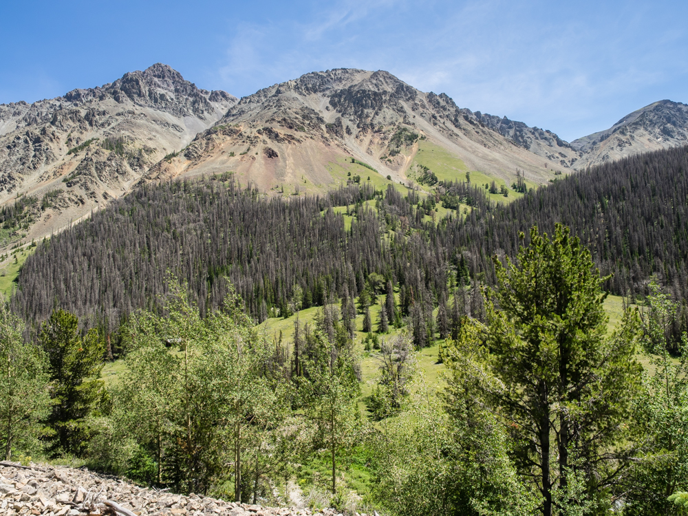
The
views of the mountains around the South Fork of the Shoshone
River were fantastic.
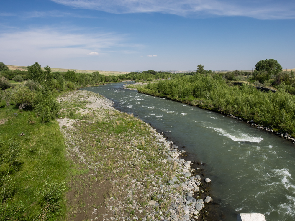
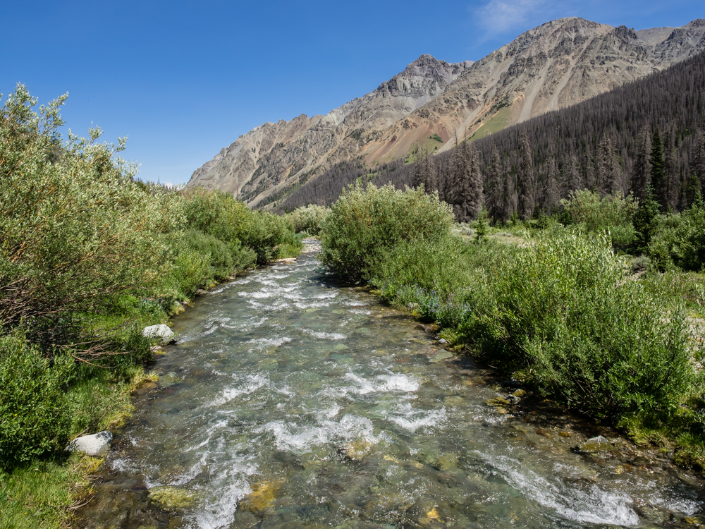
The
South Fork of the Shoshone River was flowing strong. The
water provides irrigation for the surrounding hay fields.
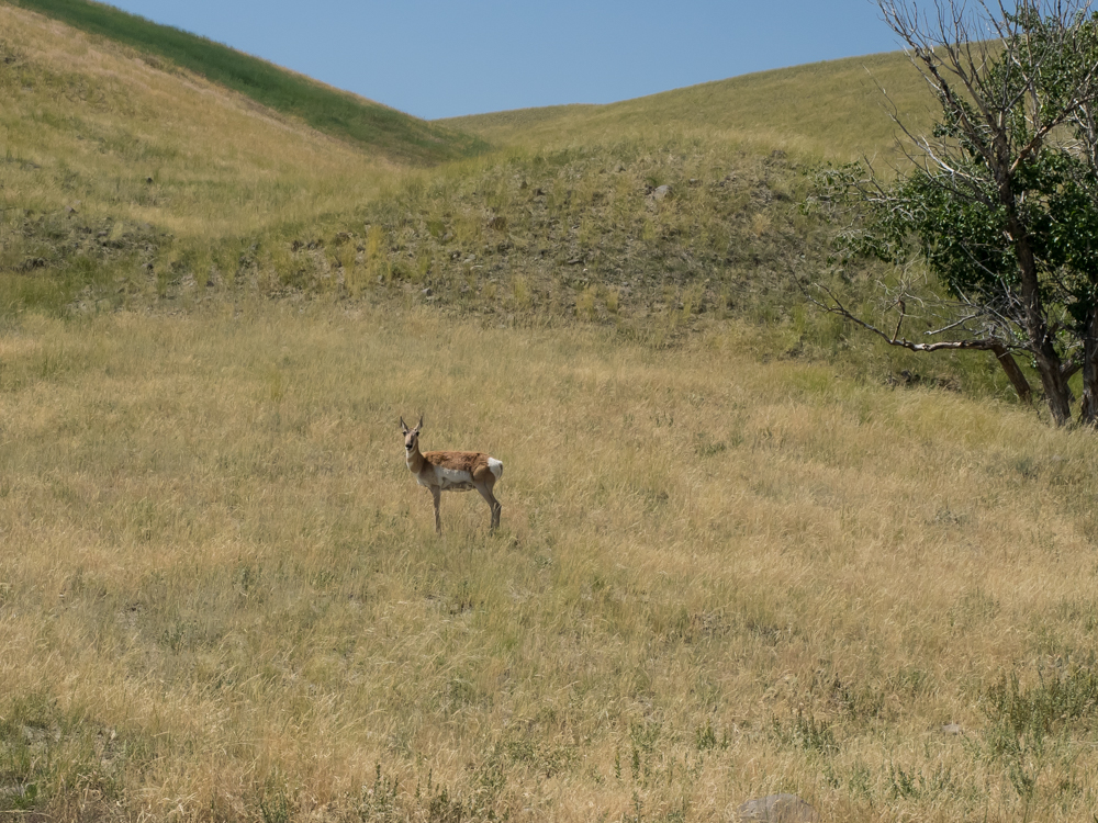
We
packed up and headed toward Meeteetse, WY then southwest into
the mountains. We saw plenty of antelope along the trail.
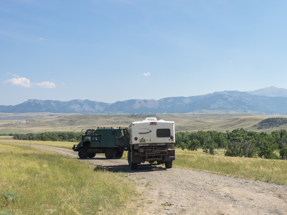
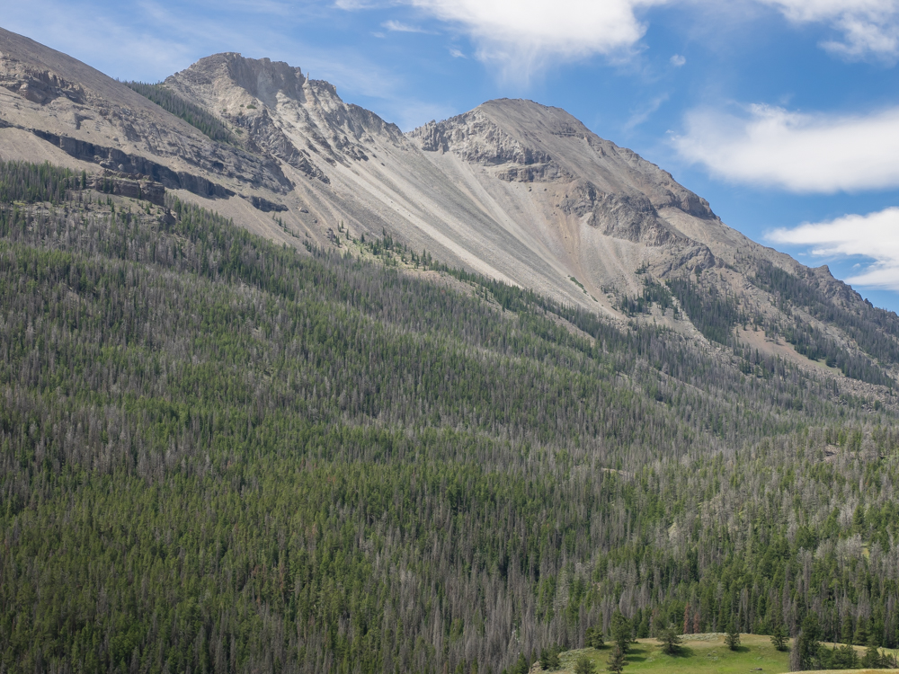
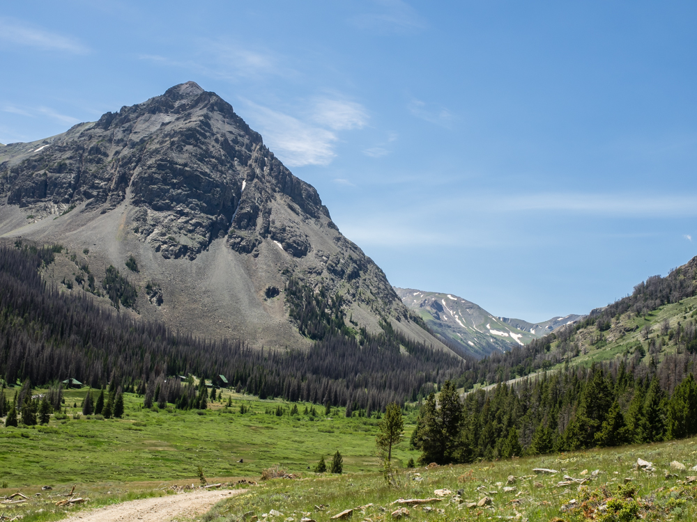
We
traveled to the Pitchfork Ranch and then continued on up the
road to a nice view point. The surrounding mountains are
rich in timber, grazing land and oil. Bob told us a story
about one of the ranch owners who found it impossible to
maintain their lifestyle on their $90,000 per month oil
royalties, so their response was to start making bad investment
decisions.
The
creek that flows through the Pitchfork Ranch was flowing strong.
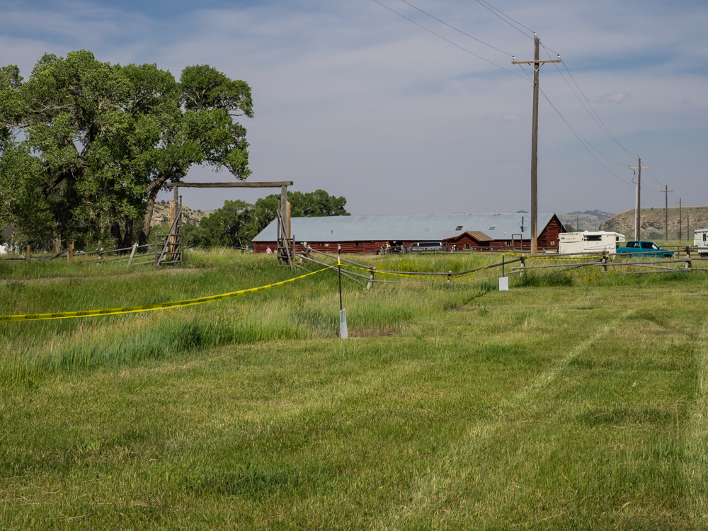
We
arrived back at the main facility at the Pitchfork where the
party was being held. We parked in a cut hay field.
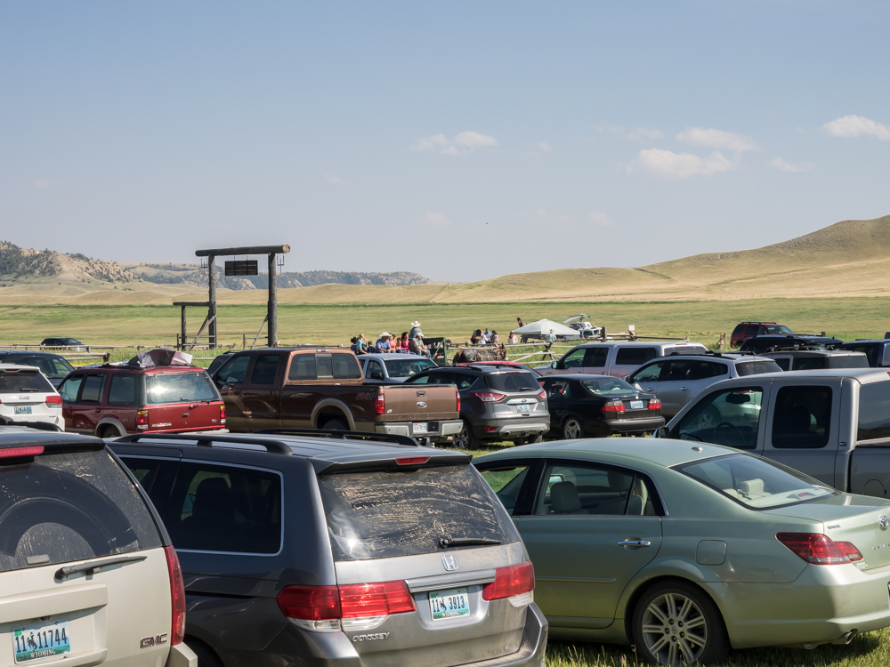
Shortly
after we arrived, the other patrons arrived, even the EagleMed
helicopter (part of the hospital). The benefit had a large
turnout and they served a mountain of food and liquor. We
also found out that there was a live country western band as
well. The band was great and everybody danced their feet
off until the band played it's last song. The open bar
combined with the live band created an interesting environment
and everybody had a great time.
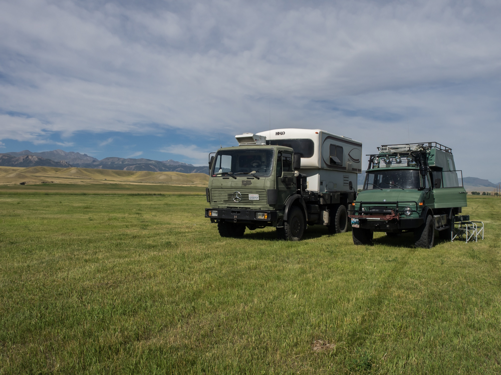
After
plenty of liquor and dancing, we retired to our campers in the
hay field. We spent a calm night there and Kathleen made a
great breakfast for us the next morning. The morning broke
clear, calm and hot.
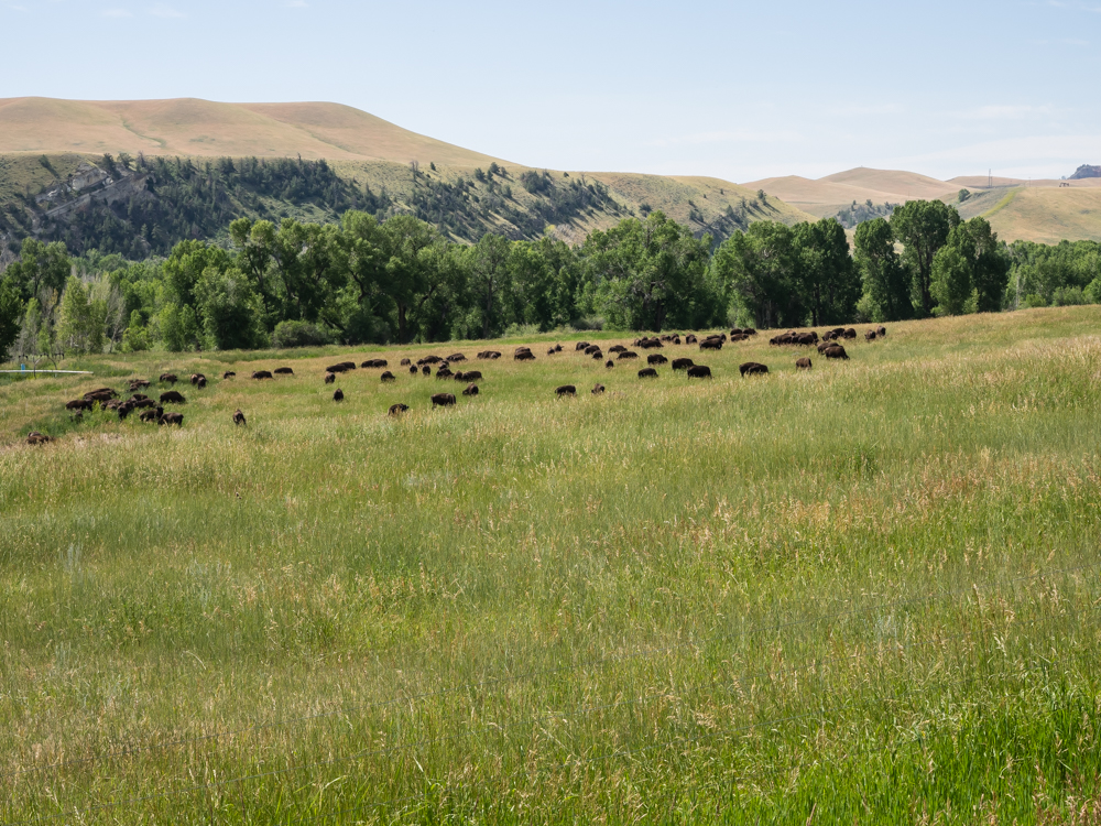
We
headed over to the Wood River Valley where we encountered a
substantial herd of buffalo.
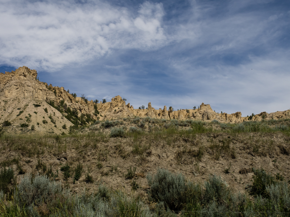
We
followed the Wood River upstream and passed some nice hoodoos in
the cliff.
The path
along the Wood River followed miles of fences separating ranch
lands from Forest Service land. Our destination was the
"Double D" ranch. Normally, when I think of Double D, I
think of something completely different, but this Double D was
nice too.
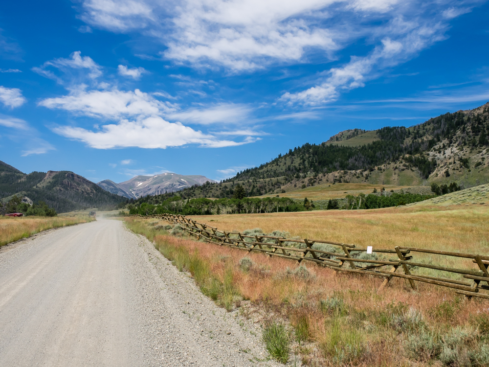
The road
to the Double D ranch gave us nice views of the still-snow
covered peaks to the southwest.
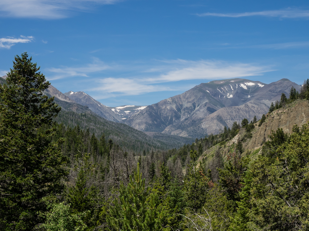
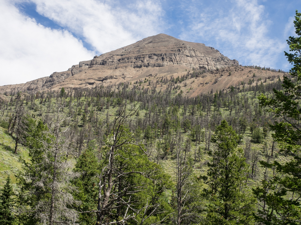
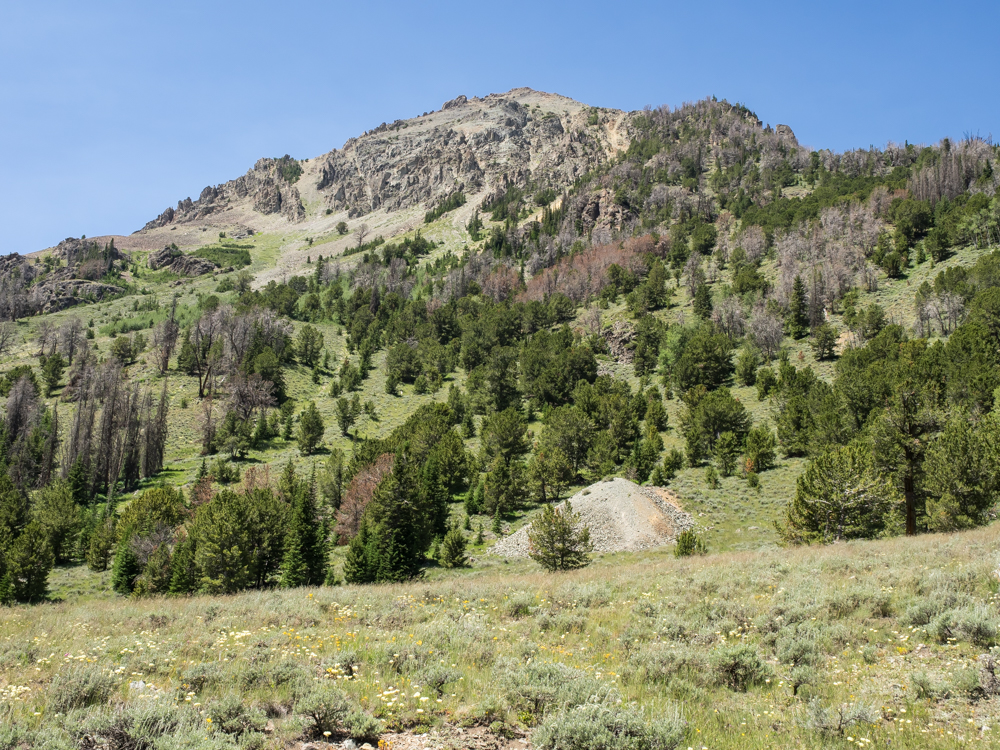
The
trail is visible at the base of Brown Mountain.
On the
south side of the canyon the walls were steep and laden with
scree.
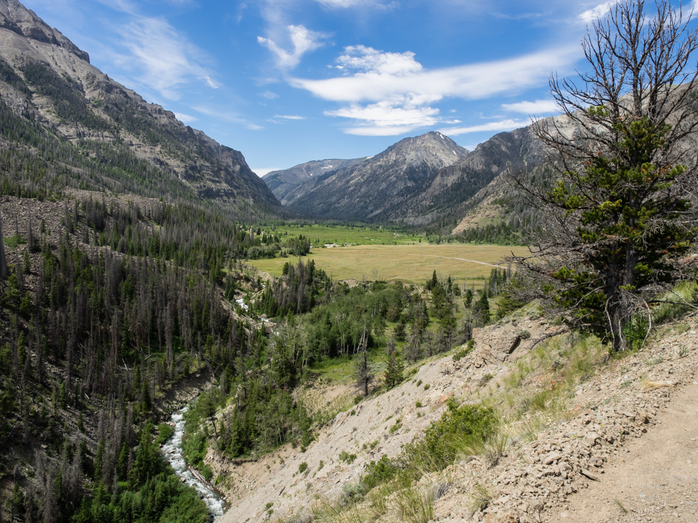
The
trail descended to the valley where the Double D ranch is
located.
We
headed up the side track to the Double D headquarters and
discovered that there were a large group of vehicles
there. Turns out that the group was associated with the
hospital benefit. The Double D was hosting a "history
tour" of the old ranch facilities.
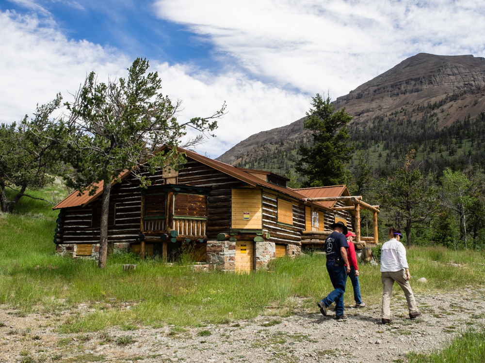
Bob,
Sandy and Kathleen walk past part of the Double D facility.
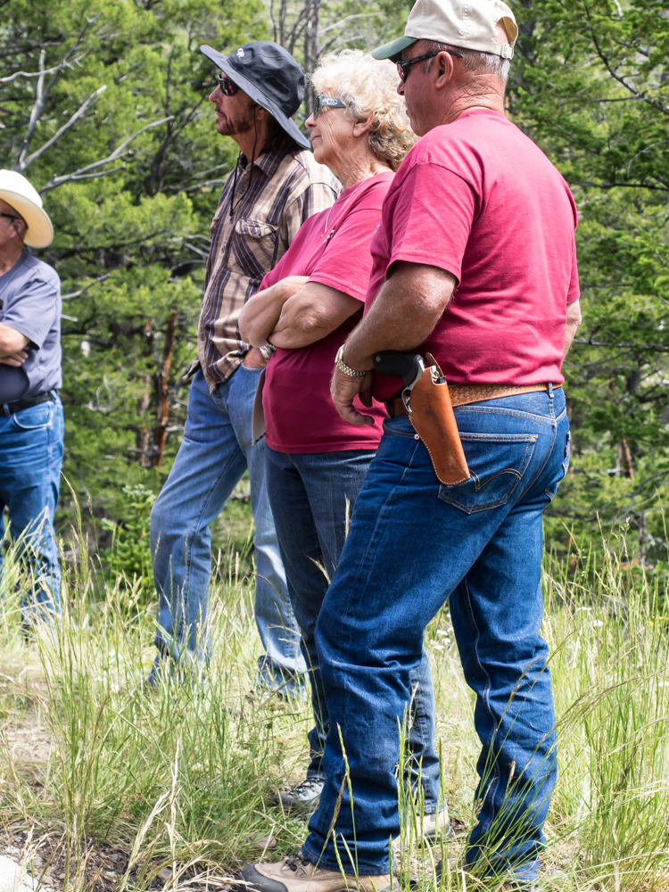
The
story here is not that this fellow "is packing" but rather a
stark reminder that we are in bear country and caution is
mandatory. A near-fatal mauling happened not too far from
the Kirwin area resulting in an air evacuation, long
hospitalization and extensive restorative surgery.
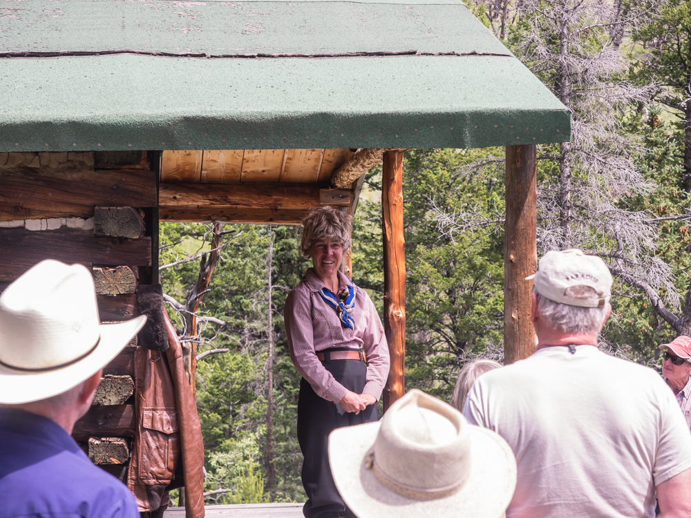
Part of
the history of the Double D ranch included Amelia Erhart.
Back in the day, the Double D was a dude ranch and Amelia stayed
there several times. She later purchased some land to the
west of the abandoned mining area Kirwin for her own
ranch. She died before the house was completed.
Above, an actress in character speaks as if she were Amelia and
answered questions about her life and the ranch.
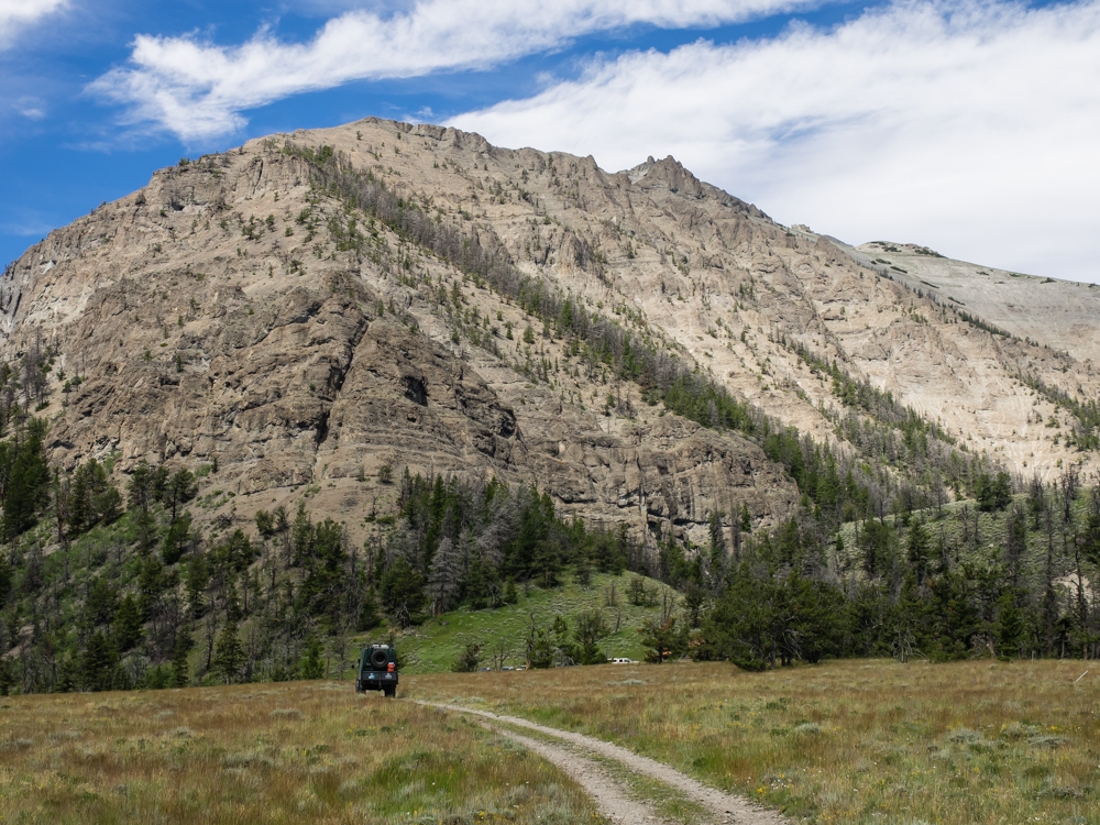
The
Double D ranch is at the base of Brown Mountain (an obvious
name).
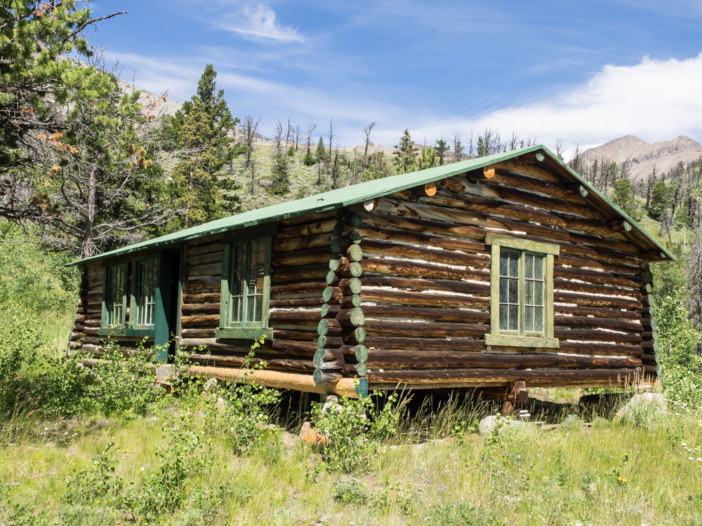
Another
one of the Double D ranch structures.
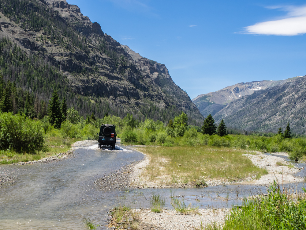
From the
Double D, we continued up the trail to the abandoned mining camp
of Kirwin. The road followed the creek and had many water
crossings.
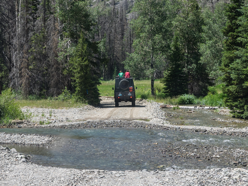
At the
Double D, Bob and Sandy offered to transport a couple of young
girls to Kirwin. They made good use of the camper's roof
hatch.
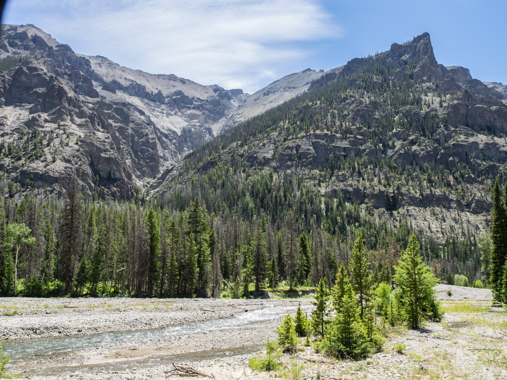
The
trail to Kirwin went through steep, scenic canyons.
The
slopes of the mountains around Kirwin were the source of many
avalanches that killed many of the miners.
The
terrain reminded us of the Canadian Rockies.
Kirwin
was a site of many gold and silver exploration mines. None
of the mines proved economically viable, but a number of
minerals were discovered but were not interesting to the miners
at the time.
At the
end of the trail we crossed a foot bridge to the opposite side
of the creek to see the Kirwin ruins.
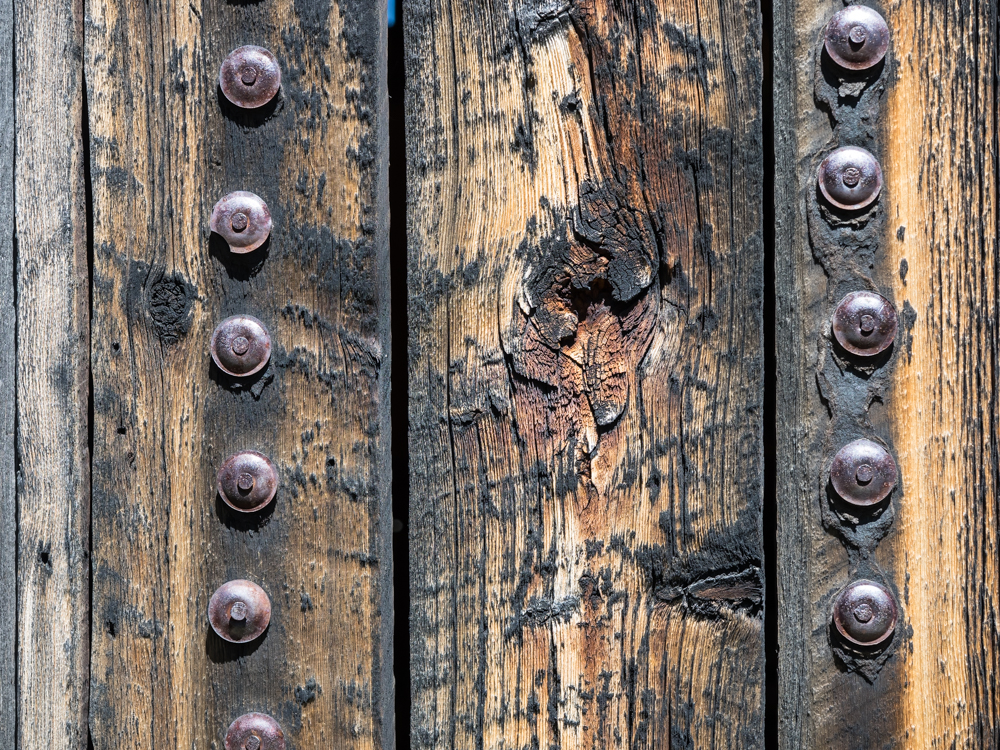
The
mines were at about 9400 feet elevation so the winters were
harsh. These nails and washers were used to hold tar paper
over the wood sides of the buildings to keep out the wind and
rain.
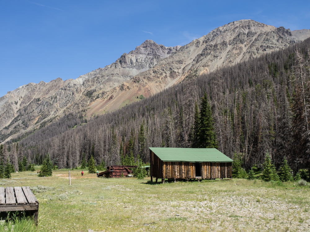
Many of
the buildings at Kirwin were in poor repair and were dangerous
to enter. But, the scenery was outstanding.
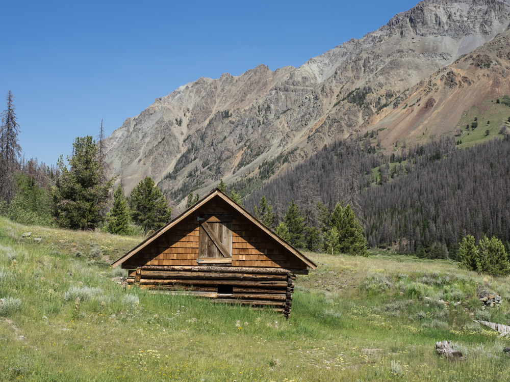
Some of
the structures at Kirwin were relatively new.
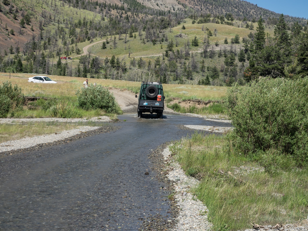
This
fellow wanted to go to the Kirwin ruins in his Ford Escort but
thought better of the deep water crossing after watching Bob's
416 cross.
| Previous Adventure | ||
| Trip Home Page |
Photos and Text Copyright Bill Caid 2014, all rights
reserved.
For your enjoyment only, not for commercial use.