We left Lost Ranch at Cody and headed north to the Big Horn Canyon to see what was there. This area of Wyoming is part of the so-called overthrust belt and the Big Horn Mountains are the result of these tectonic actions.
The photos below are what we saw.
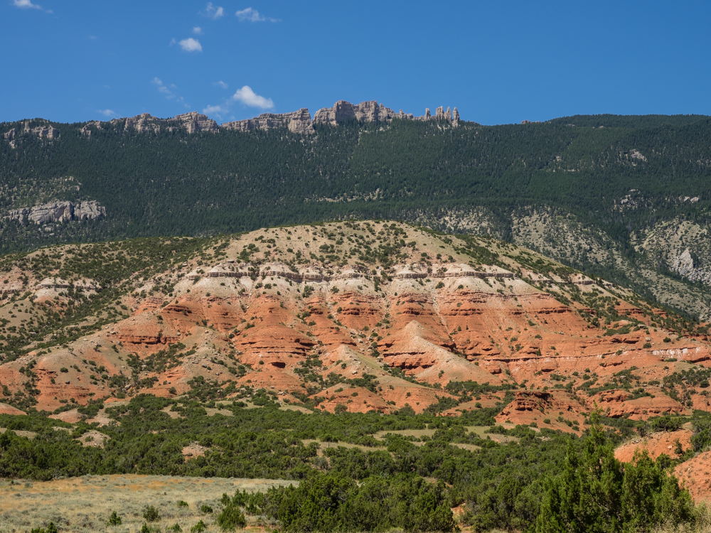
The face
of the Big Horn Mountains are rugged. Deep canyons have
been carved due to erosion in the uplift.
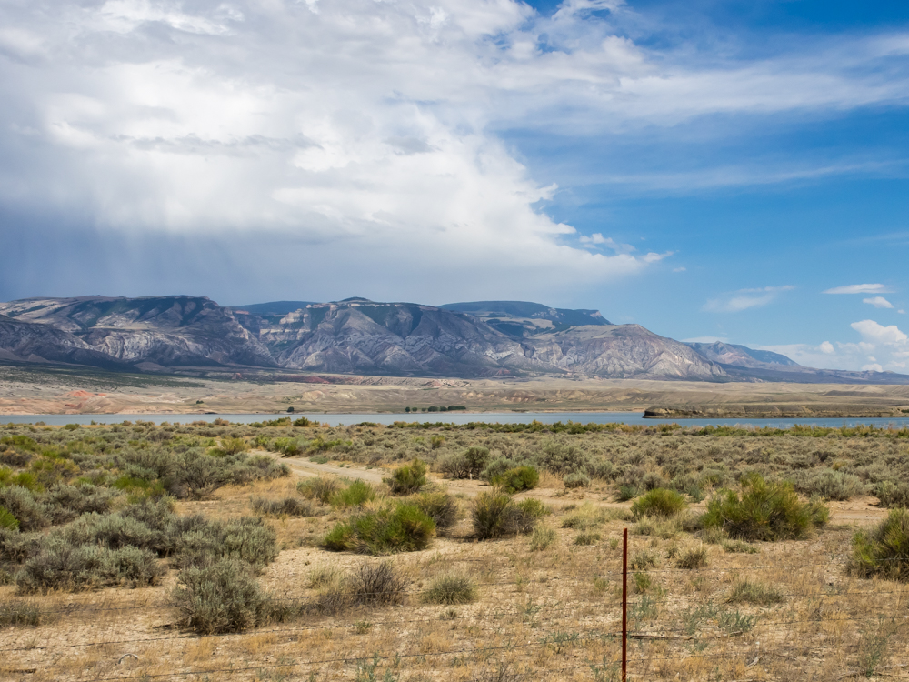
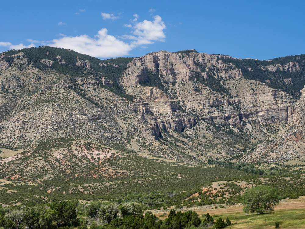
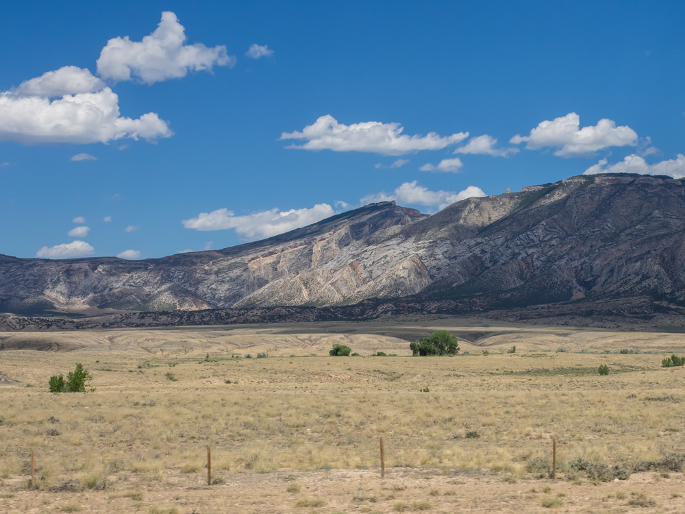
We
traveled many miles of dirt roads to reach a remote spot on the
shores of the reservoir formed behind Yellowtail Dam on the Big
Horn River. The warping of the bedding is clearly visible
on the right of the photo.
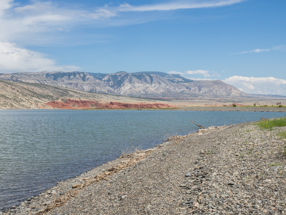
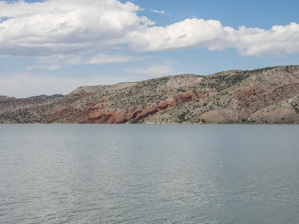
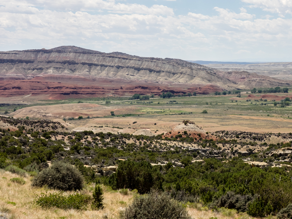
The
shore of the reservoir was composed of river cobbles and glacial
debris. The sweep of the uplift that created the Big Horn
Mountains is clearly visible.
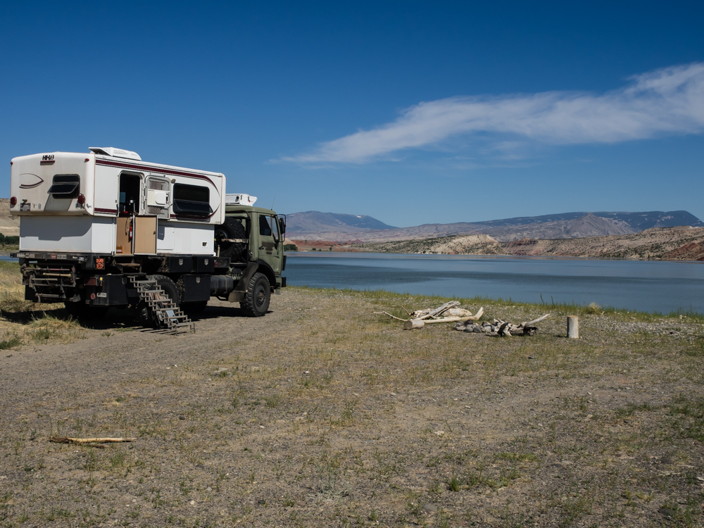
We were
all by ourselves and made good use of the isolation. Until
the wind came. Early in the afternoon, it was calm.
At about 5pm we suffered 50mph winds and actually repositioned
the truck to face into the wind. The wind was strong
enough that we were both concerned about the possibility of the
truck being blown over. Rather than run the risk, we
repositioned with our nose into the wind. The winds lasted
to about sundown and then it became calm again.
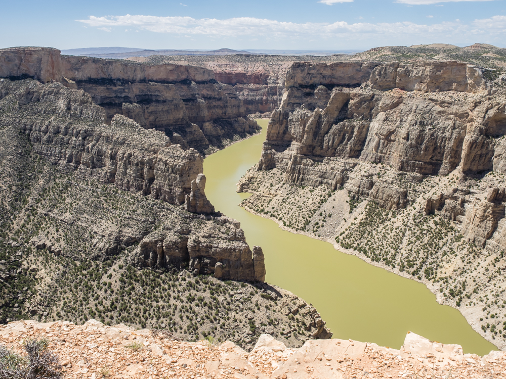
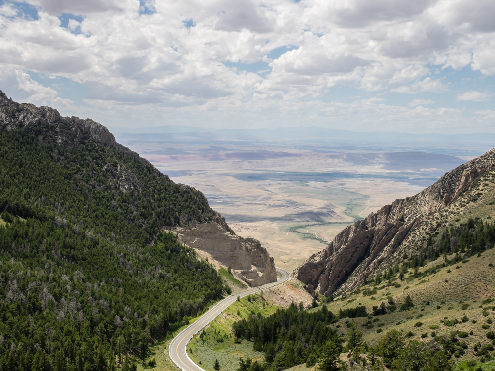
Next
morning, we headed north into the Big Horn Canyon and came upon
an overlook that provided an awesome view of the canyon.
The
waters of the Big Horn river carved the canyon as the area
around it suffered the uplift. The area was essentially
flat resulting in many oxbows in the river which were propagated
as the uplift progressed.
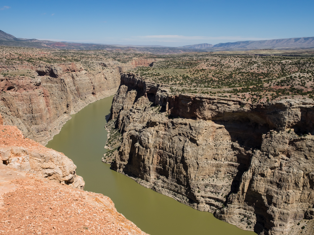
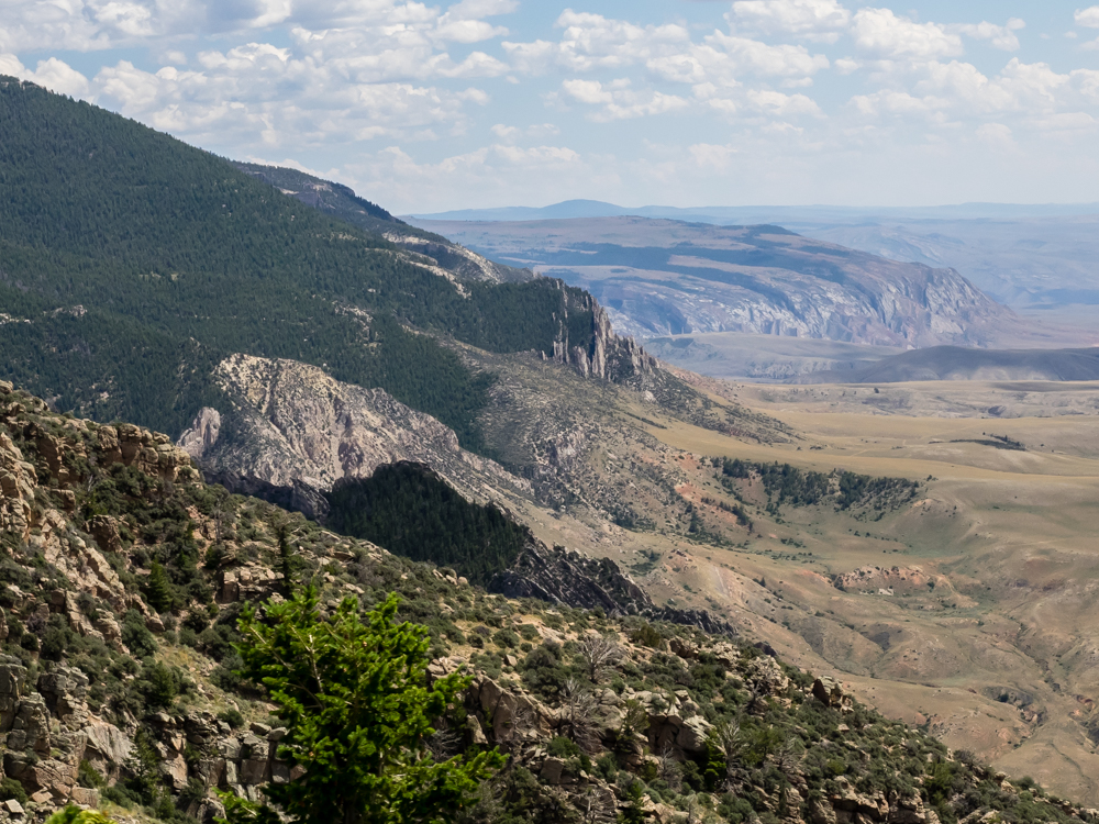
The
river held its path as the uplift slowly progressed, carving a
deep canyon into the underlying strata.
The
crest of the uplift anticline is visible in the center of the
photo above.
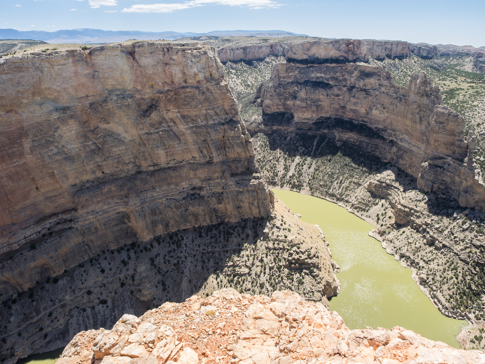
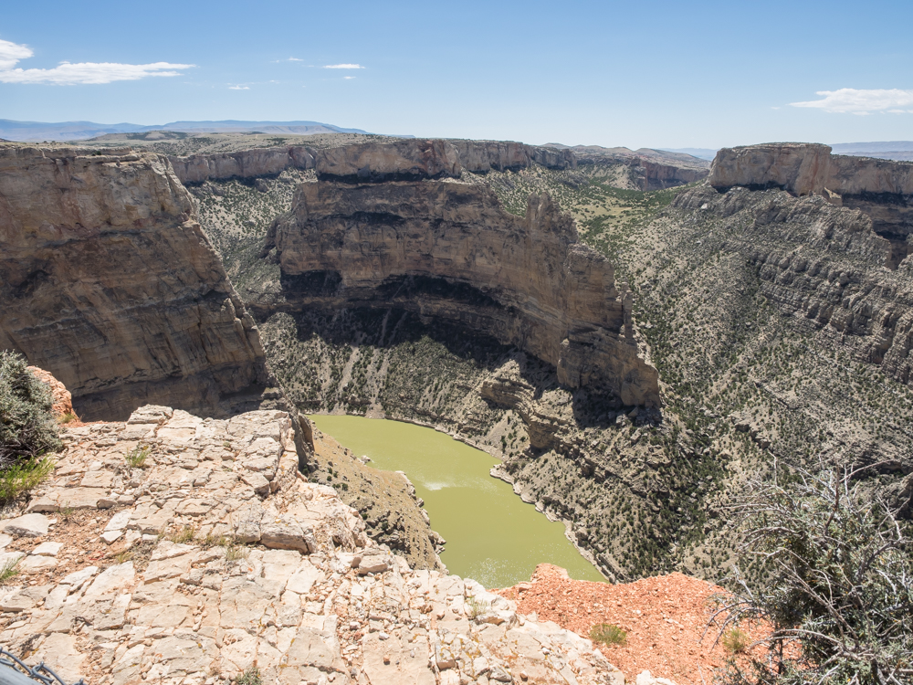
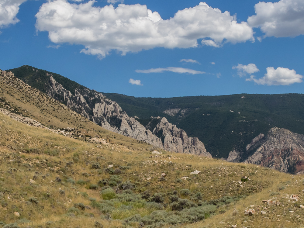
There
were huge faults that resulted from the uplift leaving large
cliffs with hoodoos.
Some of
the limestone formations resulted in huge palisades and
ramparts.
We
elected not to travel on the dirt roads into the Crow Nation and
turned south instead. The uplift and faulting resulted in
a huge hogback structure.
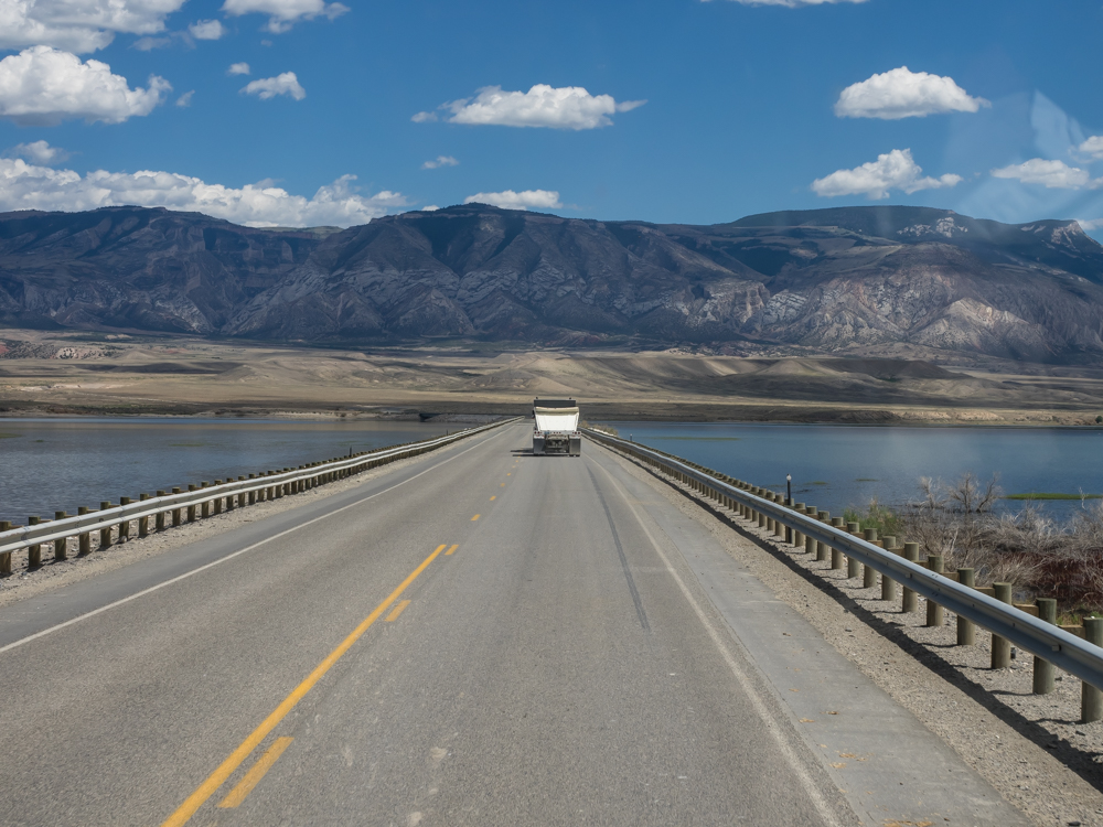
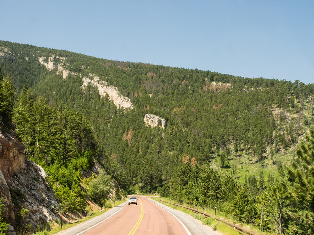
We
traveled east over Big Horn Lake and into the Big Horn
Mountains.
The
sweep of the uplift is clearly visible above.
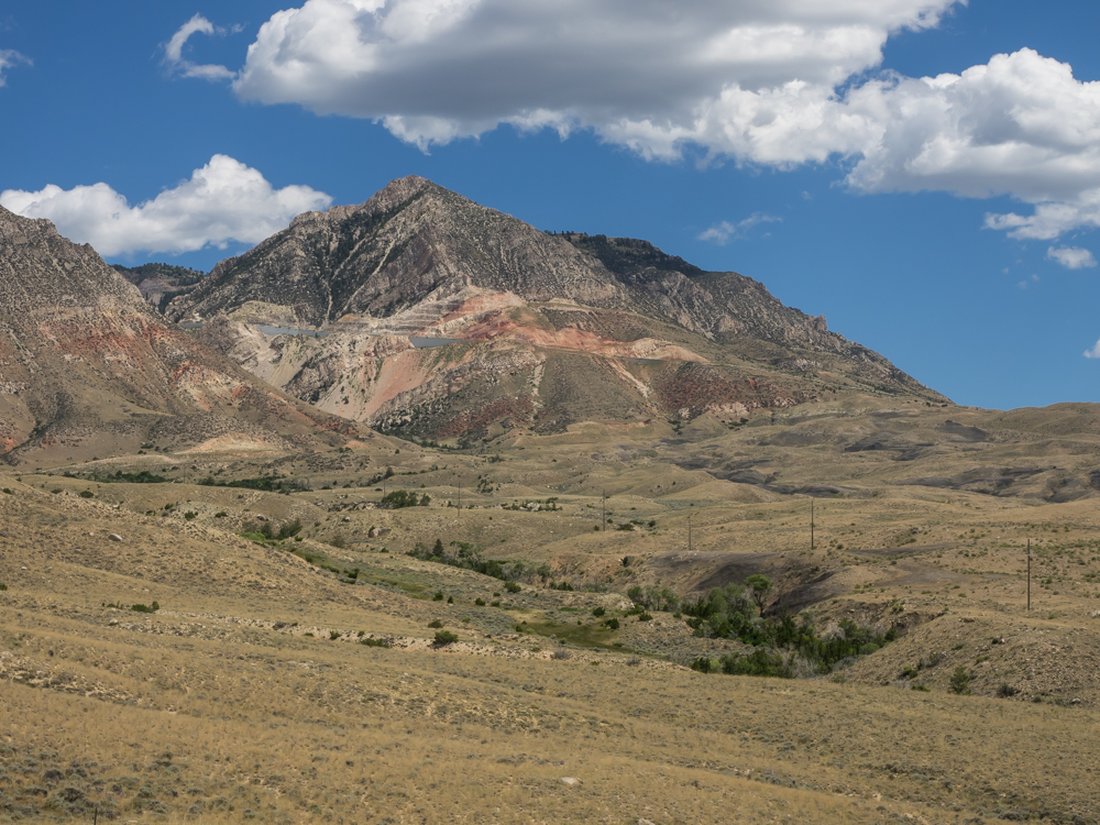
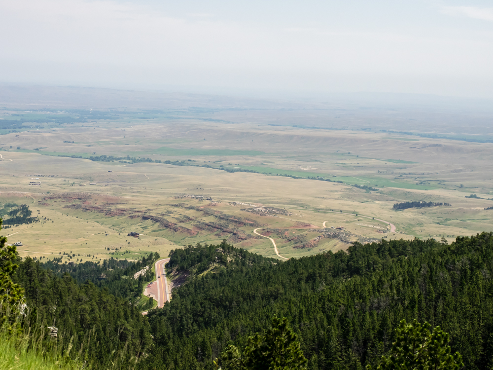
At
first, we thought that the scar on the mountain was a mine, but
later discovered that it was the road cut. Highway 14A is
very steep and rises from the valley at 3400 feet to almost 9000
feet at the crest.
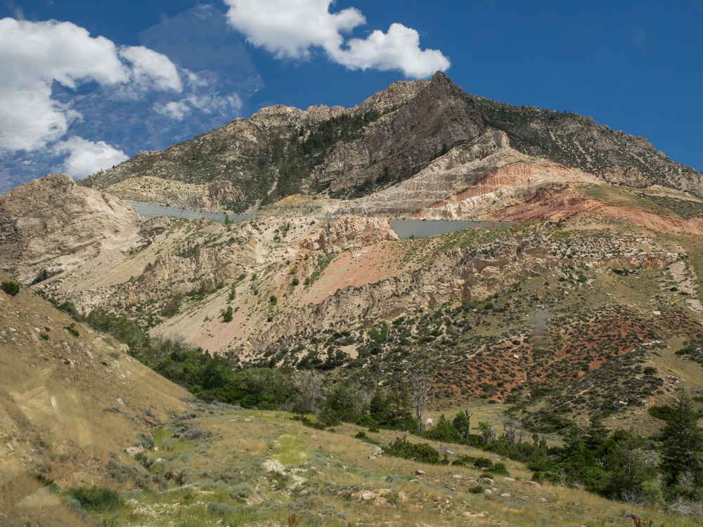
The
grade is steep and therefore slow going up and scary going down.
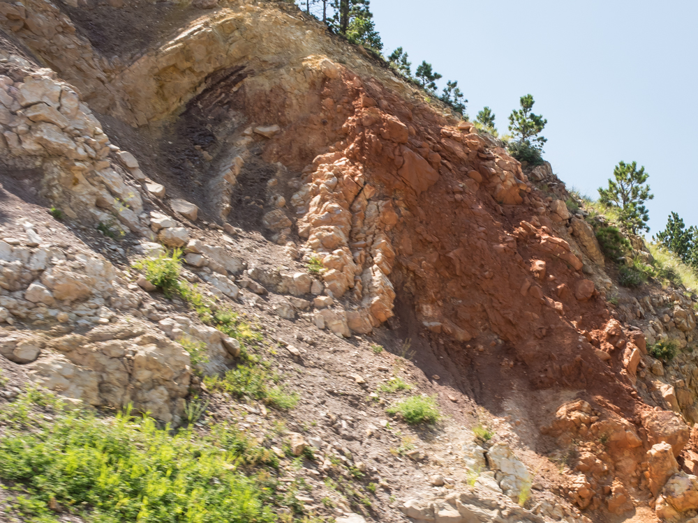
The
uplifted beds resulted in "flat irons" similar in structure to
those in the Boulder, CO area.
A look
back down the canyon from the upper reaches tells the story.
The
folding and flat irons were clearly visible from a view point.
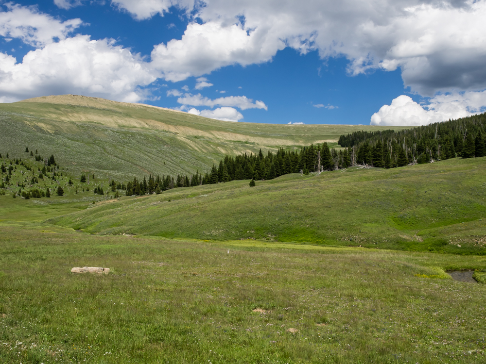
The
upper reaches of the road passed through areas that got plenty
of rain.
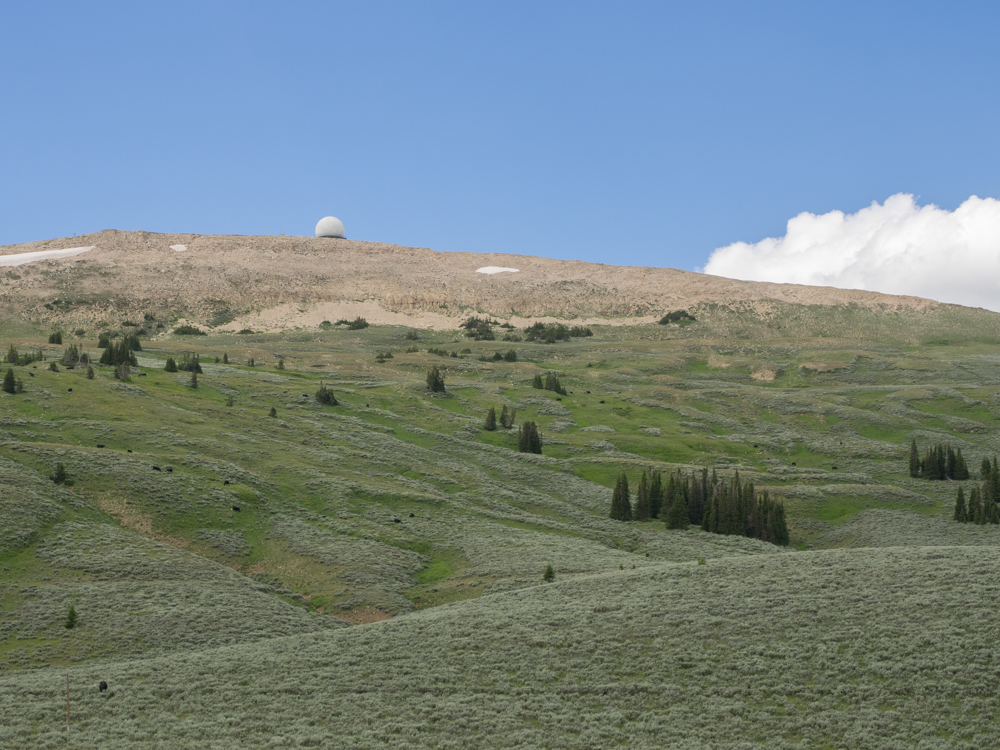
Near the
crest, we spotted this radar station above timberline.
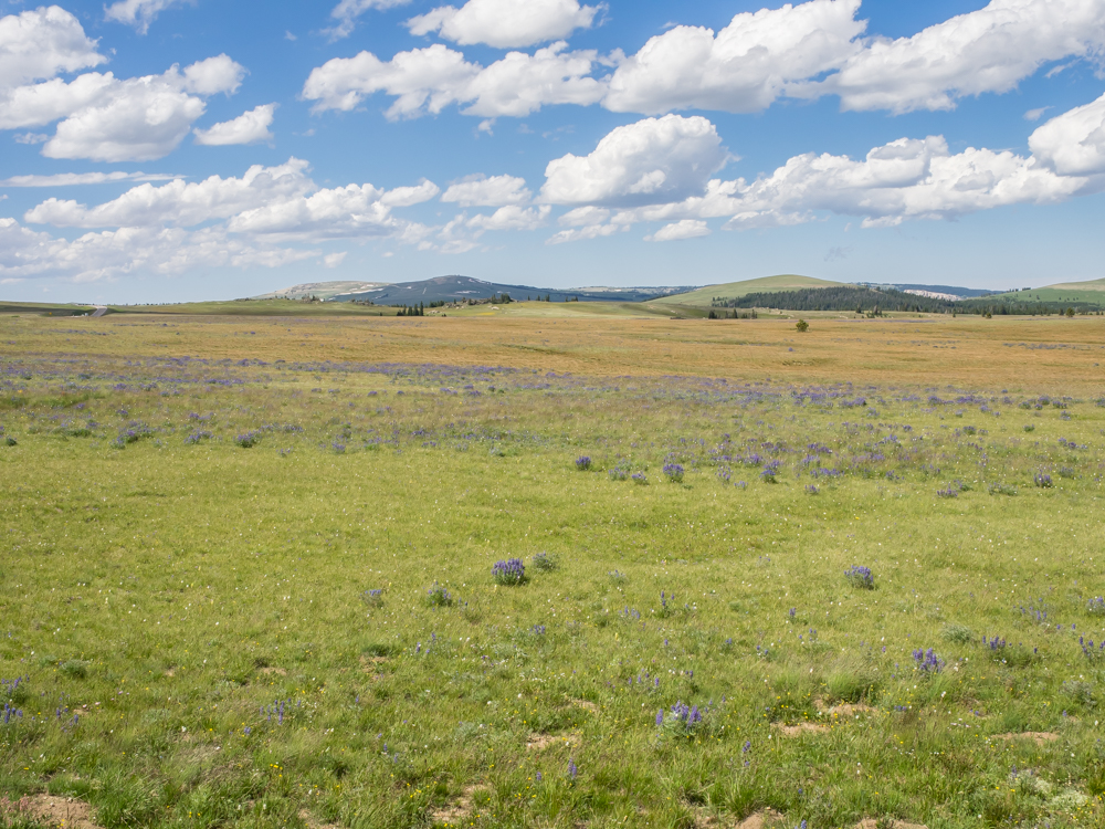
The
upper meadows near treeline were lush with grass and wild
flowers.
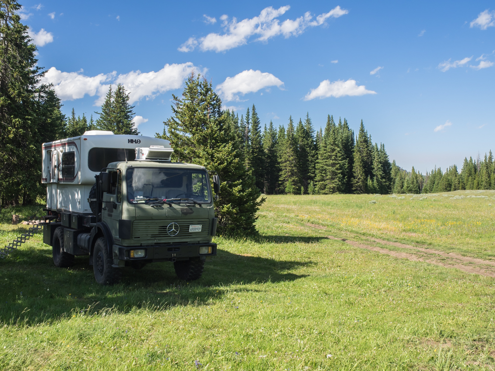
We chose
a dirt road and headed back into the more remote sections to
find a camping spot.
There
were a lot of trailers that were parked in open areas, but they
were unoccupied. We guessed that they were brought up
early in the season and left there as weekend base camps by
folks that lived "close". We found a nice meadow and setup
camp.
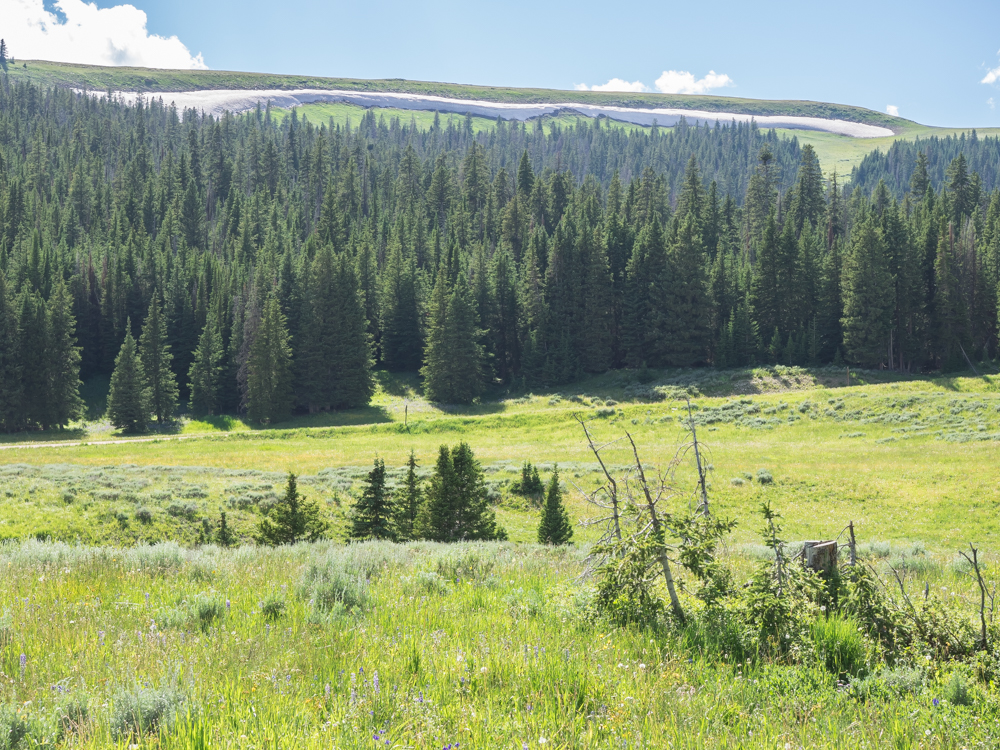
The high
ridges close to our camp still had snow.
Kathleen
made chicken noodle casserole and it was great. Next
morning we continued east on highway 14A and descended the Big
Horn range on the east side. The eastern access was just
as gnarly and steep as the west but the road gave us great views
of the valley below.
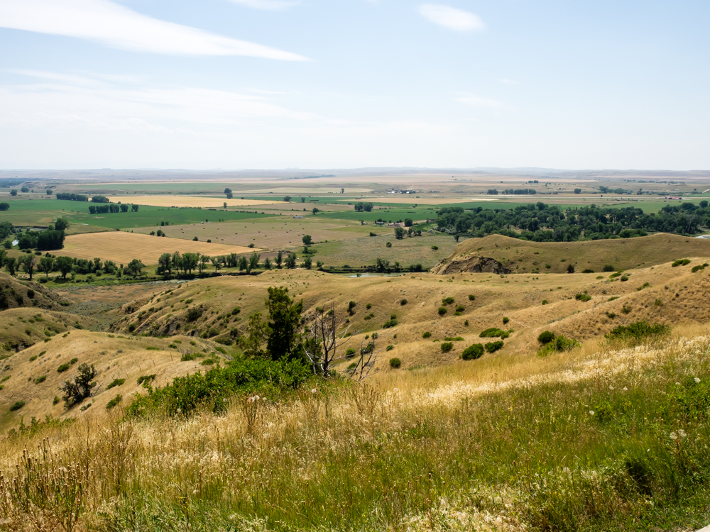
The
eastern flanks of the Big Horns showed the underlying bedding.
Though a
bit fuzzy from motion blur, the warping of the beds is clearly
visible.
We went
to the Little Big Horn battle ground and memorial. The
surrounding area was rolling grasslands and provided a perfect
area for the slaughter that unfolded.
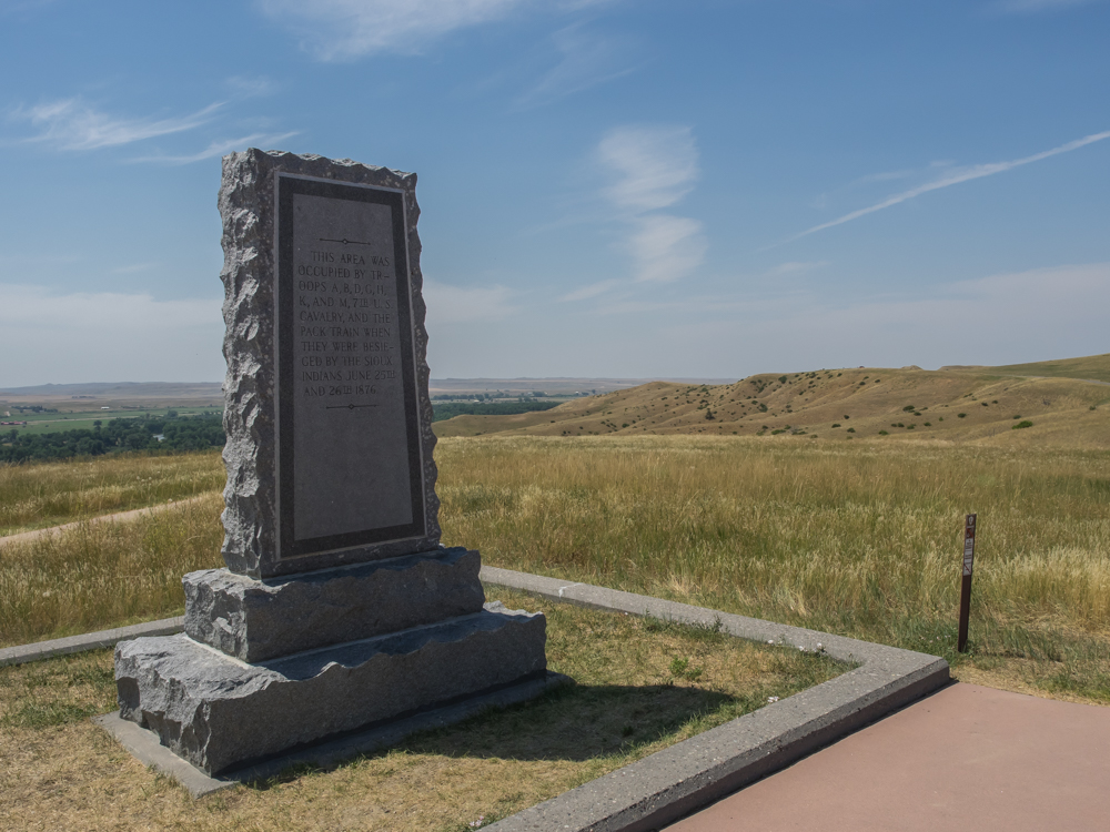
The sign
says: "This area was occupied by Troops A, B, D, G, H, K and M
of the 7th Cavalry and the pack train when they were besieged by
the Sioux Indians June 25th and 26th 1876". This was the
location of General Custer's "Last Stand" where the Indians
killed them all. Despite the lack of courts in the area,
Custer got Siouxed anyway.
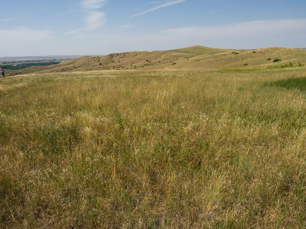
The
rolling grasslands would have provided little cover against an
attack. The outcome was inevitable.
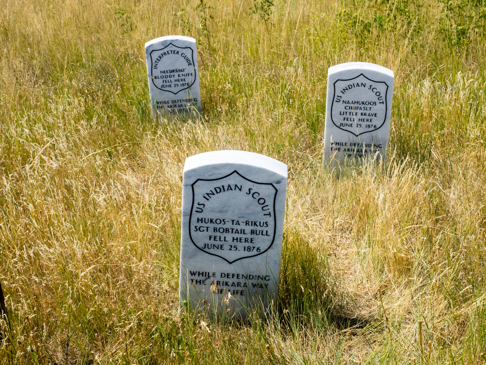
The U.S.
Cavalry used natives as scouts to help improve communications
with the various tribes, but here they were treated as enemies.
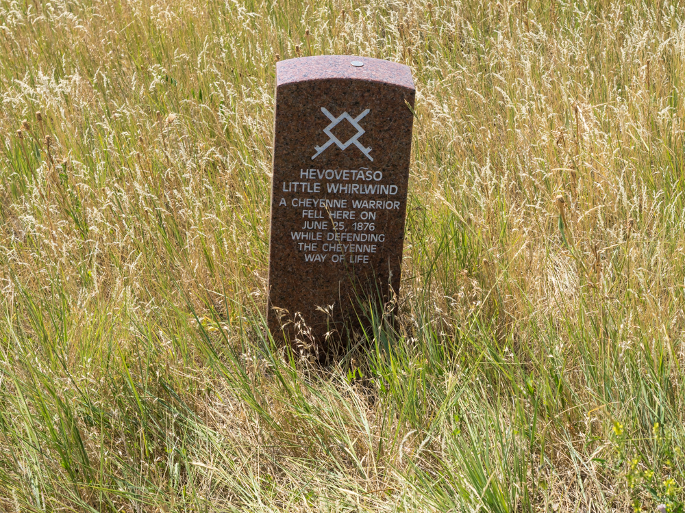
There
was a small placard that stated that the location of the
headstone was approximate and that the actual site of the body
was in the valley below near the creek.
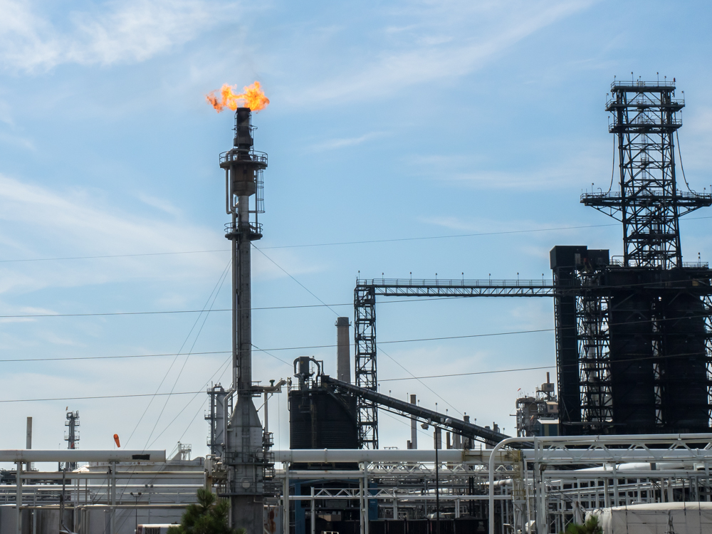
We
motored on to Billings, MT where we passed a significant oil
refinery. Above, dangerous light gasses are torched.
| Previous Adventure | ||
| Trip Home Page |
Photos and Text Copyright Bill Caid 2014, all rights
reserved.
For your enjoyment only, not for commercial use.