We spent the night at a remote camp at the crest of the mountain. The camp was not too far from Bergdorf (which is north of McCall, ID). The trip from the camp site to McCall was trivial as the road turned into asphalt just a few miles into the journey. From McCall, we set our sights on Hells Canyon via the Kleinschmidt Grade.
The photos below are what we saw.
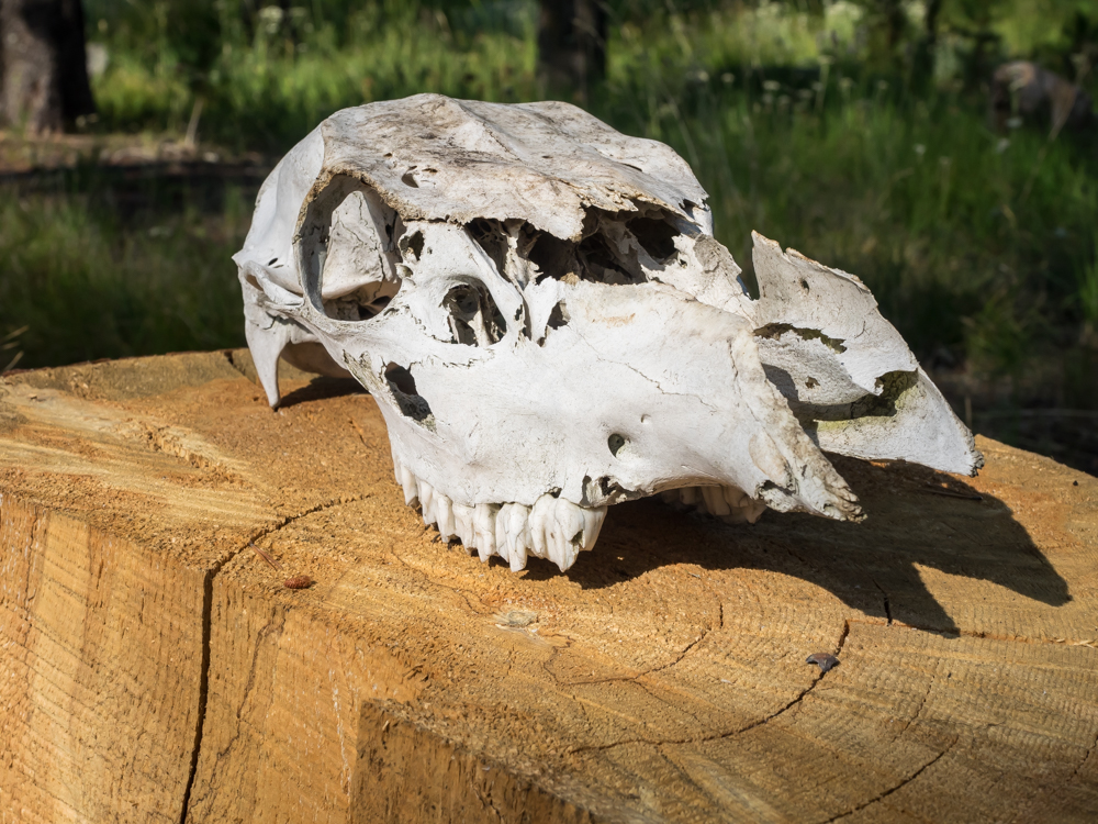
As we
were breaking camp in the morning, I spotted this skull sitting
on a stump. I think this is an elk skull.
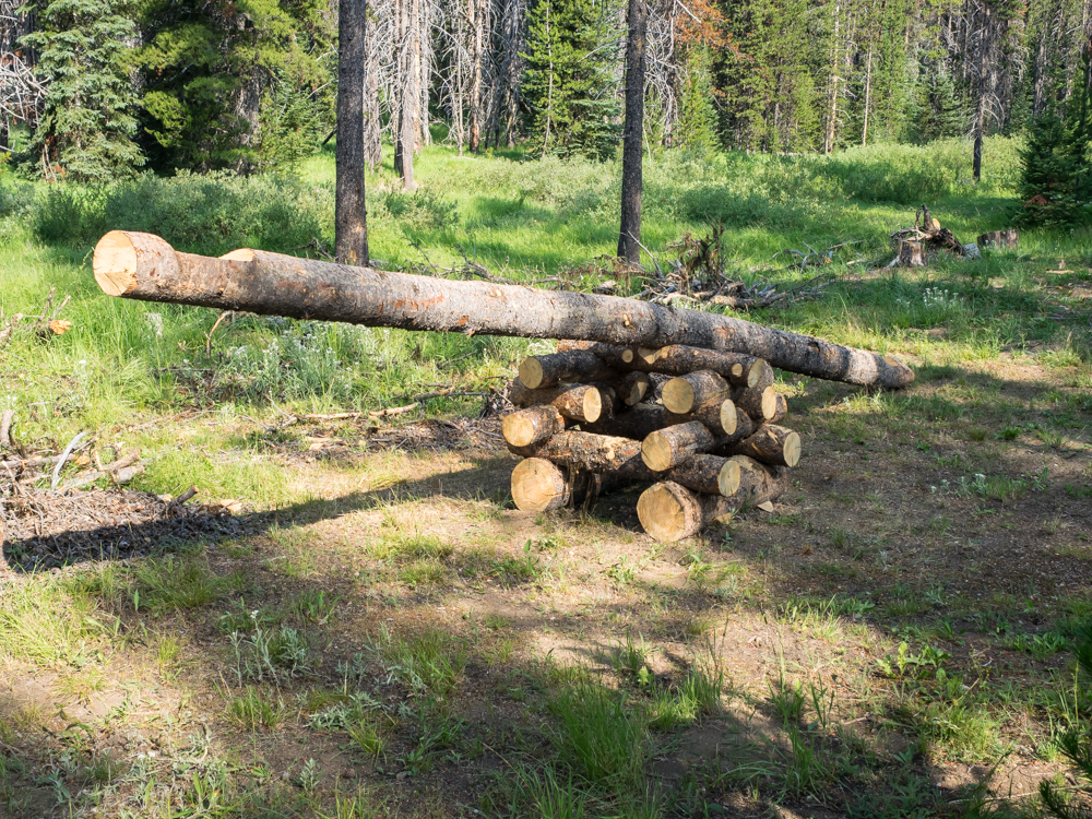
Near our
camp was this demonstration of what happens when you have a
chain saw and too much time on your hands. This is a
hillbilly see-saw.
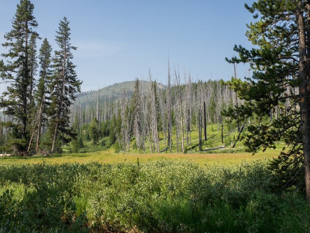
Our camp
was next to a nice little meadow with a small creek. On
the hills beyond we could see the effects of a recent fire and
the work of bark beetles.
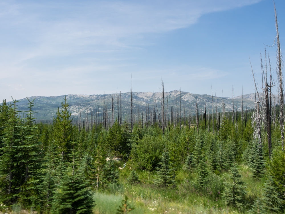
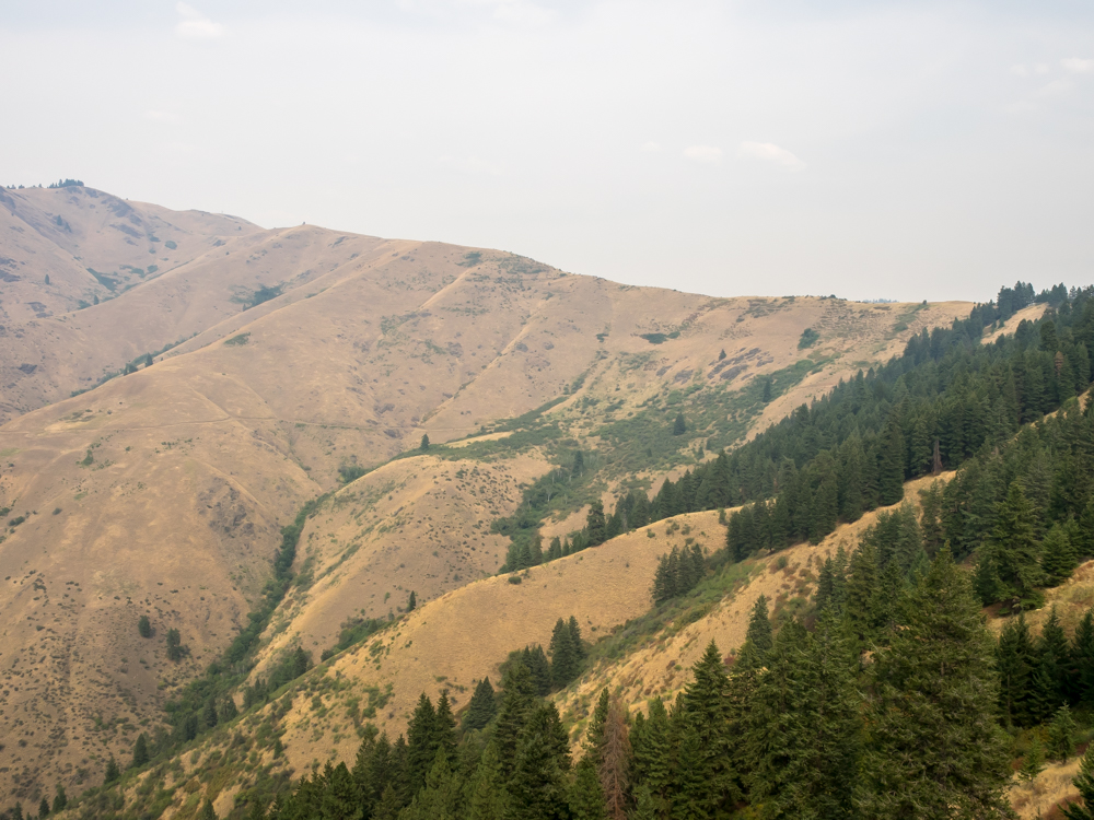
Further
south toward McCall the area showed the effects of a fire.
This area was re-seeding itself and recovering nicely.
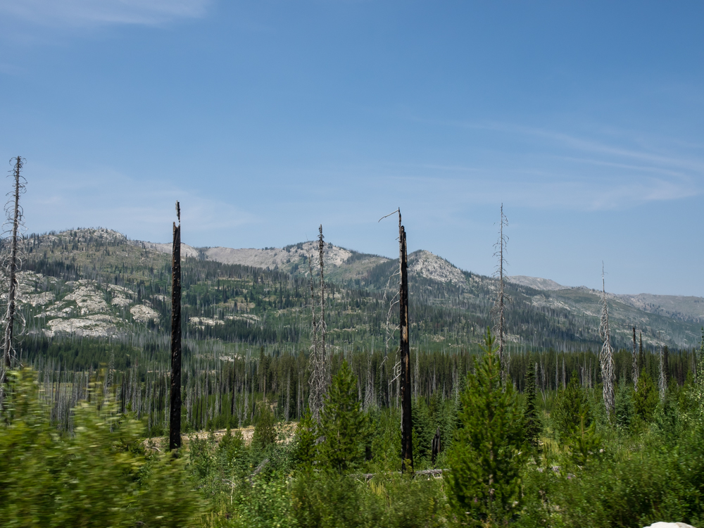
The
higher peaks north of McCall were comprised of large
outcroppings of exposed rock.
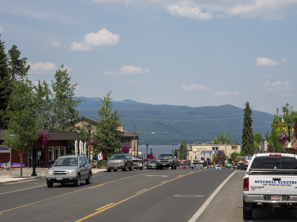
McCall,
ID is a tourist town next to Payette Lake. When we passed
the lake, there were plenty of boats and jet skis out playing.
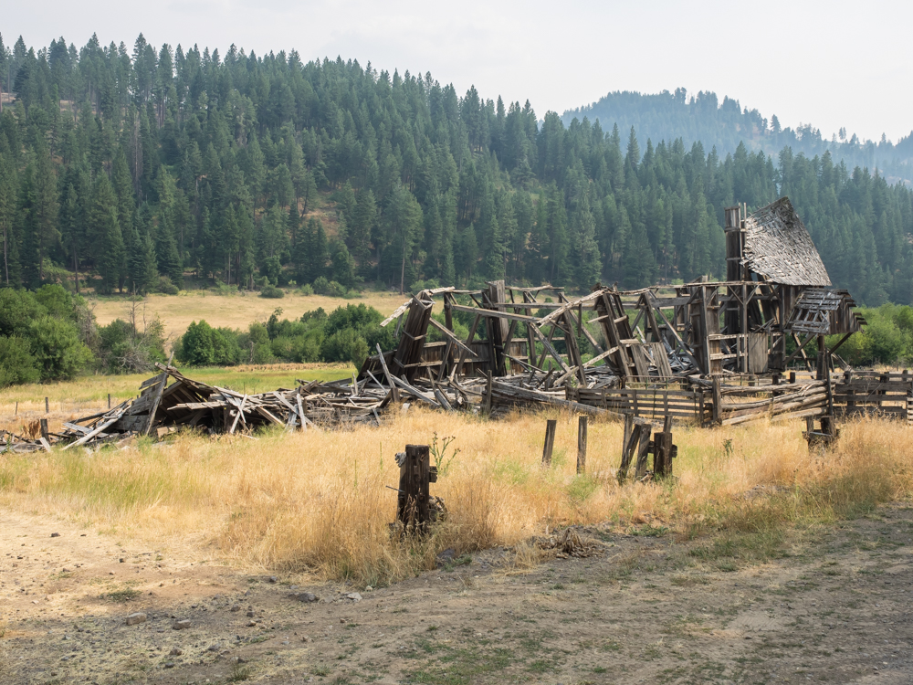
We
traveled on the highway from McCall to the Council area then
headed back into the mountains toward the OX-Seven Devils
Ranch. We came over the ridge to Cuprum, ID and then
continued west toward the Hells Canyon and the Snake
River. On the way we passed this decrepit structure which
used to be a large hay barn. Now it is just firewood.
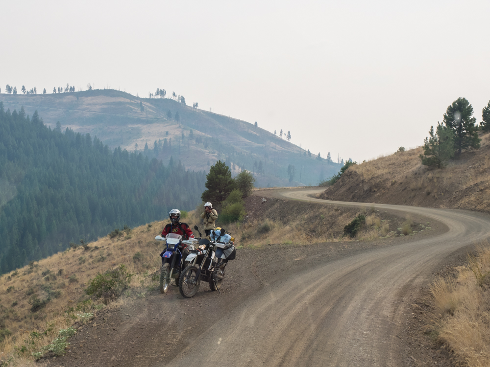
We were
flagged down by a biker who was lost. He was on an
expedition bike and was joining another 60 buddies at Black
Lake. We met many bikes on the narrow road including these
two who wanted a photo opportunity. They had come up the
Kleinschmidt Grade from Hells Canyon. The smoke from
nearby fires made visibility limited.
At the
crest of the Seven Devils Range, the terrain went from pine
trees to grassland. Our path would take us down the face
of the mountain.
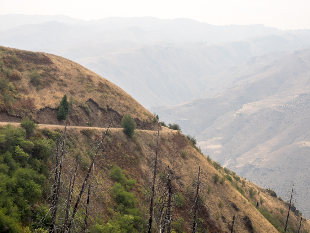
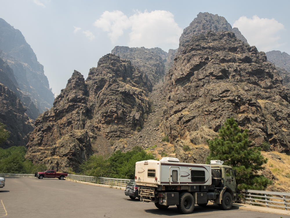
The
eastern slope of Hells Canyon was quite steep and so was the
road. Happily it was in pretty good shape and had periodic
turnouts. As we got deeper into the canyon, the smoke got
thicker.
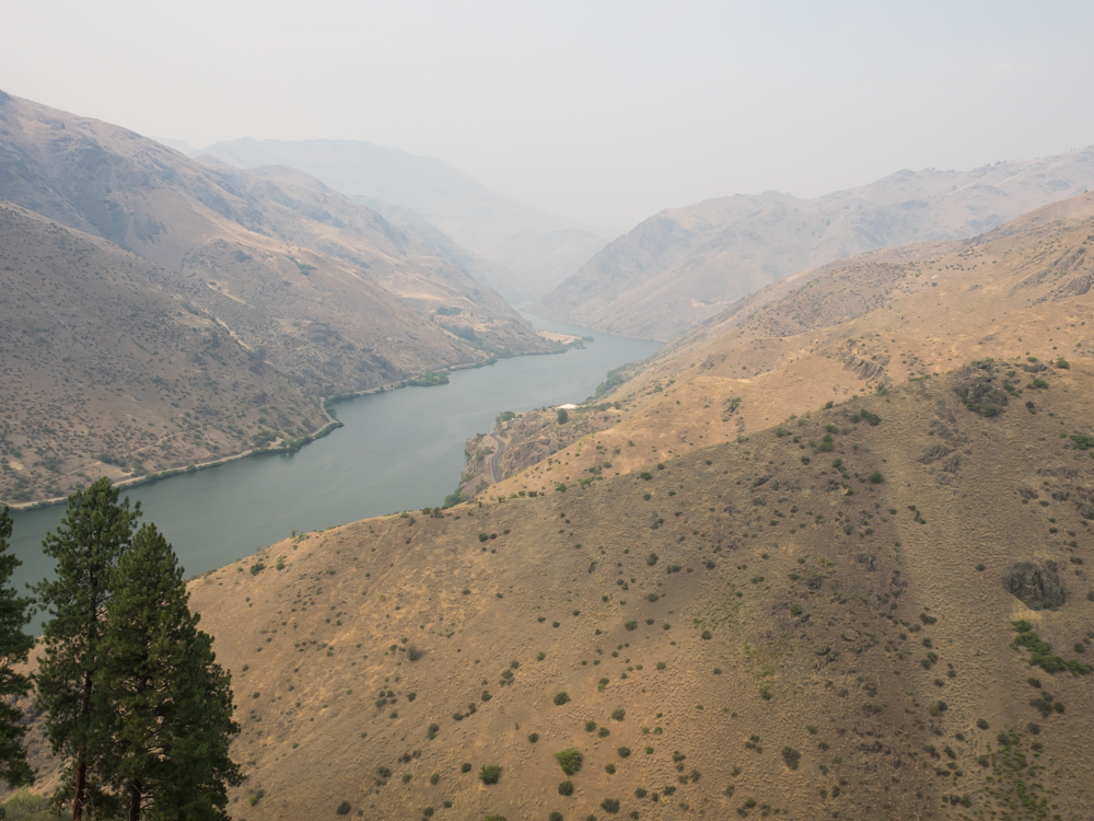
The
grade was slow going but eventually provided us with a
smoke-occluded view of the Snake River.
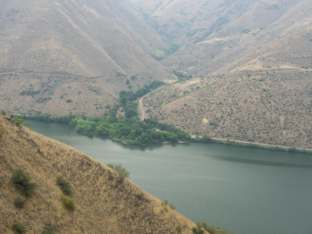
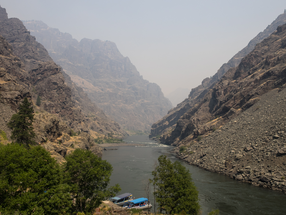
Many of
the side canyons were steep and resulted in debris fans that
reached the main river channel. These fans resulted in
"bars" that are used by river rafters as landing sites.
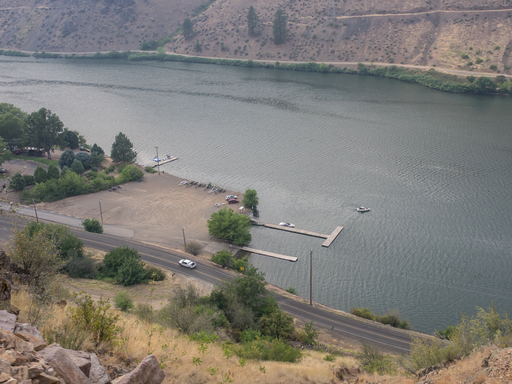
The bar
at the base of the Kleinschmidt Grade had been developed by
Idaho Power as a recreation site providing boat docks and camp
sites. We elected for a remote location so we headed north
toward the dam.
Big Bar
was a place that we had stayed before. This area was used
in the late 1800s as an orchard to provide fruit for the Seven
Devils mining district. The orchard was abandoned when the
dam was constructed and the reservoir was filled behind
it. The site was hot (we were only at 1800 feet altitude),
so we had aspirations of going for a swim. Those hopes
were dashed when we saw the huge bloom of algae in the
water. The water looked like green stew, complete with
chunks, so we passed on the swim. Because of the standing
water, the site was a bit buggy, but the camper helped save us
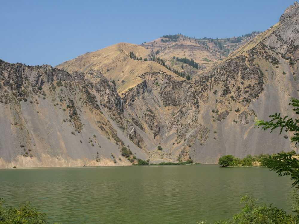
from being consumed. Next morning the smoke had cleared a
bit and allowed a view of the opposite side of the canyon.
The walls were tall and steep and the terrain proved a tough
obstacle for early travelers.
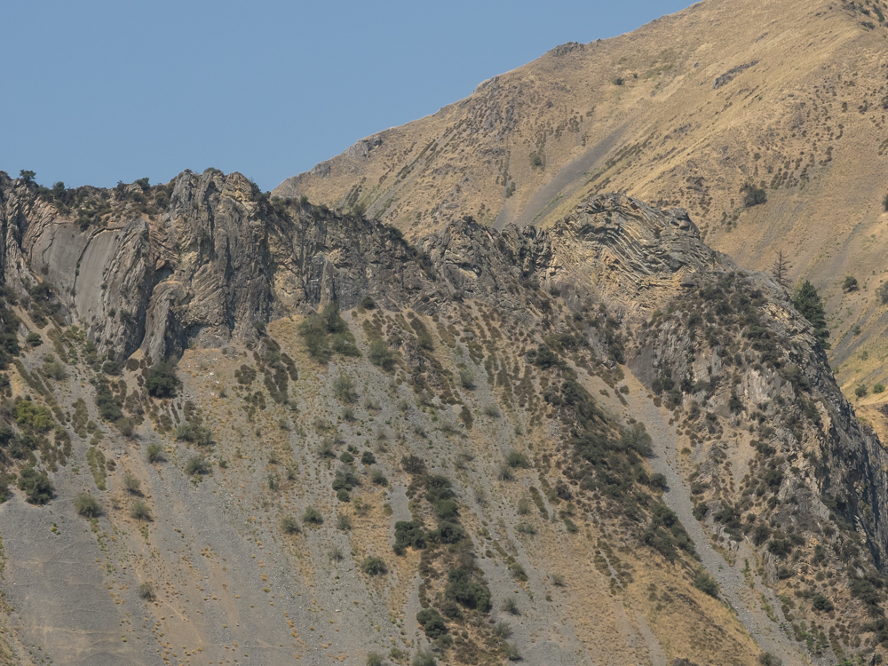
Across
the river from our camp the intense folding suffered during the
uplift was visible. Note the folds and twists in bedding.
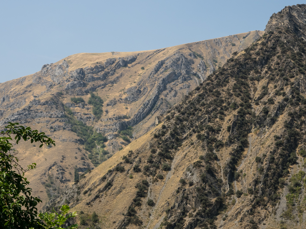
A bit
further to the north, more evidence of a tortured past.
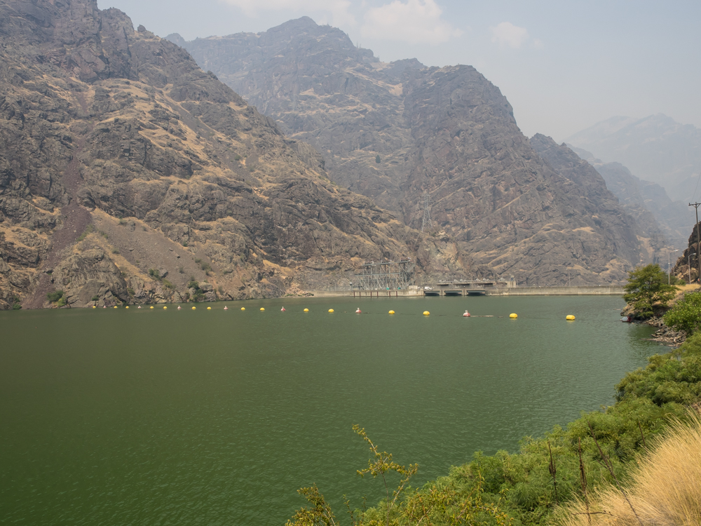
Our camp
was only 8 miles from the Hells Canyon Dam so we went to check
it out. The smoke got thicker as we went downstream.
Note the nice green color of the water.
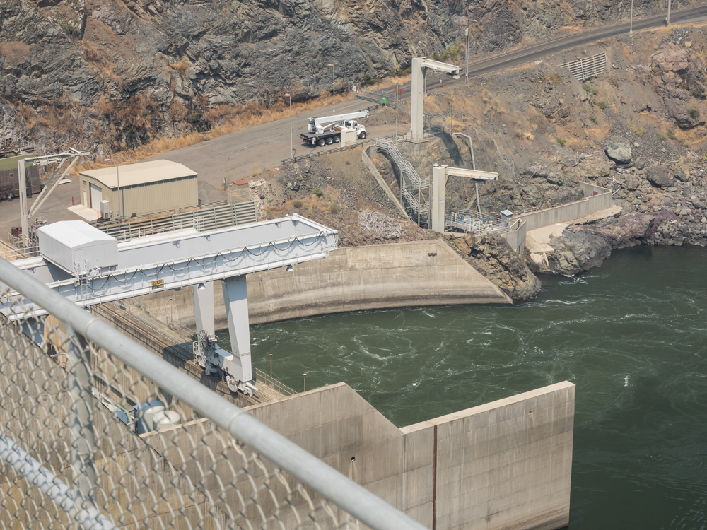
The road
went over the top of the dam and it allowed us to see some of
the infrastructure below. The photo above shows a portion
of the tail-race of the dam below the generators.
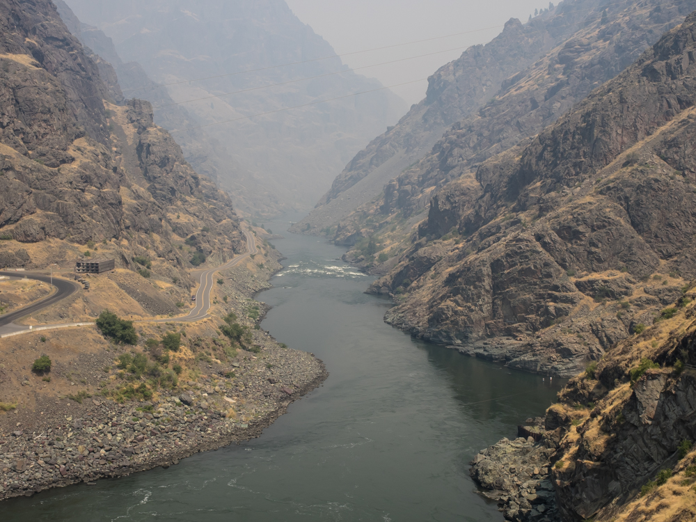
The top
of the dam provided an unobstructed view of the smokey canyon
downstream.
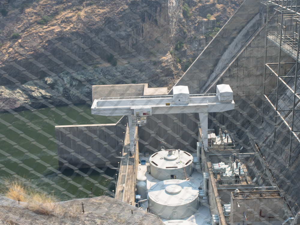
As we
cleared the far side of the dam, the generators became visible
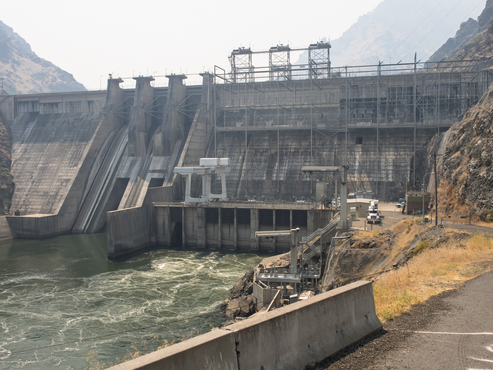
The
cranes on rails are there to service the generators. The
dam is an impressive structure, but not as tall as some of the
western dams like Hoover or Glen Canyon.
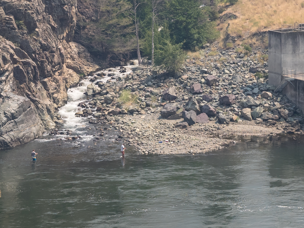
These
fishermen had taken the stairs from the top of the dam down to
the tail race to try their luck at the mouth of a side stream.
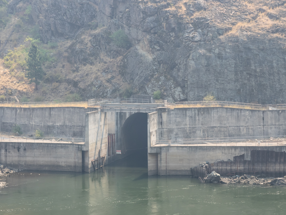
The
bypass for the dam was built in a tunnel through the cliff
walls.
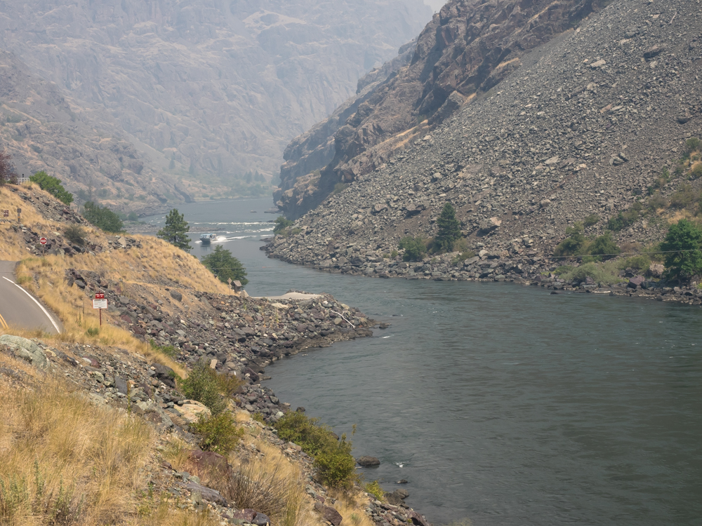
North of
us a tourist jet boat was returning from a run downriver.
Several
companies run jet boat tours. These tours travel downstream
through a number of rapids and then return to the starting
point.
There is
a small visitor's center at the mouth of Hells Canyon, so we
stopped to check it out. Even the small side canyons were
steep and challenging.
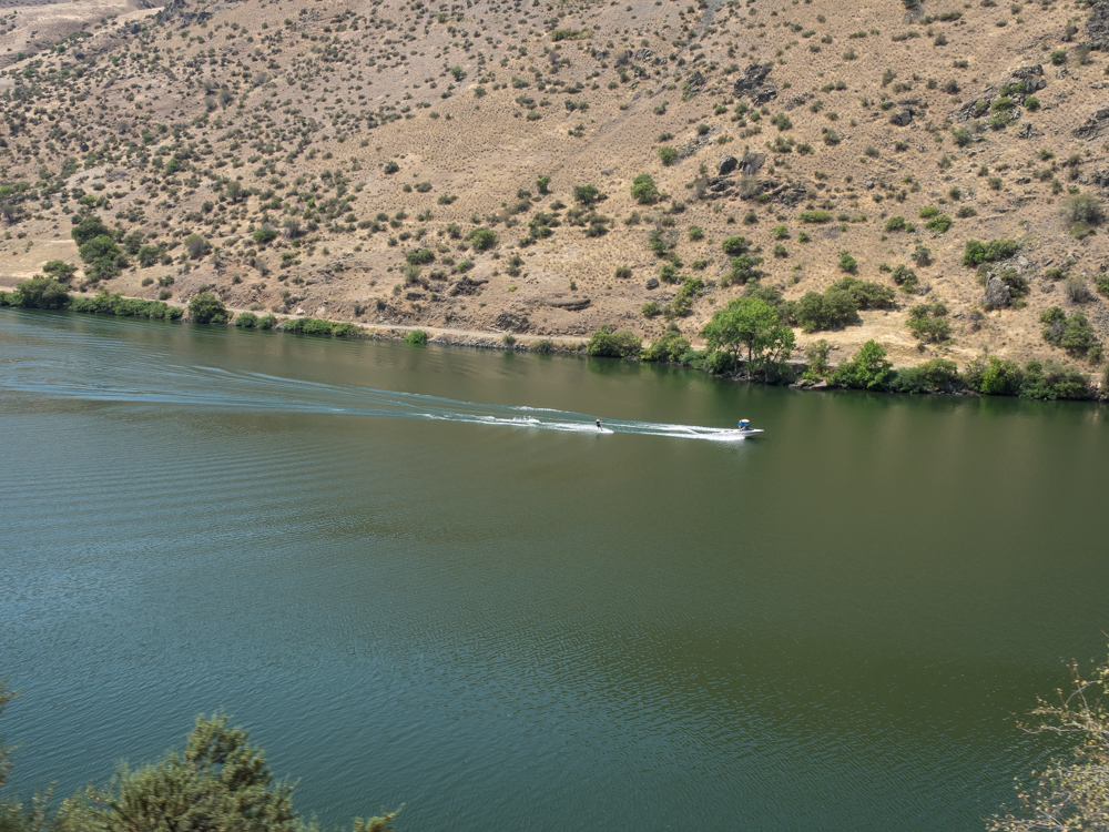
We
completed our visitor's center stop and headed upstream to Ox
Bow and saw these water skiers enjoying the algae-laden lake.
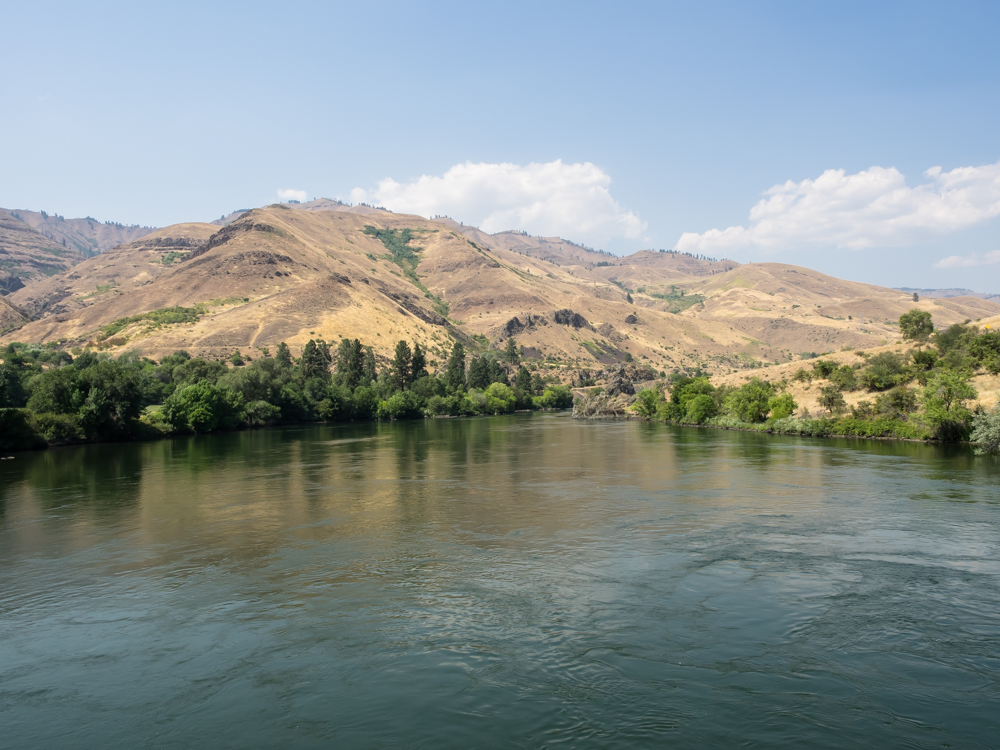
Ox Bow
was the junction with the main highway. The river widens
there and Idaho Power has a large campsite and RV area.
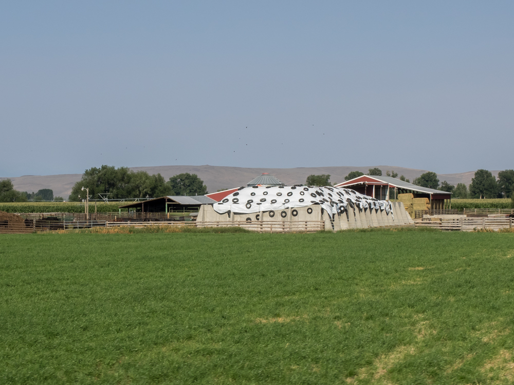
We
traveled west on the asphalt through Halfway and Baker City, OR.
Along the way we saw conclusive evidence that old tires never
die, they just become weights for silage pit tarps.
| Previous Adventure | ||
| Trip Home Page |
Photos and Text Copyright Bill Caid 2014, all rights
reserved.
For your enjoyment only, not for commercial use.