We
spent the night at a small, undeveloped Forest Service campsite
on Rock Creek. Next day, we headed north to Missoula, MT
for a supply stop and then south to Lolo Hot Springs for a drain/fill
and shower. From Lolo, we headed back onto the dirt over
the rugged mountains to Cayuse Creek. From Cayuse, we
continued on back roads to Washington creek on the Clearwater
River. From Washington, we headed west to Elk River, ID.
The photos below are what we saw.
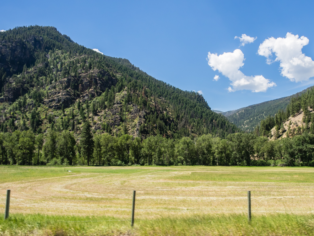
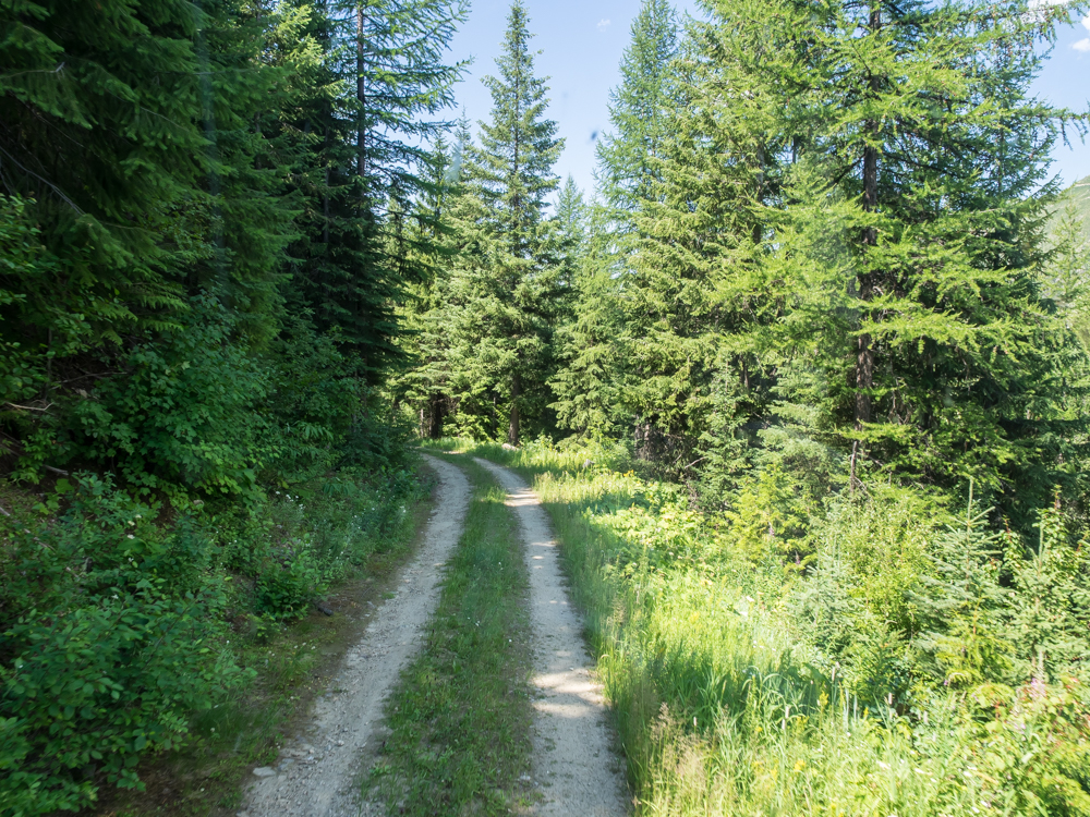
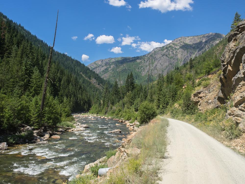
Rock
Creek Canyon has some nice hay fields but is flanked on both
sides by steep ridges. The canyon is about 40 miles long.
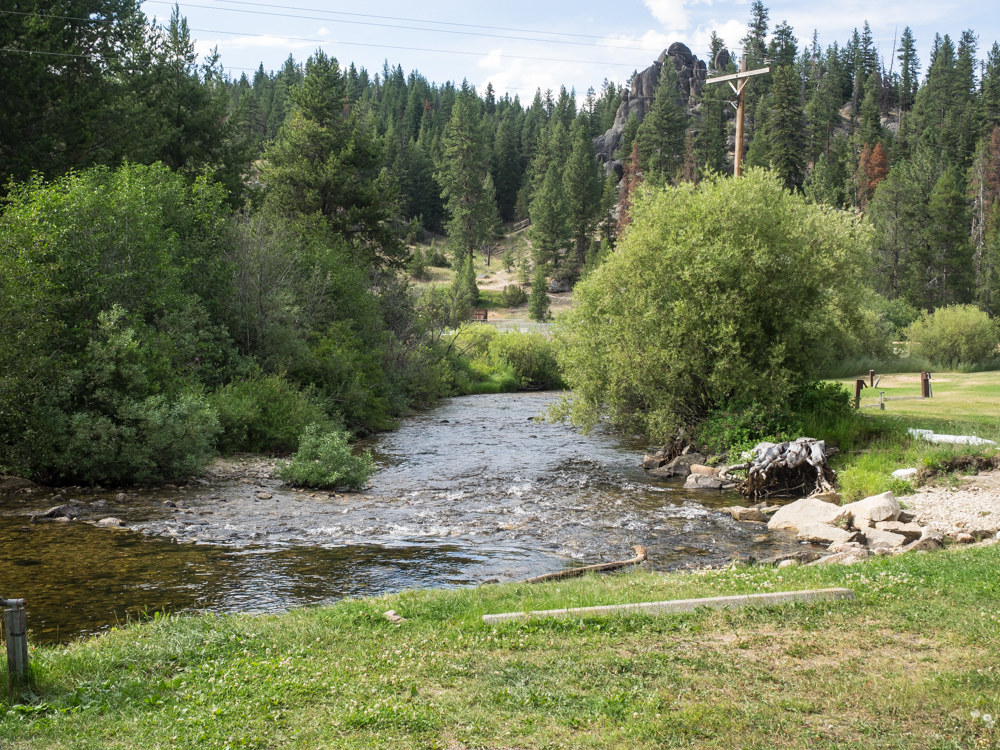
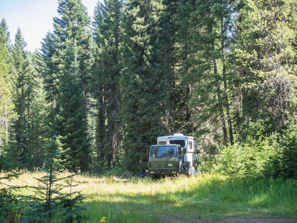
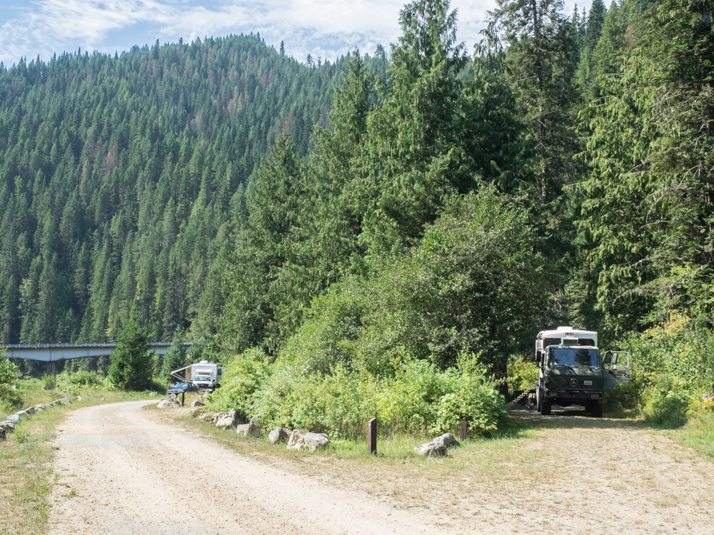
We went
to Missoula, MT for a resupply and then headed to Lolo Hot
Springs to an RV park for a tank refresh and showers. Our
camp was right next to the creek and provided pleasing sounds
all night.
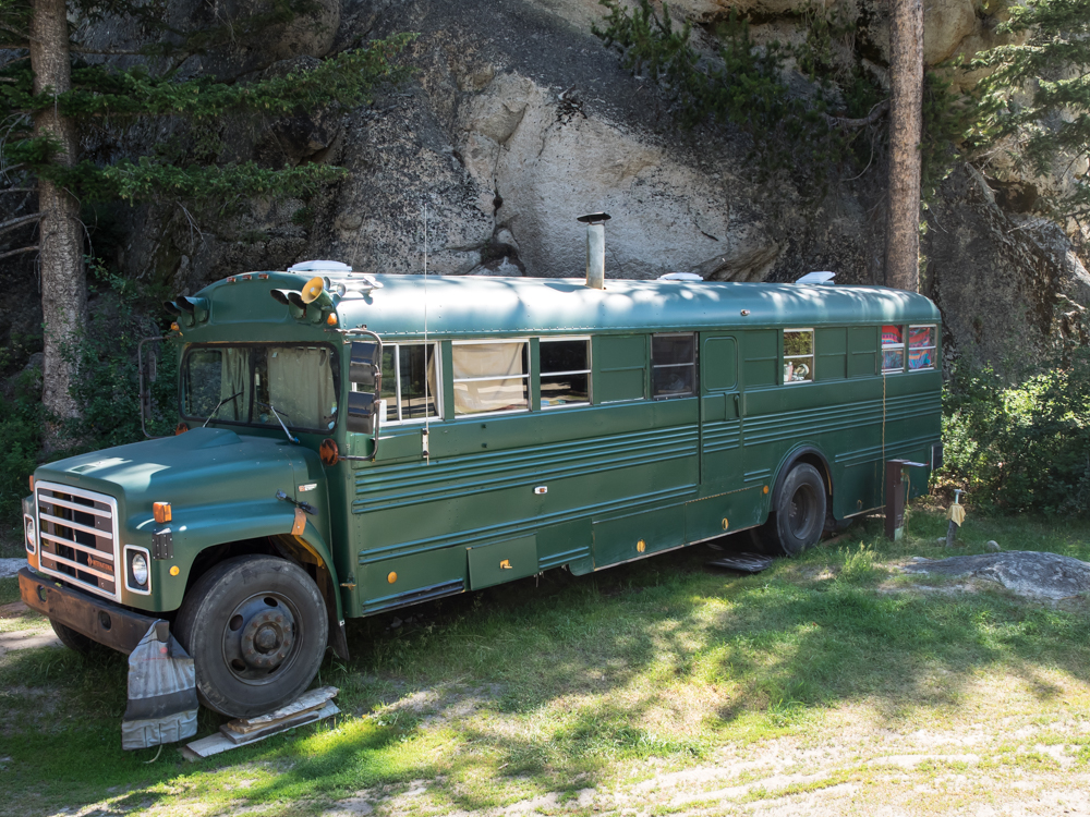
As we
were leaving the next morning, we got proof that old school buses
never die, they just become reborn as hillbilly campers.
Note the stack for the wood stove.

The bus
was pulling a trailer with this odd contraption on it.
After some reflection, I decided that it is a brick oven for
pizzas or baking bread native style (a "horno" in Spanish).
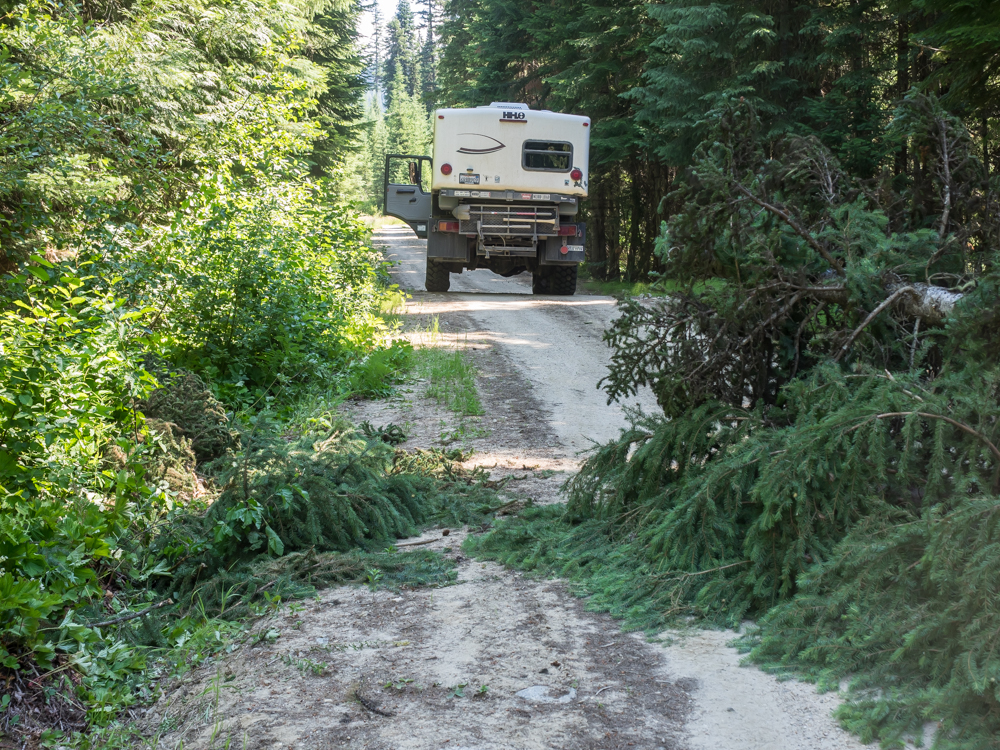
Our
chosen path from Lolo was over Lolo Pass, then to the north on
the dirt over the rugged mountains. Not too far into the
trail we discovered that forest travel has some
disadvantages. We did not have a chain saw, but did have
several bow saws "just in case". Somebody with a chain saw
beat us to the punch, but our time was coming.
The
trail got progressively more narrow and we were wondering if we
were lost. It turned out that we were on a branch of the
main trail and it eventually met up with a wider (but not
better) path.
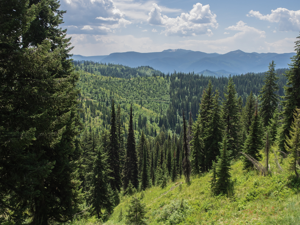
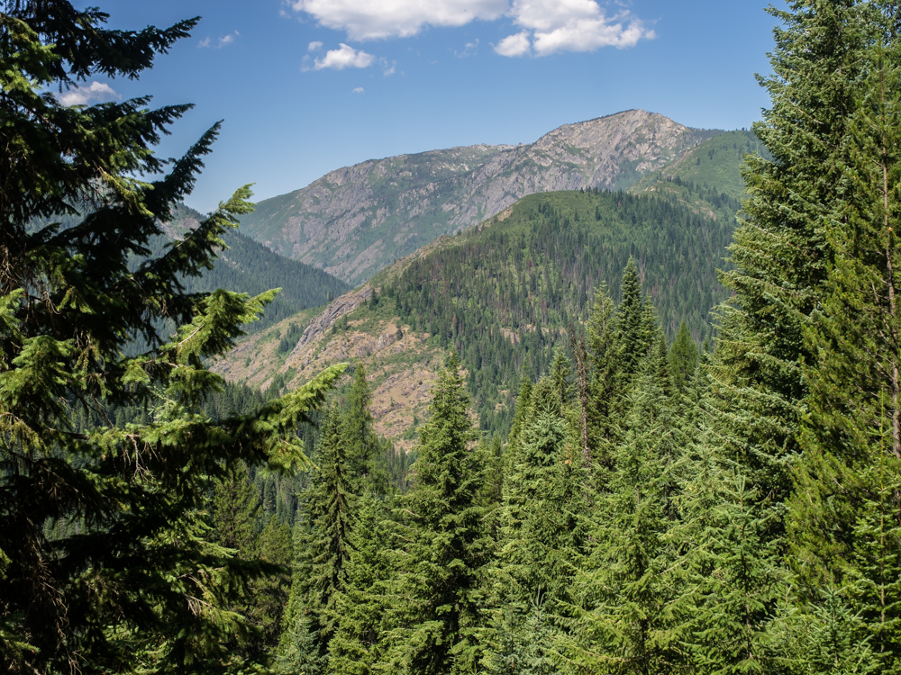
We
skirted steep canyon walls for miles until we finally hit a
saddle that allowed us to see to the south. Note the snow
on the distant peaks.
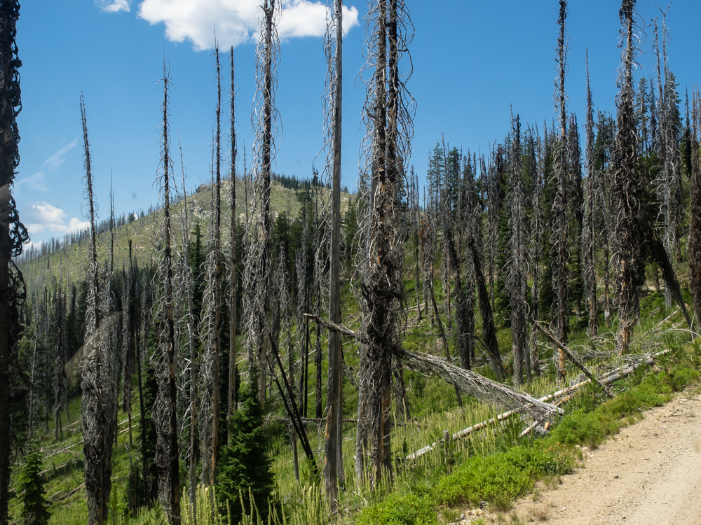
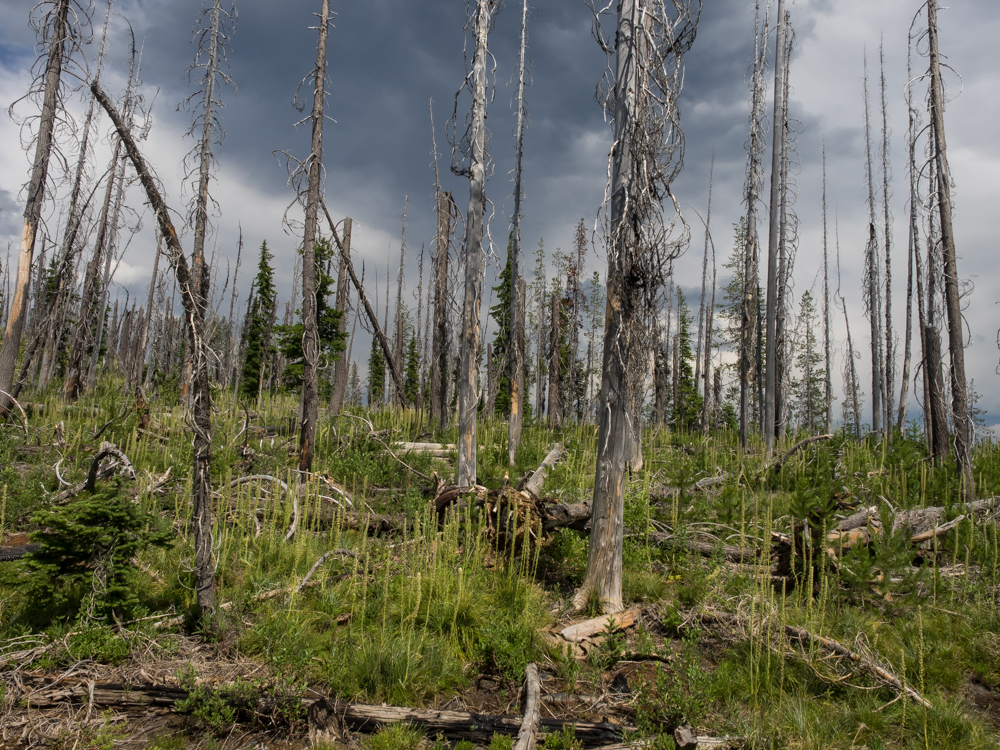
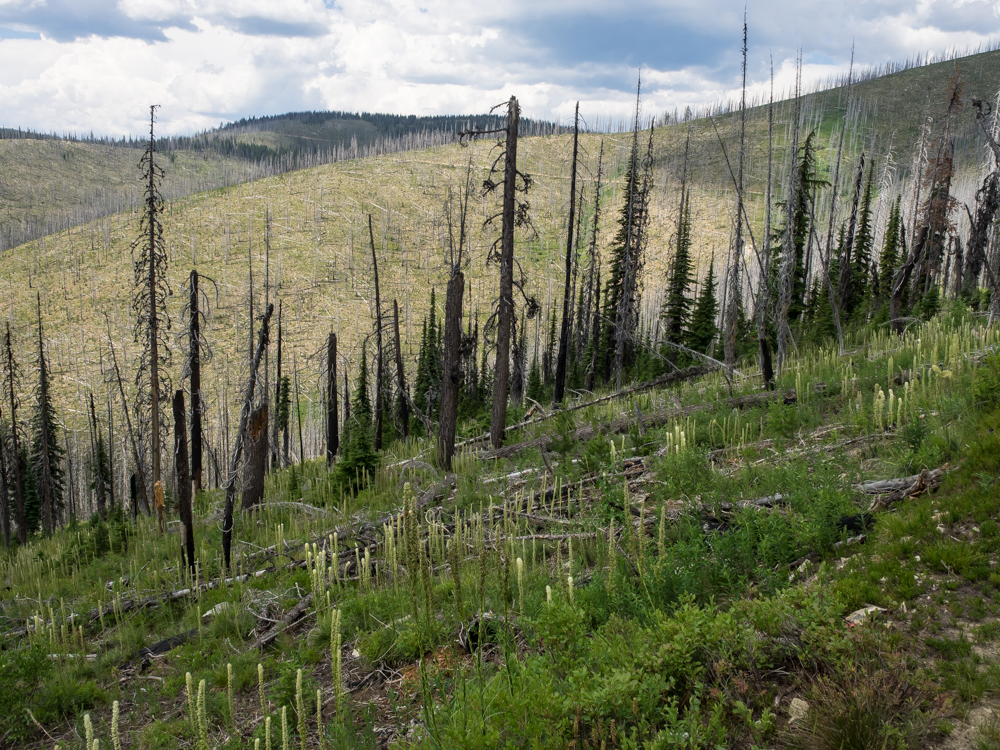
The area
we traveled was rife with beetle kill. The dead trees
provided many hazards, the least of which is fire danger.
Some of
the upper areas had already burned, but there was still plenty
of fuel left.
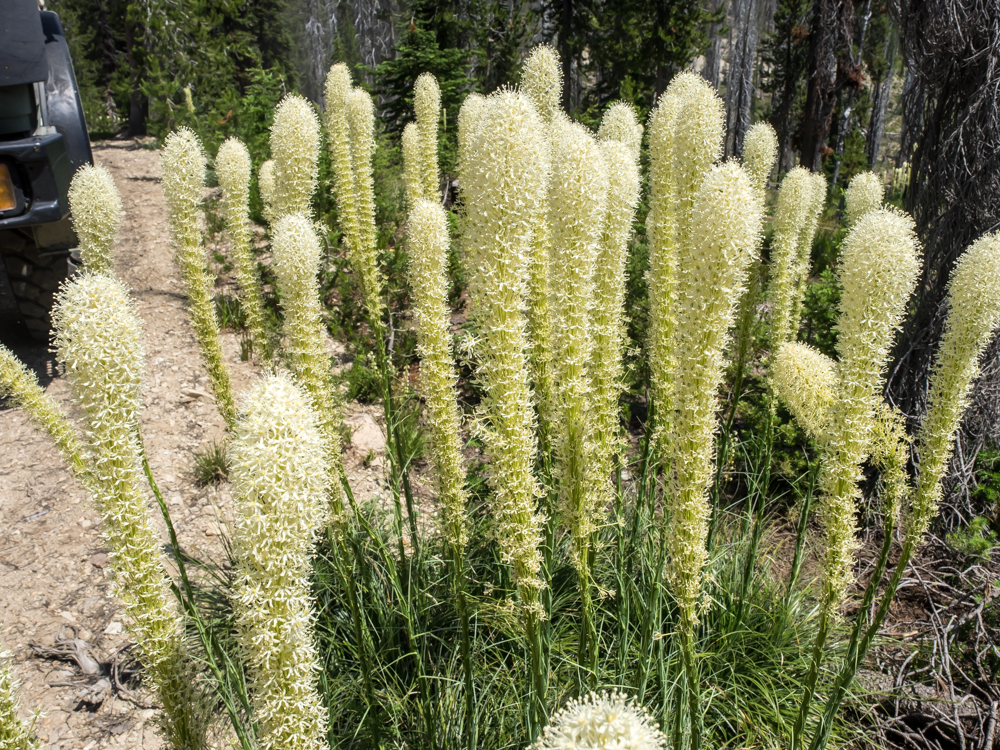
We
passed these interesting flowers, or weeds as the case may be.
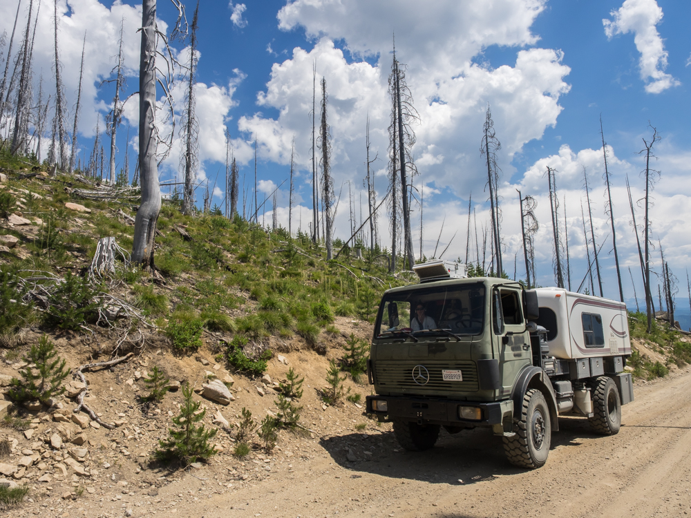
This
obstacle was worse than it looked because there is a substantial
drop-off on the driver's side of the truck. We fit, but
scuffed the tires on both sides on the way through.
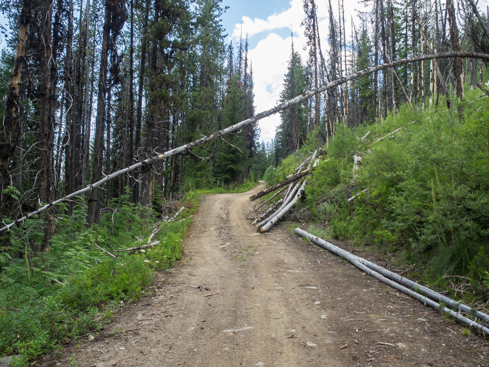
This
obstacle was a deal-killer. The tree was too big to break,
to low to pass underneath and could only be dealt with using a
saw. I climbed up the slope just past the right edge of
the photo above and cut the base of the tree. With
Kathleen pulling on it, it finally broke and we moved it to the
side of the road. We cleared the other dead-fall trees
with inches to spare.
Higher
on the ridge most of the trees were dead due to the bark
beetles.
This
section got the double-whammy: beetles and fire.
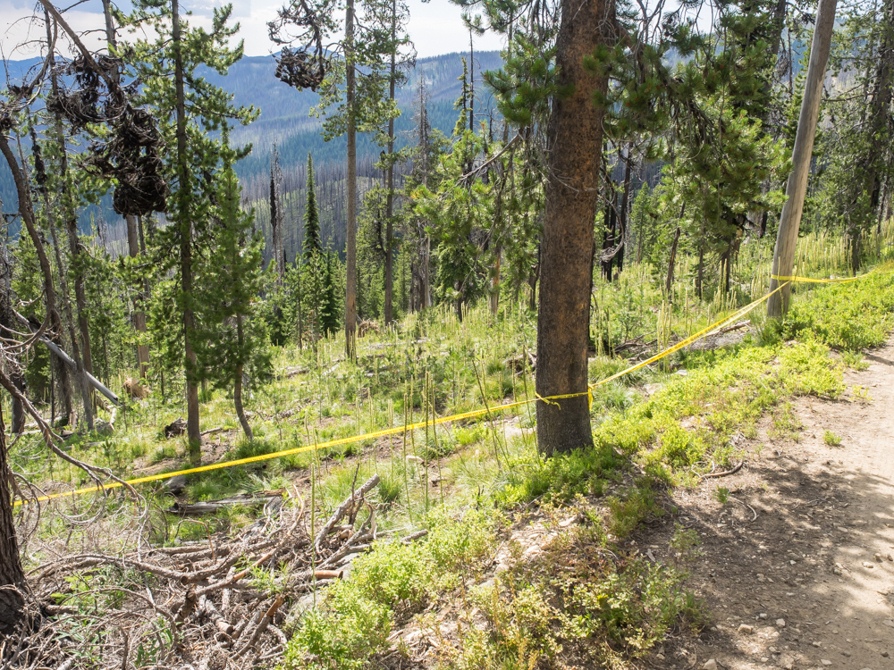
We
traveled for several hours and saw not a single vehicle.
Then, at a turn-out on the trail, we came upon a tent and a
motorcycle. The fellow heard Thor and came to greet
us. When he saw the truck, he said "Are you here for the
plane crash?". Of course, my response was "what plane
crash?". It seem that an ultra-light pilot crashed just a
few miles further down the road from this fellow and died as a
result. FAA, Sheriff and coroner had already been here and
left tape around the "crime scene". There was still debris
present, but not easily photographed from the road. We
noted the position in our GPS and went happily on our way
thinking that the "authorities" would have insured that the path
in was clear of debris and obstructions. Wrong. The
trail past the crash site was just as obstructed as the path in
so it was slow going all the way. Some of the dead-fall we
"dozed" out of the way, some we crushed with the tires and
others we cut.
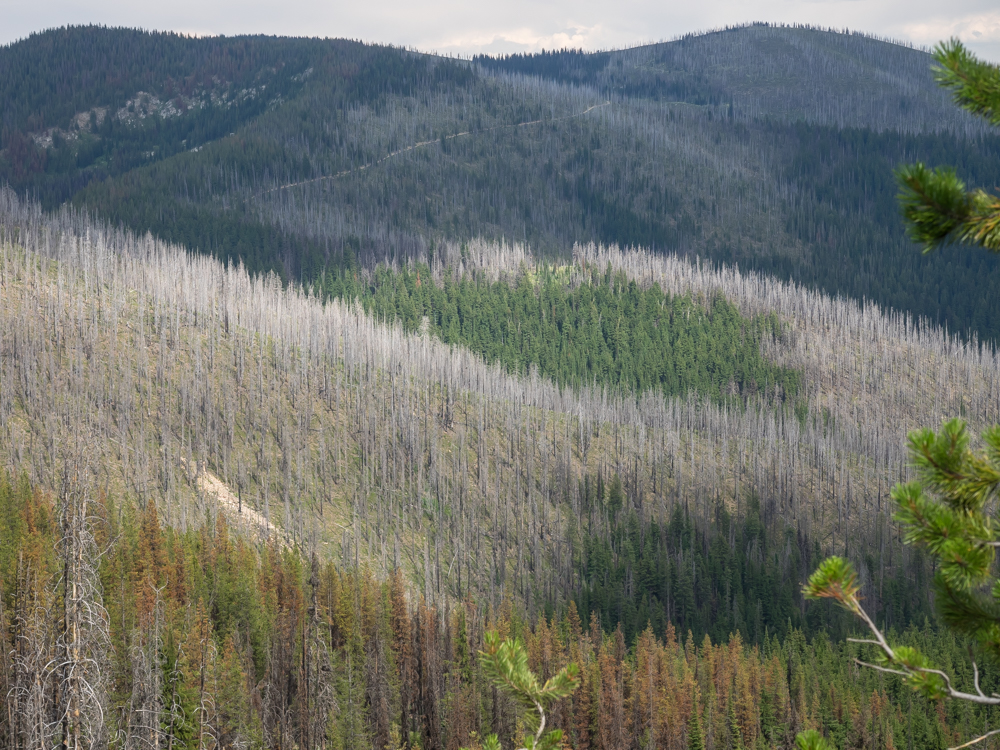
Several
miles past the crash site, we could look back at the
terrain. The scope of the beetle kill is obvious.
Our trail is also visible in the photo above.
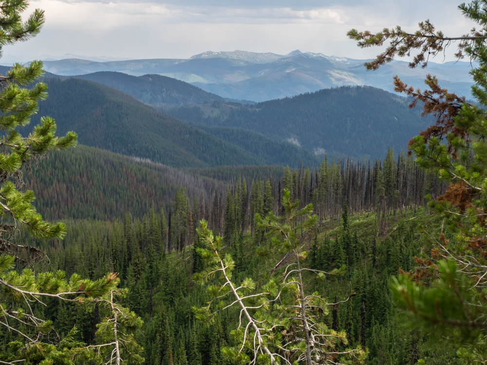
Finally,
from a high ridge we got a clear view to the south. This
area is remote and rugged.
We
rolled on for several more hours down narrow, debris choked
trails until we hit Cayuse Creek. I was shot, so we took
the first open area that we found and set up the BBQ for a
steak.
Next
morning we crossed Cayuse Creek and headed northwest.
The
trail was steep, narrow and still had debris that had not been
cleared. From a steep portion of the trail a break in the
trees allowed us to see the rugged mountains on our path.
We went
over ridge after ridge before descending into Kelly Creek.
Kelly was a welcome sight because the maps indicated that the
trail would turn into a dirt road (hopefully without debris).
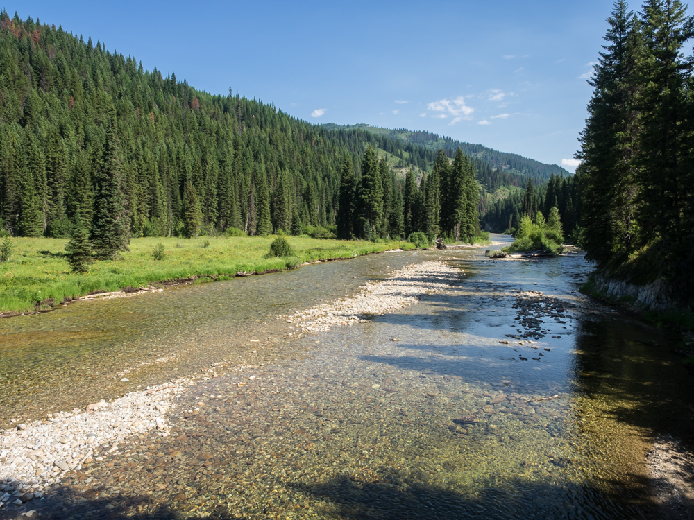
We followed
Kelly Creek until we hit the confluence with the North Fork of
the Clearwater River. We followed the North Fork through
the steep canyons.
Near
sundown we came to Washington Creek campground on the Clearwater
River so we elected to stay. The camp was sparsely
occupied so we had plenty of space (and quiet). The
"facilities" at Washington Creek were clean and were a welcome
change.
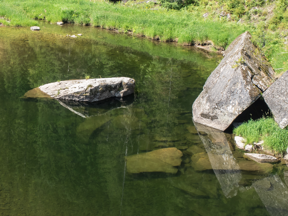
Next
morning, we continued downstream on the Clearwater River.
Calm pools at the river's edge provided interesting reflections
of the rocks and trees.
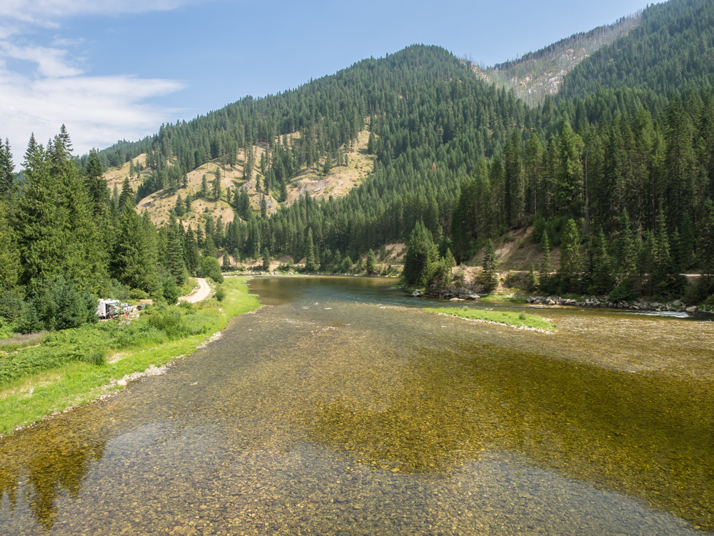
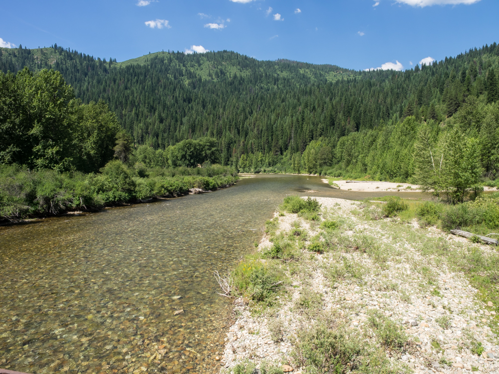
Crossing
the bridge at Washington Creek, the width of the North Fork becomes
apparent.
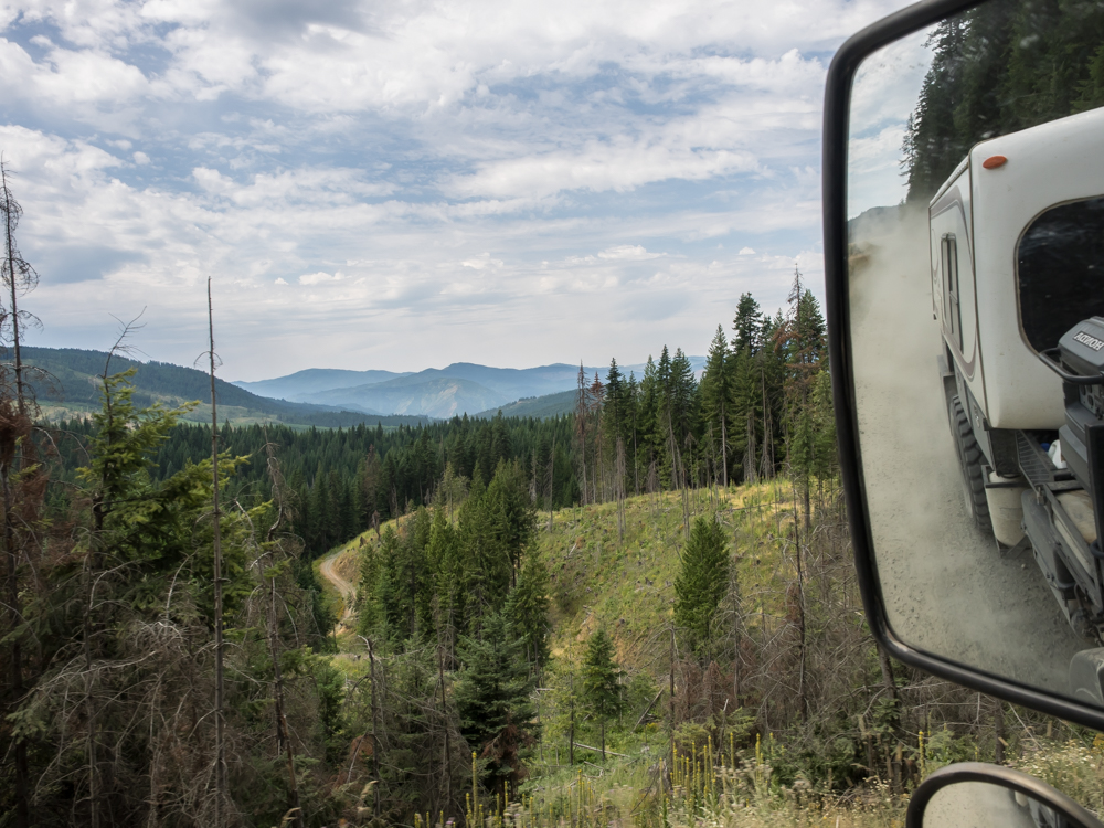
We turned
south toward Headquarters, ID and then west back into the
mountains. The road was narrow, steep and had tight turns,
but no debris. But, as a bonus we got thick clouds of
trail dust from the silty soil.
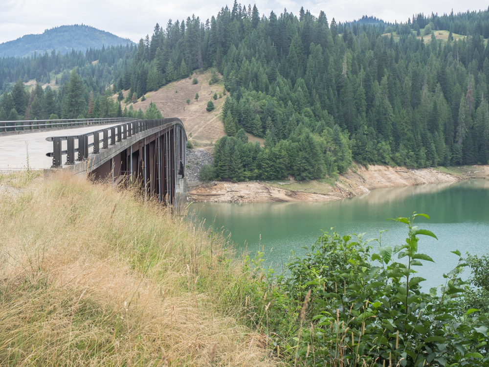
We
traveled all morning on narrow, twisty roads until we reached
Grandad Bridge over Dworshak Reservoir on the Clearwater
River. This is a substantial bridge and apart from a boat
is the only way to cross the reservoir other than Dent Bridge at
the southern end of the lake.
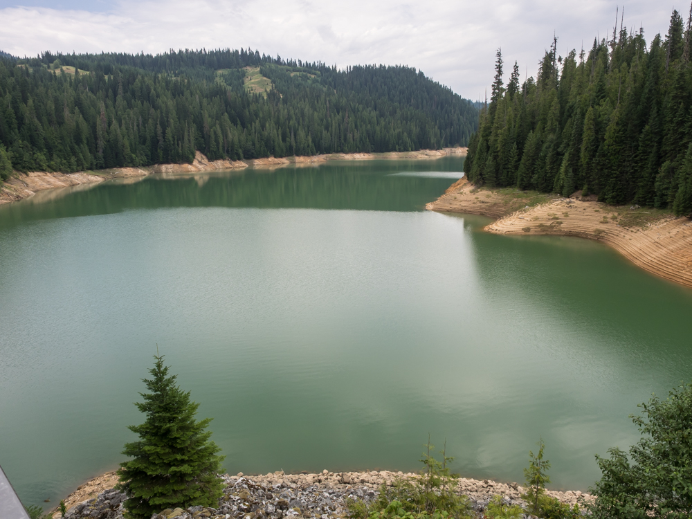
The reservoir
was below full pool exposing the shoreline. I used to work
on a fire crew in this area in the early seventies and clearing
the reservoir basin of trees before the initial filling was a
major effort.
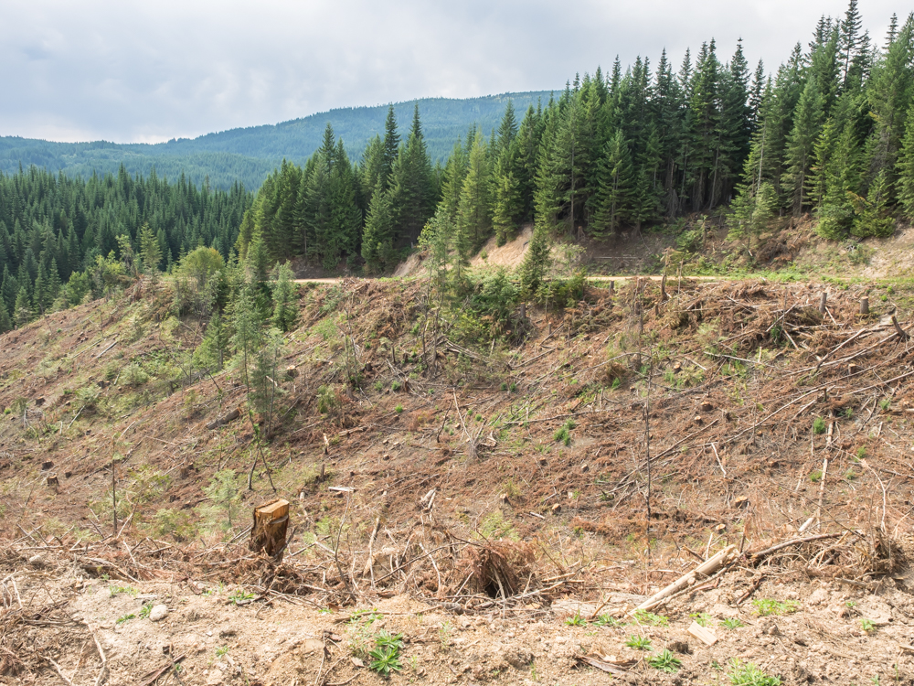
We took
the trail from Grandad over the mountains to Elk River. We
got "positionally confused" more than once, but eventually
back-tracked our way to the correct trail over Diamond Match
Hill and success. On the down-slope into Elk River, ID we
passed many "clear-cut" areas where the loggers had cut
everything down. The leftovers, the so-called "slash" is
left to be burned after the first snow.
| Previous Adventure | ||
| Trip Home Page |
Photos and Text Copyright Bill Caid 2014, all rights
reserved.
For your enjoyment only, not for commercial use.