We
spent the night in Devil's Canyon campground north of
Blanding. The weather moved in and it rained on us, but
not for long and not that hard. But, when we awoke the
following morning the rain had produced snow at the higher
peaks.
The photos below are what we saw.
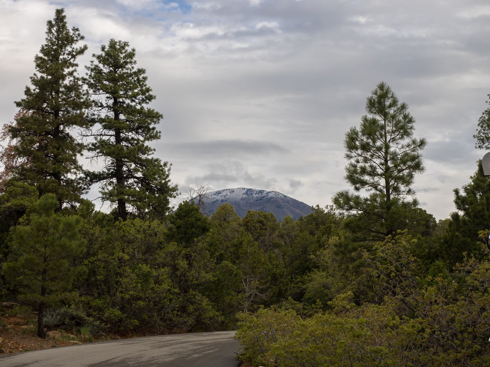
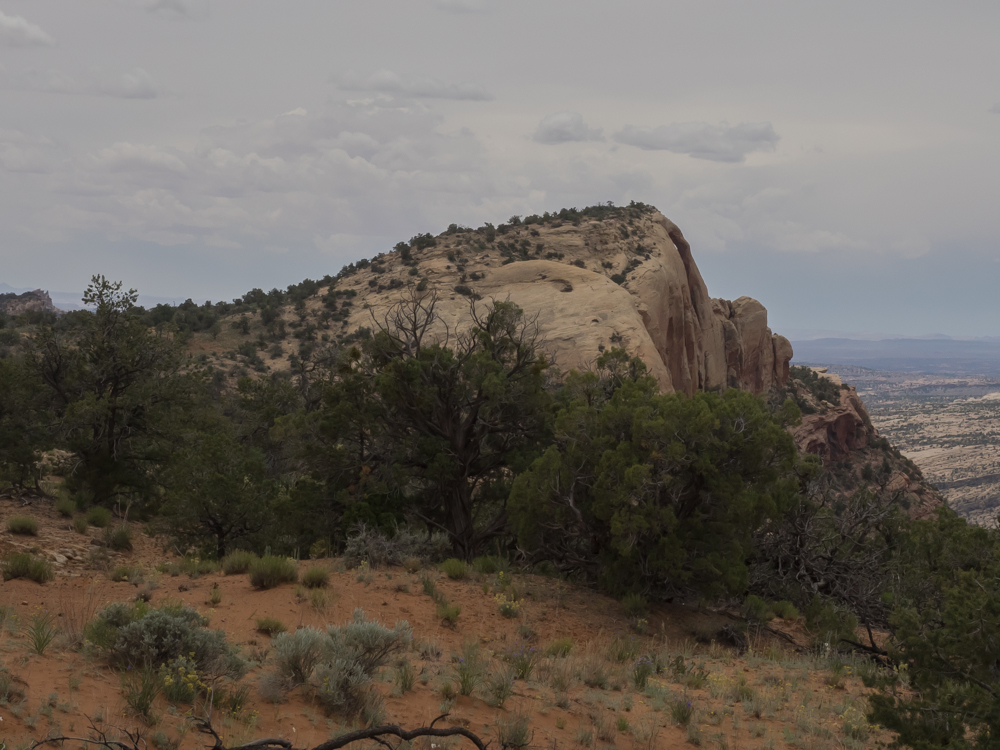
One of
the peaks of the Abajo Range was visible through the
trees. The weather had left the mountain tops dusted with
snow.
The
group broke camp and headed into Blanding for fuel and
supplies. Then we assembled at the diesel station to meet
our guide Bill Burke.
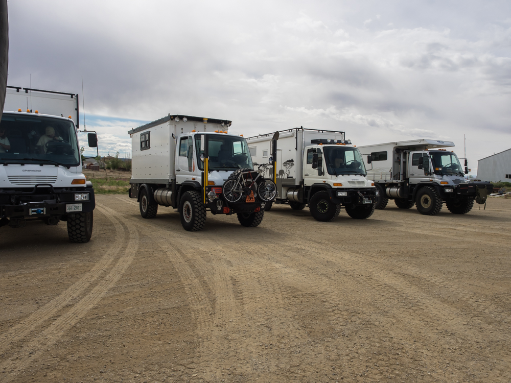
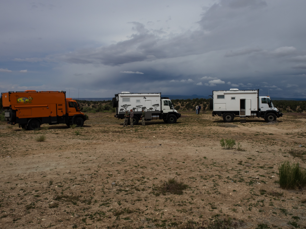
The
rolling stock (L to R): Mark and Gail; Vince, Tony and Andy;
Chris and Ann.
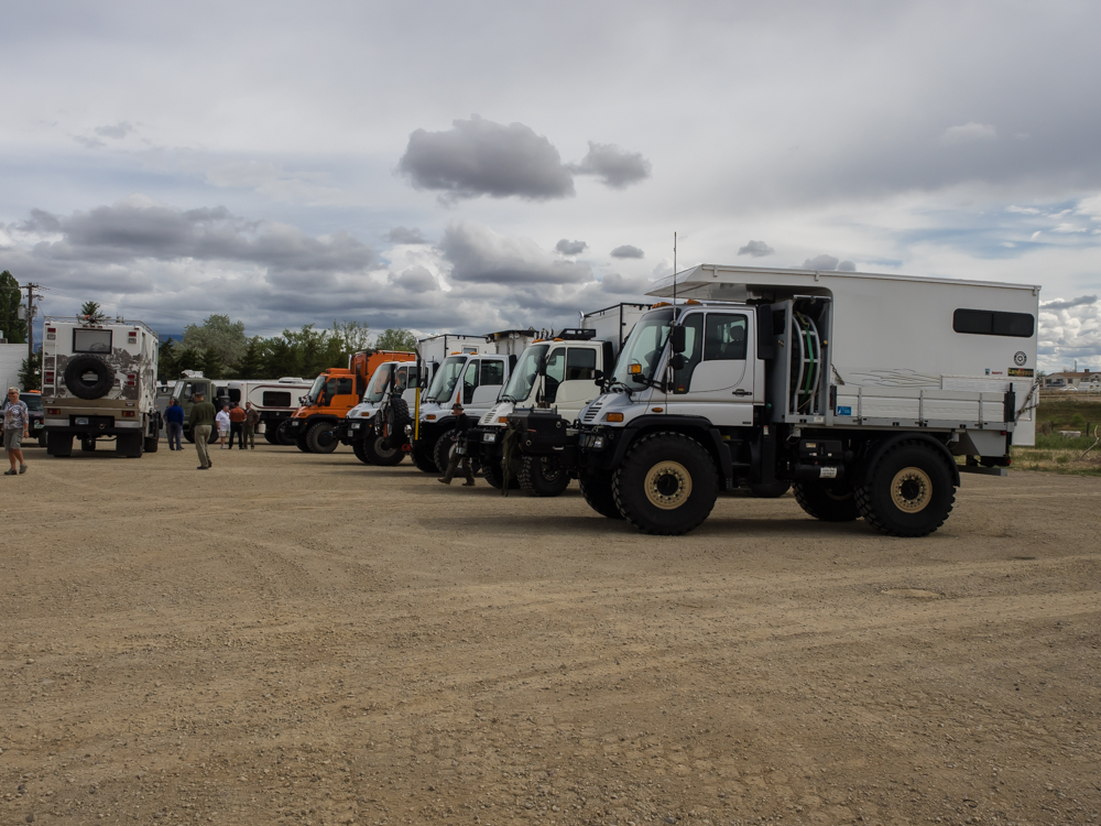
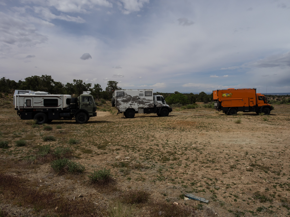
These
trucks are huge and getting all of them in the same photo is a
challenge. L to R: John; Bill and Kathleen; Brad and
Oksana; Mark and Gail; Vince; Tony and Andy; Chris and Ann.
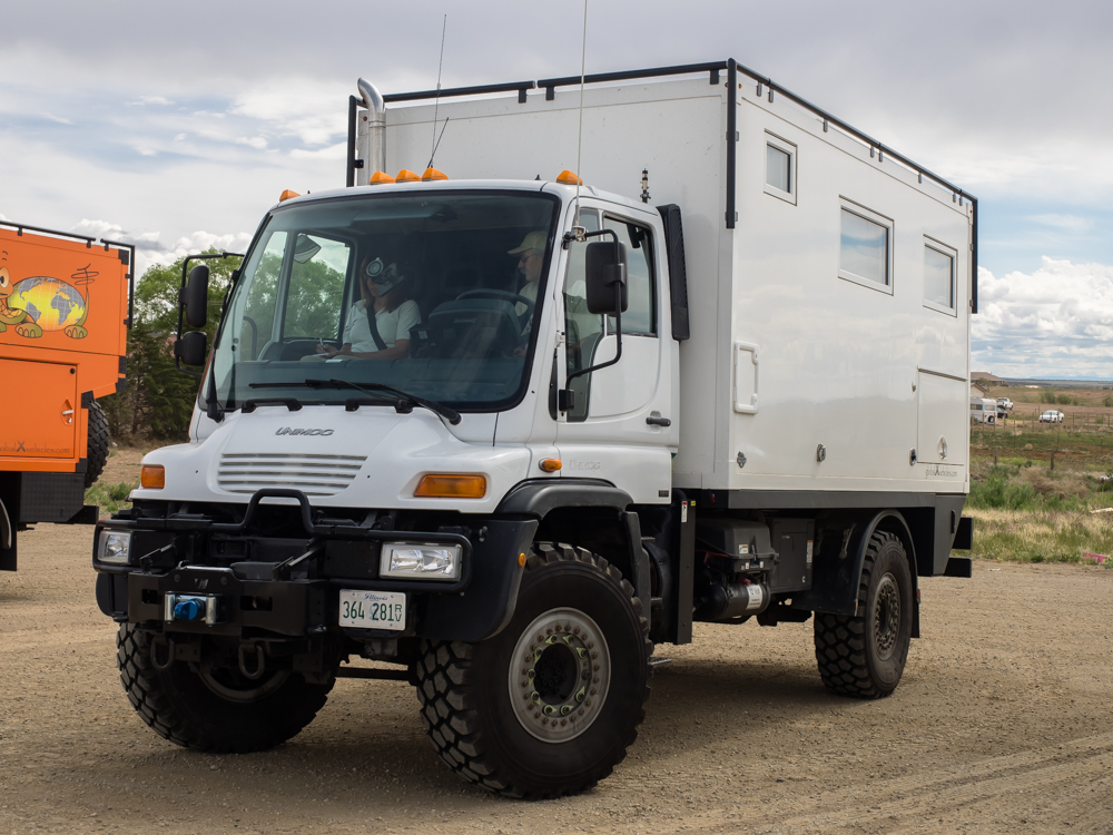
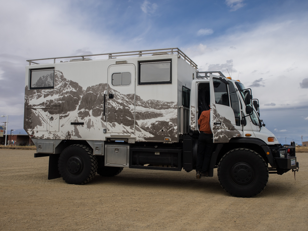
Chris
and Ann's U500.
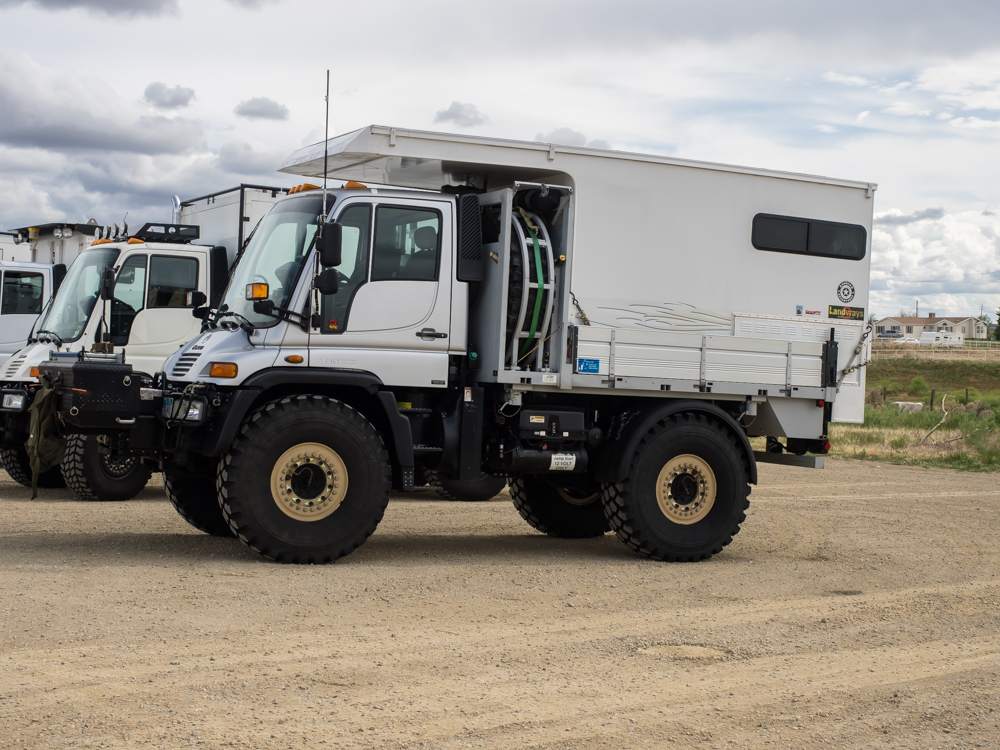
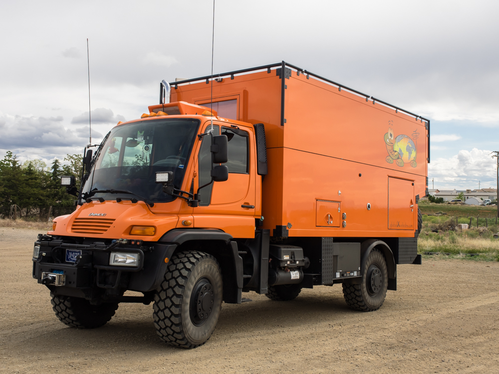
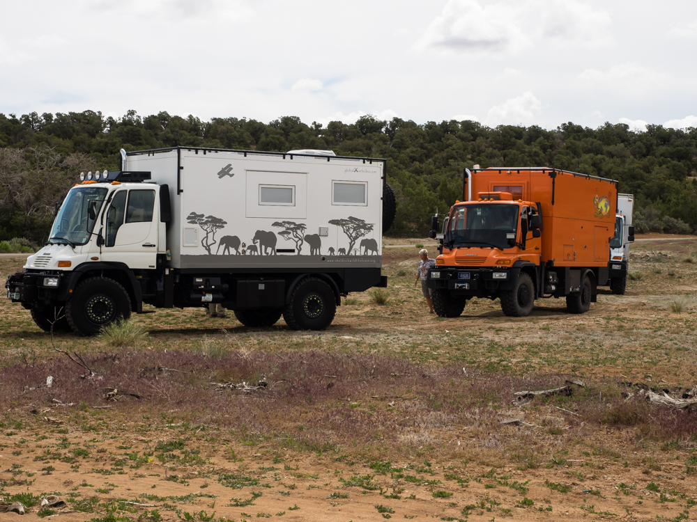
Tony and
Andy's U500 GVX camper.
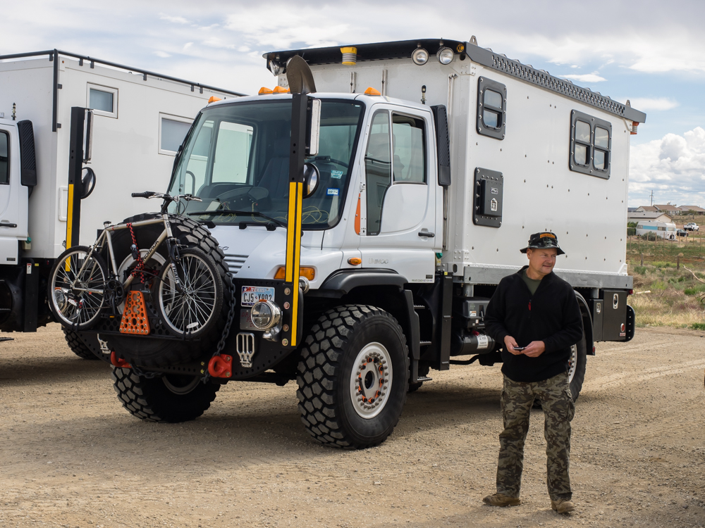
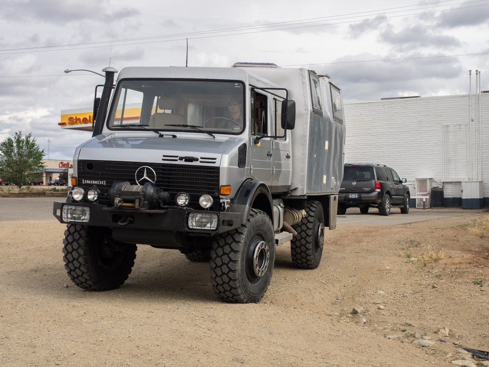
Andy
standing next to Vince's U500.
Mark and
Gail's GVX camper.
Brad and
Oksana's tri-level GVX camper. They live in this rig full
time.
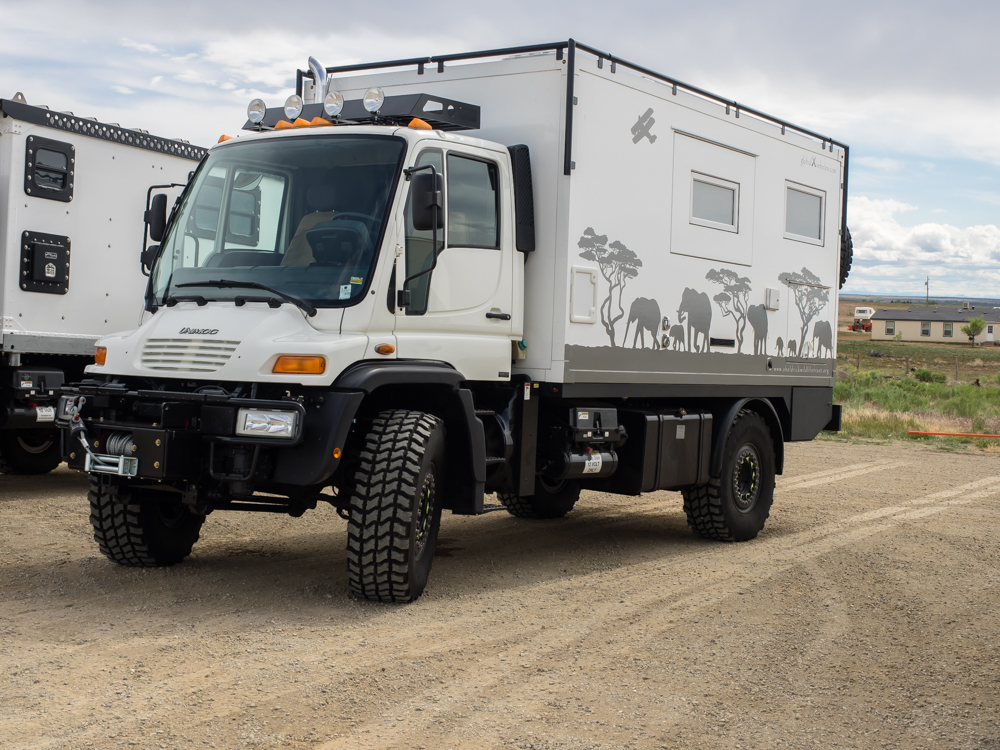
John's
U500 GVX rig.
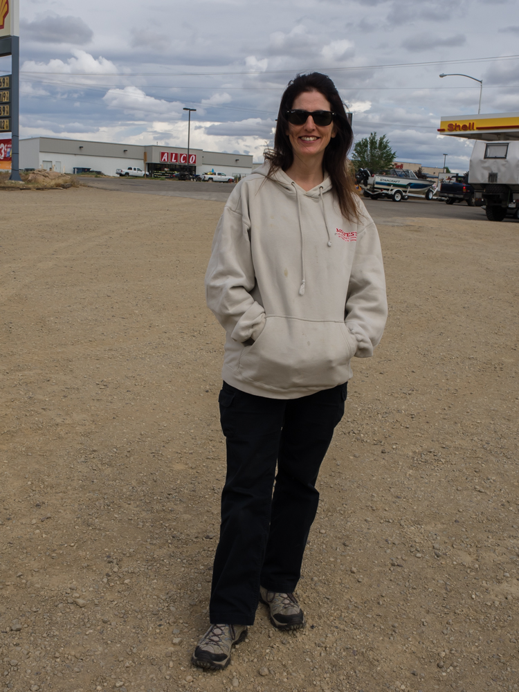
Kathleen,
our trail mistress for the day.
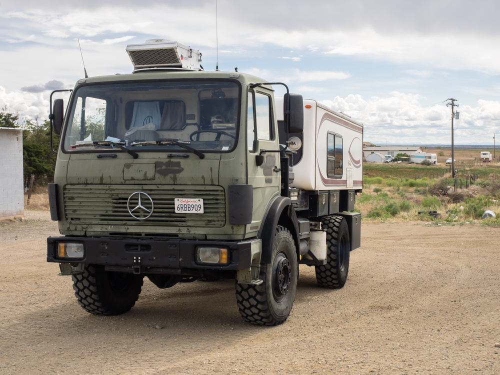
Rob's
2450L home-brew camper. This is a highly capable
setup. Missing from this set of photos is our 1017A
home-brew camper.
We
headed through Blanding and then to the northwest to our
air-down point.
The sky
was cloudy and later in the day this would provide us with a
muddy campsite. Our 1017A/HiLo combination is on the left.
Due to
the wide range of weights, each rig set its own tire
pressure. The orange rig was the heaviest at 31,000
pounds. As a point of reference, our 1017 rig, Thor, is
20,000 pounds "wet" (fully loaded). We set our tire
pressure at 30 psi for the trail.
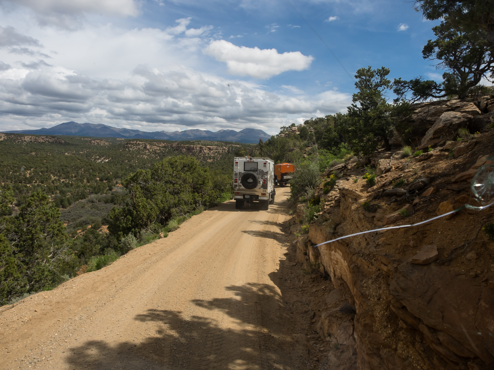
From the
trail head, we rolled out into the neighboring canyons.
Note the crack in Thor's windshield; the windshield will get
replaced later on this trip at Rob Pickering's shop in La
Junta, CO.
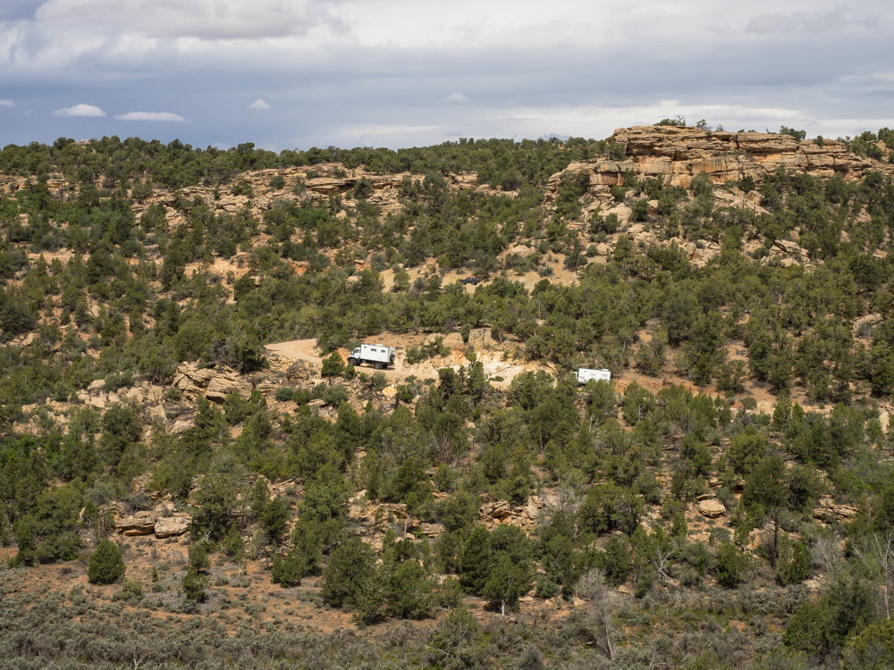
Across
the canyon we could see the other rigs.
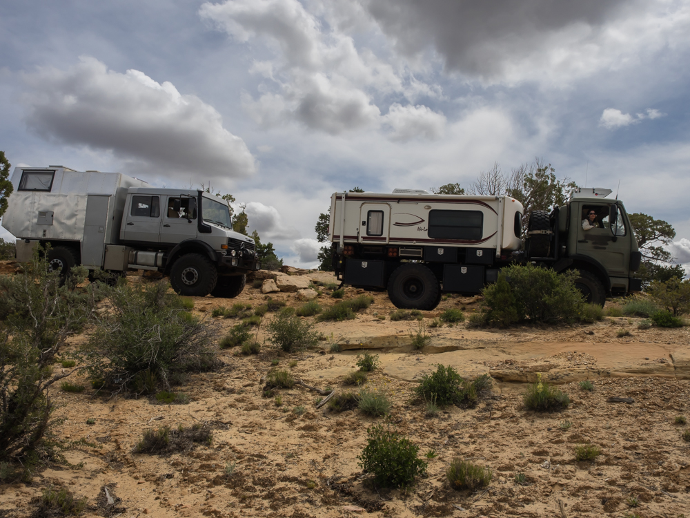
At a
trail stop I got a shot of Rob's 2450 and Thor.
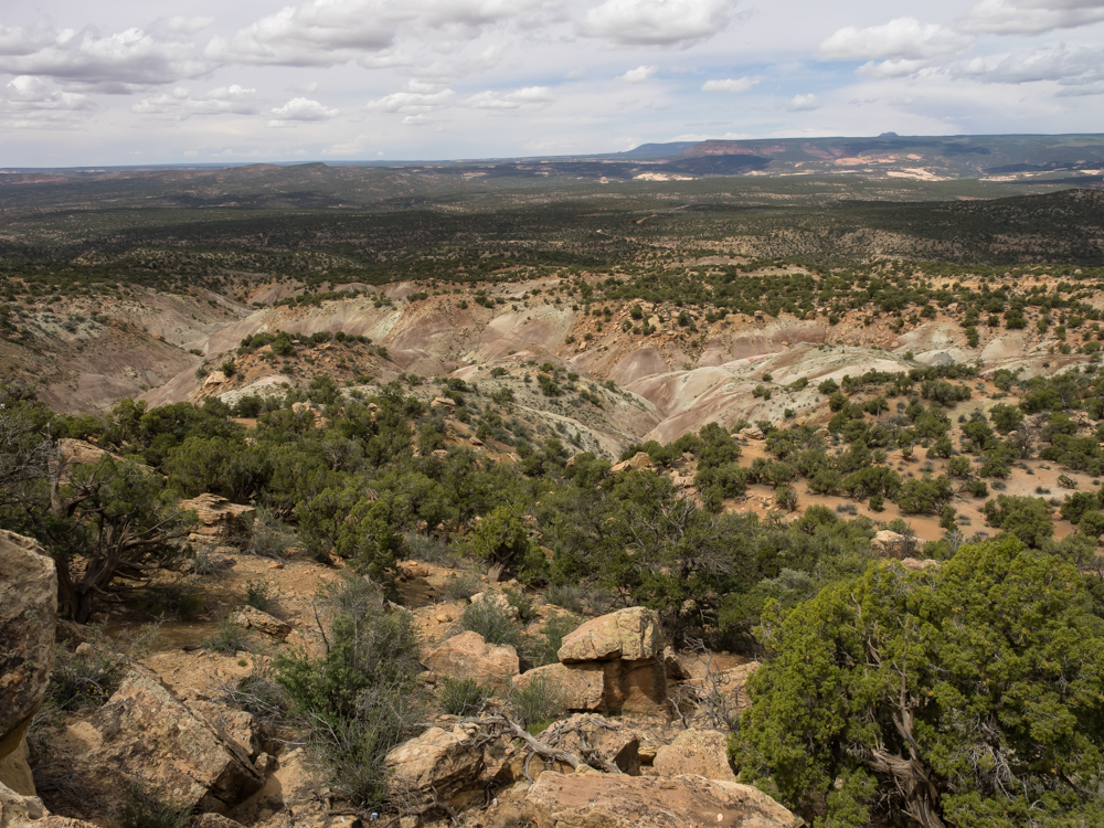
From our
stop we got a great view of the colorful canyons in the
distance. This area is heavily populated with Anasazi
ruins and we would see some of them in the coming days.
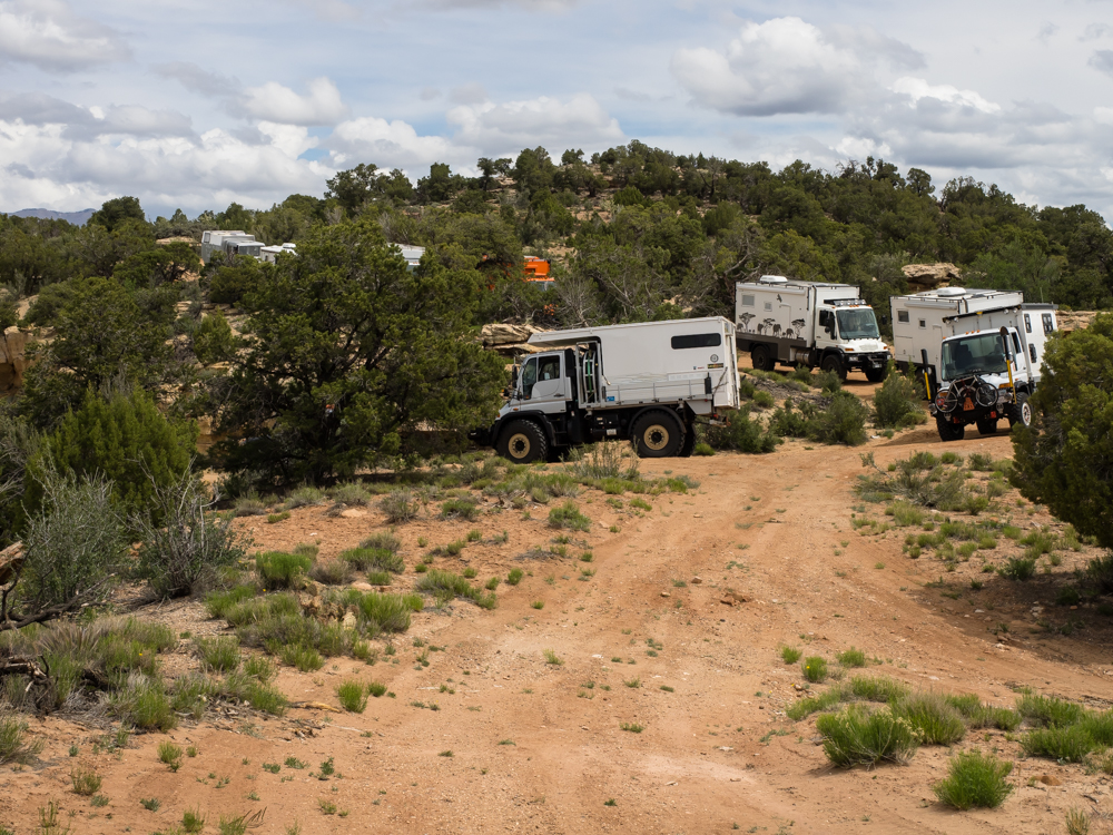
These
large trucks totally filled the width of the trail.
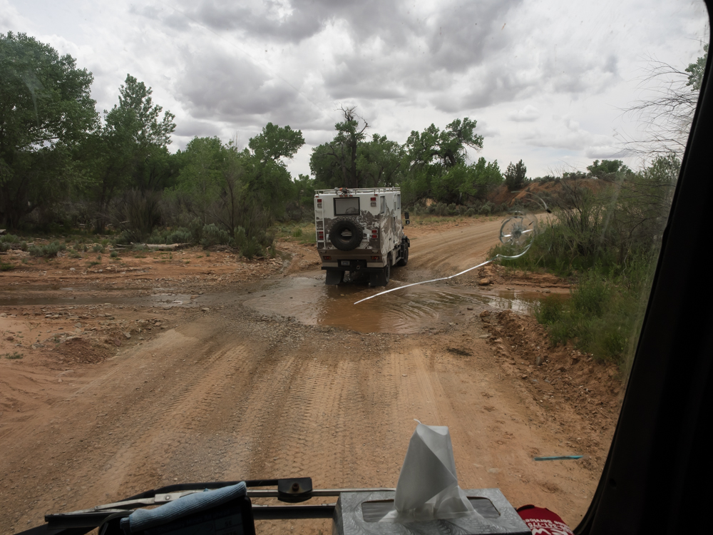
We had
several minor water crossings on this trail.
Kathleen
was a bit slow on the draw with the camera, but you can still
see light through the jug handle arch on the face of the
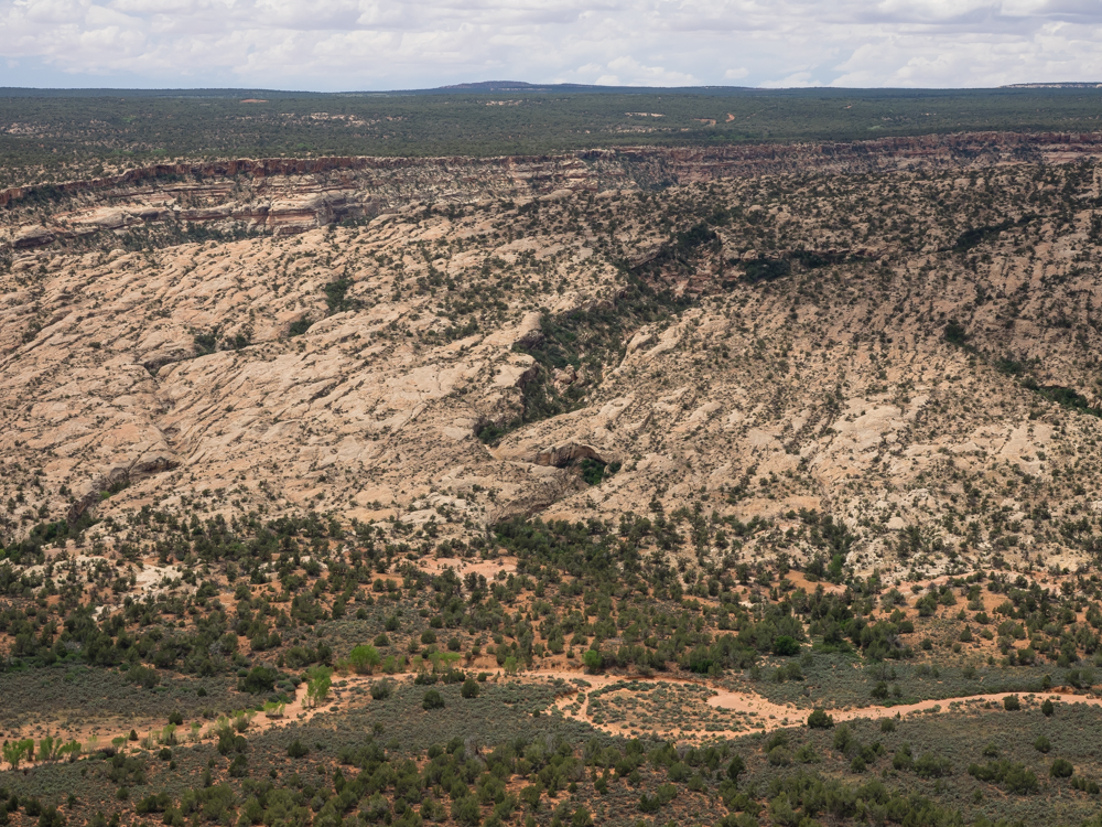
peak. Look on the right side near the top.
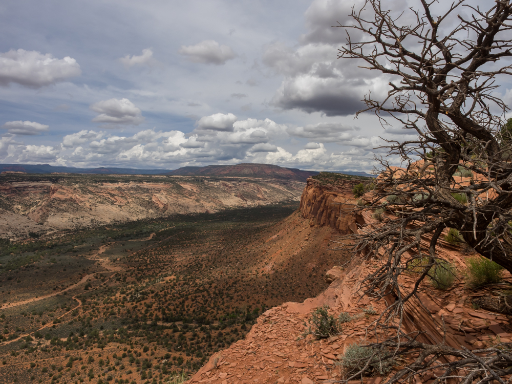
We
arrived at an overlook point that gave us a commanding view of
Comb Wash from Comb Ridge.
Looking
to the south, the monocline structure of the Comb Ridge hog back
is clearly visible.
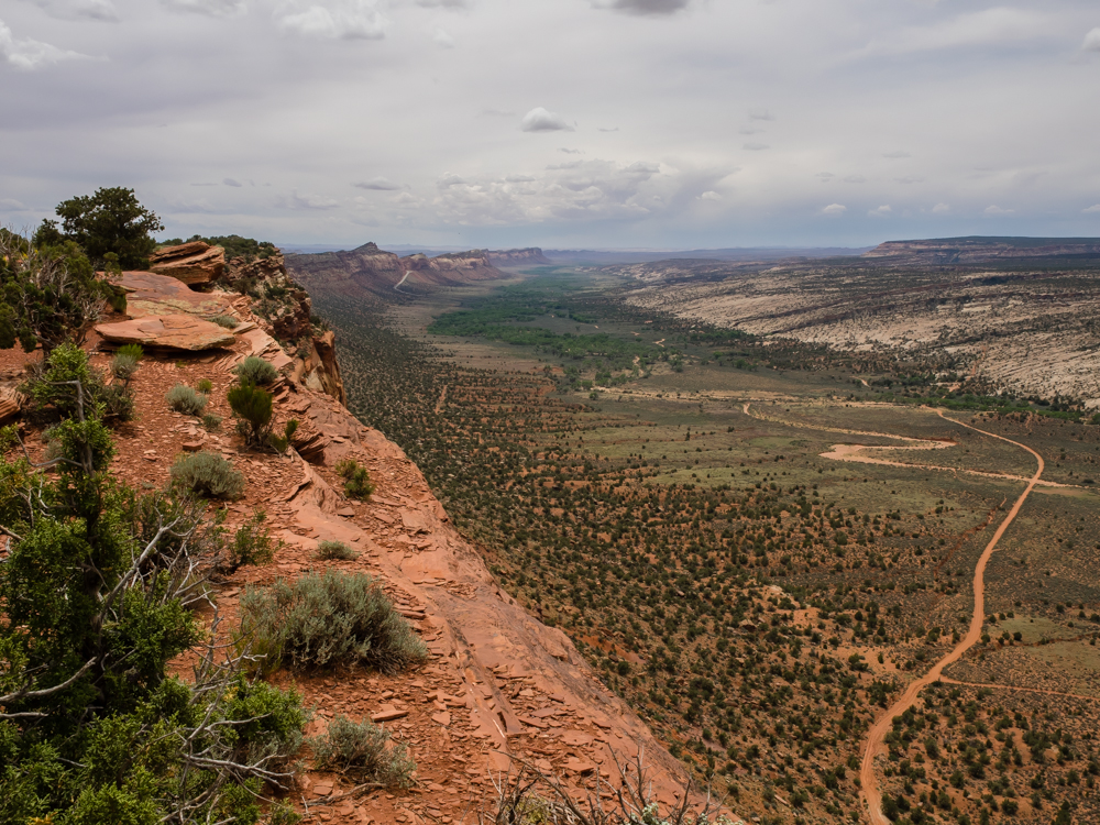
On the
opposite side of the Comb
Wash
were narrow slot canyons with plenty of indian ruins.
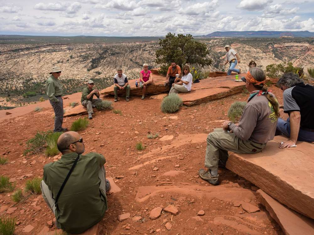
The
group broke for lunch and a brief training session on
differentials, differential locks and issues while 'wheeling.
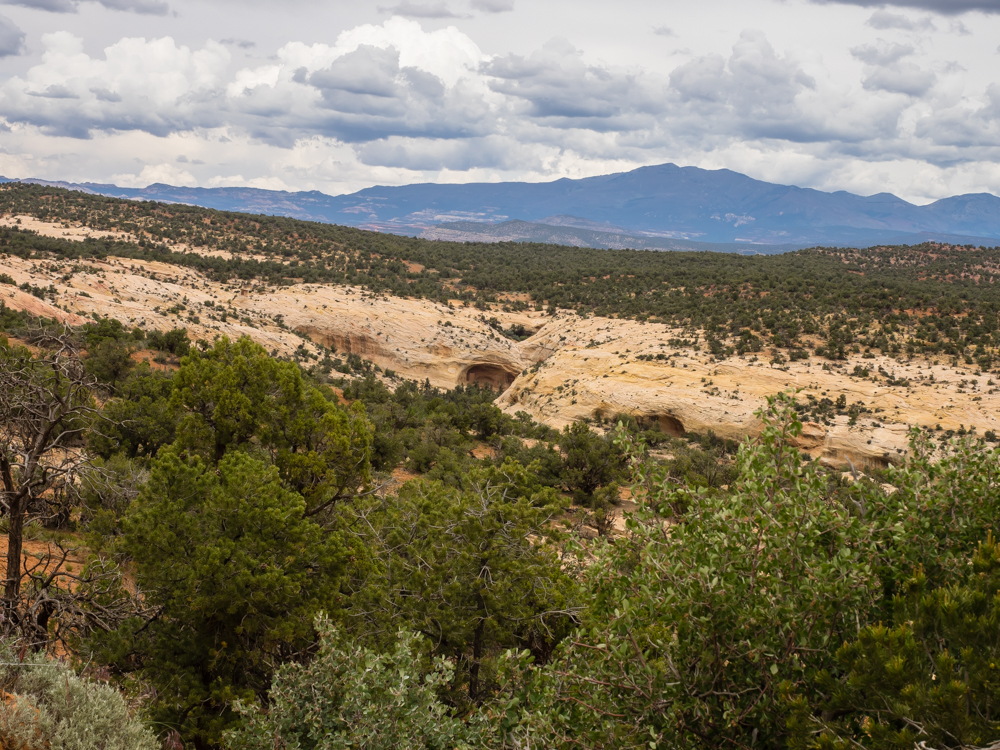
Our path to the
overlook point was a dead end. On our return north we
could see interesting alcoves in the next canyon over.
These alcoves likely held minor ruin sites, but we did not go
to investigate. In the distance are the Abajo Mountains.
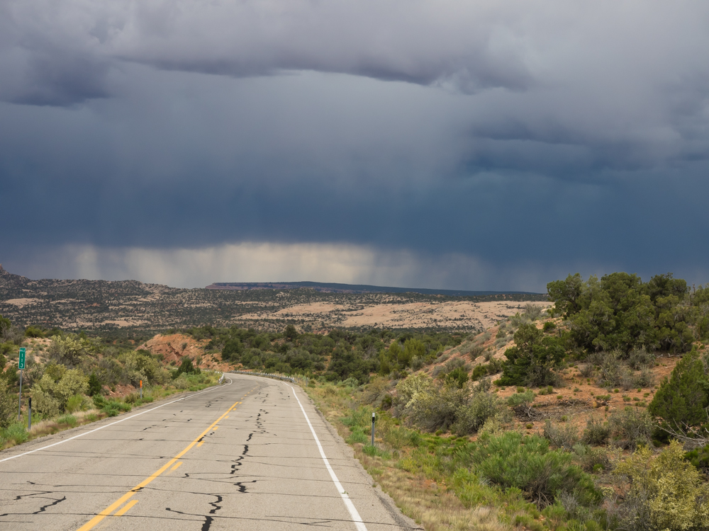
We headed south to UT
93 and then west and north in the canyon to our campsite for
the night. The rain on the horizon would visit us making
nice red dirt mud that would be tracked everywhere.
| Previous Adventure | ||
| Trip Home Page |
Photos and Text Copyright Bill Caid 2014, all rights
reserved.
For your enjoyment only, not for commercial use.