The photos below are what we saw.
Our
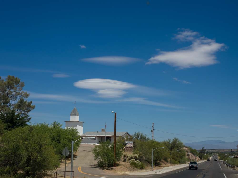
route took us along the San Pedro River through the small town
of Mammoth, AZ. The winds were blowing strong and produced
a set of lenticular clouds over the mountains to the north.
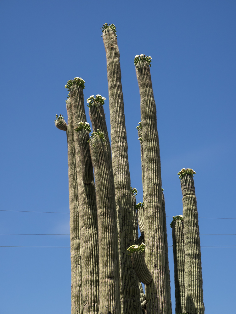
Springtime
in the Sonoran Desert means the sahauros are in bloom. The
local bat and insect population provides the cross pollination
for these large cactus.
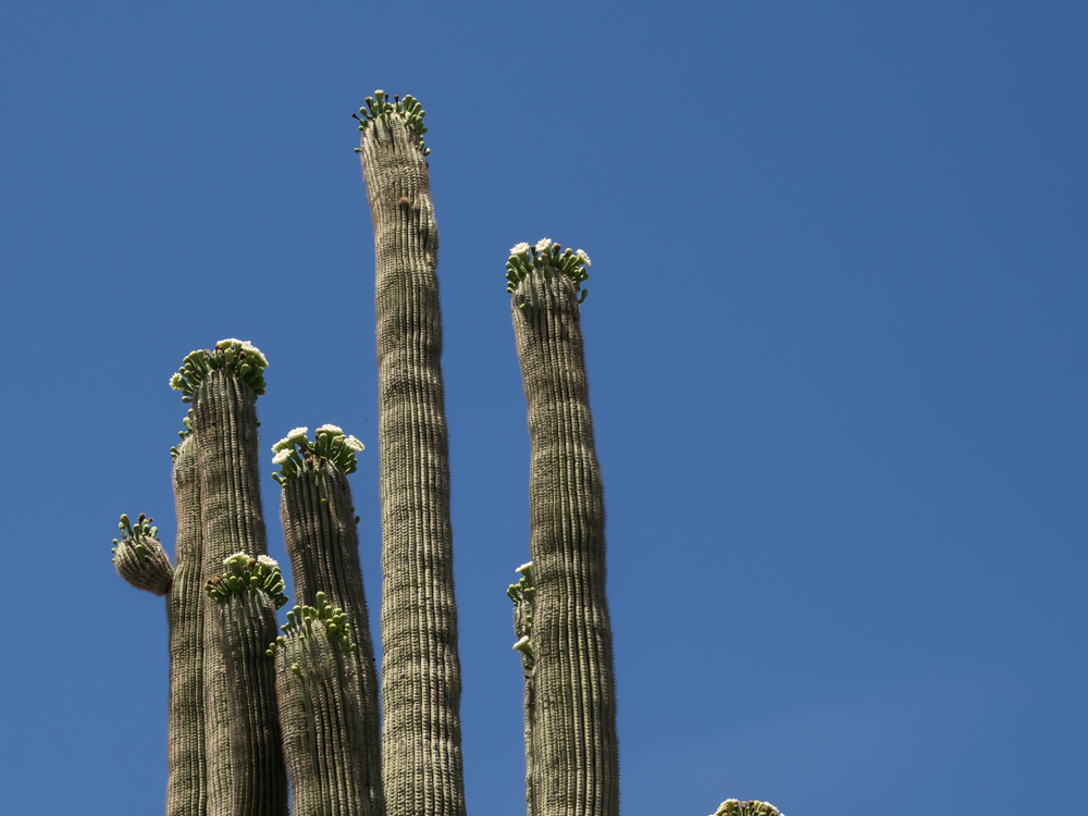
Most of
the sahauros had blooms.
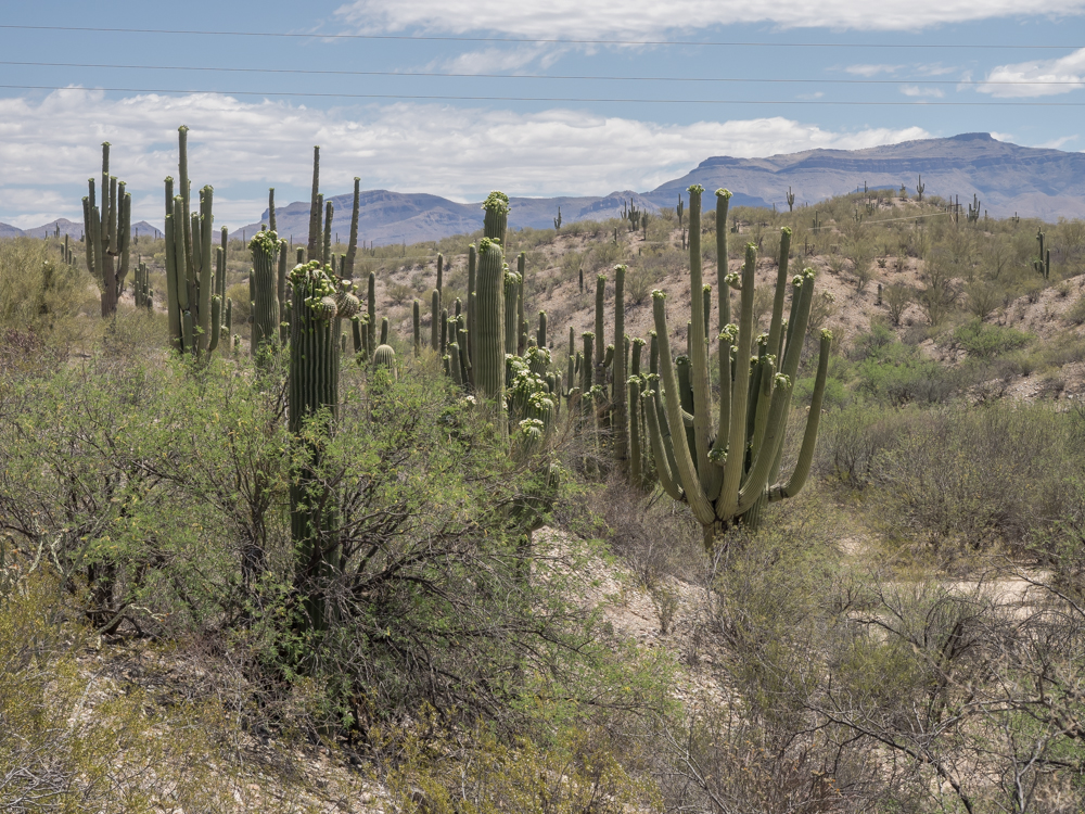
Along
the San Pedro River there were large stands of sahauros in
bloom.
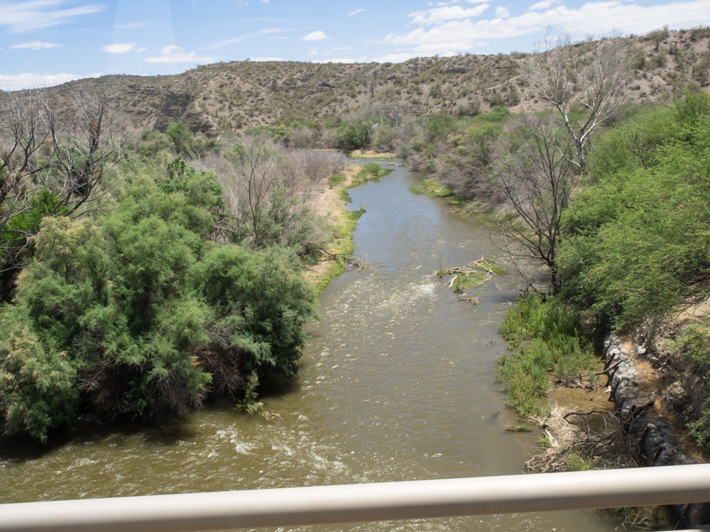
Further
north we crossed over the Gila River. While wimpy by
eastern standards, the Gila has carved large canyons and
provides the water supply for many hundreds of thousands of
people.
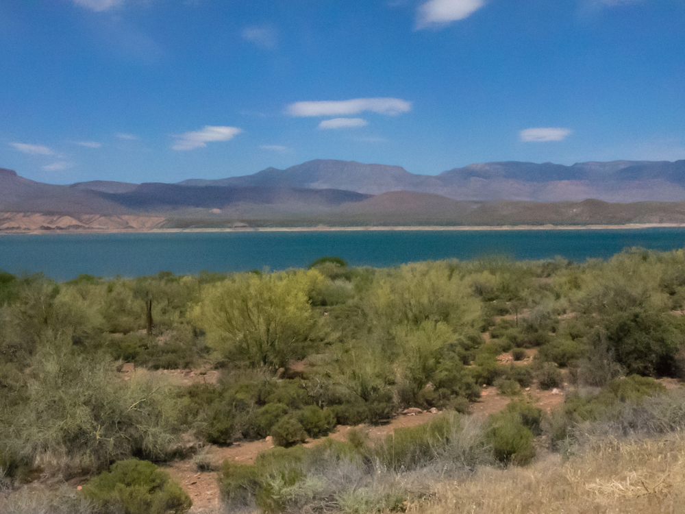
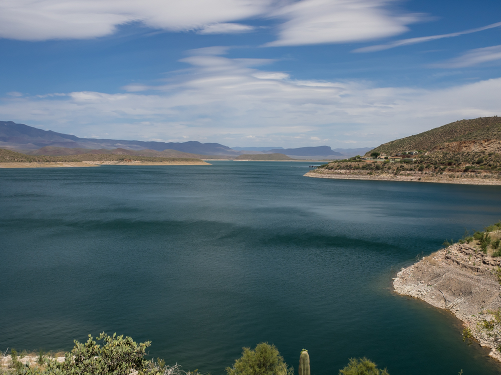
Further
north we hit the Salt River which is the primary water and power
source for the area. Roosevelt Dam on the Salt River
produces Apache Lake. Note the white band along the
surface of the lake. The lake level is low and has been
for some years. The drought in the west has been
unrelenting.
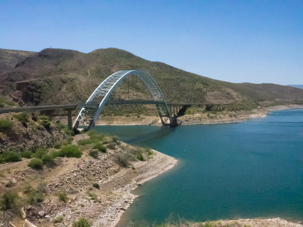
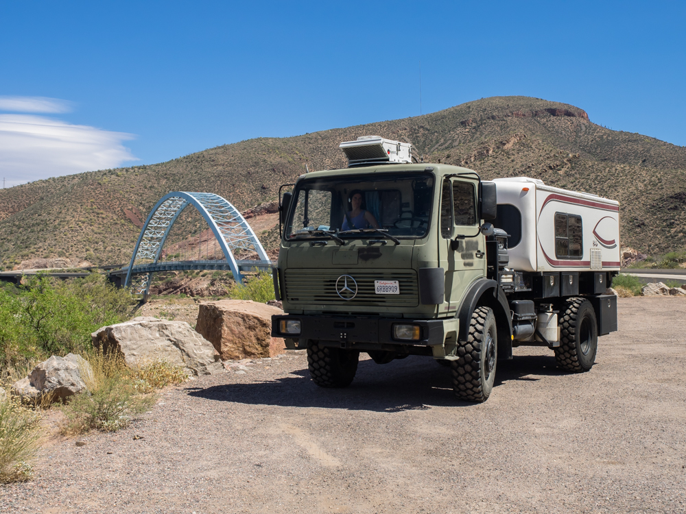
Part of
a recent refurbishment of the highway was this awesome bridge.
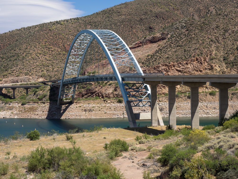
Note the
arch in the center of the bridge.
The
"bathtub ring" in the lake is pronounced in the photo above.
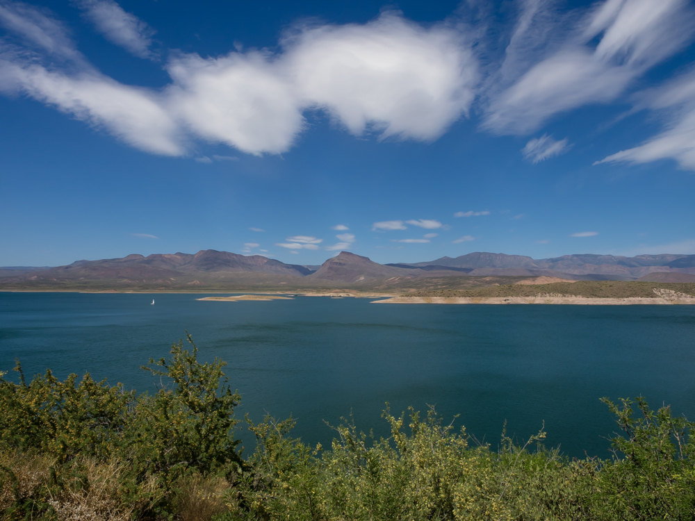
The lake
provides a source of aquatic sports in an otherwise dry terrain.
Note the
barren hills in the background. This is typical for this
region of Arizona.
En-route,
we decided to change our destination for the evening and decided
to head to the meteor crater outside of Winslow, AZ.
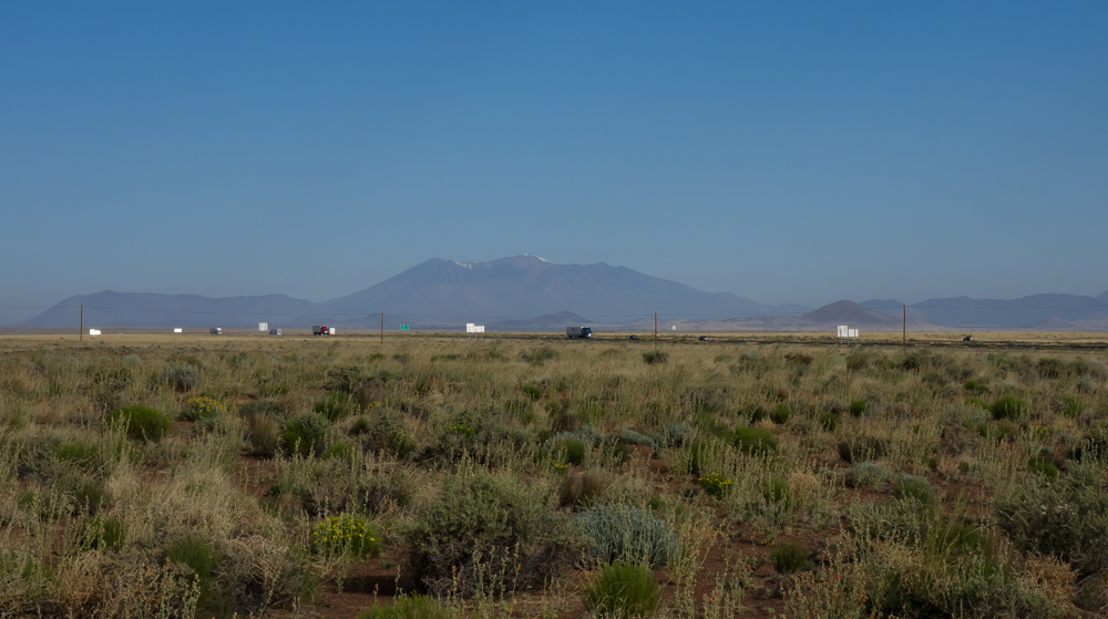
The park
was near I-40 and in addition to passing traffic, we could see
the 12,000+ foot San Francisco peaks in the distance. The
peaks still have a touch of snow remaining.
Also
visible on the western horizon was a large smoke
plume. In the photo above, the plume is just above
the horizon line. We discovered later that the plume was
being generated by a large fire in the Sedona area and was out
of control.
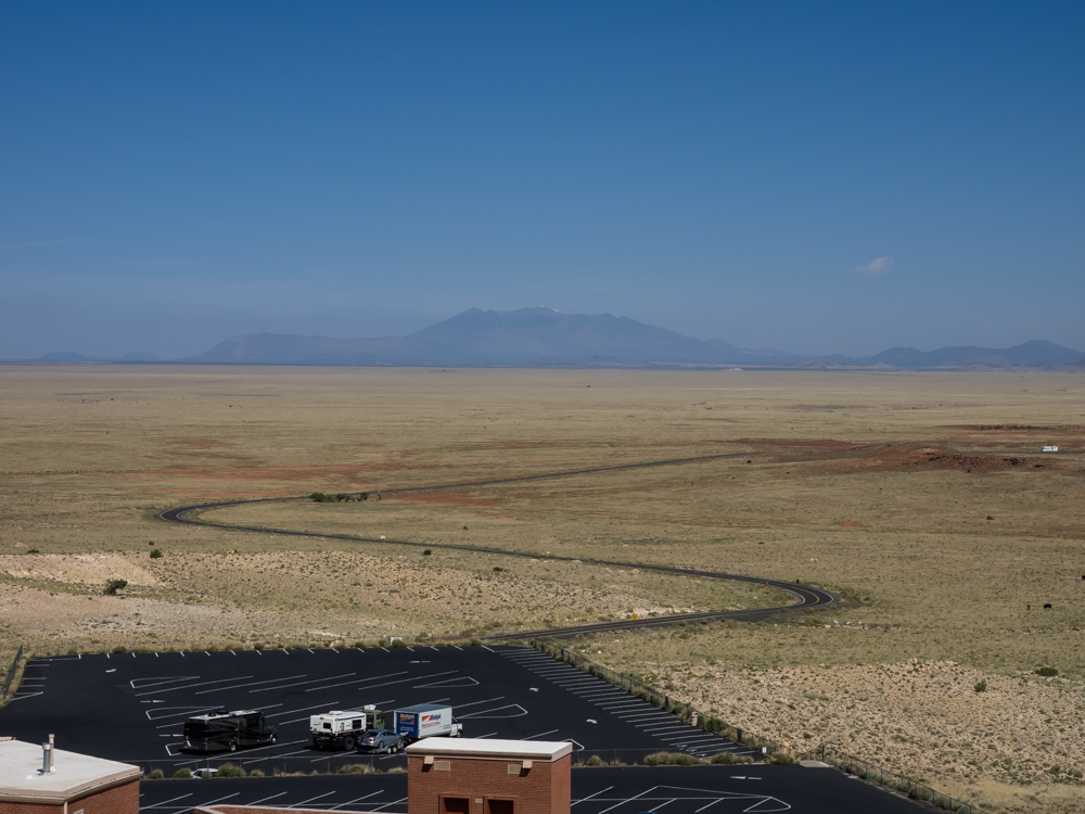
We had a
pleasant night and decided that we would head out early to see
the crater and then head toward La Posada Hotel for
breakfast. From the top of the crater, we could easily see
the San Francisco peaks. Note the smoke plume; while not
as pronounced as the previous day because the winds were calmer,
the fire was significant and over 60 miles away.
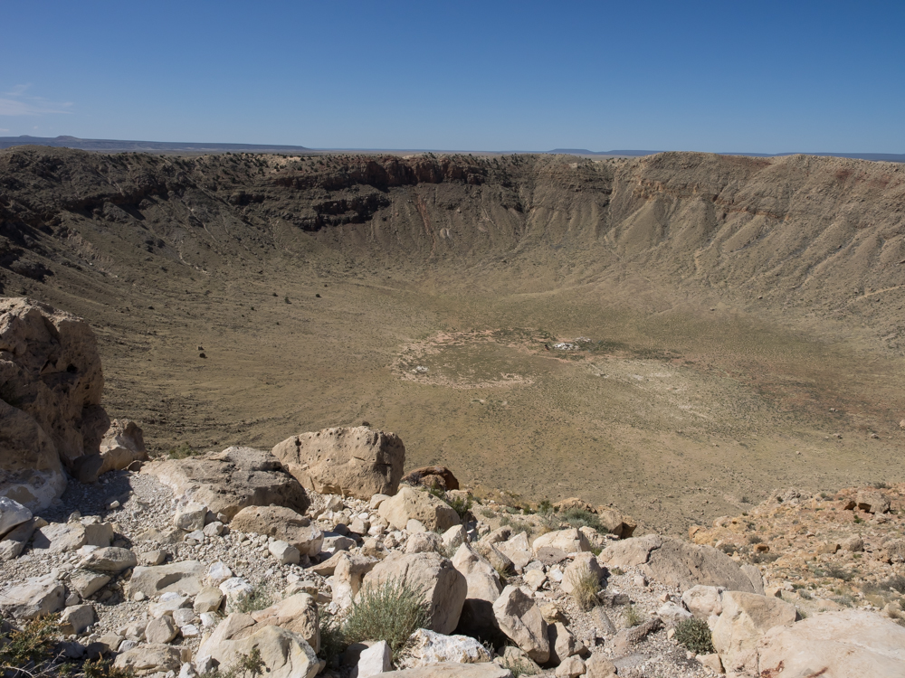
The
crater was large enough that I was not able to capture it with a
24mm lens.
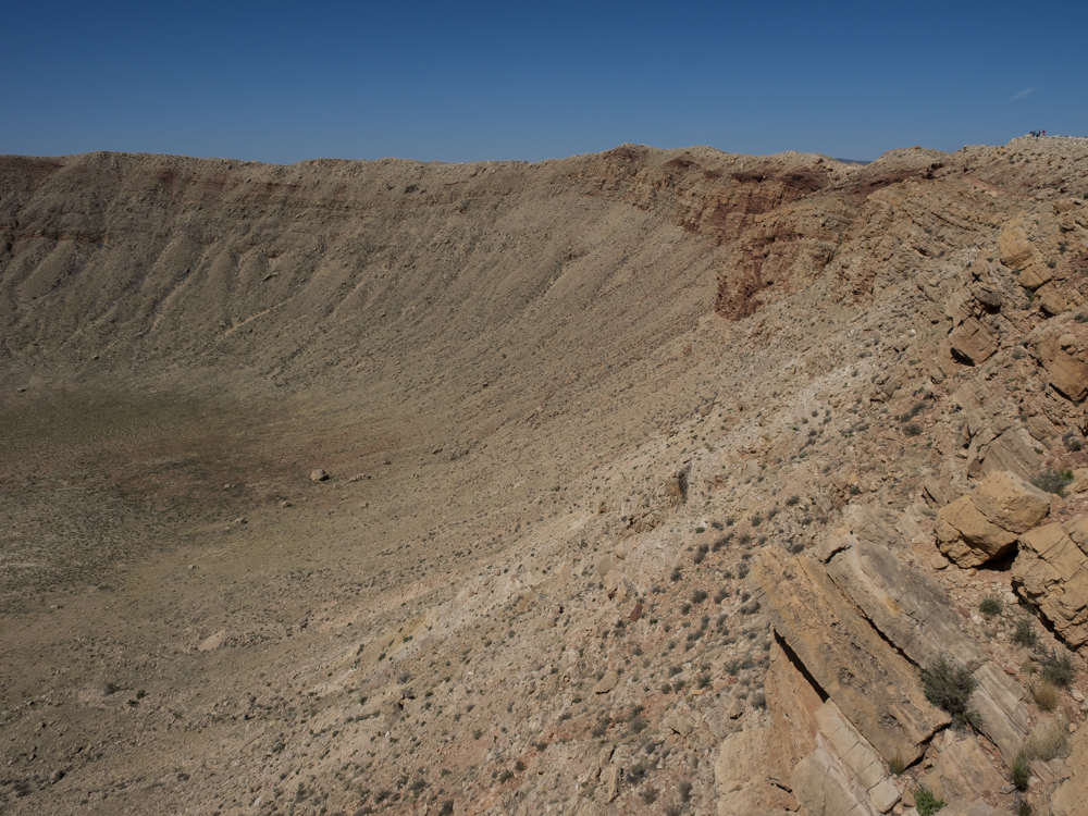
The
walls of the crater expose the underlying geologic strata and
the warping hints at the massive amount of energy dissipated as
a result of the impact.
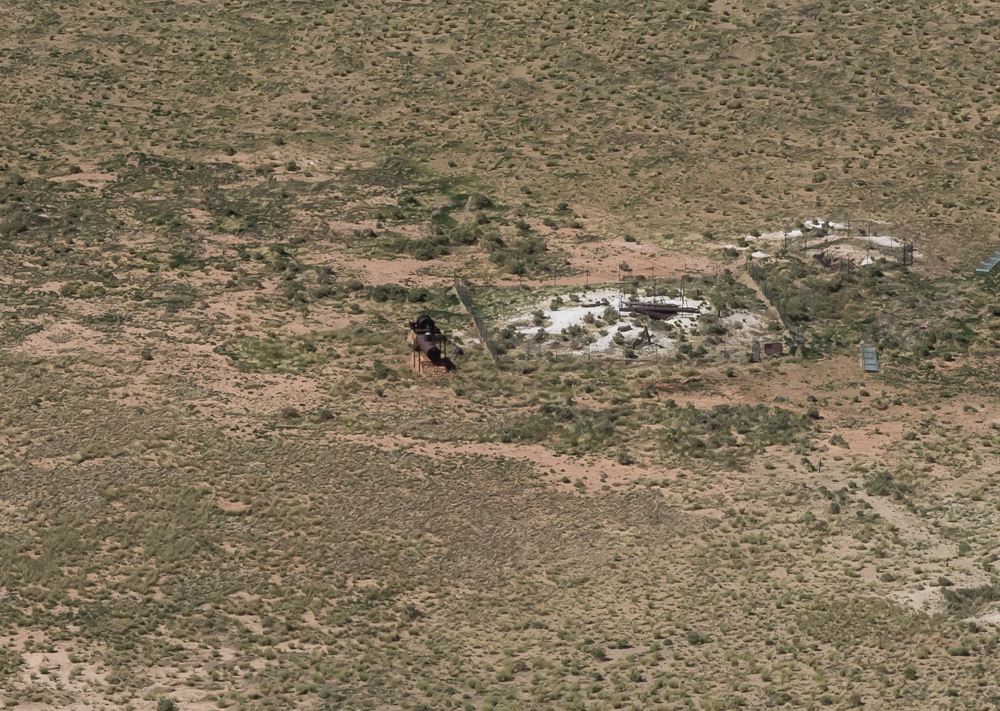
In the
center of the crater was a mine shaft where the early owners of
the land attempted to dig to the core of the meteor. They
failed mostly because they were digging in the wrong place.
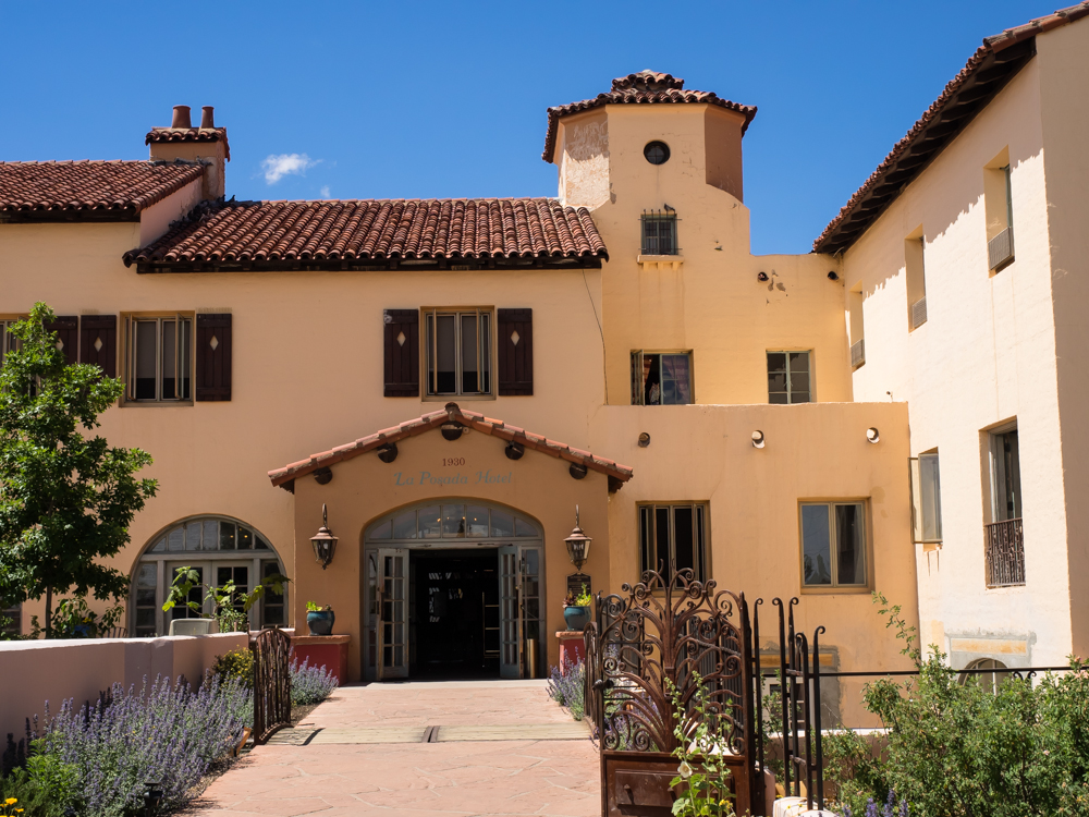
We
finished at the meteor crater and traveled east to Winslow, AZ
for breakfast at La Posada Hotel. La Posada is billed as
one of the last great "railroad hotels". In the golden age
of rail travel, the major east-west lines had nice hotels along
their route for the comfort of their passengers. La Posada
was built in 1930.
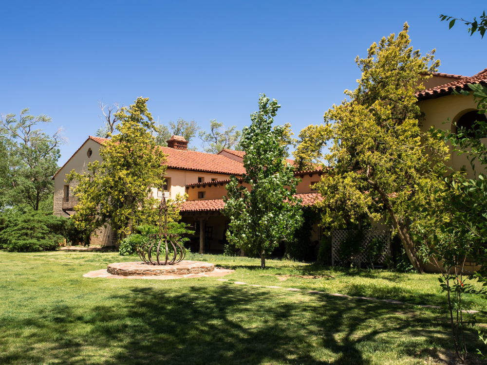
Now
considered a historic site, the grounds were in good shape and
the food at the restaurant was excellent.

Leaving
Winslow, Kathleen became enamored with a "cute" piece of
construction equipment that was demolishing a portion of the
freeway bridge.
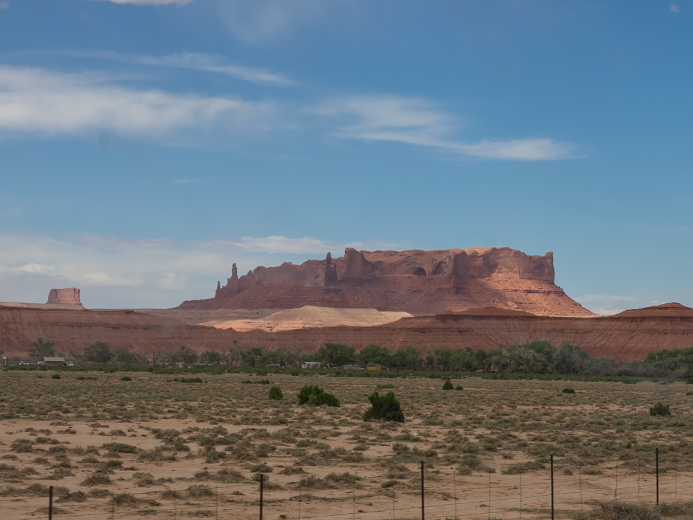
We
traveled east on I-40 then north on US 191 onto the Navajo
reservation. Our path took us close to large structures
similar to Monument Valley and Canyon de Chelly.
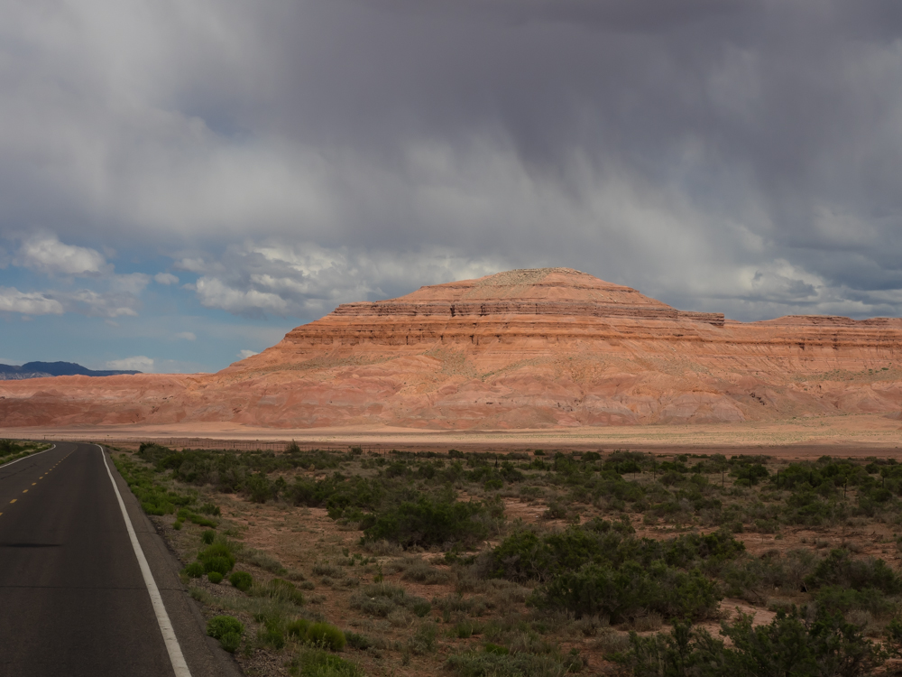
As is
typical of this area afternoon storms were building leaving
tendrils of rain sweeping across the high mesas and pockets of
bright sun illuminating the stark terrain.
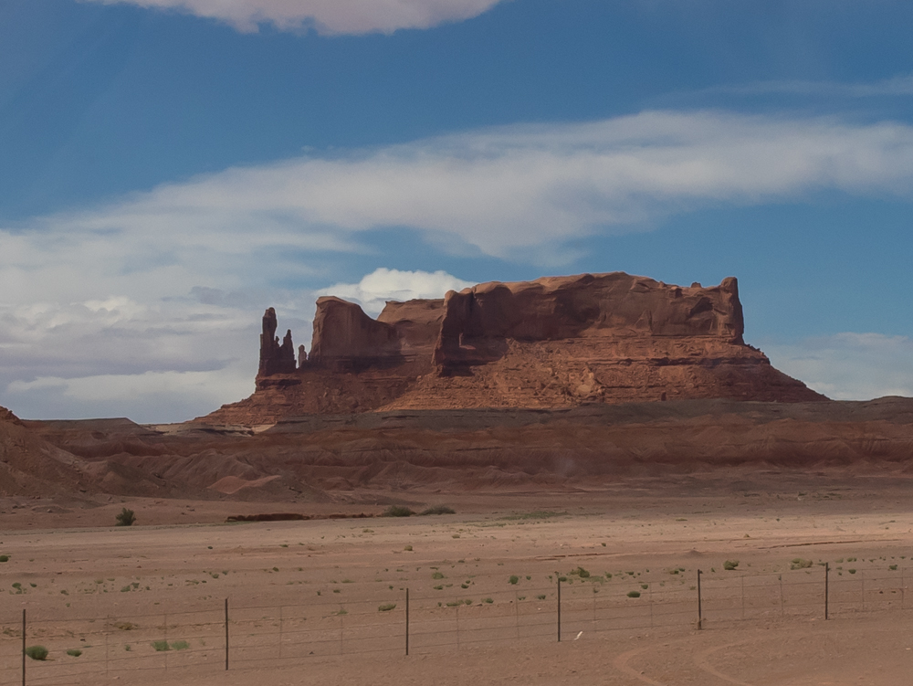
Several
of the formations visible from the highway were spectacular.
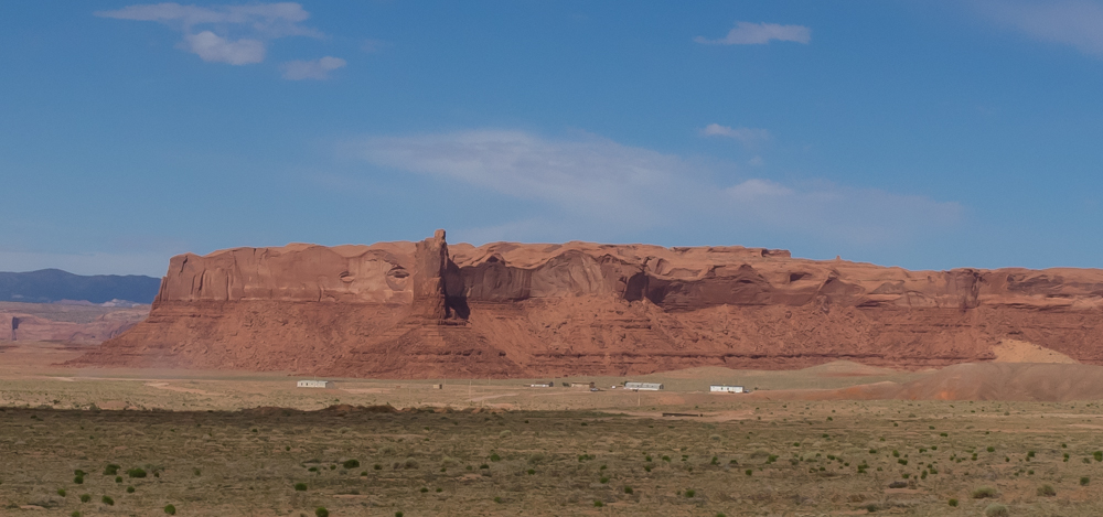
Some of
the smaller Navajo villages were in the shadows of these massive
cliffs.
From the
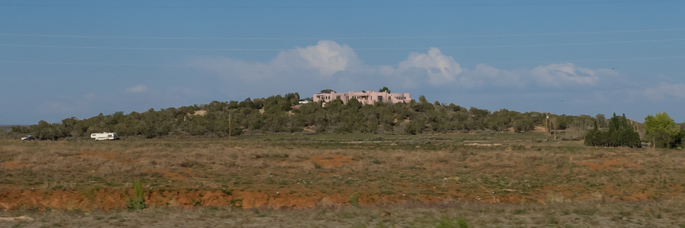
reservation, we continued north on US 191 to Blanding, UT.
Just outside of Blanding, we spotted this large estate on a
hill. The King of Blanding, UT owns this place situated on
the escarpment overlooking the canyon to the east. This is
a big house and I am sure it cost a ton to heat in the winter,
but the view is awesome.
We
arrived at the Devil's Canyon campground 8 miles north of
Blanding to meet our group. Brad and Oksana had arrived a
few days before and reserved some sites for the group.
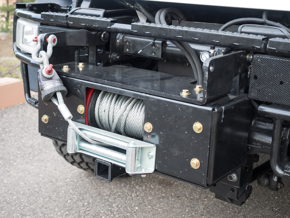
Above is Tony's brand new winch. According to Tony, there
was some blood shed during the installation process due to the
addition of the required hydraulics. "A plumbing
nightmare" was the term he used.
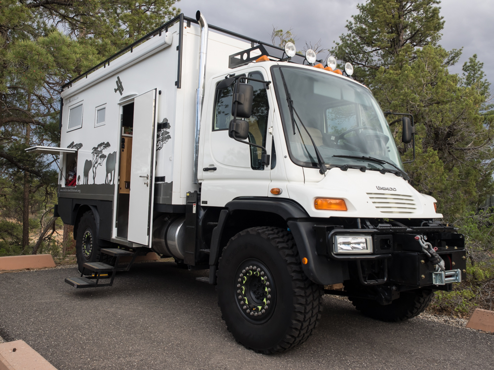
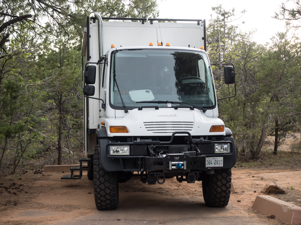
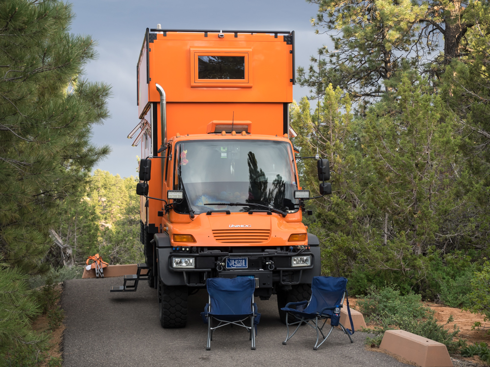
Tony has a Global
Expedition Vehicles (GVX) U500 based camper. This is a
very luxurious rig.
Mark and Gail arrived a bit later in their GVX U500 camper. They drove from southern Illinois to join the trip.
| Previous Adventure | ||
| Trip Home Page |
Photos and Text Copyright Bill Caid 2014, all rights
reserved.
For your enjoyment only, not for commercial use.