We
stayed at the Canyonlands RV park doing chores -- laundry,
shopping, draining and filling tanks, etc. And, could you
ever make a trip to Moab without purchasing "tourist
trinkets"? We fell into that trap and got shirts and bumper
stickers and some awesome Yeti insulated tumblers. These
tumblers were pricey, but boy do they work.
While
we were in Moab, we used the time to explore the LaSal loop and do
a drive-through at Arches National Park. From Moab, we
headed to Grand Junction to address my failed laptop hard drive,
along the way purchasing a new laptop. From Grand Junction,
we headed to Grand Mesa and then south to Mesa Verde, CO.
The photos below are what we saw.
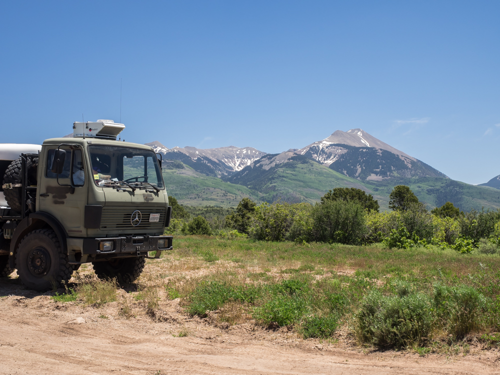
We
took Thor on the LaSal loop. There were plenty of pull-outs
to allow photos.
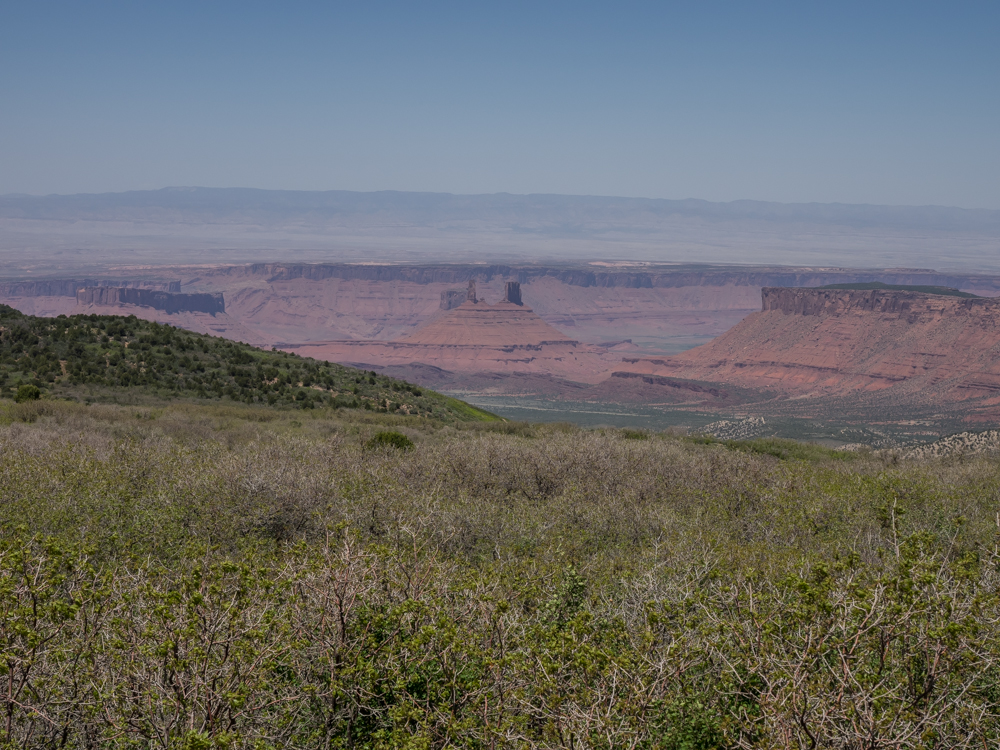
From
the loop, we could see Castle Valley below.
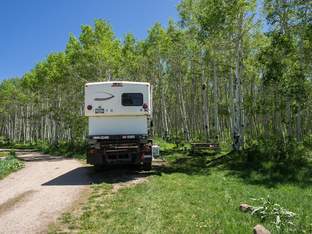
We
stopped at a Forest Service campsite for lunch. The aspen
trees were fully green despite the 9,000+ foot altitude.
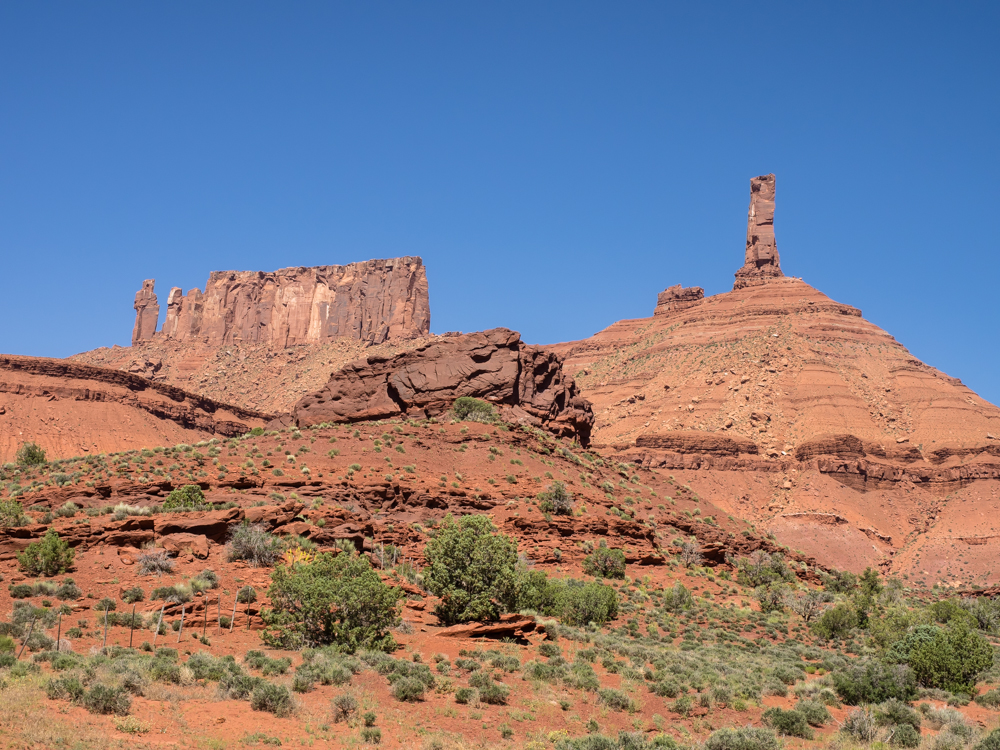
The
exit from the loop in Castle Valley gave us a nice view of the
local monuments.
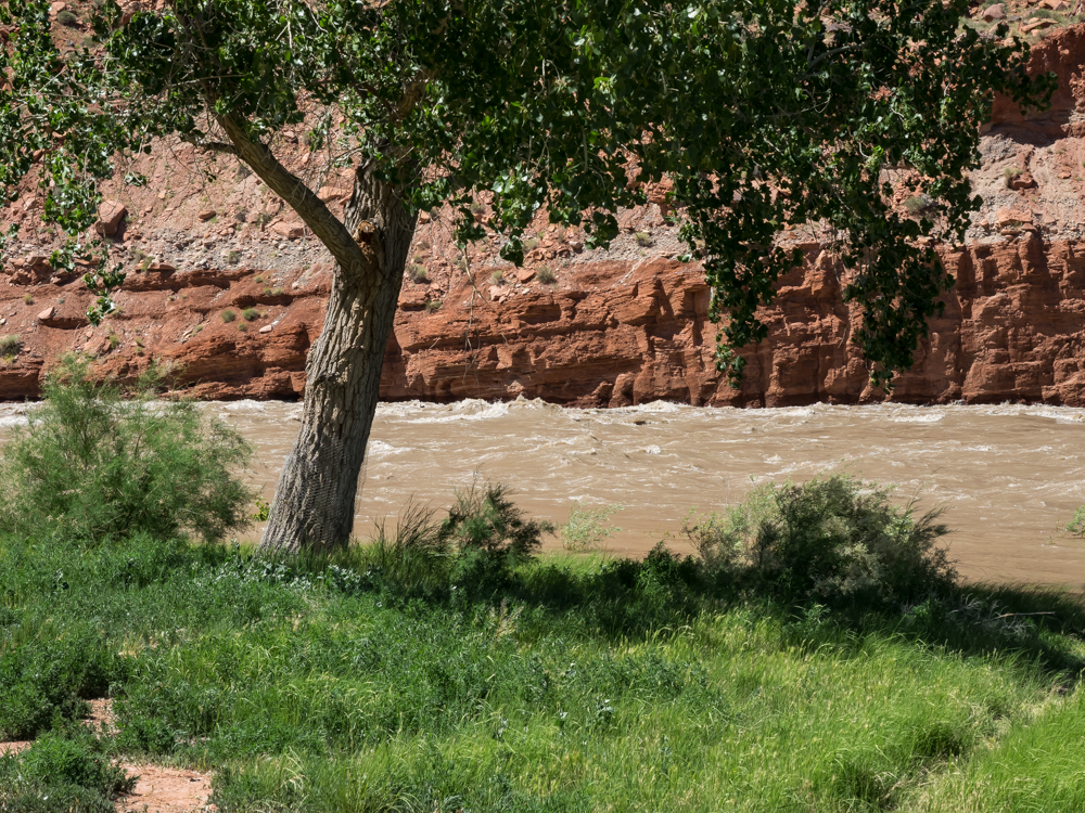
Our
path took us right past the Colorado River which was running high
with spring runoff. Flow was estimated at about 38,000 cubic
feet per second.
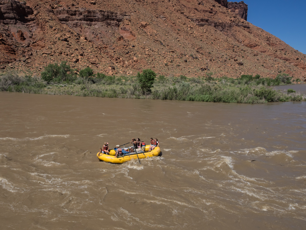
We
passed a number of river raft tours in progress. These day
tours are run out of Moab. The air is hot (about 100
degrees) but the water is ice cold from the snow melt.
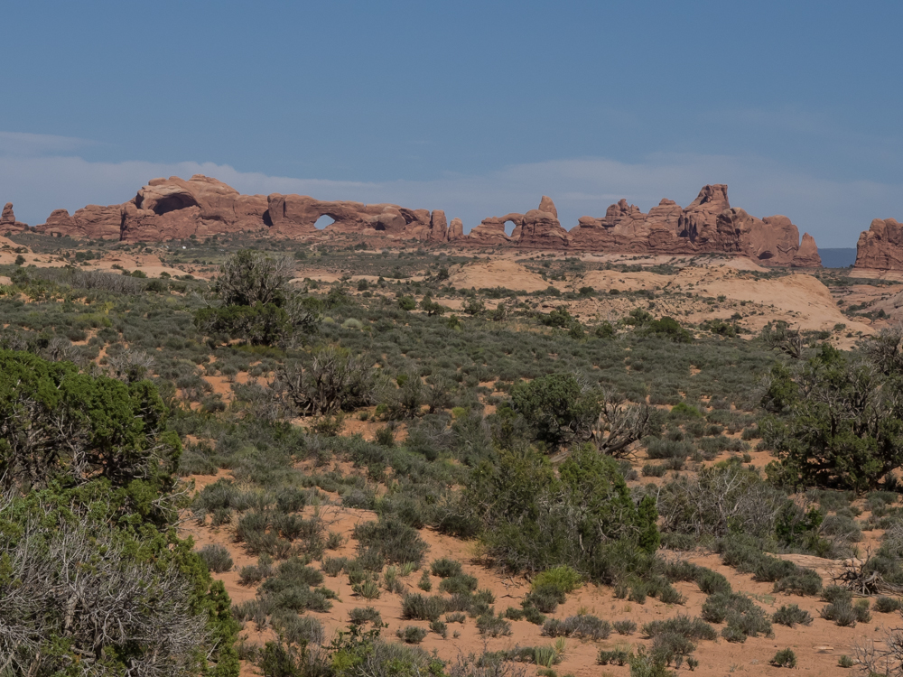
We
did a quick drive through Arches to see the sights. Above,
several arches are visible on the far fin.
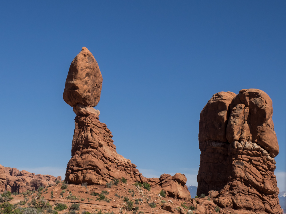
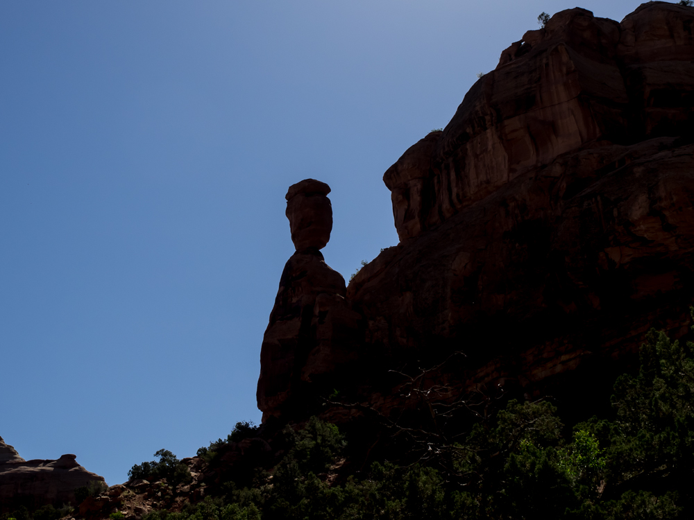
These
"standing rocks" were close to the drive, but were tame in
comparison to those that we saw on the White Rim Trail.
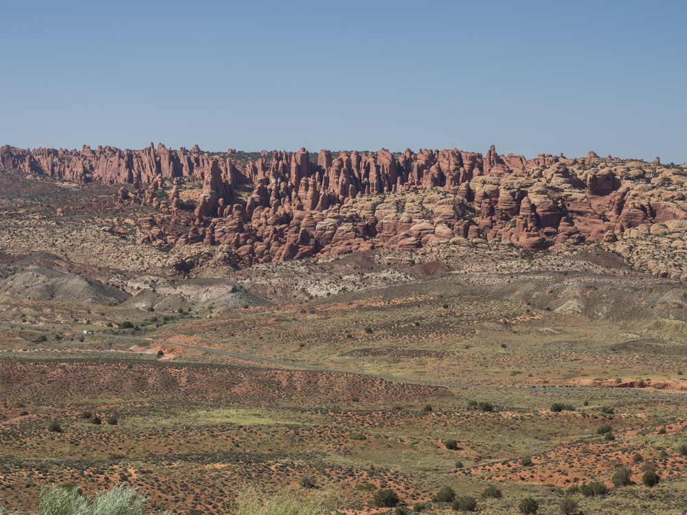
A
pull-out on the drive gave us a distant view of "Devil's Garden",
a set of fins in the north portion of the park.
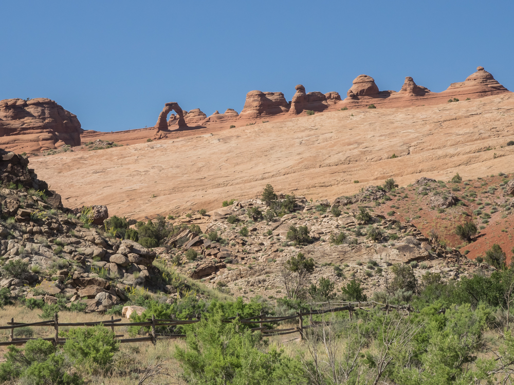
Our
first view of Delicate Arch, Utah's state symbol. We
declined on the opportunity to hike to the arch as the afternoon
temperatures were at the 100 degree mark and it is a 3 mile round
trip hike.
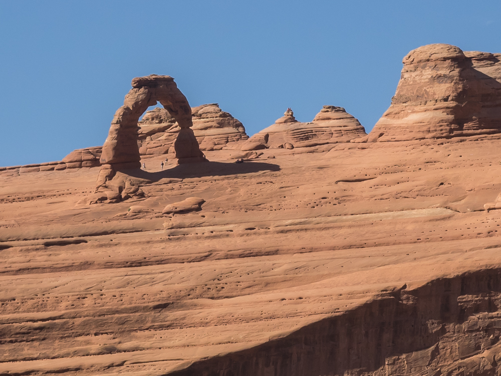
We
did hike to an overlook point and a telephoto lens is almost as
good as legwork. The height of the arch can be estimated
based on the people standing underneath.
From
Moab, we headed east to Grand Junction,CO (the closest "big" city
that had an Apple store) to address my laptop. I gave them
my old unit for disk replacement and data recovery, but they could
not recover any data. Kathleen saved our bacon with her
recovery program and since the drive had failed on the White Rim
Trail all of those photos were at risk. Luckily, I got them
back. I also bought a new laptop and plan to use the
refurbished old unit as a video server in Thor. Once we were
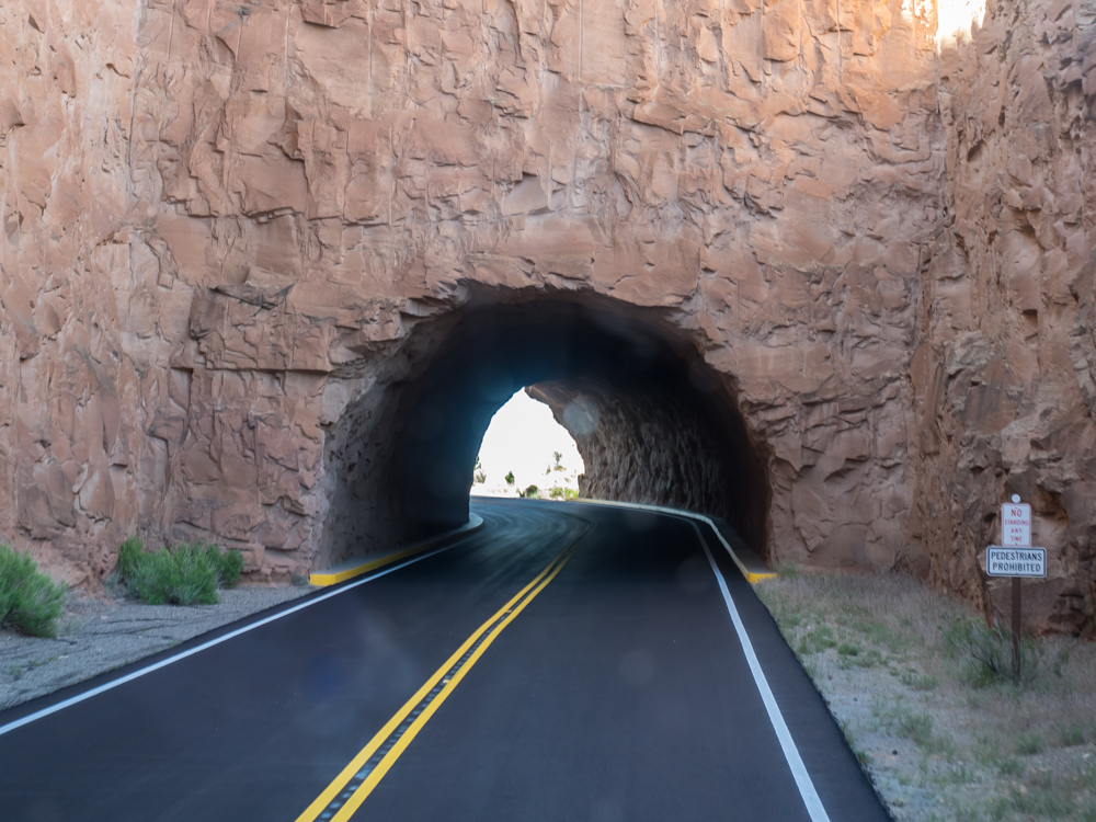
through at the computer store and done shopping, we headed west to
Colorado National Monument to spend the night. The Monument
is on a ridge on the west side of Grand Junction and has a very
steep road to get to the top of the mesa. The road had three
tunnels that claimed 10.5 foot clearance (which would have
precluded our travel). But, we decided to test it anyway and
found that height is at the right edge of the lane.
Solution? Take your half out of the middle.
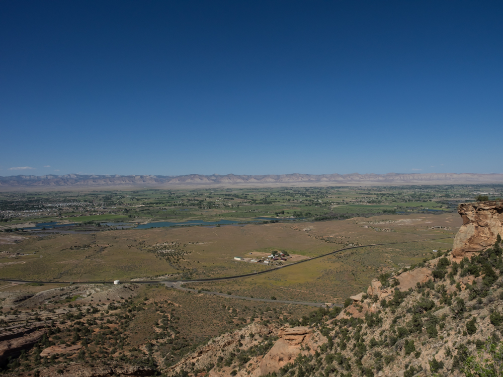
The
view from the top of the mesa was stunning. Visible in the
distance are the Book Cliffs with the Colorado River in the middle
of the photo.
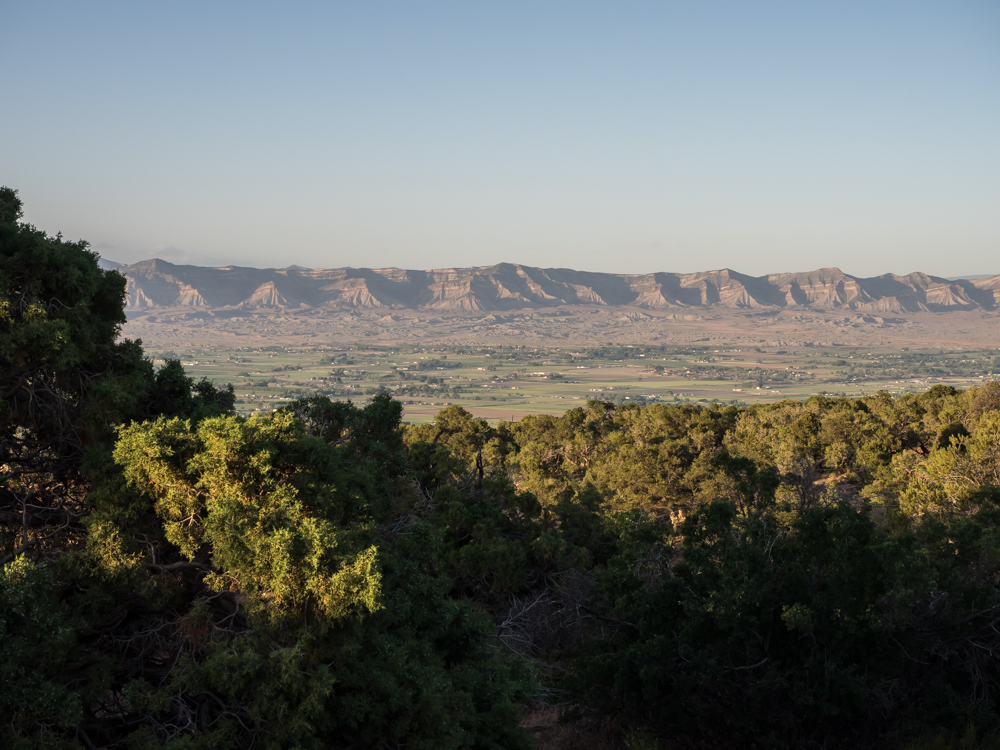
As
the sun set, I took another photo that shows the Fruita valley to
the north and the Book Cliffs.
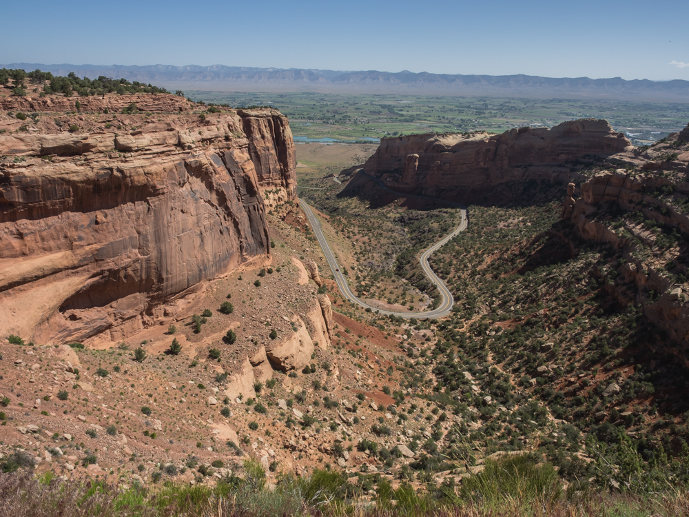
Next
morning on our exit from the park to pickup the repaired laptop,
we got a great view of the cliffs of the mesa.
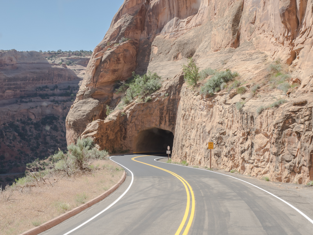
I
used the same middle-of-the-road technique for the tunnels on
exit. No traffic, no issues.
The
sun highlighted a prominent hoodoo.
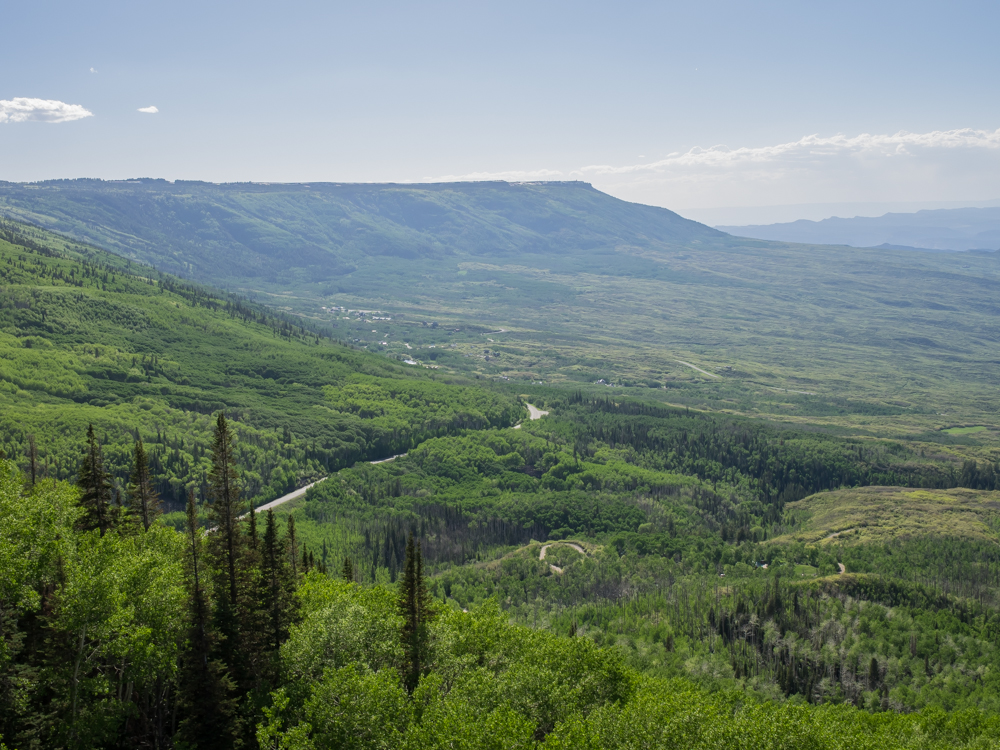
After
getting the laptop and some supplies, we headed up Grand Mesa to
the east of the city. The top of the mesa is over 10,000
feet and there was still plenty of snow and closed trails.
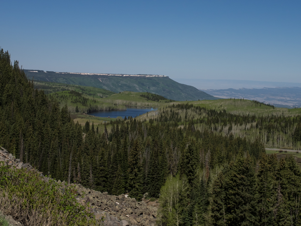
Snow
is visible on the north edges of the rim of the mesa. Odd to
think of the valley being nearly 100 degrees and snow persisting
up here.
We
stayed at the first campsite we encountered, "Jumbo", which was a
good thing because all the others were still snowed in. The
site was at about 9500 feet so it was chilly at night. When
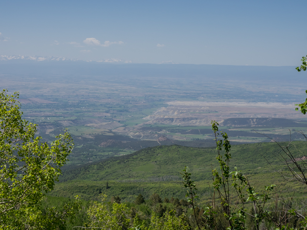
we got rolling again the next morning, we headed south through
Cedar Edge, CO and got this view of the Delta Valley below.
The still snowy San Juan range is visible on the horizon.
The haze in the air made photos problematic.
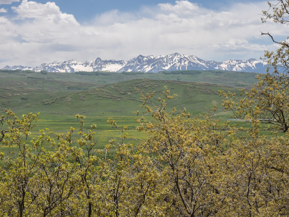
Our
path took us south out of Montrose through the Uncompagrahe
Mountains. Many of the peaks in the area were still snow
covered.
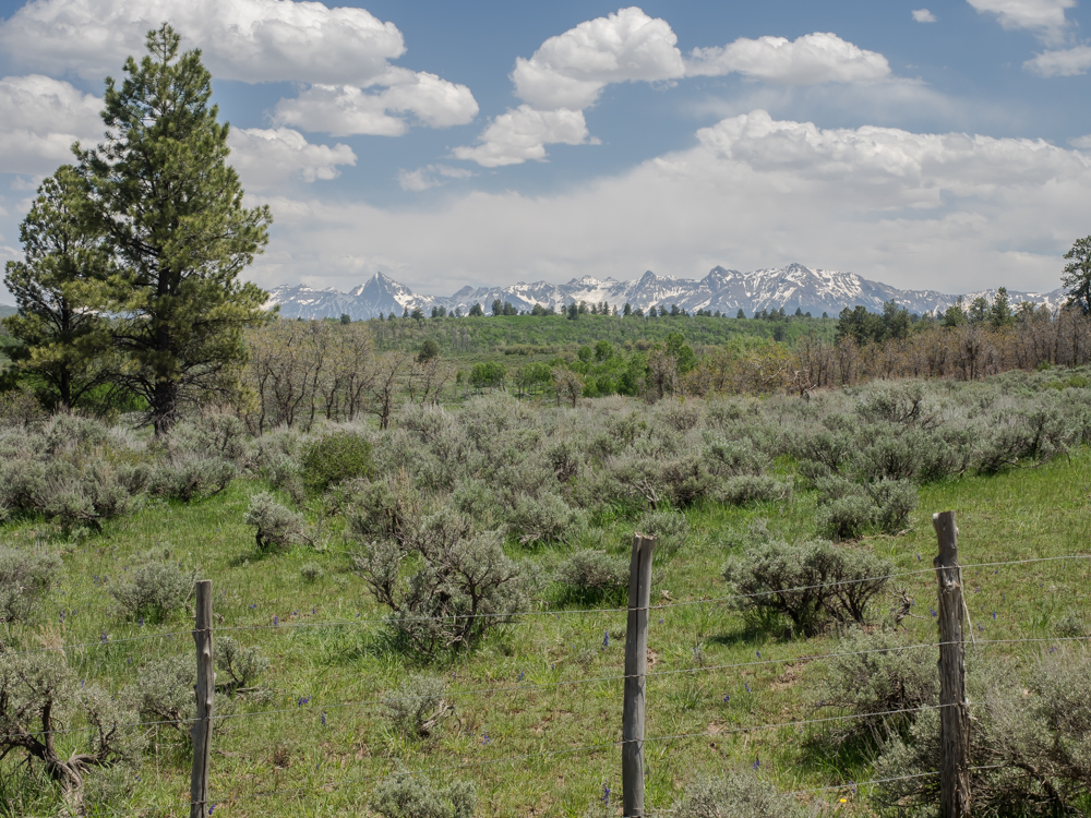
There
was some great scenery on our path.
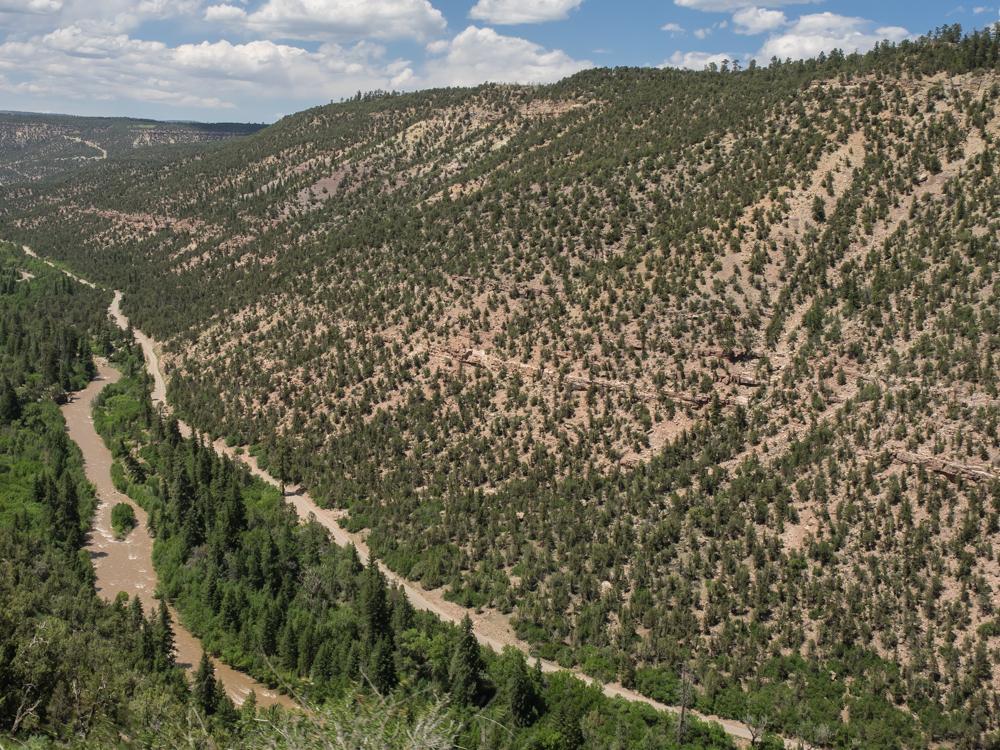
The
forest road finally descended off the mesa to the San Miguel
River. The river was running strong. Our path was via
the dirt road visible at the left of the photo above.
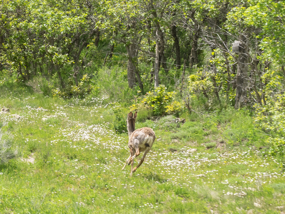
We
traveled on the blacktop for a mile or two and then headed south
through the mountains on the dirt toward Dolores, CO. Along
the way, we scared up this doe grazing on the shoulder of the
road. Note that she has her ears fully turned rearward to
listen to our advance to see if evasive action is needed to avoid
being eaten.
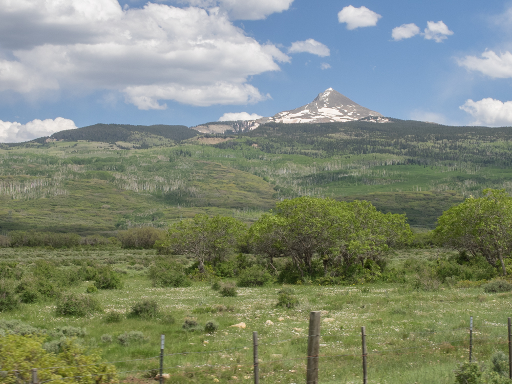
The
trail traveled to the west of Lone Cone, a volcanic peak that
dominates the local terrain. The flanks of Lone Cone are
heavily wooded and home to many kinds of game.
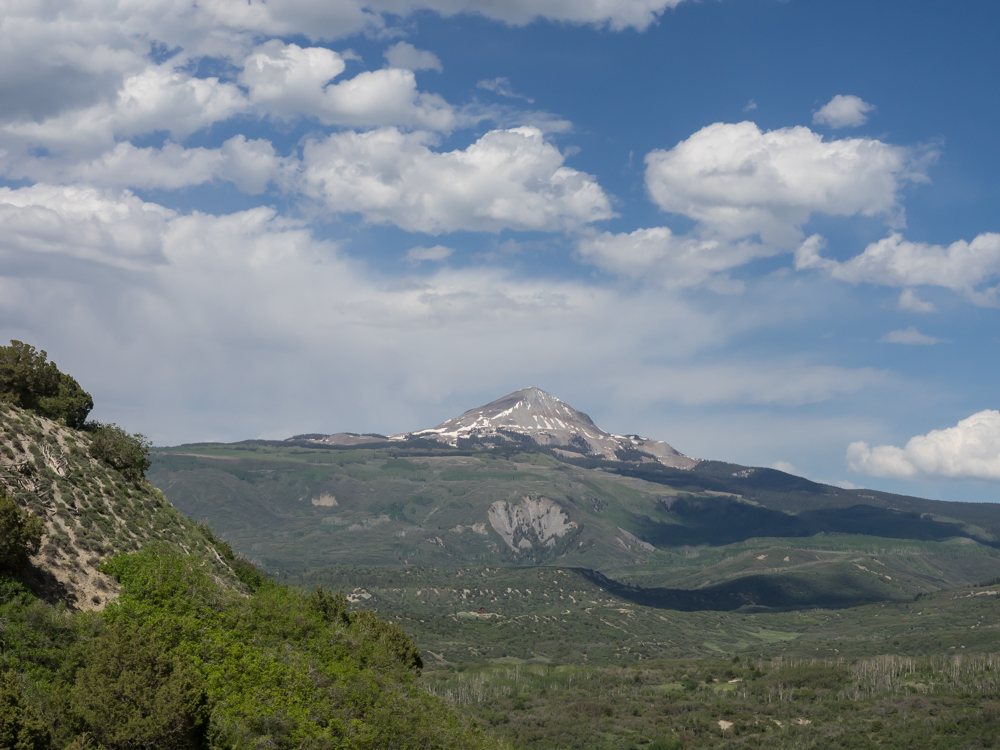
Many
miles to the south we got another view of Lone Cone, but this time
from the south side.
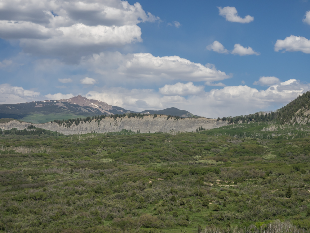
Much
of the terrain in the area is dominated by volcanic rock.
| Previous Adventure | ||
| Trip Home Page |
Photos and Text Copyright Bill Caid 2014, all rights
reserved.
For your enjoyment only, not for commercial use.