After
lunch, we continued west on the White Rim Trail toward our camp
at "Candlestick". So far, the trail had been rough, but
easy in that the trail was wide and not exposed (near cliff
edges). This would change soon.
The photos below are what we saw.
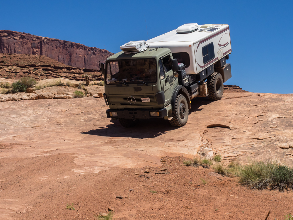
After
lunch, we started encountering slickrock domes.
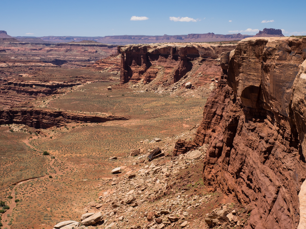
The
trail continued on the northern edge of the side canyons giving
us a view of the numerous totem pole structures in the valley
below.
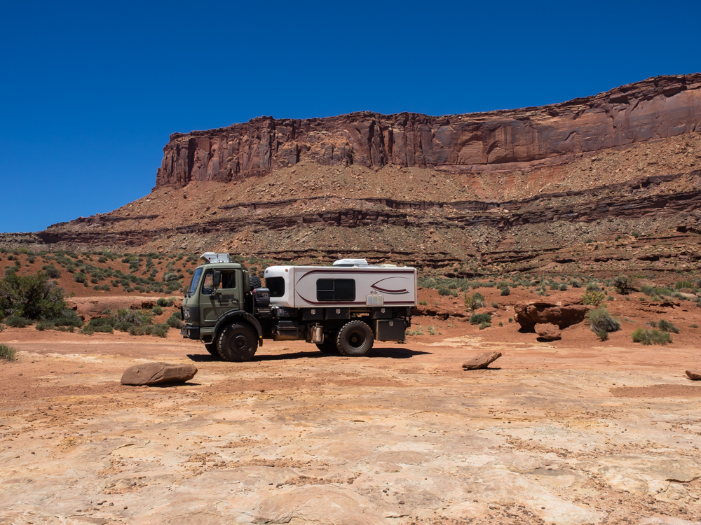
The
trail skirted huge sandstone cliffs and ended in a slickrock
mesa that dropped off into the lower canyon.
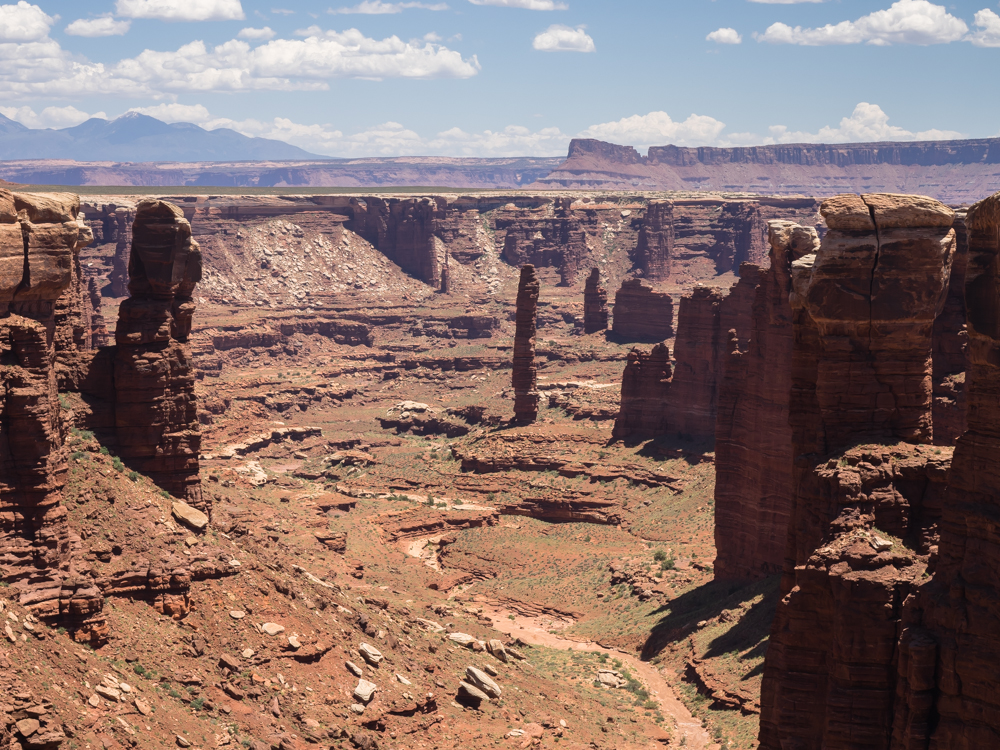
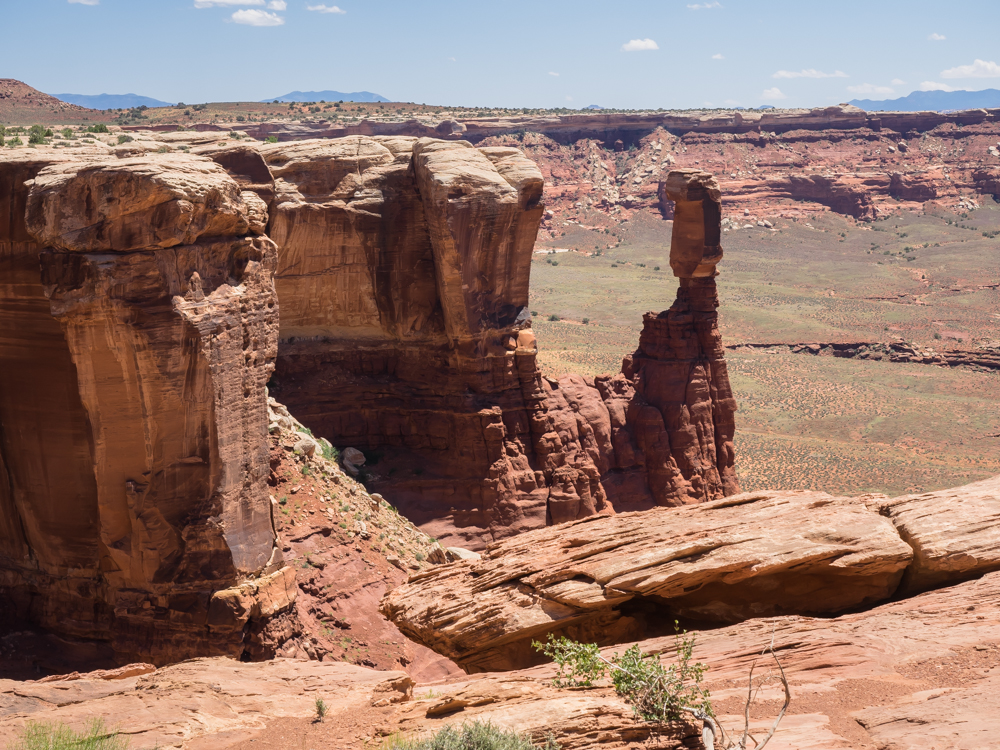
Our
photo stop gave us a clear view of the LaSal range to the
east. The effect of the harder caprock is clear from the
many totem pole structures.
Every
side canyon had steep walls and the erosion had spawned totem
poles.
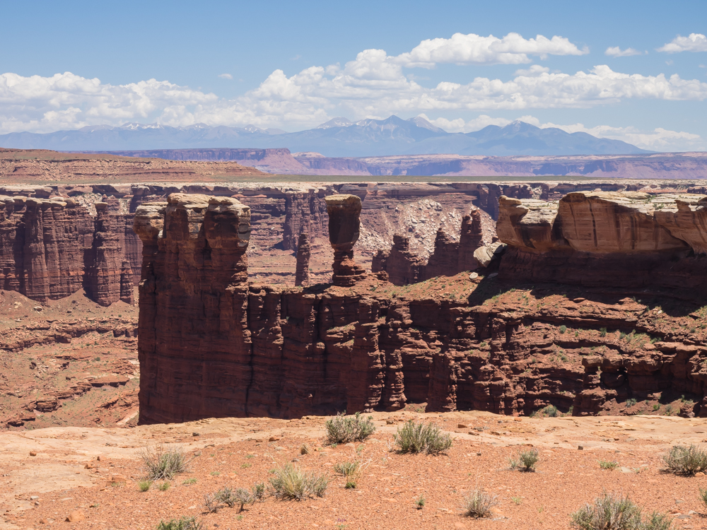
Further
to the west, the nature of the cliffs changed as the upper
strata fell away.

The hard
caprock overlying softer strata produced many curious
formations. This one is sufficiently unique that I am sure
it has a name, but I do not know it.
Note the
hook shape on the hoodoo to the right of center. The
softer strata below has eroded and the caprock failed leaving a
sharp edge.
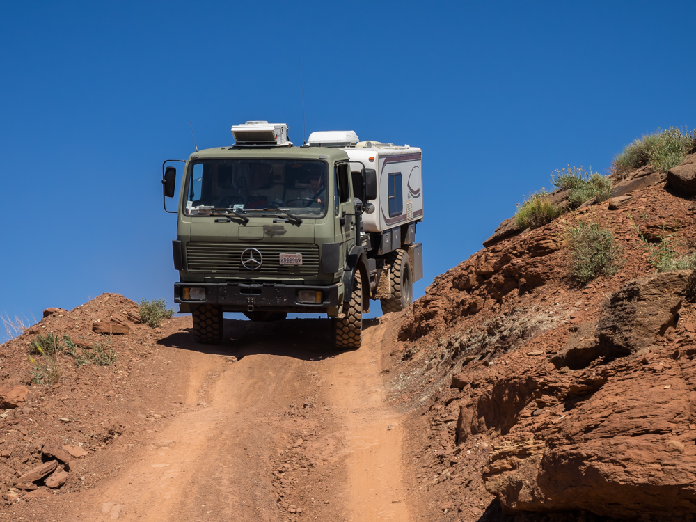
Oh my! We did not have the
presence of mind to shoot a photo of this grade from the bottom
of the trail, but it was very steep and very narrow. And,
as a bonus, it was off camber leaning to the cliff side.
Excellent, in a sphincter-tightening way. We had to stop
and take several deep breaths when we cleared the grade.
This section is the "Murphy Hogback". Oh, take note that
what goes up must come down.
On the
other side of the hogback we were confronted with another grade
that was worse than the east side. Above, we arrived just
as a pickup was clearing the crest of the grade. It was
good that we met him here, because if we met him on the tight
portion of the grade it would have been ugly. This fellow was the
only oncoming vehicle that we met in 3 days on the trail and we
met him at the worst possible point. I assume that
Murphy's Law prevails on Murphy Hogback.
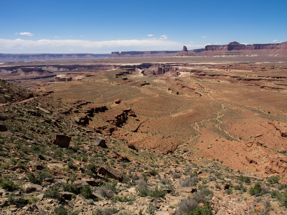
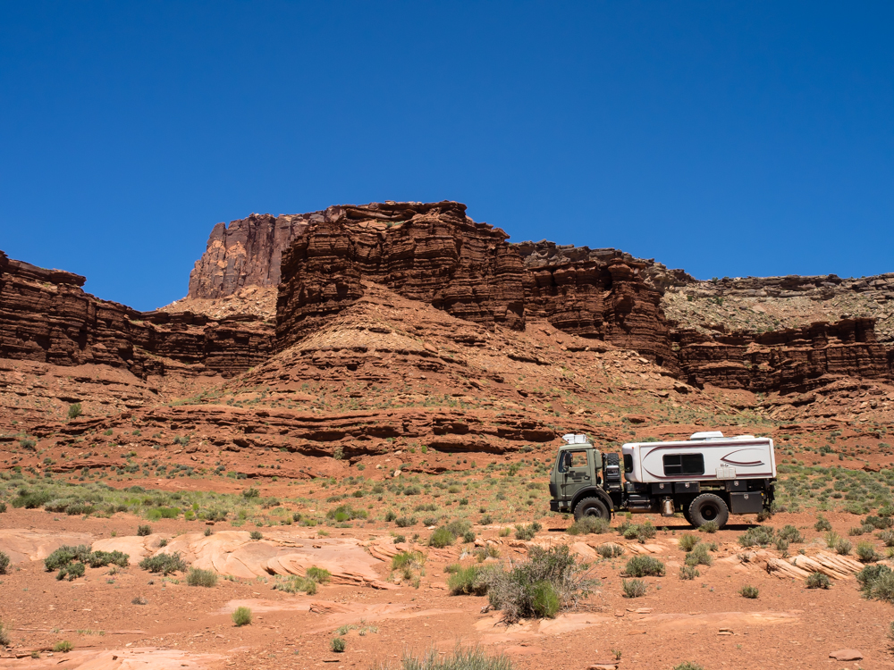
The view
looking generally west from the hogback. Our camp at
"Candlestick" is in the distance below the monolith. But
to get there, we have to descend the hogback.
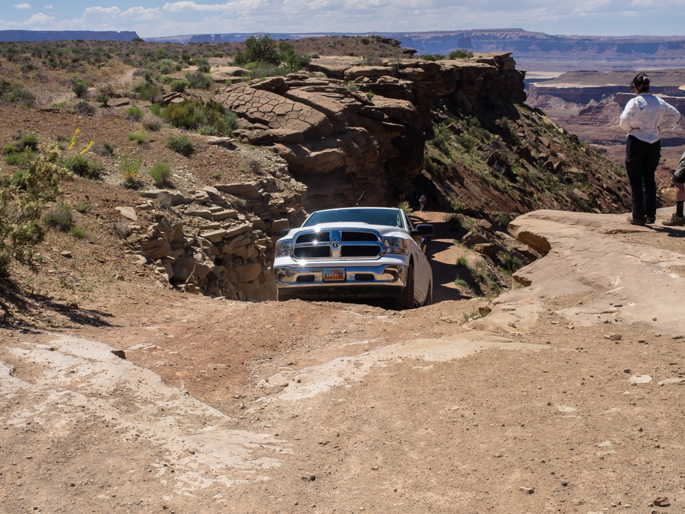
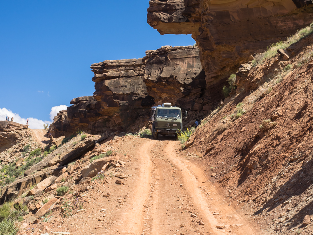
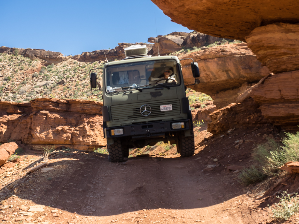
The
cliff next to the road is very steep and there were overhangs
that were in danger of impacting our cab/cabin. The good
news is that the camber of the road was toward the inside.
Above, I clear one of the rocks with only inches to spare.
The
grade was steep and required me to use low-low gear and the
exhaust brake to keep my speed under control.
Once the
initial ledges were cleared, it was not much of a problem
(except the very tight switchbacks that required multi-point
turns).
This
switchback was not a problem.
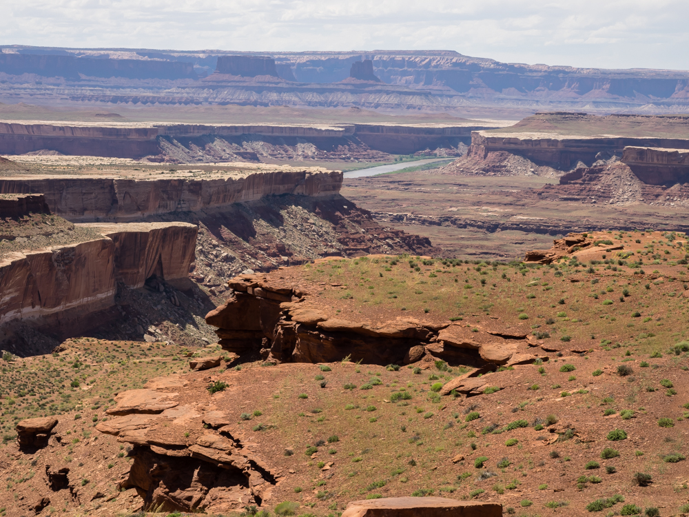
From
Kathleen's position spotting me, she could see the Green River
in the distance, but thought it was the Colorado.
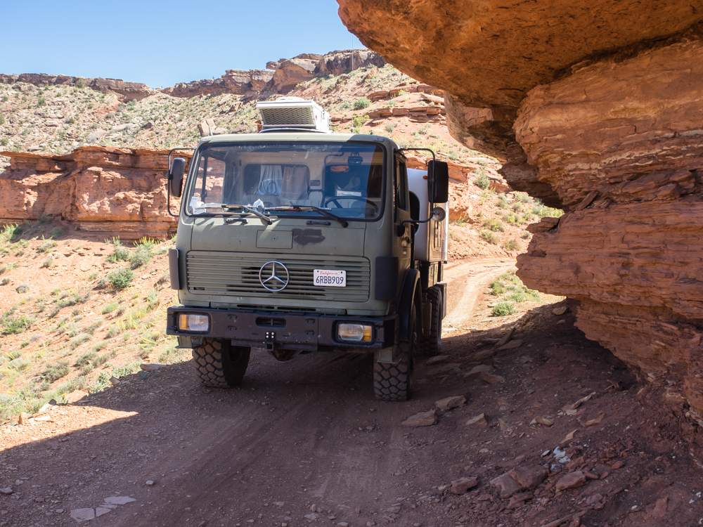
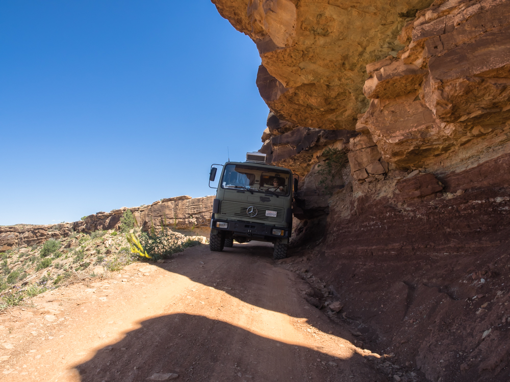
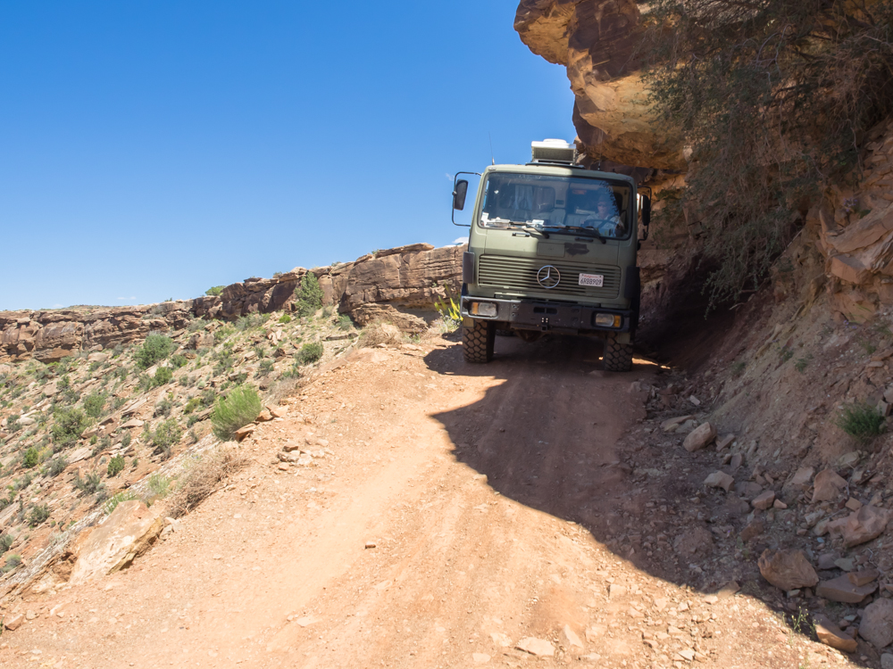
Further down the grade we
encountered another set of overhanging ledges on a narrow
section of the trail. Next to a steep drop-off, of course.
This
overhang had plenty of clearance, but it looked nasty.
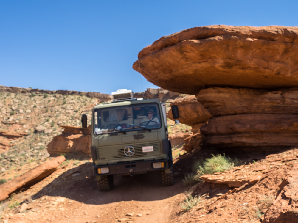
I did
scrape my antenna, but it was not that close overall.
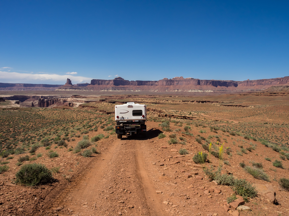
The
western flanks of the hogback were no problem and provided a
nice view of the monolith close to our assigned campsite for the
night.
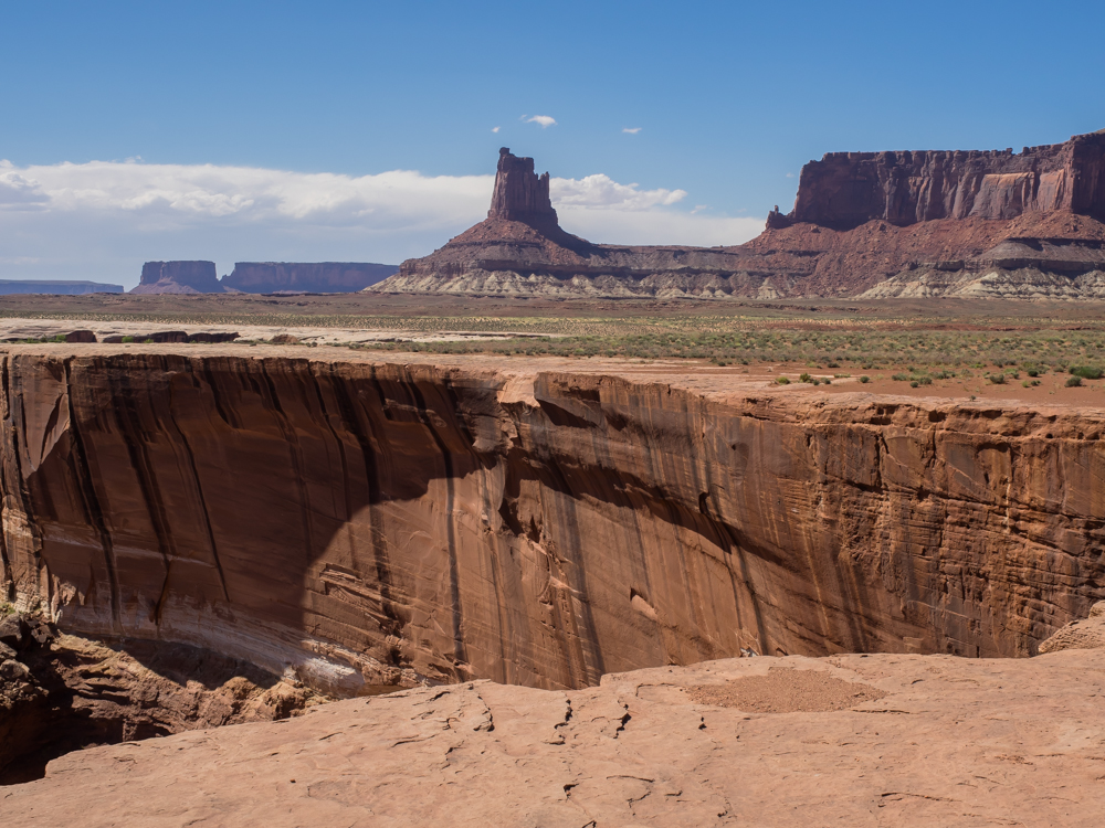
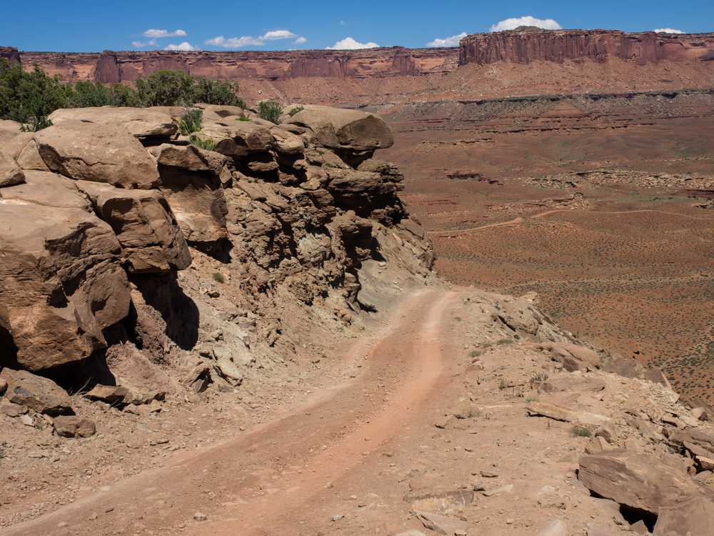
Typical
of this section of the White Rim Trail, the path skirted the
headwalls of the side canyons. This side canyon is both
deep and steep -- overhanging in fact.
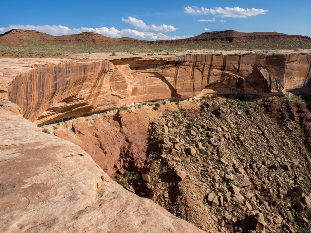
Above is
the headwall of the side canyon at Candlestick Camp about 25
meters from our campsite. No sleepwalking allowed!
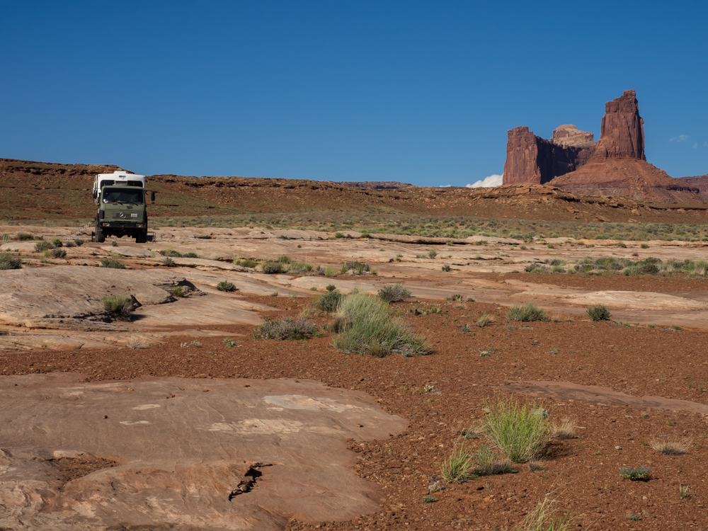
We chose
to set up on the slick rock so that our feet did not get muddy
during our outside showers. The monolith in the distance
provided an interesting background.
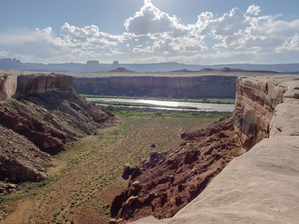
I walked
to the lip of the side canyon and was surprised that we could
see the Green River. I did not think we were that "close"
(300 foot vertical offset, minimum and a mile horizontal).
The Murphy
Hogback totally got my attention, both going up and going
down. As we would soon learn, it was not that hard or that
tight. Tomorrow the exit section of the trail will provide
a definition of both terms.
| Previous Adventure | ||
| Trip Home Page |
Photos and Text Copyright Bill Caid 2014, all rights
reserved.
For your enjoyment only, not for commercial use.