We spent the night near the boundary of the Goblin Valley State Park. The park was
full, so we retreated to a side road on BLM land
and found an isolated canyon for our camp.
Since it was Memorial Day weekend, there were
plenty of folks out and about and we had many
vehicles do a turn-around on our canyon.
One late arrival decided that our spot
was the least bad of the other
alternatives and set their
tent up quite close to us. But,
since we were leaving the next
morning, we ignored them.
From Goblin, we headed north on the
dirt toward the San Rafael Swell and then to
the Book Cliffs outside of
Price, UT.
The photos below are what we saw.
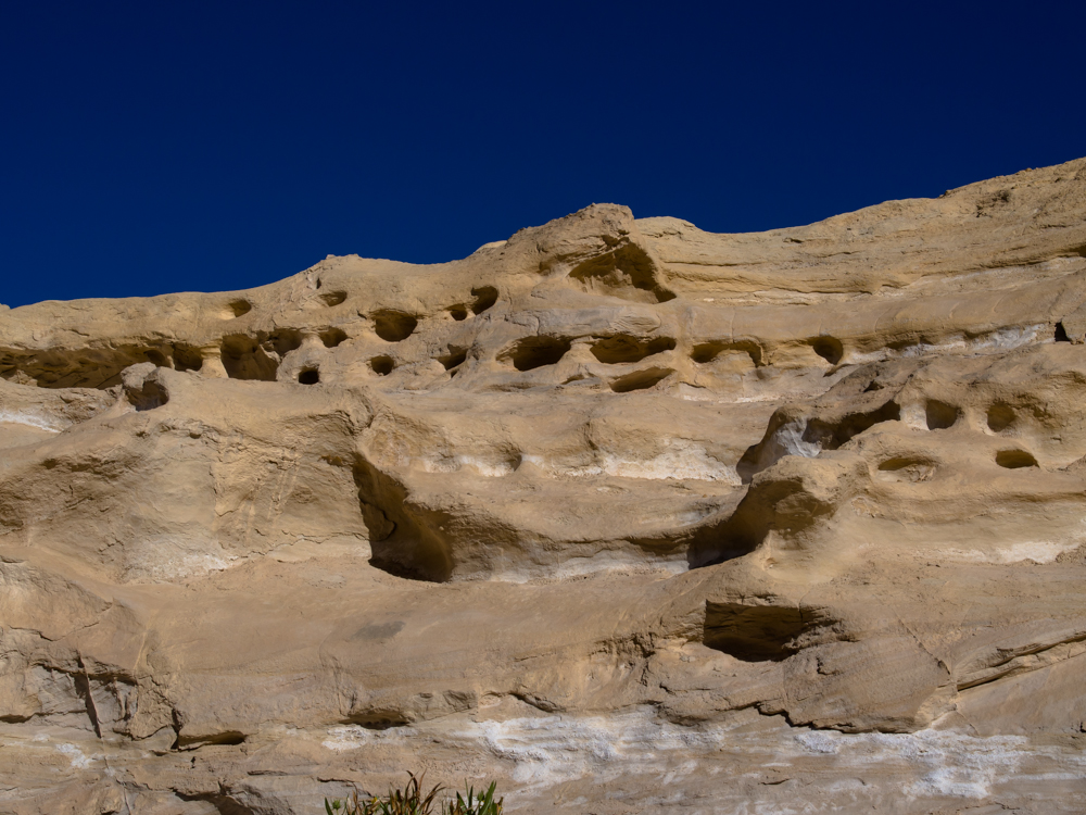
Our camp was in a small side canyon that
had interesting wind erosion in the canyon walls.
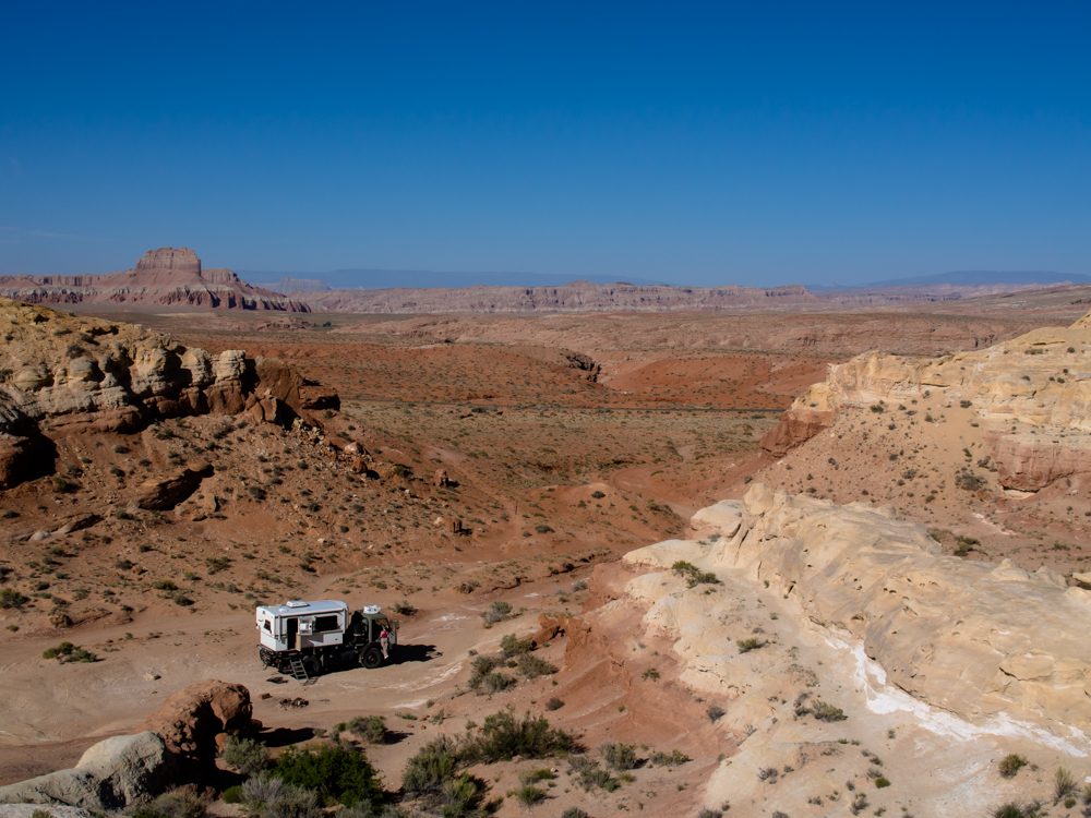
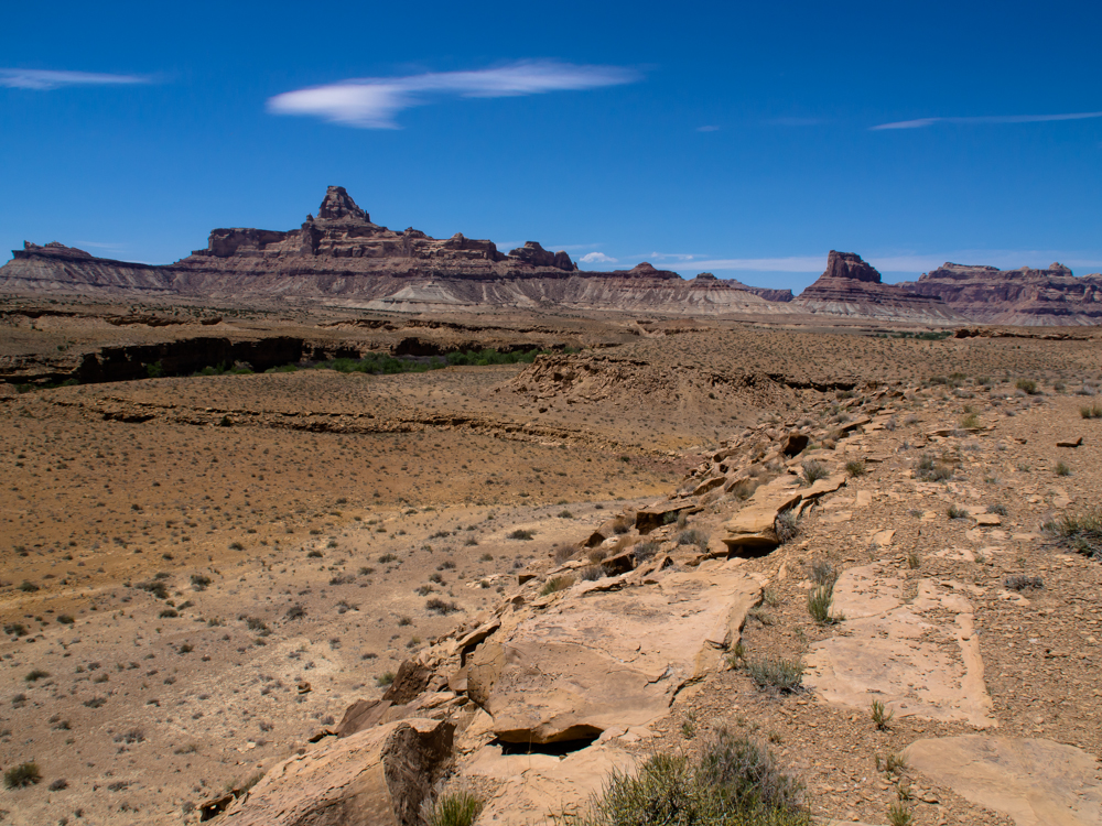
Looking to the west from a ridge above
our camp.
We broke camp and headed north on the
dirt toward I-70 and the San Rafael Swell. We saw many folks as
the road is good and frequently graded. Every SUV
was outfitted straight out of REI with Yakima roof boxes and
bike
racks. They were all in tents which was sad for
them because
the wind was blowing hard and sleeping in a flapping
tent is next to impossible. North of I-70 we
continued on the dirt to Buckhorn Draw and
the San Rafael river valley. There were many
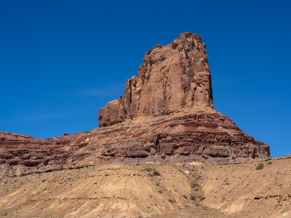
interesting formations along the route.
This formation was named "Bottleneck Butte".
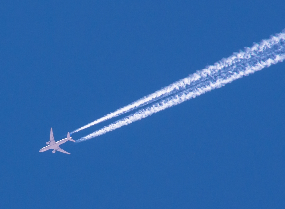
A commercial airliner crossed the skies at 30,000 feet making nice condensation trails.
There was a small parking area next to
the San Rafael river so we decided to check it out.
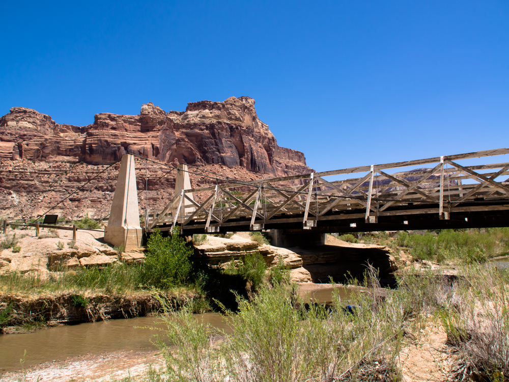
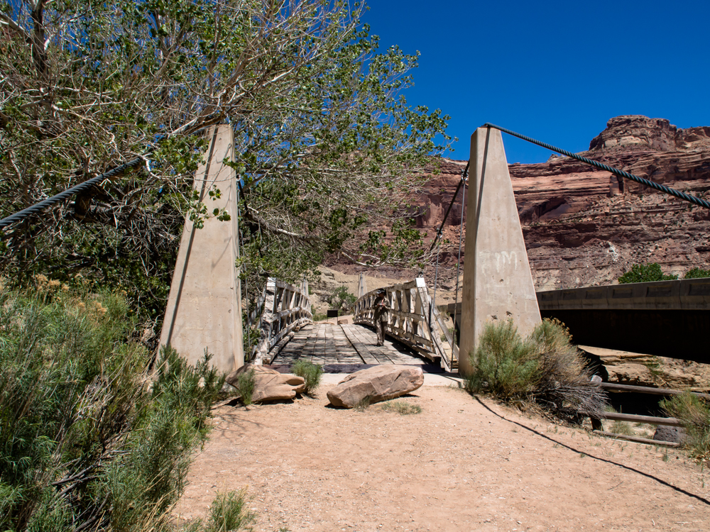
Back in the 1930s, the only way to cross
this river was via a ford. When the water was high,
you were essentially stranded on your side until the waters
receded.
This historical
bridge was built in the 1930s to service the ranchers in
the area.
The bridge was
flanked by huge sandstone cliffs left by the erosion of the
San Rafael river.
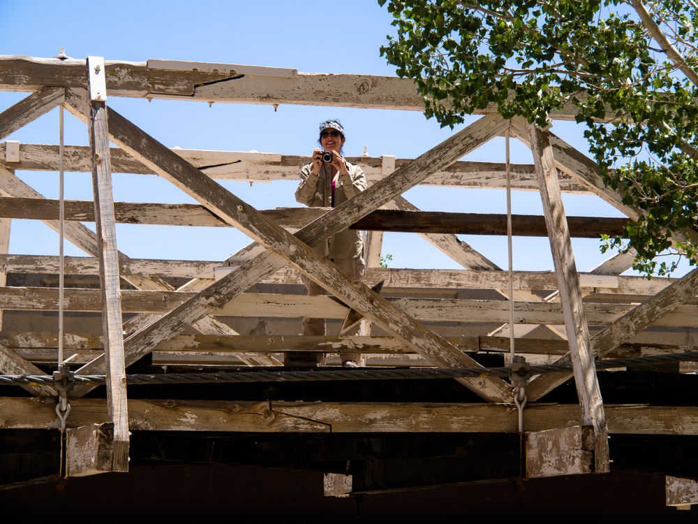
Kathleen wanted to take a photo of me
taking photos. Note the timber structure of the bridge and the
support cables.
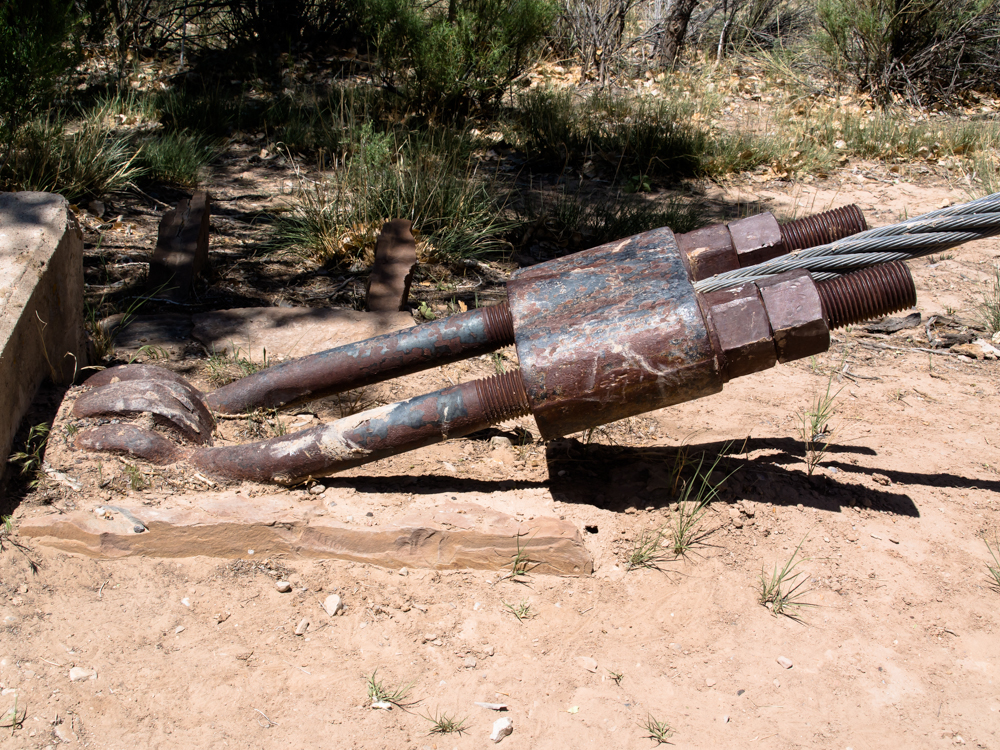
The side anchors were huge iron castings with a
beefy tensioning system.
Even when new, I doubt that this bridge could
support Thor's 20,000 weight.
A BLM ranger flagged us down and wanted
to check out Thor.
He asked if we
had been to Overland Expo in Flagstaff and generally
wanted to see the truck. Then, he led us to an area where he
thought we could camp. It WOULD have been a nice
spot on the river, but was occupied due to the Memorial Day
weekend. And so were all the other
spots. So, we drove down the river road and
took photos and then decided to head north. It
was early in the day for making camp
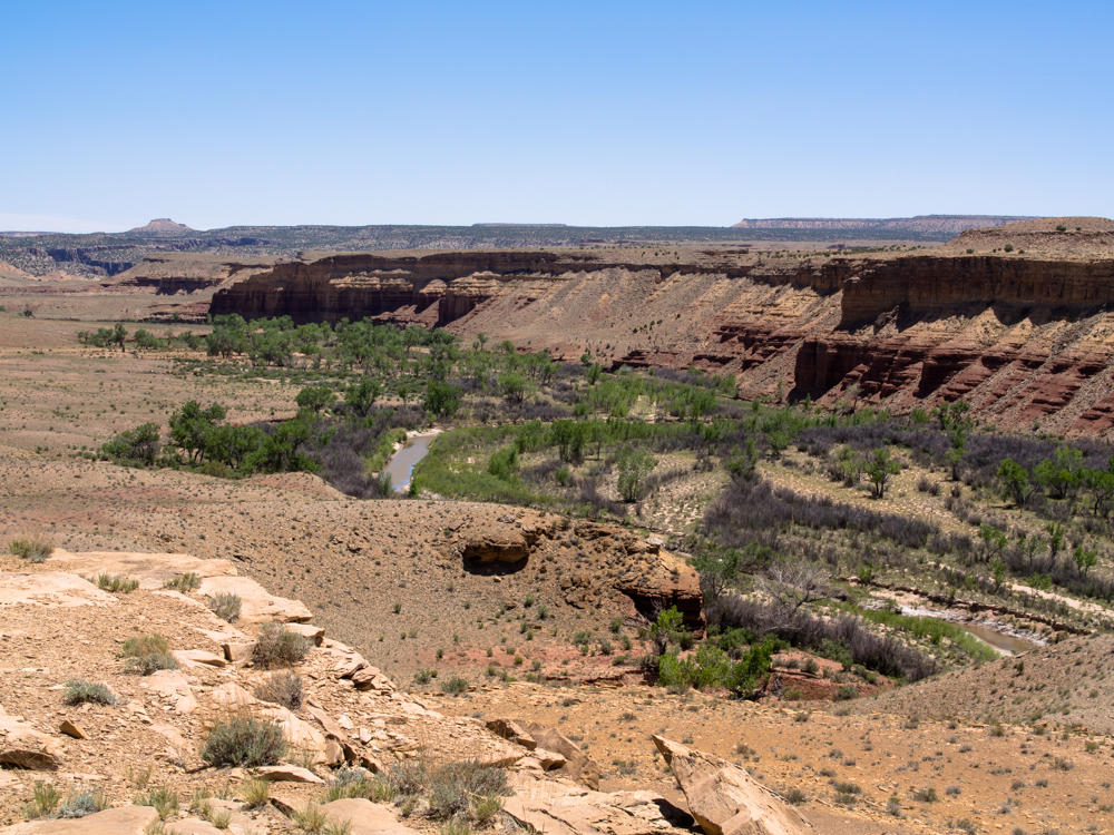
anyway. Above is a shot of the San Rafael
river valley a few miles east of the
historical bridge.
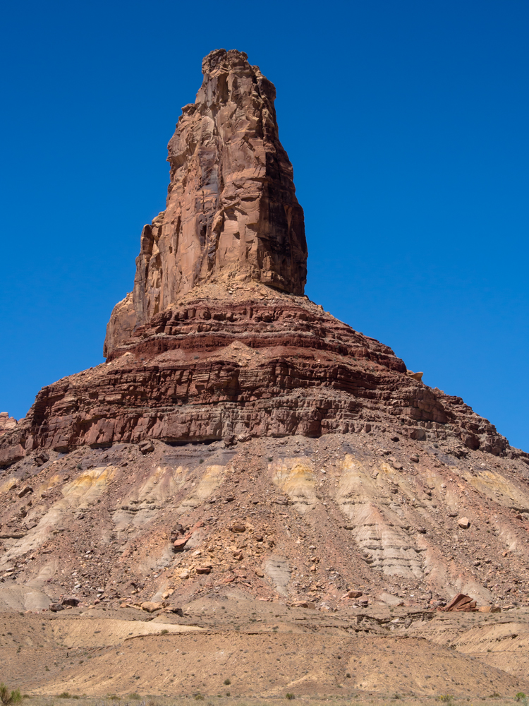
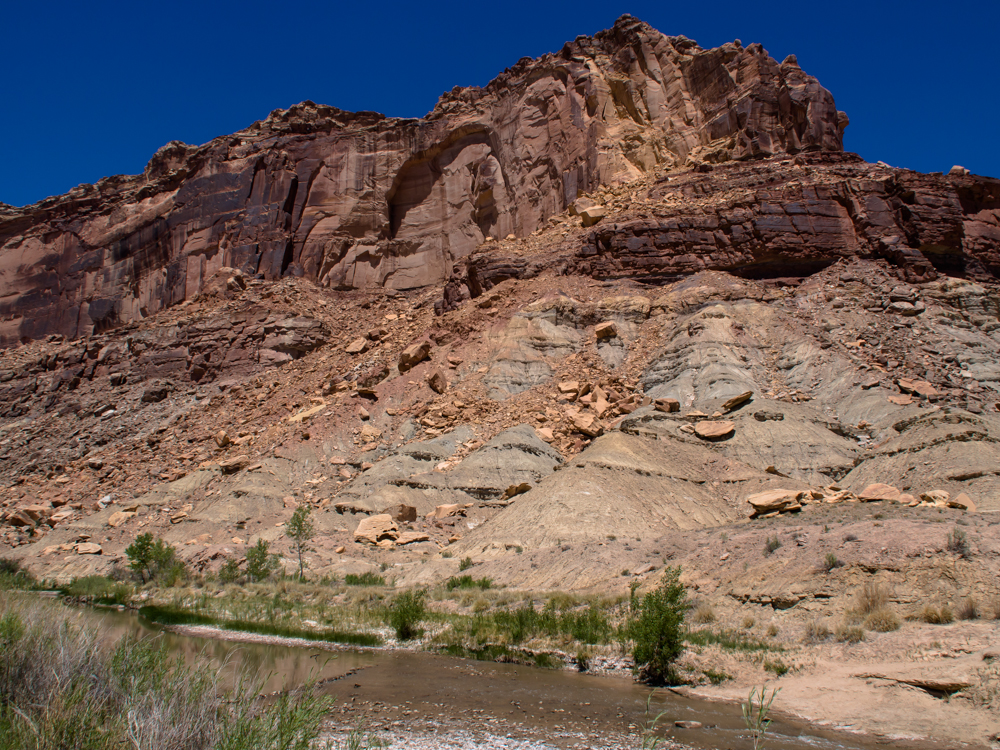
Further down the river road we got nice
views of the surrounding cliffs and formations.
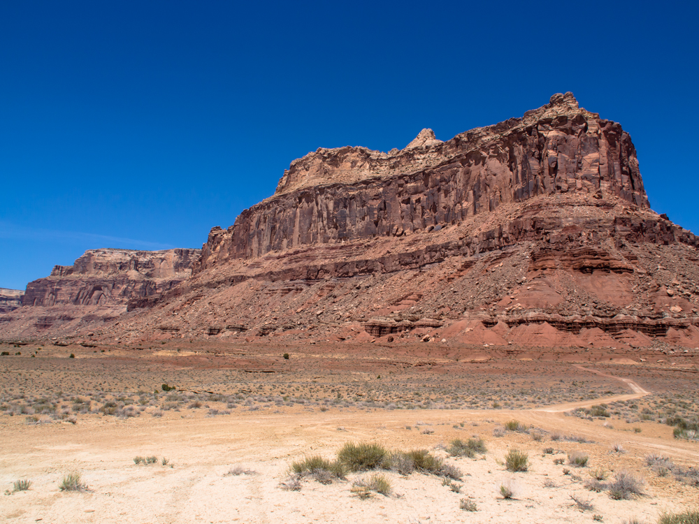
This was a massive structure and
dominated the entire valley.
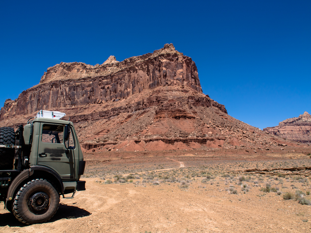
Thor was liking the road and surely he
enjoyed the view as much as we did.
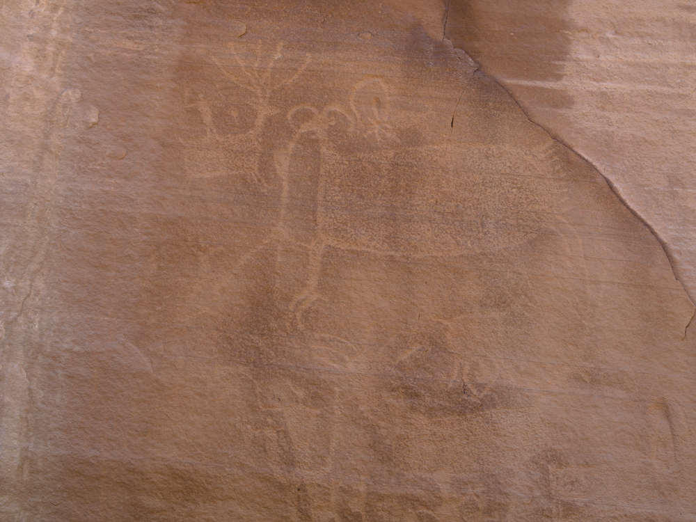
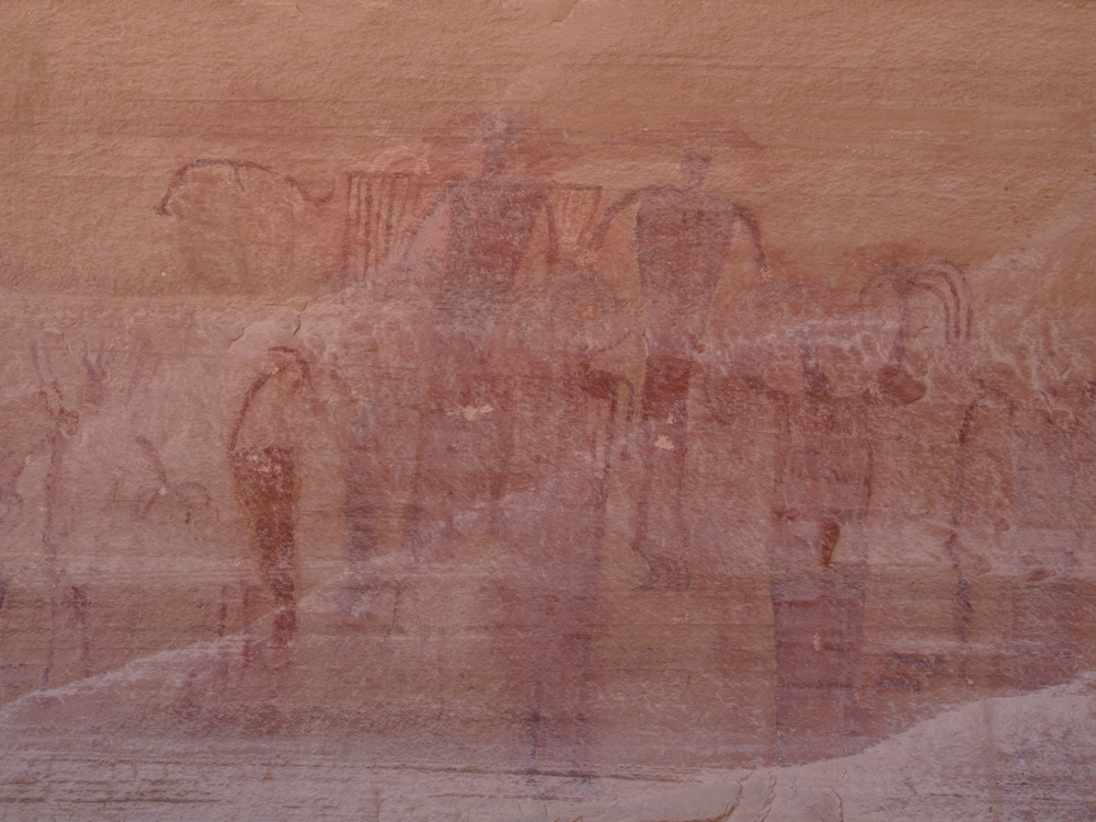
Further north up Buckhorn Draw we came to a large petroglyph
panel at the bottom of the canyon. There were
several styles of art depicted on the panel. The
photo above shows the "pecking" style where a sharp, pointed rock
is used to peck holes into the wall to form the
image.
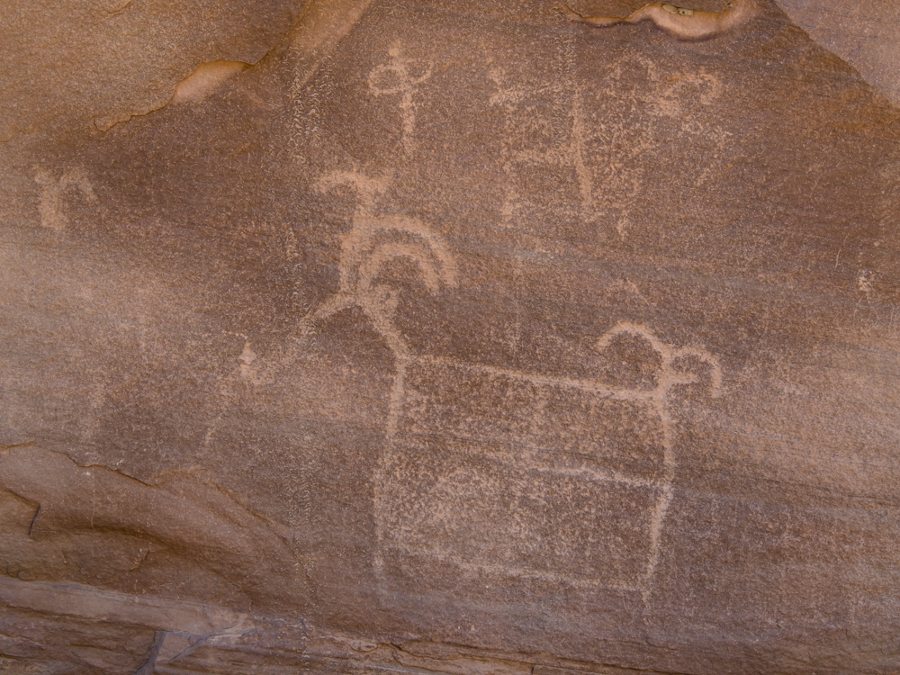
The sheep are stylized, of course, but the icon at the
top (the oval
with the line
through it)
is relatively common in rock art throughout the
west. I have no idea what it symbolizes.
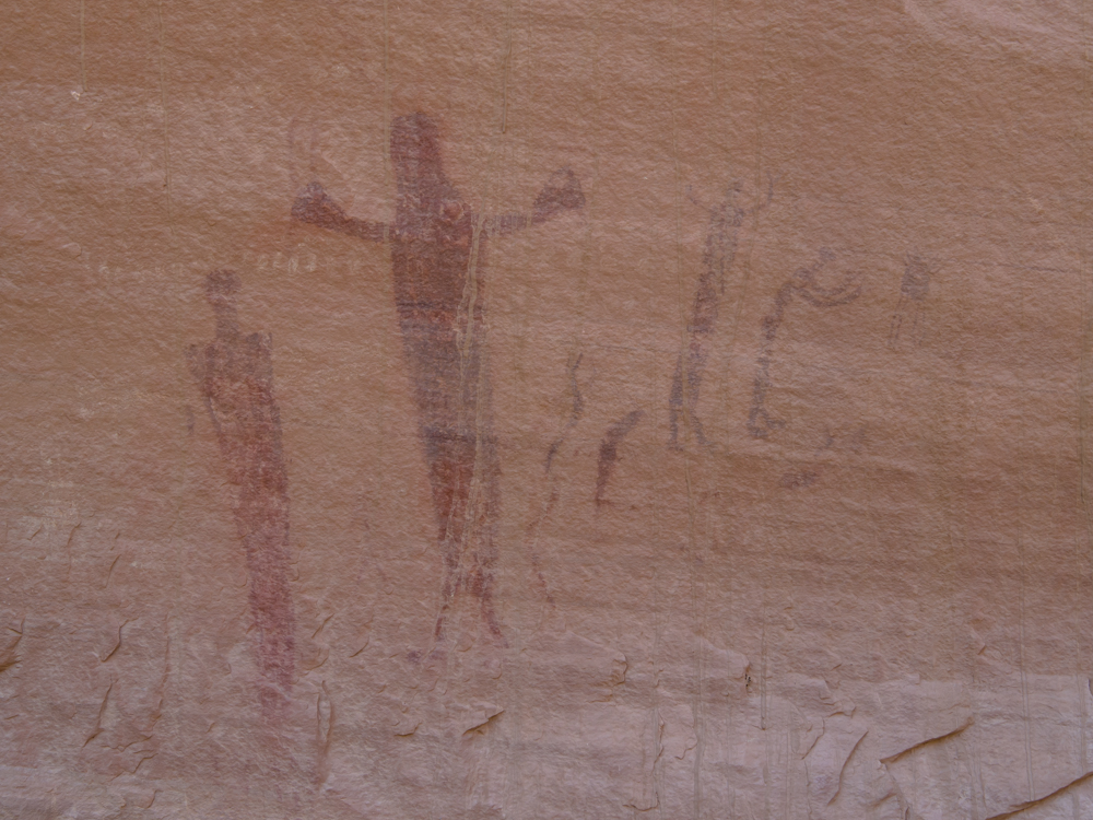
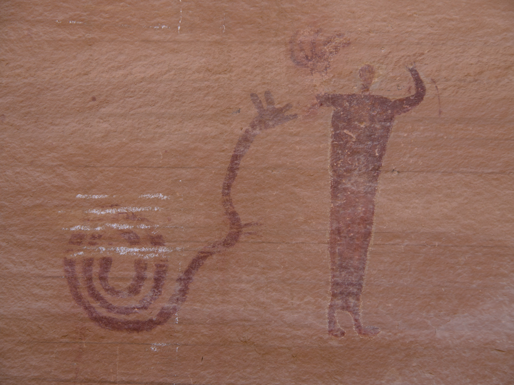
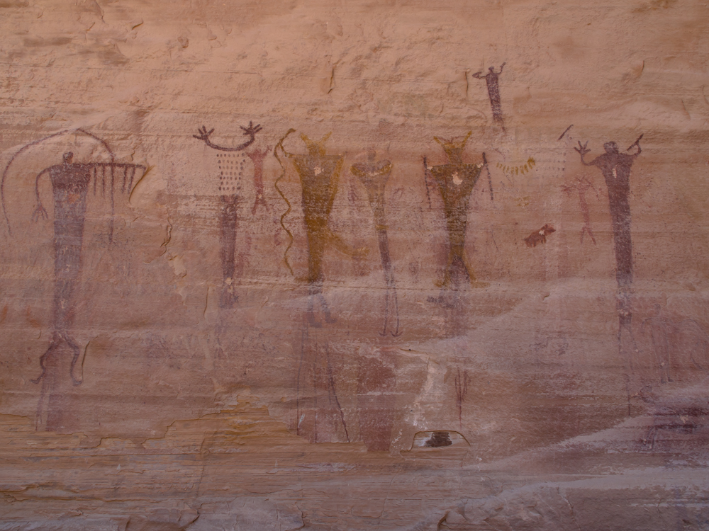
The second style of art is based on a pigment which
is then applied to the rock wall using a brush made from pounded wood fibers.
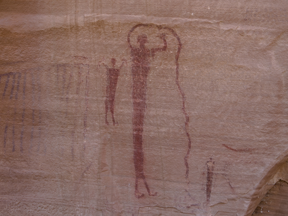
Several of the depictions were quite
detailed.
This stylized
snake had ears
or perhaps
it was a representation of the viper's horns.
This segment is starting to be damaged by water seepage.
This panel was very busy with lots of detail.
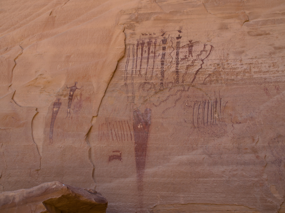
This panel was perhaps the most complex
of the set.
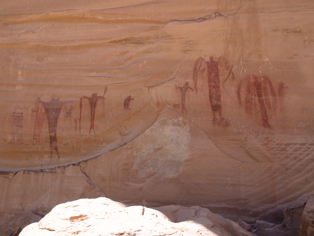
It is hard to imagine these NOT being
related to some shamanistic ritual.
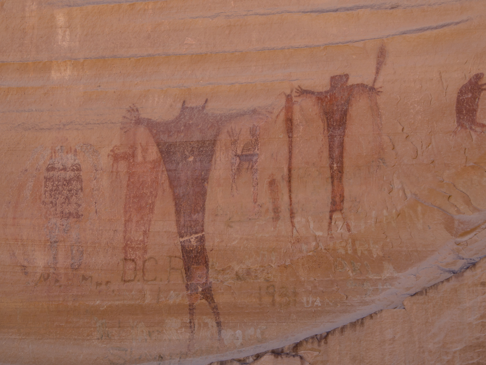
Note the graffitti at the bottom: 1931.
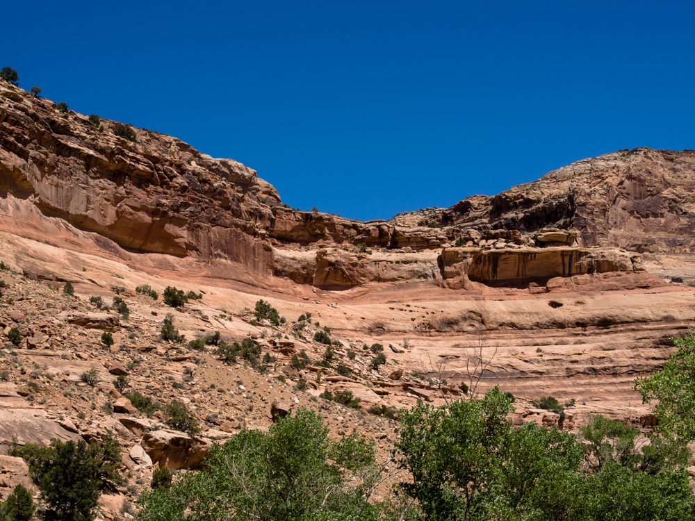
Continuing north up Buckhorn Draw, the canyon narrowed
with high walls.
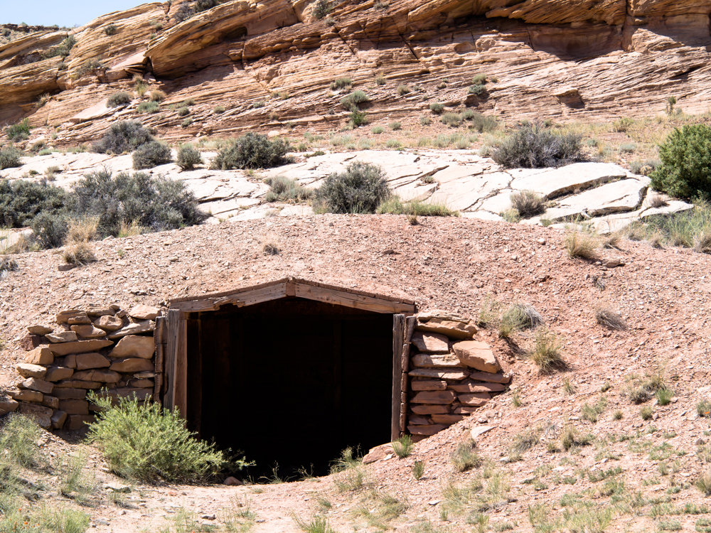
Near the north end of Buckhorn Draw we passed this
structure. At first I thought it was a mine entrance, but
inspection showed that it was likely a shelter.
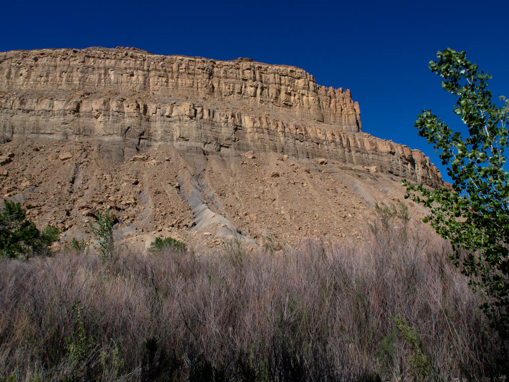
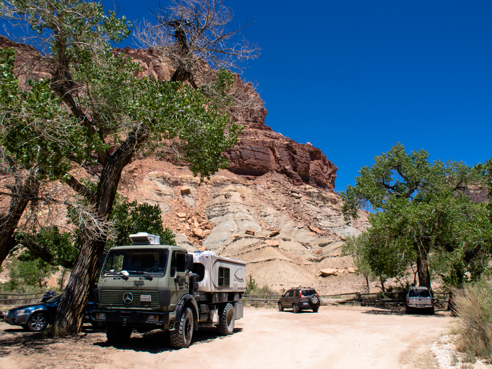
We traveled across the plateau and came to US highway 6 and then went north for a short bit until we hit a side road that followed the Price River. We were hoping for a shaded camp spot and after about 5 miles were rewarded with a sheltered spot with an awesome view of the Book Cliffs. This cliff is about a thousand feet high.
Buckhorn Draw is well worth the long dirt road required to see it. The road was in great shape and was clearly a well-know attraction to the locals. But, vehicle traffic notwithstanding, the scenery was awesome.| Previous Adventure | ||
| Trip Home Page |
Photos and Text Copyright Bill Caid 2013,
all rights reserved.
For your enjoyment only, not for commercial use.