
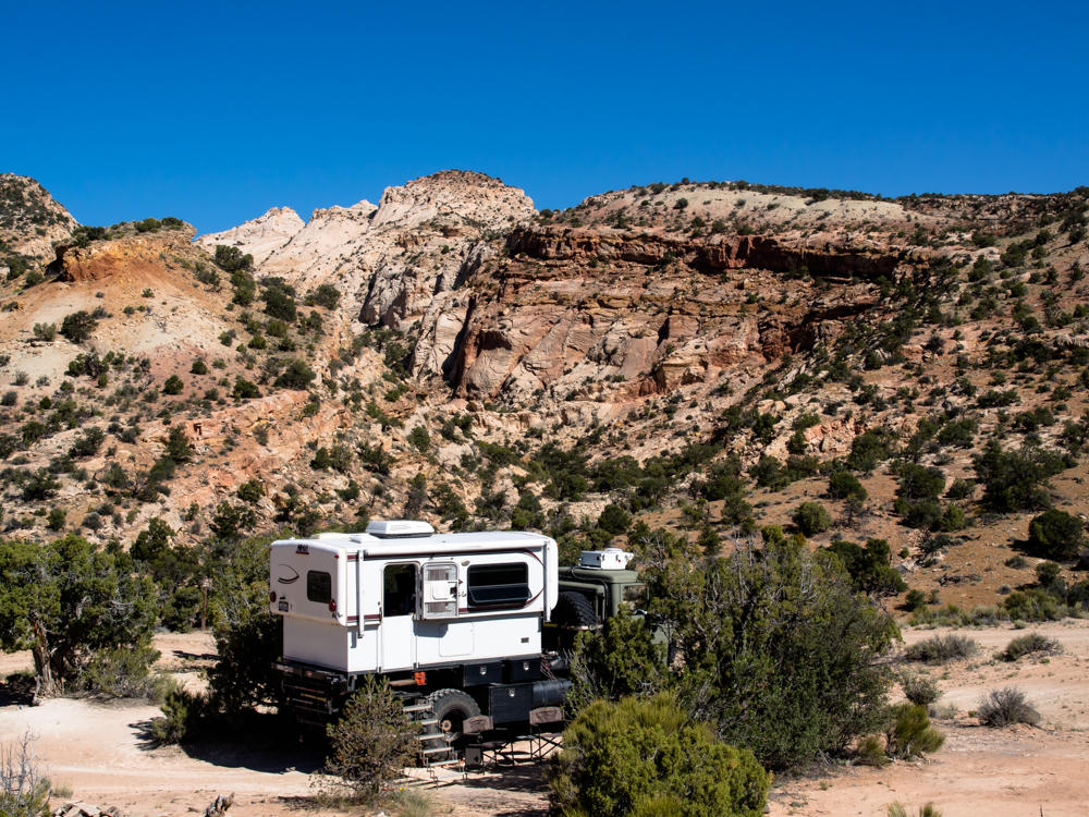
We spent the night near the boundary of the Capital Reef NP on a flat spot
on a side road. The road was rather rough and
for the first time on this trip I used four wheel
drive "just to be sure". When we
broke camp the next morning, we headed north
and then west into Torrey and Loa, UT for a
re-supply. We needed to
do a "drain and fill" on blackwater,
fuel and fresh water.
From Loa, we headed north into the
1000 Lakes Mountain and then east
again into the
Cathedral Valley.
The photos below are what we saw.
From a small ridge close to our camp, I
saw the moon
rising over the Henry Mountains.
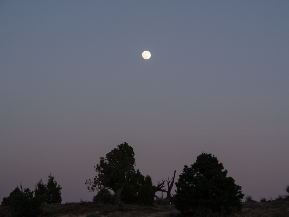
The moon was full and provided nice lighting to an
otherwise dark location.
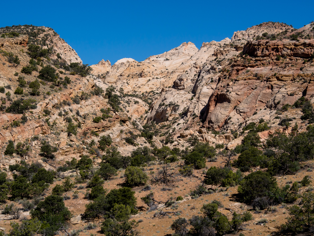
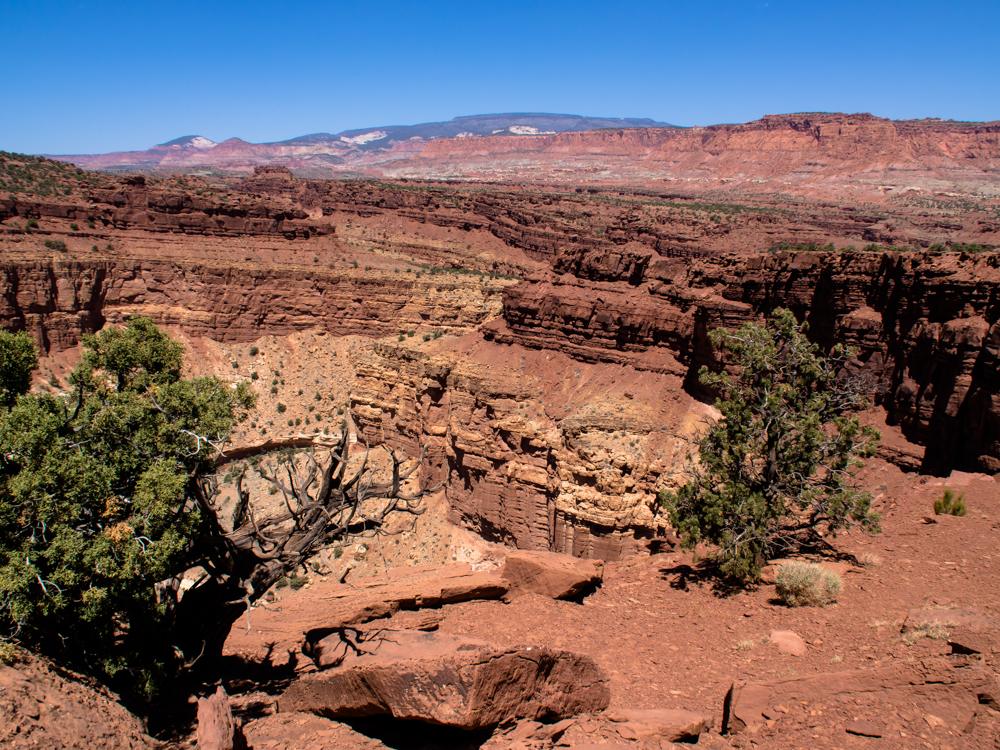
Next morning, we got a
full view of Oak
Creek Canyon where the road dead-ends just about .5 miles from our camp.
We were all by ourselves
and got a chance to exercise the outdoor shower capability of Thor's
camper.
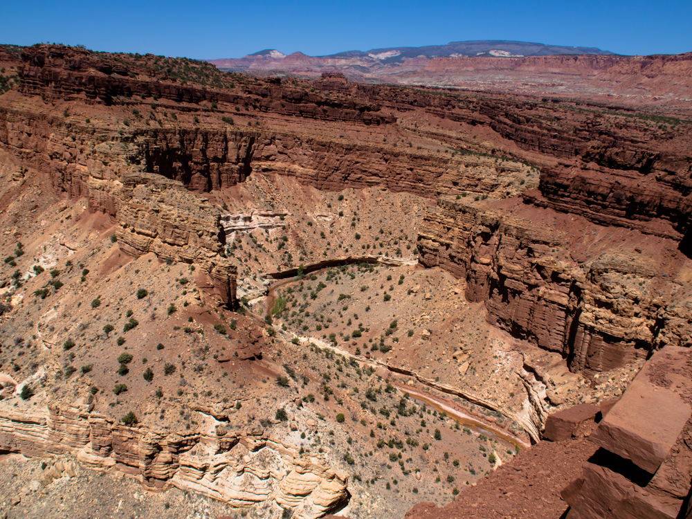
We headed east back down the canyon to the Burr Trail and turned north, then west to
Torrey. Outside Torrey, UT we saw a sign for an overlook
so we decided to check it out. Sulphur
Creek carved this nice canyon. 1000
Lakes Mountain is visible in the
distance.
Another view of Sulphur Creek canyon.
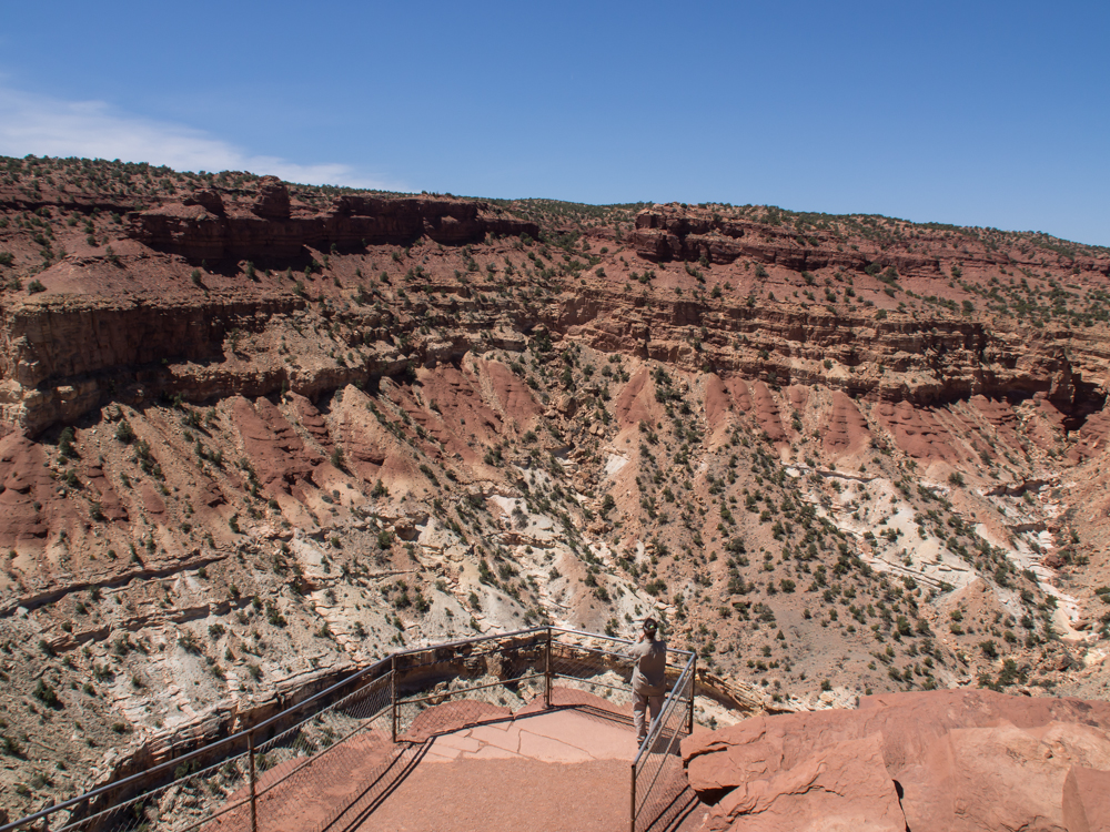
Kathleen takes a photo
from the view point.
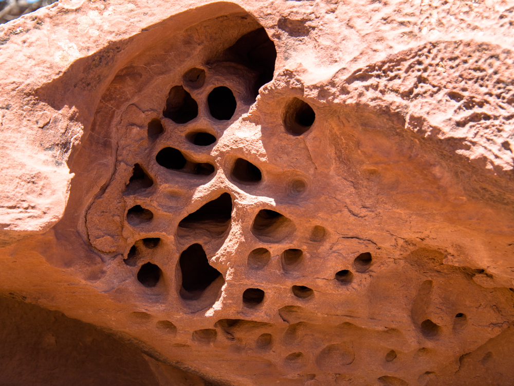
On the trail back to Thor, I spotted these
interesting erosion
patterns in the
rocks.
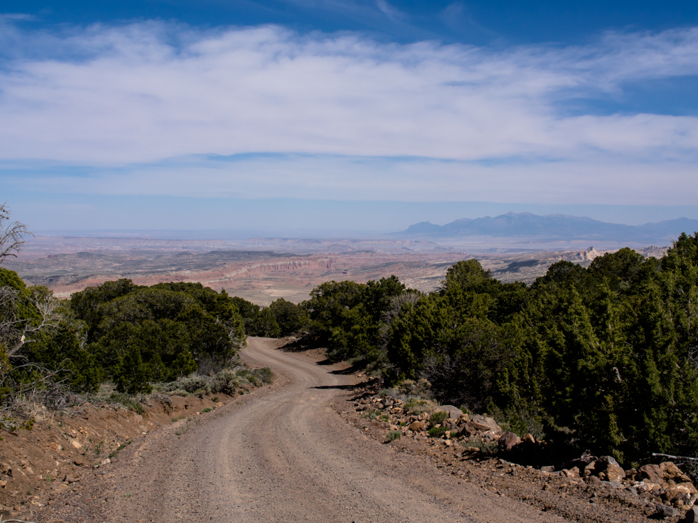
We did a full re-supply
stop in Torrey and Loa and then headed into the 1000 Lakes Mountain.
From the eastern slope into Cathedral Valley we got a nice view of the
Burr Desert to
the east. At the point where this photo was taken, our
elevation was about 9500 feet. The desert
floor is about 5000 feet.
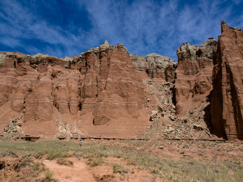
Before we came to our
campsite at Cathedral Valley, we hit a viewpoint on one of the
cliffs. The soft rock underlying the harder cap rock results in
these steep cliffs.
The far plateaus are over 10,000
feet.
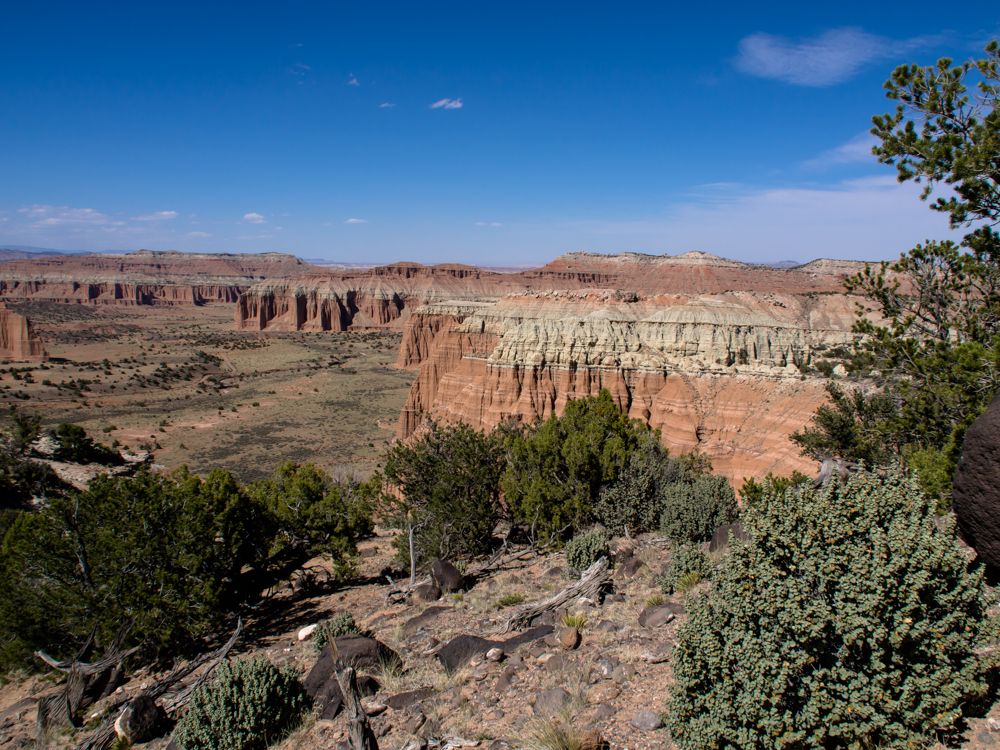
The campsite was on the cap rock and we would
not descend the cliff until the following morning.
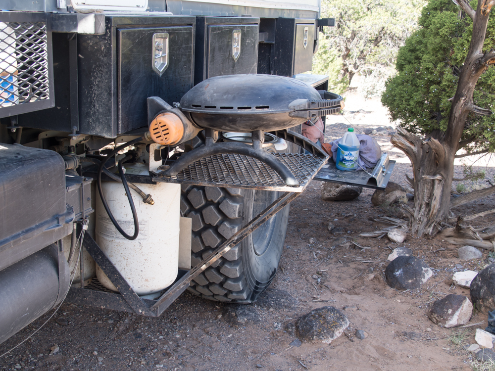
We used our BBQ setup for the
first time this trip. The wind was strong and I was
fearful that the flame would
blow out. But it did not. We bought a rib eye steak cut from local
grass-fed
beef in Torrey and it was awesome. The Utes
know how to do beef.
After a windy night, we
broke camp and started
our descent into Cathedral
Valley. On the down grade we got this nice view.
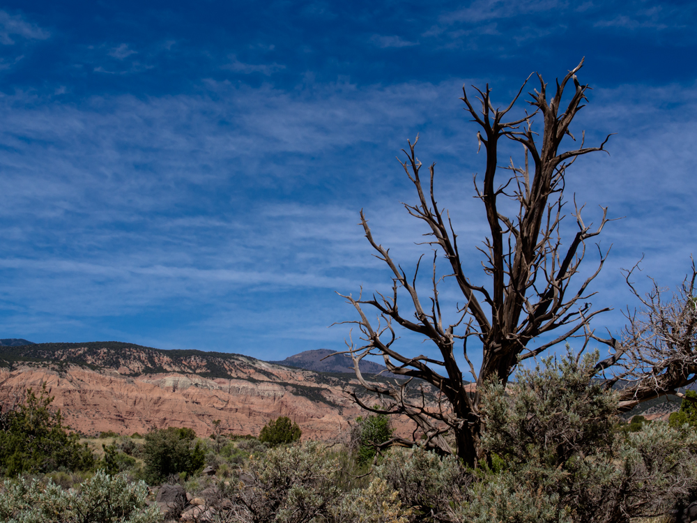
The branches of the dead tree
provide a stark
contrast to the vivid blue of the sky and the red cliffs.
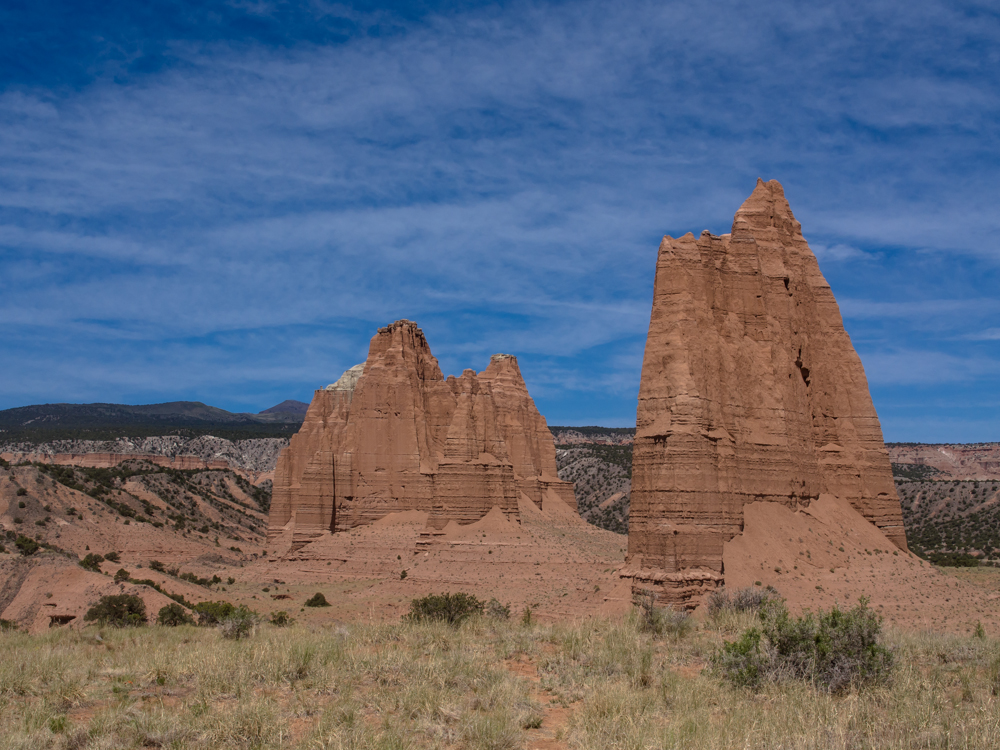
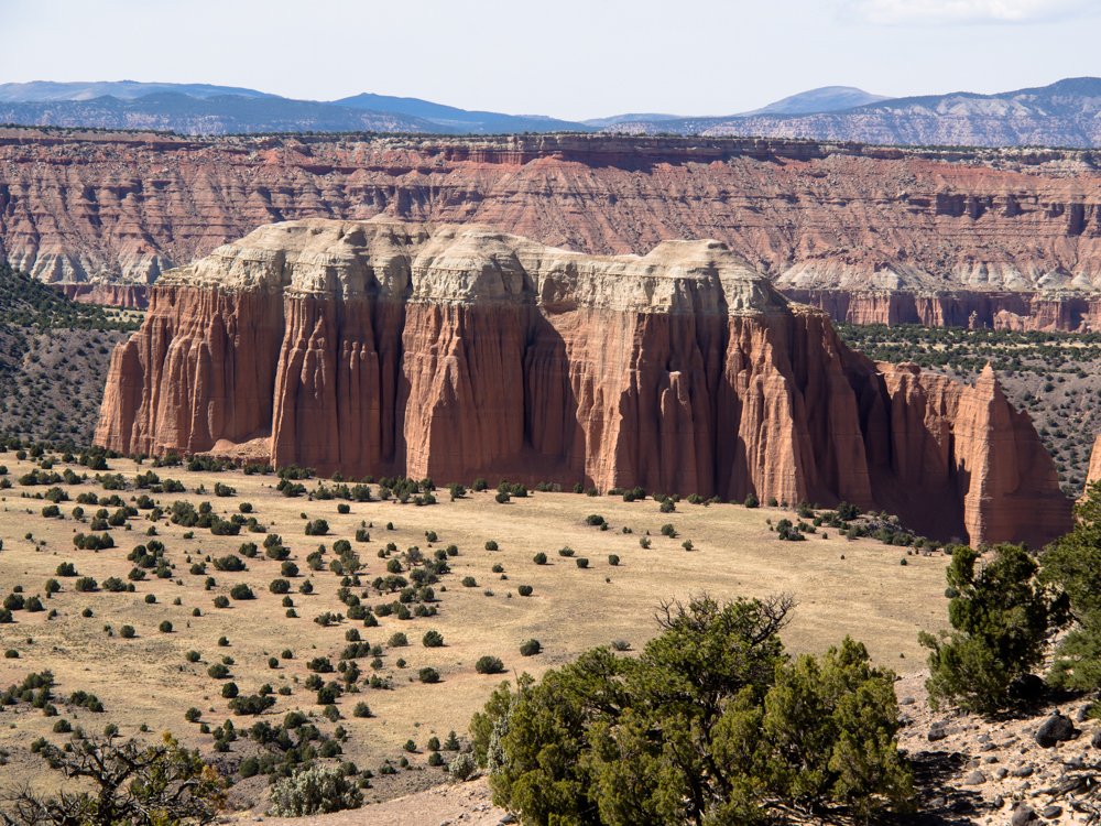
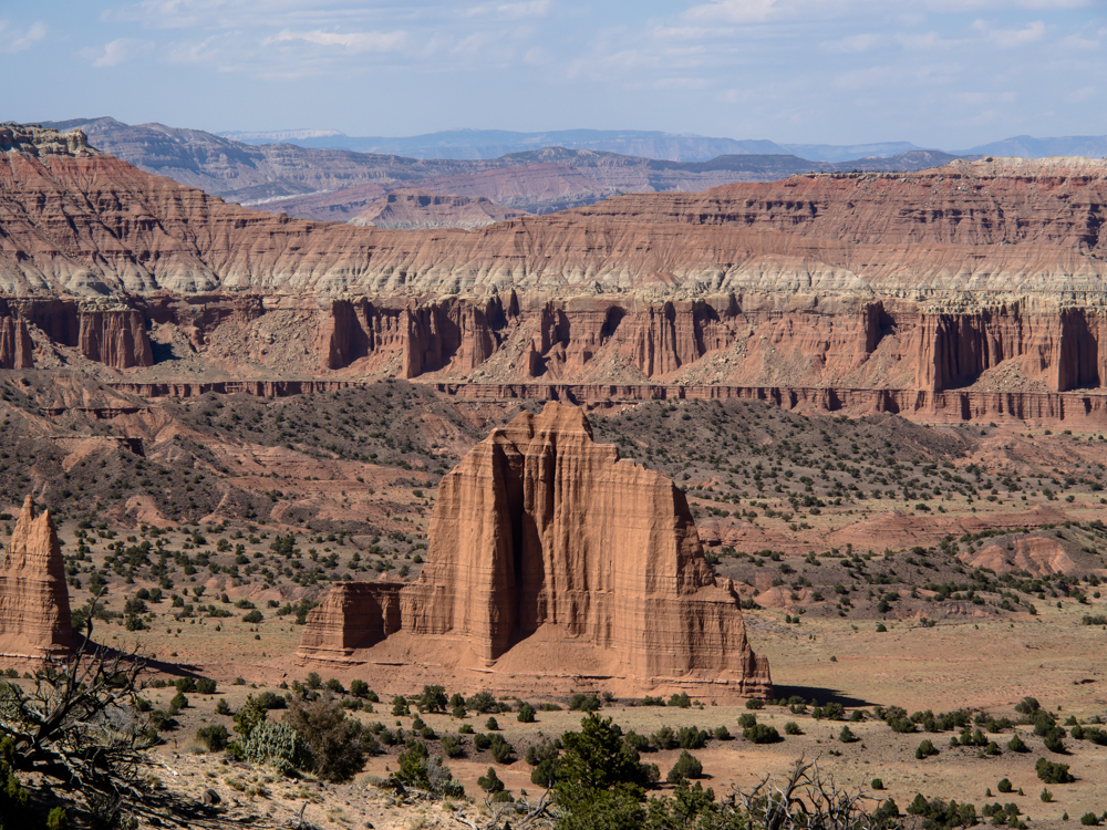
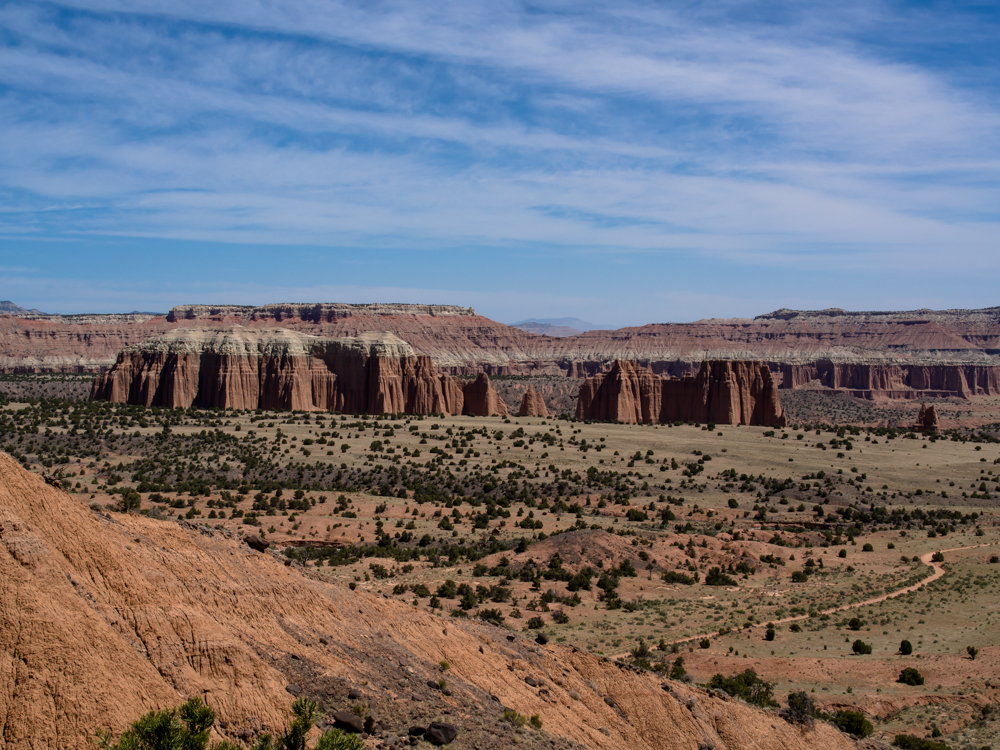
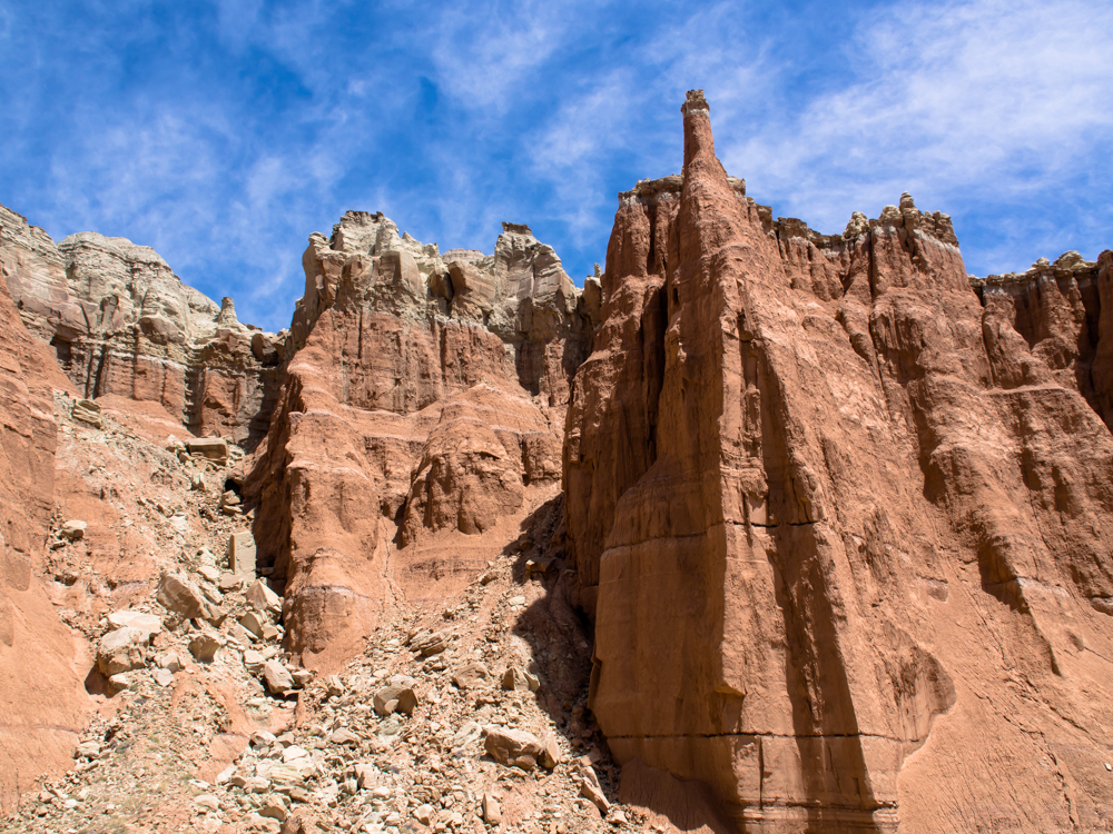
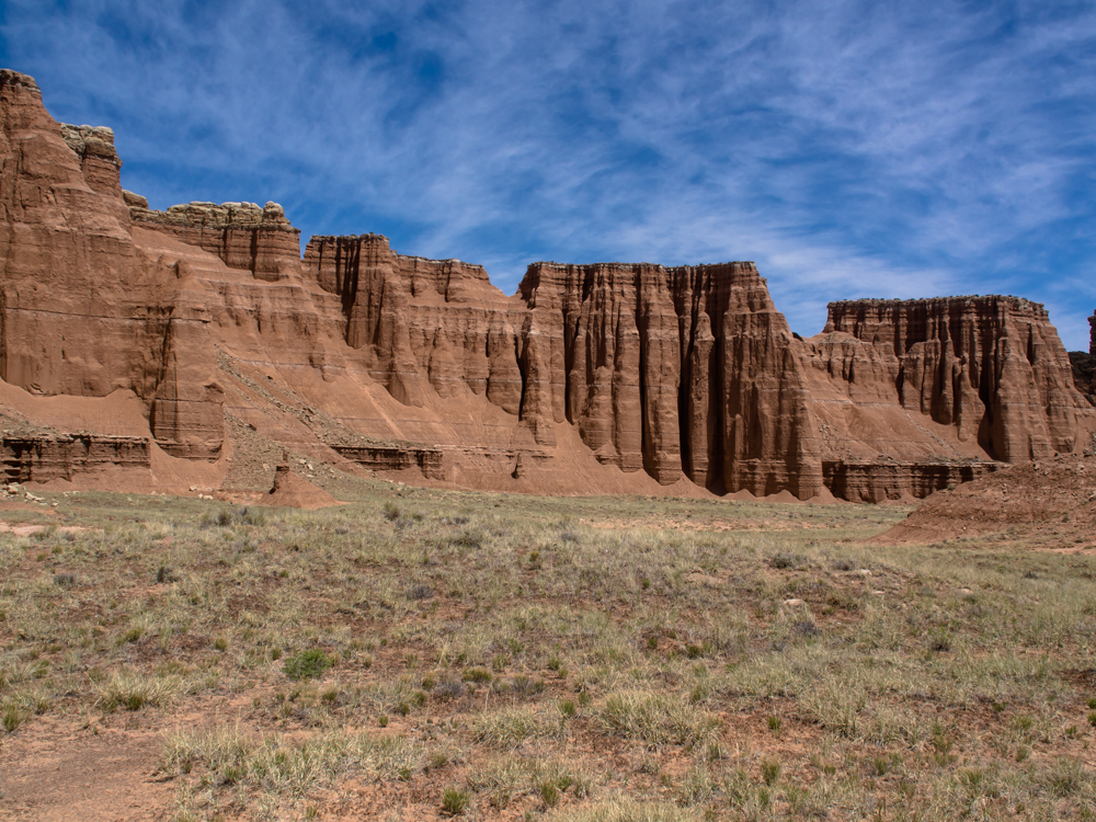
Once we were on the floor of the
valley, we got better views of the hoodoos.
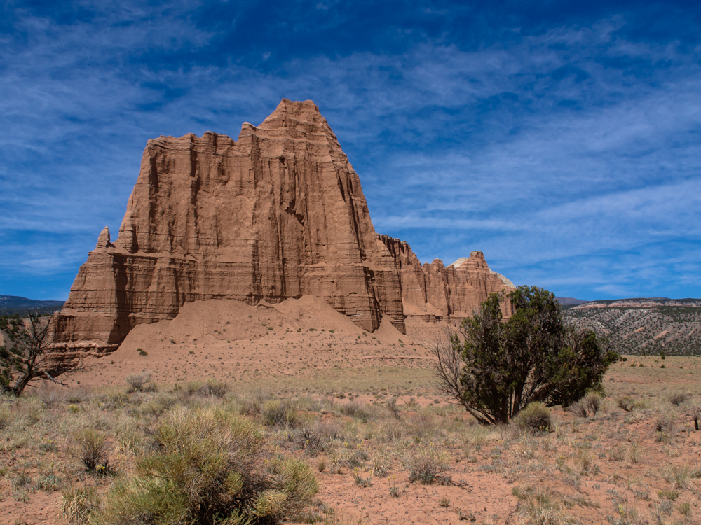
There were many structures
like this one, rising many hundreds of feet from the valley
floor.
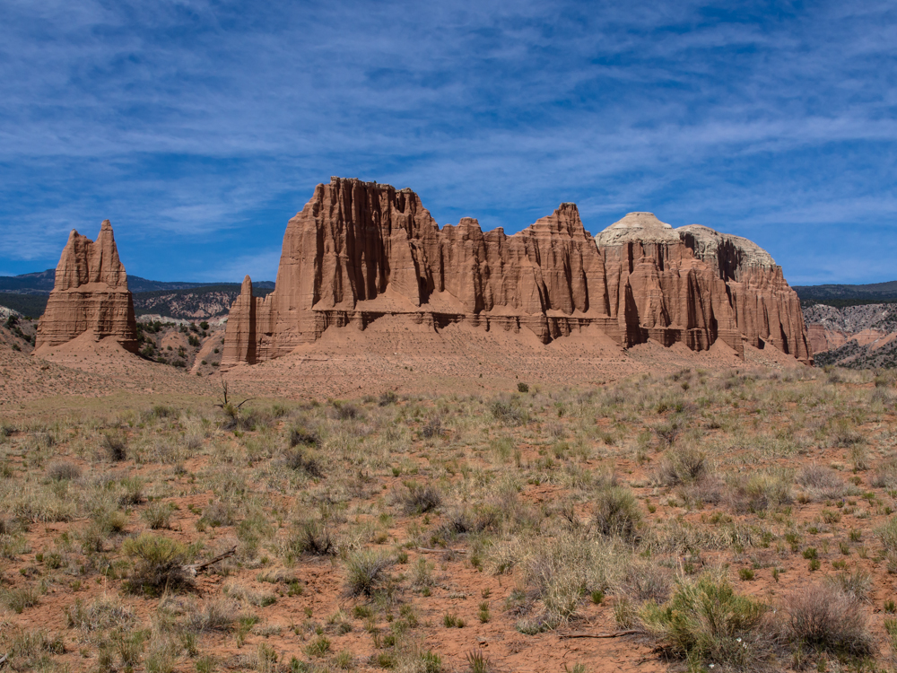
The "rock" comprising
these structures is basically just consolidated dirt. But, when covered
with a harder cap rock, interesting structures evolve.
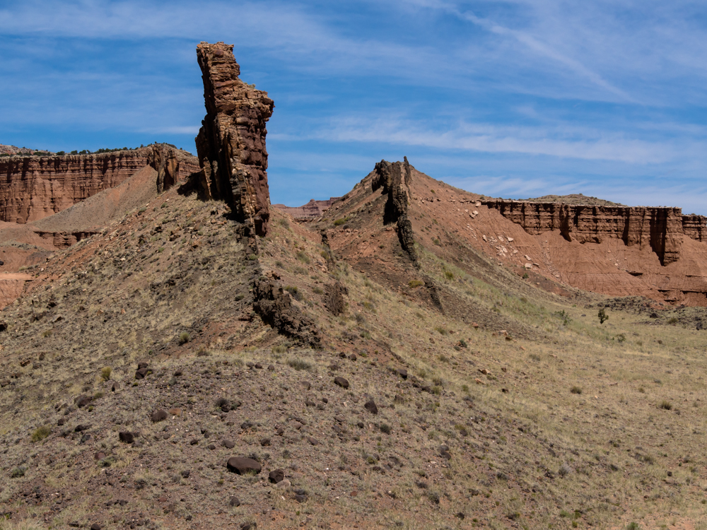
There was plenty of evidence of a history
of volcanism in the area. En-route to a point of
interest, we came
upon this volcanic
dike. Note that there were 3 planes of
intrusion.
Since the volcanic rock is much
harder than the surrounding material, erosion reveals the intrusion
plane.
We stopped to inspect a gypsum sink hole.
The height of the cliffs in the distance can be estimated in terms
of Thor-multiples (about 10 feet to the roof of the
cab).
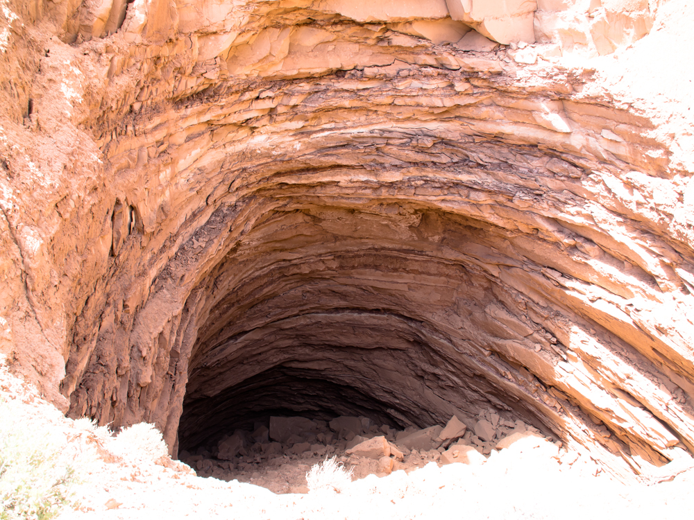
The gypsum sink hole was quite large, perhaps 30
meters across and at least twice that in depth.
Since the walls of the surrounding rock is weak and friable, we gave
the edge wide berth.
There was a cul-de-sac canyon at the
sinkhole.
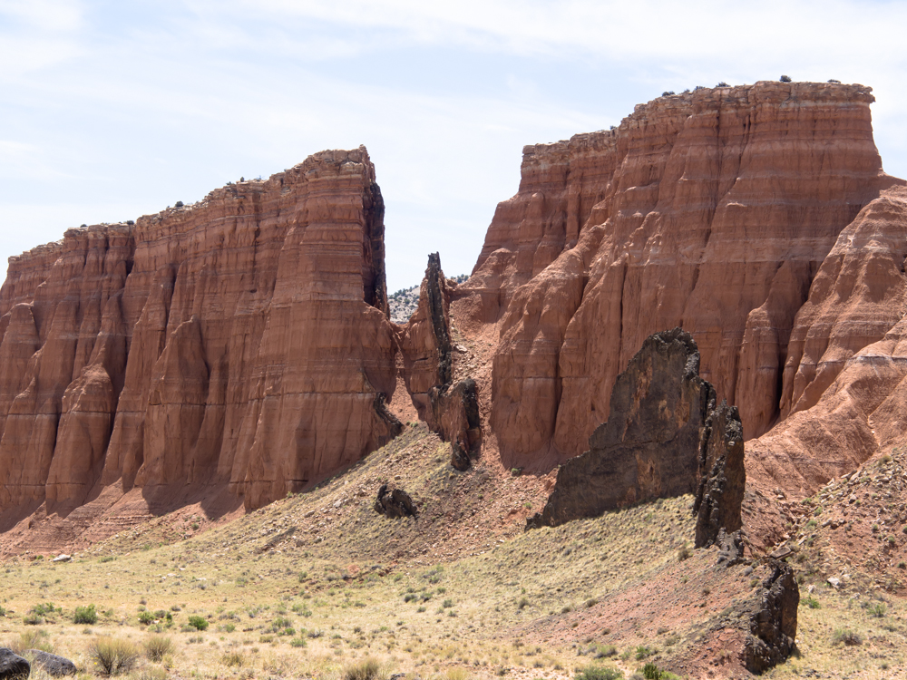
There were many smaller
hoodoos and spires on
the lip of the canyon.
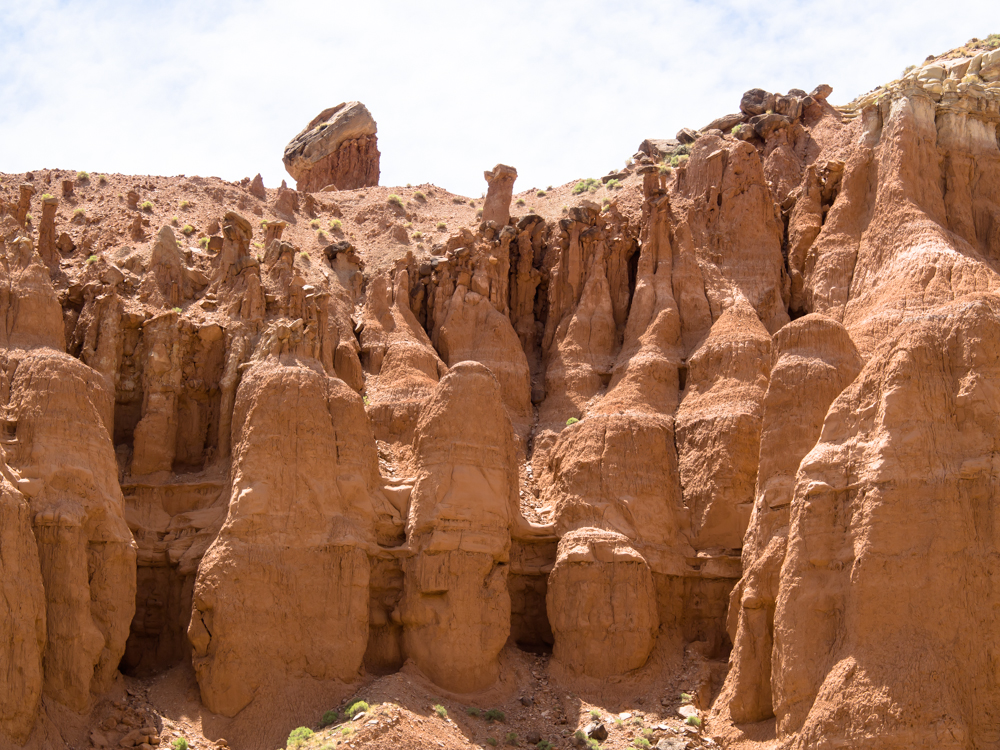
With the harder cap rock
protecting the soft strata below, interesting formations result from erosion. Note the many balanced
rocks.
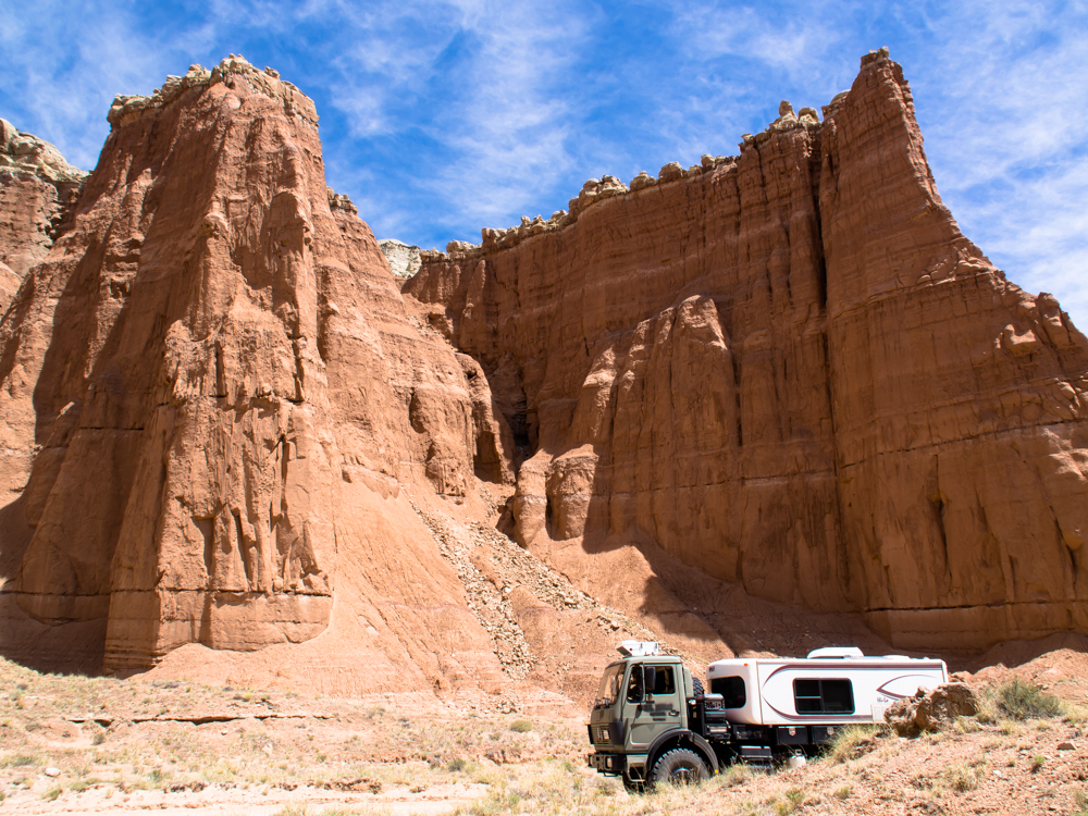
On the trail to UT-24 we
passed many nice cliffs with curtain structures.
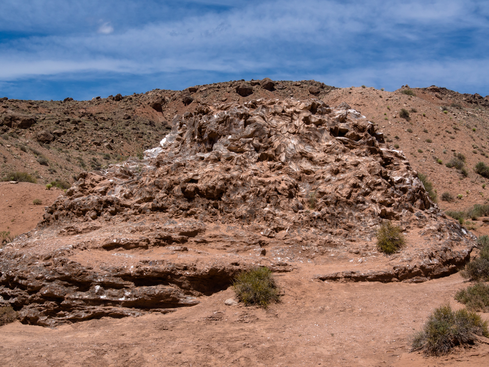
This formation is gypsum
chunks called Glass
Mountain.
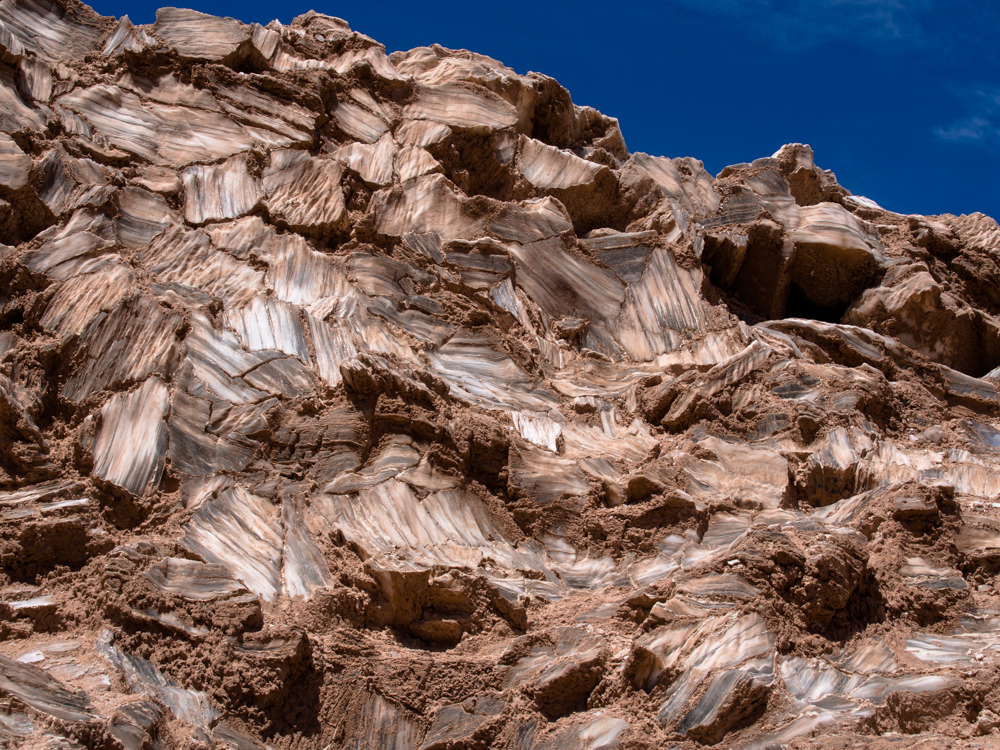
A close-up of the gypsum
nodules. If a small
portion of the
gypsum is flaked
off and
cleaned, it
is transparent.
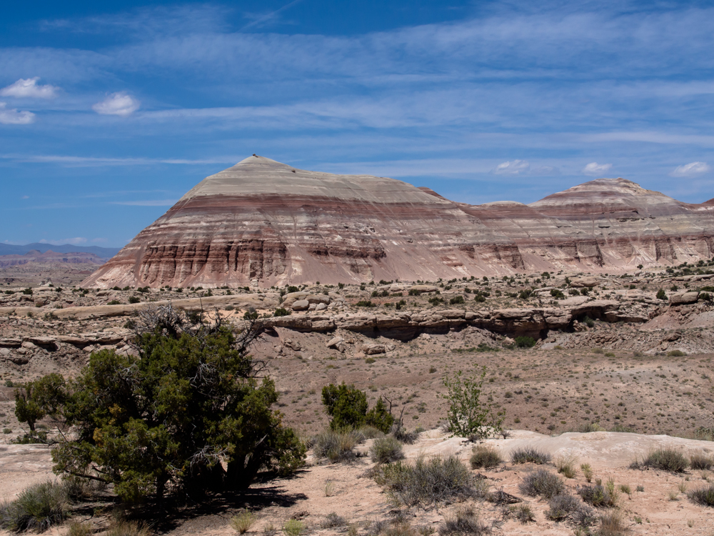
Close to the highway we spotted this striped butte.
The colors were
fantastic.
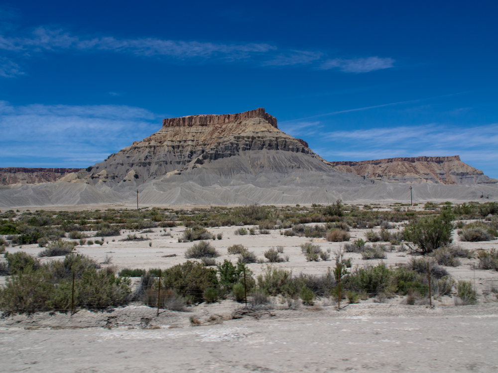
From the highway a short distance south of Hanksville, we spotted
this structure of hard cap rock overlying the soft grey mud-stone
formation.
We did a fuel stop in
Hanksville and had
lunch at the local cafe.
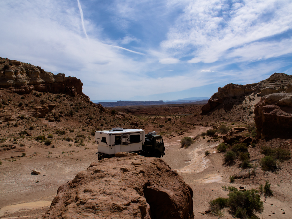
From there we headed north to Goblin Valley. But, Goblin
was full, so
we found a side trail that gave us our own isolated
canyon to ourselves.
| Previous Adventure | ||
| Trip Home Page |
Photos and Text Copyright Bill Caid 2013,
all rights reserved.
For your enjoyment only, not for commercial use.