We
returned from the wilds to visit friends in Alberquerque, Los Alamos
and La Junta, CO. From there, we had dinner with a mog buddy in
Denver and then headed north toward Mt. Rushmore.
The photos below are what we saw.
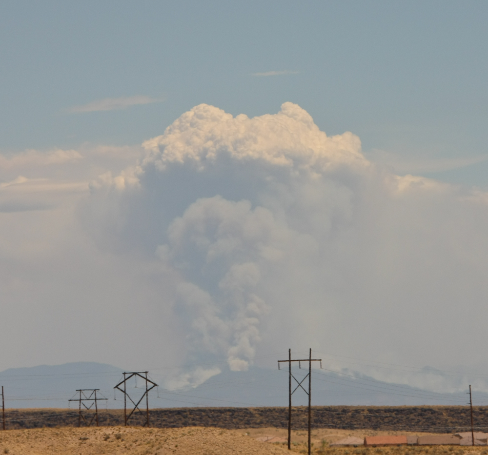
A
recurring theme in this segment is wild fire. The fire that
forced the evacuation of Los Alamos, NM was still burning out of
control. The fire, outside of Cochiti, NM was clearly visible
from I-40 in ABQ. The smoke plume looked like a mushroom cloud
from a nuclear explosion.
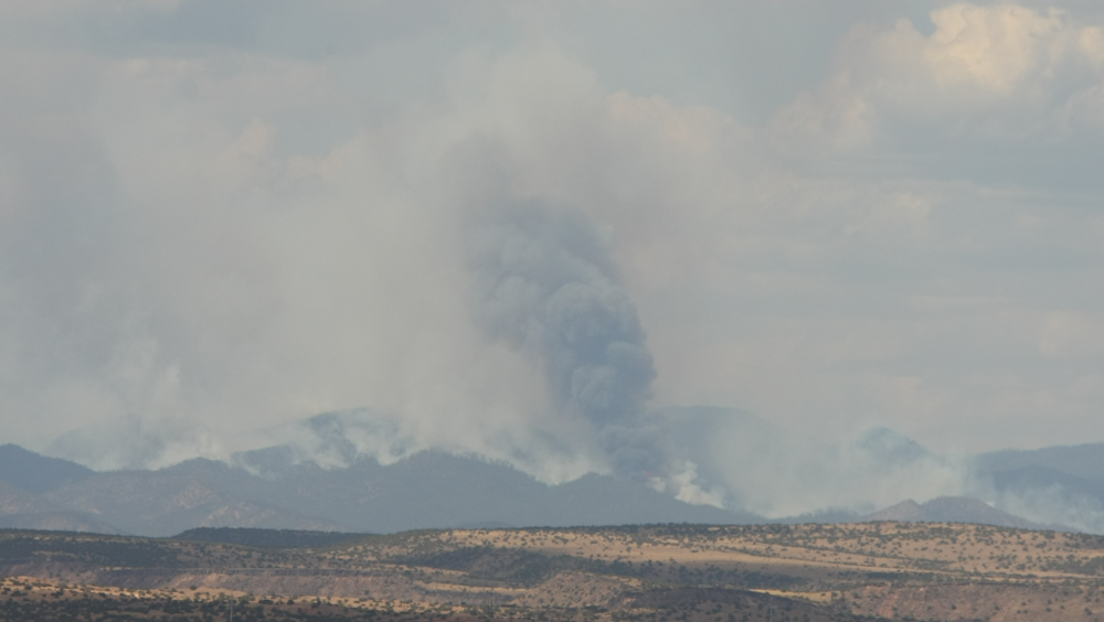
Further
north, the extent of the currently-burning area became more apparent.
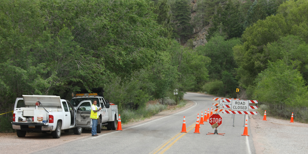
We
got to Santa Fe and wanted to camp in the canyons nearby, but the roads
were all closed due to the fire danger. In the end, we camped at
a conventional RV park south of Santa Fe after a time-consuming
backtrack through the city.
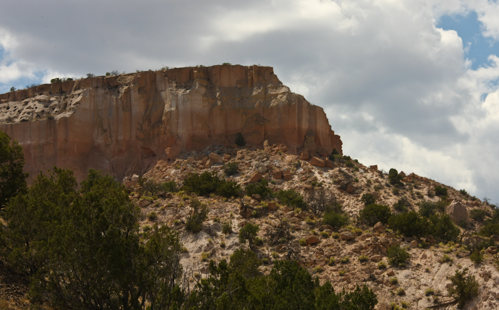
Next
day, we headed north to Los Alamos to see Patrick and Jamie. The
entrance highway to the lab area passes great cliffs.
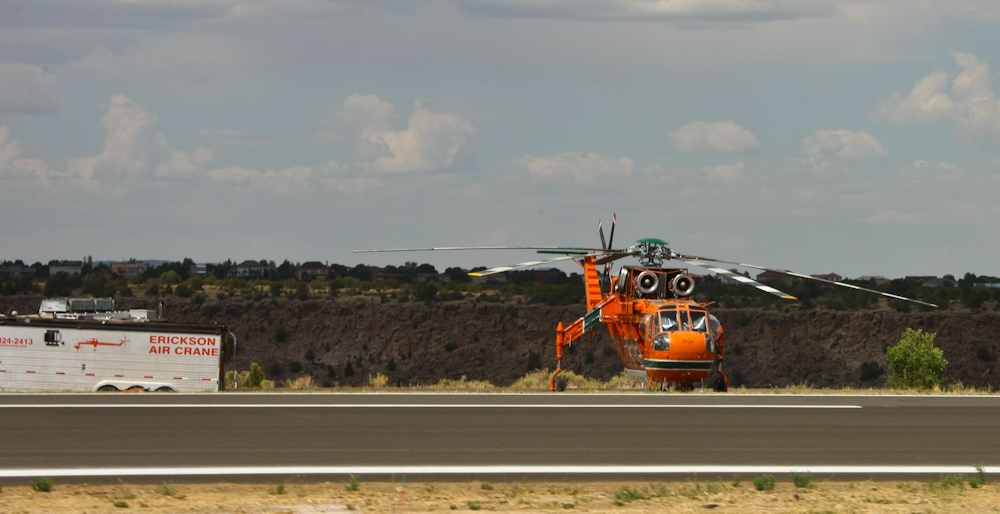
At
the Los Alamos air strip, we passed 3 air cranes that were being used
for fire supression. These aircraft carry large amounts of water
that is dropped from the air to help retard the advance of the fire.
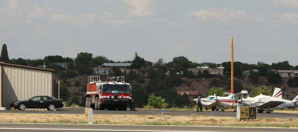
The
Los Alamos air strip is small, but due to the government presence, it
has a huge 8x8 fire truck.
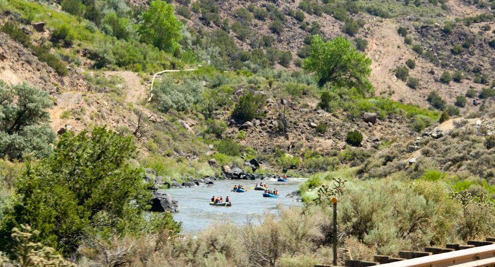
After
a great dinner and a pleasant night in Los Alamos, we headed toward
Taos, NM. Along the way, we traveled in the Rio Grande river
canyon and spotted these rafters doing an organized float down the
river.
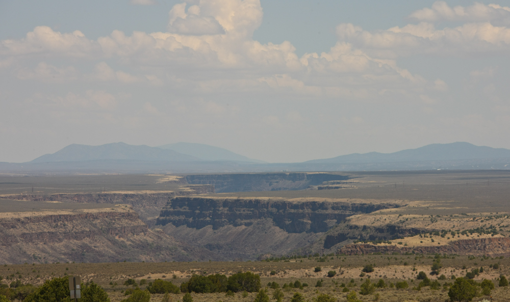
The
Rio Grande gorge is quite large; a mini-grand canyon in it's own right.
We
wanted to take the dirt road that crosses the Sangre de Christo range
to Raton, but the road was closed due to fire danger. We took US
64 instead and it was a nice route. Once we hit Raton, NM, we
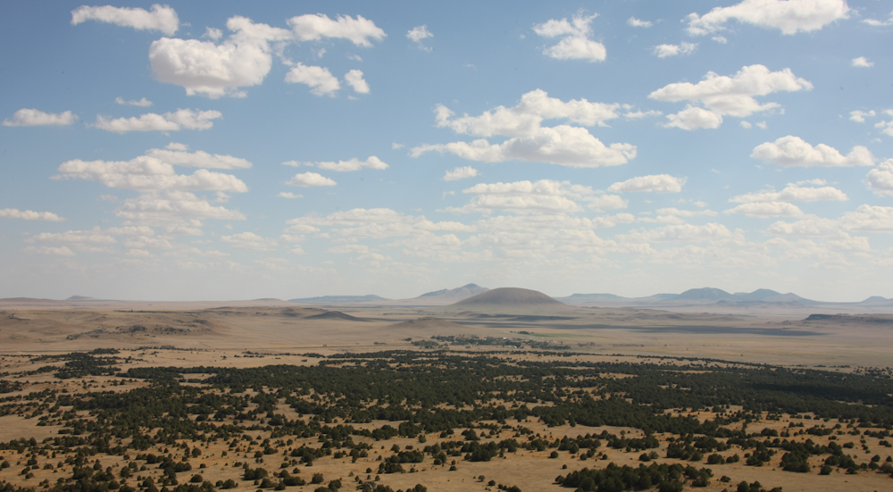
turned east toward the Capulin vocanic cone. There is a road that
goes up to the top of Capulin and the view was impressive. From
the peak of the cone, we could see some of the other volcanic cones in
the area.
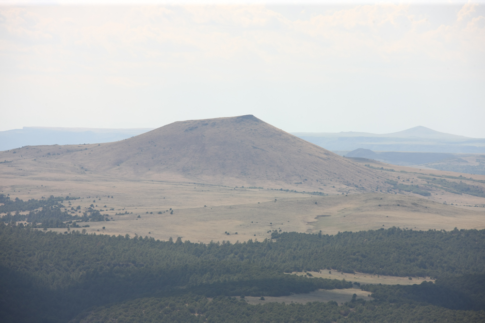
This
is a near-classic cone just to the west of Capulin. Another cone
is visible in the profile on the horizon.
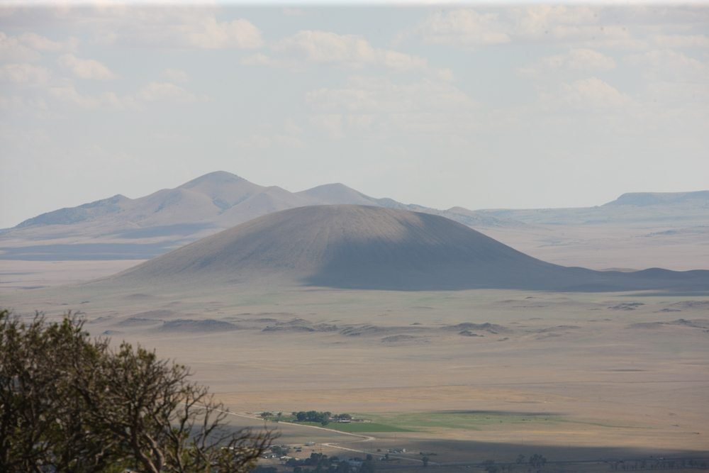
Another
near-purfect cone.
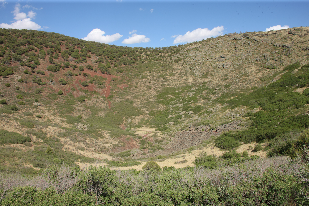
The
center of the caldera at the top of the mountain is rather deep.
A rangerette there told us that a black bear cub was spotted there that
morning and that it had killed a deer and drug it into the brush for
breakfast.
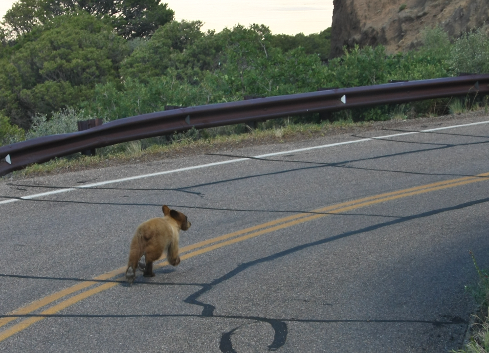
We
were on the lookout for the bear on the trip down from the peak.
Lo and behold, we spotted it just a few hundred meters from the parking
area. When he heard the 1017, he bolted at high speed.
Oddly, this black bear is blonde. I feel a joke coming here, but
can't bring myself to put it in writing.
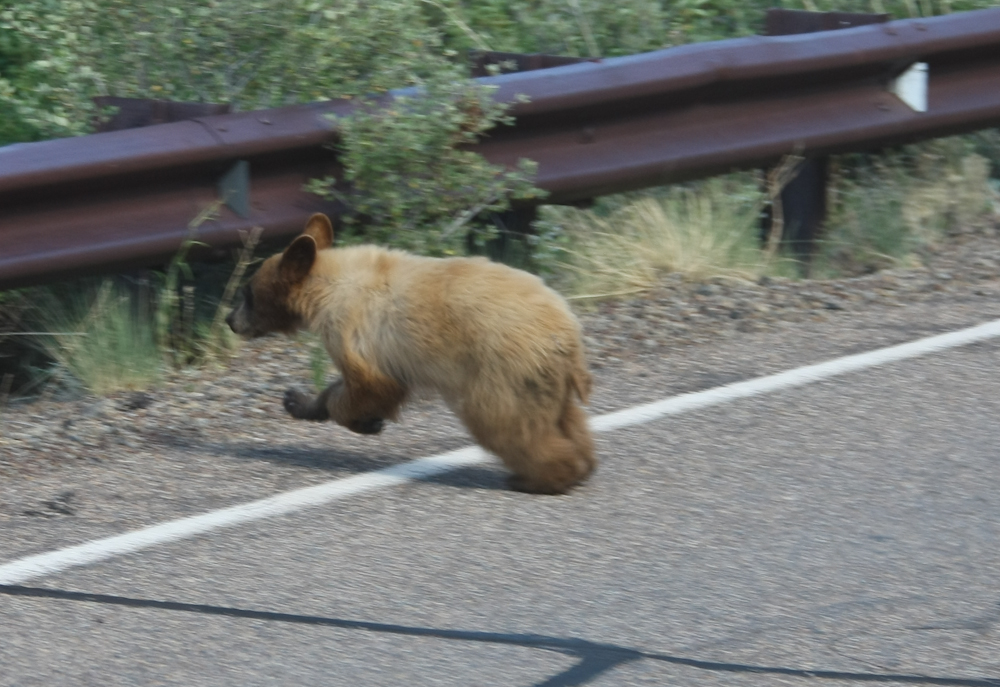
Black
bears are a species, not a color. The cub slithered under the
guard rail and waited for our passing and then returned to something on
the road. Road kill perhaps.
From
Capulin, we traveled to La Junta, CO to visit friends and do some
needed maintenance actions on the truck. We have had a mushy
clutch pedal for months and my repair kit was sent to Rob. The
installation was easy and after a bleeding of the air in the line, the
clutch works as it should. Along the way, we also repaired a tire
that had a slow leak due to creosote we hit in Baja on our last
trip. Additionally, we adjusted the brakes and rotated the
tires. After several days with our hosts, Rob and Erin, we headed
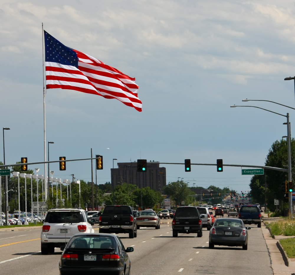
to visit another mogger, Jay, in east Denver. Along the way, we
spotted this huge flag waving in the strong breeze. We suffered
very high winds earlier in the day east of Denver, but the winds
generally died down by the time we hit town.
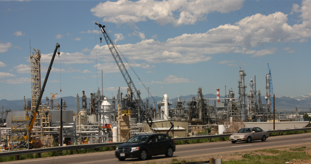
We
spent the night at Jay's shop and saw his work-in-progress Unimog
trucks that he was rebuilding for customers. Next morning, we
headed north toward Cheyenne, WY. Along the way, we passed this
small refinery operation on the north side of Denver. The
snow-capped Rocky Mountains are visible in the distance.
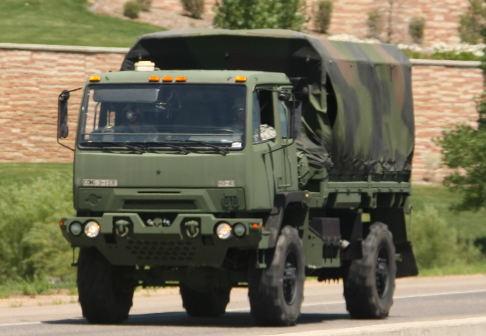
On
I-25 we passed this Stewart & Stevenson truck in the oncoming
traffic stream. Looks rather like the 1017, doesn't it?
That is because the 1017 was it's role model. Our rig is
ex-military (Navy) and was built way before this truck was
designed. This is likely a 2.5 ton capacity model (ours is a 5
ton).
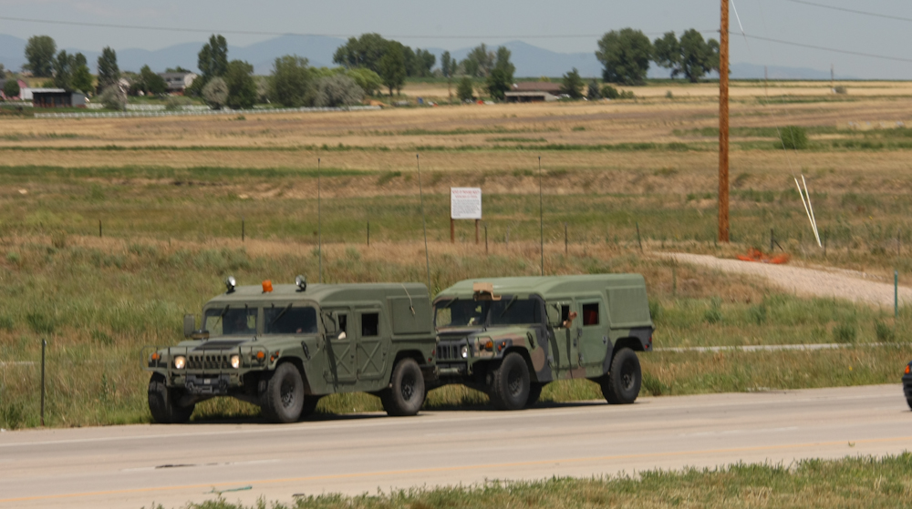
Along
with the S&S were these Hummers. The rear one was being towed
with a tow-bar.
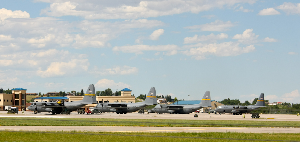
Cheyenne,
WY was only a few hours travel from Denver. Outside of Cheyenne,
we passed the local airfield that houses the Wyoming Air National Guard
and their C-130 cargo planes.
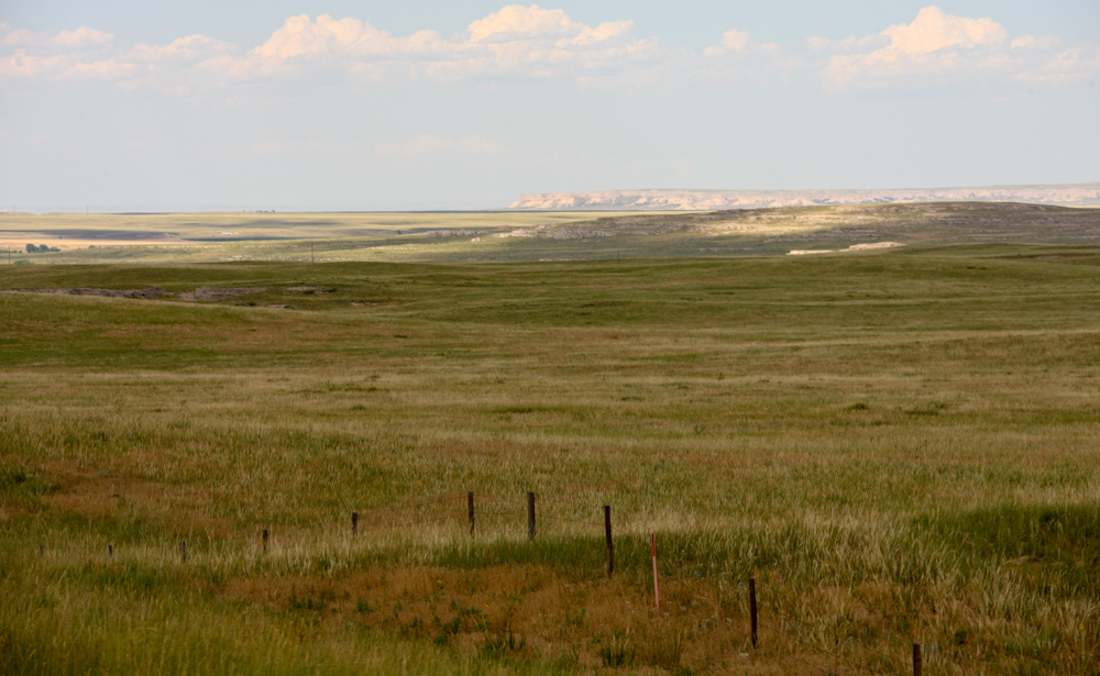
Outside
of Cheyenne, the terrain turned into prairie and provided great vistas
essentially devoid of trees. Small uplifts provided the basis for
some of the cliffs visible in the distance.
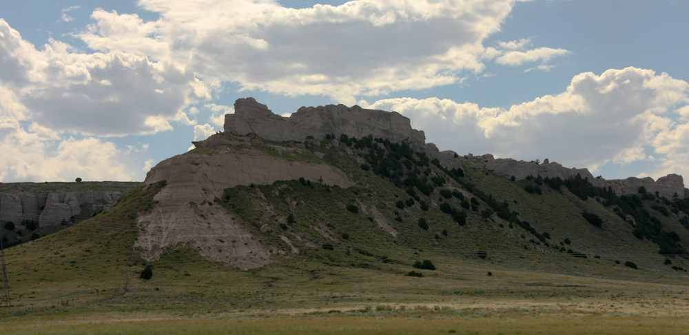
Further
on, the cliffs along the watercourse got bigger.
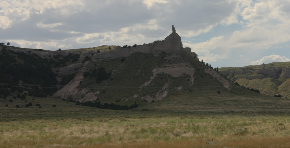
An
odd formation visible from the road. Named, I am sure, but I do
not know the name. My money is on "chimney rock".
We
continued north to Torrington, WY and set up camp at the city
park. Amazingly, the camp sites were free and they had
electricity to run our a/c. That was a nice gesture since it was
about 100 degrees and rather uncomfortable.
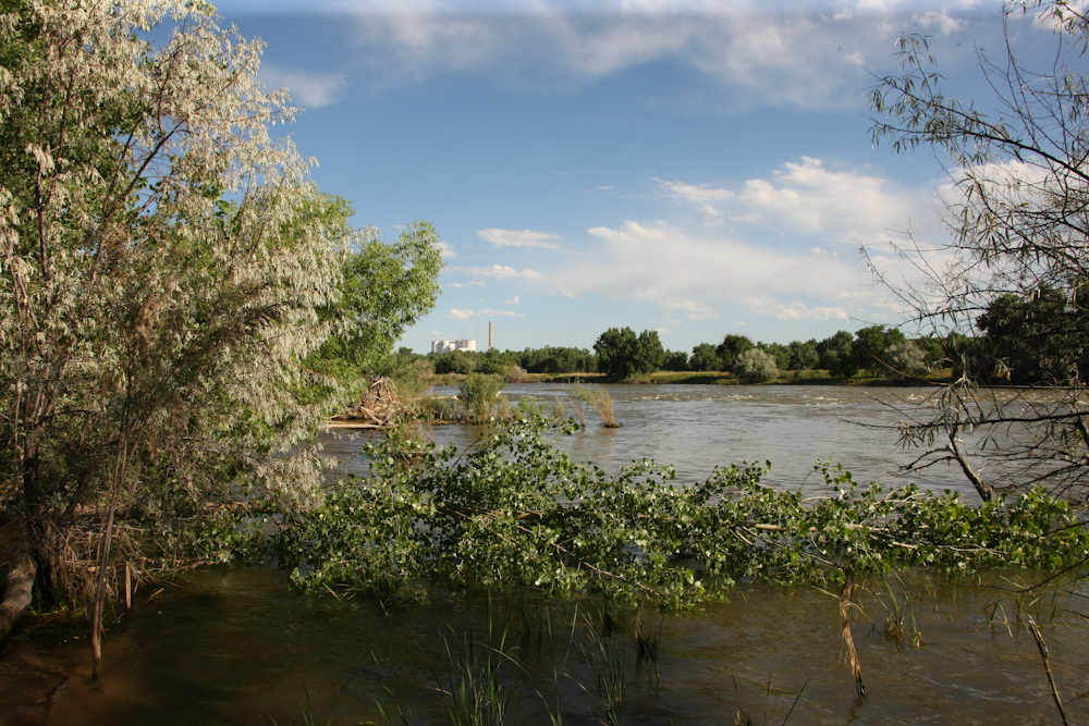
The
park was right next to the North Platte river which was at near-flood
stage.
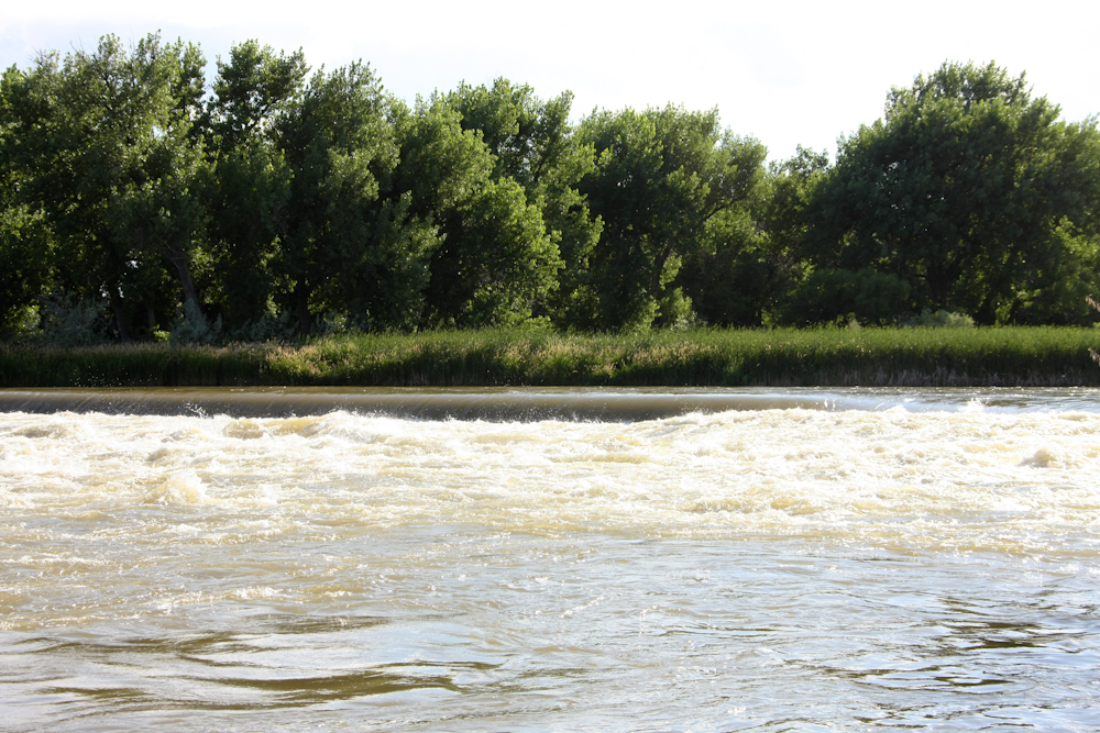
Just
upstream was some sort of weir.
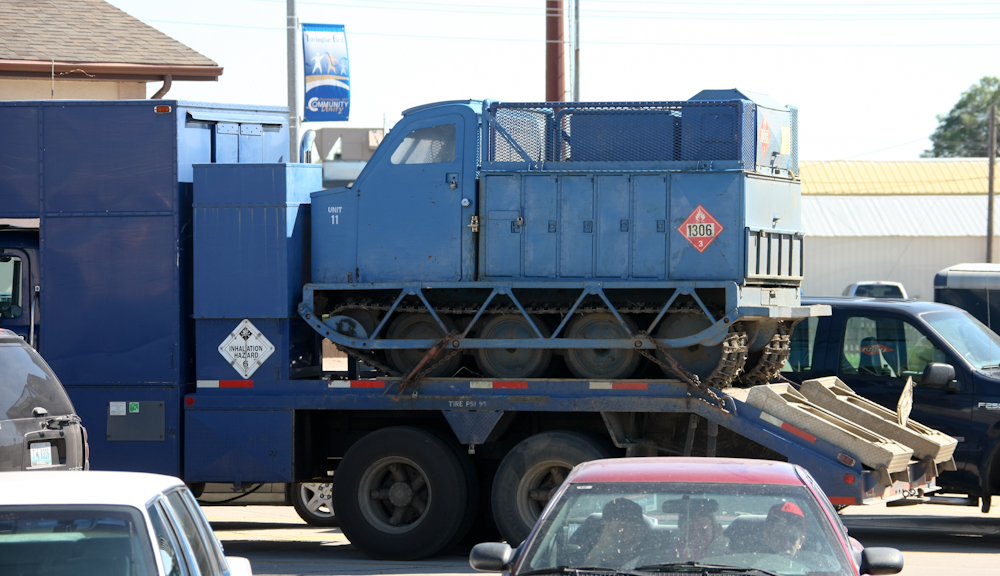
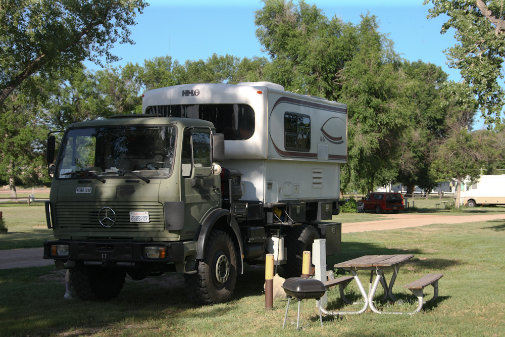
Next
morning, we visited the local cafe for chow and spotted this unique rig
in the parking lot.
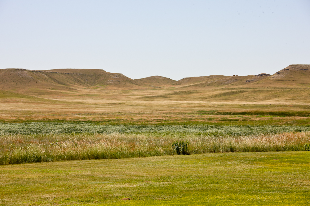
We
continued north across the prairie on back roads and stopped at the
Agate Fossil Beds NM. It was interesting, but not as big as
something like Dinosaur NM. The grasslands visible from the
monument were impressing. I can visualize huge herds of buffalo
covering the hills.
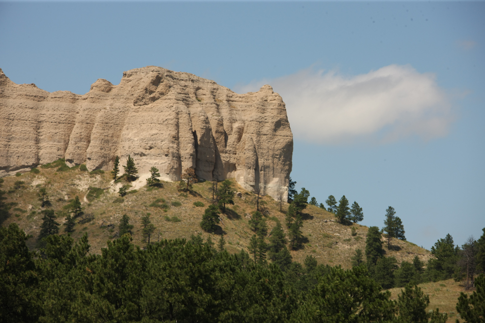
We
briefly passed into Nebraska and passed some nice cliffs near one of
the state parks.
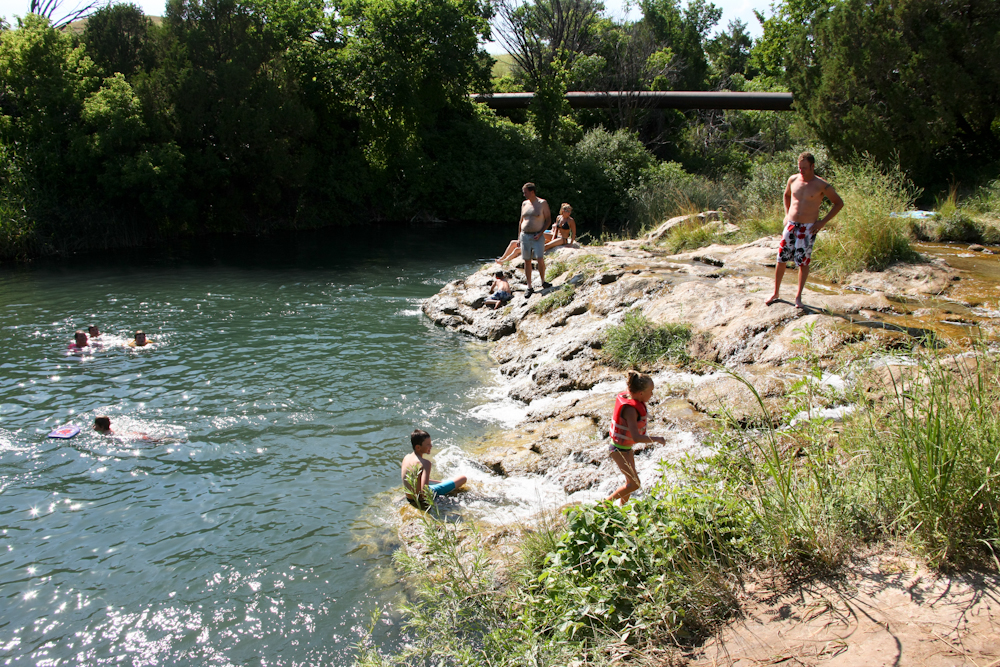
South
of Hot Springs, SD we passed a sign on the road for "Cascade
Falls". Expecting something significant, we turned around and
went back to check it out. The site was the local swimming hole;
the "falls" were about 3 feet.
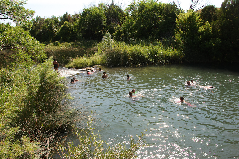
The
falls are visible in the left center of the photo above. Somewhat
underwhelming.
We
spent the night in an RV park on the north side of Hot Springs,
SD. Hot Springs, as the name suggests, hosts a set of springs
that are warm, not hot (about 80 degrees according to the locals) and
has had a VA hospital for many years. A reasonable tourist
industry has sprung up due to the springs. We did chores
(laundry, etc) and headed out the next morning, continuing north.
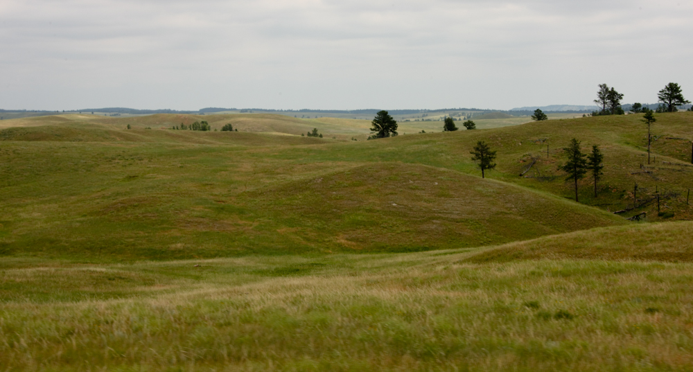
Outside of Hot Springs, the green rolling hills provided great views.
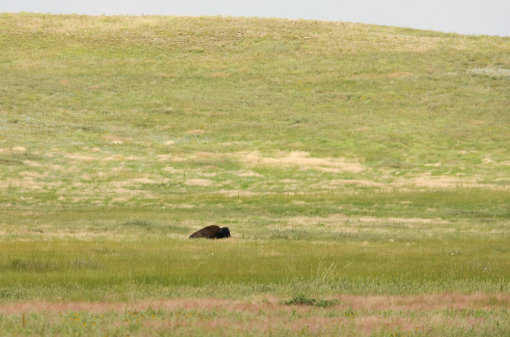
Our
destination for the day was Wind Cave. Near Wind Cave, we passed
this lone buffalo bull dozing in the meadow. This, I think, is
the definition of a bull dozer.
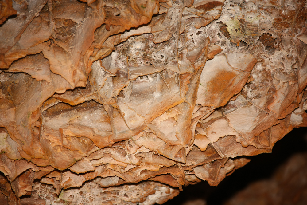
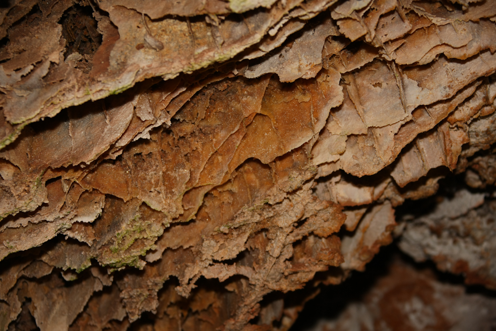
Wind
Cave was big, they told us that repeatedly during the tour. But,
quite underwhelming with regard to cave decorations. The
primary formation present in the cave were box structures. The
boxes were formed when calcite was deposited in cracks and then the
surrounding rock was dissolved leaving the cracks.
The
box structures were deep.
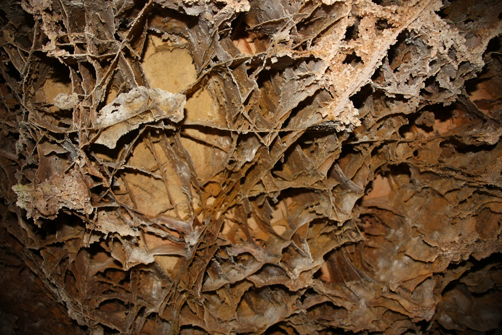
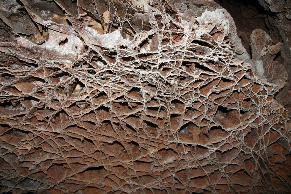
Some
areas were very intricate indicating large amounts of stress fractures,
likely due to uplifting, before the erosion of the base rock
occurred. And, since there has been little damage to the
structures, you can infer that the area has been stable since the
erosion happened.
Very
few of the areas had any subsequent deposits. This section had
small amounts of "popcorn", but not much else.
We greatly appreciate the hospitality of our hosts: Brad and Laura in Albuquerque, Patrick and Jamie in Los Alamos, Rob and Erin in La Junta and Jay in Denver. The maintenance actions were greatly needed; our brakes were badly out of adjustment and the parking brake would not hold on steep grades. Rob showed me how to perform this action myself. Thanks Rob.
The prairie is something totally foreign to us. SoCal is desert and brown is the predominant color, not green. This area is blessed as an agriculturally productive area, but as with most things, a positive begets a negative. In this case, harsh winters.
Tomorrow, on to Mt.
Rushmore.
| Previous Adventure | ||
| Trip Home Page |
Photos
and Text Copyright Bill Caid 2011, all rights reserved.
For your enjoyment only, not for commercial use.