The photos below are what we saw.
We had already missed our turn,
but by the time we discovered the issue (due to confusion with the
navigator) we were many miles past the turn. So, we just kept
going. All roads lead the same place eventually. From the
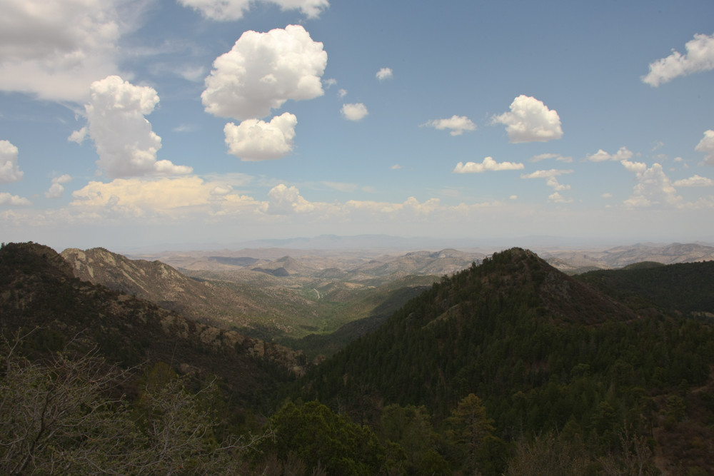
crest of the Gila Range, we could see the Caballo Range on the other
side of the Rio Grande Valley.
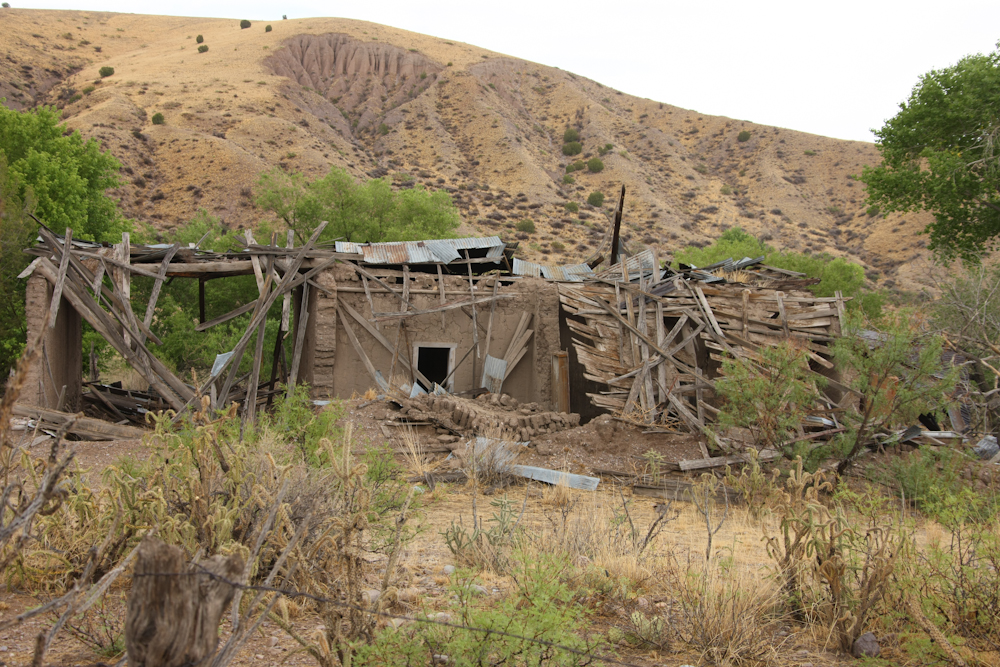
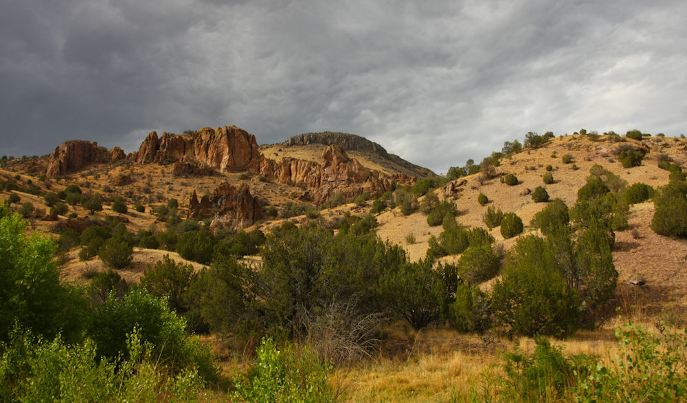
Fortunes change fast in the
west. This appears to be left over from the mining days in the
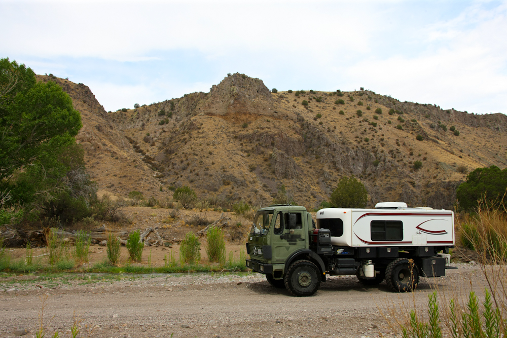
area. We did a fuel/ice stop in T or C and the gal at the station
gave us info on an interesting place called the Monticello Box
canyon. She stated that we would have no problems passing that
route so we loaded and headed out.
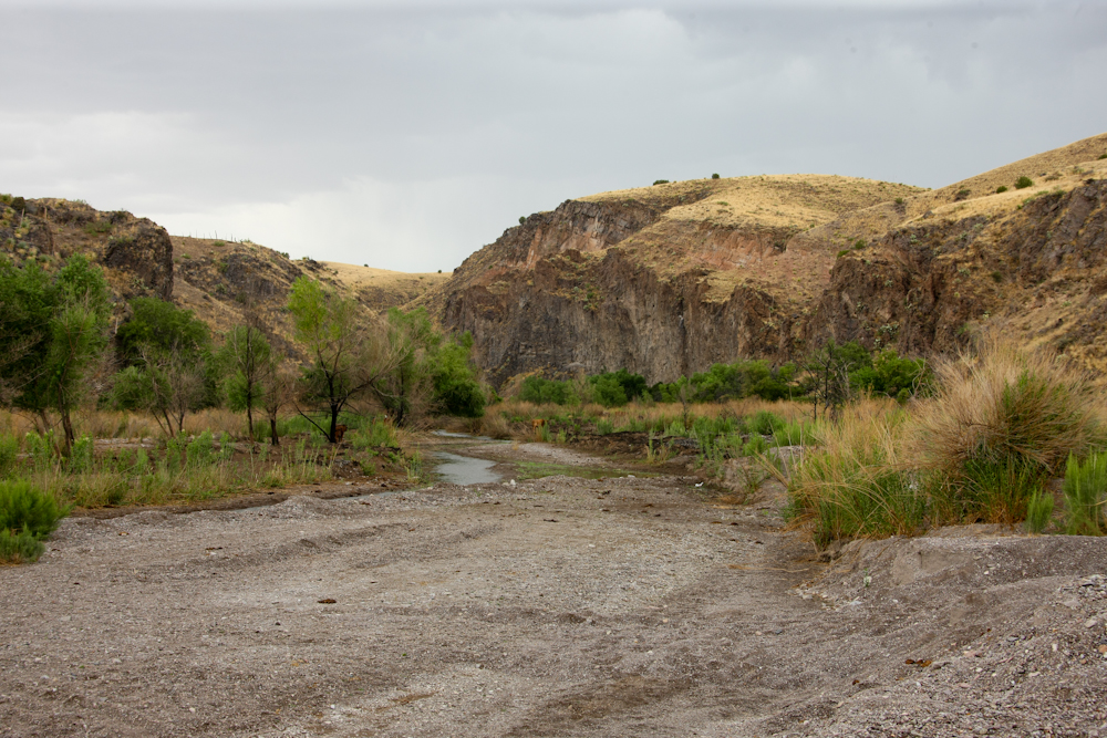
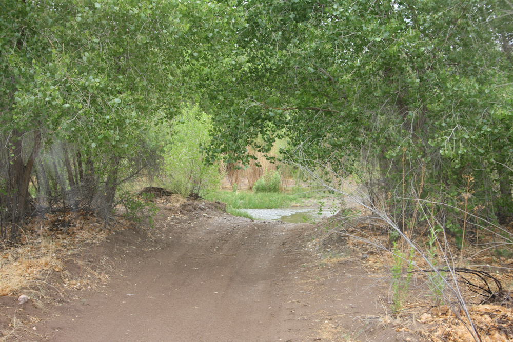
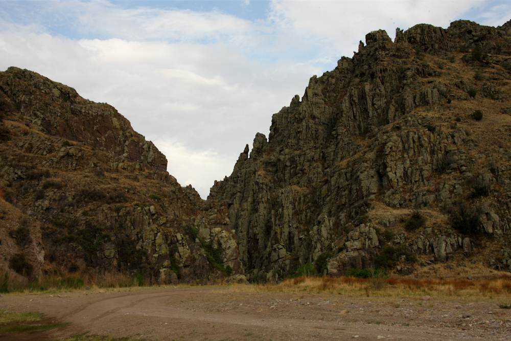
The entrance to the box canyon was
easy. We traveled many miles of dirt to get to this point.
In for a penny, in for a pound. The thunderheads brewing were a
concern. Getting caught in a box canyon in a flood might prove to
be interesting, if not fatal. In the end, we decided that there
were sufficient places to escape, with or without the truck, so we
pressed on.
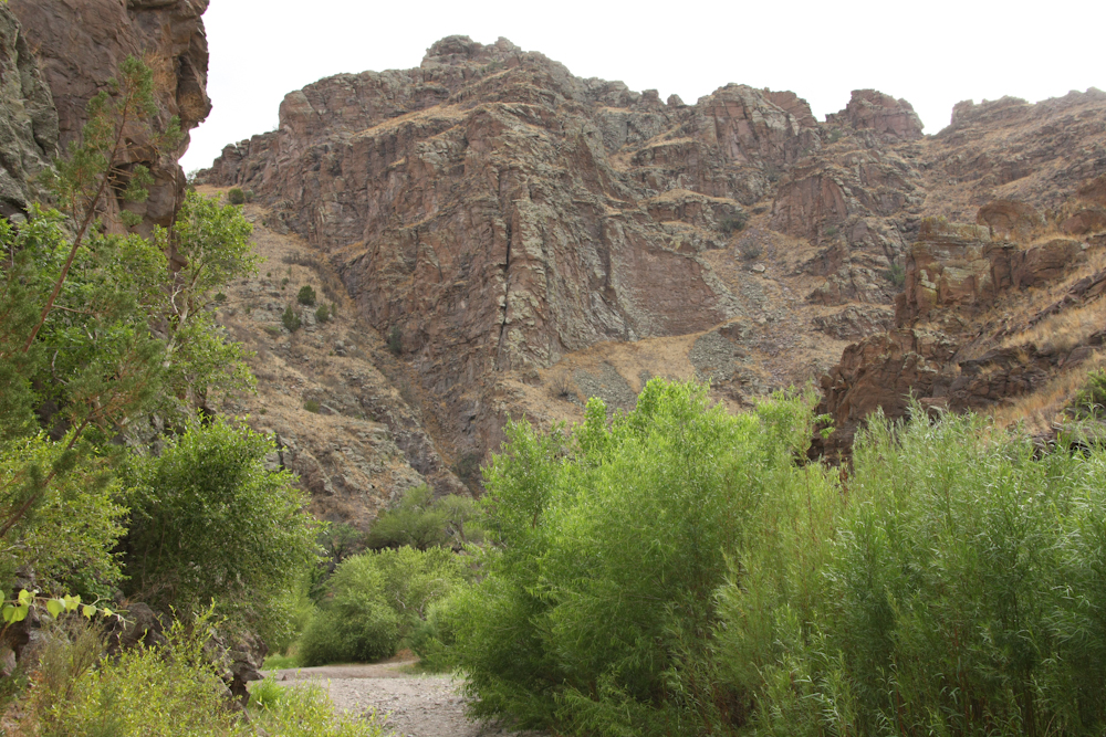
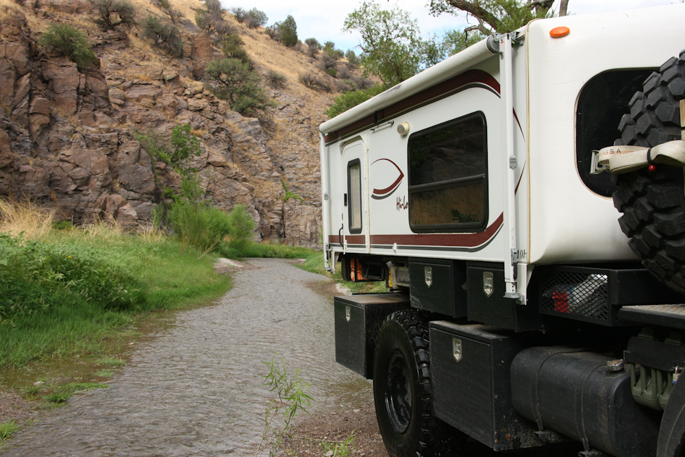
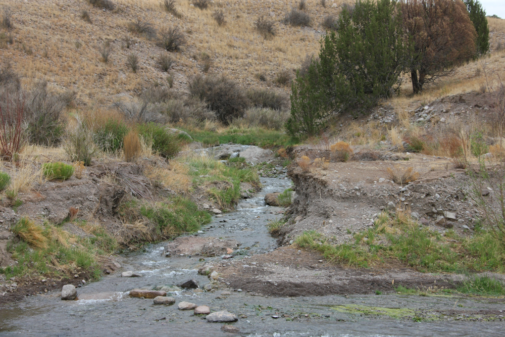
The walls of the canyon were steep
and the floor of the canyon was stream bed and brush. For most of
the canyon, the trail was the stream. There were many, many water
crossings. The canyon, it seems, is fed by a set of springs on
the other side and flows year around. A rather rare commodity.
We did a stop for some
photos. The walls of the canyon are volcanic, perhaps a graben
structure.
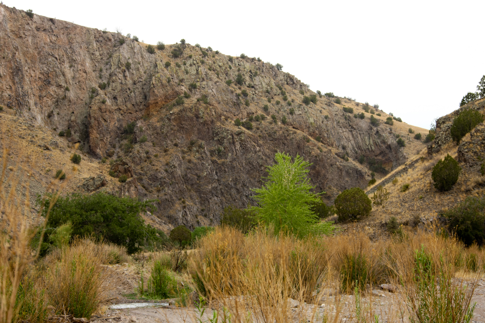
More steep walls.
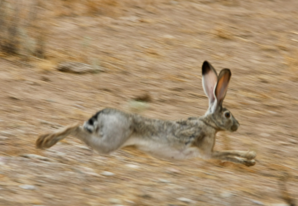
There was plenty on game in the
canyon, although getting a photo is challenging.

We spotted this herd of elk on the
far ridge. They were all watching the truck, no doubt alerted to
the sound of the diesel.
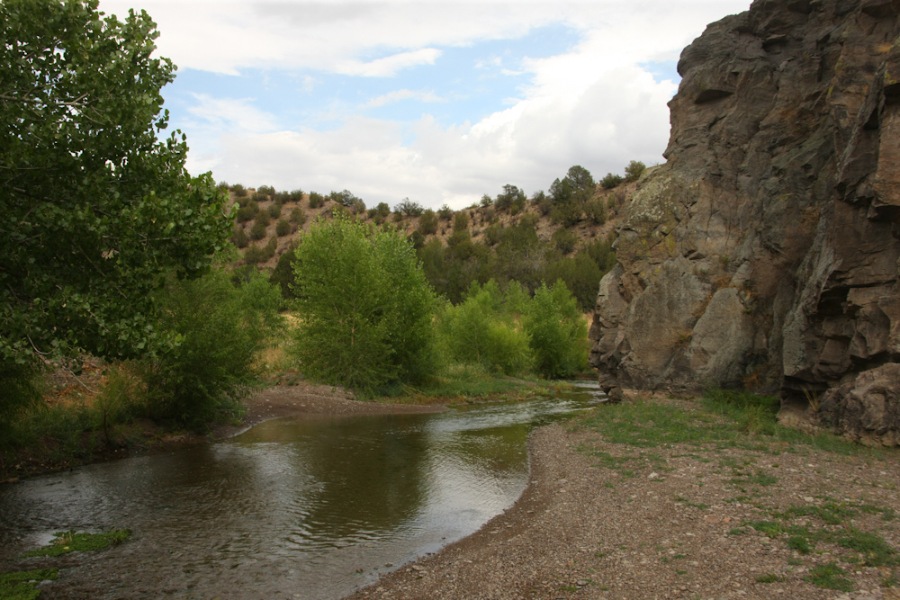
Yet another water crossing.
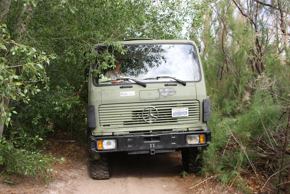
As we got higher in the canyon,
the brush got tighter and tighter. The sides of the cab and
camper were getting a good polishing from the brush. I was
starting to get concerned about the fixtures on the roof getting ripped
off by the branches.
We finally hit a spot that
required some actions on my part.

You can see the size of the branch
that was blocking our progress. The good news was that we had the
bow saw with us. It did not take too long to get the big branches
out of the way and get them dragged to the side of the brushy trail.
The upper reaches of the box were
really nice. They were also on private land and passage was
allowed only on the existing trail. No hunting, fishing, camping
or trespassing except on the trail.
We finally got out of the stream
and hit the gate on the far side of the ranch.
The upstream entrance to the
canyon went right through the a large volcanic ridge.
Just past the entrance to the
canyon, we hit a side stream that was sourced by a hot springs.
Kathleen and I put on appropriate attire for the circumstances and
hiked the 1/2 mile to the spring.
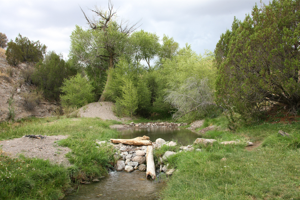
The pools at the spring were nice
and clean. But, the water was tepid not really hot.
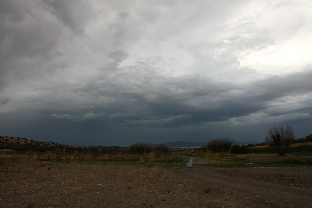
Back at camp, the thunderheads
continued to build. I was somewhat concerned about flooding, but
the streambed was very wide so it was not the same situation as in the
box.
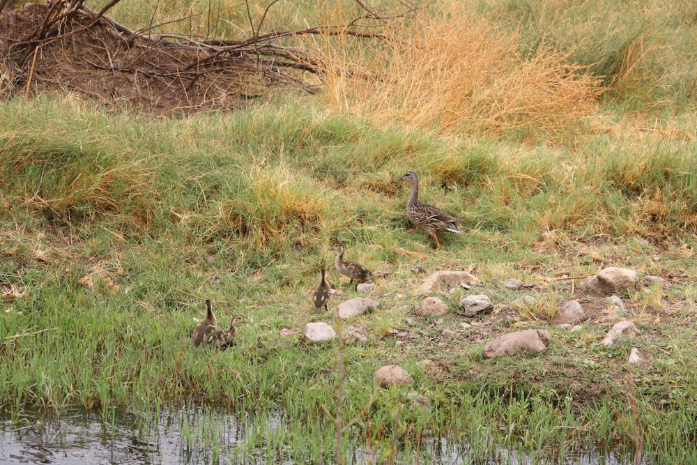
Next morning, we
broke camp and headed north following the stream. We saw plenty
of game along the way including these ducks with ducklings that stay
near the stream.
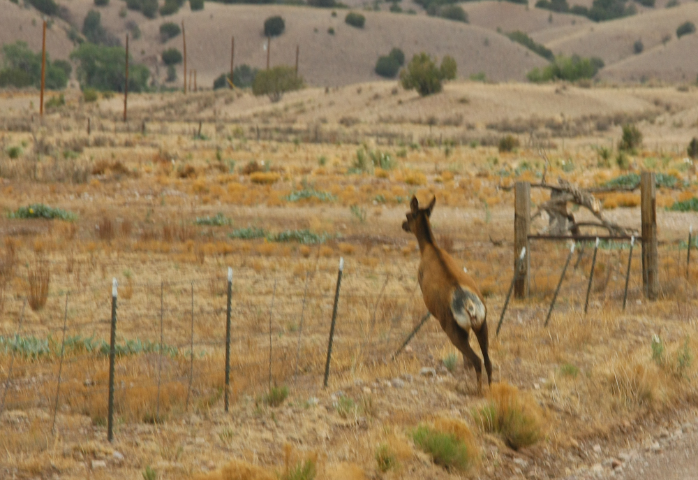
Further out on the
state route (still dirt) we hit another herd of elk. This fellow
goes over the fence like it is not there.
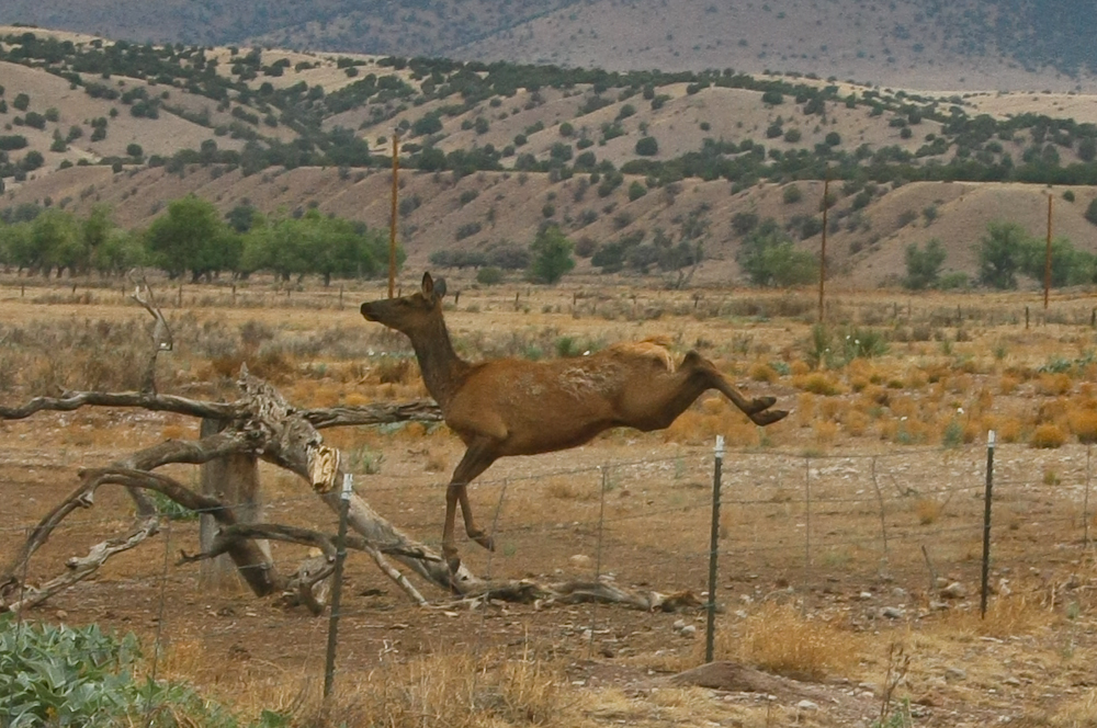
This doe cleared the
fence with ease and bounded into the neighboring field away from the
noise of the truck.
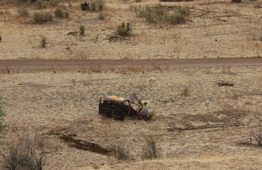
If you leave a
vehicle in a stream bed, it will get covered.
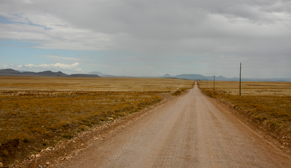
The road was
laser-straight as it headed into the south end of the Plain of San
Augustin.
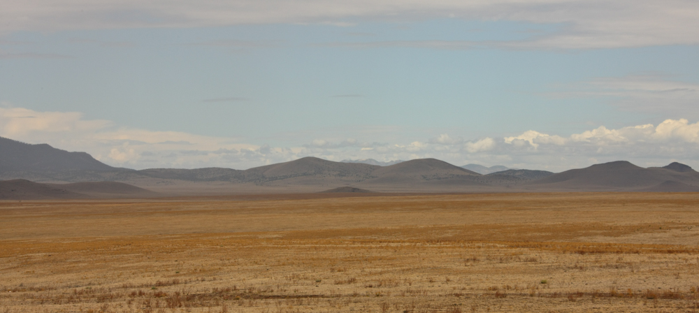
The plain is about
7,000 feet and nary a tree to be found.
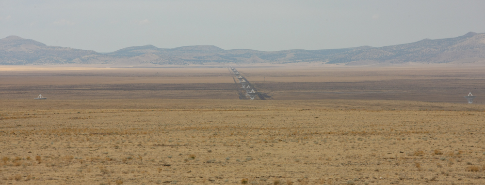
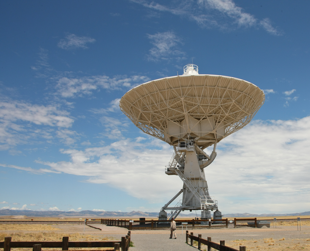
Near the center of
the plain is the Very Large Array radio telescope facility. There
are 27 large high-gain dish antennas at the facility.
Since we had to go
right past the visitor center, we stopped to check things out.
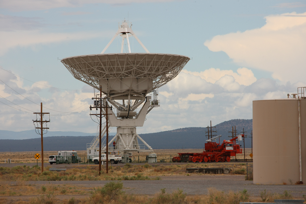
The dishes are big, but the real story is the red thing on the right of
the photo above. This is a transporter and is used to move the
dishes from one configuration to another via a set of
specially-constructed rails. The whole dish assembly is picked up
by the transporter and carried to the new mounting location. The
dishes weigh something on the order of 250 tons.
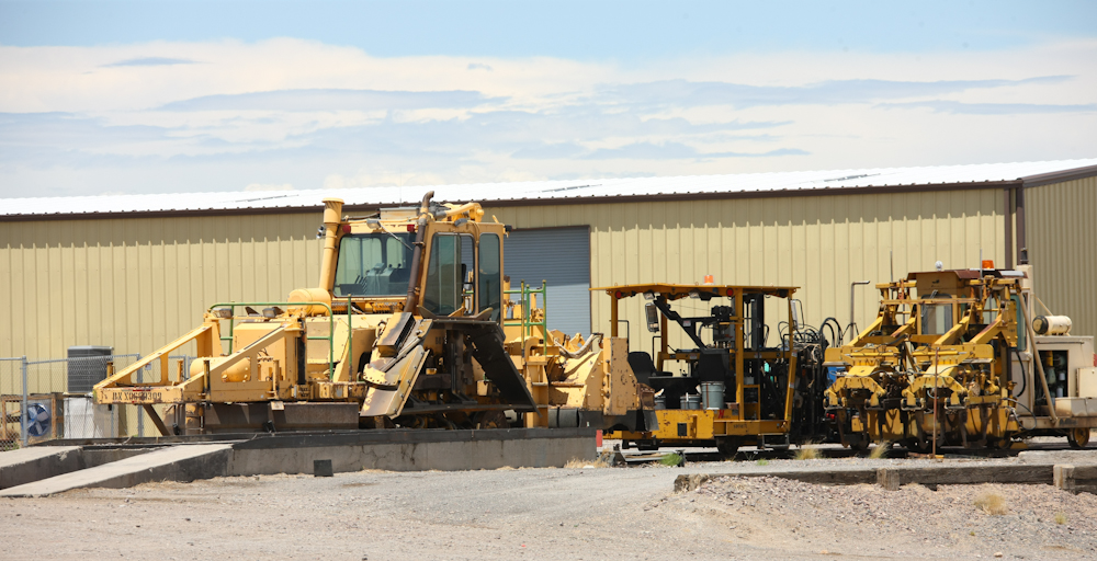
There was plenty of
track maintenance equipment to support their quad-rail railroad.
The concrete mounts
for the dish are fixed, and there are 4 sets of mounts per dish, one
set at each "configuration" location. The transporter moves
underneath, picks up the dish and moves it to the next
configuration. The configurations are "plumbed" with electrical
power and data connections and the locations are known with great
precision (fractions of a wavelength). The configurations are
used to adjust the resolving power of the array.
From the VLA we did a
supply stop at Datil, NM and had an awesome lunch -- a freshly ground
hamburger. We were so impressed, we purchased a 2 lb T-bone steak
from them and had it for dinner than night. A great steak.
If you EVER get to Datil, get some meat at the gas station
market. From Datil, we headed through Pie Town and back onto the
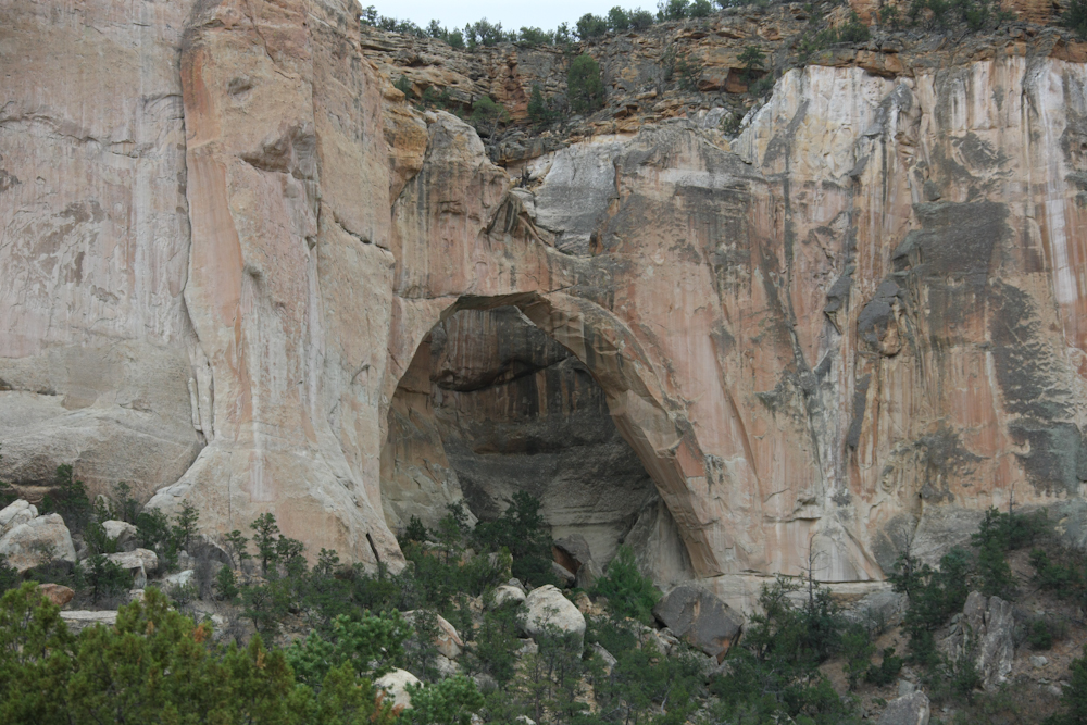
dirt, then north toward Grants, NM. Along the way, we passed this
nice arch visible from a road-side stop.
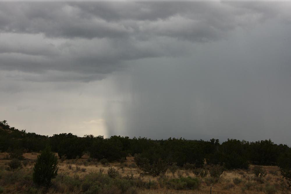
The thunderstorms had
been dogging us all afternoon.
We stayed at a
newly-redone BLM camp site near the road, about 20 miles south of
Grants.
| Previous Adventure | ||
| Trip Home Page |
Photos and Text
Copyright Bill Caid 2011, all rights reserved.
For your enjoyment only, not for commercial use.