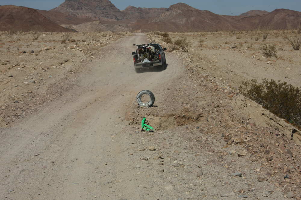
The
dirt
road to Gonzaga Bay from Mex 1 was punishing. But, the road
from Gonzaga to Puertocitos was worse. We had no choice as
there
were no alternate routes; in for a penny, in for a pound.
So, we
went slow, but the wash board produced damaging vibrations on the
trucks.
The photos below are what we saw.
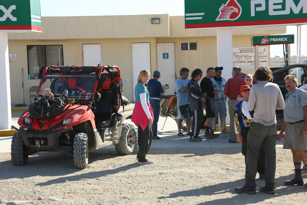
We
stopped
at both Pemex stations, but neither had diesel. We were
fine, but Matt has a small tank and some motor issues so he gets
really
poor mileage. At the second station, we encountered a set of
"rent-a-racer" folks who were on some kind of paid tour. As
part
of their package, they get to use the red four-wheelers and they
get
catered camping.
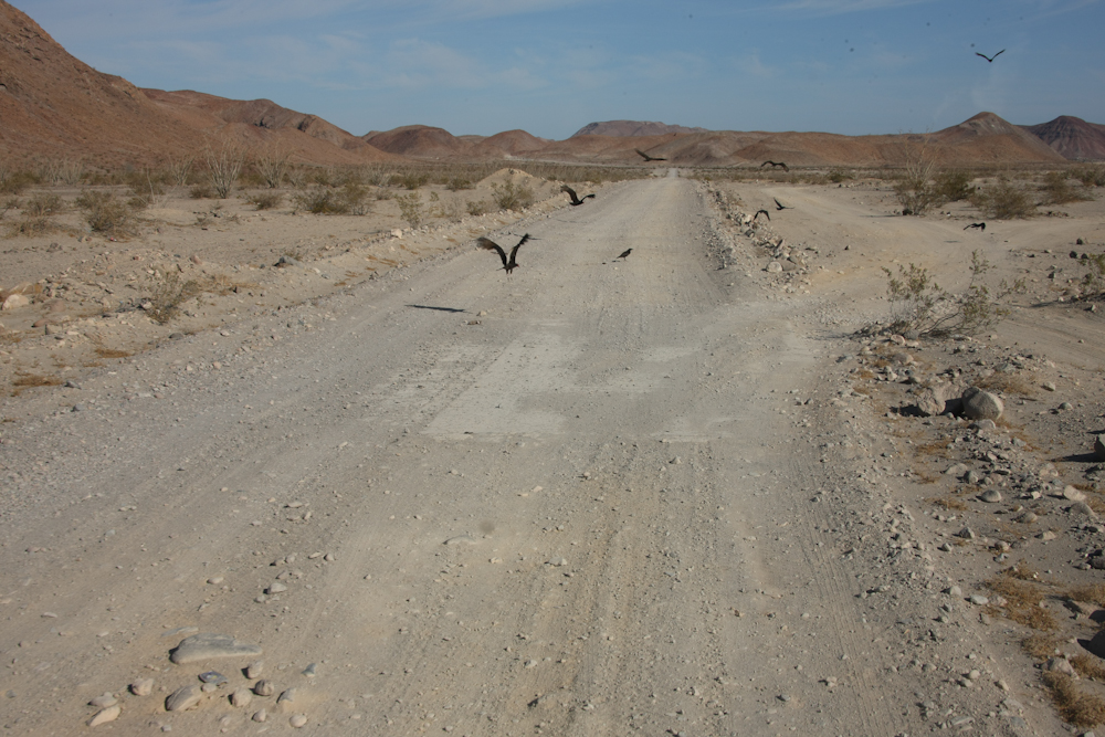
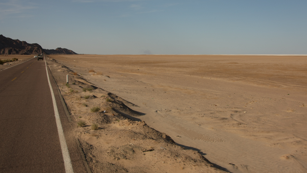
The
road
does not look rough, but trust me it is. Above, the local
vulture crew clean up some road kill.
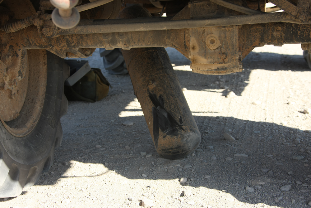
The
road
takes its toll. The vibrations from the washboard broke the
mounting bracket for Kai's air tank, tearing one of the lines in
the
process.
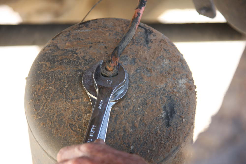
Getting
the
tank apart was hard as the fittings were rusted and very tight.
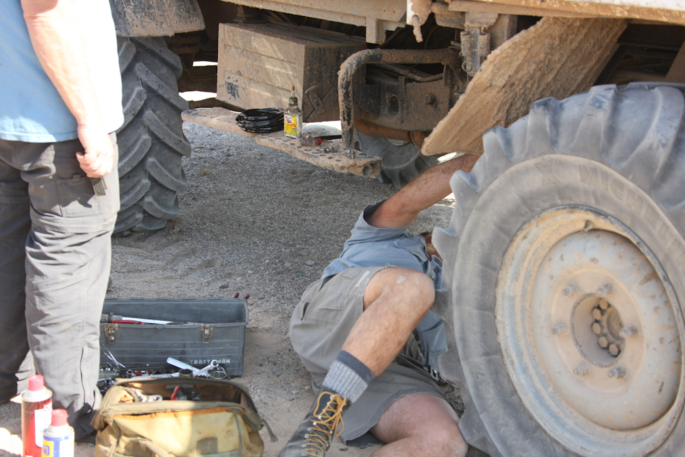
Each
of
us contributed components for a trail-side fix.

The
solution
was to just connect the tank supply line to the consumer lines
without the tank in the middle. The fix got Kai back to San
Diego
without other issues. I can say for certain if this failure
had
happened on my 1300, we would be still sitting there. The
1300s
use air for a number of sub-systems and without air, you are going
nowhere. Kai's 416 was more tolerant of this kind of
failure.
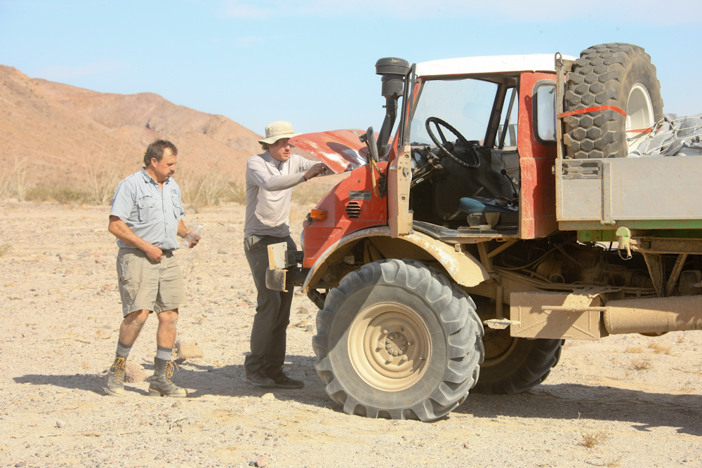
Meanwhile,
Matt
was addressing a coolant leak on his 416.
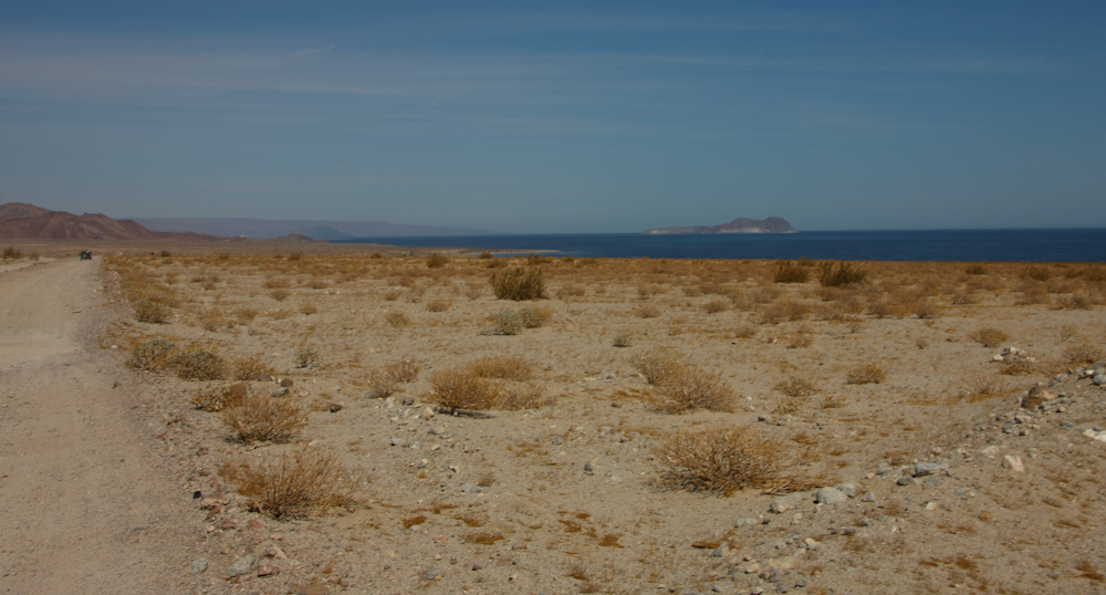
We
had
some nice views of the water from our low speed run along the
coast.
The
fellow
in front of us was going faster than he should and also suffered
a failure further down the road. Whatever happened, he was
dead
in the water in the middle of the road. Note the obstacle
marker
in the photo above. There is a huge washout there that goes
down
about 6 feet. Yet another reason not to 'wheel at night in
Mexico.
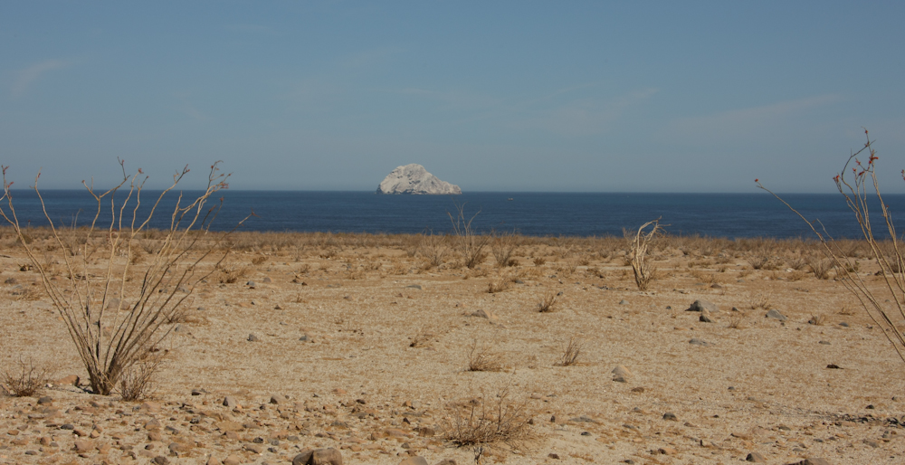
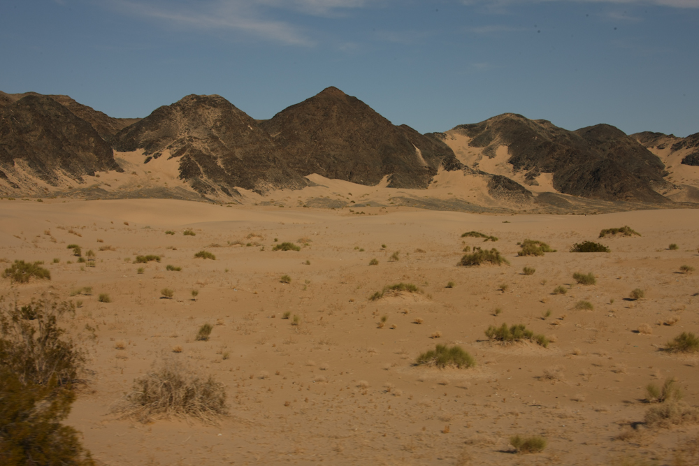
Most
of
the small islands were covered in bird droppings. Note that
the amount of vegetation now is down to almost nothing.
Ocotillos
can live almost anywhere, so they were expected. But other
than
that, nothing.
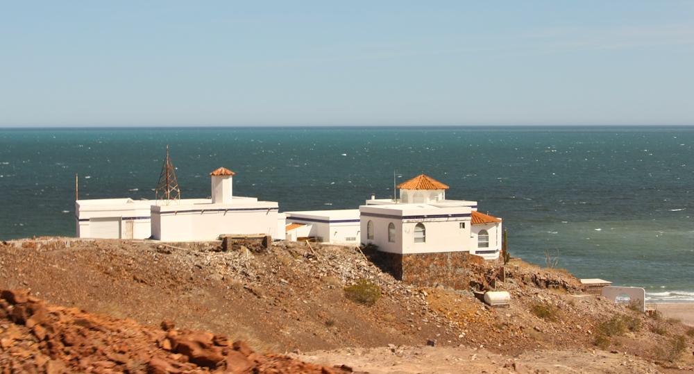
South
of
Puertocitos the dirt road turned into new, smooth pavement.
After we hit the pavement, we passed several really nice
places.
Note the white caps; the wind is blowing strong again.
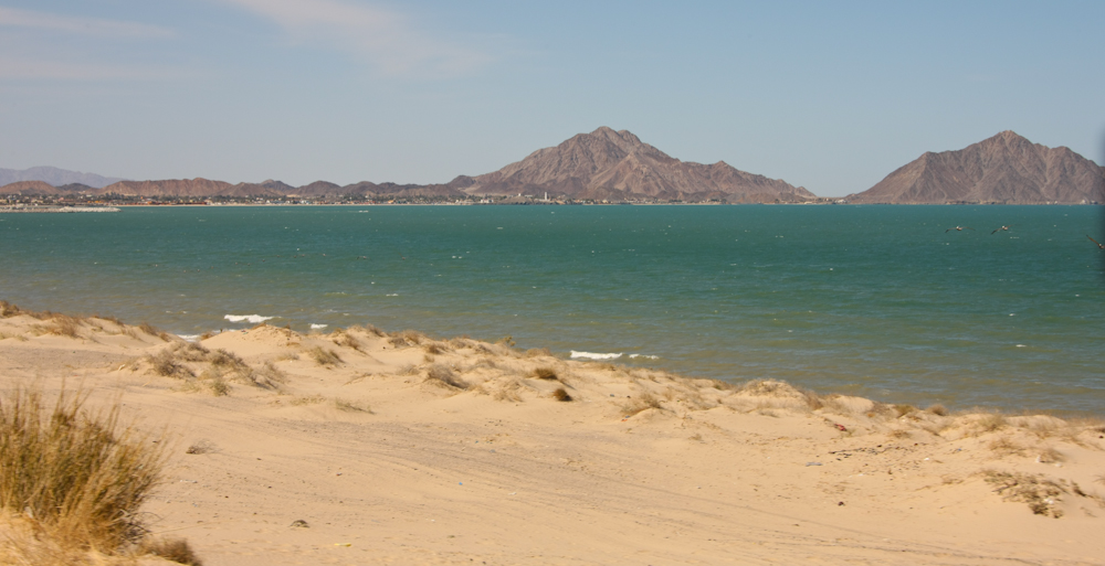
The
road
into San Filipe was in good repair and we made good time.
Note the green color of the water here in the northern reaches of
the
Sea of Cortez.
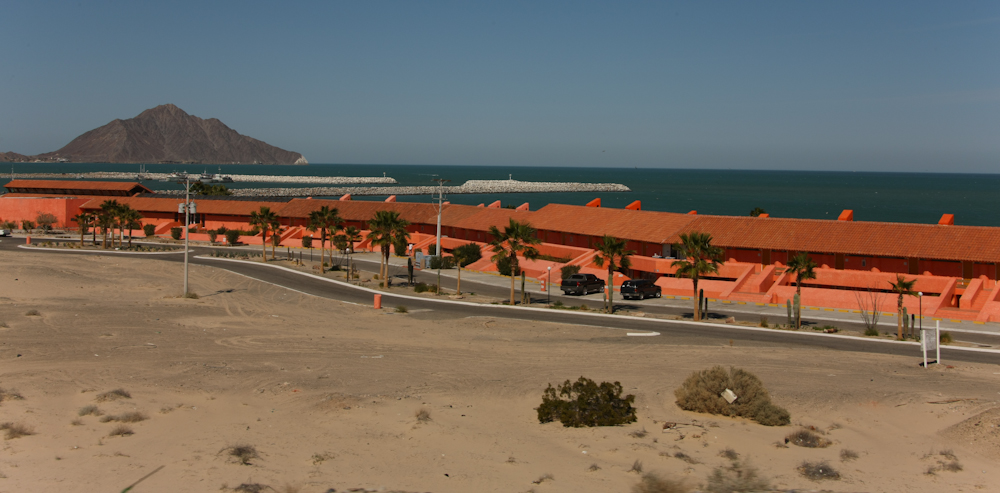
San
Filipe
used to be a small, sleepy fishing village. Not anymore.

But
despite
its growth, San Filipe is not immune from the "abandoned
construction project syndrome". Many places had a slab with
rebar, but no walls.

I
generally like Mexican architecture, but the Kermit green is
somewhat
over the top.
We
got
diesel, ice and some seafood for dinner in San Filipe and then
headed north on Mex 5 to the turnoff for Guadalupe Canyon.
Along
the way, we passed the delta for the Colorado River which is a
huge
expanse of mud flats and semi-dry salt lakes. It also
provides
the sand for the Altar dunes. The smoke on the horizon is
not
smoke, but rather steam from the geo-thermal plants at Guadalupe
Victoria. GV is the epicenter of some big recent
earthquakes, the
largest just a few months ago at 7.2 on the Richter scale.
We
took the turnoff and aired down for the trail. Close to the
trail
were these dunes on the side of the volcanic hills.

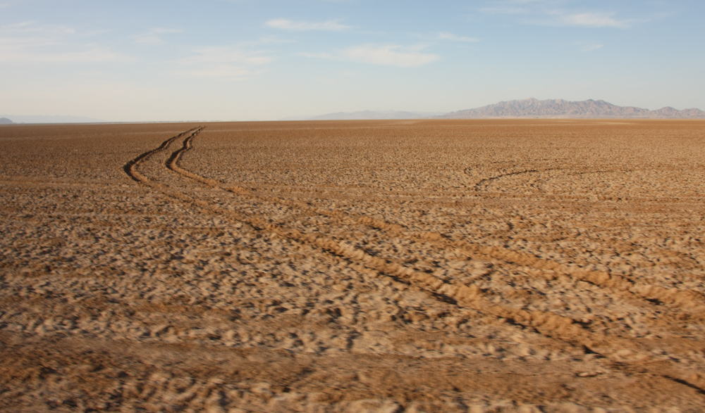
Our
trail took us across the south end of Laguna Salada (salty
lake).
Above you can see the dust trails of one of the group who where
far
ahead of us.
Laguna
Salad is usually dry. But, with the recent rains, there were
many
wet spots. This fellow cut some deep groves in the lake bed
surface. If you get stuck, you have a whole bunch of work
waiting
for you. Having a winch will not help since there is nothing
to
winch against.

This
spot produced some interesting sensations for the driver.
Truth
be told, we got lost. We did several hours of wandering
around
until we got our bearings and were back on the correct
track. We
all had GPS, but without a valid map, all the GPS says is "you are
here". The correct track, however, was part of the Baja 1000
race
course and was very rutted and super-slow going. We did not
arrive at the camp ground until 9pm, well after dark. During
our
transit of the palm grove at Guadalupe Canyon, I tagged the awning
on
the side of the camper. The palm left some small nicks, but
I
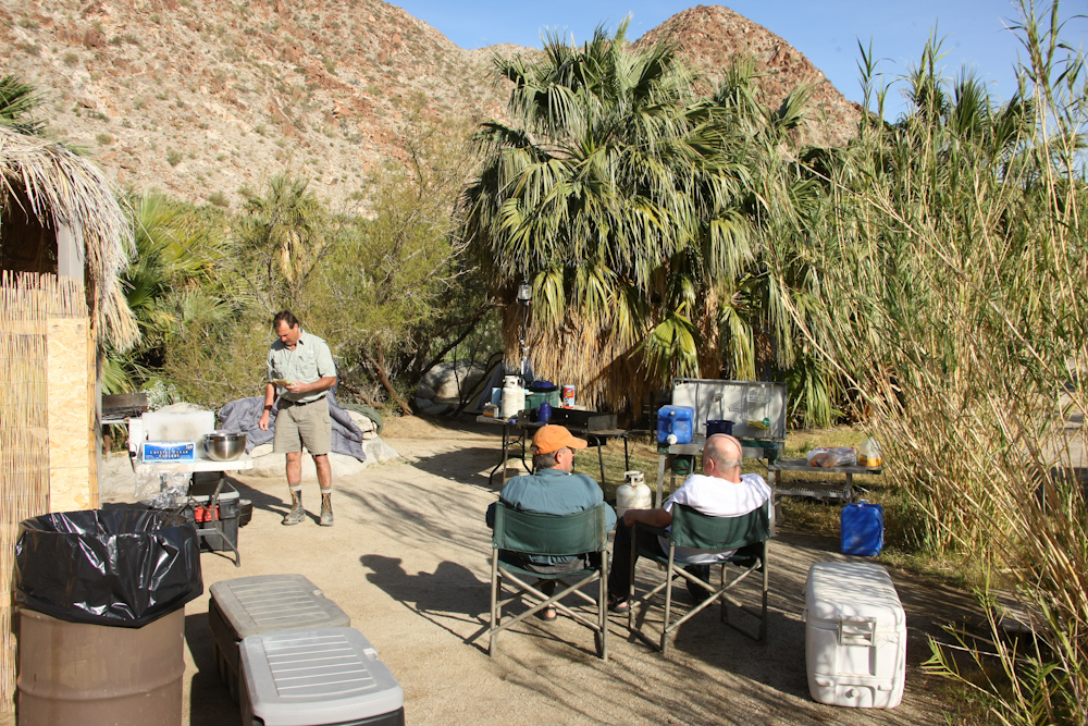
think it is usable as is. Once we hit camp, Matt and Nancy
cooked, we ate and hit the hot tubs. All in all, it was a 13
hour
drive across some pretty nasty roads. I think this was a new
record. Next morning was a pretty late start.
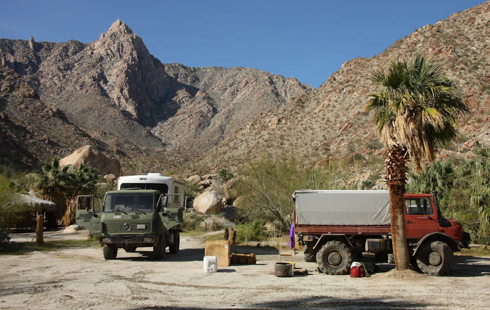
The
winds were calm in the canyon and it was quite pleasant.
Above, a
view of Pico Guadalupe.
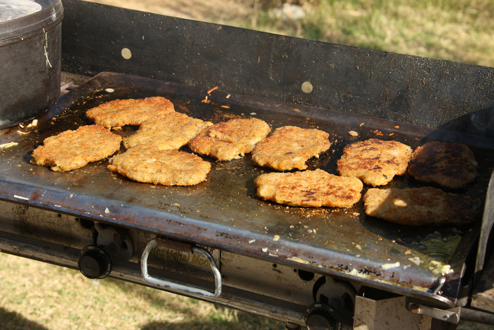
Kai
made chicken fried steaks, hash browns and eggs for breakfast.
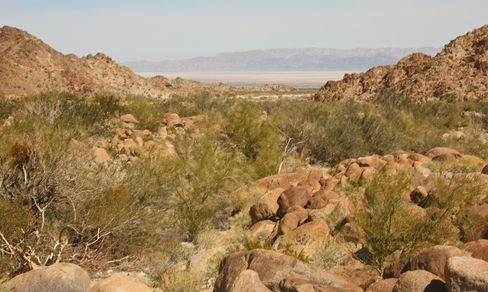
As
we were leaving camp, we got a nice view down the canyon to Laguna
Salada.
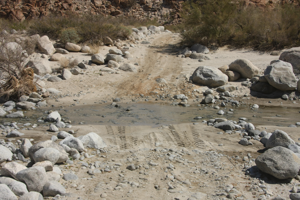
There
was a small bit of water in Arroyo Guadalupe but nothing to
indicate
the previous rains.
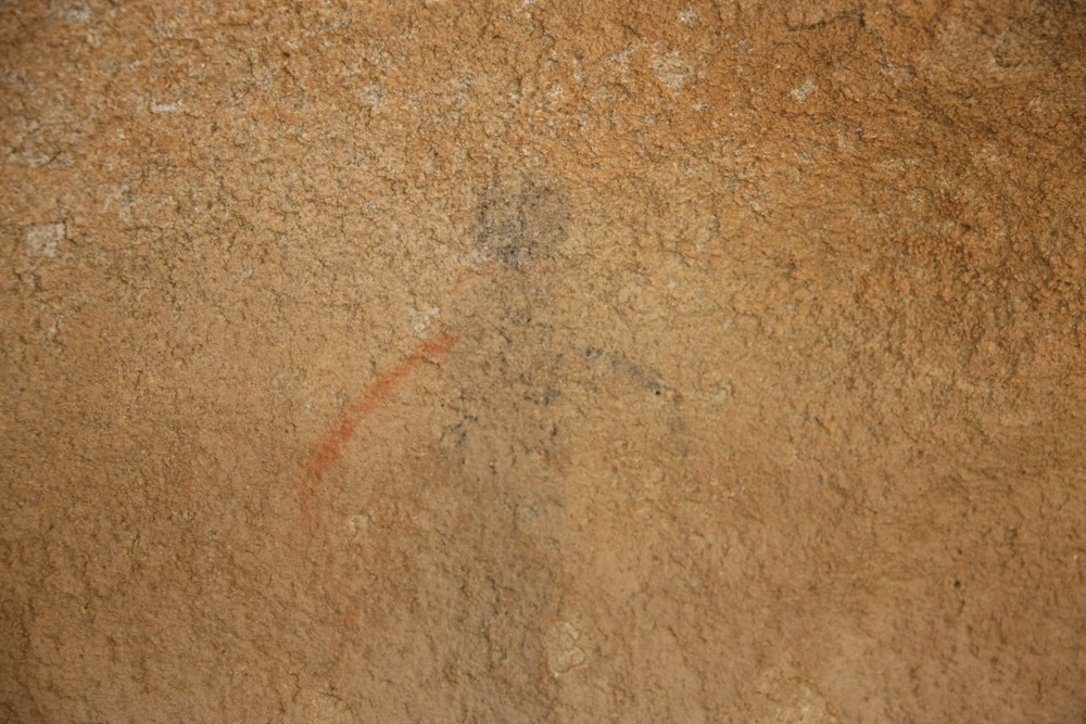
Since
our return path took us right past some cave paintings, we did a
brief
stop before attacking Laguna Salada.
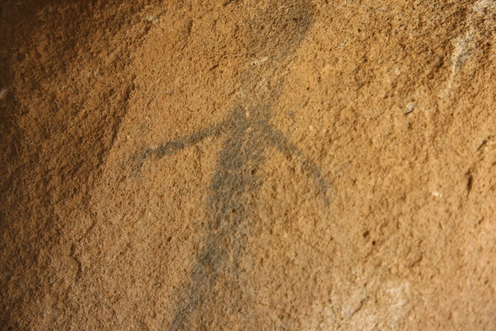
The
paintings are somewhat faded, but it is remarkable that they are
there
at all.
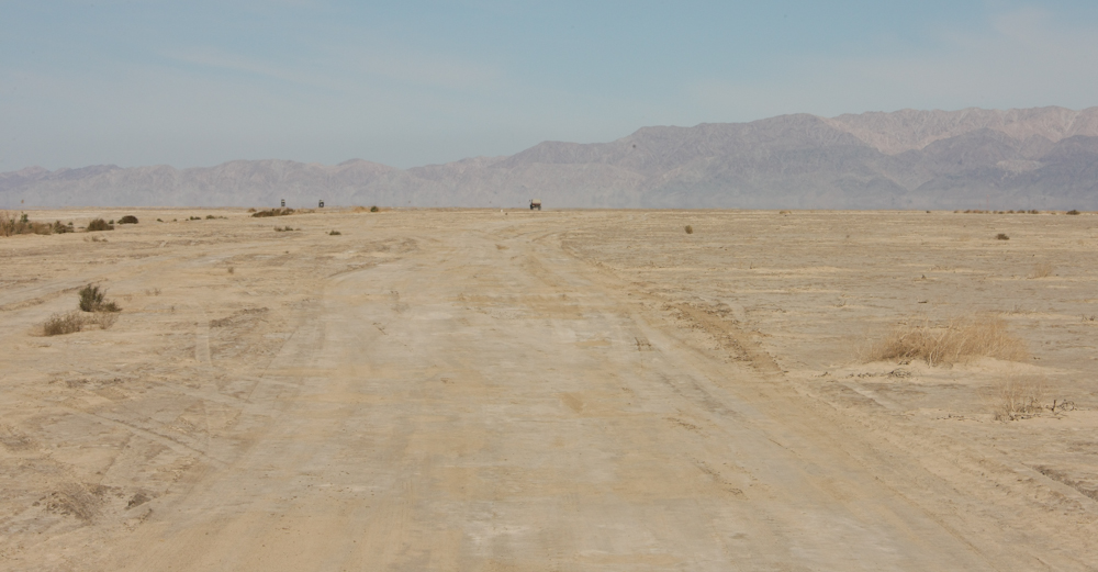
Laguna
Salada was generally dry and provided a reasonable travel speed of
about 30 mph. We might have been able to go faster had we
not had
low tire pressure. High speed with low pressure will damage
your
tires and generate a blowout. Ask me how I know.
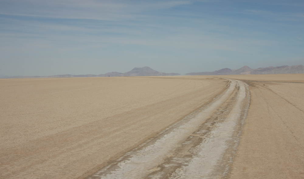
Once
you get into the center of the Salada, you are in for the
duration. Unless the surface has been disturbed, it is
mirror
flat.
Once
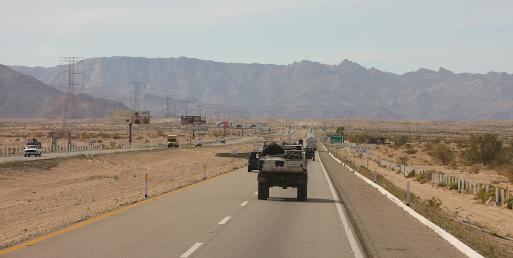
we hit Mex 2, we aired up and headed west into Tecate.
| Previous Adventure | ||
| Trip Home Page |
Photos
and Text Copyright Bill Caid 2011, all rights reserved.
For your enjoyment only, not for commercial use.