We spent a great night in the camper. Kathleen cooked a great dinner and we sat by the fire and listened to the music of the rushing water in the Virgin River. The plan for the day was to complete our back-track to UT 9 and then head to Bryce Canyon for a drive-by. From there, we planned to camp at Kodachrome Basin State Park. The photos below are what we saw.
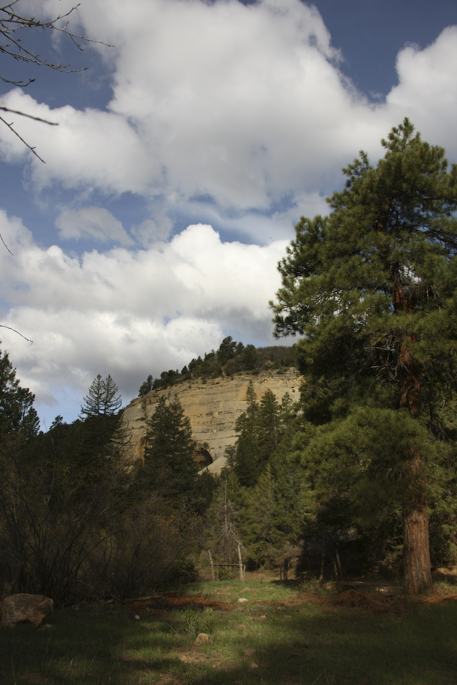
The dark clouds of the previous afternoon gave way to broken clouds in the morning. This is the view from the porch of our camper.
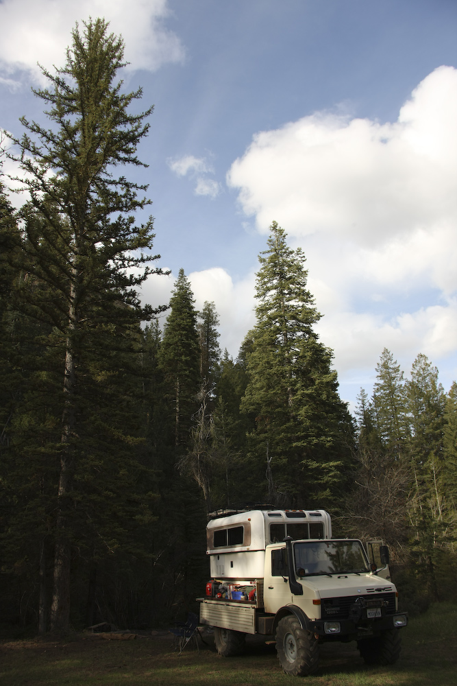
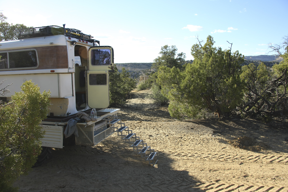
We completed travel preparations and broke camp for our trip south.
The back-track route provided a good view of the Kolob Terrace. Once we hit UT 9, we headed east, then north on US 89.
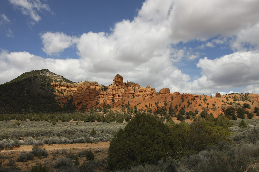
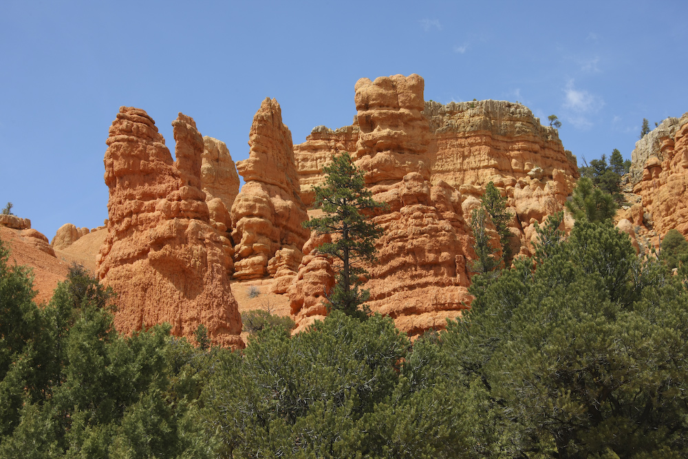
We stopped for lunch in Hatch and then took the turn on UT12 and headed east to Bryce. Just west of Bryce, the road heads through Red Canyon. These structures are at the mouth of Red Canyon.
More hoodoos in Red Canyon.
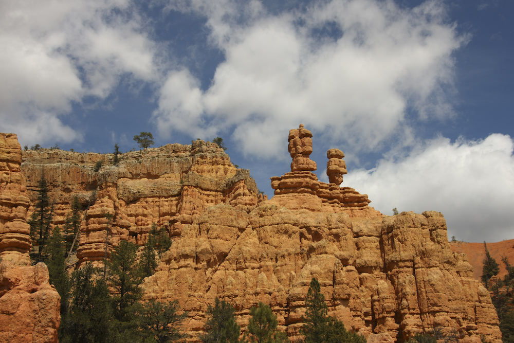
There were some nice, well formed hoodoos easily visible from the road (UT 12) in Red Canyon. We stopped for a few photos and then motored on.
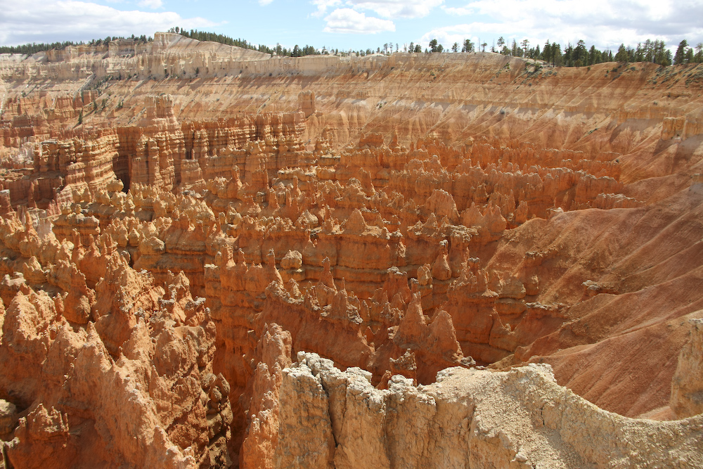
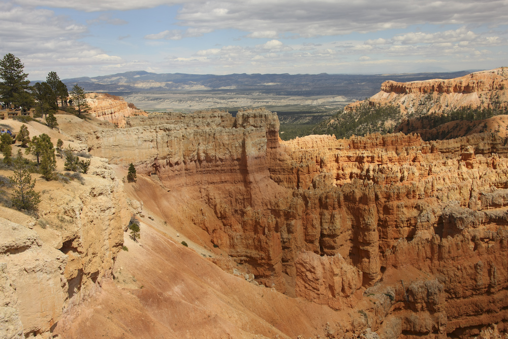
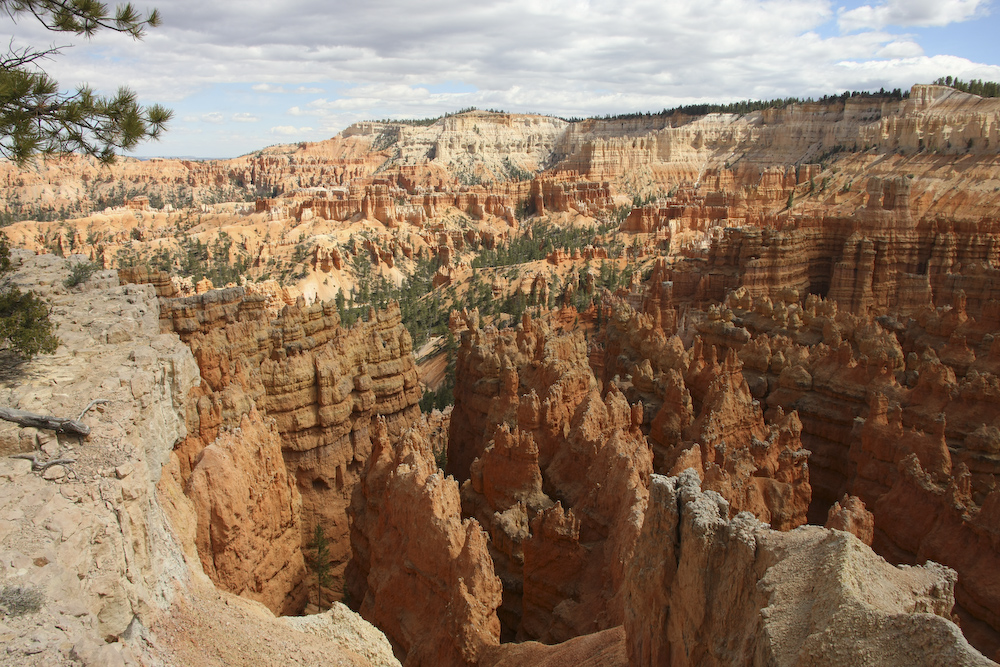
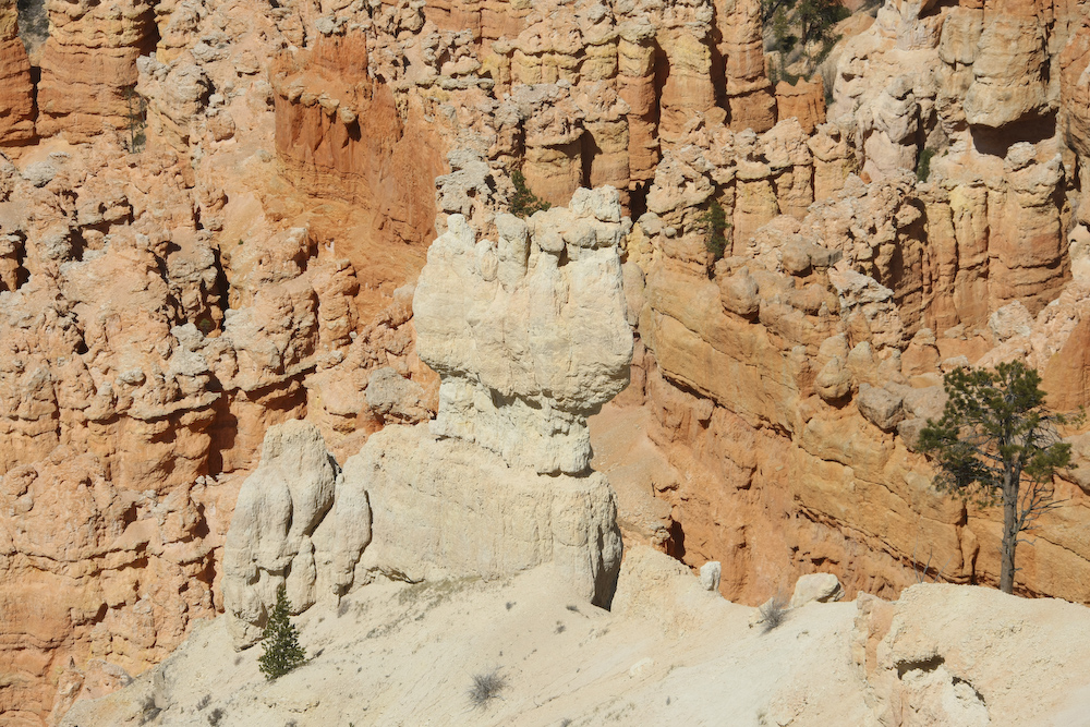
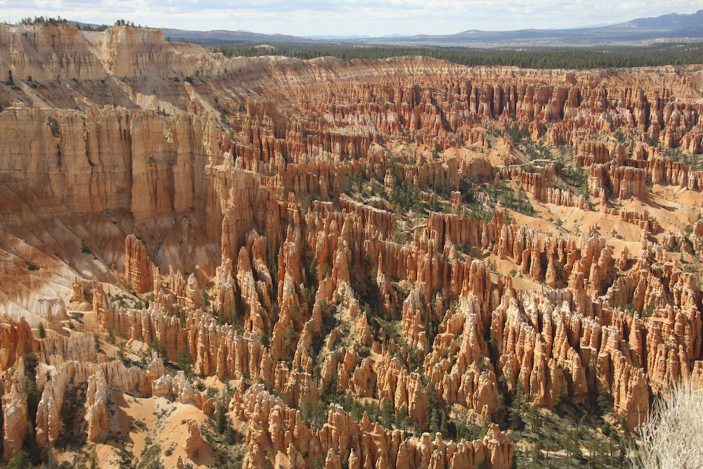
Bryce Canyon is one of my favorites. All the popular viewpoints are on the rim of the canyon and overlook the fields of intricate hoodoos and narrow canyons.
The colors here are fantastic, but the intricate detail and structure of the hoodoos is what is so special about Bryce.
The coloring in the strata add drama to the fine structure of the eroded patterns.
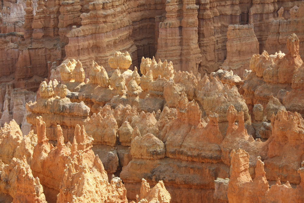
Wind, rain and freeze-thaw produce these intricate structures.
Some of these hoodoos are only a few feet across.
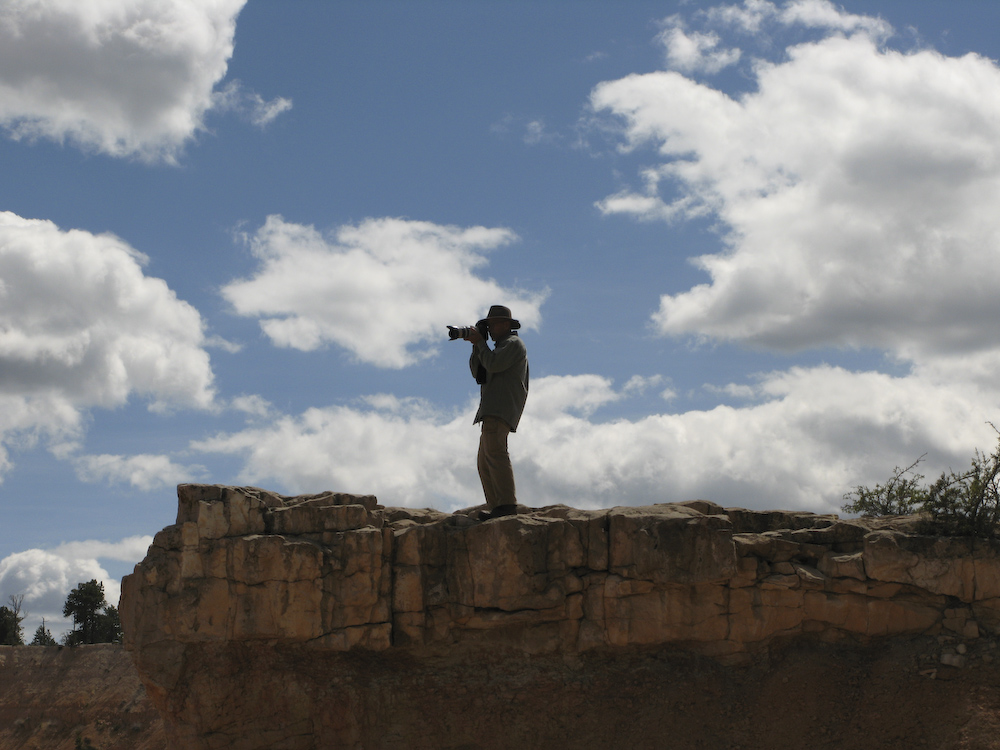
The wind was still blowing strong, making holding the camera steady challenging.
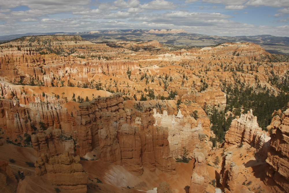
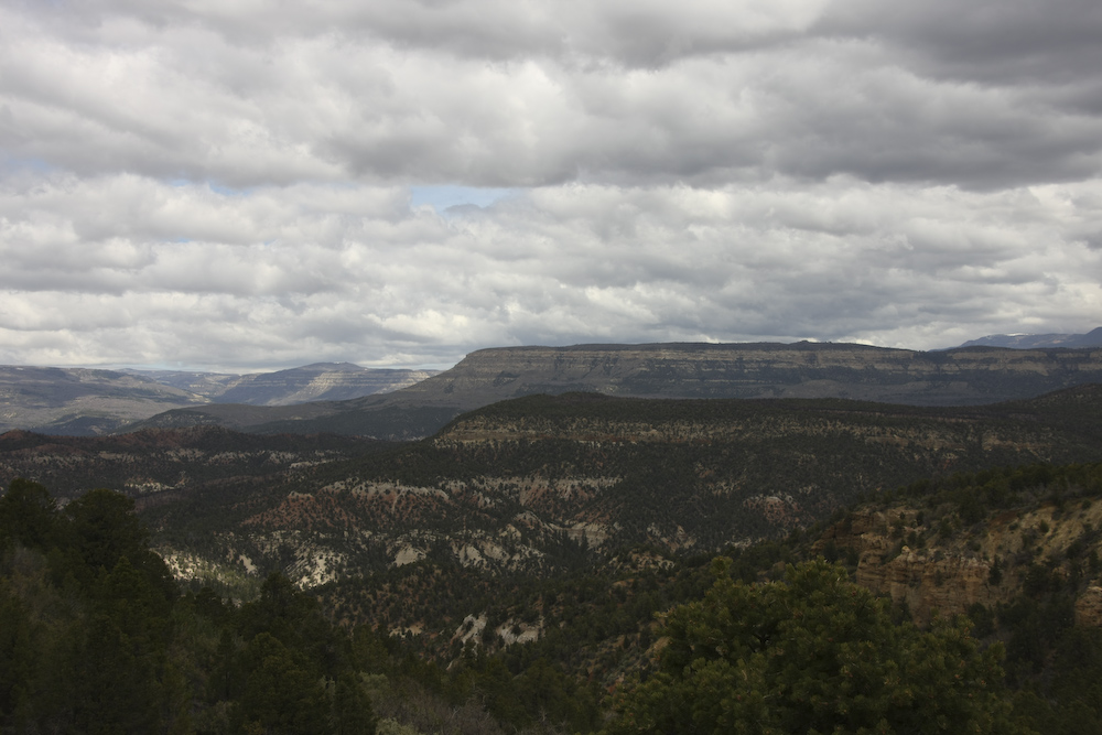
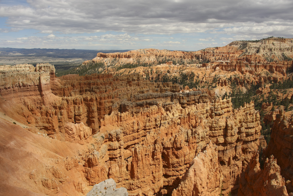
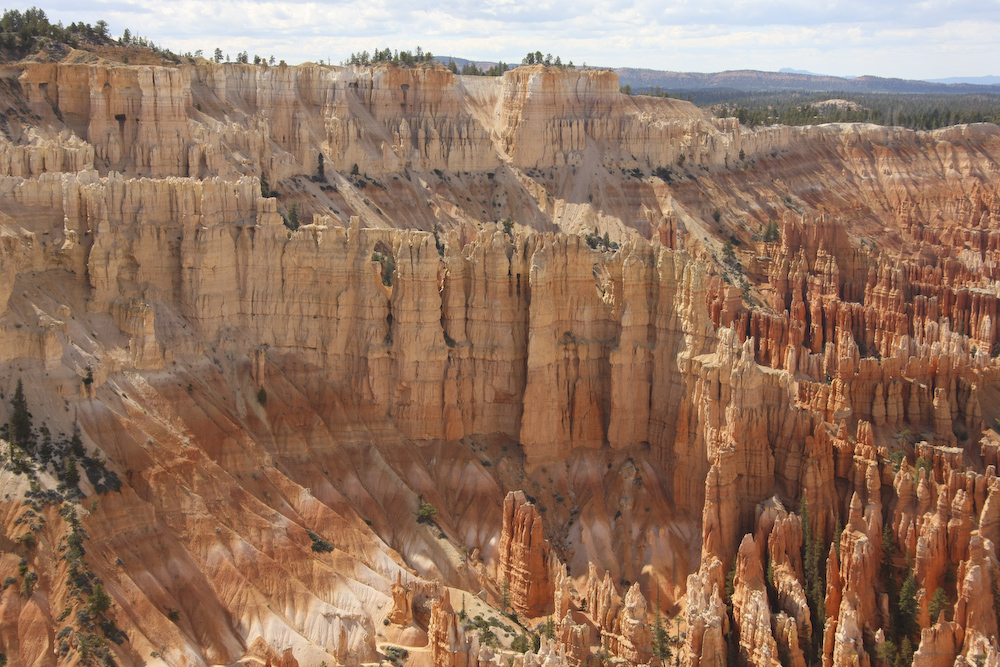
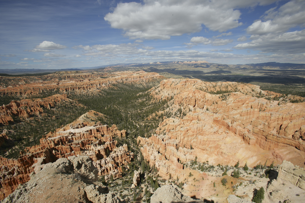
From the crest at the top of the canyon the distant structures of Griffin Top and Barney Top can be seen.
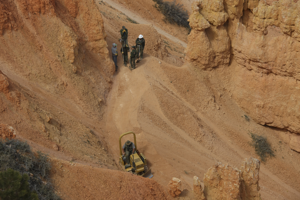
It is reassuring to know that all road crews are the same. Once there is a machine at work, all other workers will stand and watch. Here the crew watch the mini-dozer push dirt around.
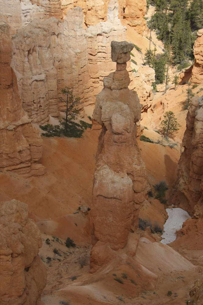
There was still snow in the deep gullies of the canyon. These hoodoo structures occur when there is harder cap rock overlying softer strata.
Hancock Peak in the distance.
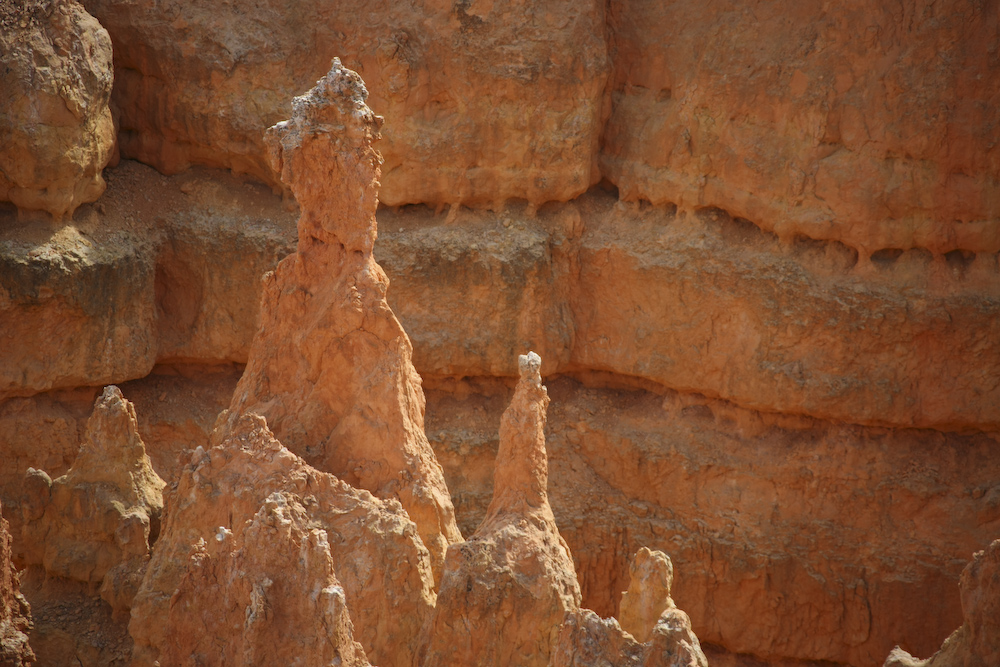
The layers and colors make interesting patterns in the rocks.
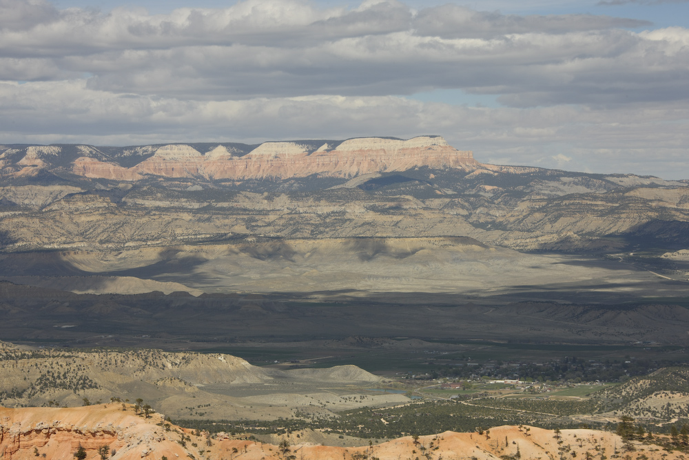
Table Cliffs on the skyline with the little town of Tropic in the valley.
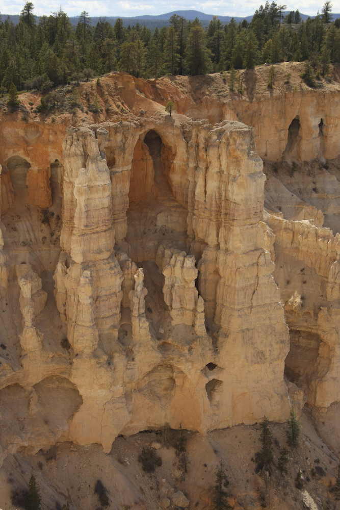
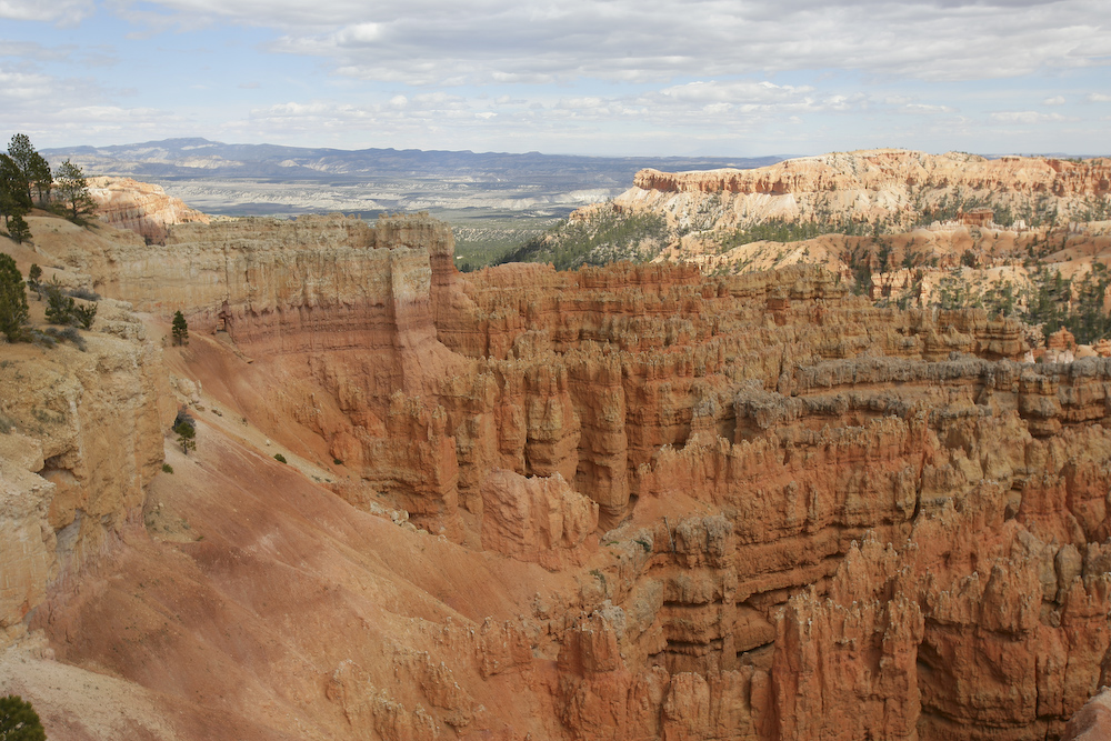
The strata at Bryce produce arches, columns and hoodoos.
Canaan Peak to the east of Bryce.
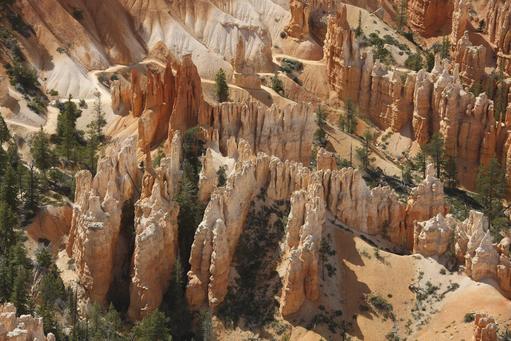
Deep into the canyon the hoodoos form from lower level strata.
The passing clouds provided interesting shadows.
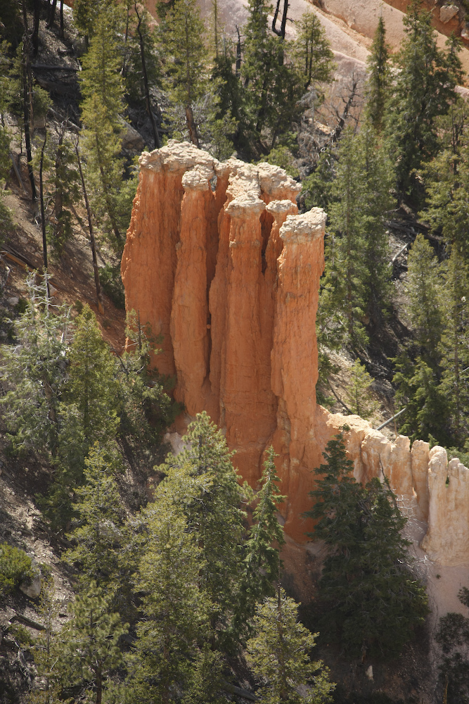
This structure was reasonably deep into the canyon.
This is the before photo. As mentioned earlier, the wind was blowing very hard making holding the lens steady a chore.
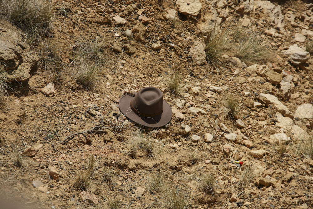
My expensive Akubra hat sitting in a canyon 50 feet below my position and totally beyond recovery. The wind took it before I could react. R.I.P. It was a good hat, now it is just "tourist trash".
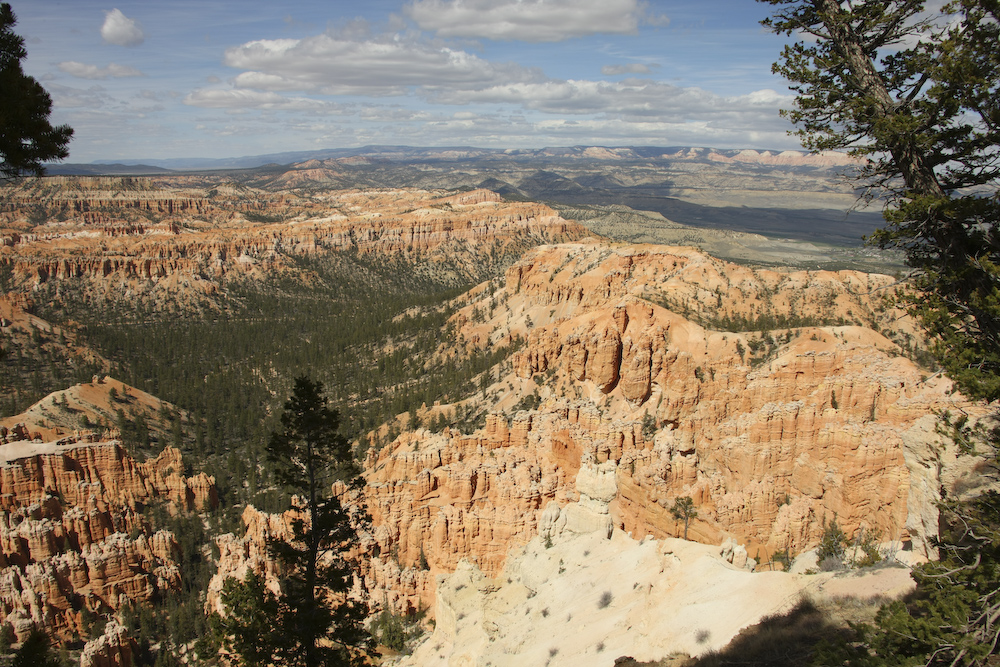
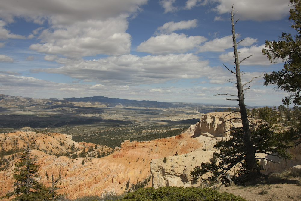
A wider view of the canyon.
Note the colored bands in the cliff walls.
A parting shot of Bryce.
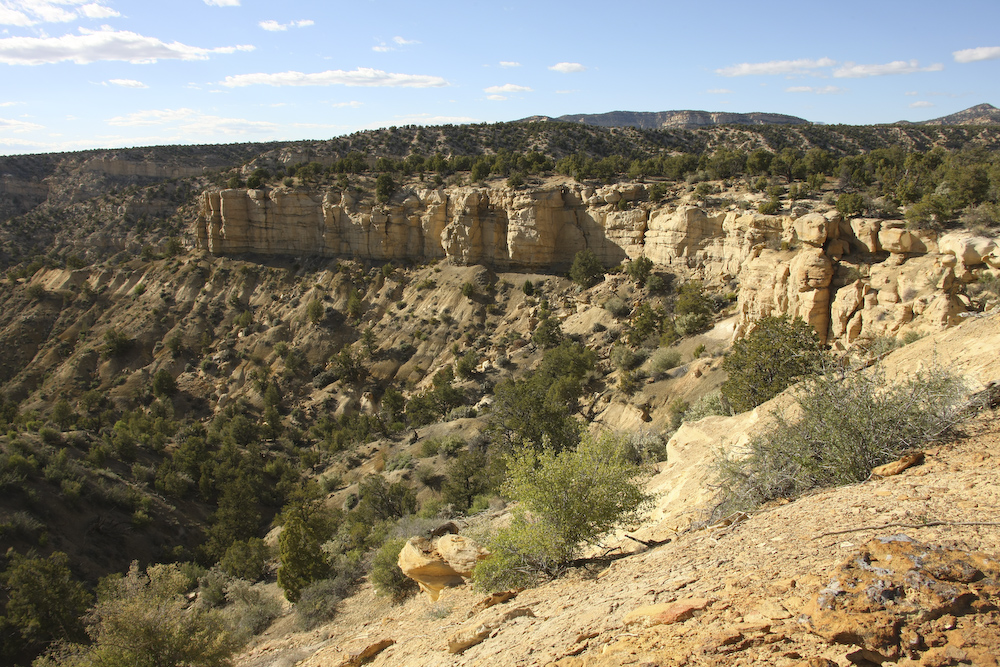
When we finished at Bryce, the plan was to head down slope to Tropic, then south to Kodachrome Basin State Park. But, it was late in the day and when we got there, the campground was full. So, we pressed on. Another 10 miles down the road, we took a north turn and went until we found a power line access road which we followed until we hit an acceptable camp site. Above is the view from our camp looking west.
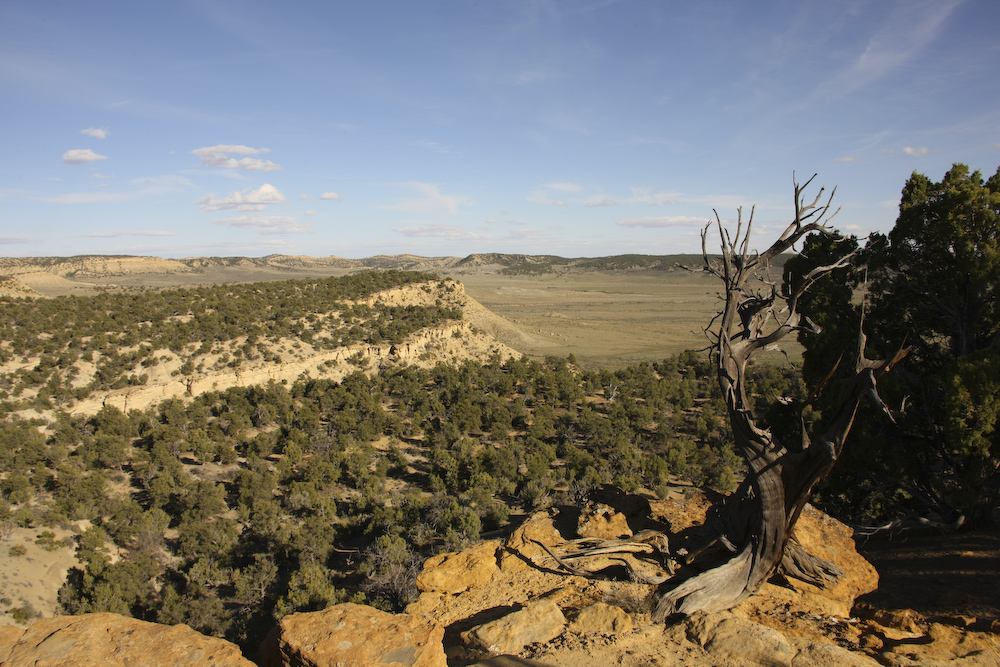
From our camp, looking east. The "main" road is in the middle of the far valley.
We were on a saddle and had views both east and west.
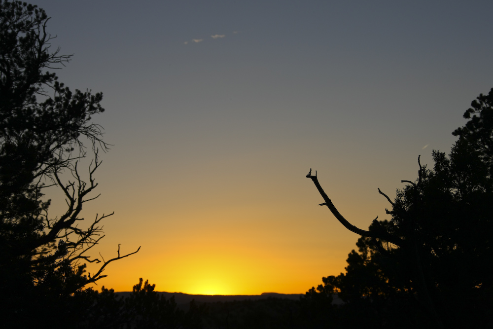
We were treated to a modest sunset, but at least the hurricane force winds had abated somewhat.
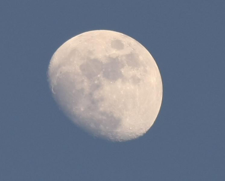
The moon was nearly full and was rising before sundown.
Yet another great day. It was pretty cold earlier in the day. The upper portions of Bryce canyon are at about 8,000 feet so it was cold and the wind did not help matters any. I could have done without losing my hat, but the good news is that I had a spare hat with a leash. It was my fault that I lost it, of course, for wearing it at all in high wind. Tomorrow, we would head south down the Cockscomb into Page, AZ for a re-supply and then north into the Grand Staircase.
| Previous Adventure | ||
| Trip Home Page |
Photos and Text Copyright Bill Caid 2008, all rights
reserved.
For your enjoyment only, not for commercial use.