Our objective for the day was to do a drive-by on Zion National Park on our way to another attempt to cross the Kolob Terrace. The photos below are what we saw.
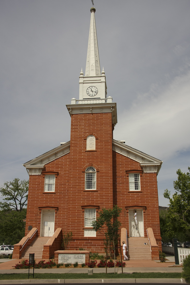
As we drove out of St. George, we passed one of the many LDS churches in the area.
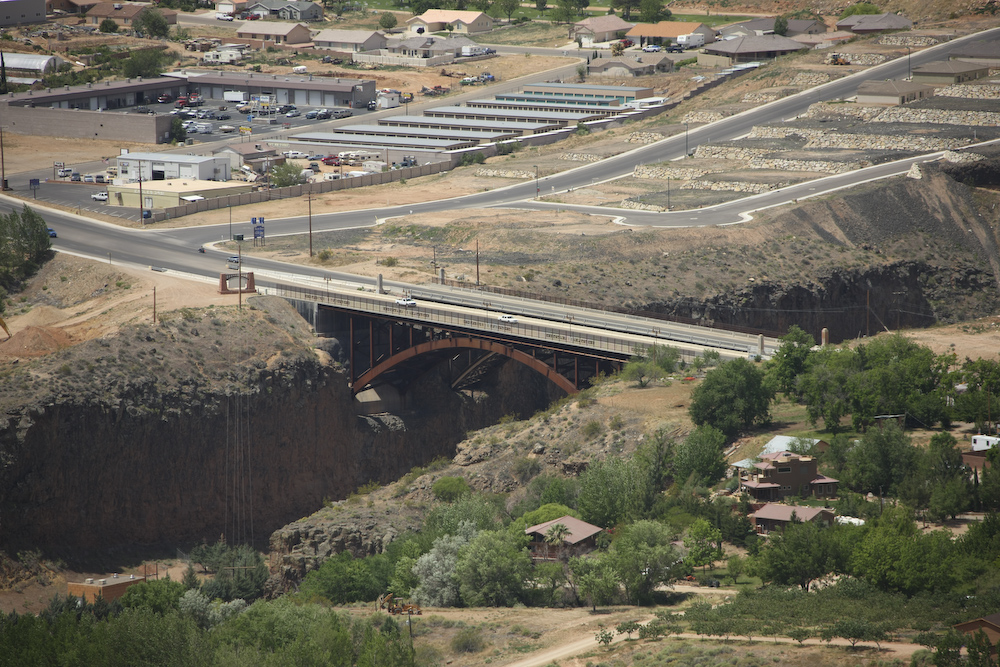
UT 9 passes over the Virgin River canyon and has a nifty bridge by the small town of La Verkin.
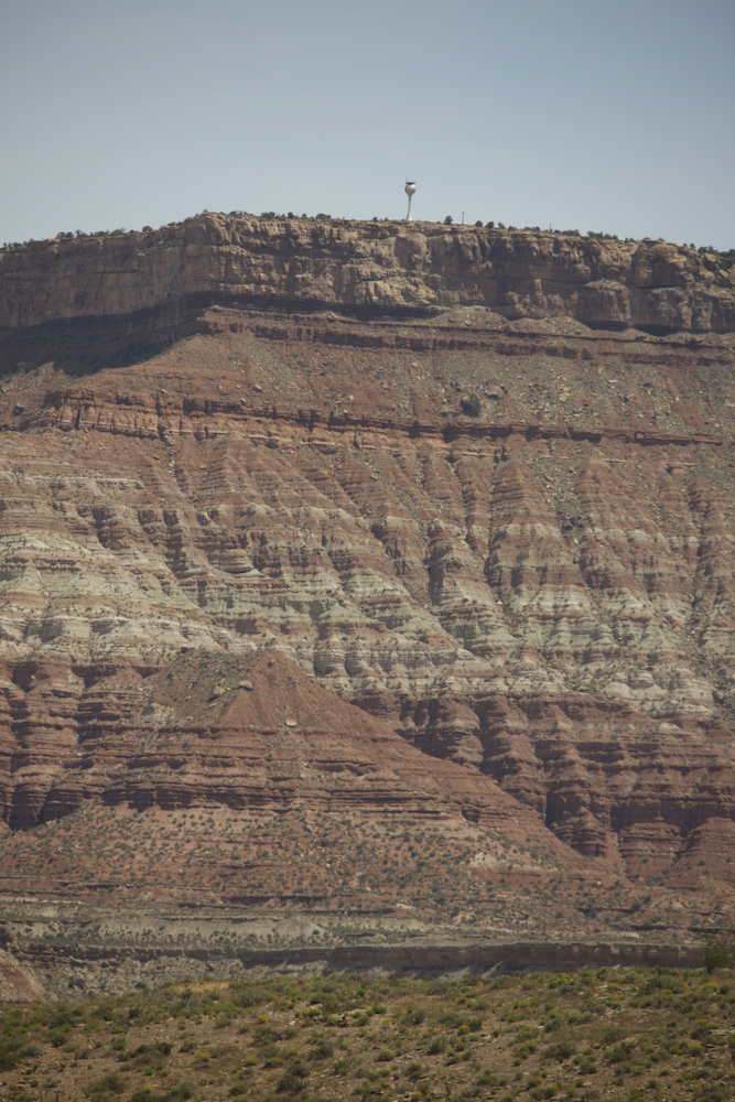
Hurricane Mesa has a military parachute test facility. The claim is they hurl test packages off the cliff to test the effectiveness of the parachutes.
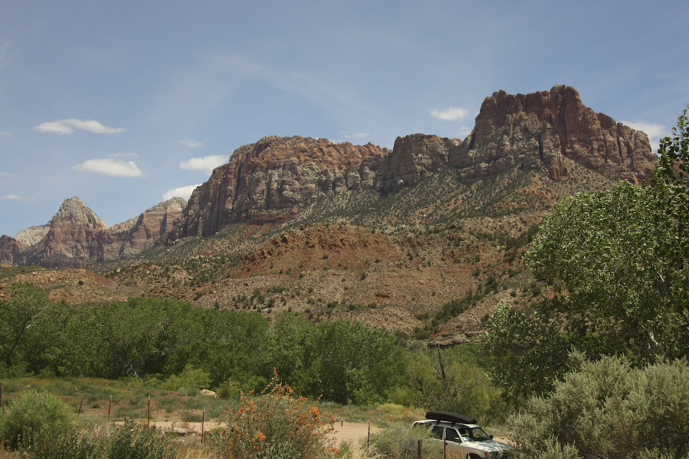
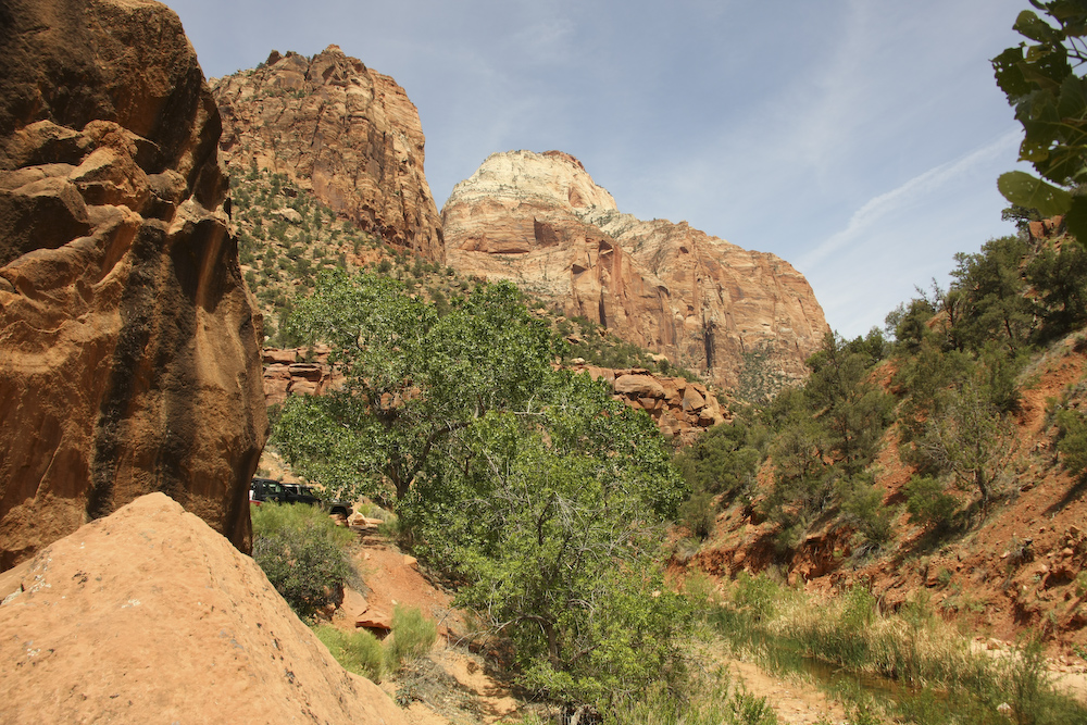
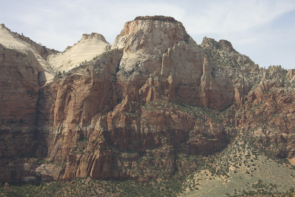
The west entrance to Zion park is bounded by large cliffs along the Virgin River. Nearly every structure in Zion has a name. Based on my somewhat sketchy map reading skills, I think the structure on the right is "Johnson Mountain" and the one on the left is "the Watchman".
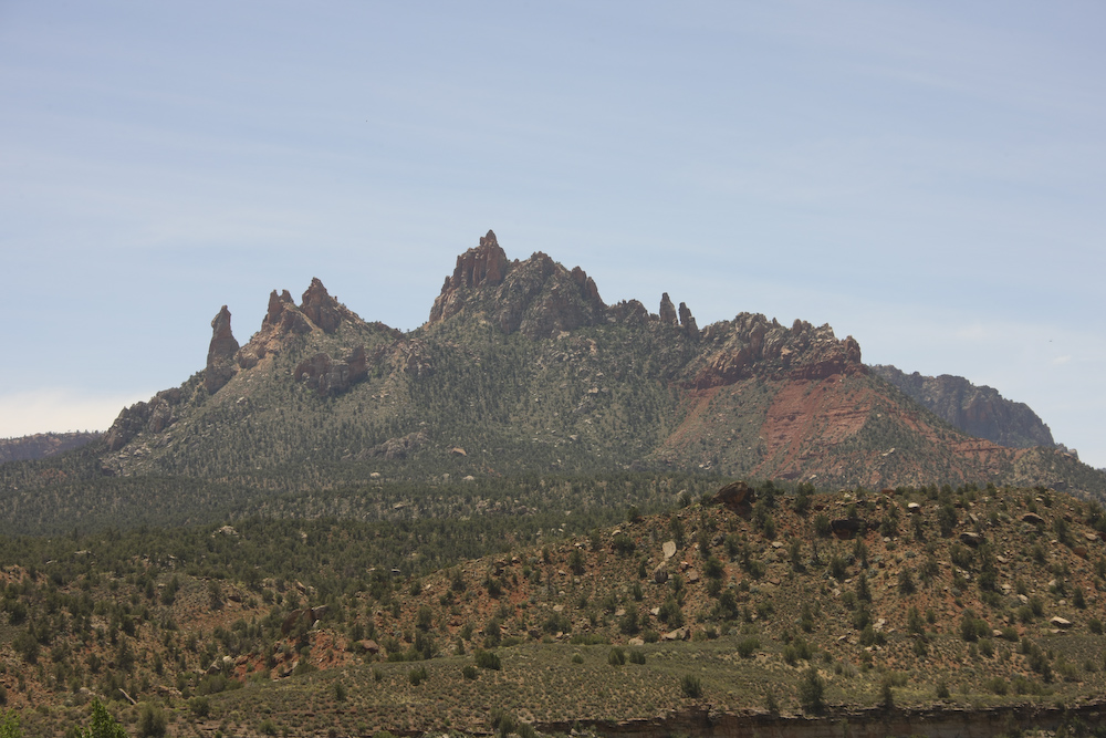
Eagle Crags, south of the entrance to Zion at Springdale, UT.
Bridge Mountain.
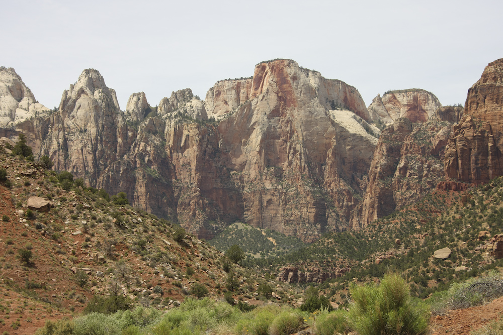
The West Temple.
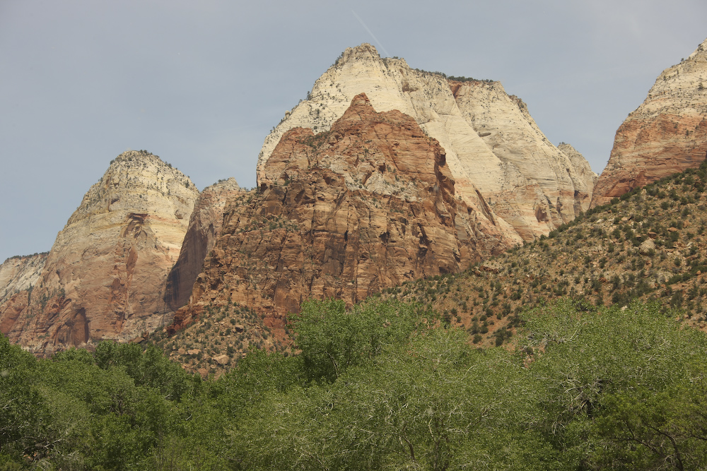
Mountain of the Sun.
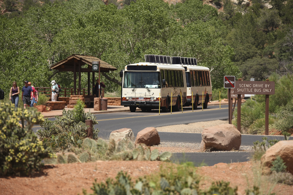
The public has "loved the park to death". So much so, that now, all access to the upper regions of the park are by bus only. And, if the parking lot is full, then despite your multi-day drive to the park, you are out of luck. The good news is that the busses run frequently.
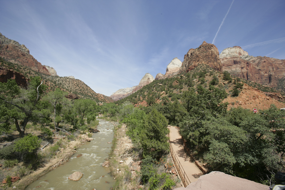
A view up the Virgin River.
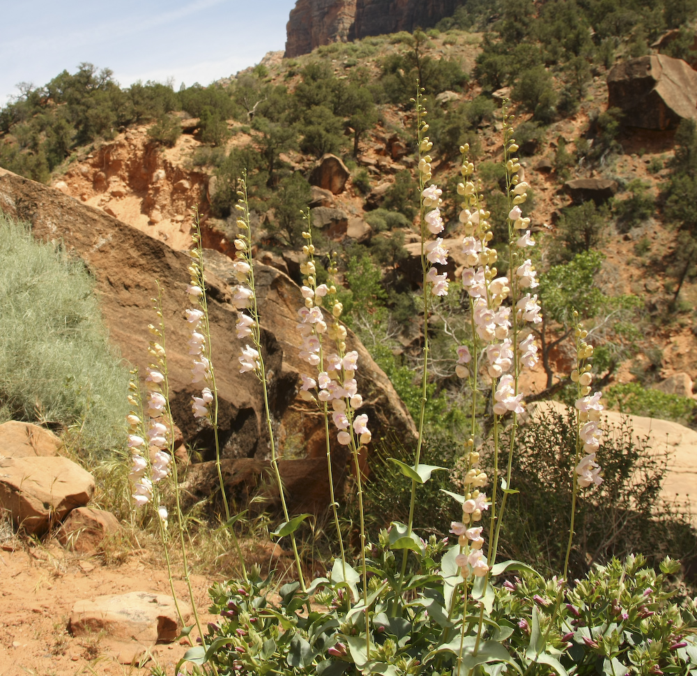
I looked in my flower guide online, but was unable to locate this one.
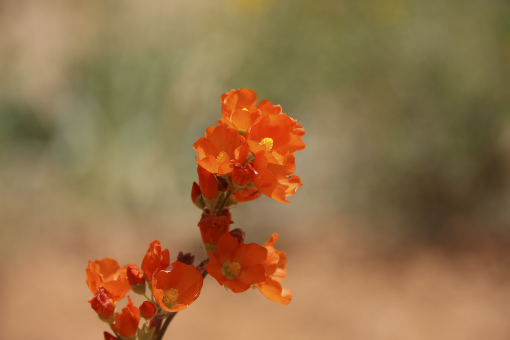
I think this is Apricot Mallow, but despite looking it up in an on-line guide, I am not sure.
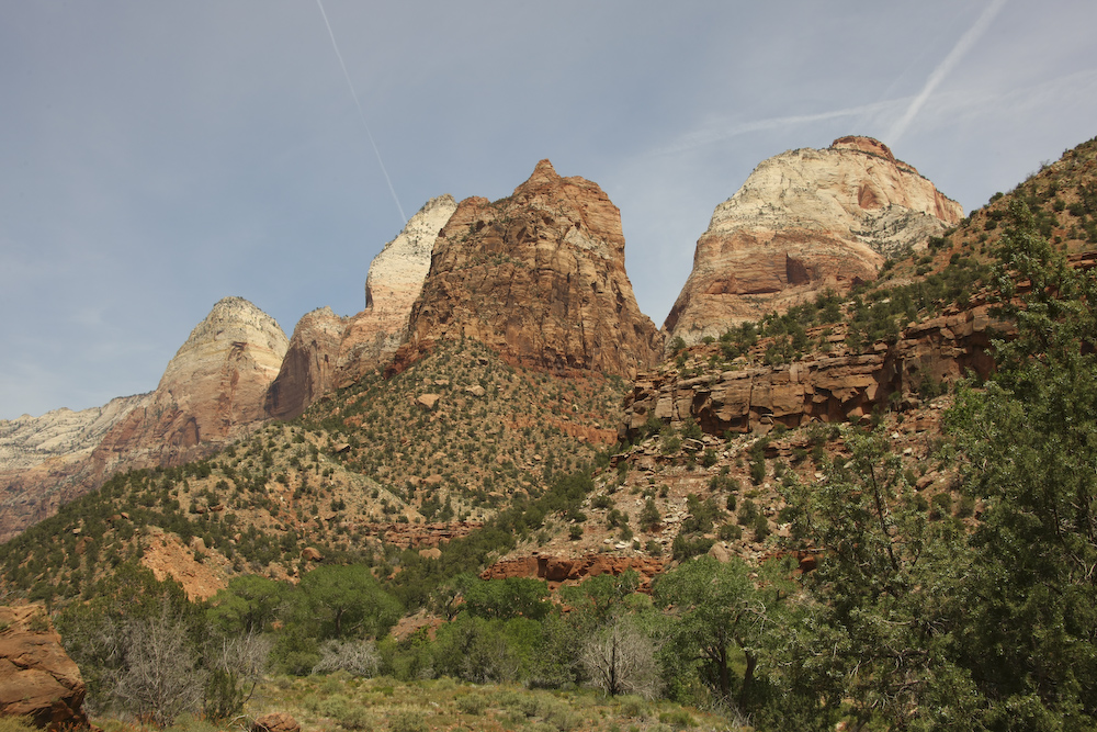
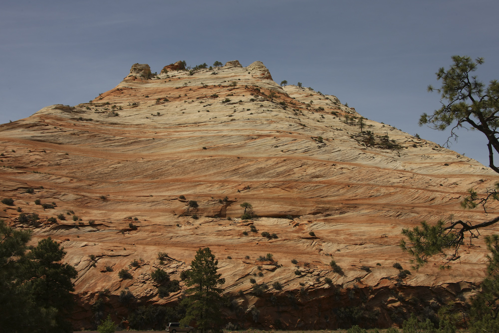
Mt. Spry.
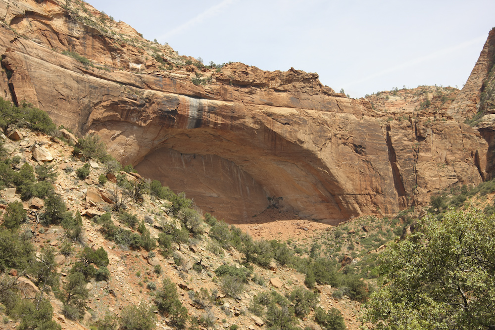
A nice rock arch visible from UT 9 en route to the tunnels.
UT 9 ascends the face of the mountain and then then enters a tunnel nearly a mile long. The holes in the cliff are for ventilation and removal of tunneling spoil during the construction process. The highway is inside the cliff.
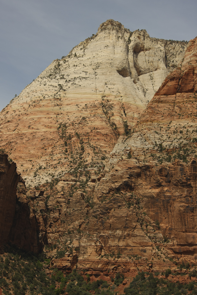
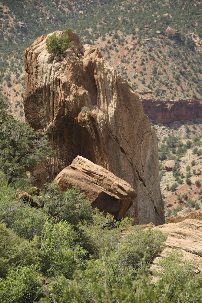
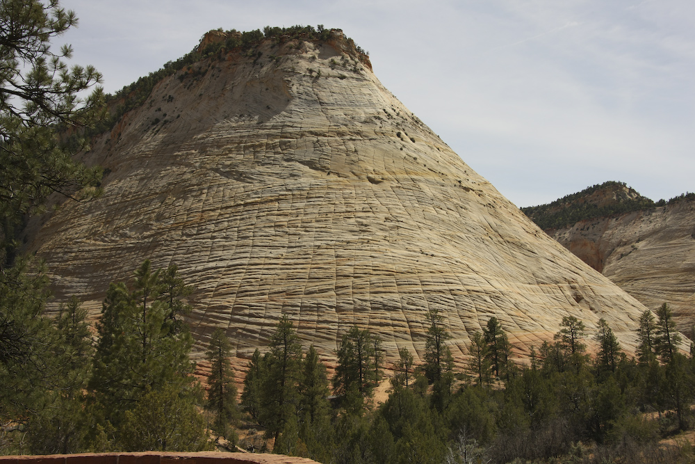
One of the many nice red and white sandstone peaks.
The Sentinel.
These cliffs are not always stable This VERY large chuck fell off the cliff and came to rest on the north facing slope.
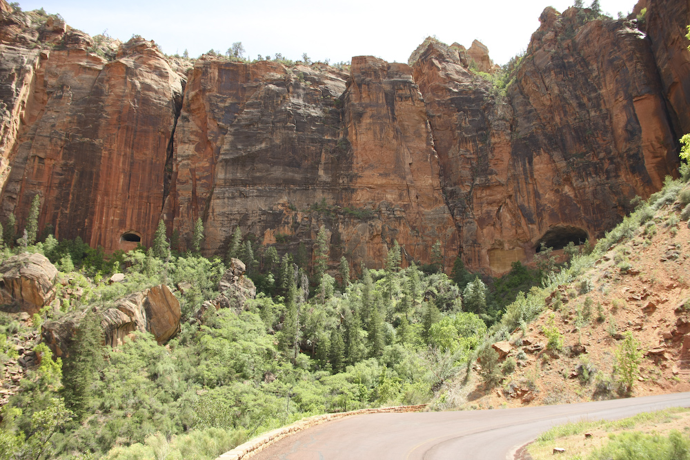
On the east side of the tunnel, the road is on top of the canyon providing better views of the structure of the cliffs.
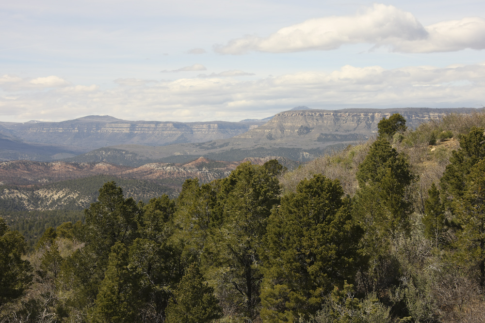
The views on the upper highway were magnificent.
The contrast of the red and white colors were beautiful.
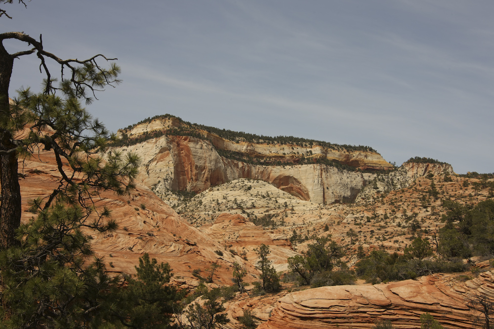
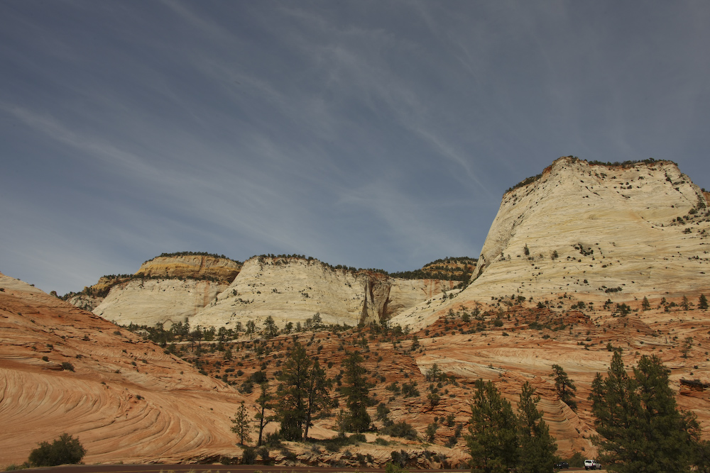
This structure is named "Checkerboard Mesa".
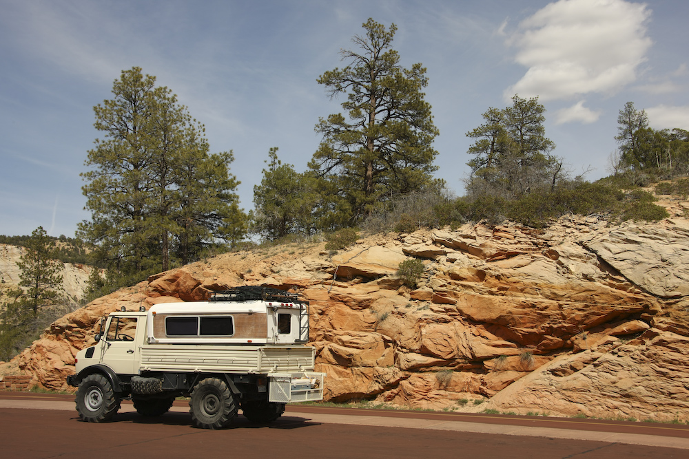
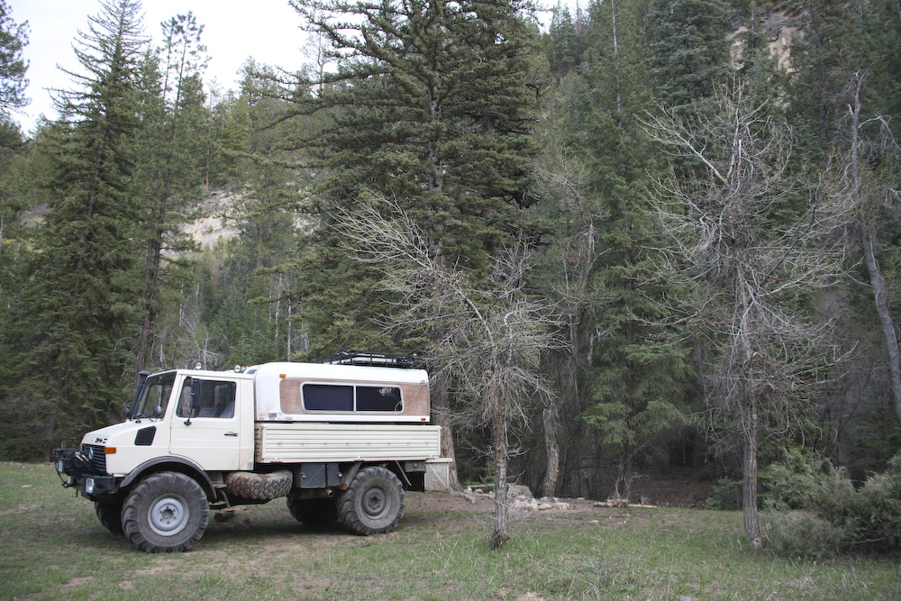
The unimog in context.
Once we left Zion, we headed north on the "North Fork Road" that would take us over the Kolob Terrace, past the North Fork of the Virgin River trail head and past Navaho Lake. It was a good plan in theory, but less so in practice.
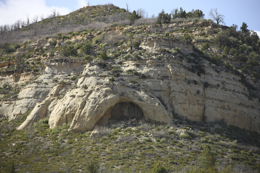
Thirty miles or so north on North Fork Road we passed this arch.
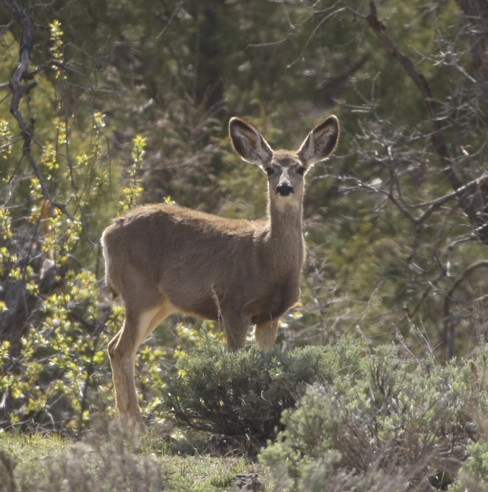
We saw tons of deer. Usually, they were in herds of 3-5, but this doe was a loner.
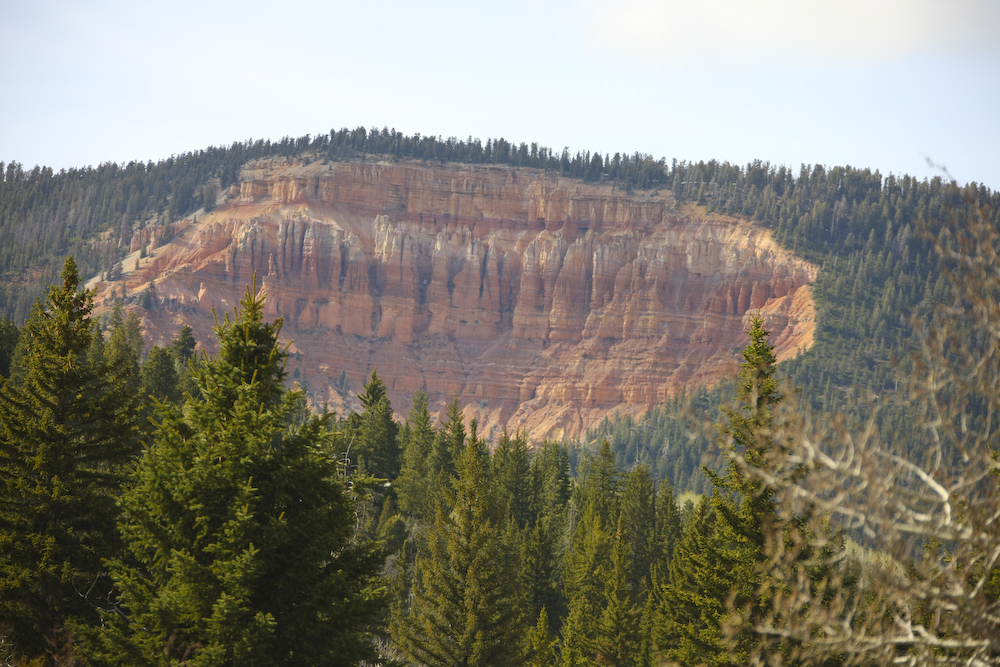
Colorful cliffs just below Navajo Peak.
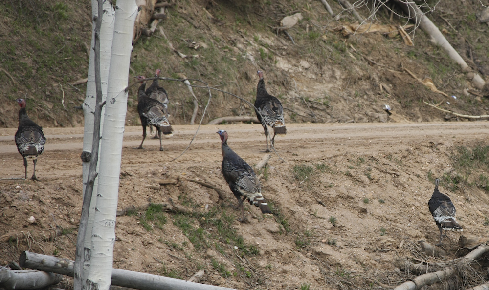
There was lots of game in the area. Here wild turkeys march past like they own the place. They do, of course.
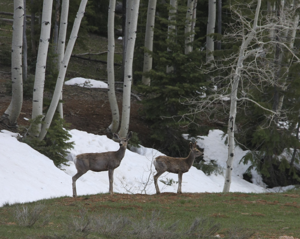
The deer herds got bigger and more frequent at the higher elevations. The snow became more frequent and the banks deeper.
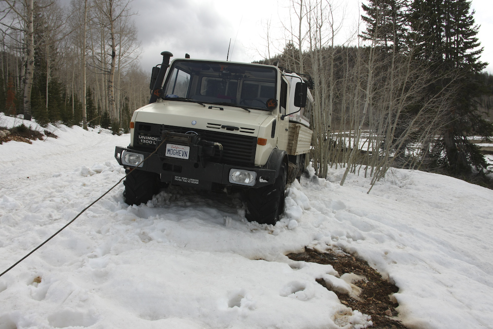
After perhaps 40 miles of dirt road, we passed beyond the nearly 10,000 foot Navajo Peak. The road was on the north side of the ridge, and therefore was shaded from the action of the sun resulting in substantial snow banks. We attempted to navigate through the shallow part of the drifts, but the lip of the roadway collapsed due to the wet soil. We slipped sideways and we headed no way but down. So, we hooked up the winch and prepared for an extraction. We were the first vehicles through this area, so we had to bust through many snow banks to get this far. Plus, our map showed that we were just a few kilometers from the main road, so the urge to continue on was strong. It was late in the day, getting cold and a 40 mile back-track would have been no fun. So, we pressed on.
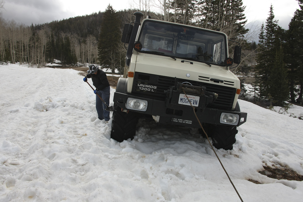
Kathleen gets up close and personal with Mr. Shovel, clearing the tire path before the extraction. The winch worked great and while we did slip down the face quite a bit before we were able to gain traction, it was a pretty easy job. That said, after we rounded the next point on the road, we had to retreat anyway. The next set of snow banks were too deep and appeared to continue for at least a kilometer. I guess in retrospect, given that we were at 9200 feet, we should have anticipated this, but the locals told us that the road was clear. But, independent of what they said, we decided to turn back. As luck would have it, we got stuck again in the same spot as the first time. This was a more difficult extraction, but we were able to accomplish it in about 30 minutes.
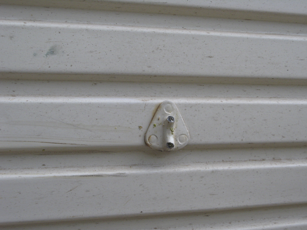
As part of the second extraction, we slipped into trees near the road and they ripped off one of my tie-down points. And they buffed the paint job a bit as well.
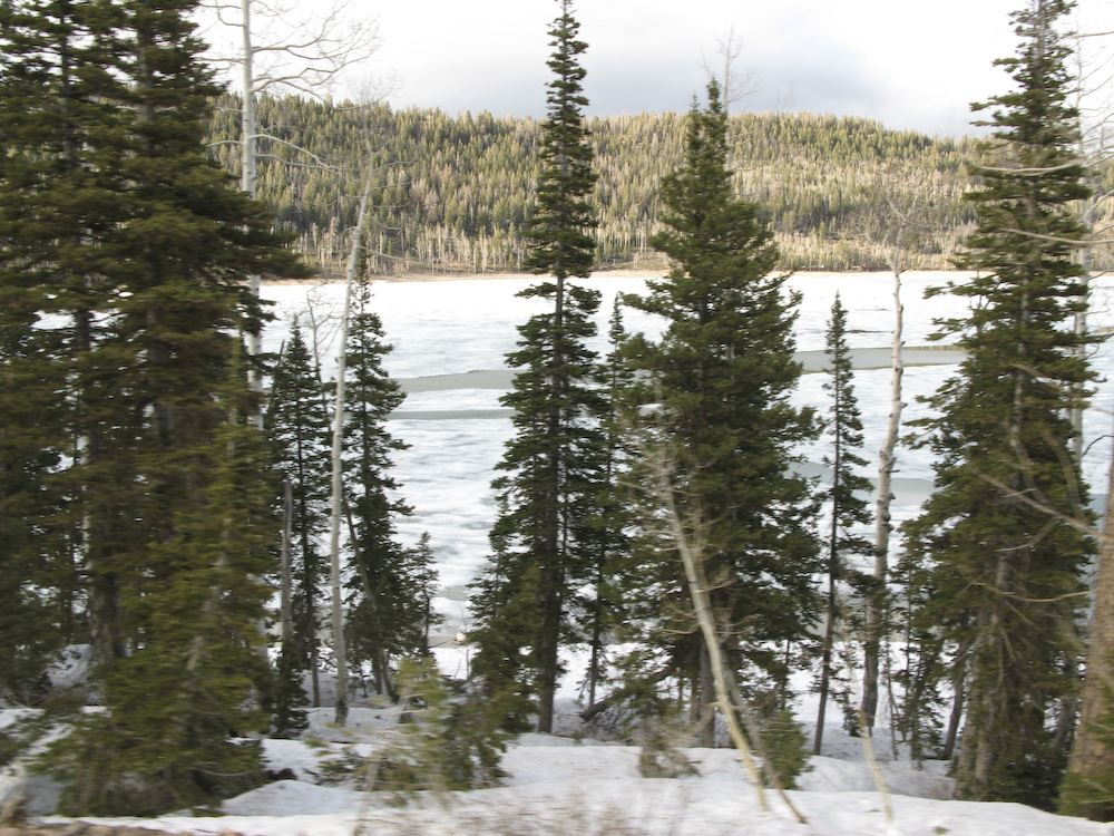
Just past our last extraction point, you could see that Navajo Lake was still mostly frozen. Happy to be mobile again, we headed back the way we came. On the way in, I was scouting potential camp sites "just in case" and this came in very handy. One of the best spots was just a few miles ahead and below 6000 feet. Since the weather was looking dicey, it seemed to be a good idea to get below the snow level "just in case".
The site we chose was in a small meadow, right next to the north fork of the Virgin River. The proximity to the river provided great background music for the snap, crackle and pop of the camp fire.
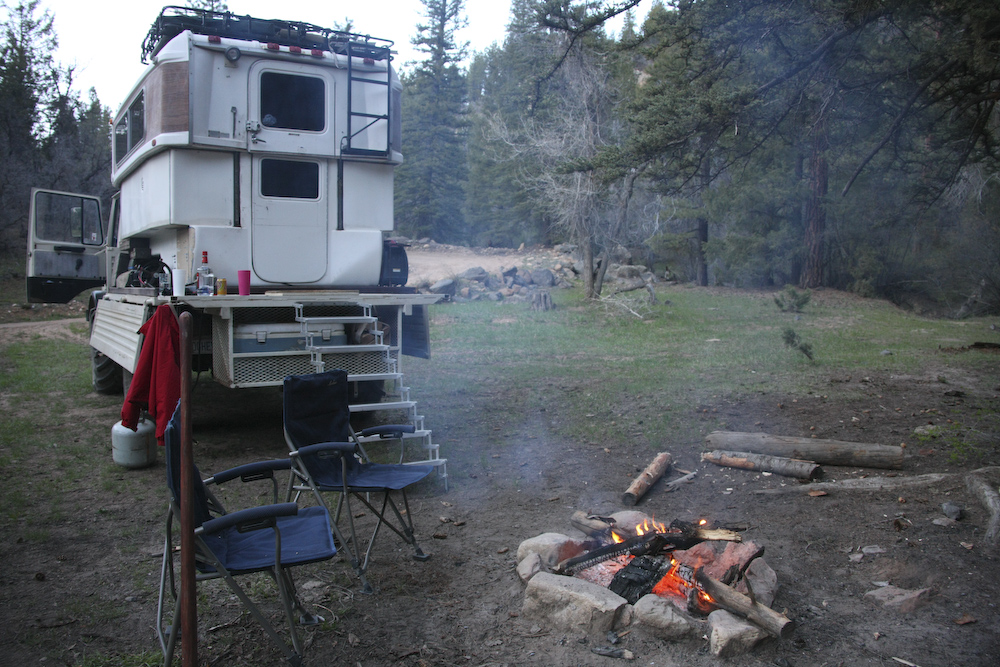
This was a great camp except for our proximity to the road. But, given the late hour and the general scarcity of level ground for camping sites, things worked out well.
Two winching exercises in one day was a bit past my threshold for pain. But, the good news was that we succeeded without external assistance. That was good, because there was no external assistance. We went all day and did not pass another vehicle. And despite the presence of a number of cabins in the area, they were all empty. Why? Because the owners could not get to them due to the snow. But, the story had a happy ending. Tomorrow, we would change our plans a bit and complete the backtrack to UT 9 and then head north to Bryce Canyon.
| Previous Adventure | ||
| Trip Home Page |
Photos and Text Copyright Bill Caid 2008, all rights
reserved.
For your enjoyment only, not for commercial use.