We had a pleasant night
with good food, wine and a large campfire circle. Kathleen found an old
video projector and put some mog videos from one of our Rubicon
trips on it for the group's entertainment. We hung a
bedsheet on Alan's trailer and used it as the projection screen.
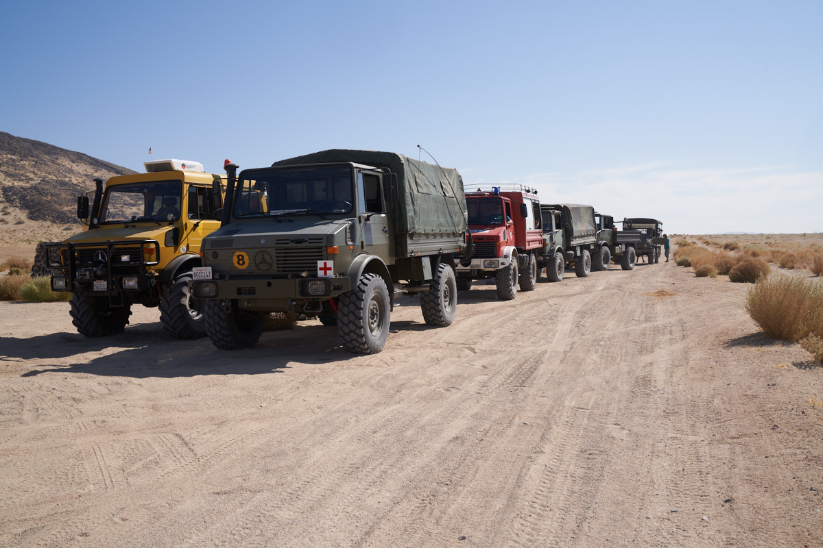
The
plan for the day was to hit the trail after breakfast and see
the sights.
The photos below are what we saw.
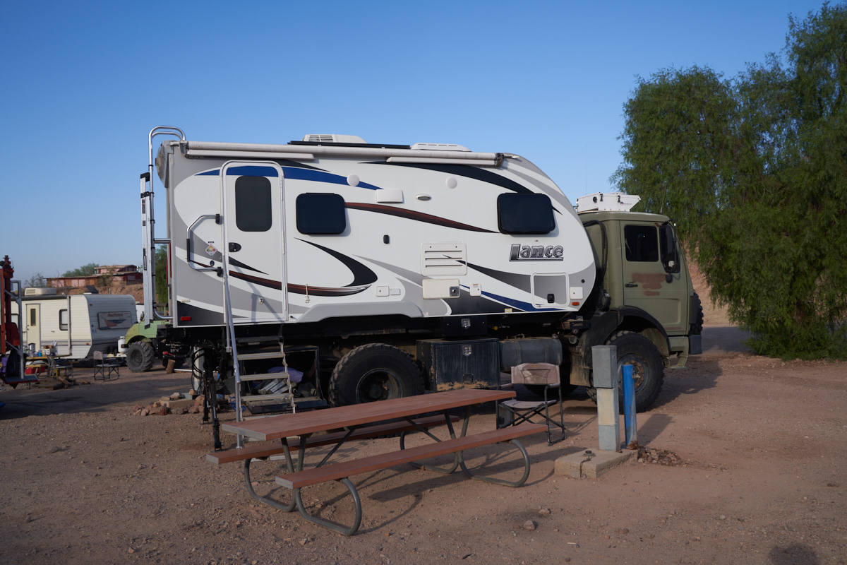
Thor
served us well on this trip. Our indoor galley allowed
easy and comfortable meal preparation for 4 adults without undo
hassle. The county park had full hookups that provided
water, electric and sewer so we had no need to be aggressively
conservative on water usage (usually an issue during clean-up
after meal preparation). That said, this IS a desert and
water availability is always an issue.
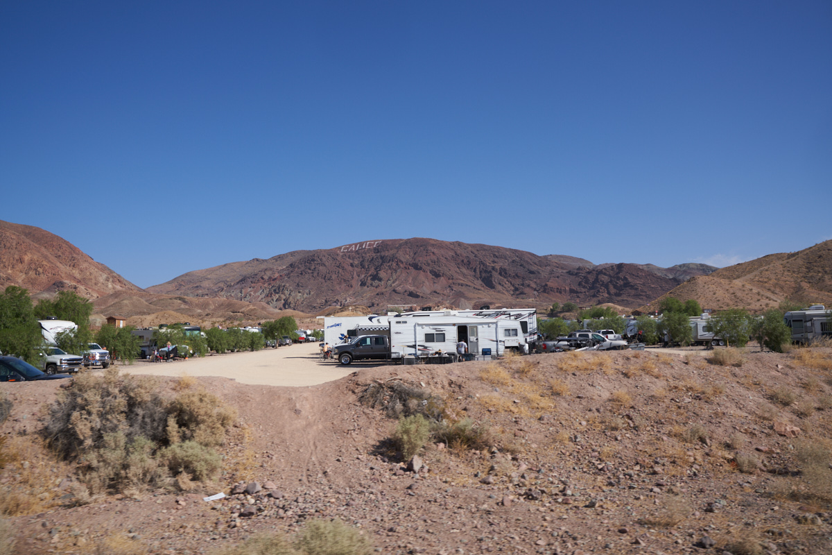
The
signage for Calico is written in paint on the far
hillside. While the letters look small, they are actually
huge. That hill is very steep with loose rock so the act
of painting it must have been very scary. The open
campground at Calico can be seen in the foreground of this
photo.
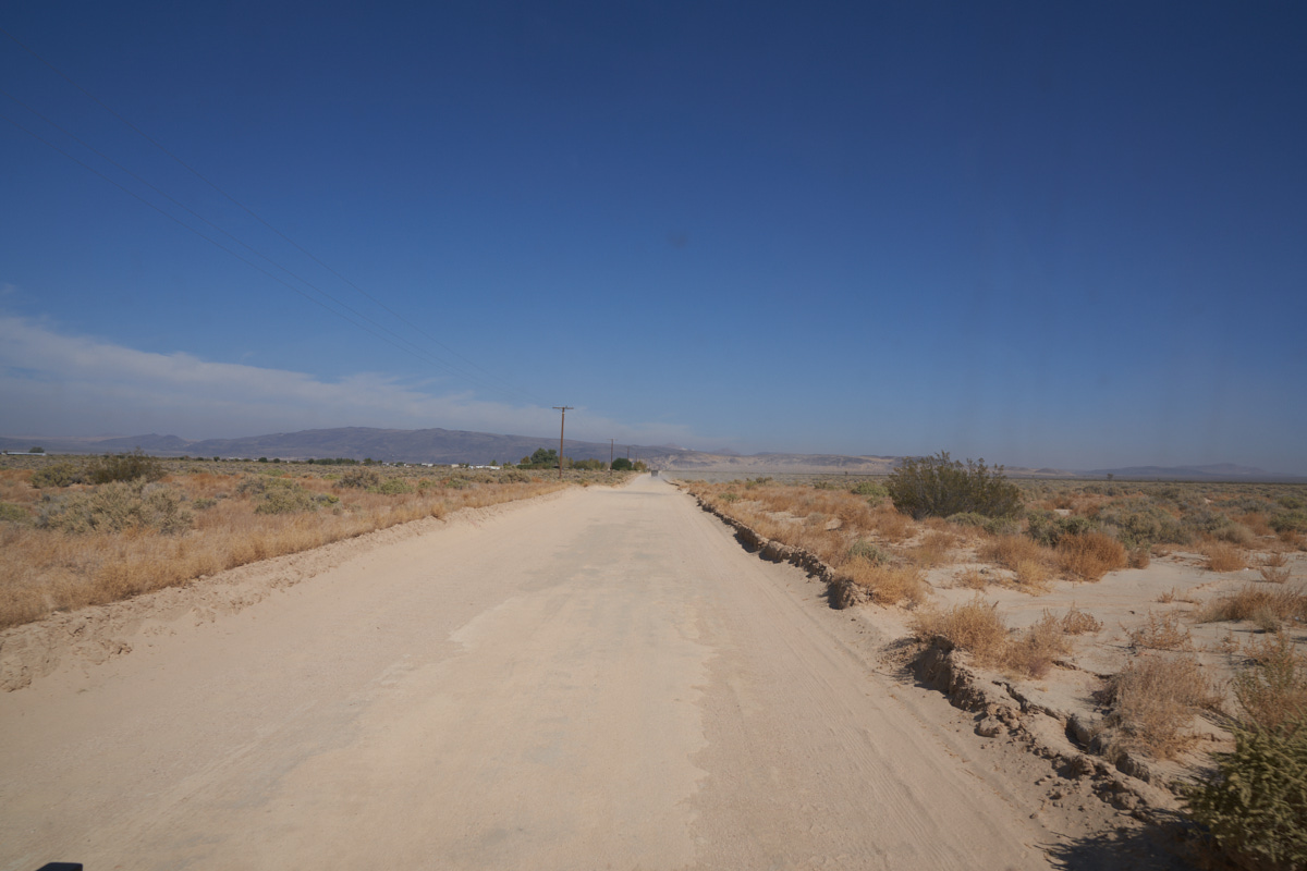
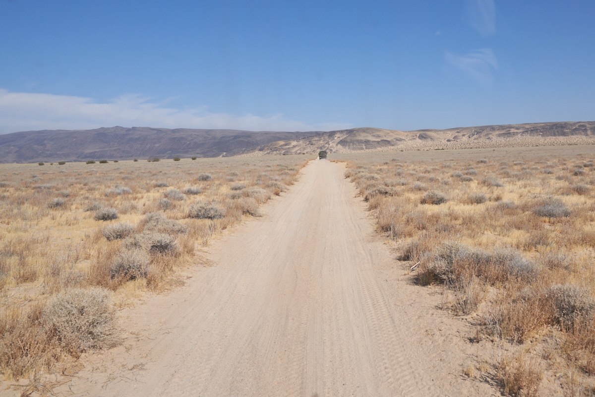
The
second day's travel involved lots of dirt roads and traversed an
area called "Black Mountain Wilderness". We passed the
small "town" of Hinkley to get to our trailhead.
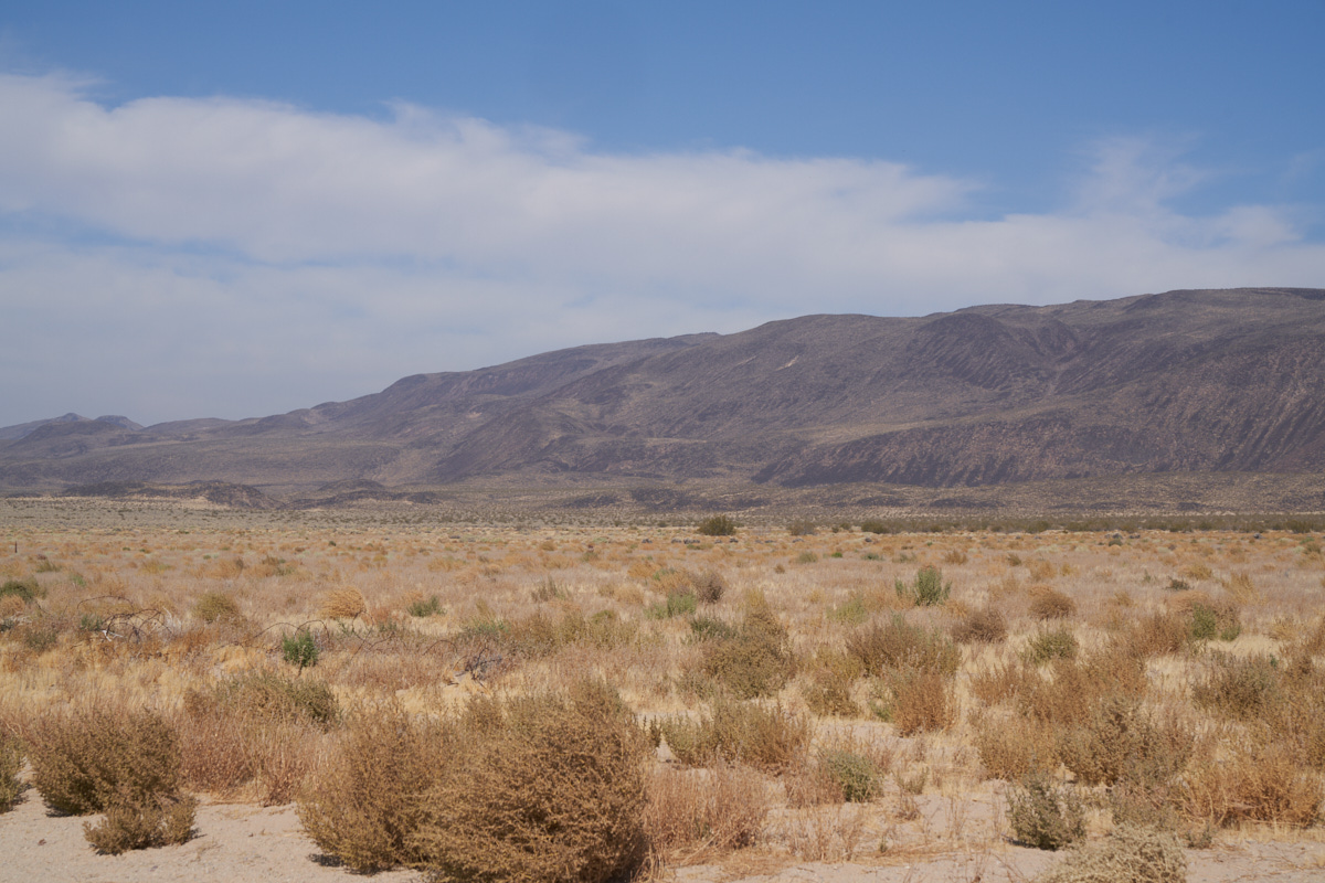
Black
Mountain is so-named due to the black volcanic ejecta that
covers the hills.
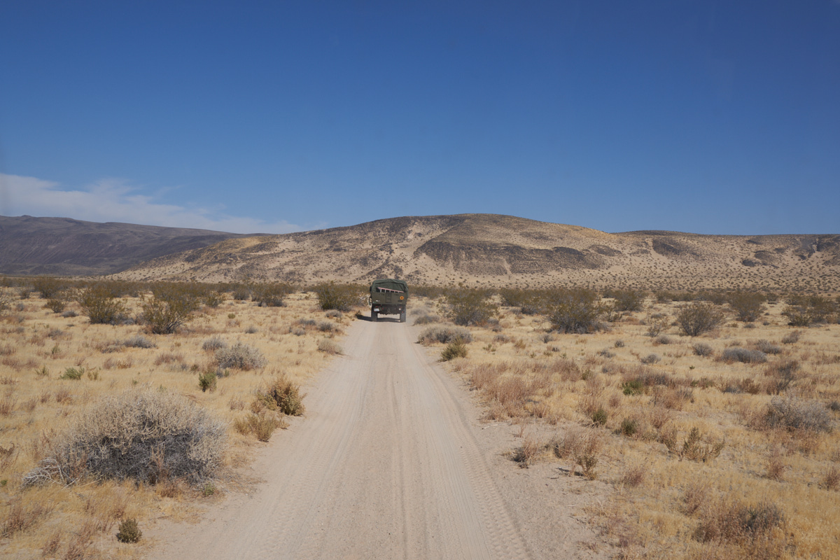
Terry
was the day's trail leader and took us directly to the base of
the mountains.
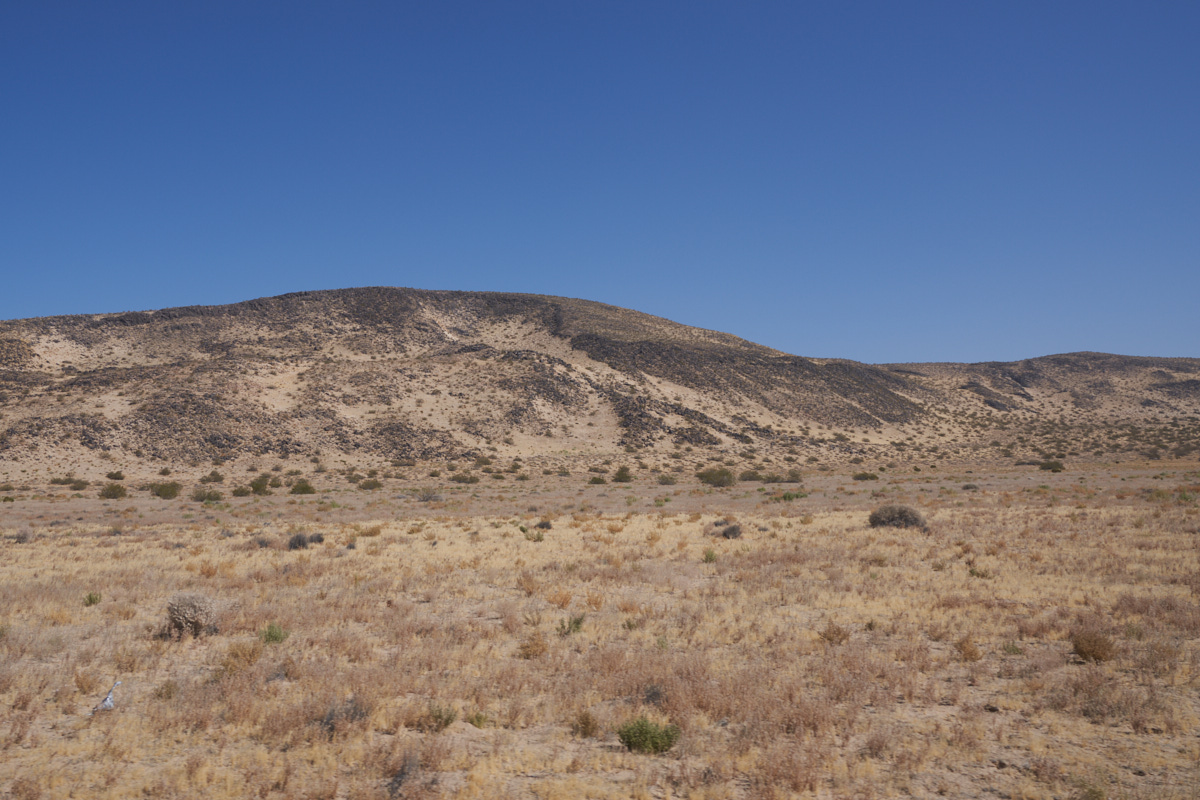
The
basin terrain was sand and gravel while the hills were covered
with basalt ejecta. It is likely that the hills were there
due to the ejecta preventing erosion, thus resulting in the
hill.
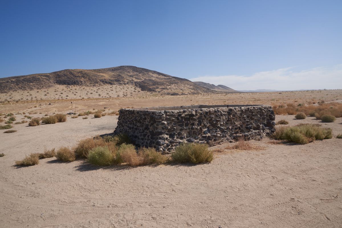
A water
trough for cattle that were run in this area "back in the
day". This would have been a lean area for cattle given
the minimal ground cover.
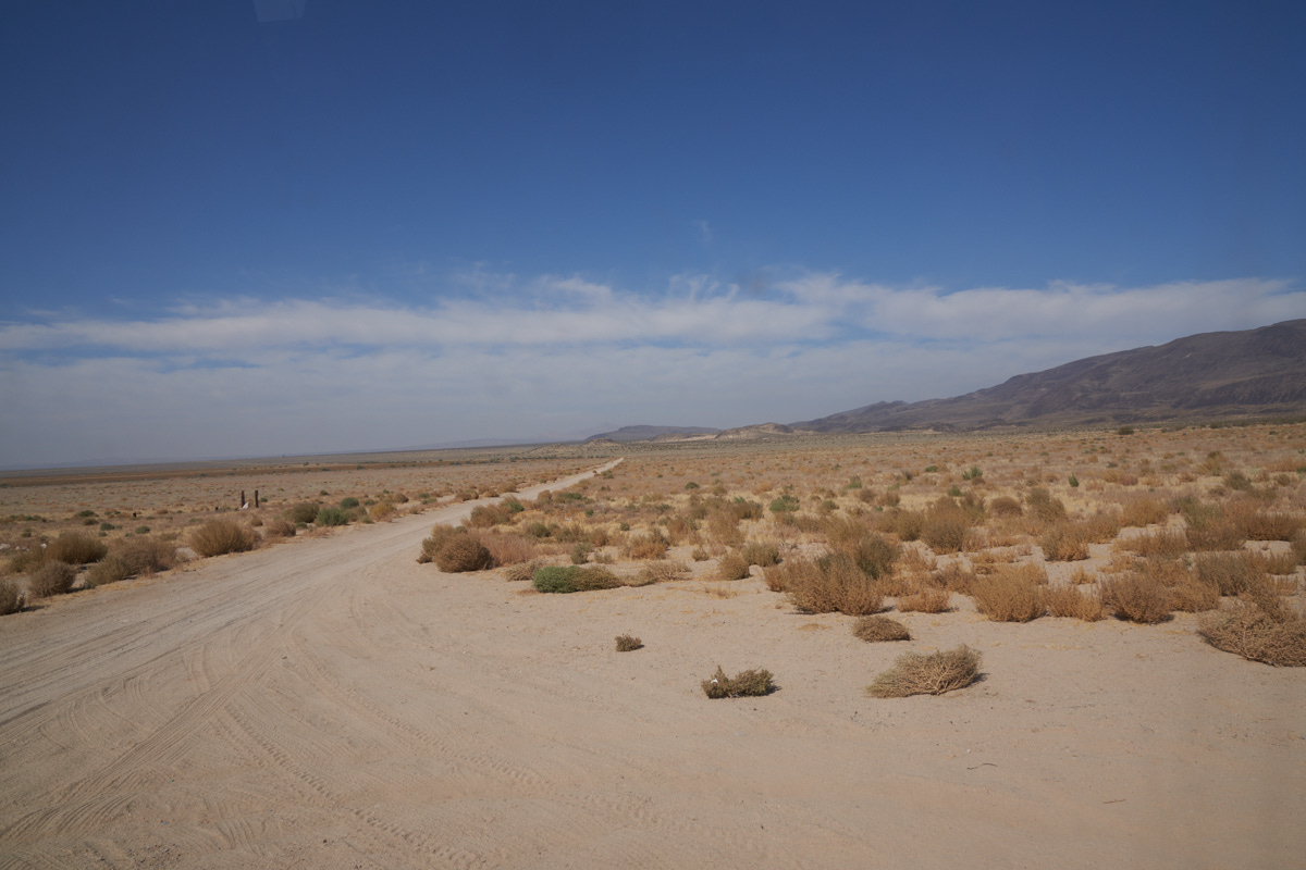
The
Black Mountain area is BLM-administered (no, not that BLM...)
and has reasonably well-marked trails. Of course, having
numbered trails is only useful if you have a trail map.
A quick
trail-side stop.
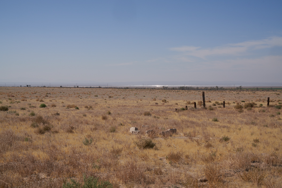
The
shimmer on the horizon is a large solar plant down in the
(usually) dry lake bed.
Basalt
ejecta covered most of the hillsides.
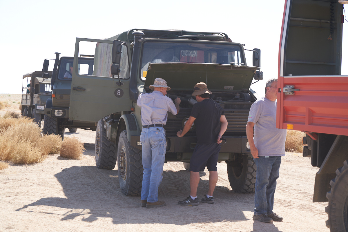
The fuel
leak from the previous day was not fully addressed. As
every mechanic knows, opening the hood and staring at the
suspected problem will eventually resolve it.
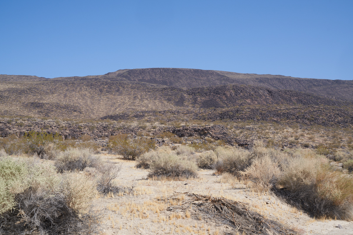
Black
Mountain was, well, black and heavily covered with basalt
ejecta.
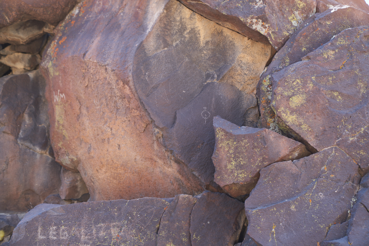
Our path
took us past some petroglyphs in one of the canyons. These
glyphs, while being romanticized as being mystic or shamanistic,
were likely the same as the other marks on the rock:
graffiti. Recent graffiti overlaid some of the older
marks.
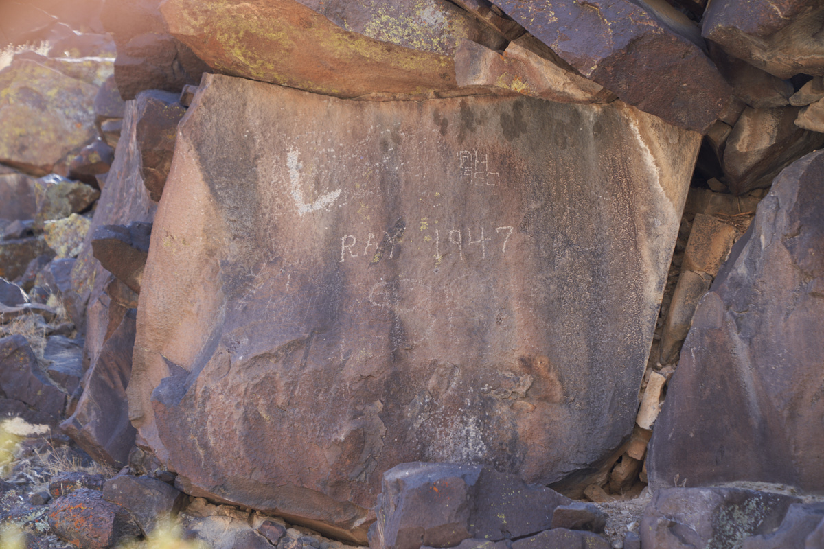
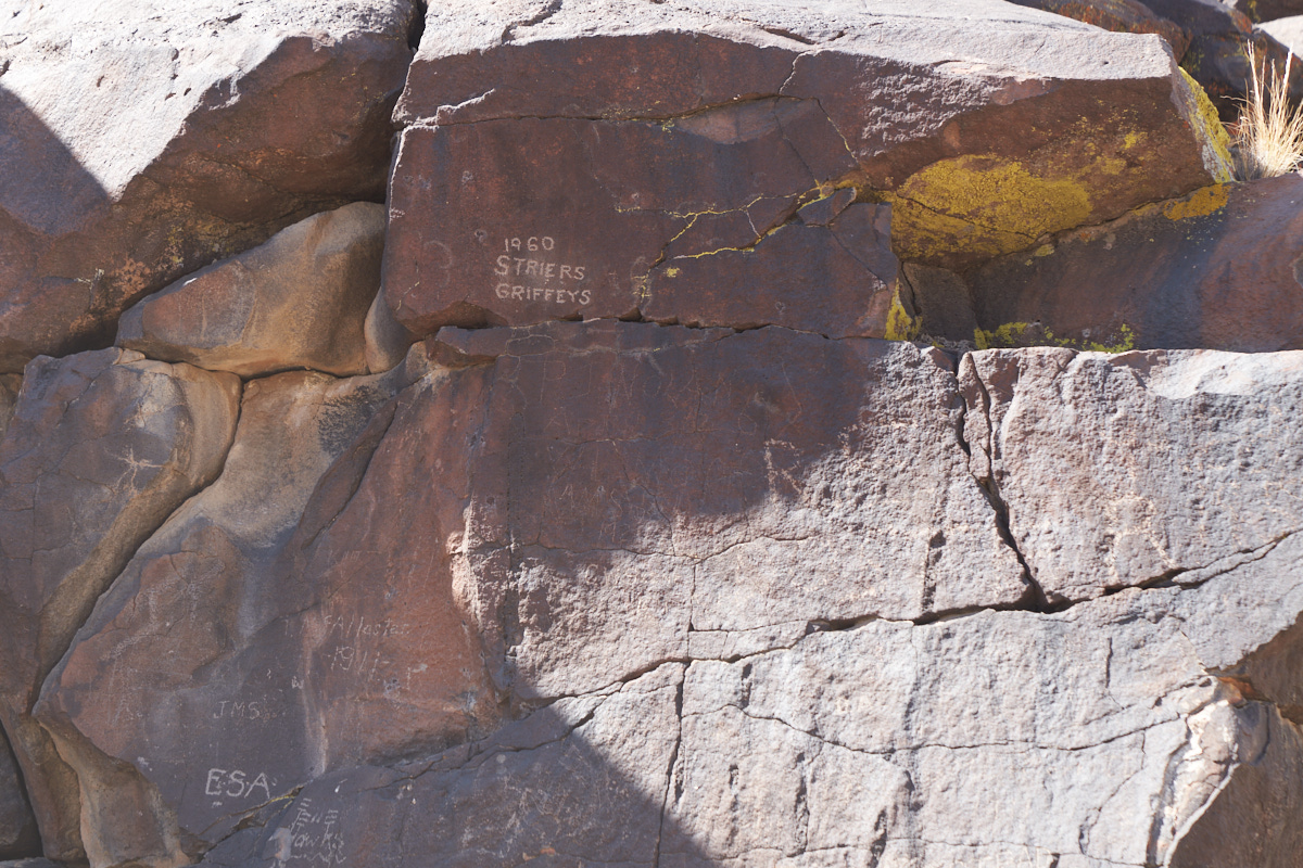
It is
quite lame that folks felt compelled to write on rocks, but at
some point including the date becomes interesting. Ray
must have enjoyed his session; back in 1947 this place was
really remote and hard to reach.
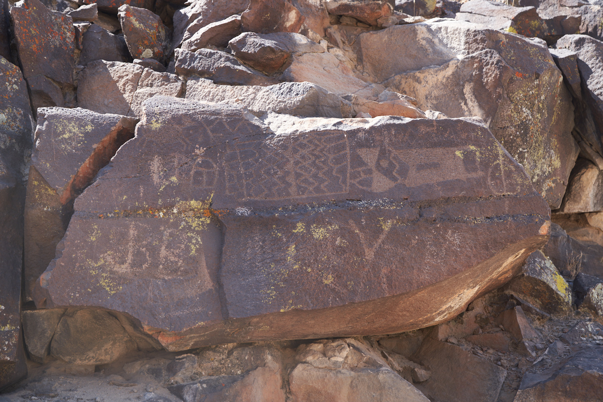
The one
rock art panel that was worthy. JB left his mark, like it
or not.
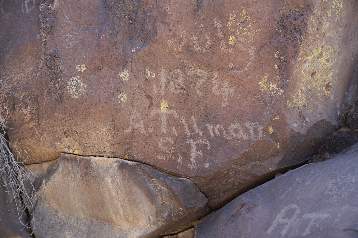
Now, if
I am reading the inscription correctly, 1874 would be an early
mark and that would make Mr. Tillman a true pioneer.
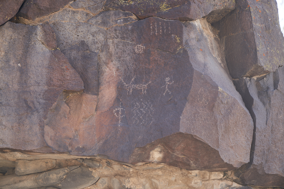
More of
the "classical" rock art symbols. As a side note, the
de-facto standard for rock art is "Petroglyph Canyon" on the
China Lake Naval Weapons Base near Ridgecrest, CA. The
Matamorango Museum hosts escorted visits to the canyon, but
since the site is on an active-duty base, you have to reserve
ahead and go through a background check. You will be
escorted at all times, but drive in your own vehicle. It
is totally worth the trip if you are in the area, but plan
ahead.
Once we
past the petroglyphs, we headed around Black Mountain and over
it. Some of the trails were quite steep and littered with
loose rock making 4x4 a requirement.
| Previous Adventure | ||
| Trip Home Page |
Photos and Text Copyright Bill Caid 2020, all rights
reserved.
For your enjoyment only, not for commercial use.