After a cold night, the group prepared for another trail
ride. This ride would be in two parts. First was the Bald Mountain Lookout
trail and the second part was Sherman Pass. Bald
Mountain was easy, although it did
require a hike to the top of the peak.
The second part, however, was a
totally different kettle of fish.
The photos below are what we saw.
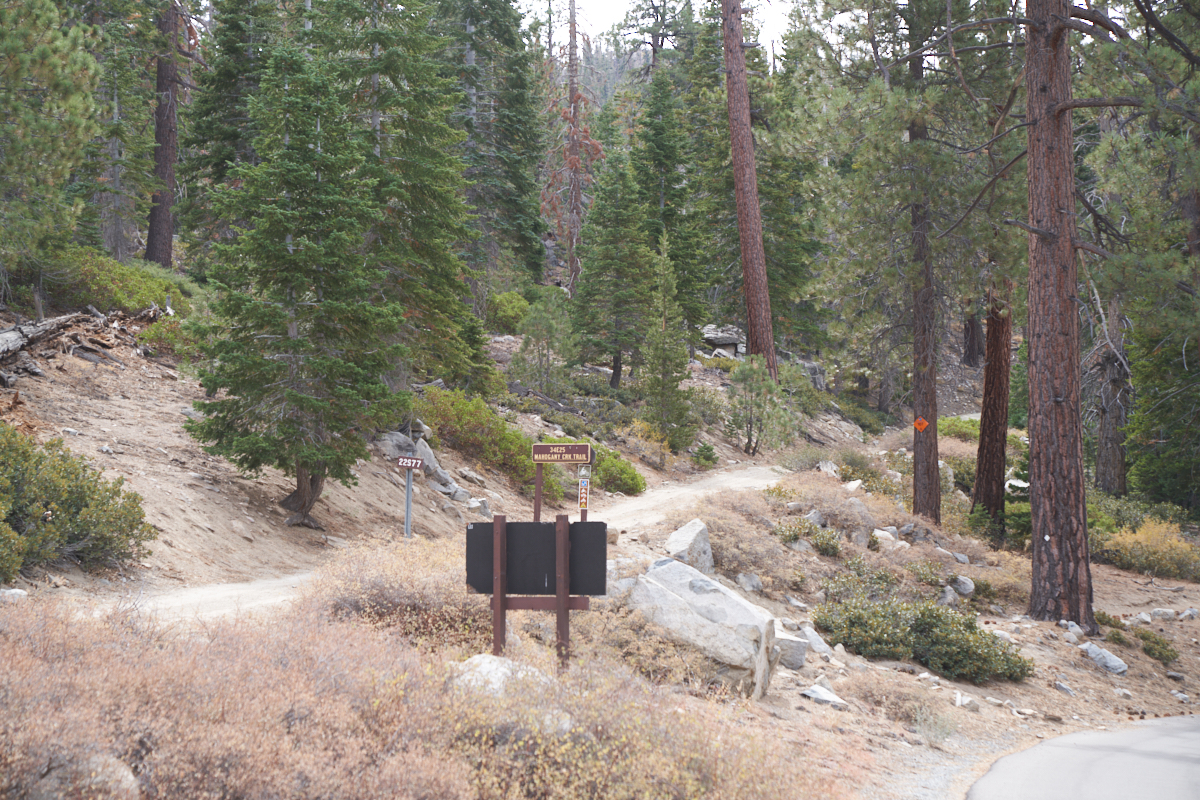
Most of
the trails in the area were well marked. And in a marked
departure from some of the areas we visited, there were detailed
trail maps available at the campground -- for free. Well,
free in the sense that you pay taxes, DMV fees, campsite fees,
etc.
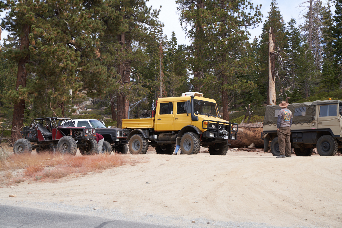
The
group assembled at the base of the Bald Mountain trail.
Dave's
modified 404 had upgraded seating for 5 adults plus cooler space
for trail beverages. He was full to capacity.
The stop
allowed everyone to check the status of their rig.
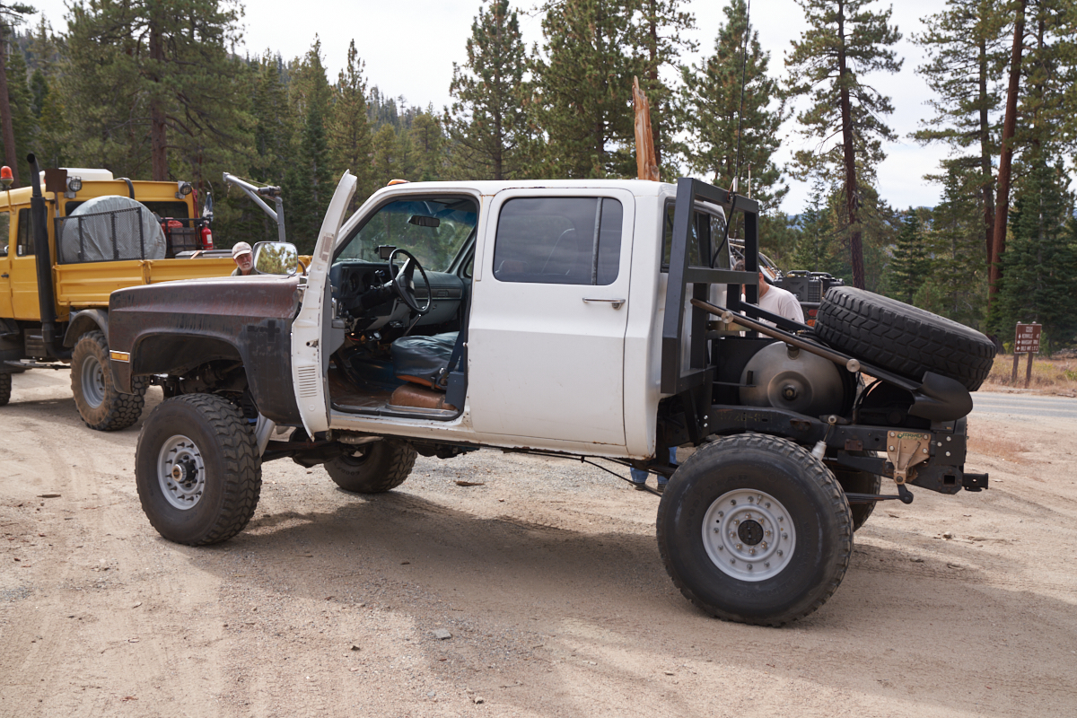
Jim's
heavily modified diesel Suburban. Note the fuel tank
and tire mount.
We
drove as far as we could on the trail until we encounter a lock
gate and turn-around. We dismounted and did the balance of
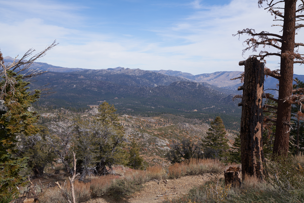
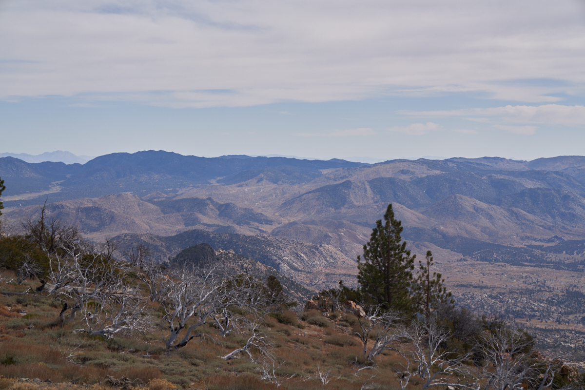
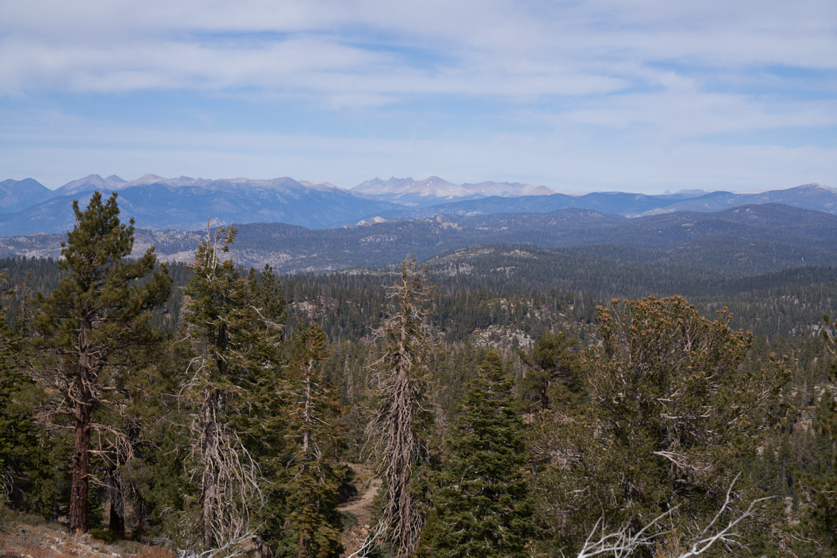
the trail on foot. Near the top of the mountain we got
nice views of the surrounding area.
To the
north we could see the higher peaks of the southern Sierra that
were barren and well above timber line.
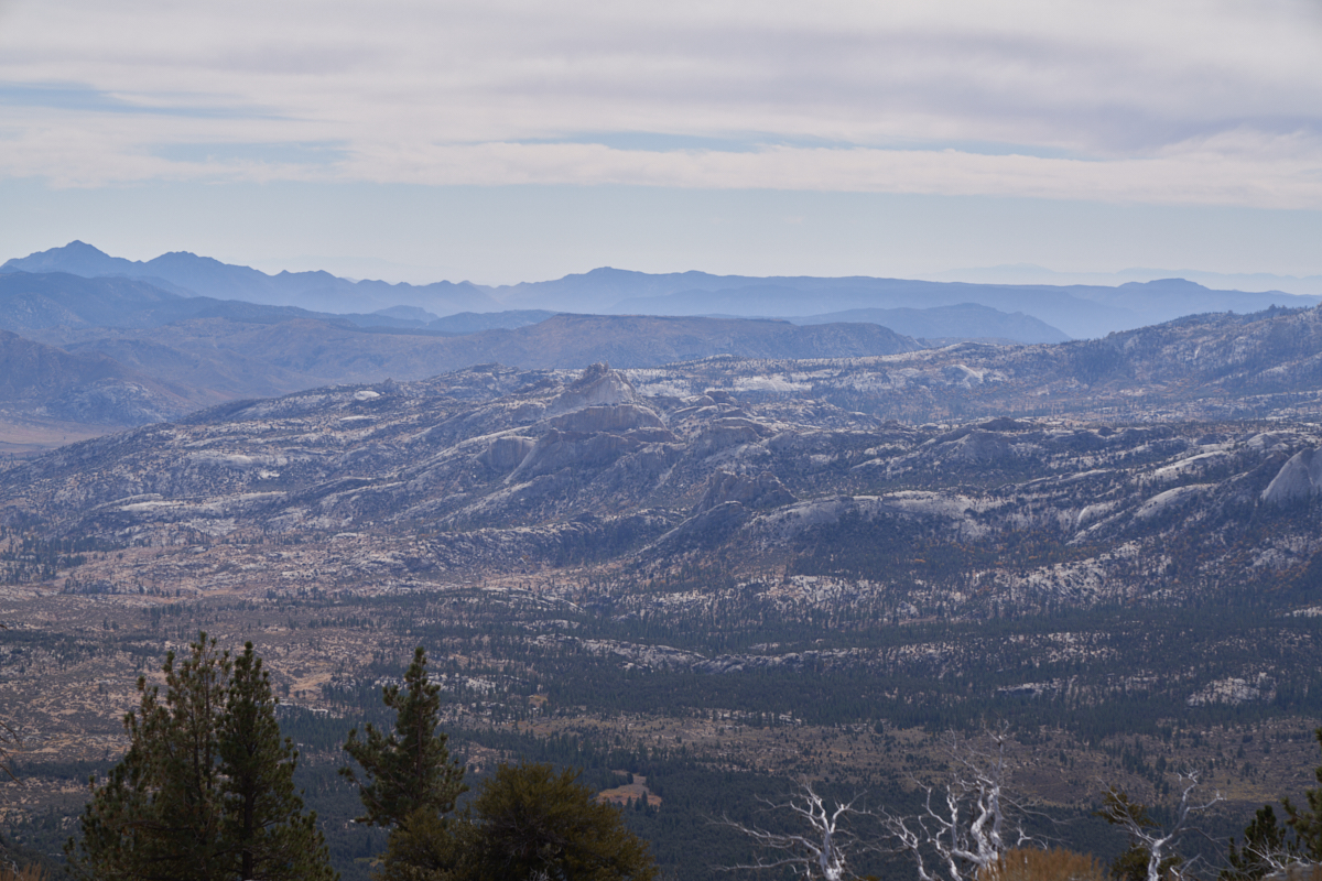
To the
south we could see the Dome Land wilderness that had large
numbers of exposed exfoliated granite domes.
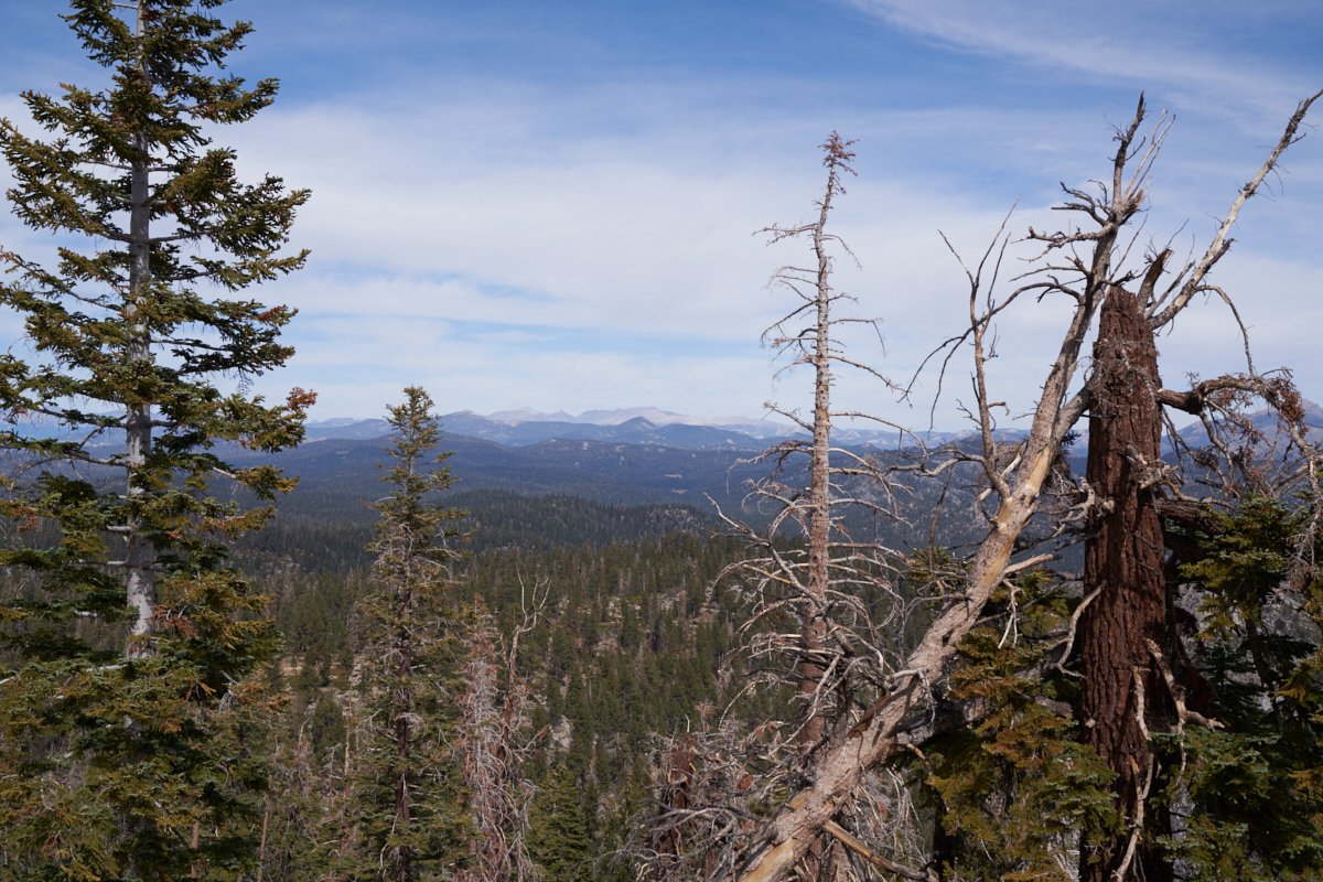
To the
northeast we could see areas that were burned by recent fires.
The fires cleared huge swaths of forest leaving barren terrain
in its wake.
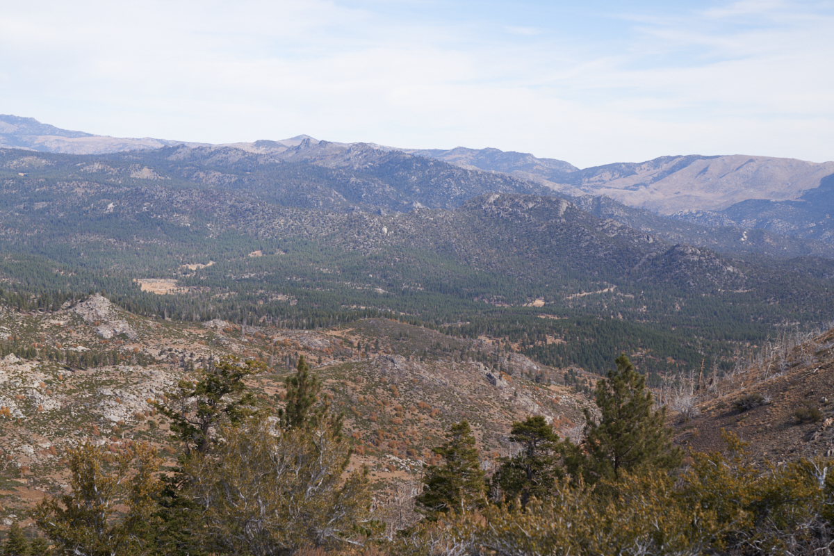
Troy
Meadows campsite was at the bottom of the valley.
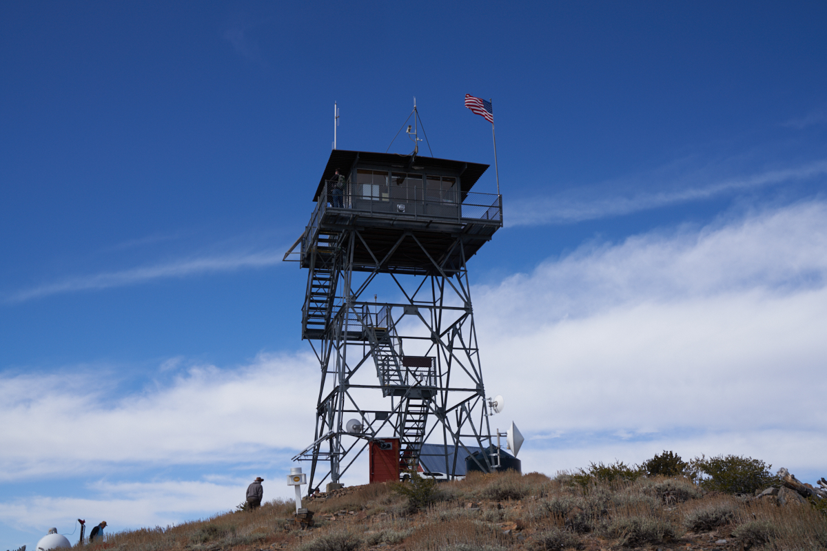
The Bald
Mountain lookout was manned on the day we got there. A
lonely job, to be sure.
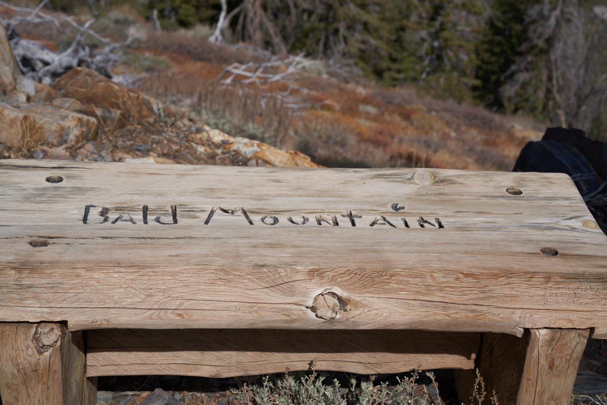
There
were a number of wooden benches that were made by a local
conservation group.
Well to
the north we could see tall peaks that appeared to still have
small patches of snow.
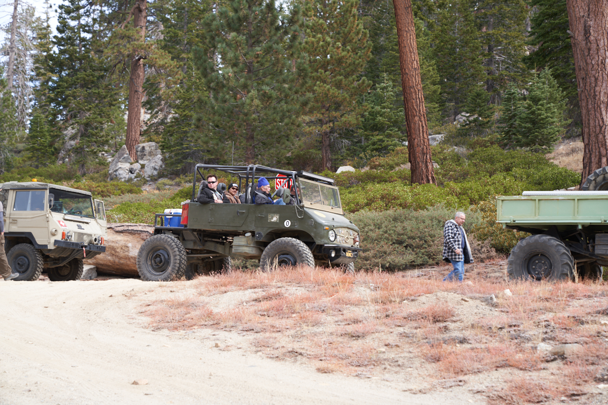
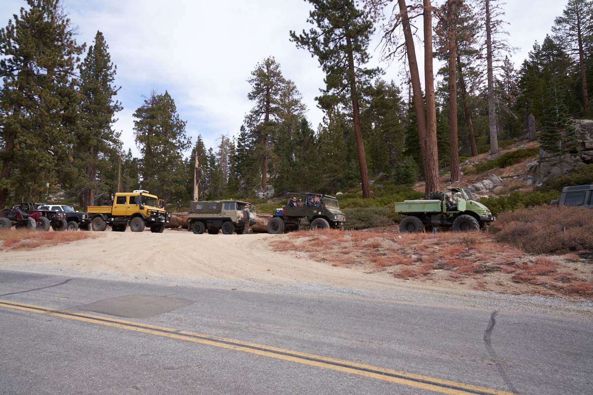
We
reassembled the group at the locked gate and ate lunch before
heading to the Sherman Pass trail head. It only took a few
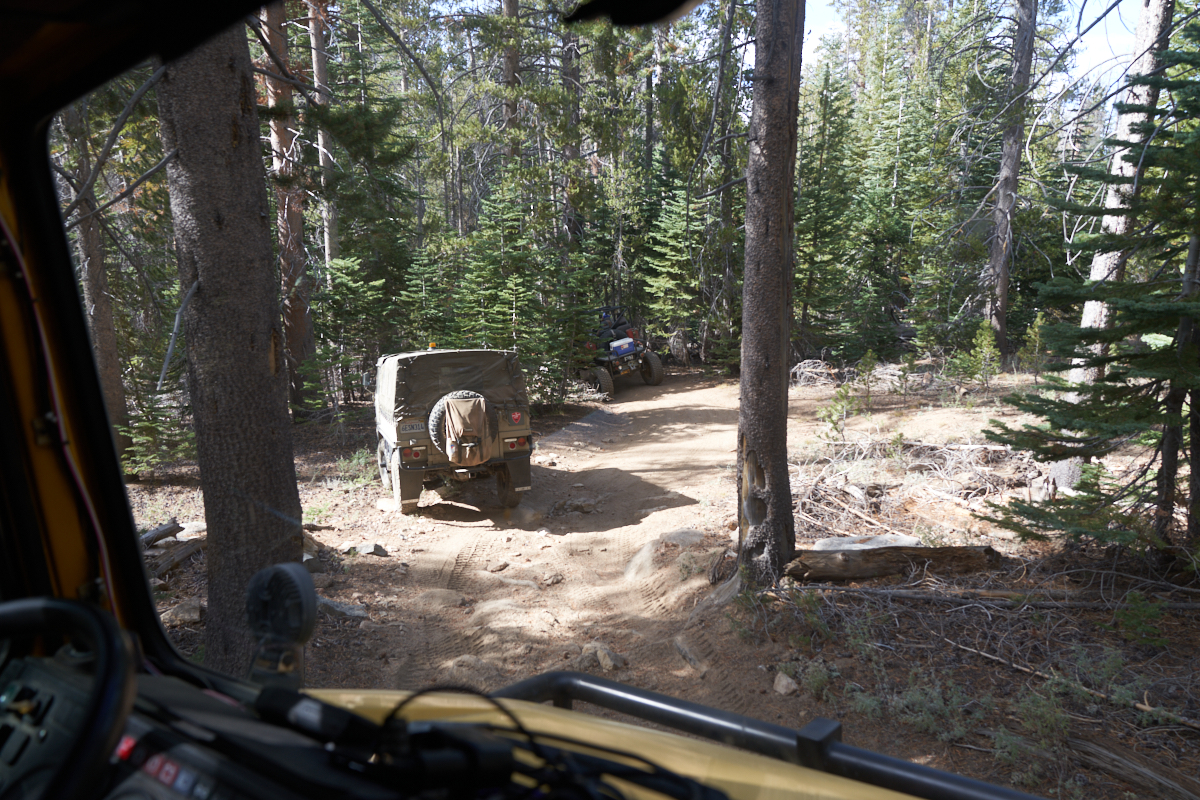
miles before we encountered our first challenge.
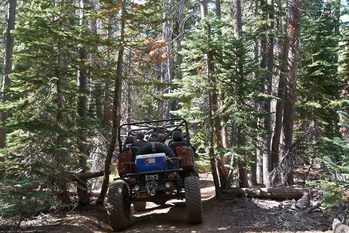
Unimogs
are very capable off-road vehicles. That said, they are
big: tall, wide and heavy. The Sherman Pass trail was new
to all members of the group (even the trail leader) and we were
dismayed to discover that the path was very narrow and impacted
by trees. Above, the group dismounts to inspect the first
choke-point.
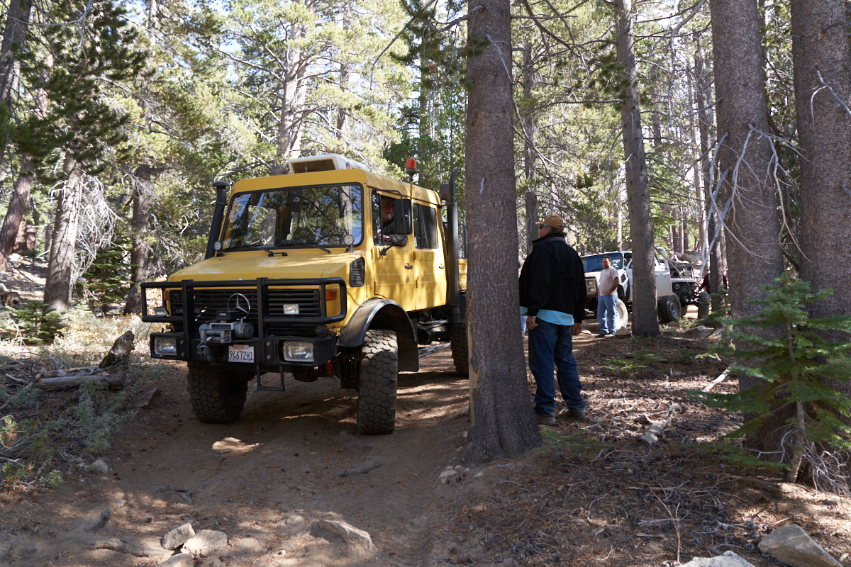
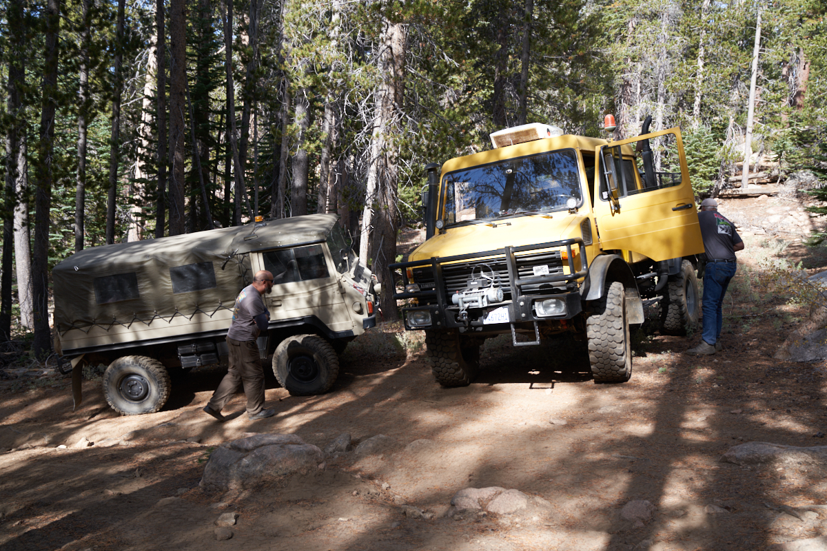
A tight
turn requires careful inspection of the travel path.
Dave hit
the trees on the left with his roll bar.
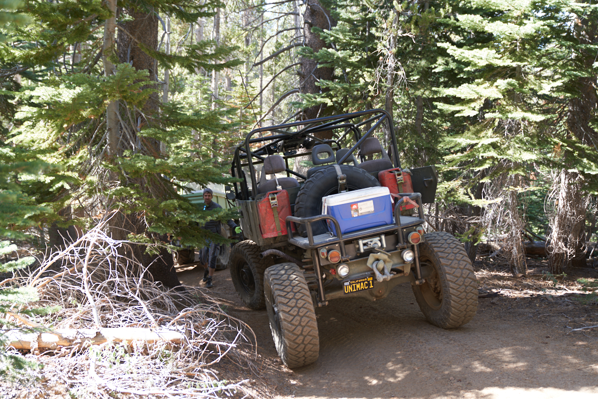
Eric
inspected the first tight spot and concluded that he would not
fit. His decision was to turn around and head back to
camp. Even if he had fit on the first obstacle, there were
dozens more where he would not fit. Turning around was a
good decision.
We
passed over a number of substantial obstacles on the trail
getting to the turn-around point. We got to experience
those obstacles again on our path back to camp.
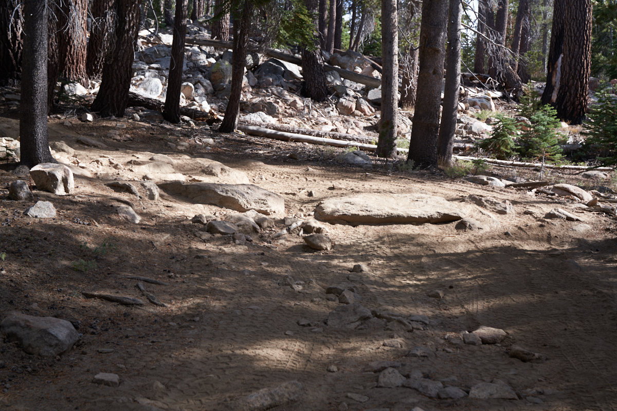
The
exposed boulders were formidable but no problem for Eric's mog.
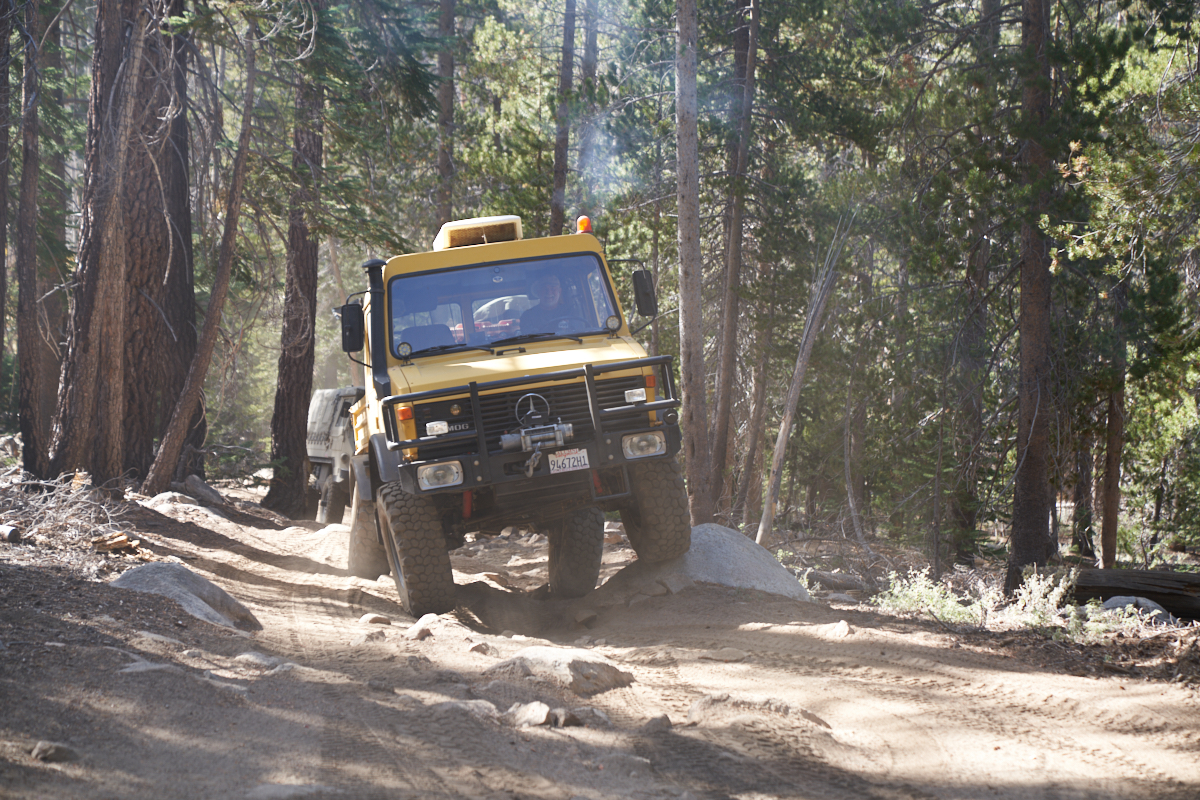
Note the
articulation between the front and rear axles.
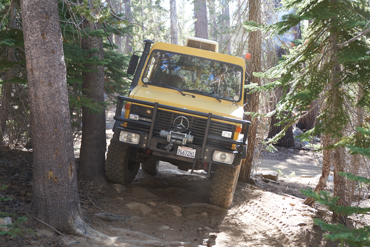
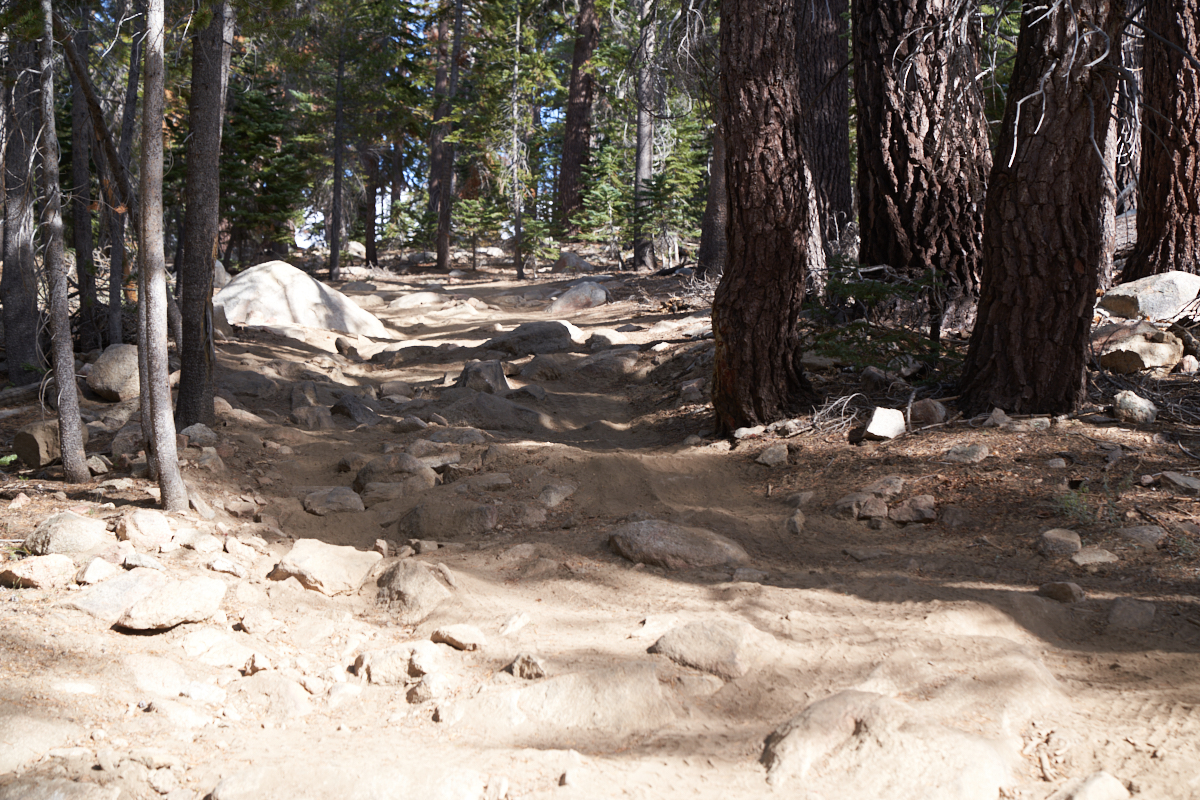
Eric hit
on both sides going through this squeeze.
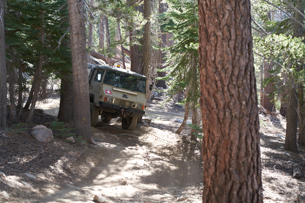
The
Pinzgauers are narrower, but it still required careful driving
to avoid the obstacles.
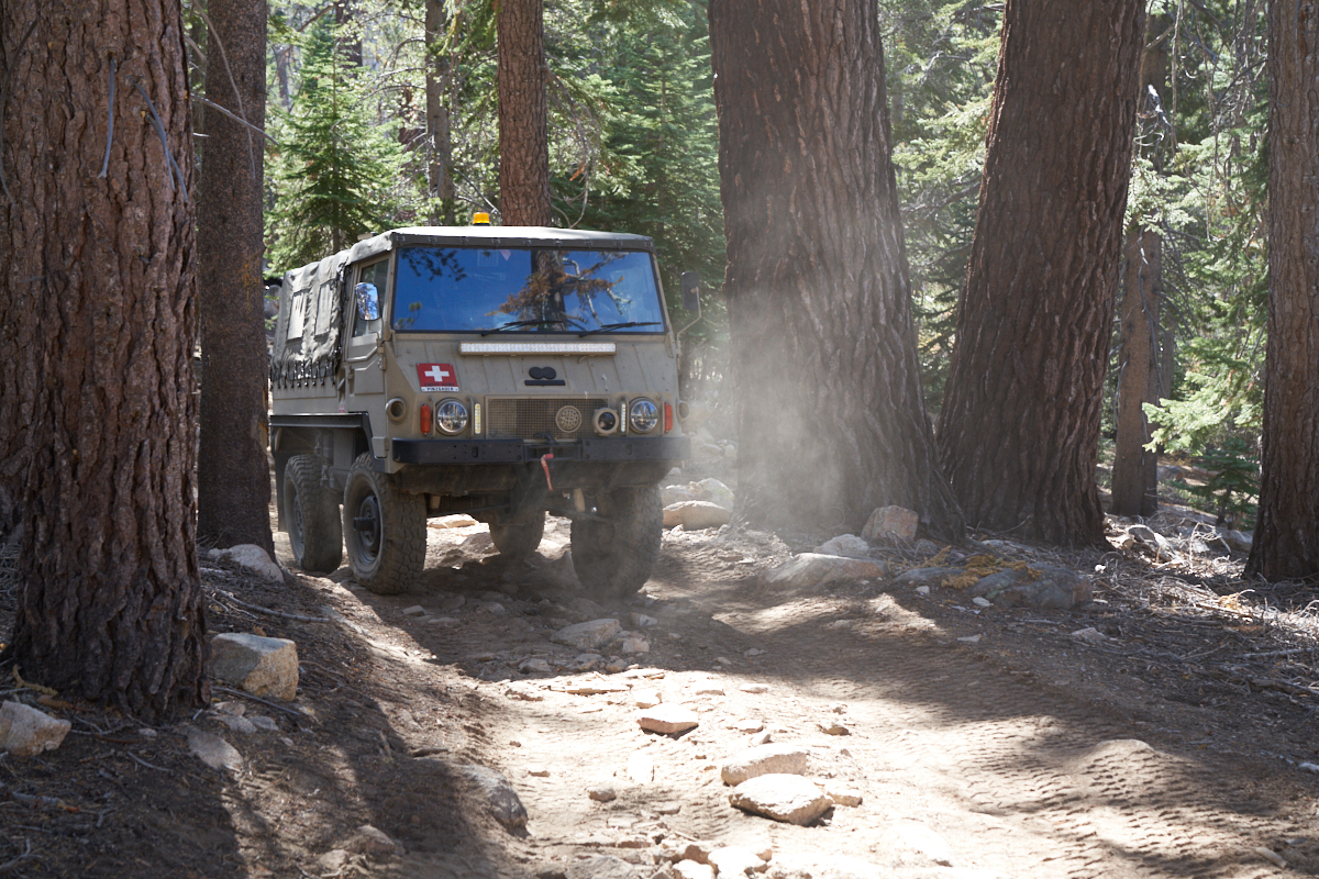
Easy for
a narrower vehicle. We returned to camp, relaxed and took
bets on the arrival time of the balance of the group.
After dark, the group returned with animated stories of the
difficulty of the balance of the trail. Steep grades,
exposed switchbacks, loose rocks and a 1,000 food altitude
loss. And, a long, cold ride on the blacktop to get back
to camp. But, no injuries, no damage, only tightened
sphincters and cold fingers.
| Previous Adventure | ||
| Trip Home Page |
Photos and Text Copyright Bill Caid 2019, all rights
reserved.
For your enjoyment only, not for commercial use.