From
Mesa Verde National Park, we decided to head west to see
Hovenweep Ruins. Neither Kathleen nor I had been there before,
so we headed out. These ruins were in a rather remote
location so some travel miles were required.
The photos below are what we saw.
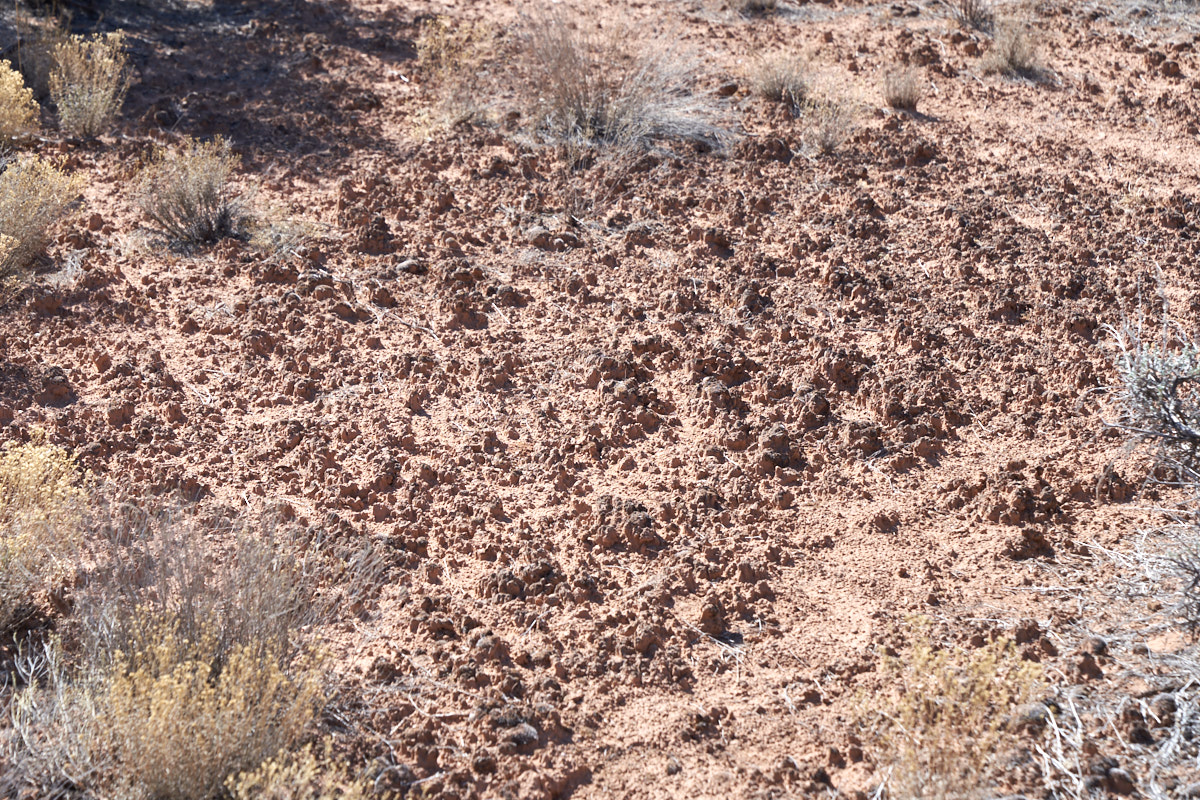
The
slick rock country of western Colorado and Utah has a rather unique
life form living in the wind-blown sand: fungus and
lichens. Collectively, it is referred to as cryptogamic
soil. The surface of the soil is textured with towers of
black fungus 1-3" tall. This sand is very fine and the fungus
serves as a binder that keeps it in place allowing plants to
grow.
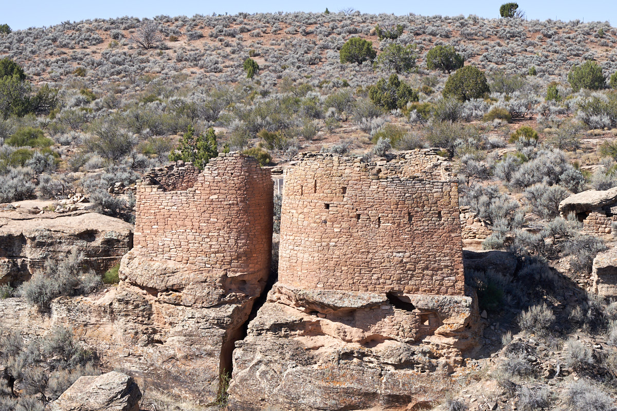
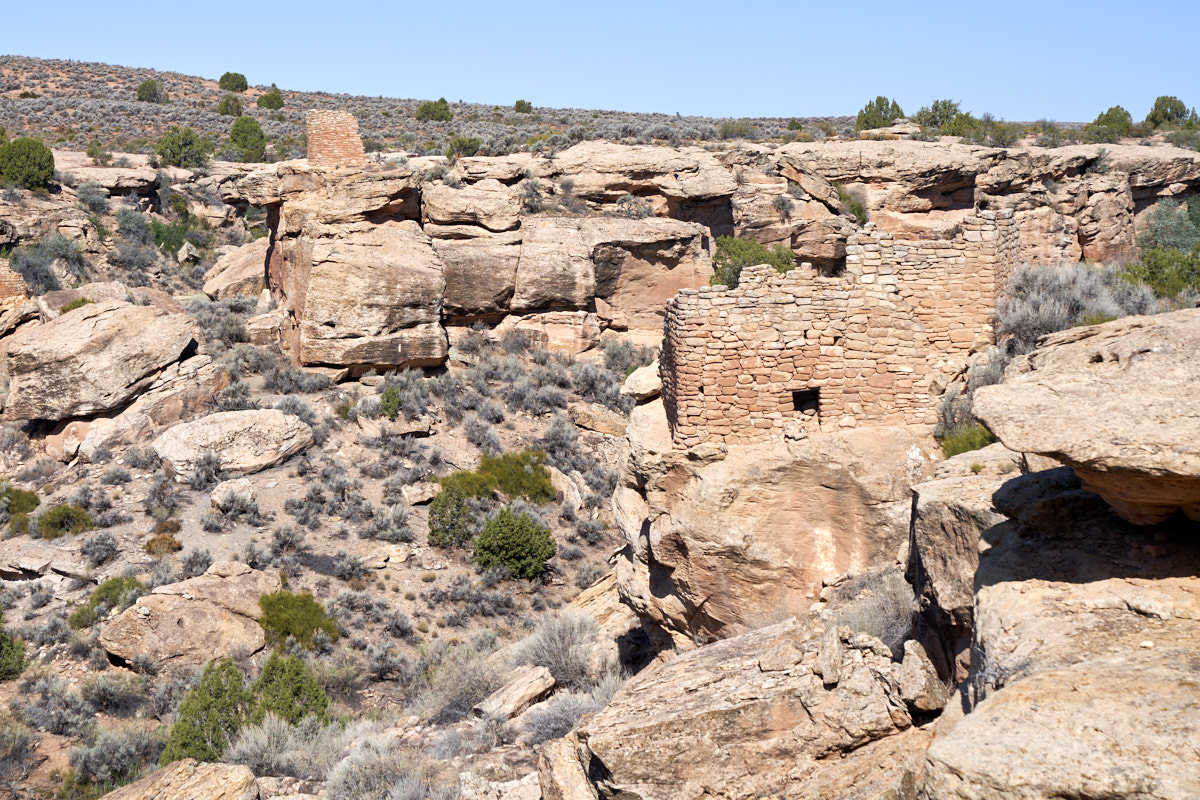
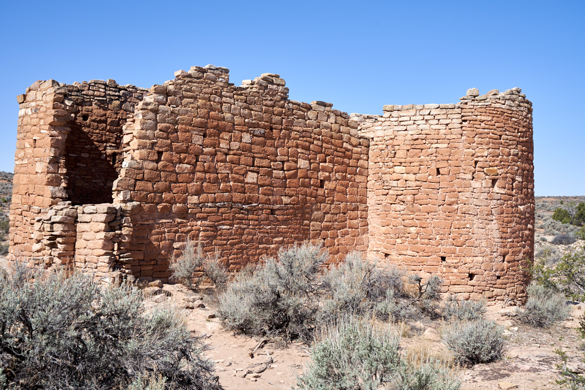
The trail to the
ruins starts at the visitor's center. Only a short
distance away we could see some of the towers of
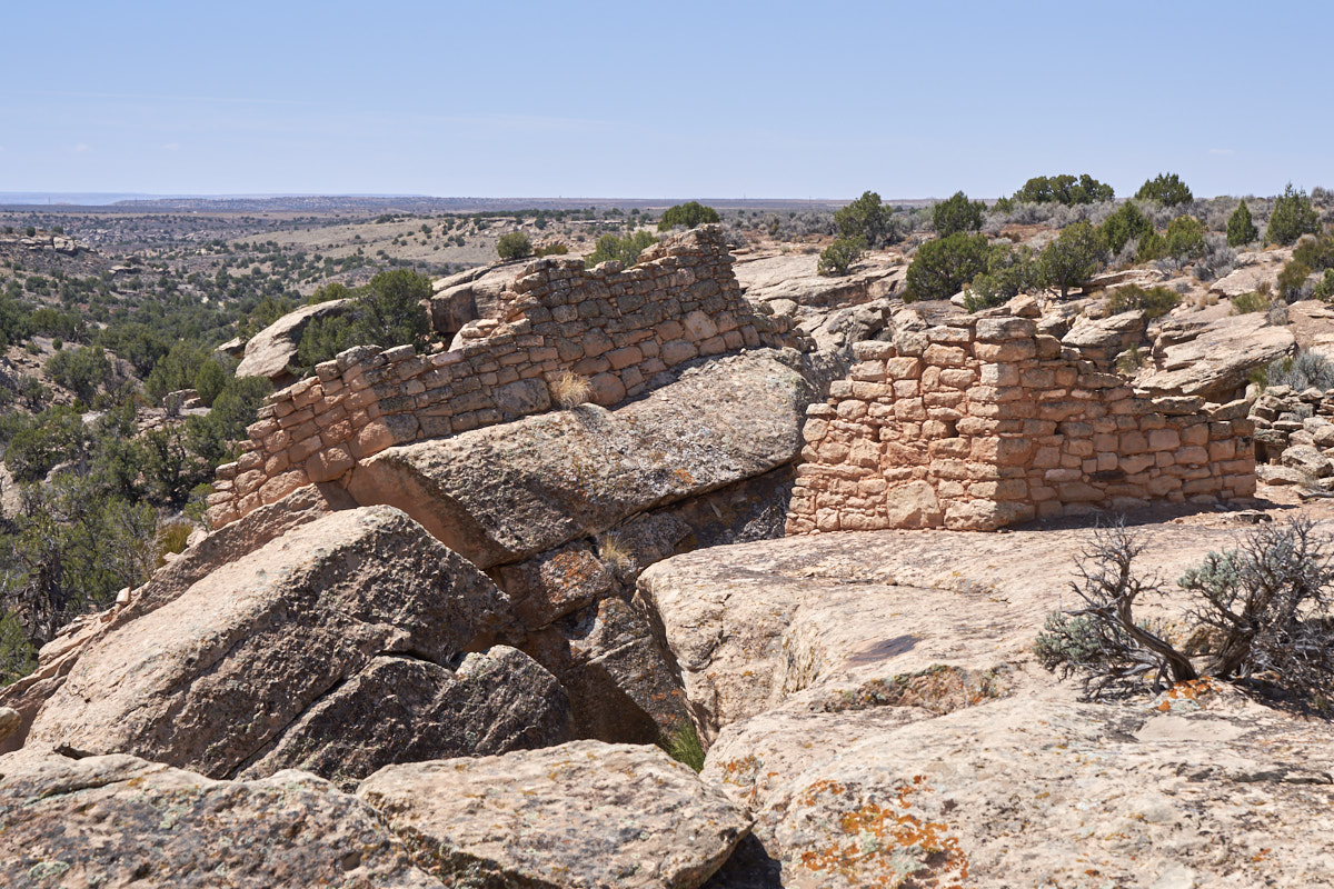
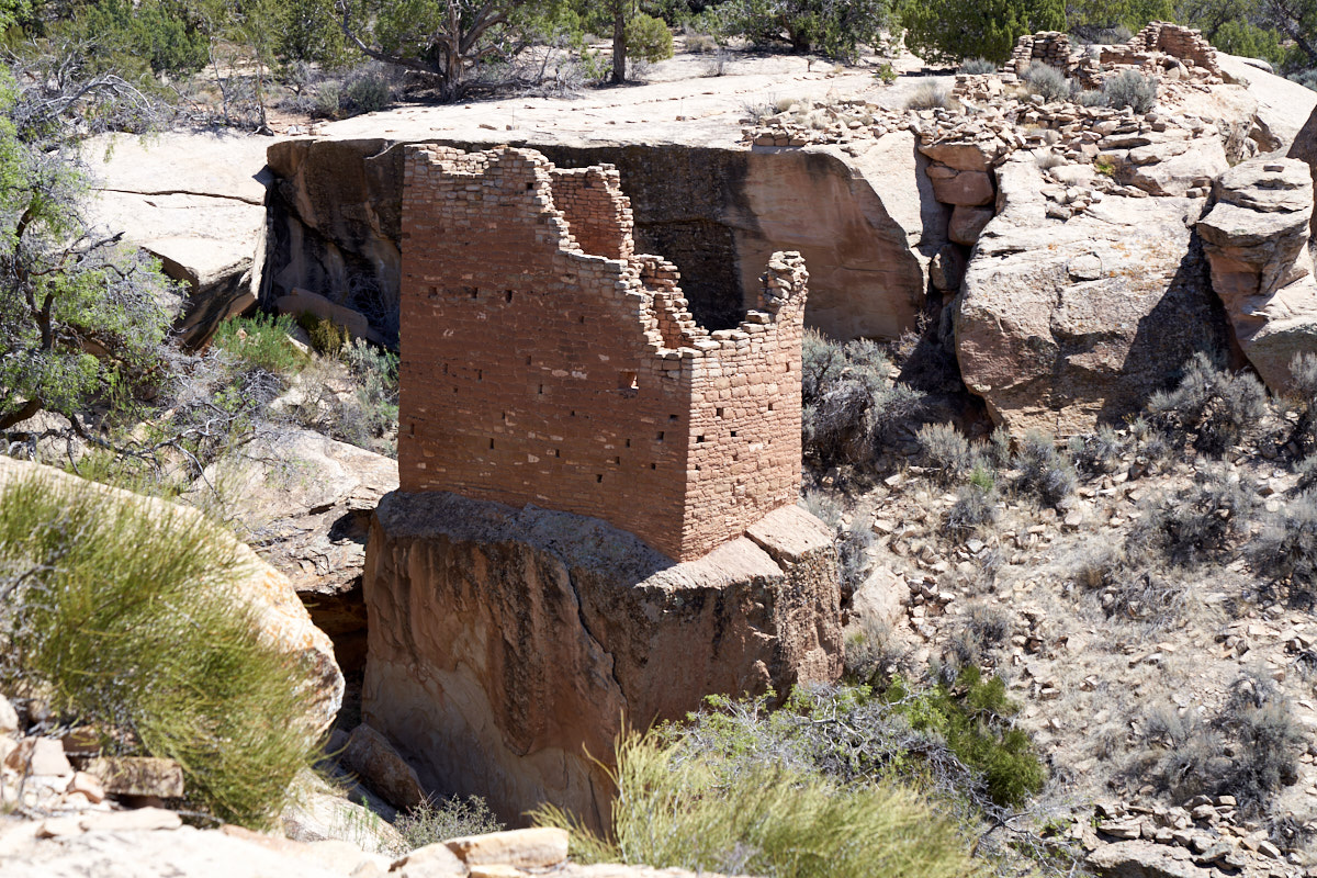
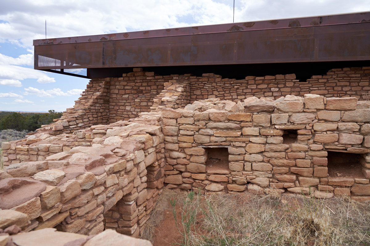
Hovenweep. These towers are "D" shaped and are built on
a large set of boulders that are separate from the cliff
walls. The walls are made from "pecked stone" which is
created by taking a hammer stone and chipping away at a
sandstone block until the faces are flat. This is a very
time-consuming and labor-intensive process.
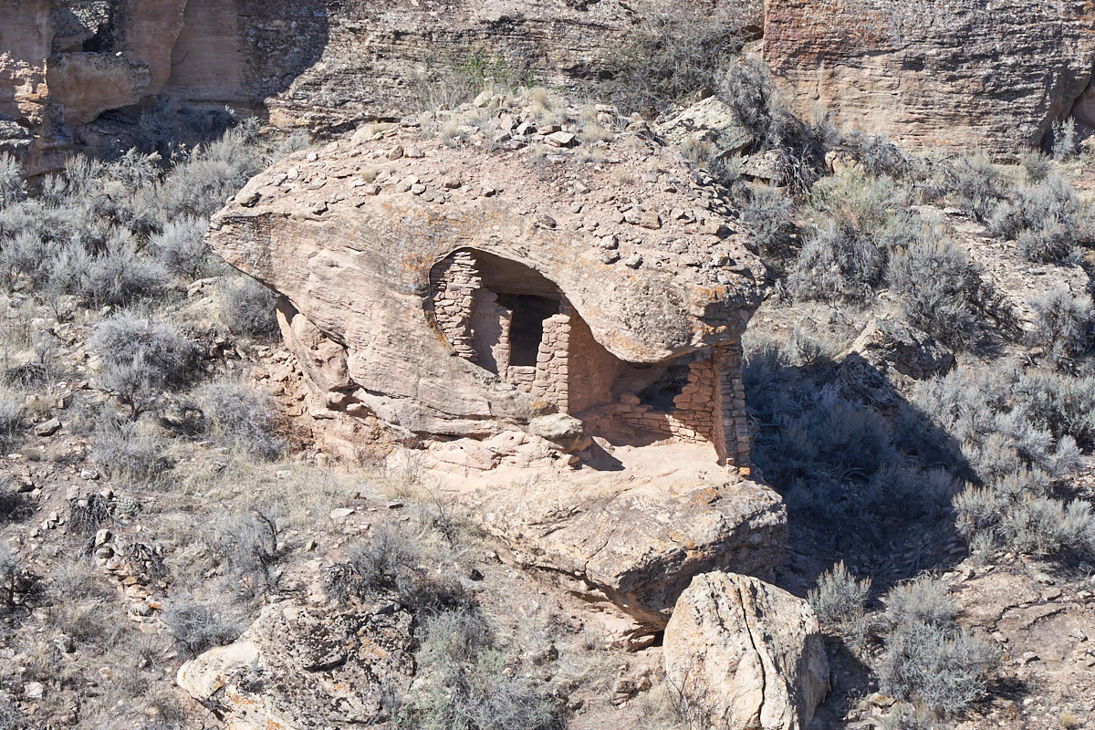
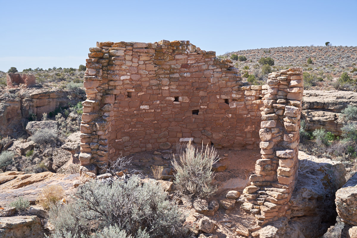
In the
canyon below the D Towers was an eroded boulder that also housed
ruins. This dwelling is small and would have been a
challenge to live in.
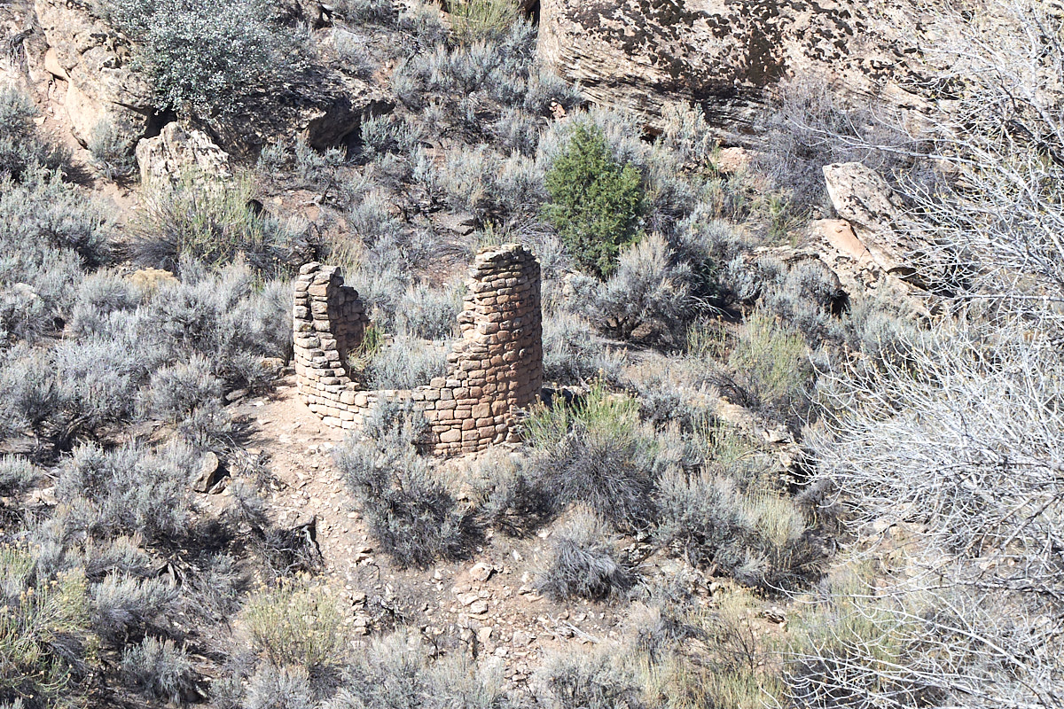
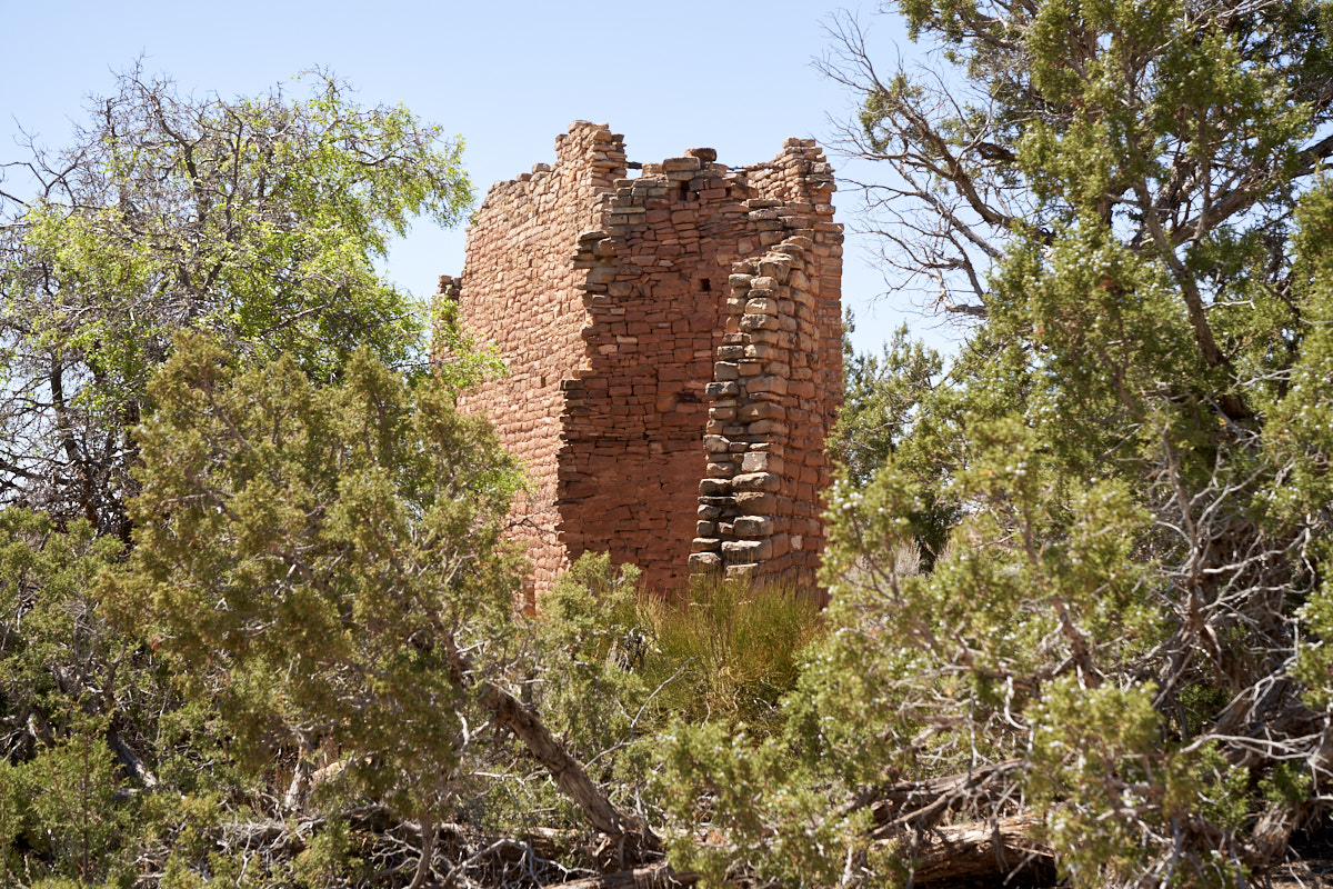
Close to
the eroded boulder dwelling was the remains of a circular
tower. It is doubtful that this was a dwelling and more
likely it was a ceremonial structure.
It is a
mystery to me why these structures were built right on the cliff
edge. There was plenty of flat rock areas away from the
edge that would have been much easier. The issue of
defensibility was raised in literature, but preventing attack
from one direction also means that escape is prevented in that
direction as well. It all depends on anticipating the
direction of the attack.
How much
of these walls were original versus reconstructed was not
disclosed.
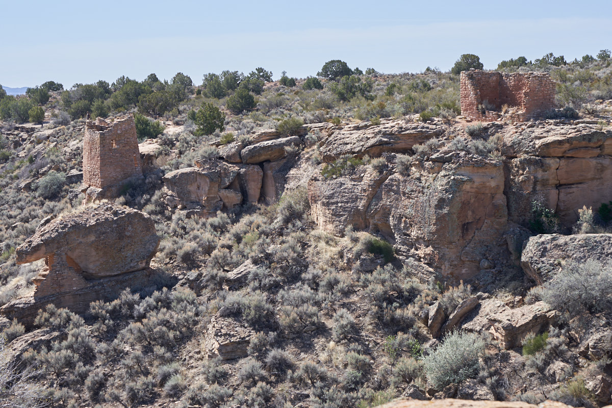
Across
the canyon more structures were visible. The tower on the
left has sharp corners rather than rounded corners. The
eroded boulder dwelling is visible at the lower left of the photo
above.
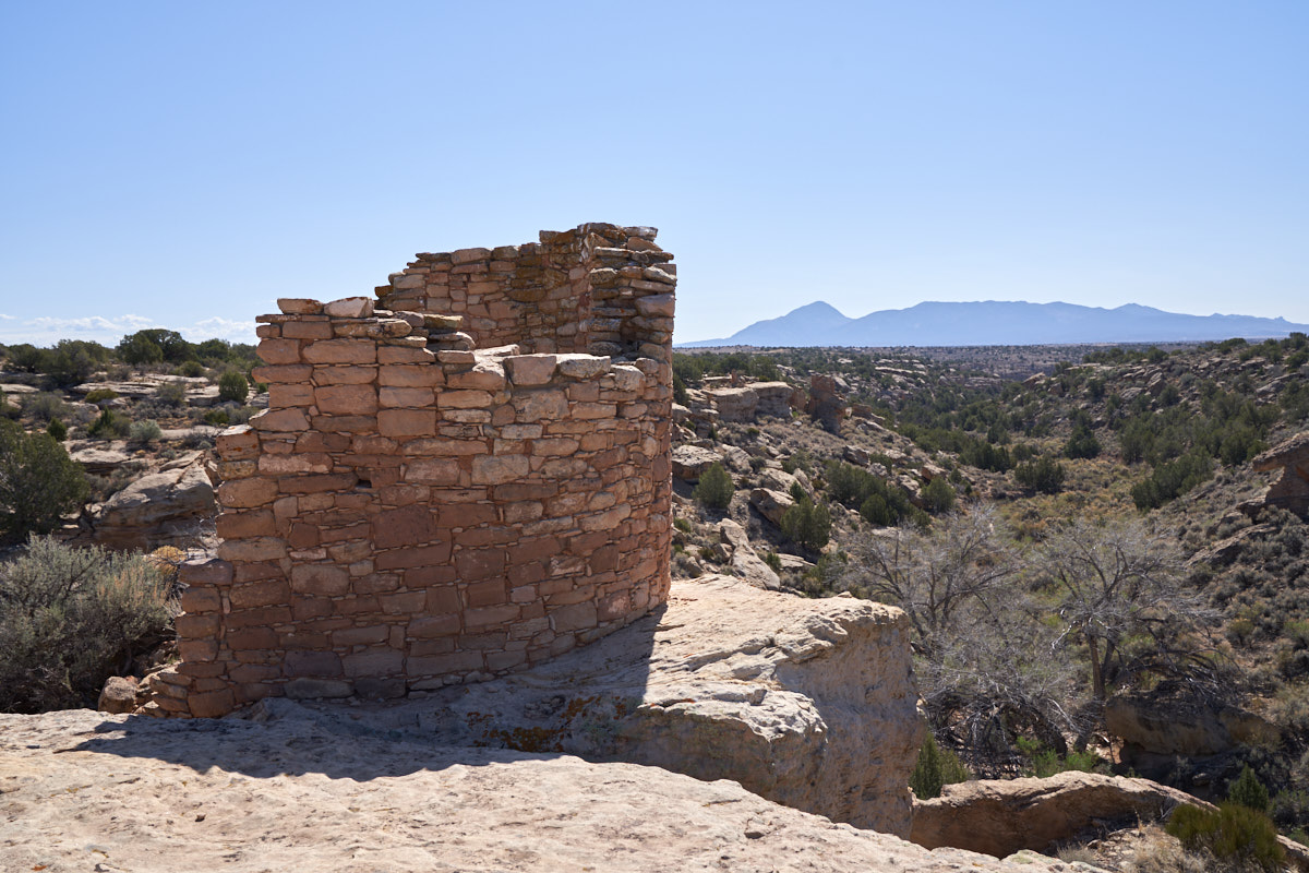
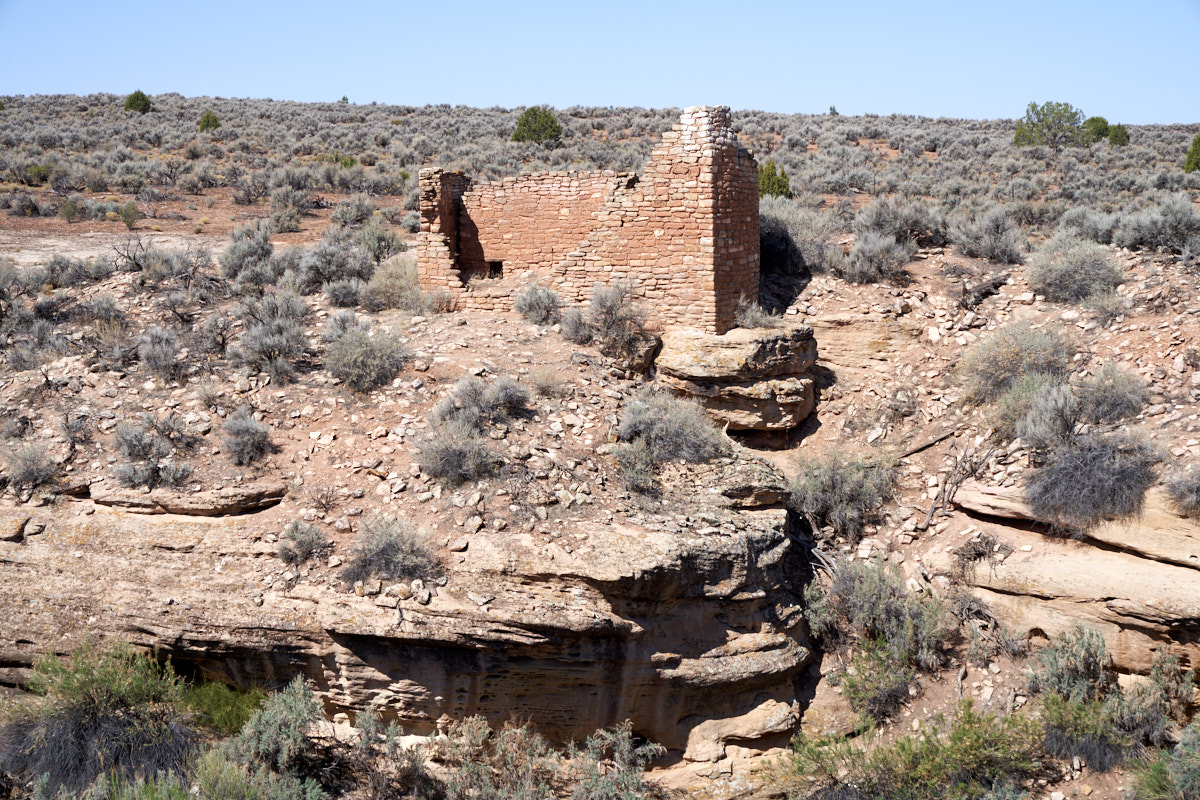
This
structure was built on an outcropping. Sleeping Ute
Mountain is in the distance, with the head at the left.
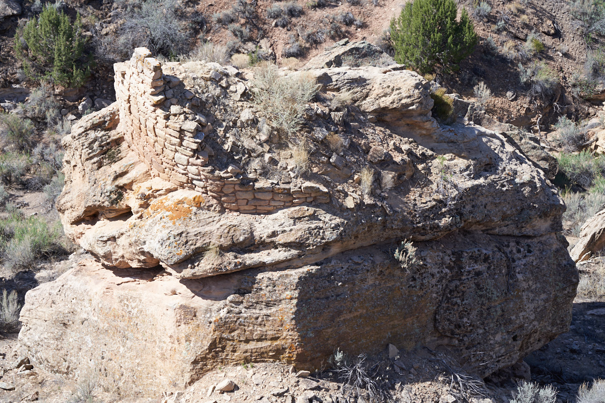
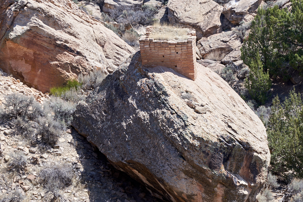
This structure was
built on a round-topped boulder in the canyon. The
rough, irregular surface of the boulder would have made living
in this structure particularly challenging. Why build
here?
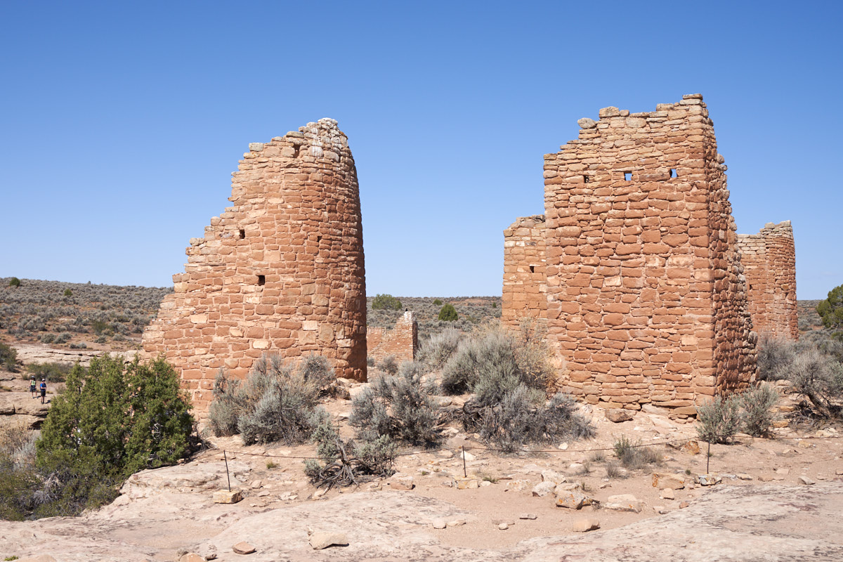
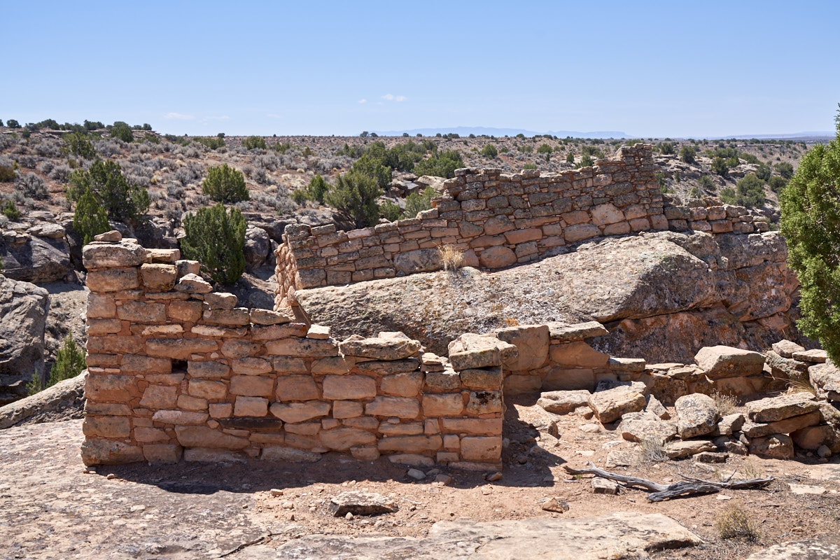
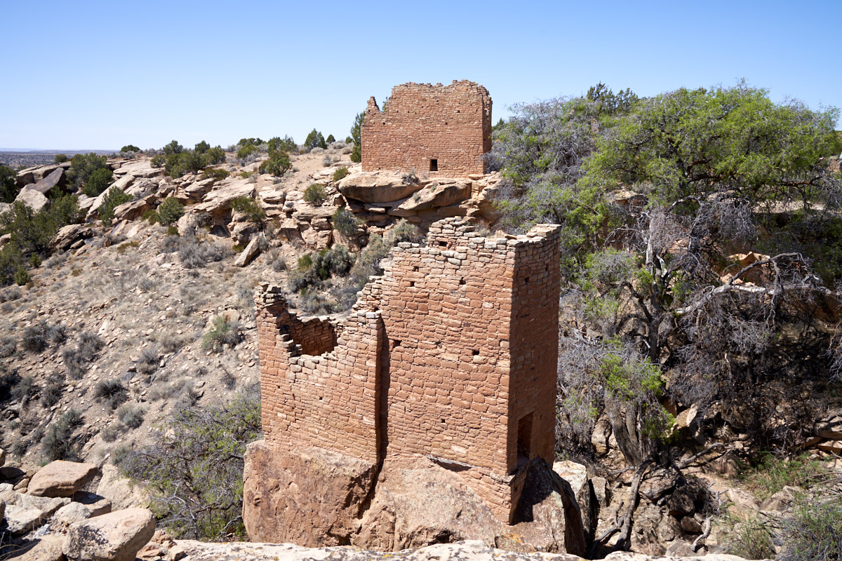
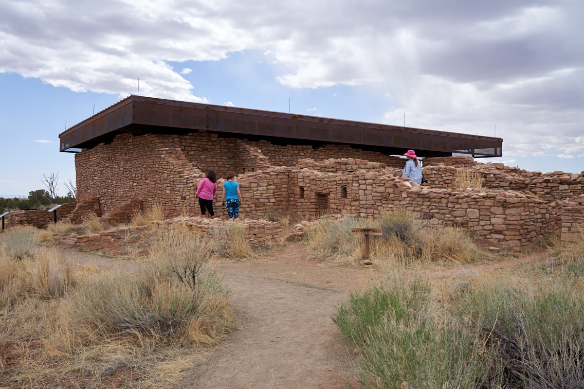
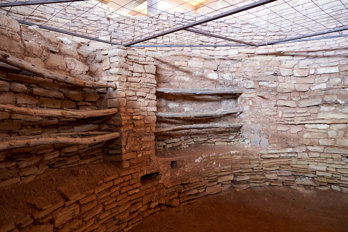
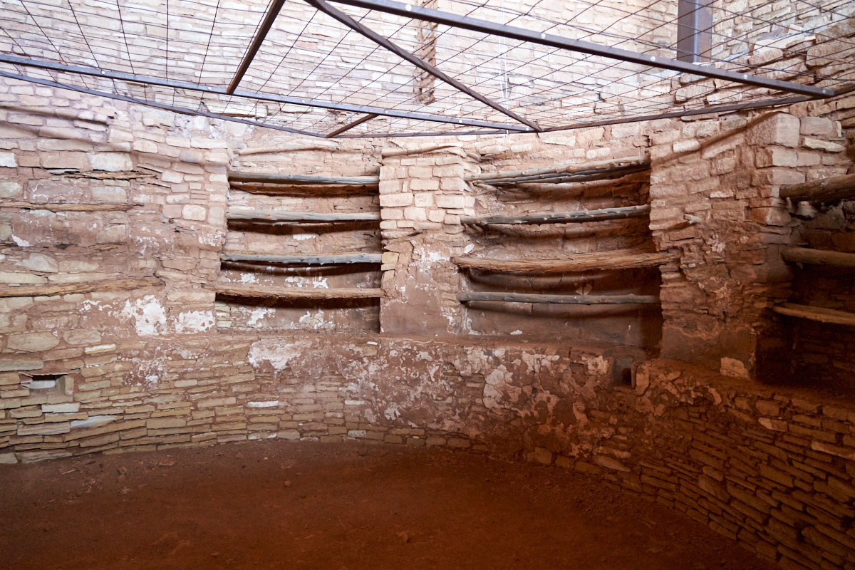
The main
towers at Hovenweep were in good shape.
The
towers used both straight and curved walls. Windows were
nowhere to be found.
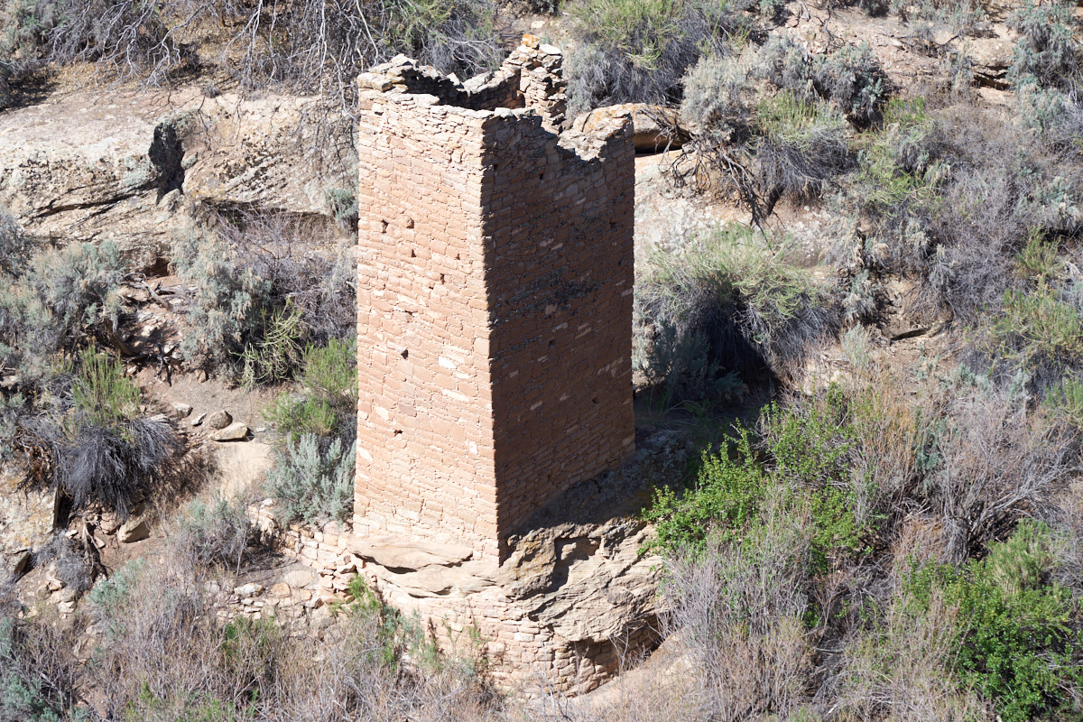
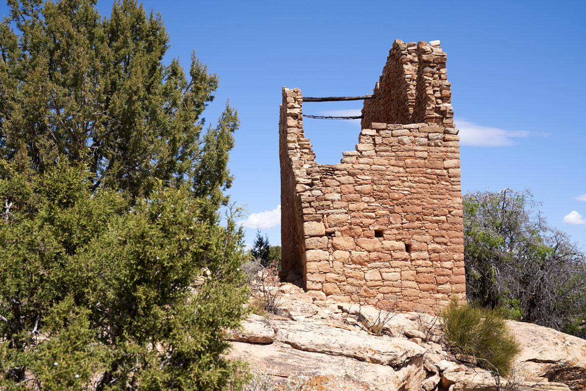
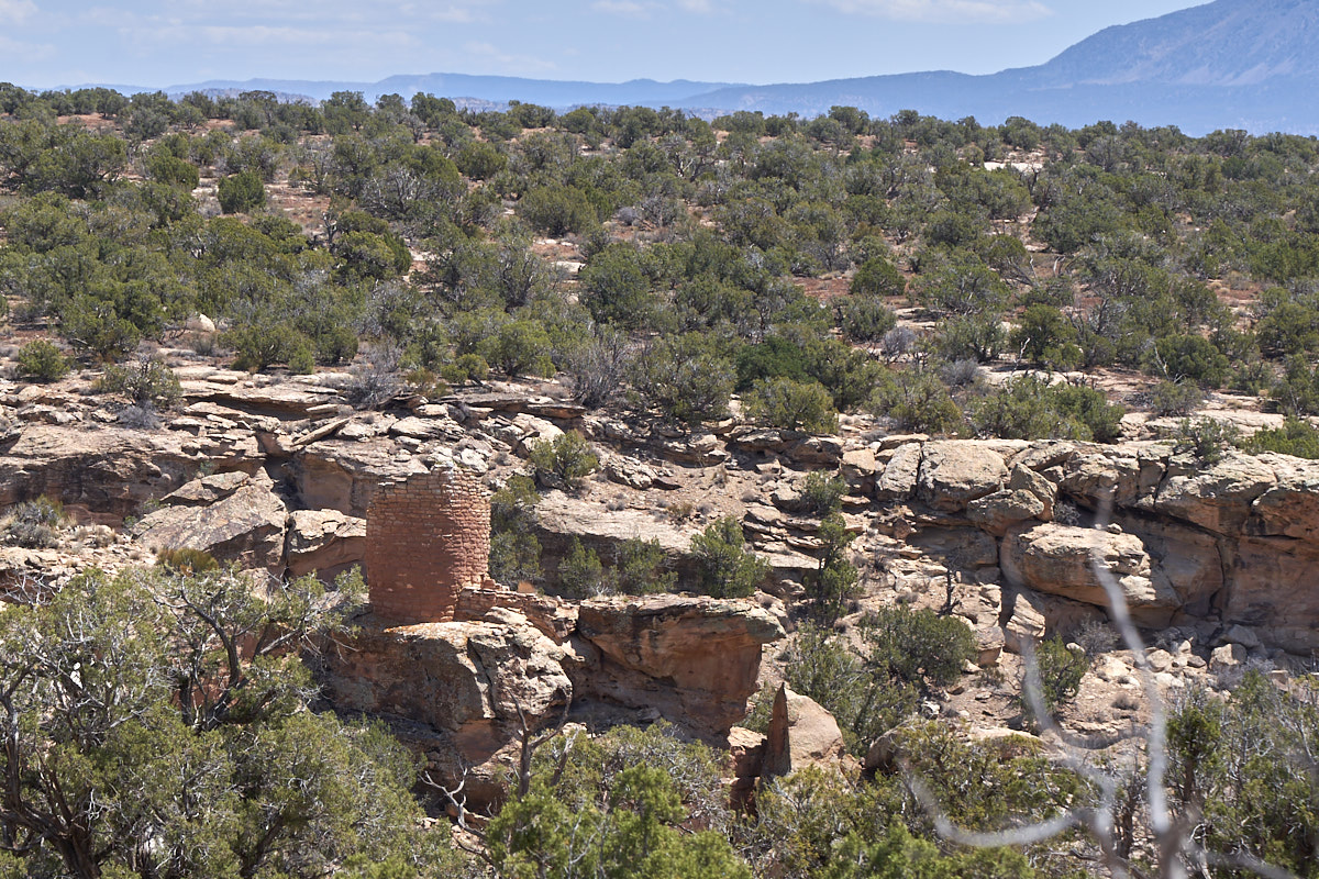
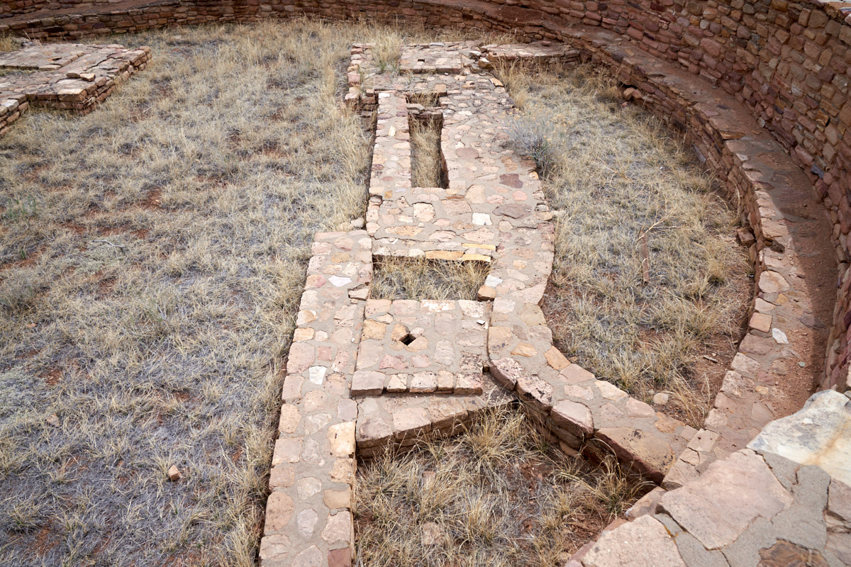
Down in
the floor of the canyon there was a square tower. Note
that the under-cut below the tower was filled with stones, which
I assume was to allow the the rock to carry the load of the
tower without collapsing.
Across a
small finger canyon we could see another tower, again built
right on the edge of the cliff.
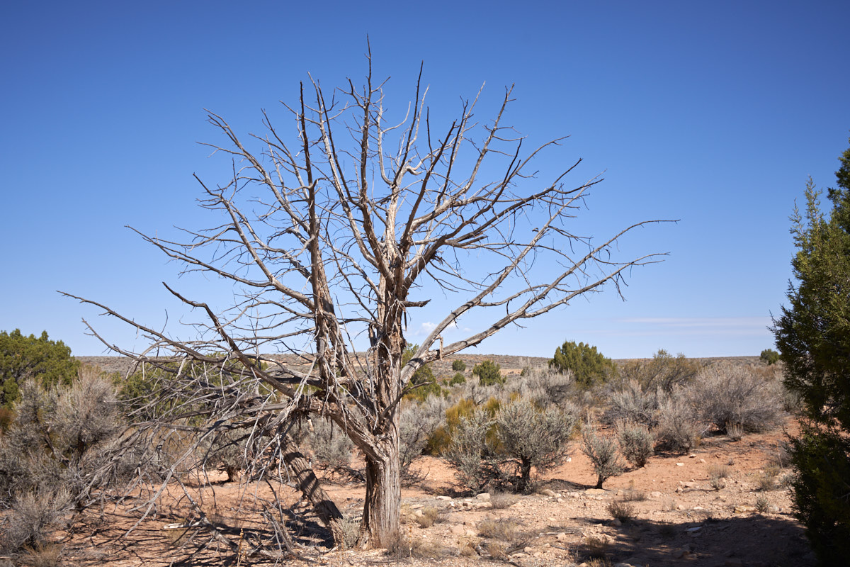
This is
a Utah Juniper, dead and leafless.
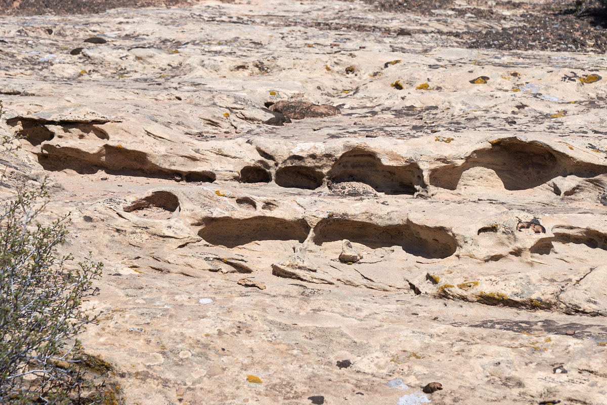
In the slick
rock country, blowing sand acts as a erosive force and scours
interesting shapes into the rock walls.
| Previous Adventure | ||
| Trip Home Page |
Photos and Text Copyright Bill Caid 2018, all rights
reserved.
For your enjoyment only, not for commercial use.