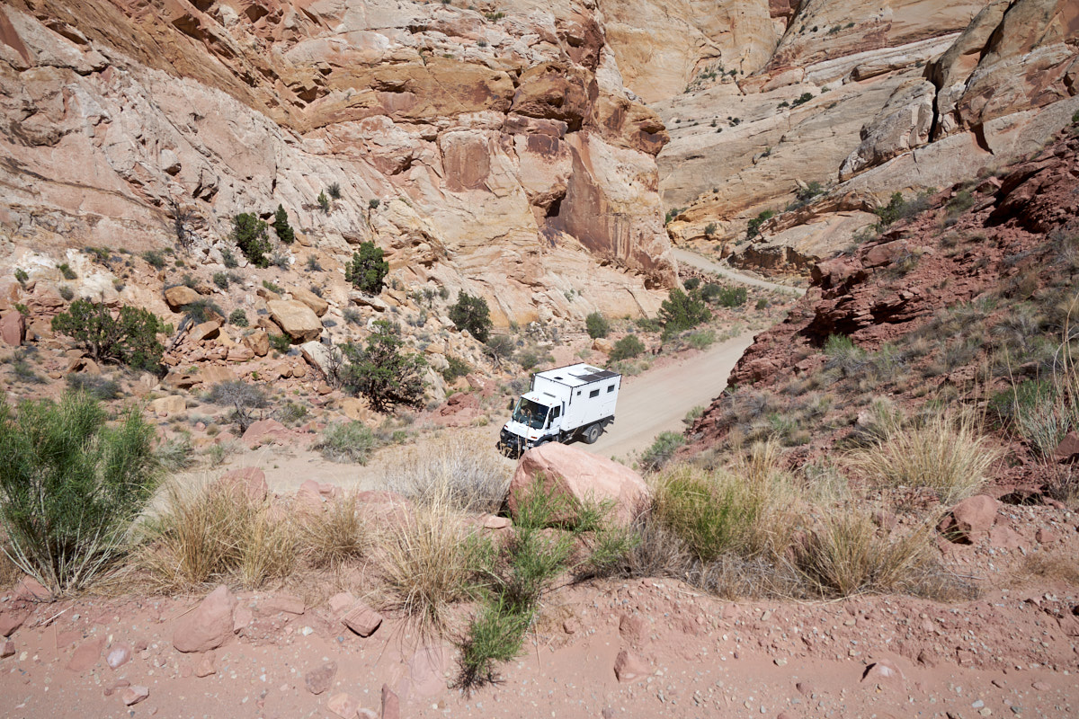
The photos below are what we saw.
We
headed south along a dirt track that generally followed the
Green River valley. The surface terrain was not very
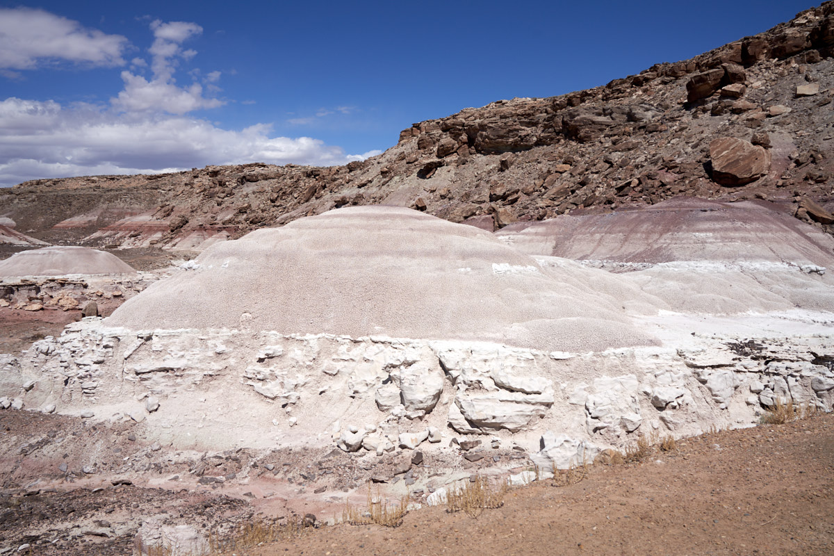
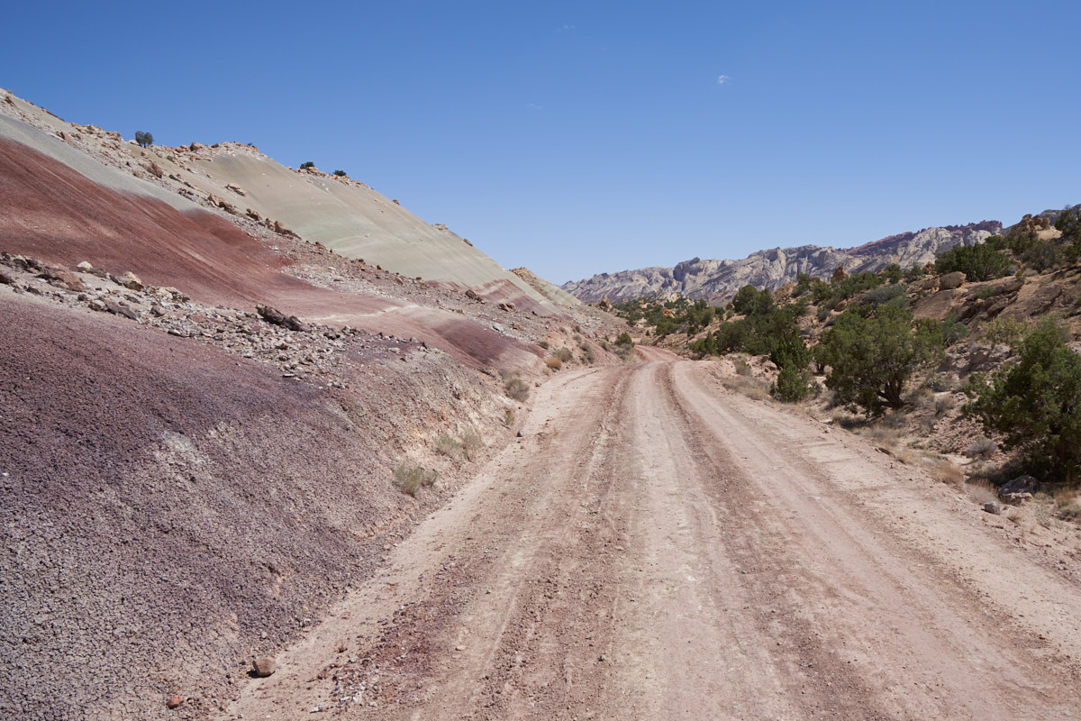
interesting except for a few outcroppings. This
outcropping was remarkable due to its color and texture.
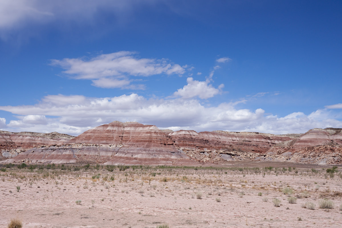
A bit
further south, hills and cliffs with colorful strata became
visible.
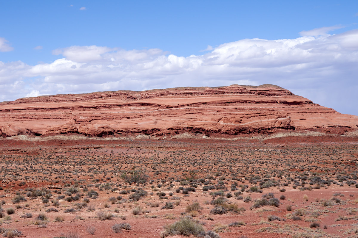
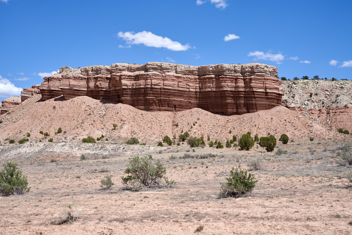
As we
got further downstream on the Green River the outcroppings
became red sandstone. Note the wrinkled dark red layer at
the base of this outcropping. Not all wrinkling propagates
to the next higher layer in the strata implying that deposition
occurred over the wrinkled layer.
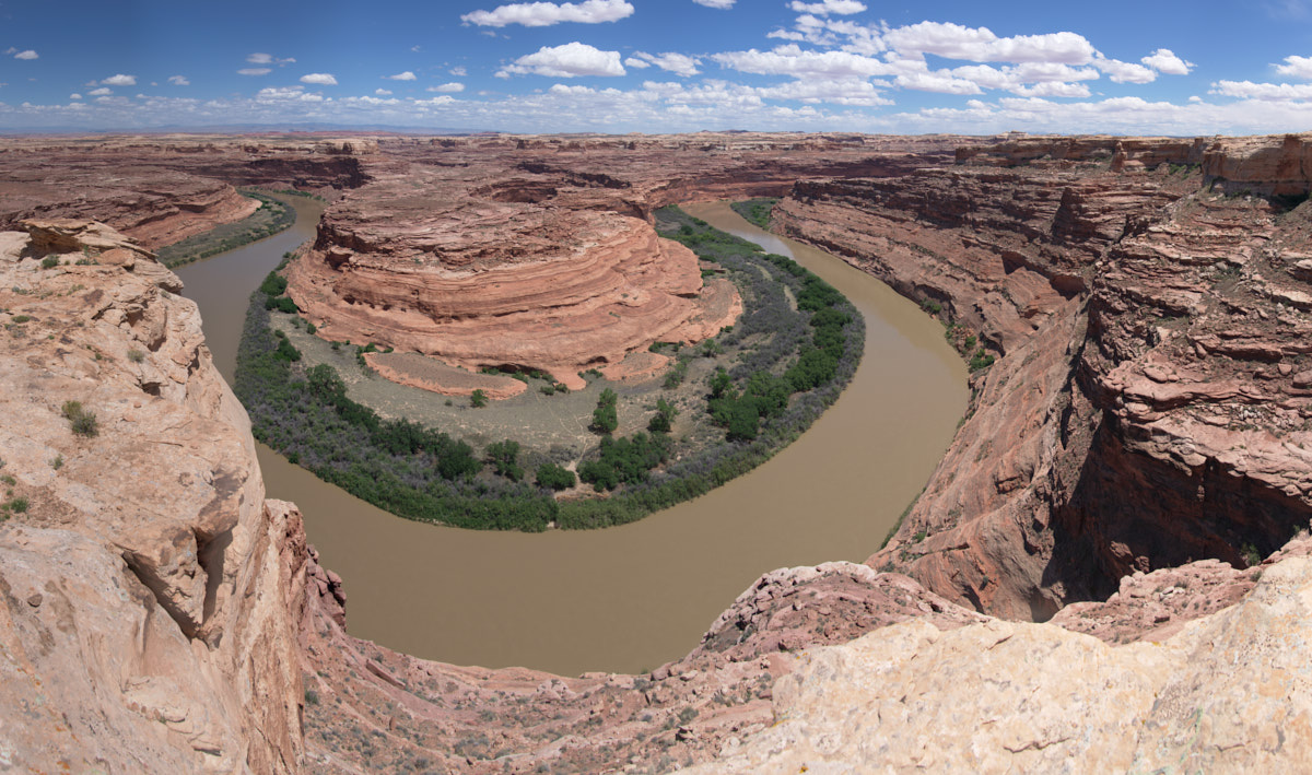
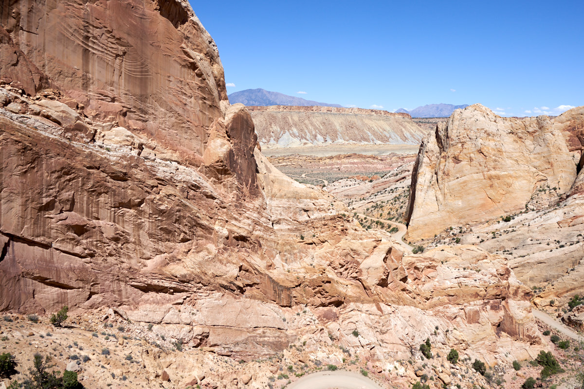
We
traveled for several hours before finally reaching the first
overlook on the Green River canyon. This entrenched
meander was sufficiently large that I could not get it in one
24mm frame. The shot above is a 7-photo composite.
The river has carved steep, impassible canyon walls into the
mesa.
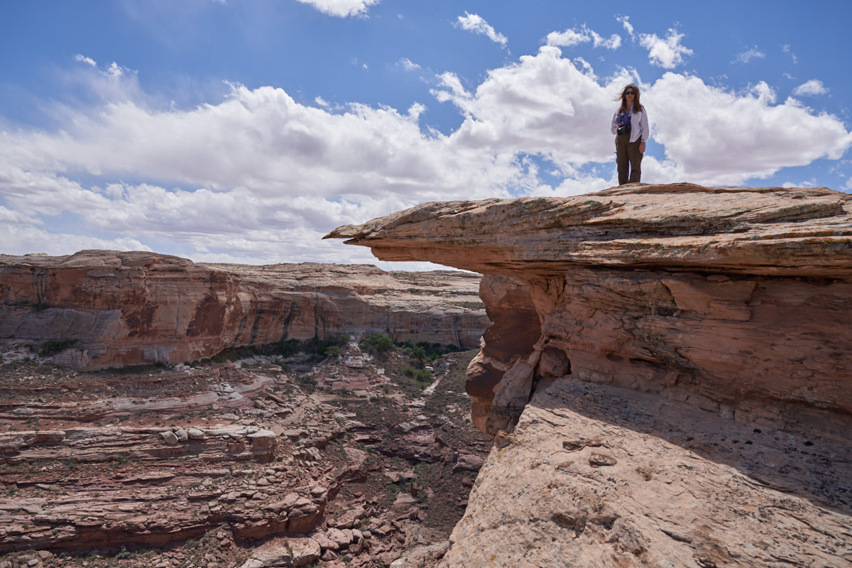
In these
situations, the urge is to walk to the very edge of the canyon
for the best shot. I had suspected that the edge was
overhanging so I warned Kathleen to stay back. The wind
was blowing hard so caution is the order of the day.
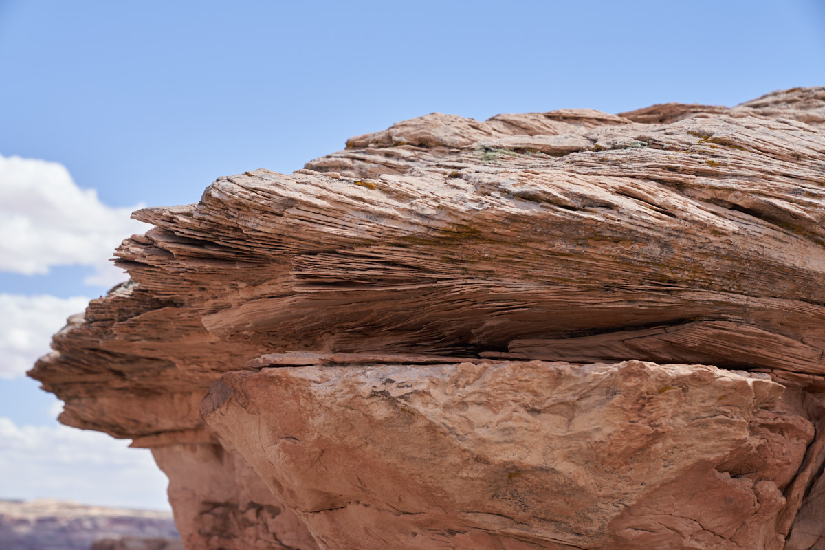
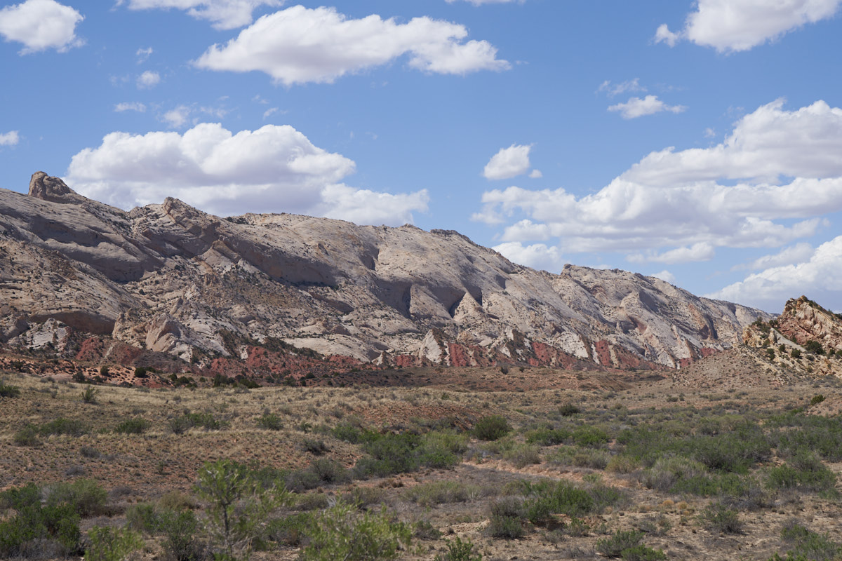
The
sandstone in this area was created from frozen dunes. Note
the layering pattern in the rock.
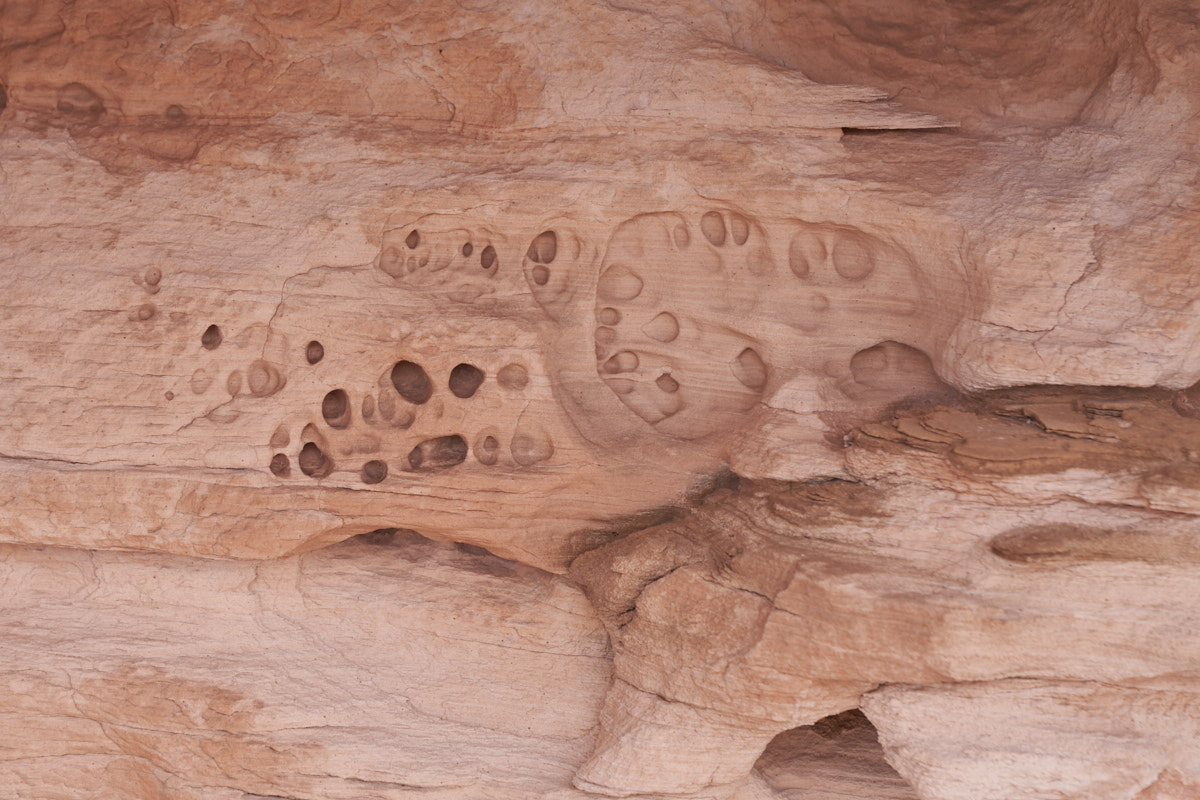
The
under side of exposed areas showed wind-driven erosion, even at
a small scale. The holes in the photo above are about the
size of a quarter.
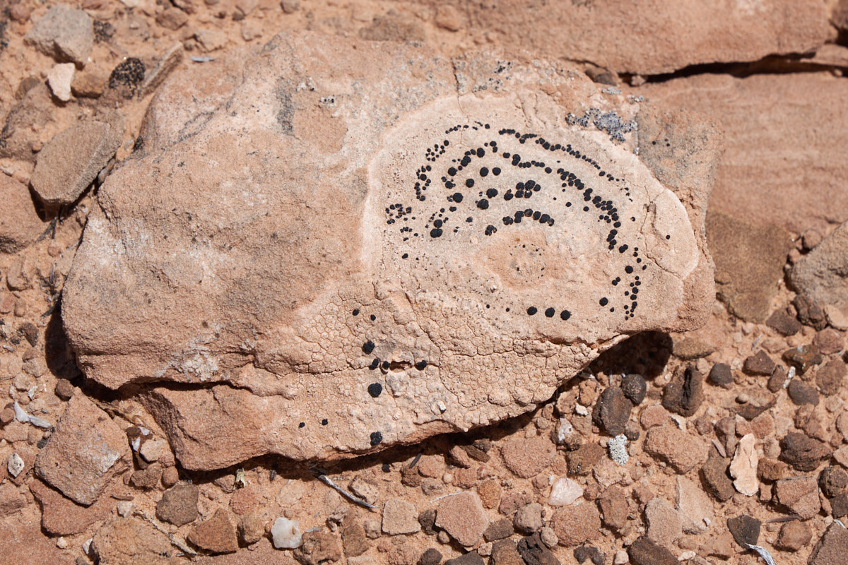
I
spotted this rock with lichen on it. Note that the lichen
has "chewed" into the rock and the chemicals secreted by the
lichen has eaten into the rock surface. These lichen "eat"
rock.
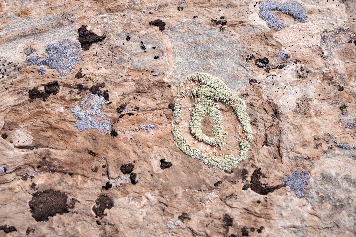
This
area hosts at least 3 different kinds of lichen.
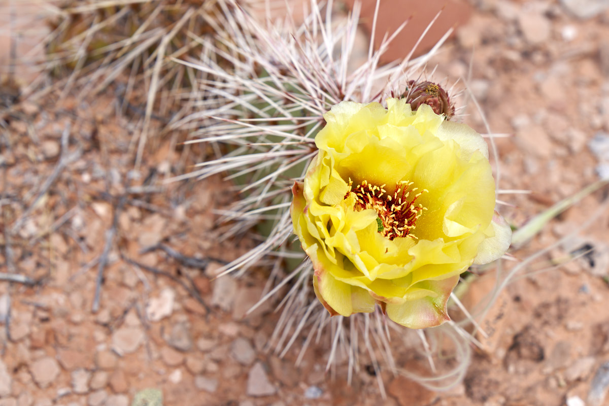
In an
open area I spotted a cactus in bloom.
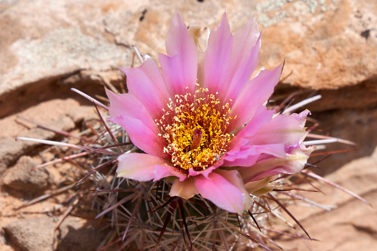
There
were both yellow and purple cactus flowers.
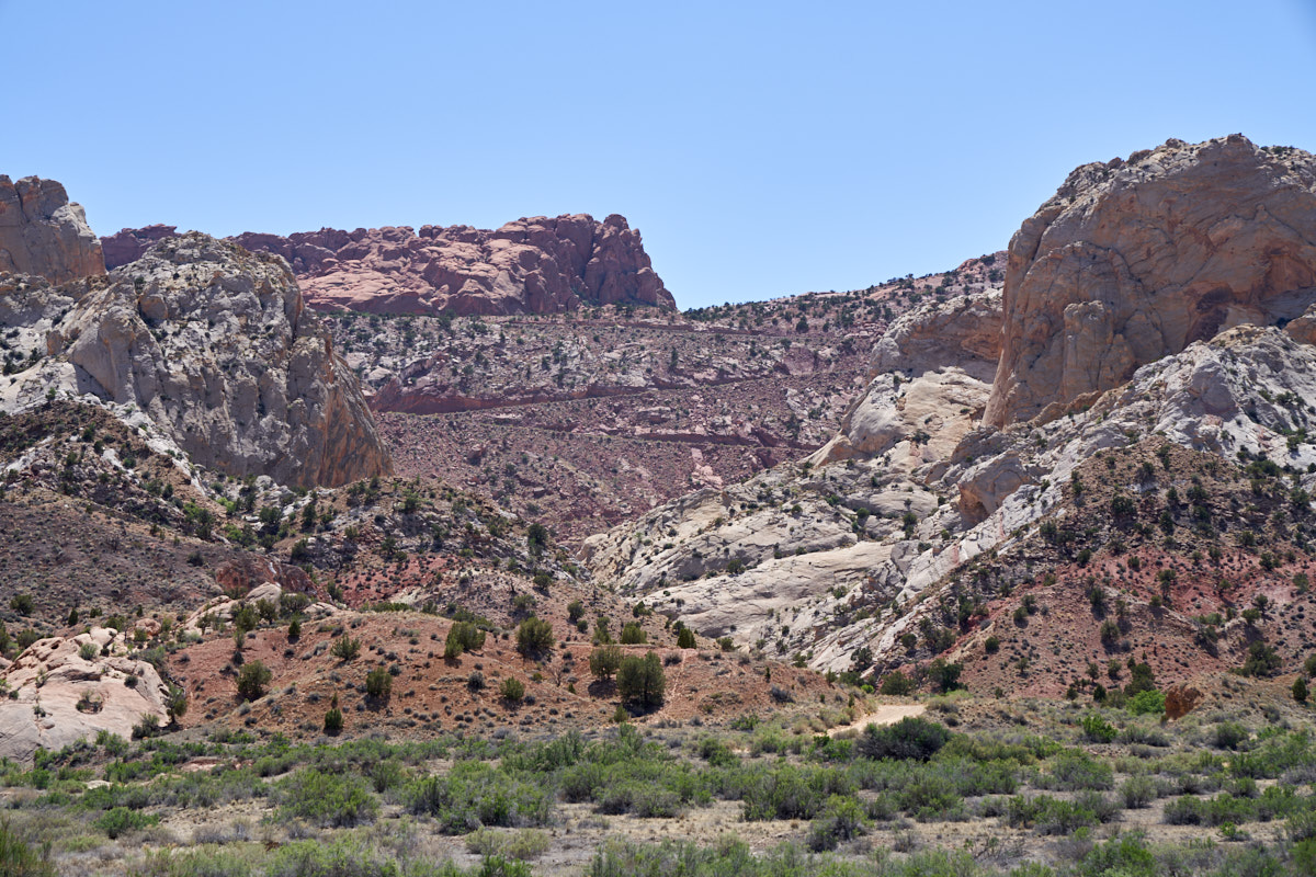
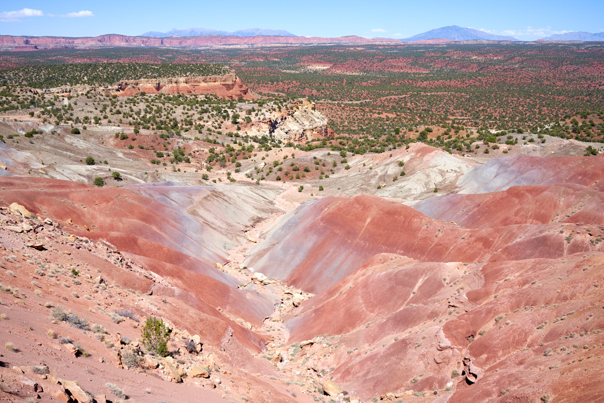
We
decided to eat lunch at the overlook. We had a nice view
of the canyon and the monuments and hoodoos in the distance.
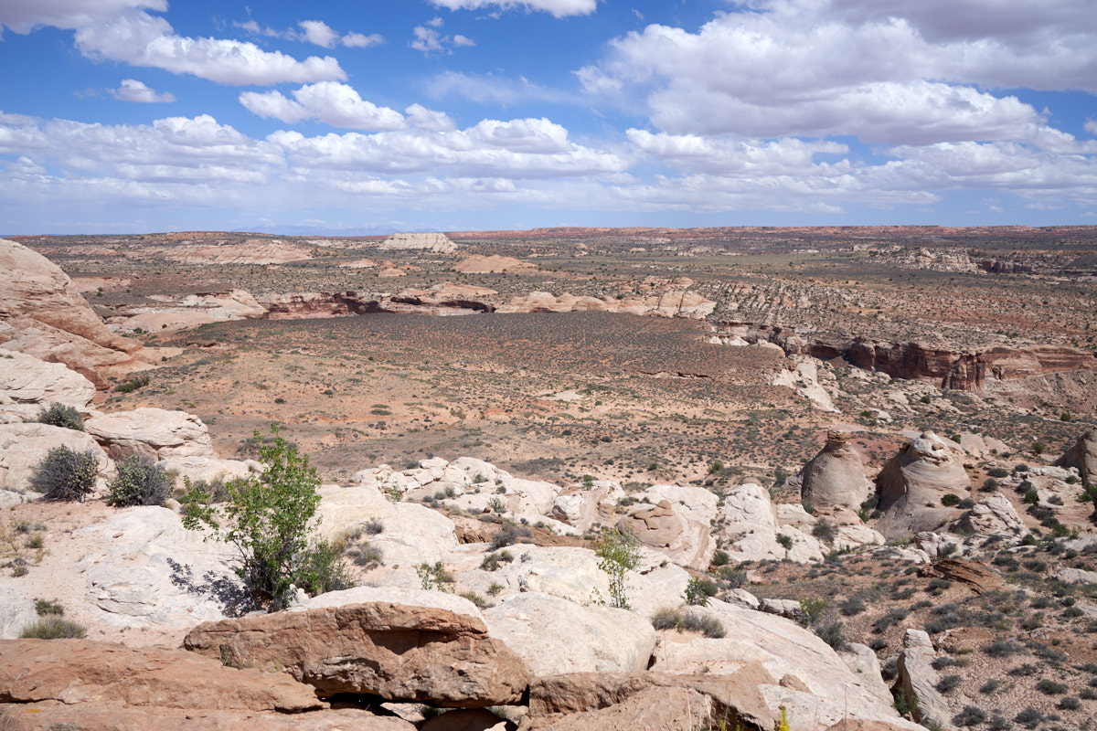
We
continued south to what we thought would be another overlook but
discovered that it was a trail head instead. Mark and Gail
decided to hike down into the side canyon but discovered that
the bottom of the canyon was way too far to go in the waning
light of the afternoon. All told, they walked about an
hour. The Horseshoe Canyon trail started on the ridge and
then descended into the nearby canyon.
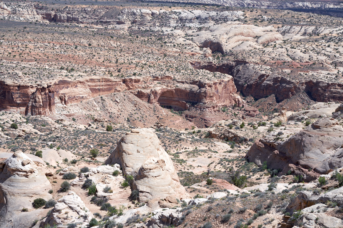 '
'A
portion of the trail is visible in the photo above.
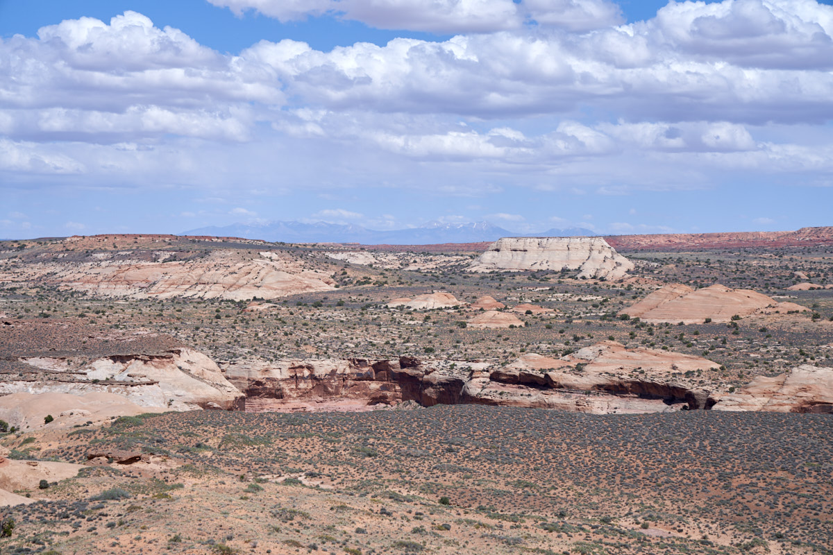
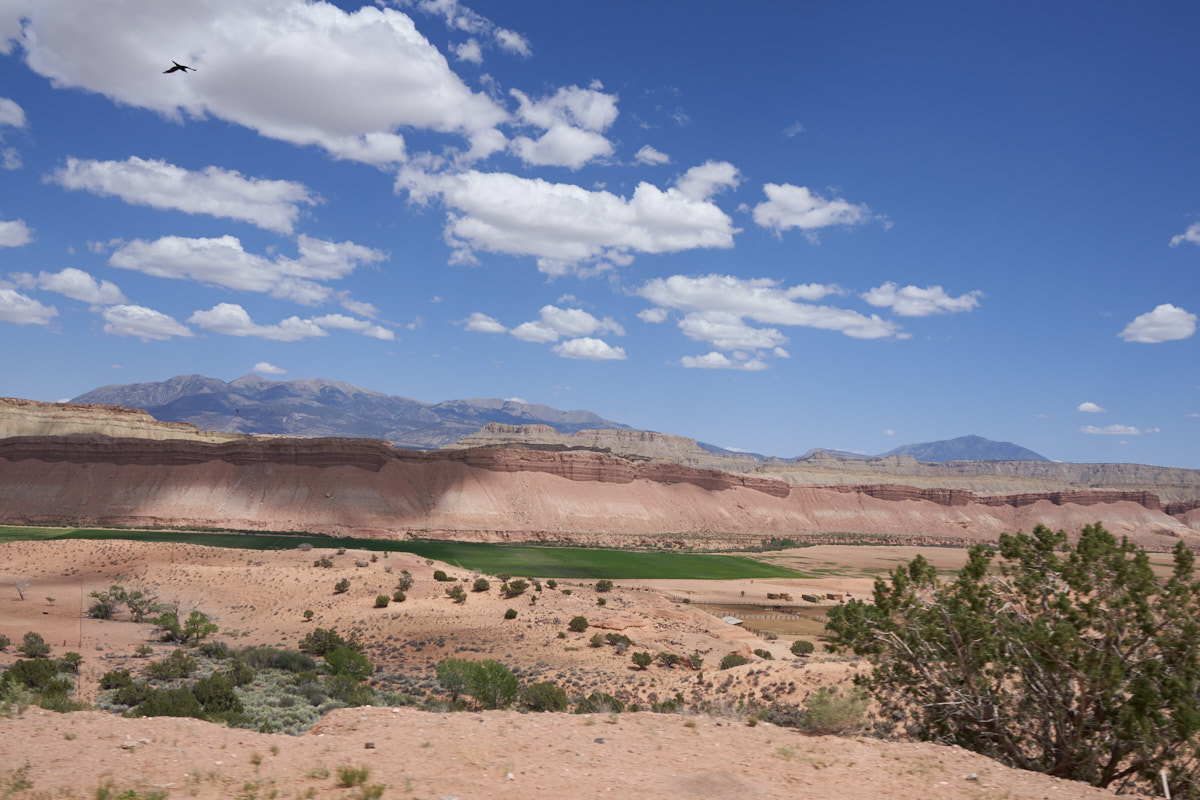
From the
Horseshoe Canyon trailhead we could see the still-snowy La Salle
mountains in the far distance. The inner canyon is deep
and therefore not visible. It was late in the day and the
wind was blowing strong. Given the distances that we
needed to go, it seemed prudent to stay at Horseshoe Canyon, so
we did.
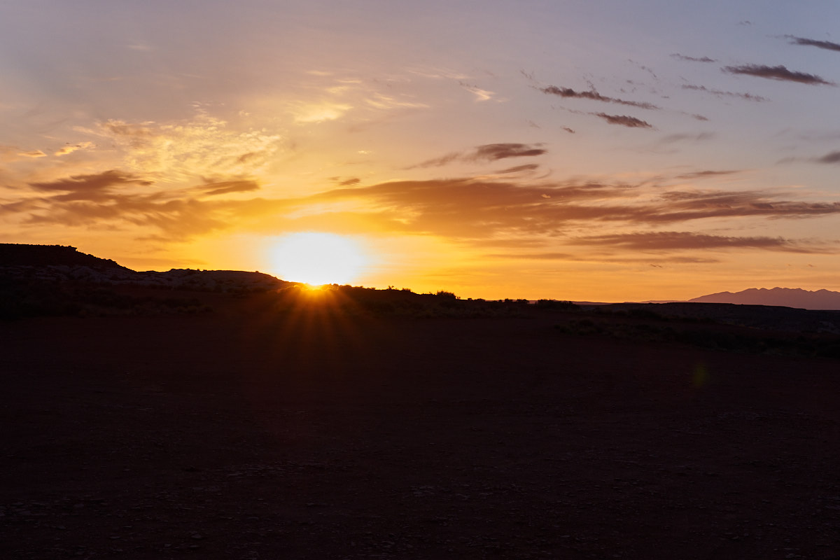
We had a
nice evening and when I awoke the following morning I discovered
that the sun was just coming over the horizon. I was a bit
slow on the draw as I was thick-headed from sleep.
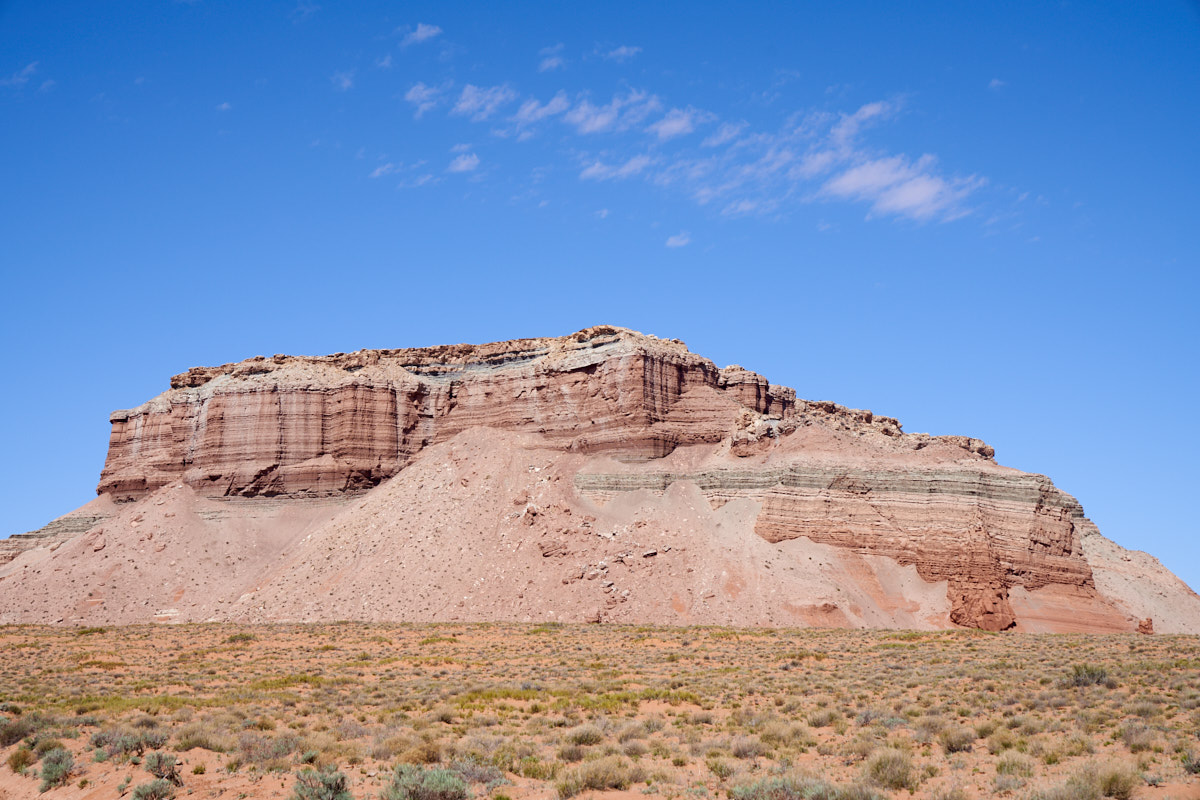
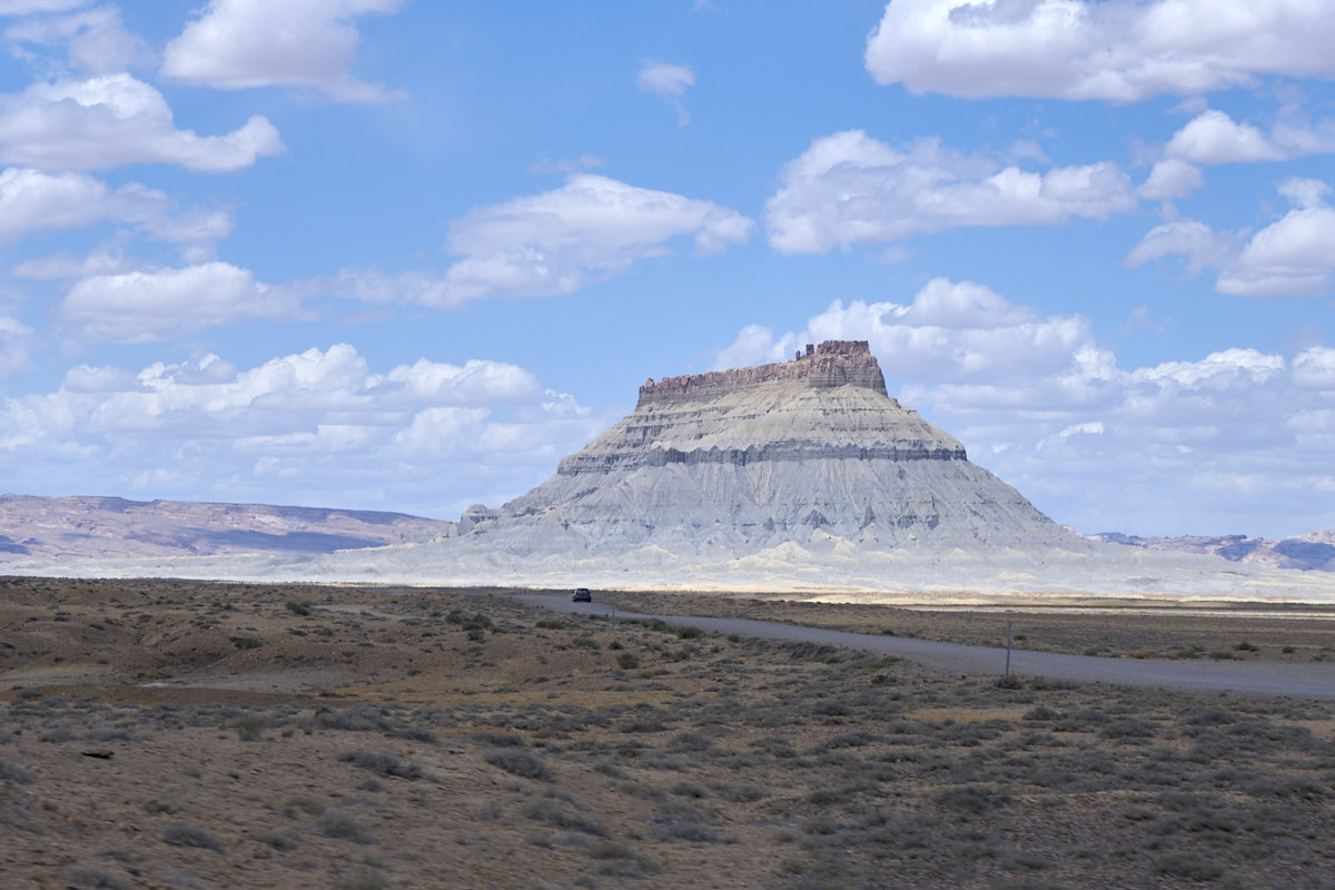
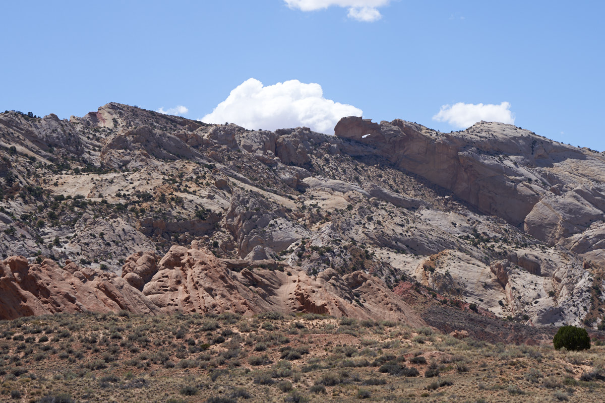
Our path
would take us south from Horseshoe Canyon then west toward
Goblin Valley. Along the way we passed this nice
monument. The rock in this area was quite soft; note the
big talus slopes at the base of the cliffs.
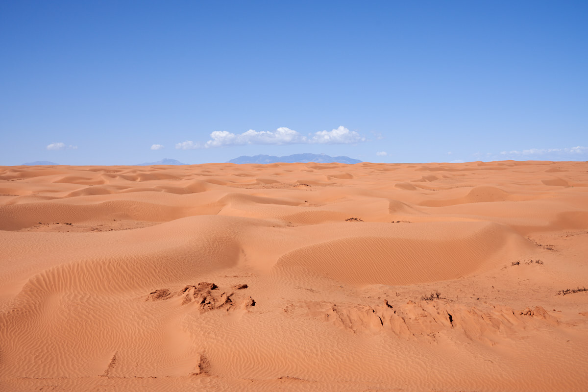
A bit
further down the trail we encountered blow sand hills. The
Henry Mountains are visible to the south.
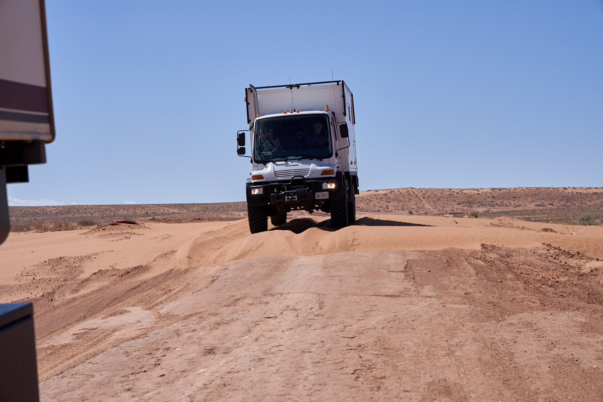
At
several points the trail was covered by blow sand. Thor
was fish-tailing in the sand so Mark was more conservative.
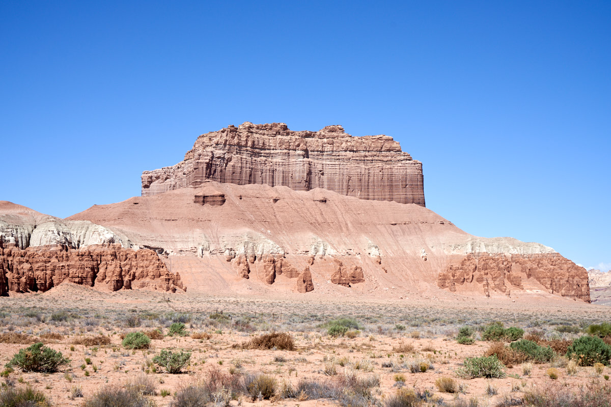
Closer
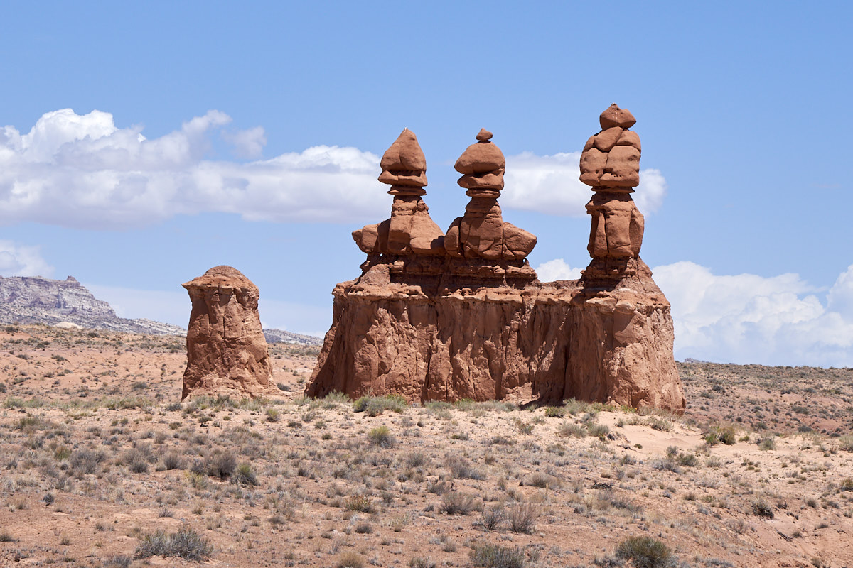
to Goblin Valley we came upon more nice monuments.
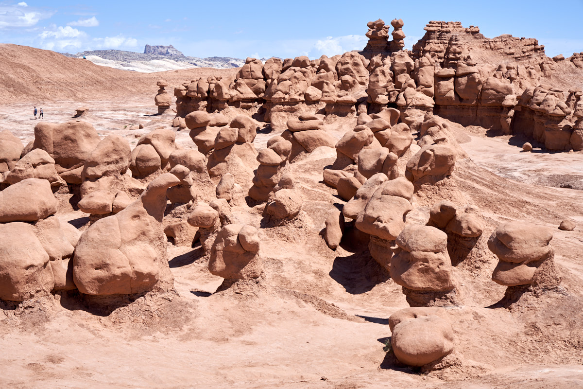
We had
never been to Goblin Valley so we decided to check it out.
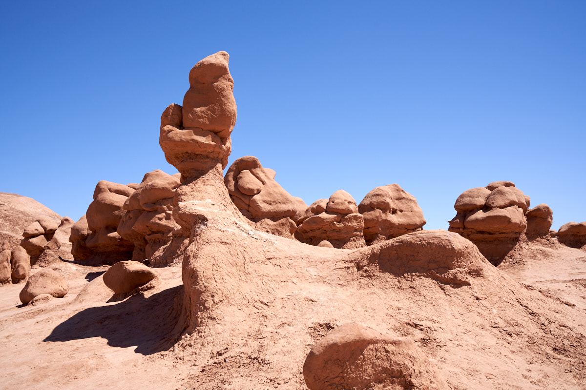
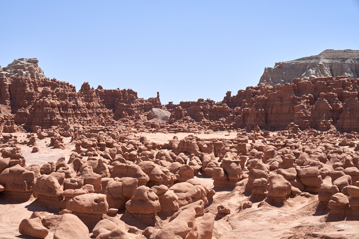
Essentially, goblins are just mini-hoodoos. The
combination of strong winds, blowing sand, hard capstone with a
softer layer below results in goblins. These goblins occur
in the Entrada Sandstone formation.
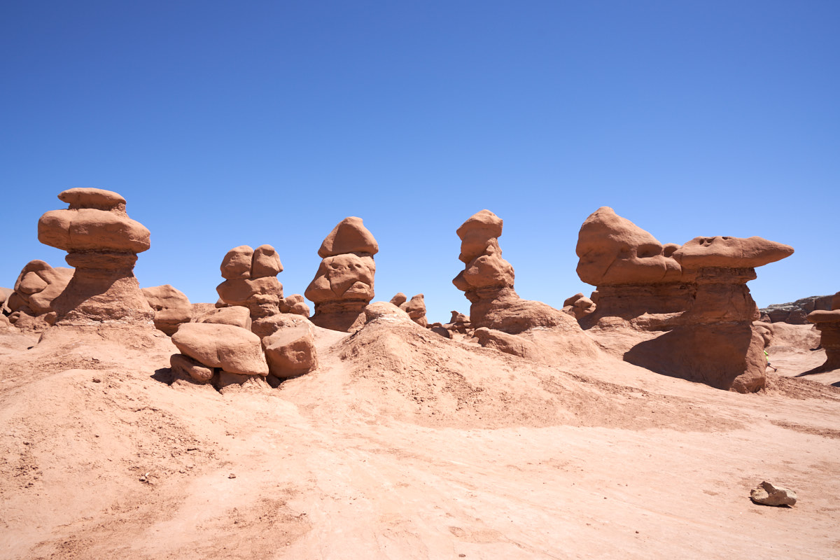
Goblins
come in all sizes and shapes.
| Previous Adventure | ||
| Trip Home Page |
Photos and Text Copyright Bill Caid 2018, all rights
reserved.
For your enjoyment only, not for commercial use.