We were
quite lucky with regard to traffic during this portion of our
trip. In this case, "luck" was defined as pre-planning a
route that would not take us into the metro-Bay Area and
generally skirted the heavily populated areas. Our
planning paid off and any traffic we saw was in the opposing lane.
We arrived at Petaluma, our destination for the day, with plenty
of daylight to spare. Our objective was to stay with "mog friends" Kevin and
Kirsten at their ranch on the outskirts of Petaluma.
The photos below are what we saw.
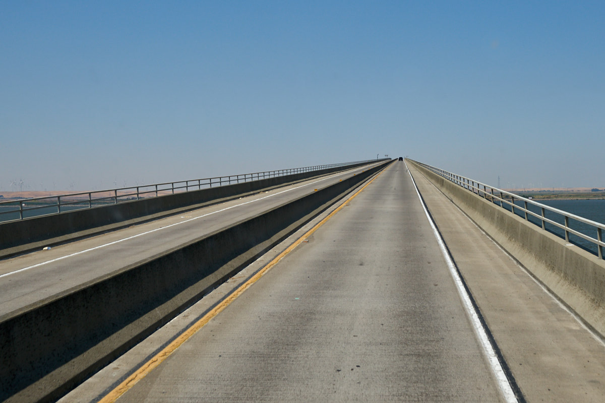
Once we
got into the metro Bay Area we saw awesome infrastructure
projects. There were many bridges of a variety of
types. This bridge was as steep as it looked. The
height was necessary to provide clearance for ships traveling up
the Sacramento River. This is a toll bridge and it was $5
to cross in one direction.
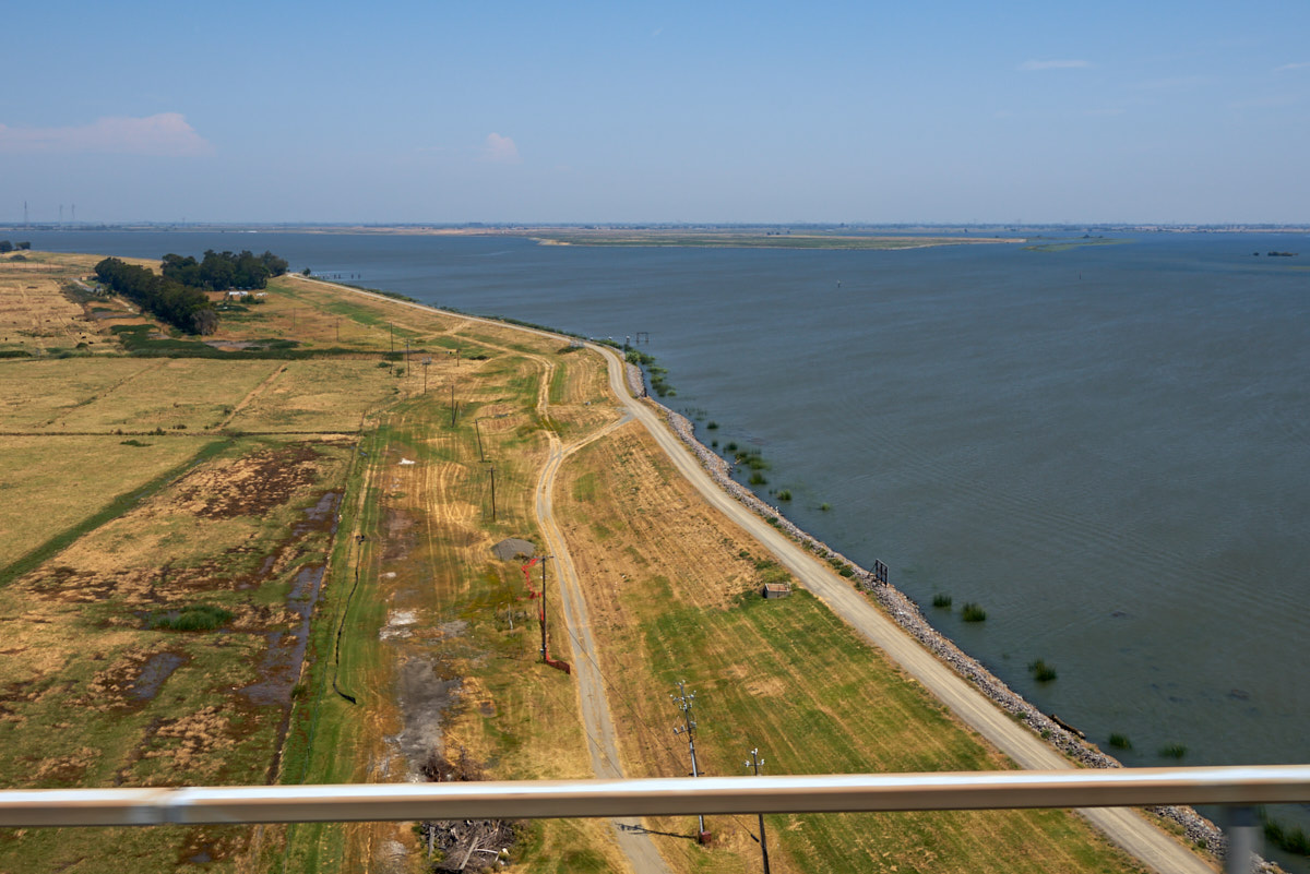
From the
height of the bridge we could see the flood plains of the river
below. The flood plains provided rich farm lands, but the
periodic flooding made living in the area problematic.
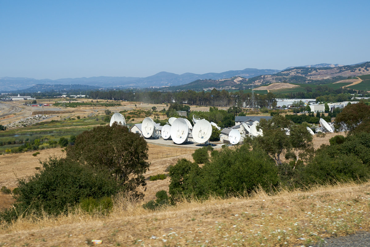
On the
north side of the bay we passed this installation of satellite
dishes which likely belongs to the local cable company.
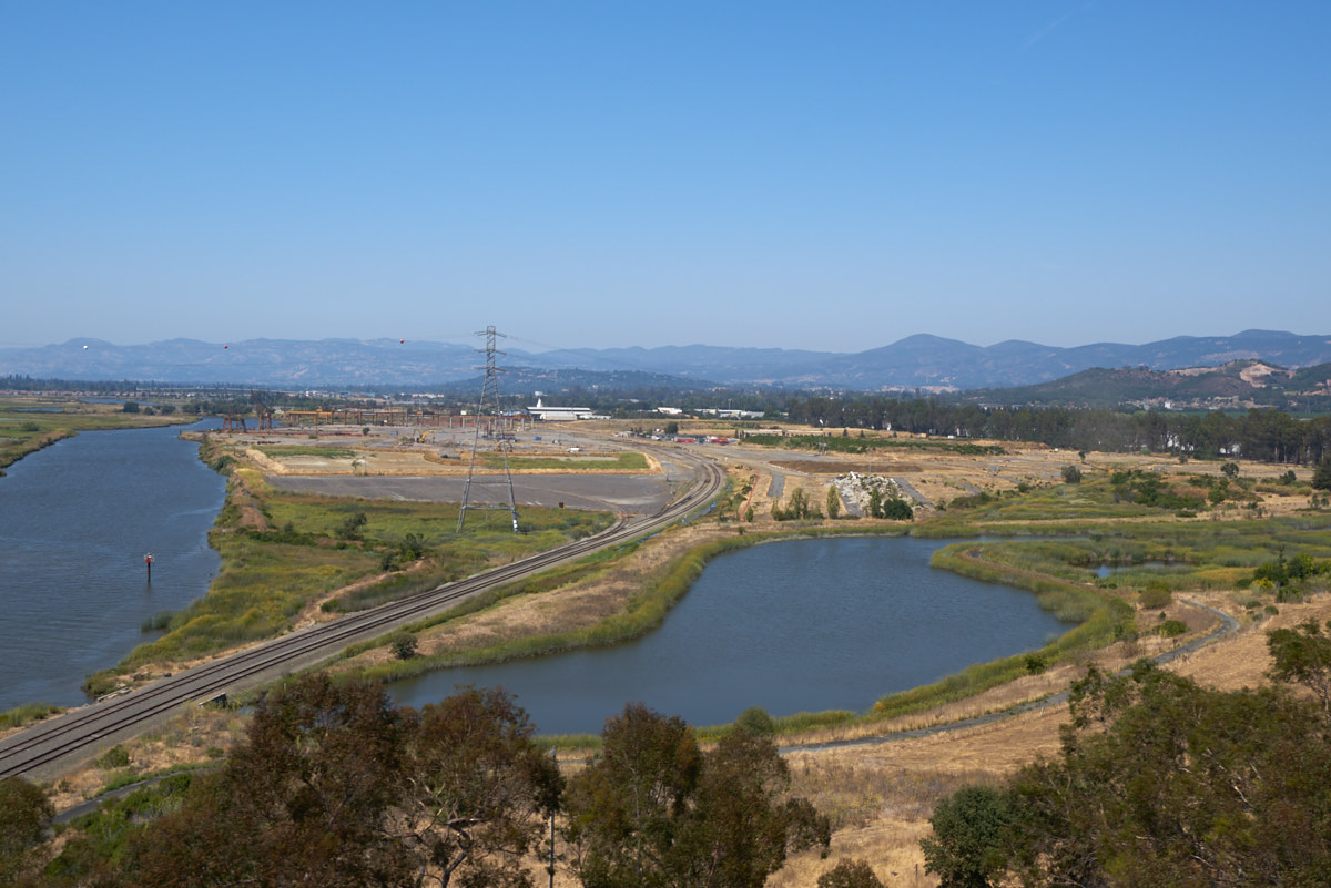
More
bridges and more tidal sloughs.
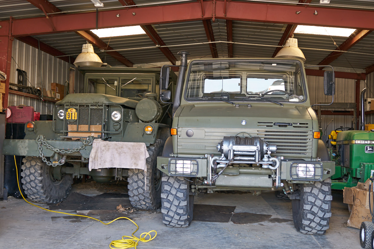
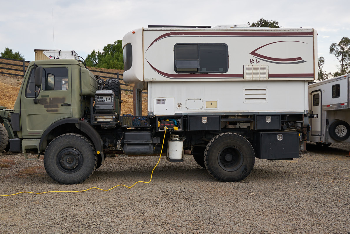
We
finally arrived at our destination in Petaluma where I realized
(again) that "he who dies with the most toys, wins". Kevin
has me beat hands-down with several unimogs, a huge ex-mil dump
truck as well as more conventional farm equipment.
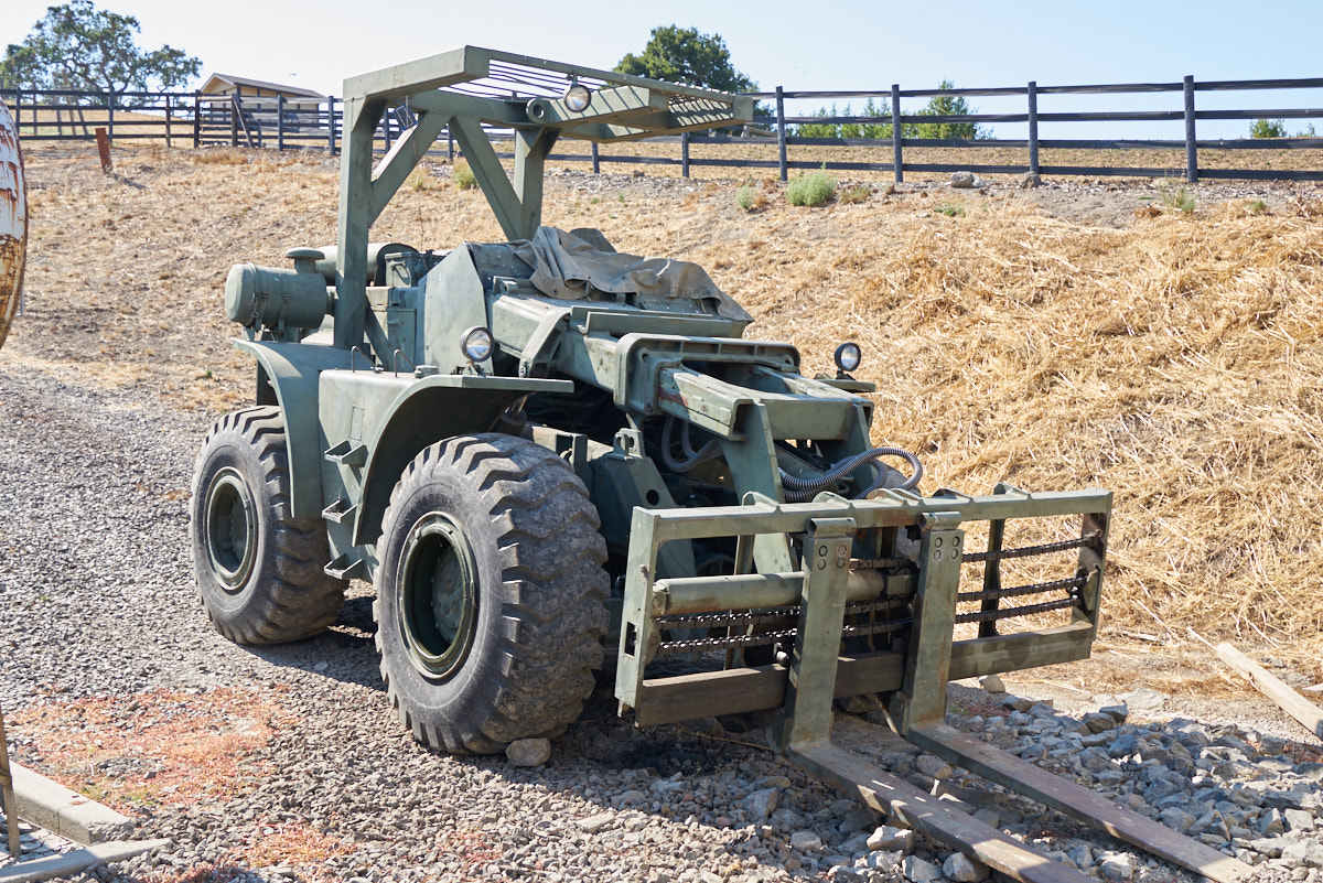
Kevin's
10,000 pound Pettibone rough terrain fork lift.
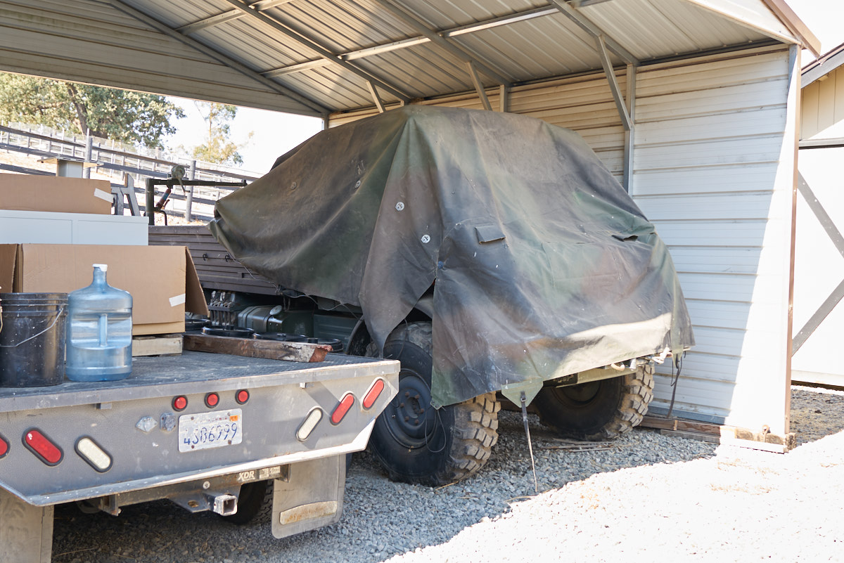
There is
another 1300L Unimog hiding under that tarp in addition to the
ranch truck at the left of the photo above.
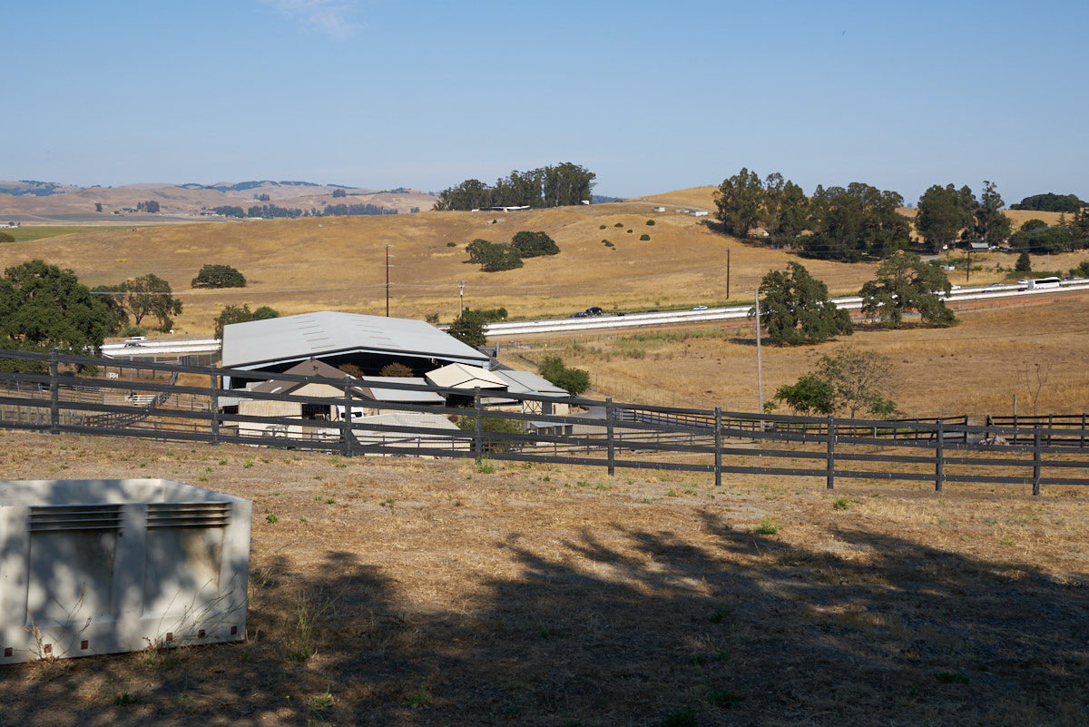
The farm
is focused on horses and they have extensive boarding and
training facilities as well as a huge covered arena. That
is US101 in the background.
Kirsten
was hosting "horse friends" while we were there so we parked in
the barn area. It was a quiet and comfortable night.
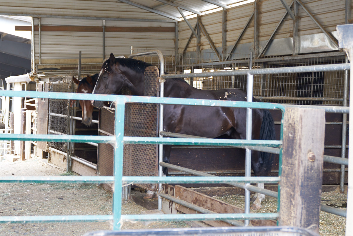
The
horses just completed competition and were tired.
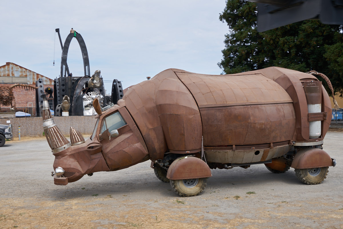
Next
morning, we headed toward Bodega Bay and passed this odd contraption.
WTF?
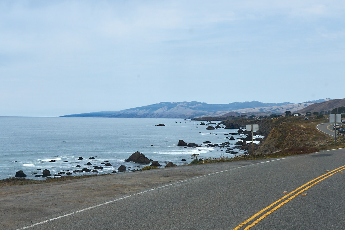
North of
Bodega Bay on SR-1 we started getting views of the rocky
coastline.
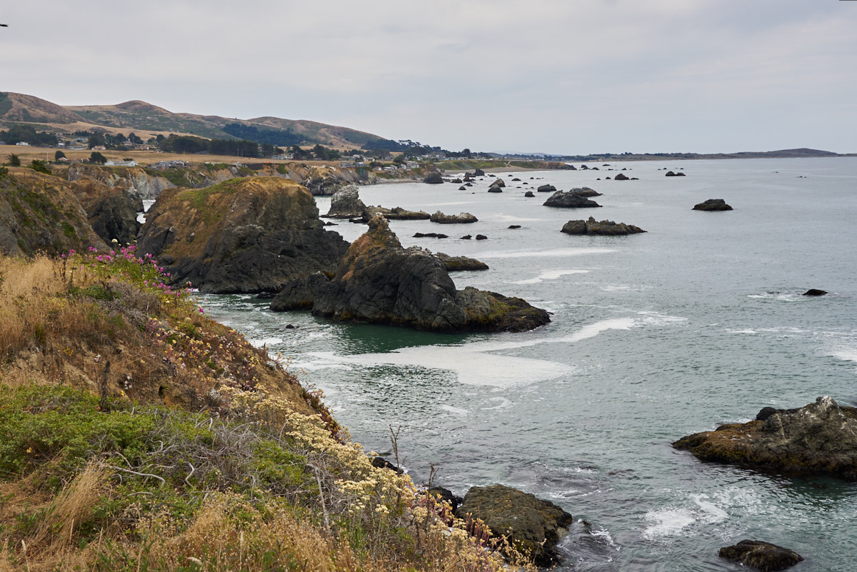
The weather
was not cooperating and the cloudy/overcast light made taking
colorful photos problematic.
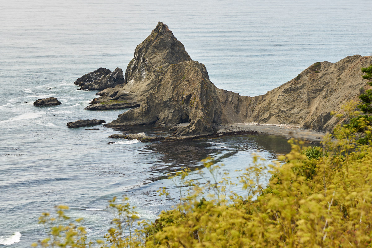
Some of
the rocky coves were quite scenic.
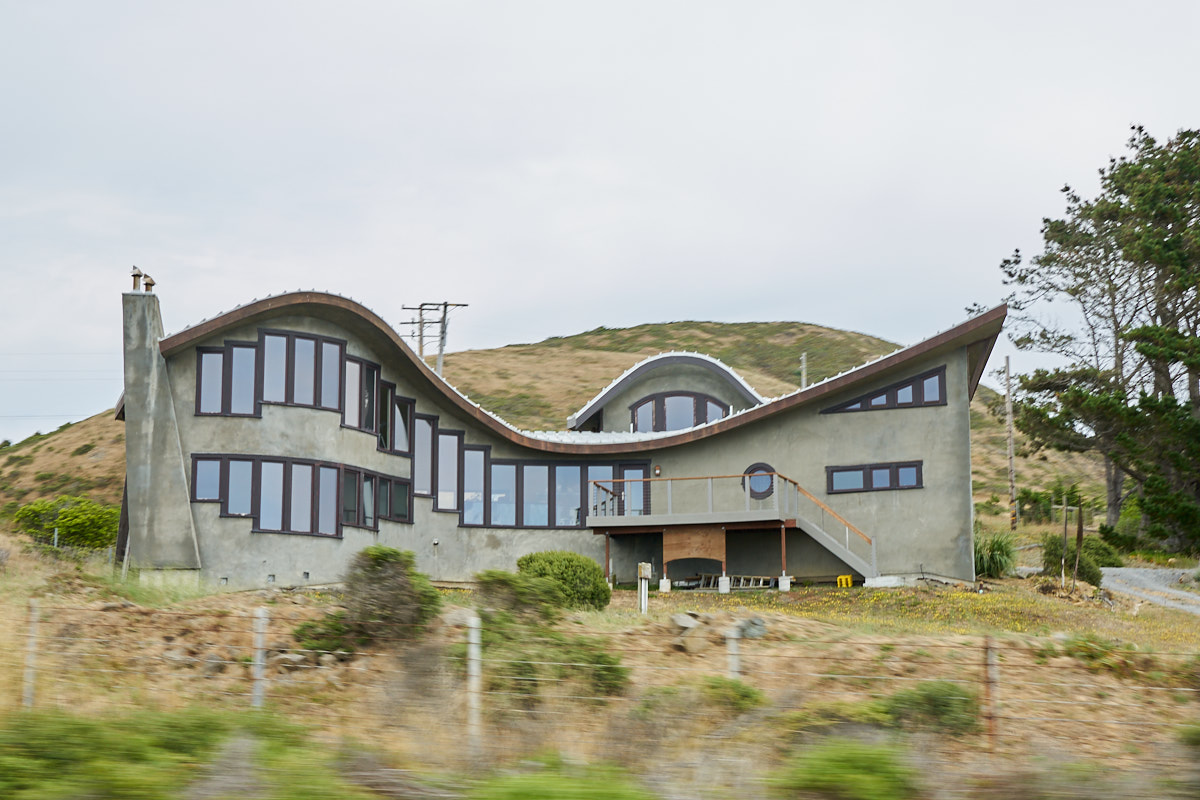
We
passed this unique dwelling next to the highway.
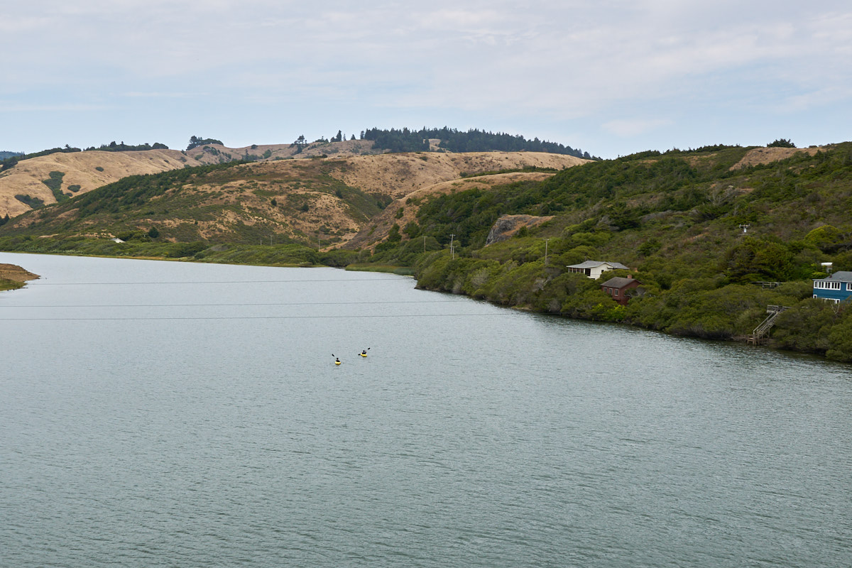
At the
Russian River we saw kayakers on the river. Conditions
were calm and windless.
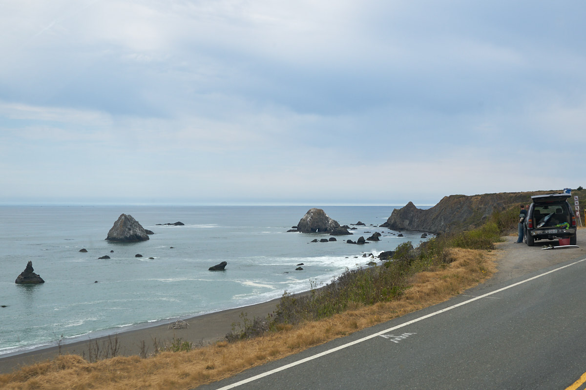
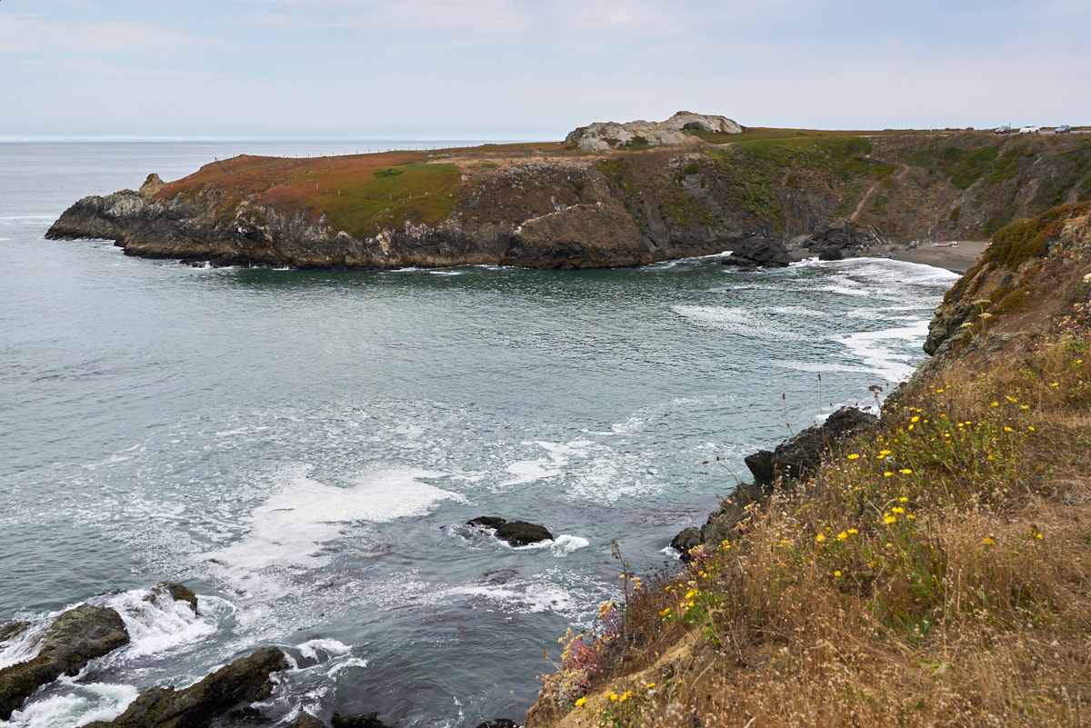
There
were plenty of pullouts that provided striking views of the
coastal outcroppings.
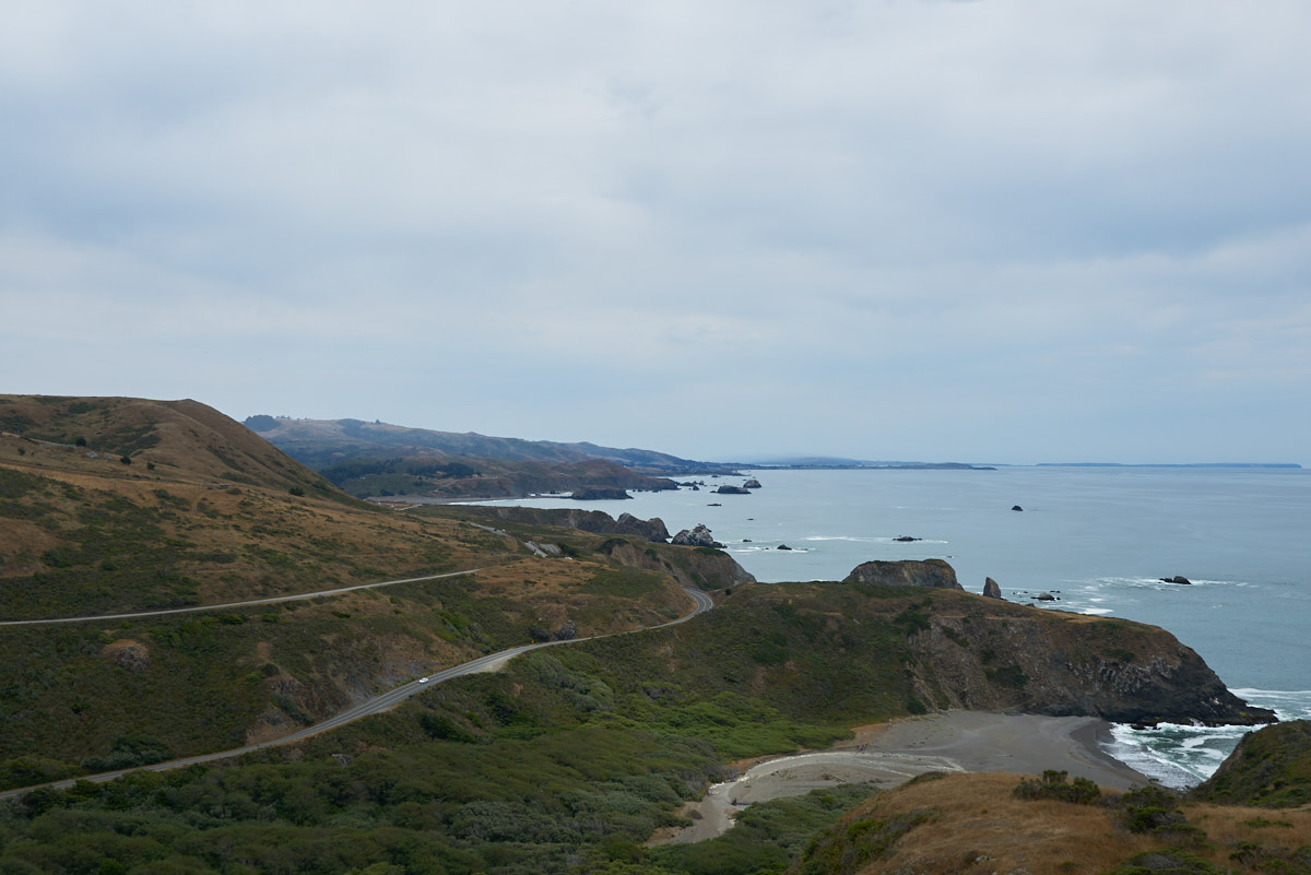
The road
was narrow with many tight turns.
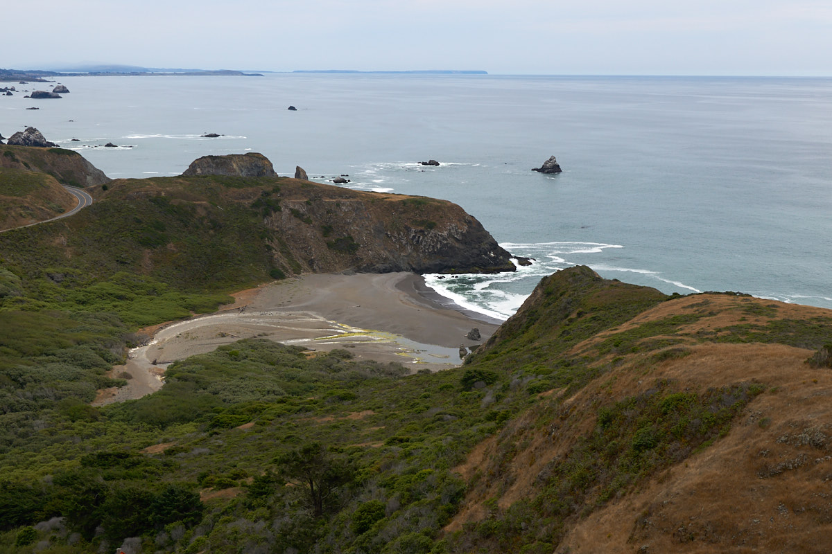
Some of
the inlets had gravel beaches.
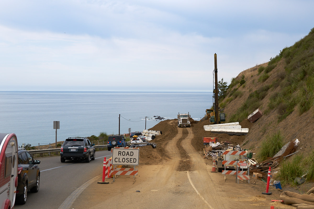
The
heavy winter rains resulted in lots of slumps and landslides
causing delays due to road repairs.
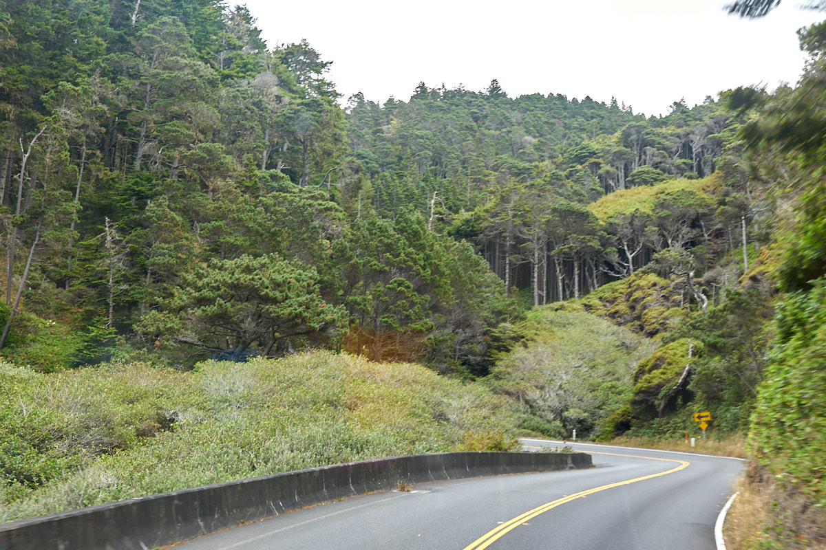
The
forest density got higher the further north we traveled.
Note the
cave/arch in the process of being formed.
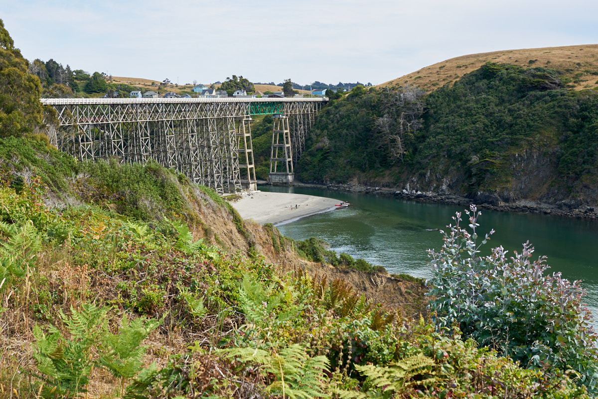
We
finally arrived at the Albion River Inn and got one of the last
rooms available. Our room had a great view of the Albion
River Bridge which is one of the highest all-wooden bridges in
North America.
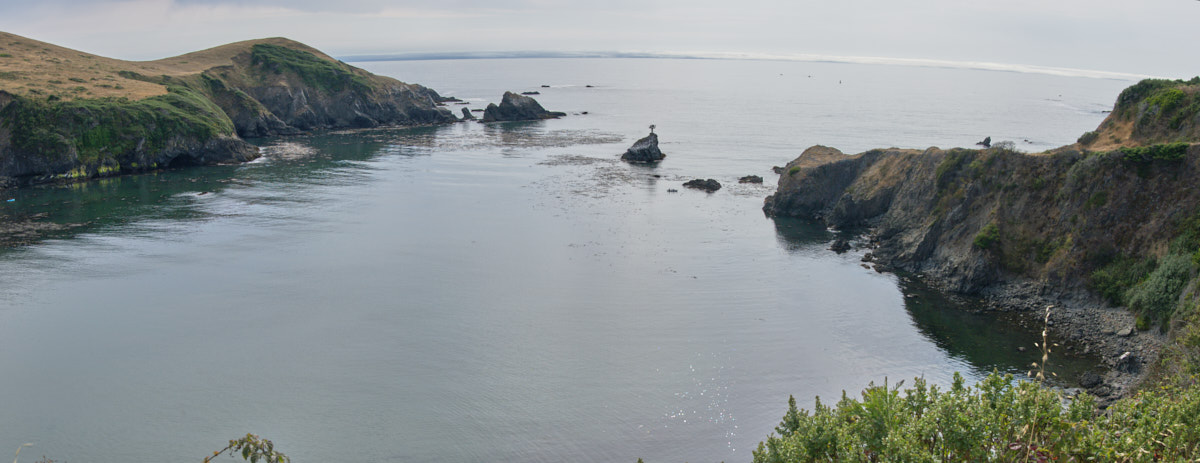
A
stitched panorama from the deck outside our room at the Albion
River Inn.
| Previous Adventure | ||
| Trip Home Page |
Photos and Text Copyright Bill Caid 2017, all rights
reserved.
For your enjoyment only, not for commercial use.