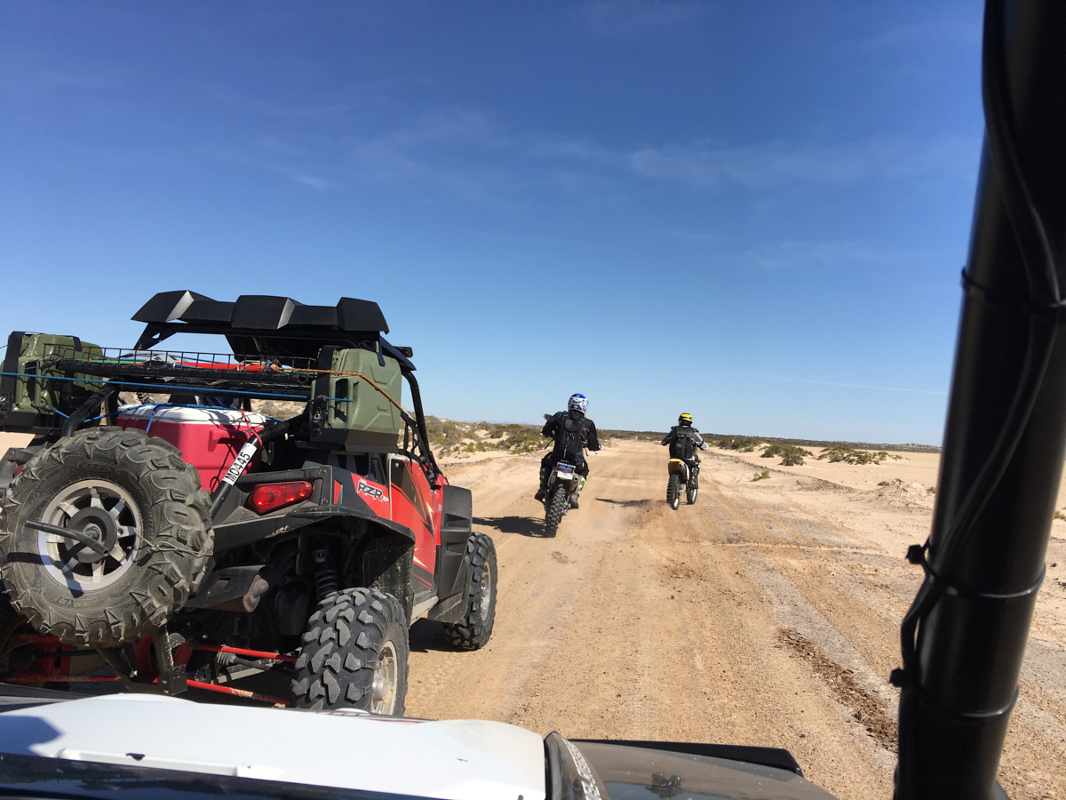
Dan had
the idea that we should take the Rzrs along the beach and around
the salt flats to Puerto Penasco for lunch, then return via the
inverse route. This was an interesting idea, but the
distances were daunting. The map suggested 60 (airline)
miles, but the on-the-trail miles was much longer. Plus,
we suffered a mechanical failure due to the deep, soft sands of
the beach increasing the travel time. We did not reach
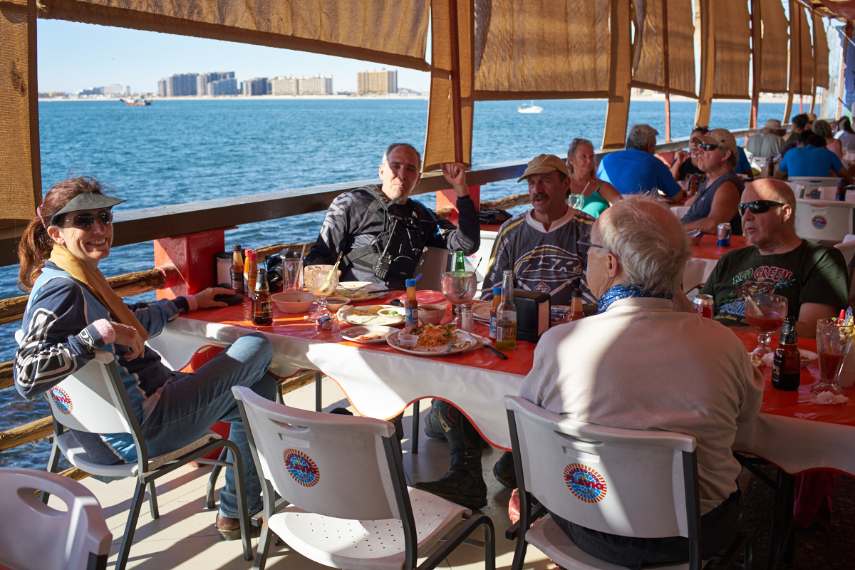
Puerto Penasco (AKA Rocky Point) until around 1400. Given
an hour for lunch, we had a very long trip back to the hotel and
would arrive in the dark unless some magic was performed.
We finally decided to travel a portion of the route on the
highway and then swing south past the salt flats back to the
beach. It was a good thing that we used the fast route as
we arrived at dark anyway and the dim light of sunset made
choosing paths on the beach very challenging.
The photos below are what we saw.
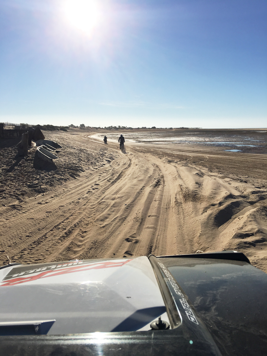
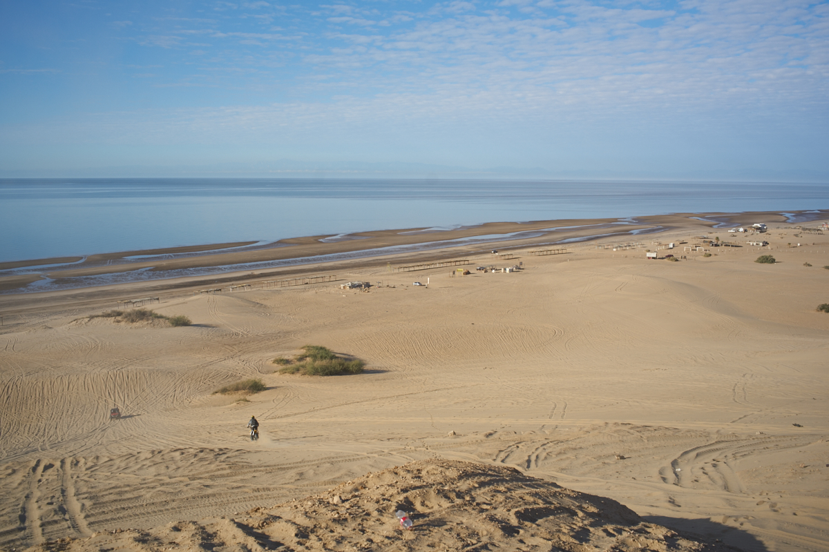
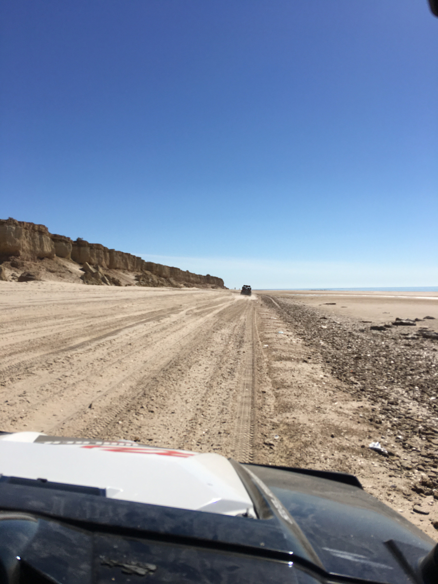
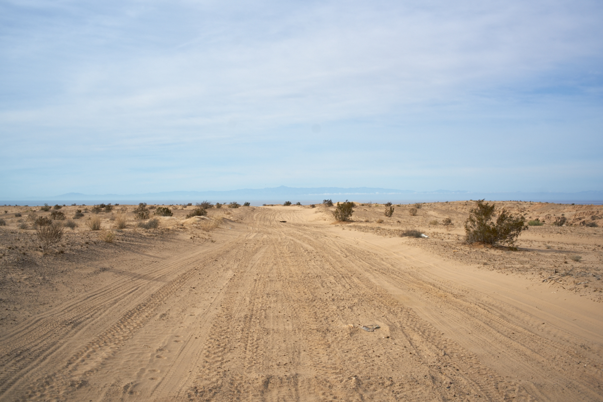
We left
the hotel and headed down the arroyo to the beach and then
turned east. Many of the locals drive on the beach
resulting in ruts in the sand which made for tough going on the
motorcycles. You can see the mud flats clearly in the
photo above; very soft, very mucky, very dangerous.
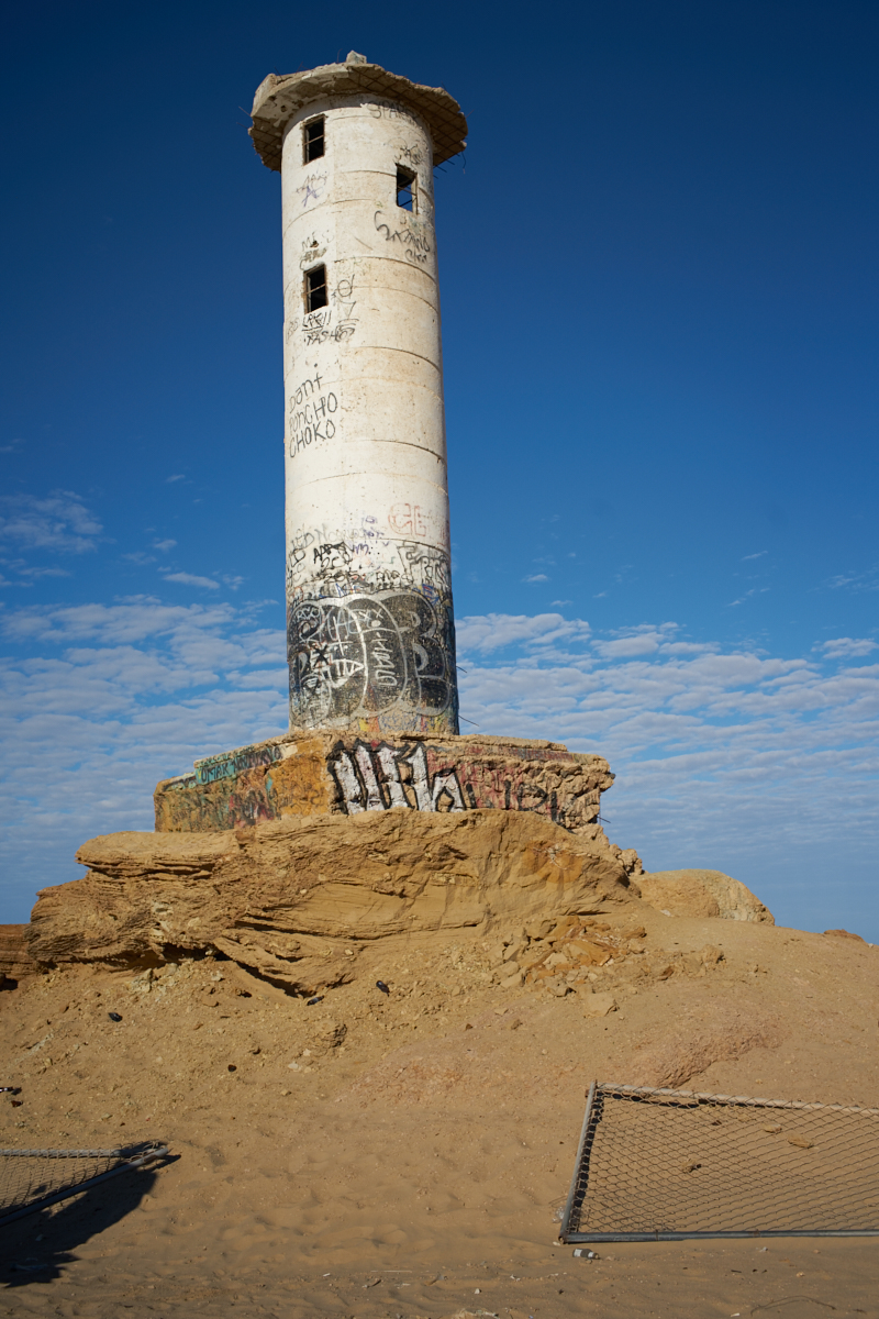
Our
first stop was the lighthouse on the bluffs above El
Golfo. This structure has been decommissioned, is no
longer in use and has been the target for plenty of graffiti.
From the
hill we had a commanding view to the south and west. The
spine of Baja was lost in the marine haze.
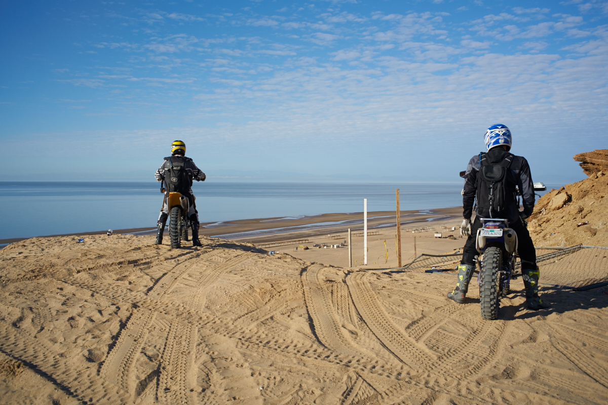
Dan and
Bobby tried to make it up the hill to the lighthouse, but they
were foiled by the loose sand.
From the
top we had a clear view of some of the camping areas near the
beach. These are palapas for rent. Note the mud
flats with the isolated pools of salt water that create
dangerous hazards when driving near the water's edge.
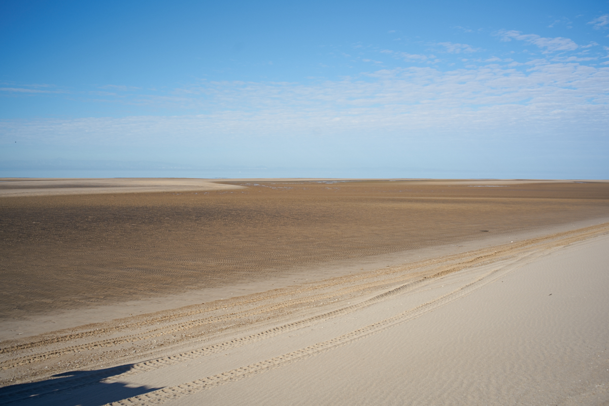
These
mud flats are very soft and difficult, or impossible, to
traverse on foot.
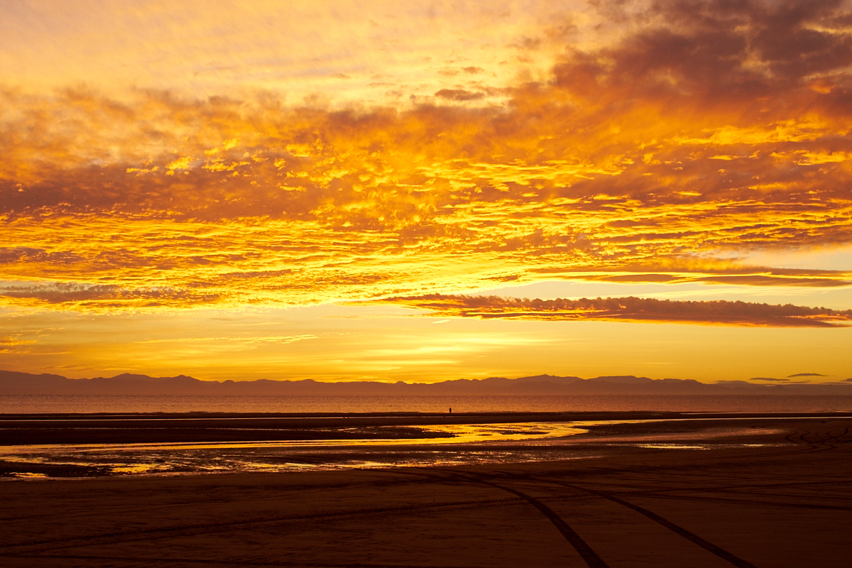
There
are a set of bluffs that parallel the beach that can trap you at
high tide. Inspecting the tide chart before attempting a
beach run is critical.
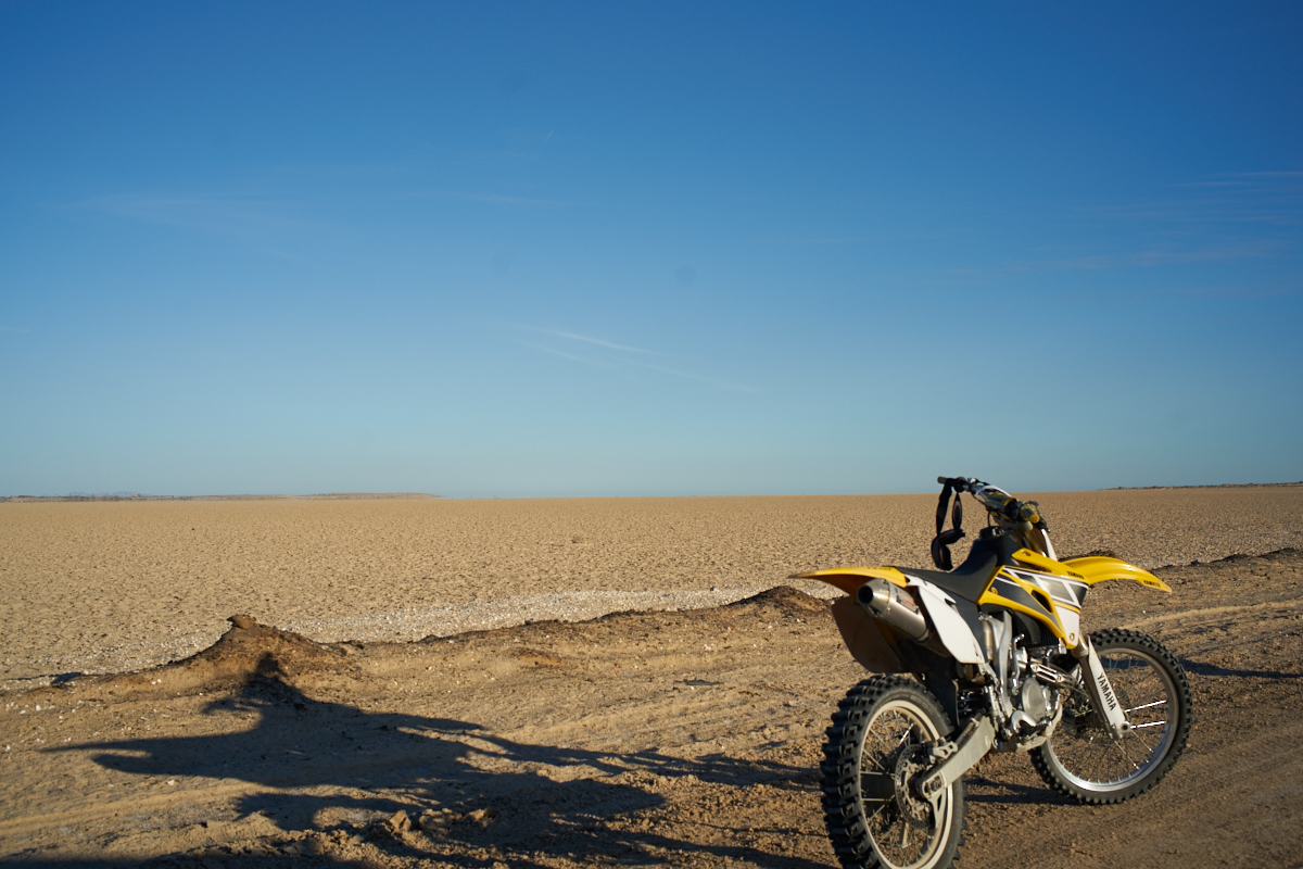
The soft
sand makes using a kickstand on the motorcycle impossible.
So, the standard procedure is to allow the rear tire to dig into
the sand and support the bike.
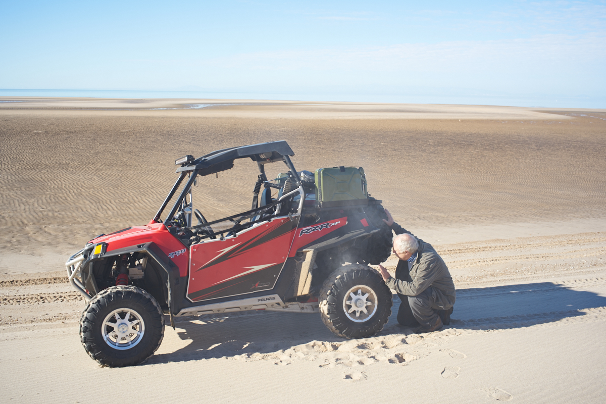
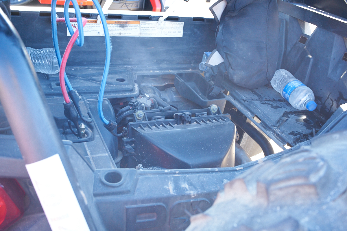
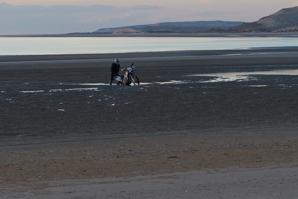
We
removed the rear cargo cover to gain access to the engine
compartment. Note the smoke.
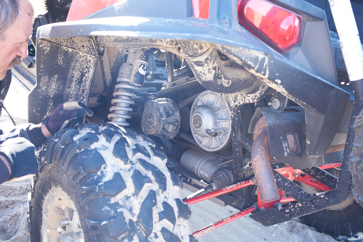
We had
the tools we needed and Kai had replaced these belts before so
the most difficult part of the task was removing the kevlar
fibers from the clutch. We used my Leatherman to cut the
fibers and pick out the debris. The new belt went on
easily but did require several folks to push the vehicle to
allow the belt to seat properly.
Kathleen
took this photo with her iPhone while we were rolling (thus the
blur) and it shows the slope on the beach. At very high
tide, the water is up to the cliffs at the left of the photo
above.
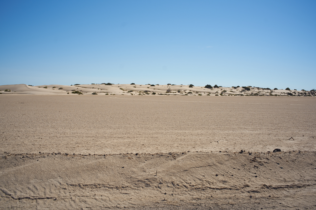
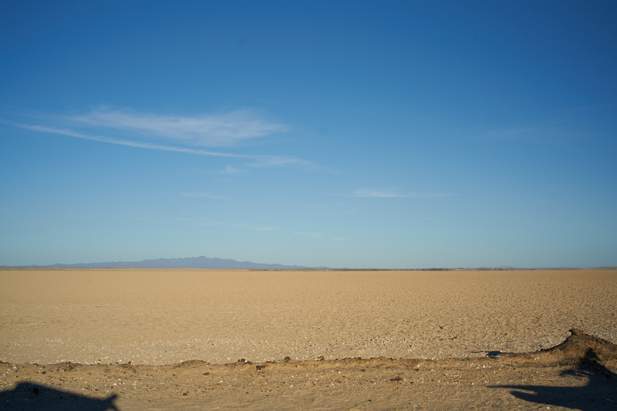
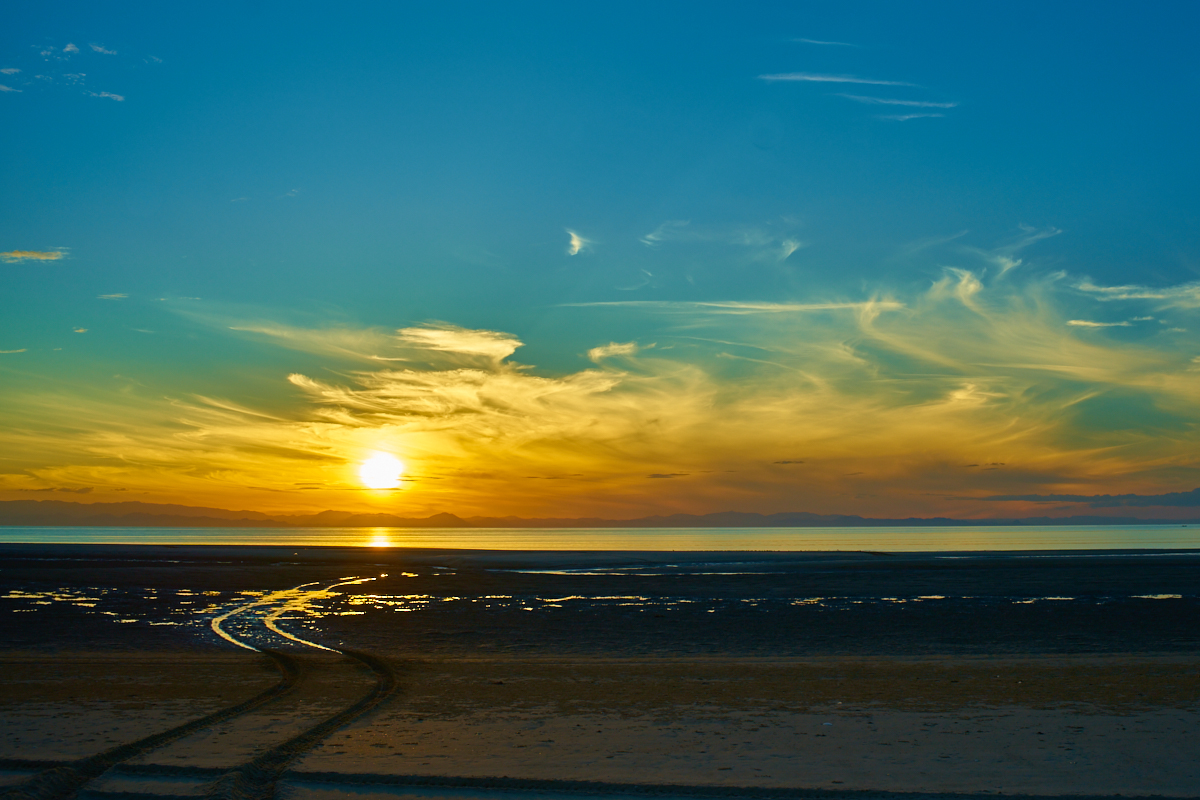
After
perhaps 20 miles on the beach, we turned inland toward the salt
flats. These areas are above the average high tide but
below the maximum high tide so they periodically get flooded
with salt water. The relentless sun dries the seawater
resulting in hard, white salt flats. But beware.
Some of these areas are only hard on the surface and if you
break through, it is bottomless muck that is impossible to
traverse.
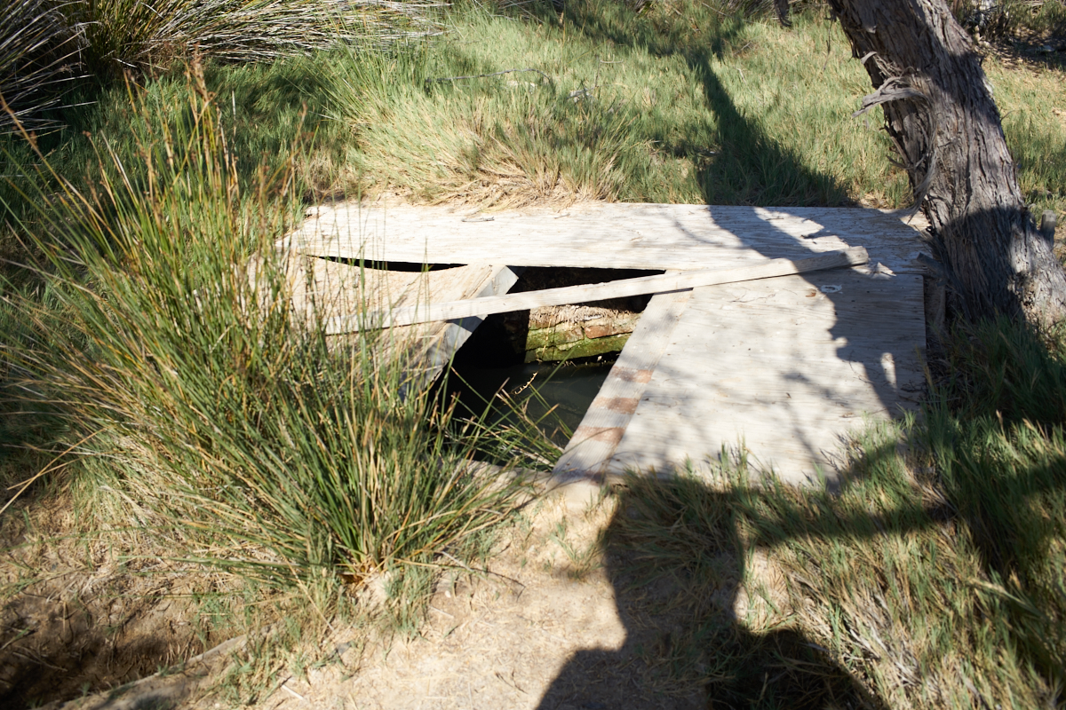
"Gee
Bill, why did you take a photo of a hole with water in
it?". This spring is one of the only sources of non-sea
water for 50 miles in any direction. The water is salty,
but potable and supports a number of nearby trees, bushes and
grass.
Heading
north from the spring, we followed the salt flats until we found
the path that would allow us to continue east.
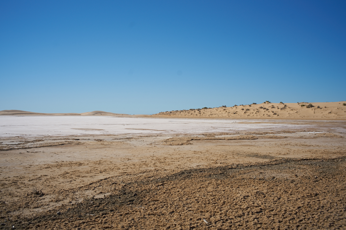
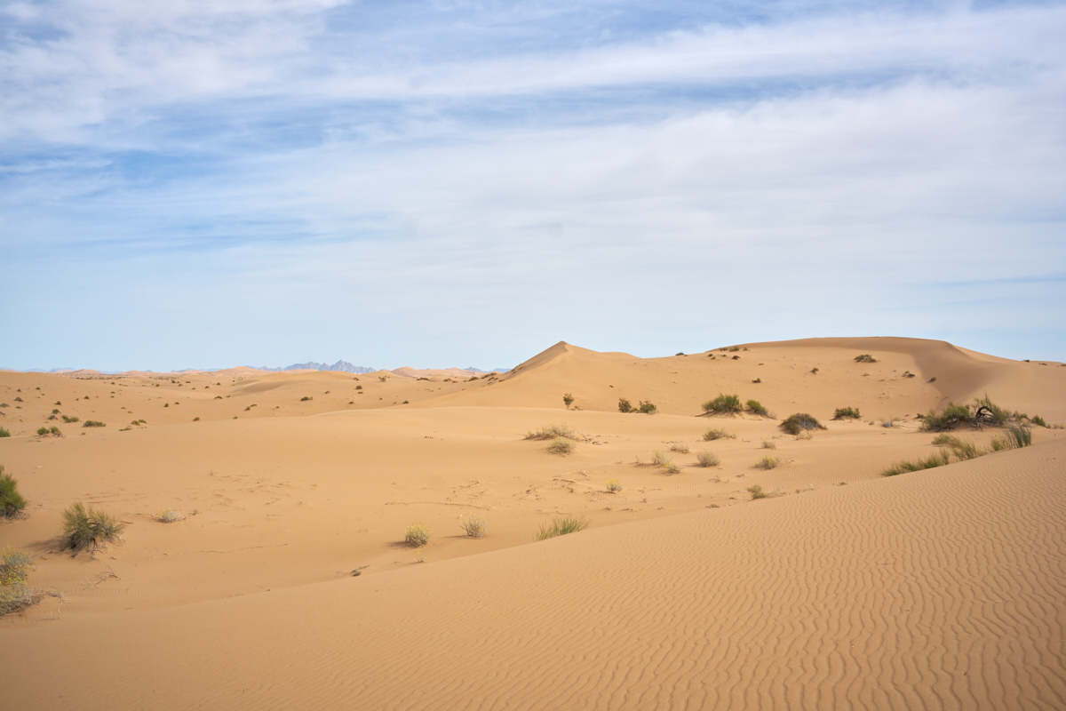
These
flats look hard and dry but they are not. The dirt is silt
and the crust, while appearing dry, is likely not dry
underneath. Travel on these at your own risk because if
you break through the crust, it is bottomless muck underneath.
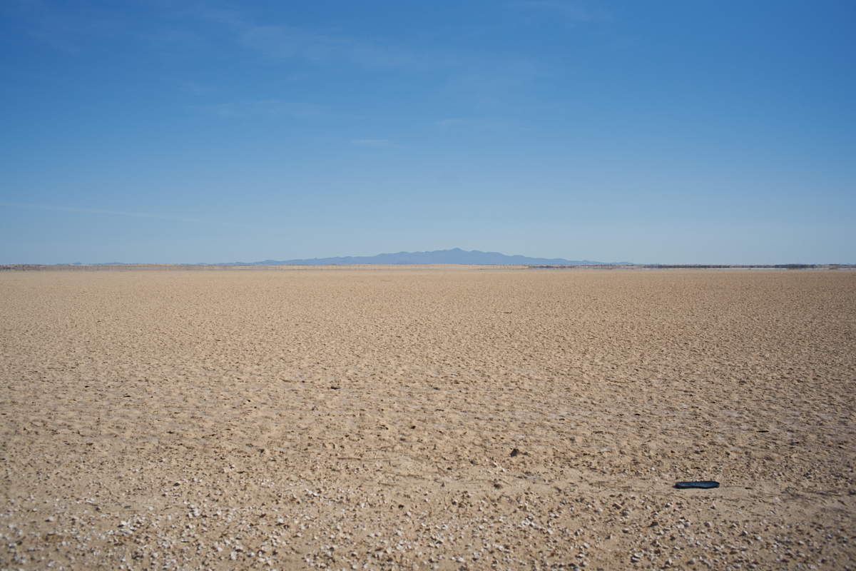
As we
got further north, we got a nice view of El Pinacate to the
east. These are volcanic craters and are the predominate
landmark of the area. We have been to the area before and
the terrain there is very harsh. The salt flats make a
perfect foreground for the foreboding peak in the distance.
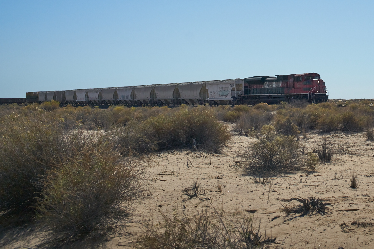
At the
north end of the salt flats, we turned east again. The
trail follows the railroad tracks. Though the tracks are
in low use, we did encounter a train. The engineer was
clearly bored as he laid on the horn for us as he passed.
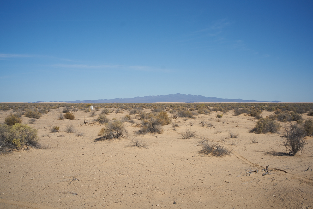
Much
further east, El Pinacate comes into clearer view. The
white object is some kind of section boundary marker. Also
visible is a dune field to the west of the peak. We have
traversed those dunes in the Unimogs in a previous trip.
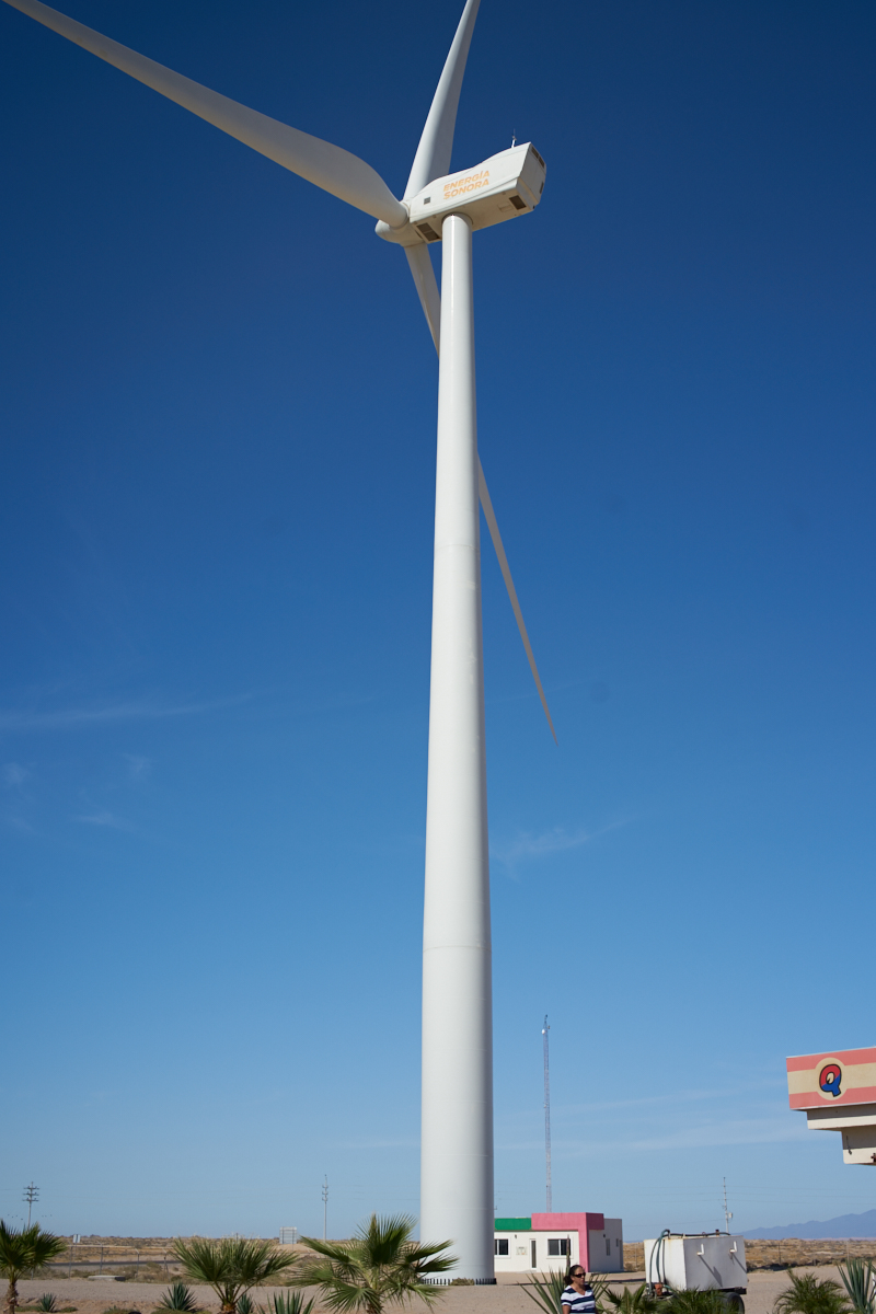
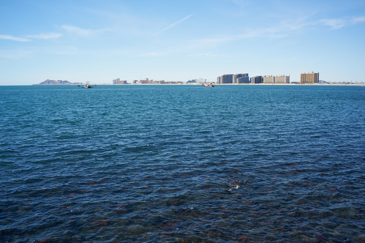
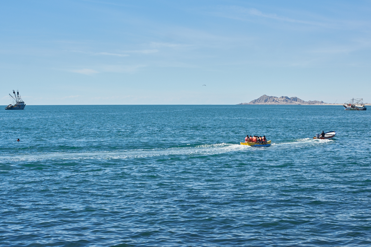
When we
arrived in Puerto Penasco the bikes were running on fumes so we
immediately pulled into the first Pemex we saw. This area
has grown significantly since the last time we were here.
This wind turbine is new.
| Previous Adventure | ||
| Trip Home Page |
Photos and Text Copyright Bill Caid 2016, all rights
reserved.
For your enjoyment only, not for commercial use.