The photos below are what we saw.
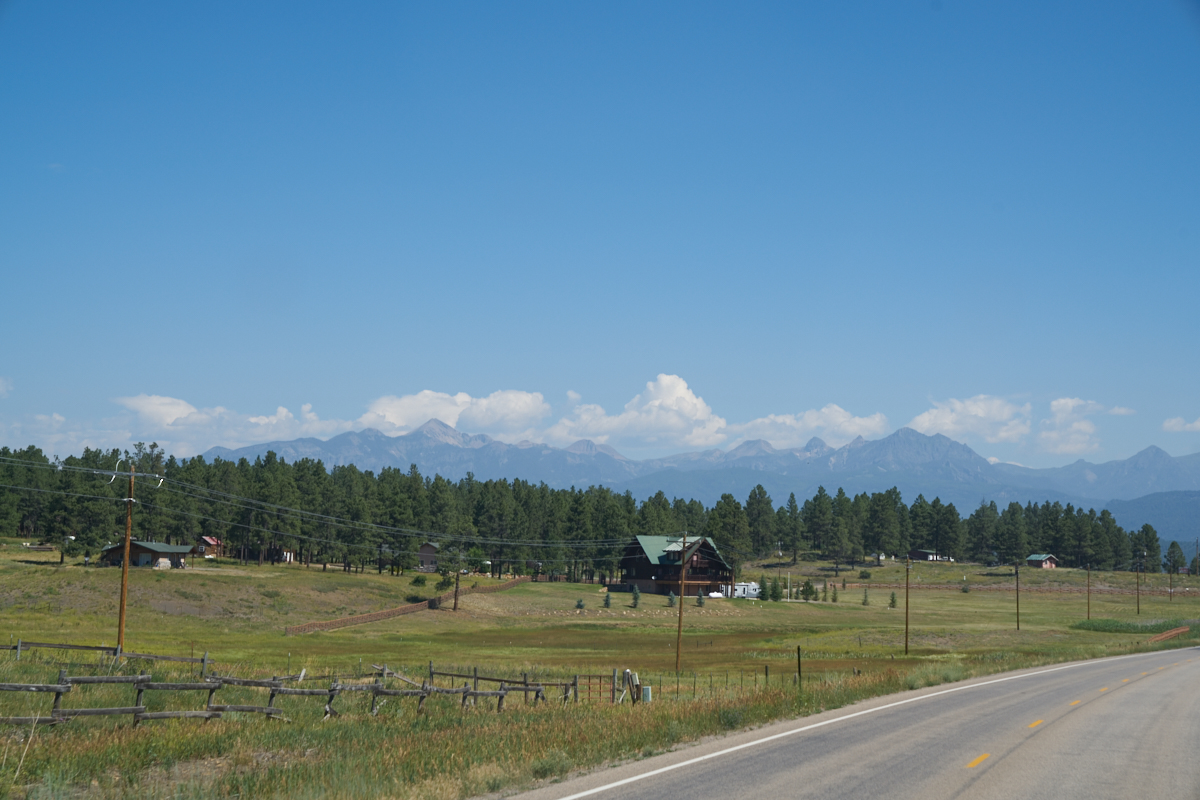
Traveling to the east
of Pagosa Springs, we got a nice view of the distant San Juan
mountains.
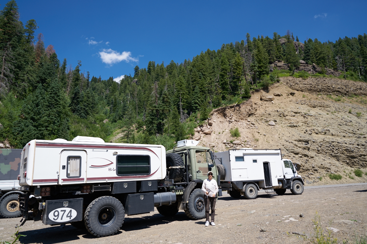
At the
crest of Wolf Creek Pass we stopped for a photo opportunity.
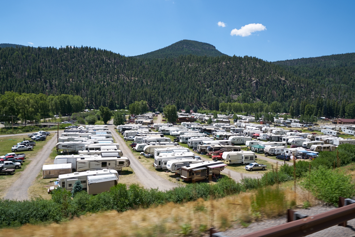
Ah,
summer in Colorado. Near South Fork, we spotted this RV park
next to the highway and it was totally full with visitors.
In some folk's minds, this is camping. In my mind, it is a
parking lot next to a road.
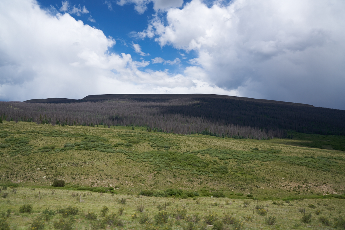
We
turned north at South Fork toward Creede and saw big areas of
dead trees due to the bark beetles.
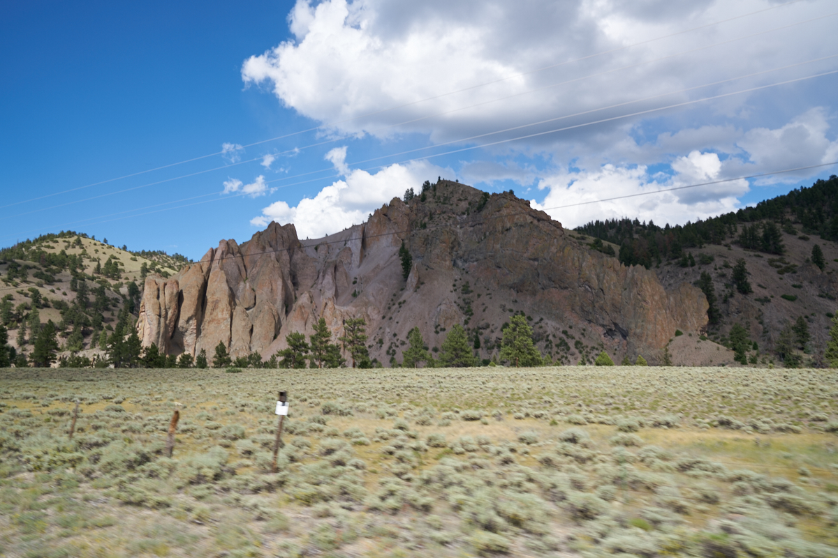
This
rock formation appeared to be volcanic in origin, but we did not
stop to check.
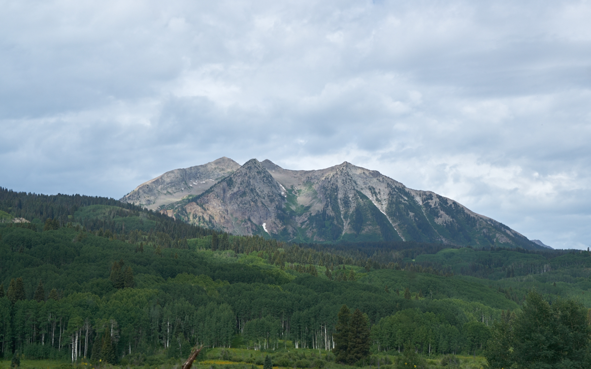
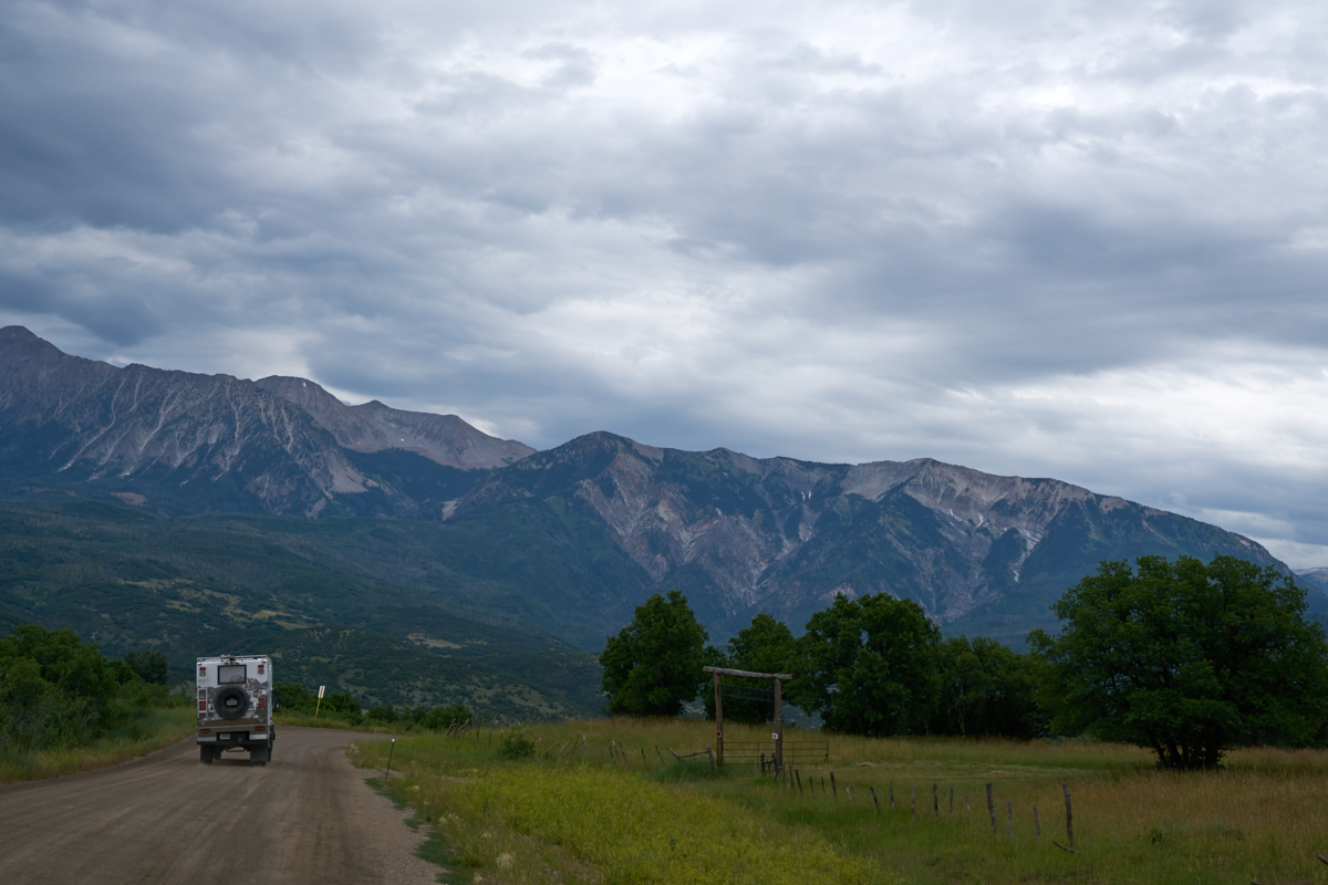
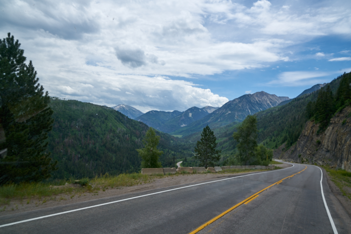
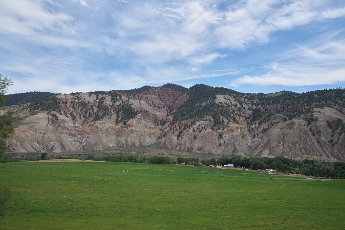
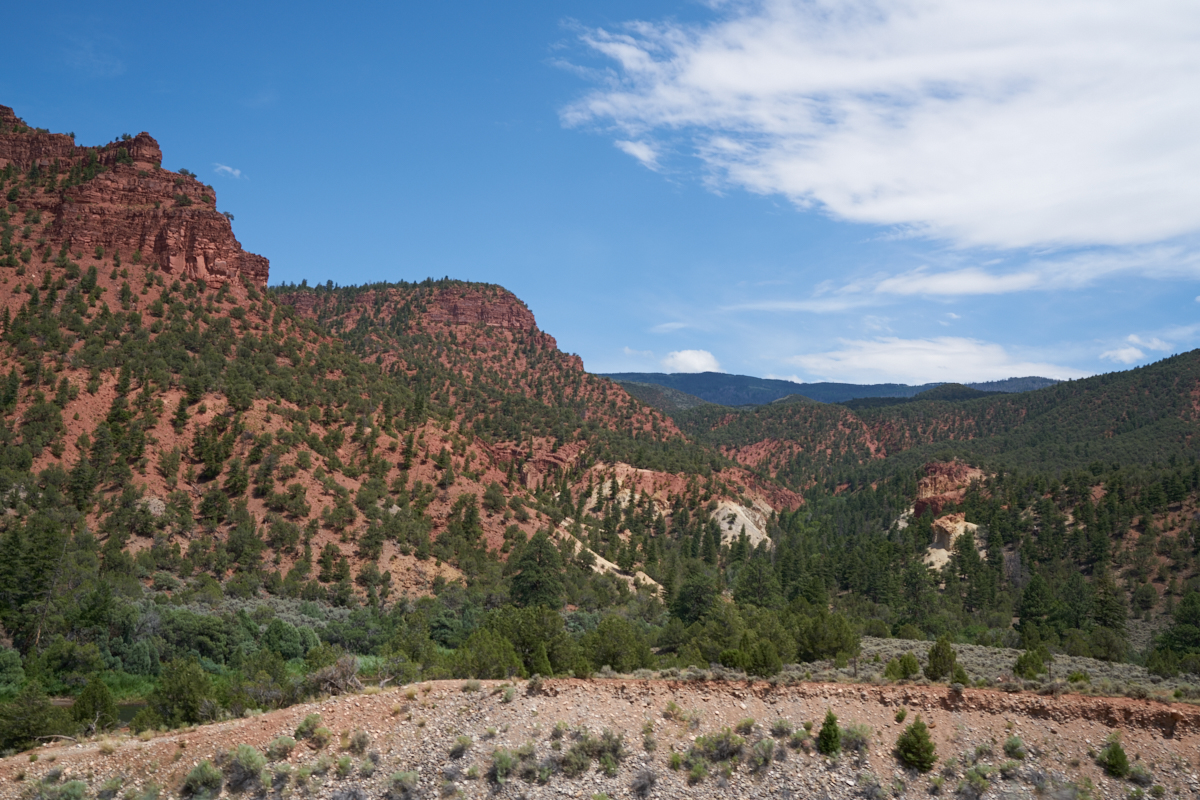
On the
route from Crested Butte to Paonia we could see large peaks that
still had small amounts of snow in shaded areas.

The path
to Paonia had great scenery.
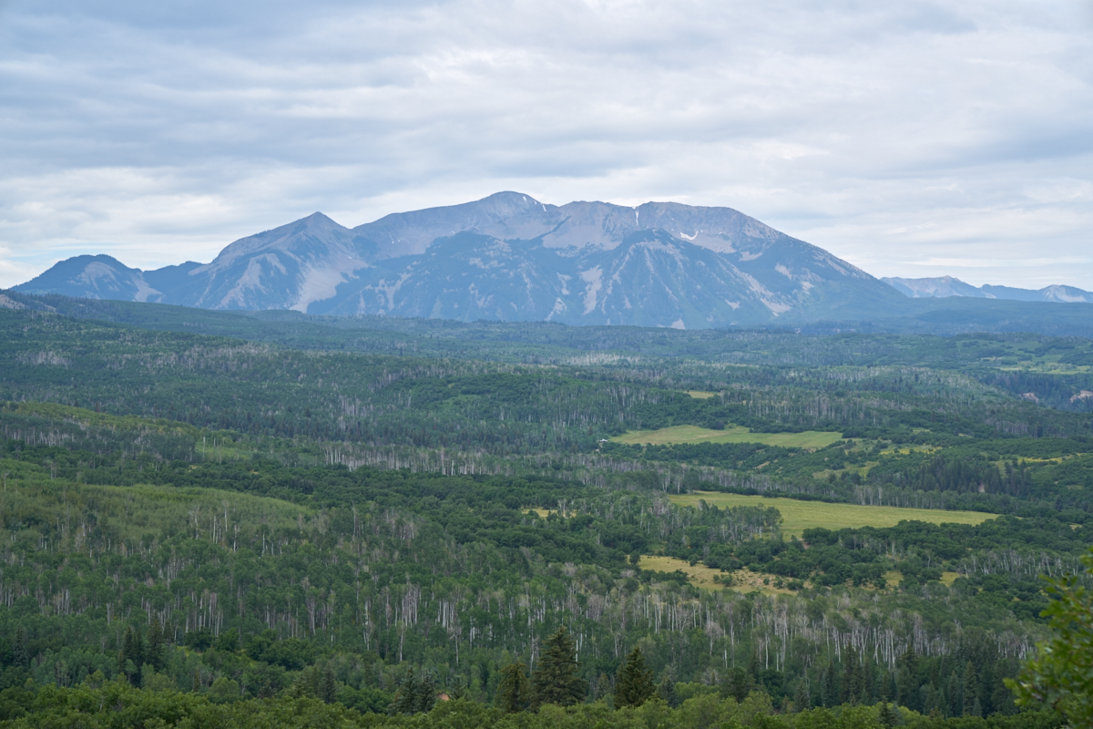
An
exposed turn gave us a great view of the peaks to the south
across wide expanses of aspen forests.
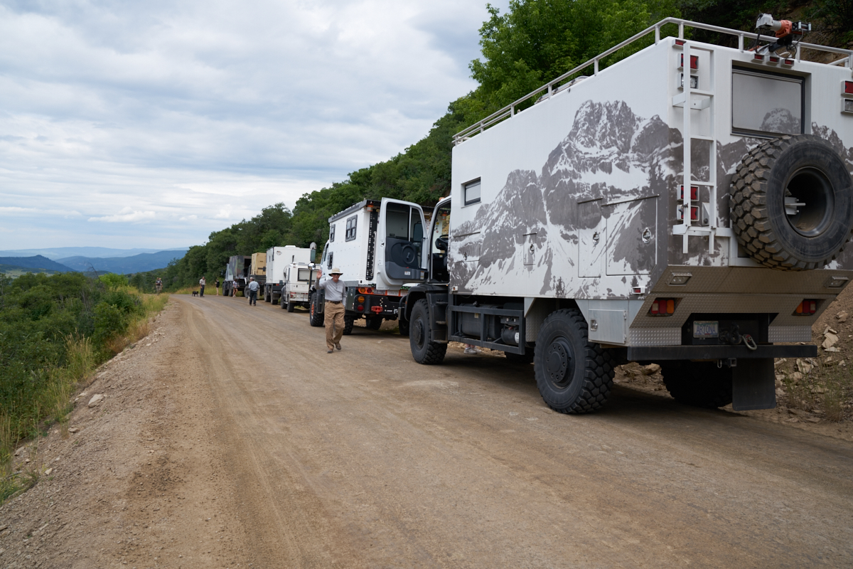
A bio-stop gave a photo op.
Continuing
west from Crested Butte, the road came closer to the peaks.
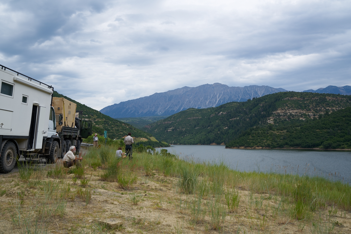
We did a
lunch stop at Paonia Reservoir.
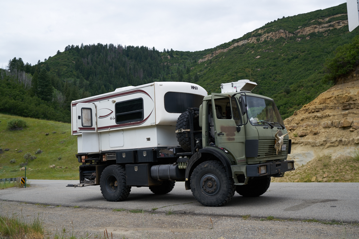
The yak
skull on the front adds another dimension of oddness to an
otherwise odd truck. That said, Thor has performed well on
this trip.
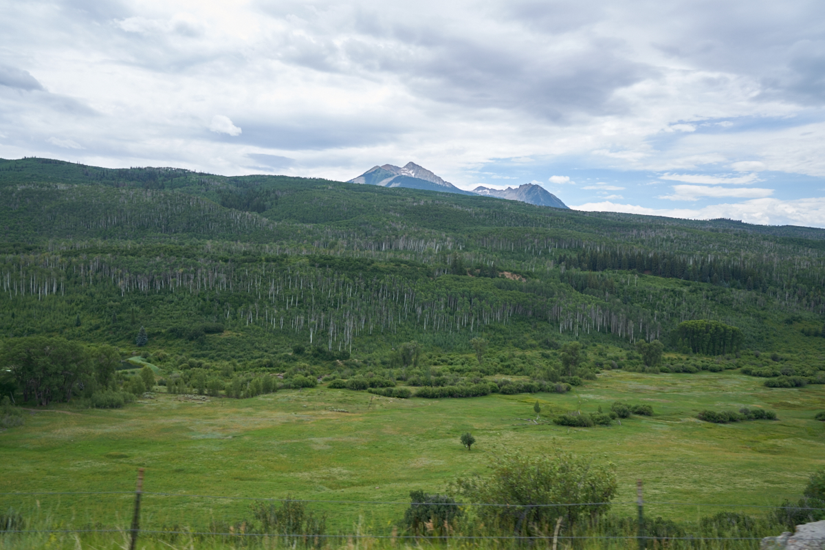
Our
travel path took us over McClure Pass and provide views of the
aspen forests.
McClure pass was quite steep causing us to slow to a crawl due to the steep grades. The downside of the pass allowed us to see some of the peaks near Marble, CO.
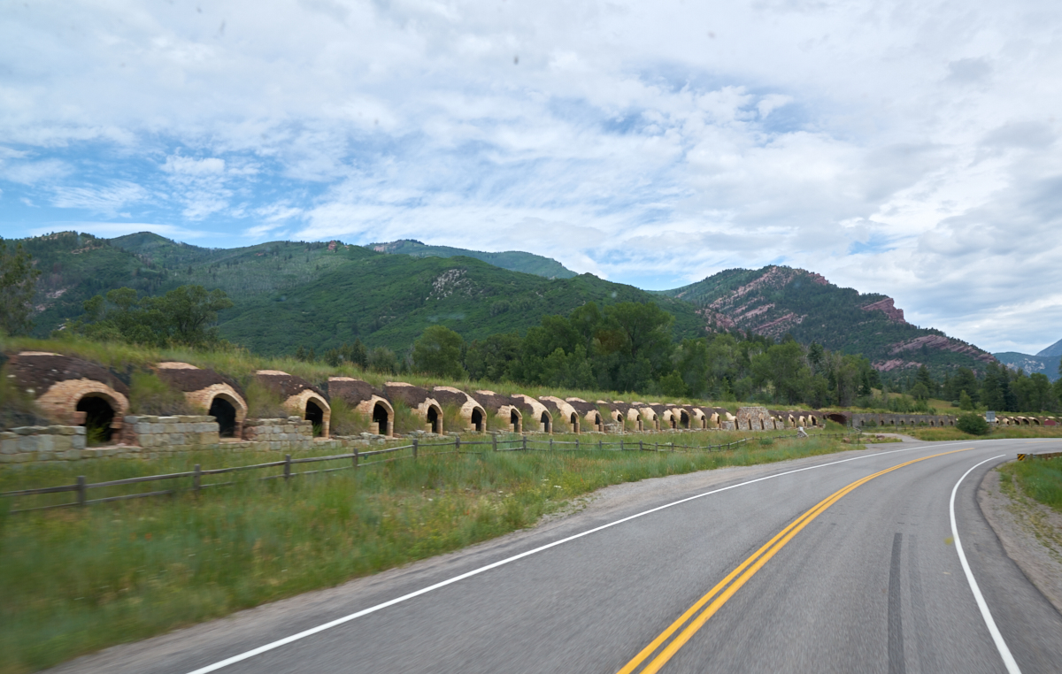
Further
on the downgrade toward Carbondale, we spotted these kilns which
were used for making coke or charcoal.
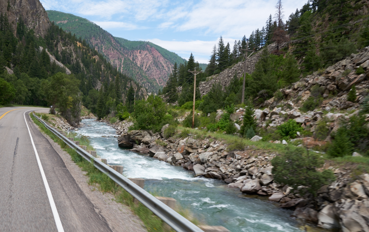
The road
followed the creek which had many areas of whitewater.
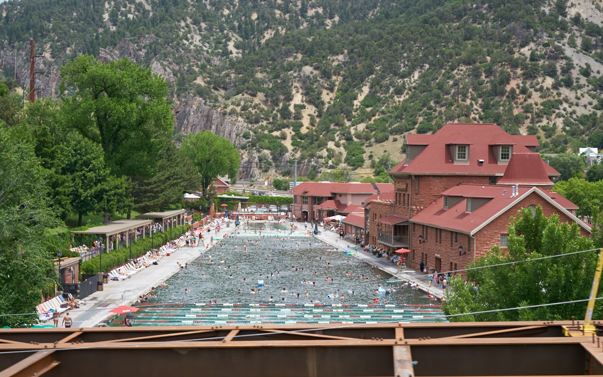
We
finally got to Glenwood Springs and from the overpass we got a
view into one of the many resort areas that use the hot springs
water. The girders are part of the highway construction
currently in progress.
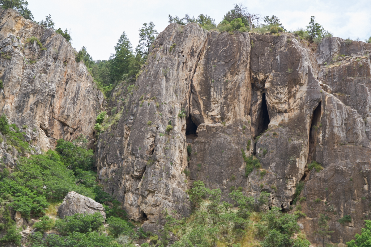
We
turned east on I-70 and headed up Glenwood Canyon and spotted
these caves in the nearby cliffs.
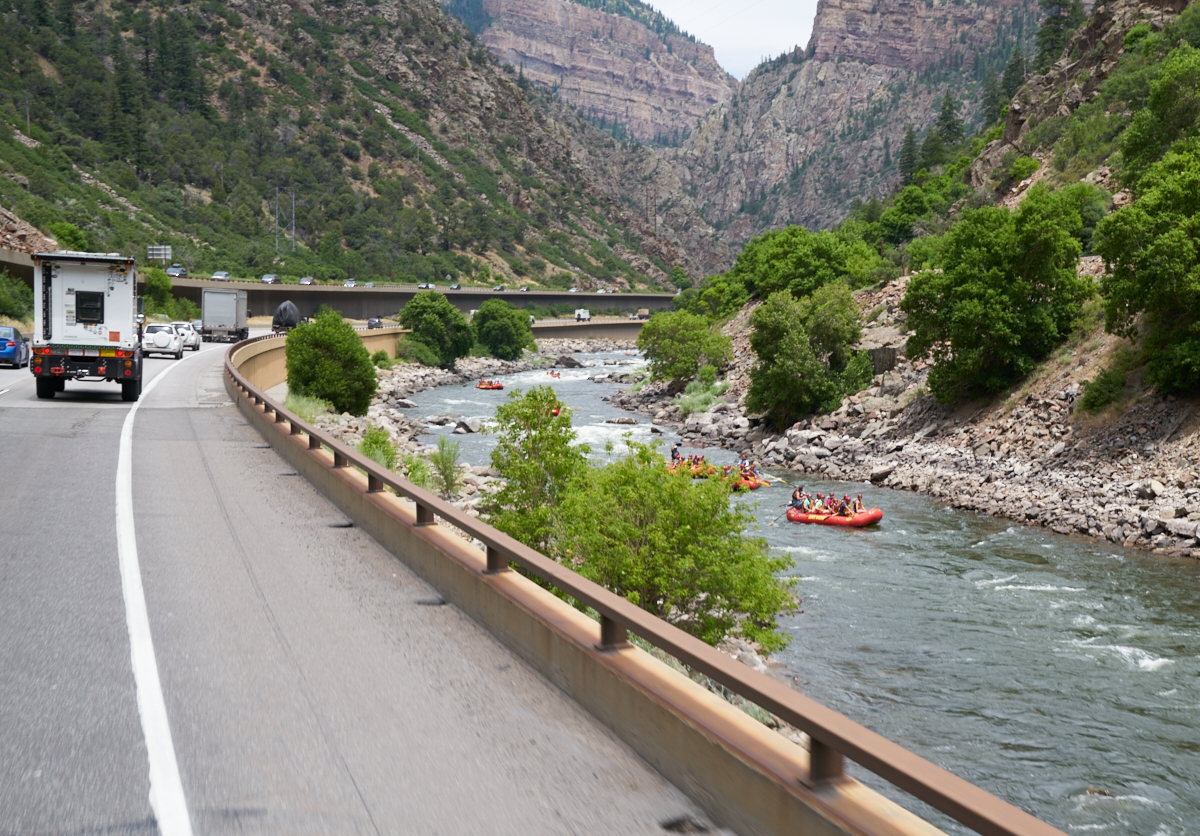
I-70
travels along the Colorado River in Glenwood Canyon. This
was a popular area for rafting.
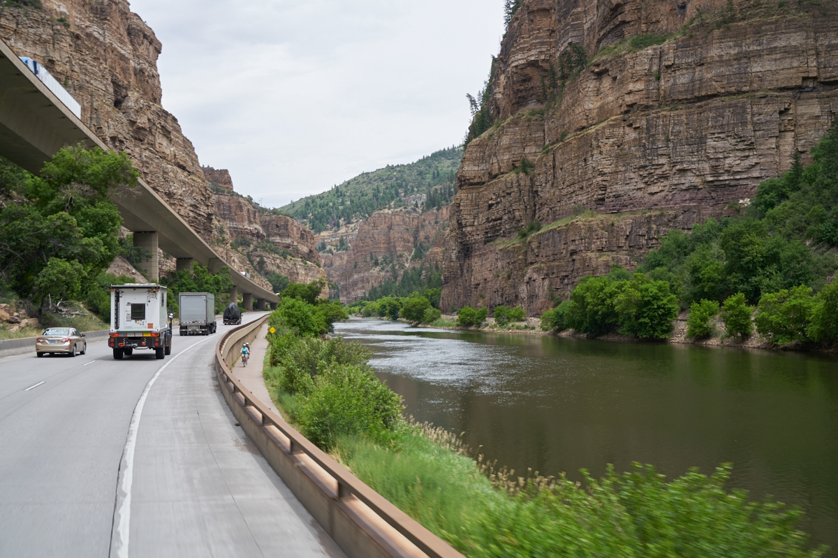
Further
up the canyon, the river became placid but the canyon became
narrow requiring stacking the highway lanes to provide
sufficient space. There were 3 tiers: eastbound, westbound
and the concrete bike path below.
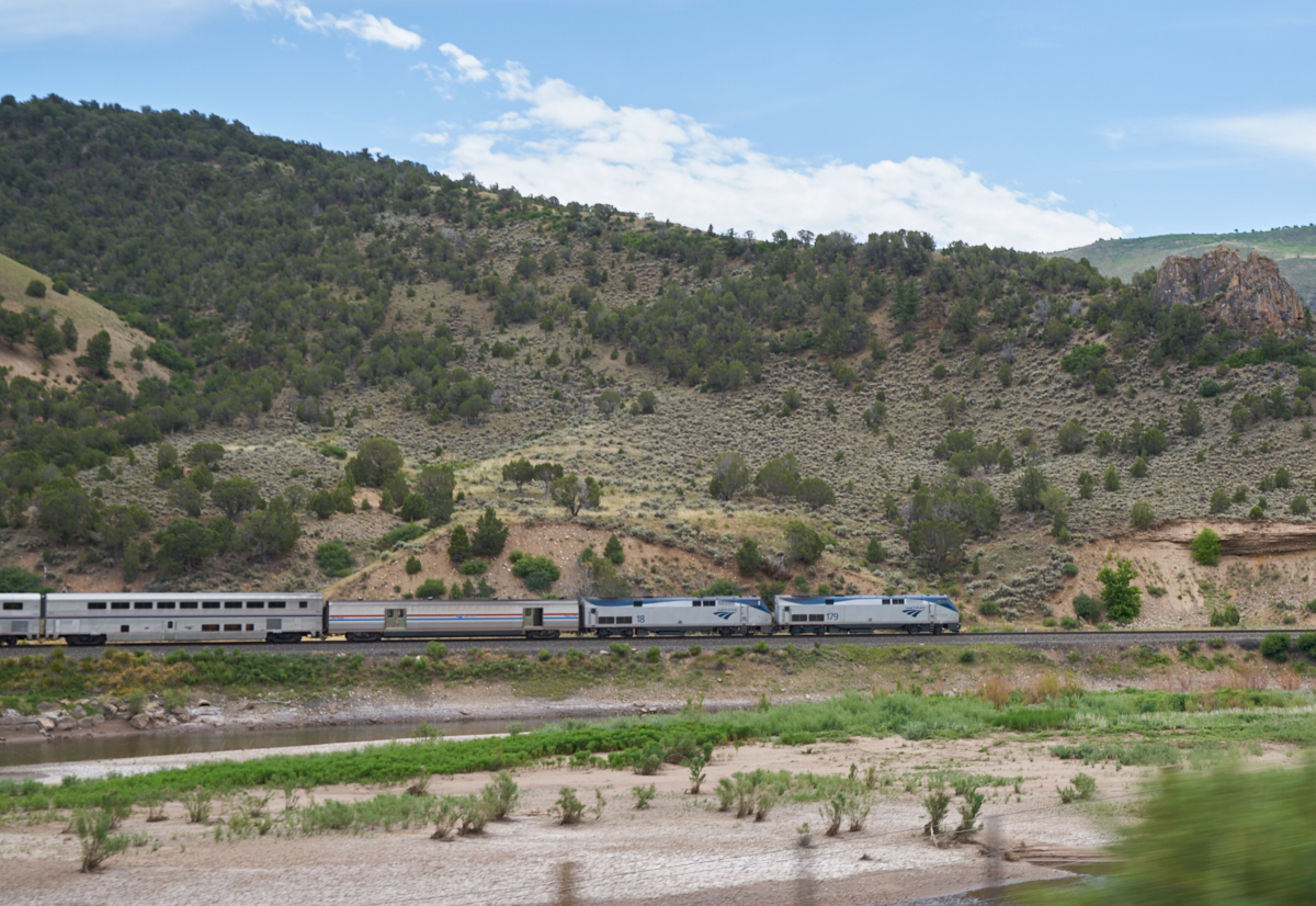
Near
Dotsero, Kathleen spotted the Amtrack westbound on the BNSF
tracks.
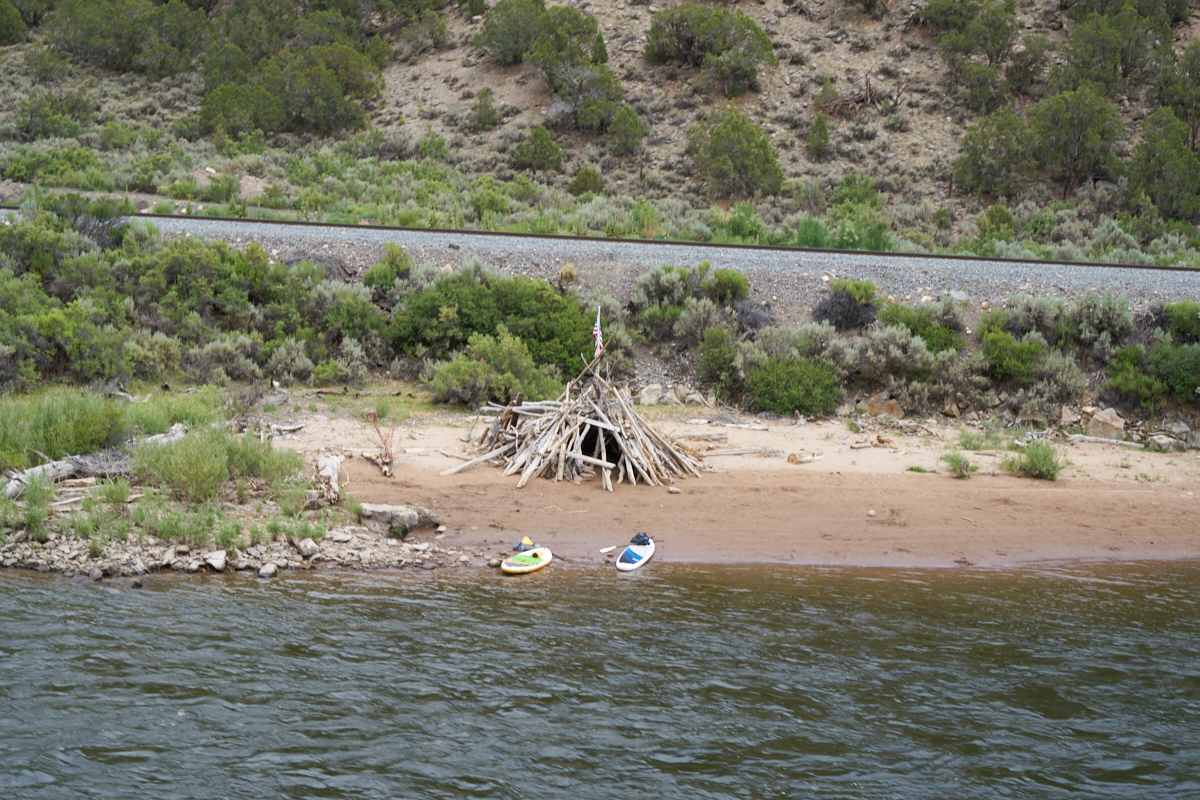
We turned
off the interstate at Dotsero and followed the Colorado River
and in a remote area we spotted this ad-hoc dwelling being used
by some paddle boarders.
The colors
in the canyon walls along the river were very vivid.
There
were nice outcroppings of brightly colored rock.
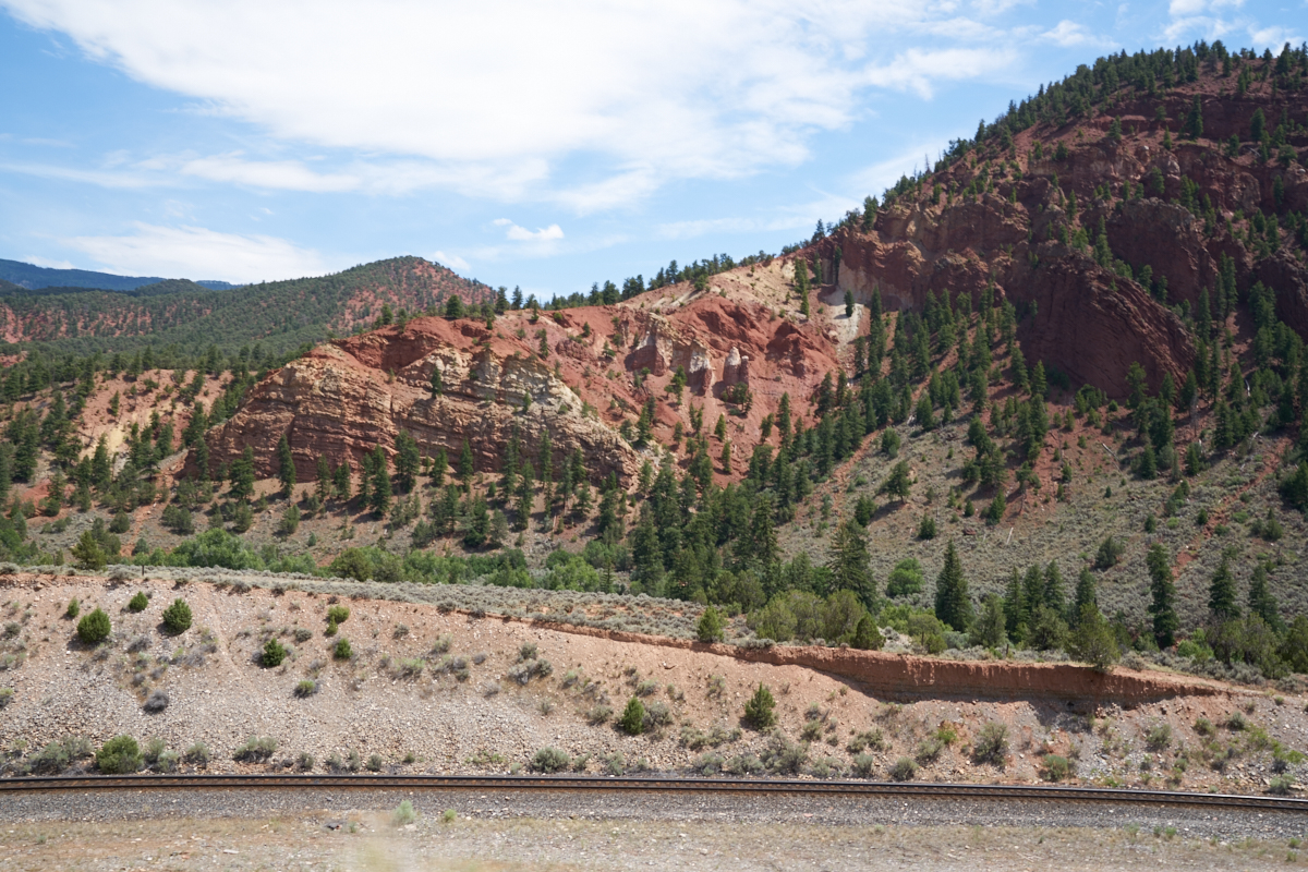
Further
up the canyon, red sandstone walls became the predominant
feature.
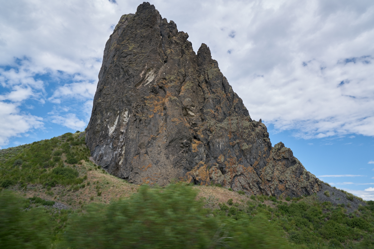
We
turned north toward Steamboat Springs and near Yampa we passed
this volcanic plug the locals call "Finger Rock".
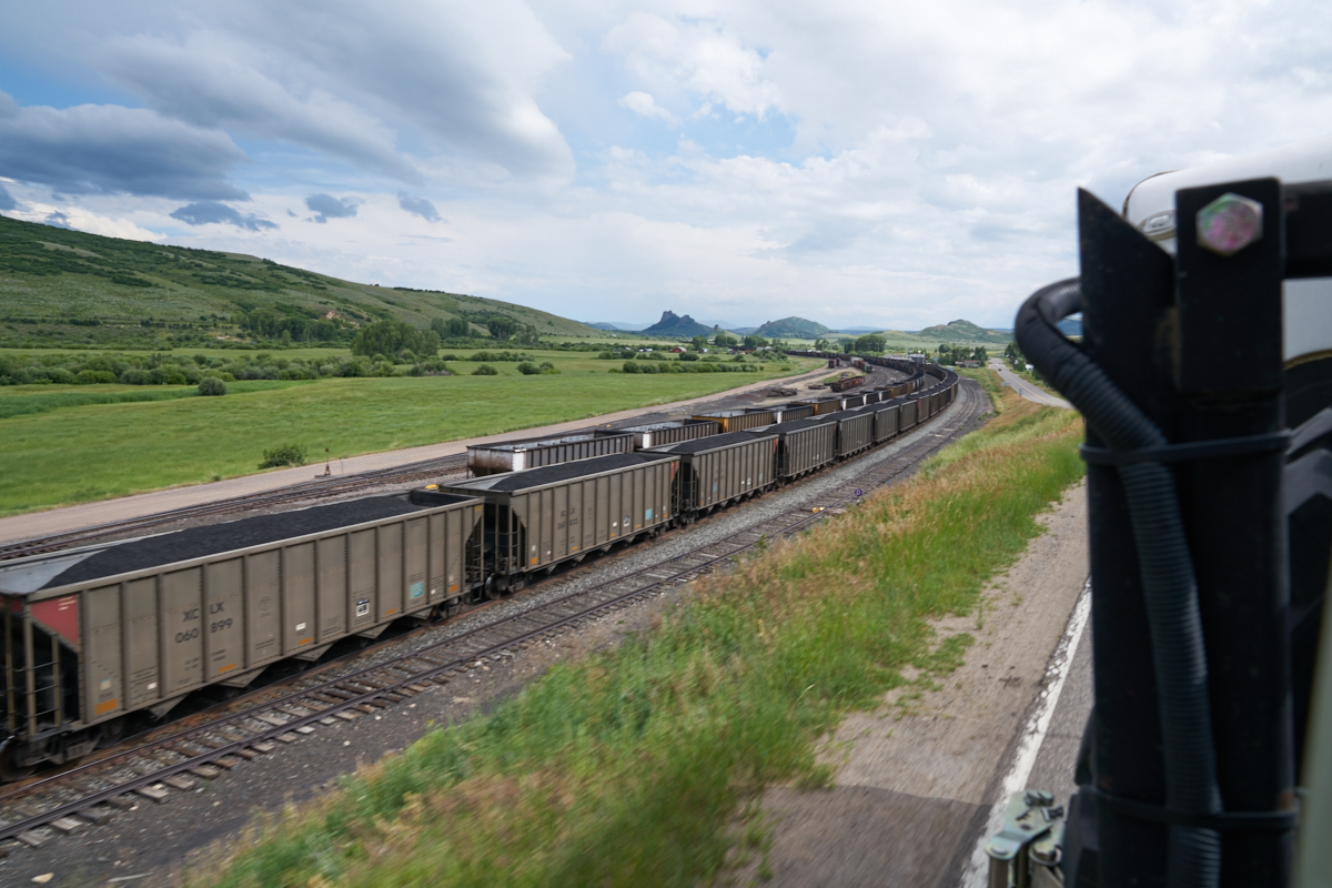
Between
Yampa and Steamboat Springs there were many coal mines.
The railroad provided a mechanism for getting the coal to
market.
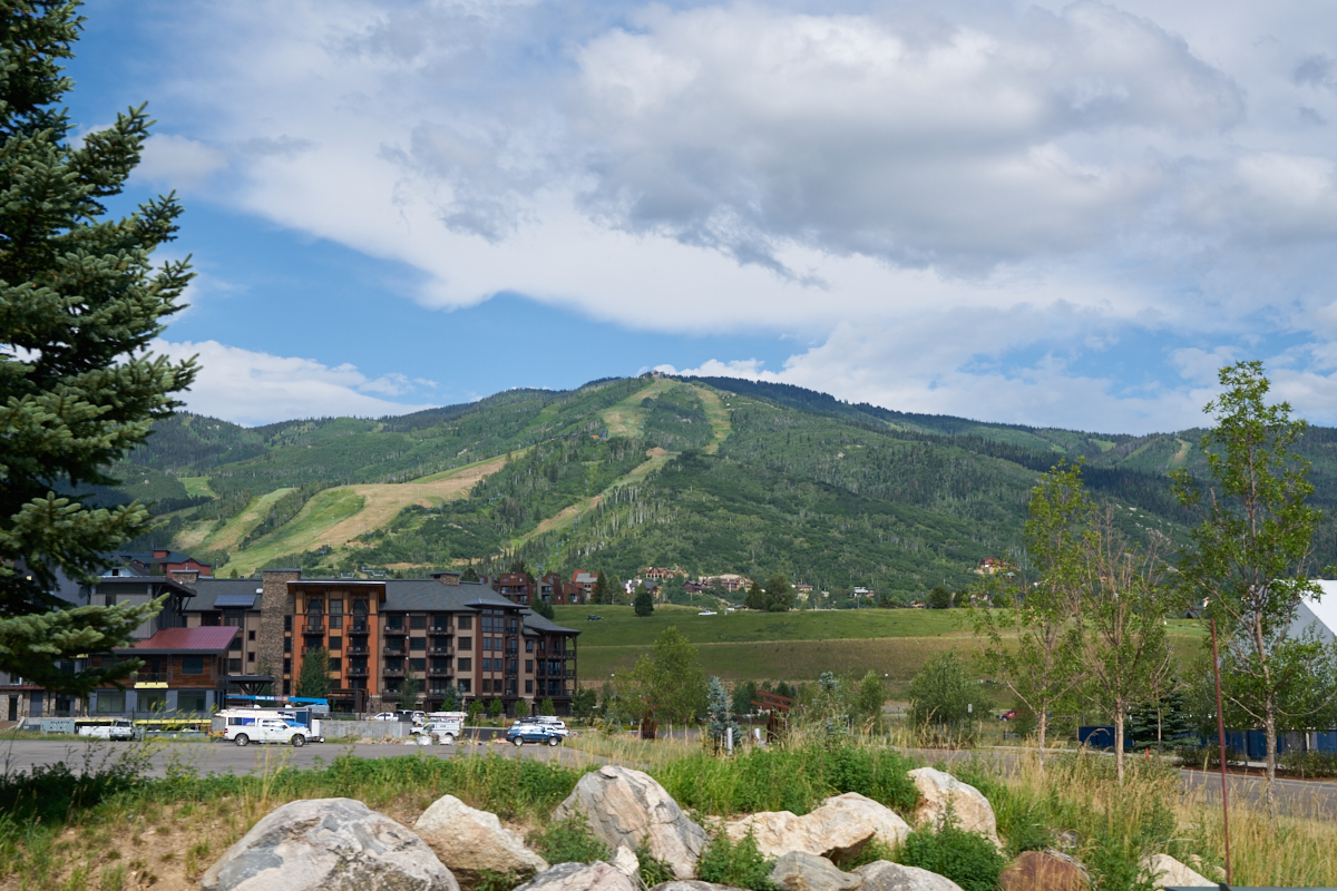
We finally
got to Steamboat Springs and the place was a madhouse.
Tons of tourists (ourselves included) clogged the roads.
As we were navigating through town to a re-supply at the local
Walmart, we could see the ski area on the mountain to the east
of town. After our resupply, we headed north toward the
state park at Columbine.
| Previous Adventure | ||
| Trip Home Page |
Photos and Text Copyright Bill Caid 2016, all rights
reserved.
For your enjoyment only, not for commercial use.