The photos below are what we saw.
These
formations are called "Monitor and Merrimac".
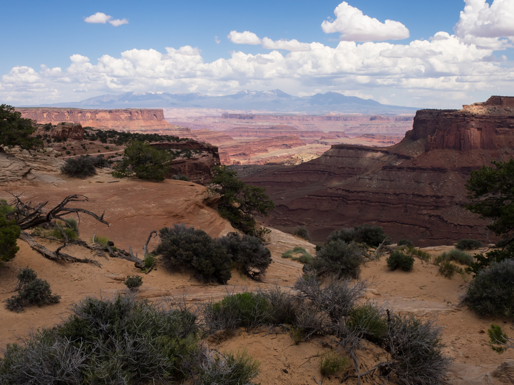
A
multi-shot panorama stitched together with PTGUI Pro.
Click on image to see full size image. The air was
somewhat hazy and looking south into the sun is
problematic. Technical issues notwithstanding, the La Sal
mountains are visible on the horizon on the far left and still have snow on them.
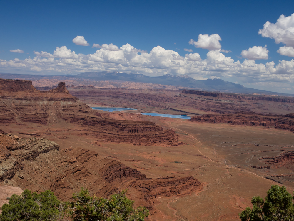
The evaporation ponds for the potash mine are visible below the
La Sal range. The Abajo Range is visible on the horizon in
the center of the photo and both the Colorado River and the
White Rim trail are visible in various portions of the
foreground.
The La
Sal mountains and the potash evaporation ponds. Note the
anticline uplift in the left-center of the photo. The
curved bedding is due to upheaval.
The
potash mine dissolves the minerals into water and then pumps the
water into the evaporation ponds to recover the minerals.
Cobalt coloring is added to increase heat absorption to speed
evaporation.
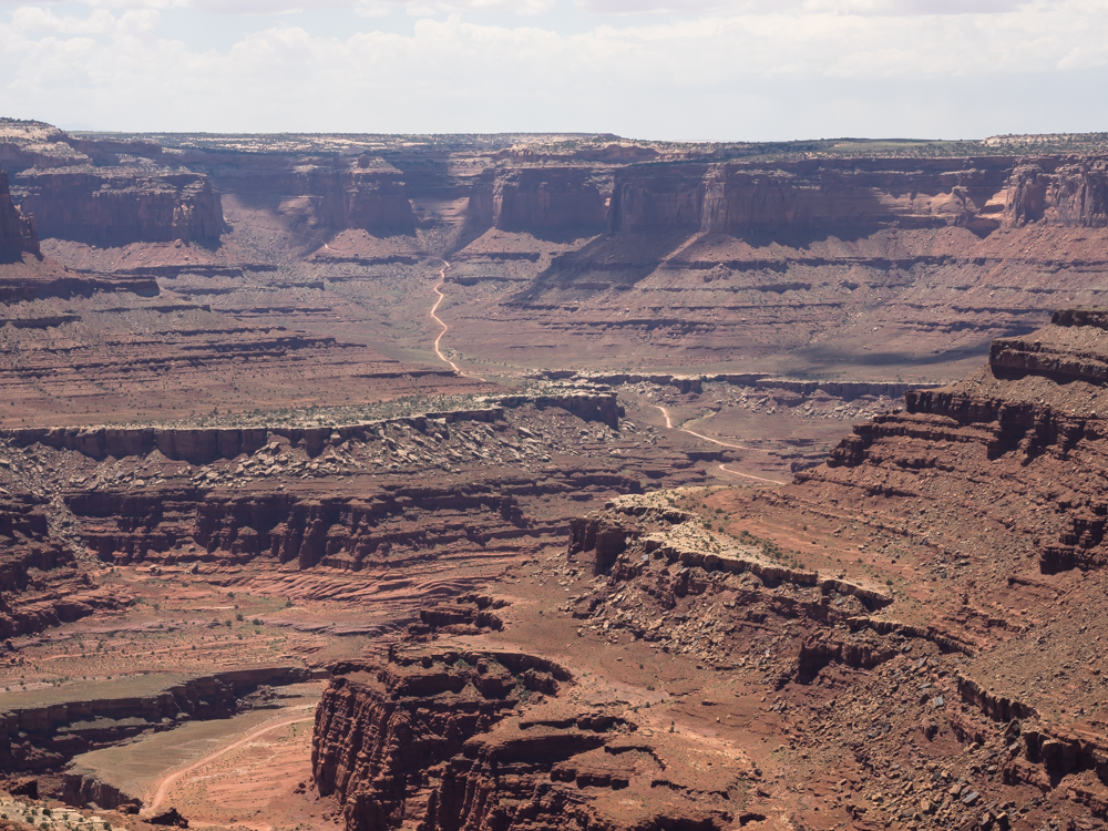
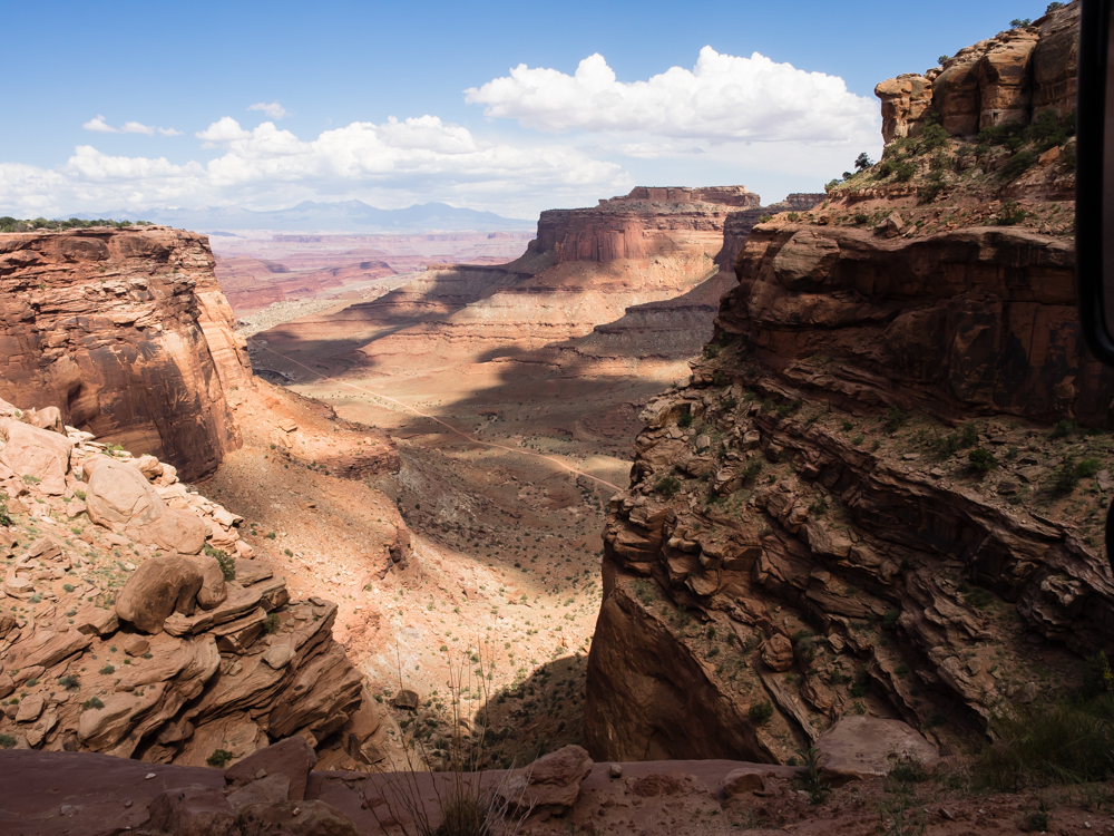
From
Dead Horse Point the Shaffer Trail is visible. We would be
on this trail later in the day.
A
portion of the White Rim is visible on the bench a thousand feet
below the view point.
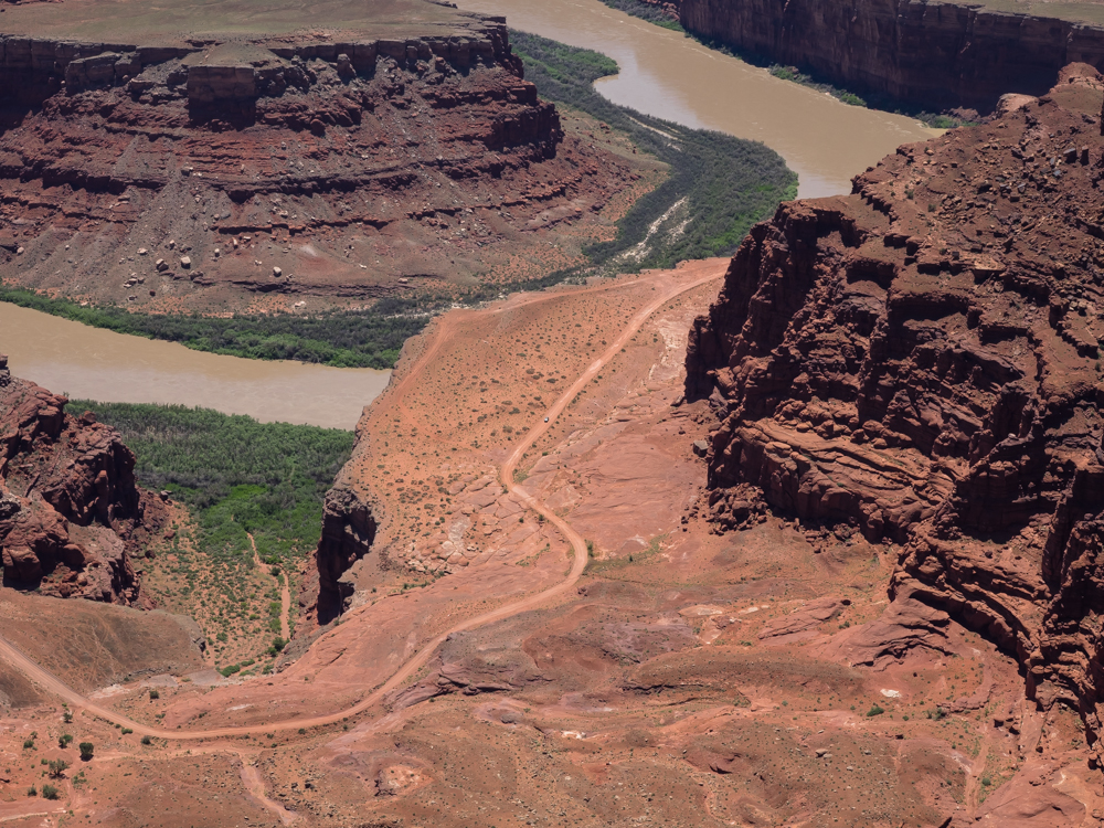
The
White Rim Trail ends at the potash mine.
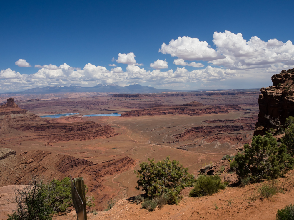
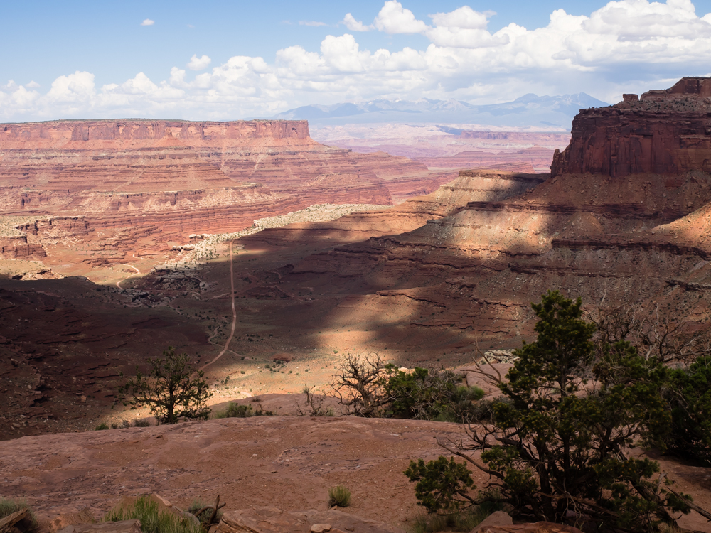
We went
to the Canyonlands Visitor's Center to see about availability of
space on the White Rim Trail. Since the trail is 100
rugged miles, there are few campsites and a permit is required
for backcountry travel in the park. We were amazed to
discover that there was on slot open at 3 successive camps for
us. So, we signed their disclaimer and paid the $30 and
prepared to head down the face of the canyon rim via the Shaffer
Trail. Above is the view from the Visitor's Center parking
lot looking toward the La Sal Mountains.
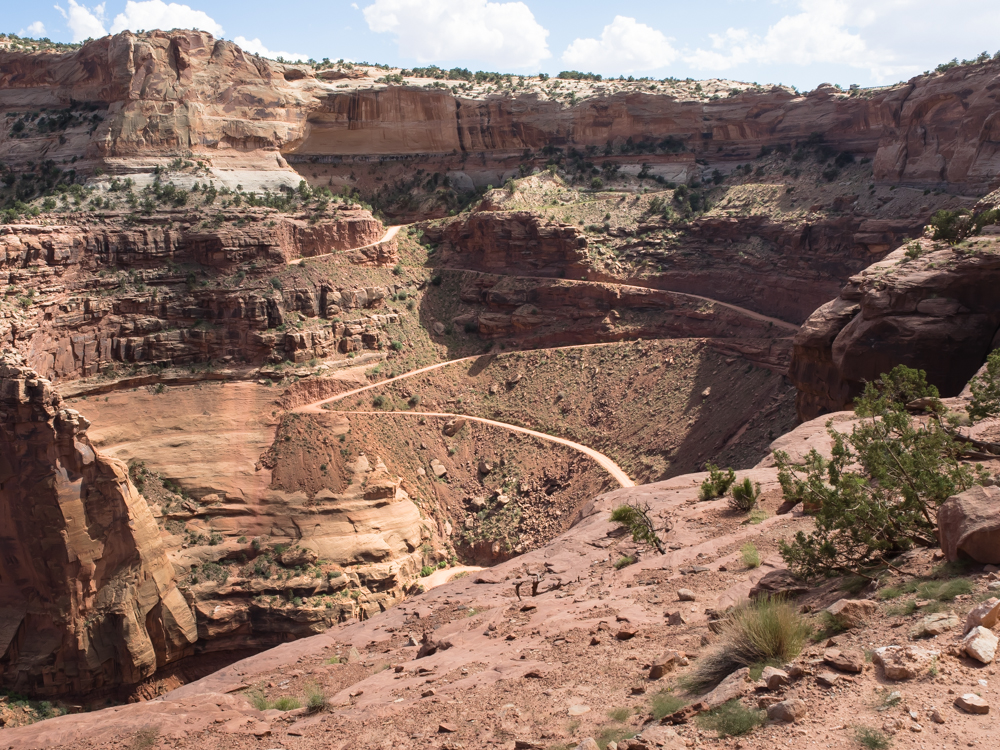
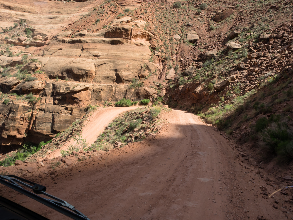
As we
head down the Shaffer Trail, we got great views of the canyons
below.
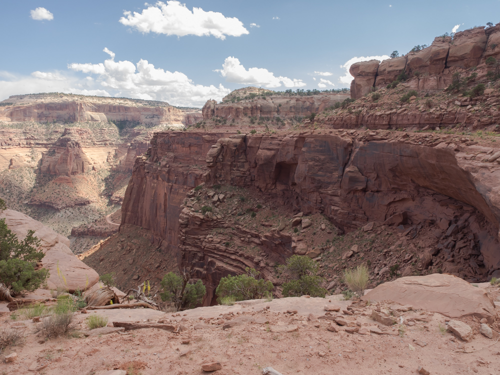
The
Shaffer Trail was constructed by uranium prospectors in the late
1940's. It is very, very steep. A portion of one of
the switchbacks is visible at left-center of the photo above.
Just
before the start of the steep grade we could see the east end of
the White Rim trail.
The east
end of the White Rim Trail is in good shape. It is graded
and is relatively wide. This is not the case on the west
end. In the photo above, you can see the junction of
potash road and the White Rim Trail (WRT). The WRT forks
to the right.
We got
our first clear view of the switchbacks. In the end, we
had to back up to make the turns only once.
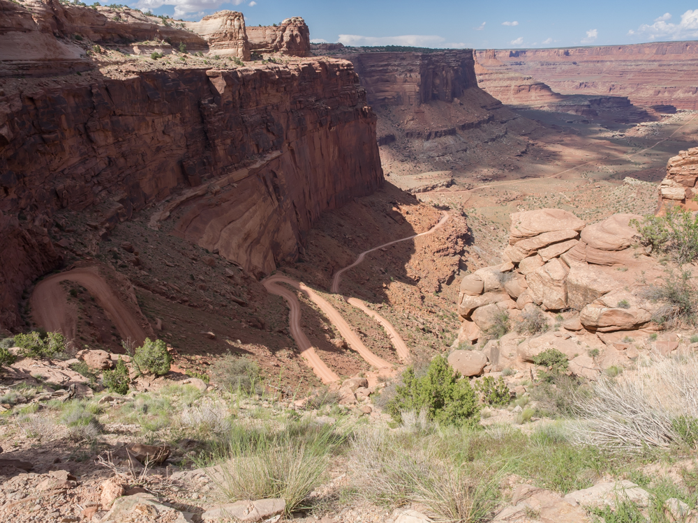
The road
is steep and the switchbacks are tight. But, the road is
relatively wide (by trail standards). Canyonlands gets
plenty of "day trippers" on this portion of the trail so to
minimize their own hassle they keep the road in good repair.
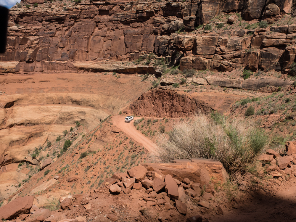
We only
met one oncoming vehicle.
By the
time we get to the bench below, we will be 1,000 feet below the
rim.
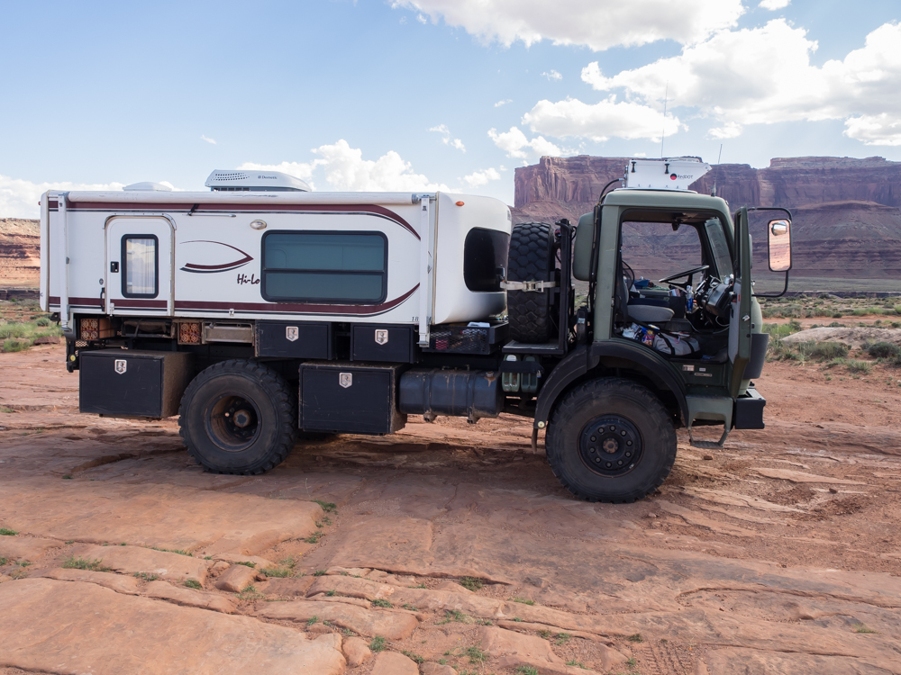
Thor
took up more than 1/2 of the road. But, that is only an
issue when there is oncoming traffic.
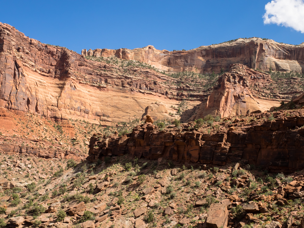
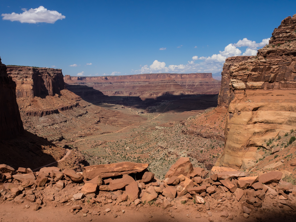
Looking
back up to the rim, the amount of altitude drop is obvious.
The face
of the rim is huge beds of sandstone.
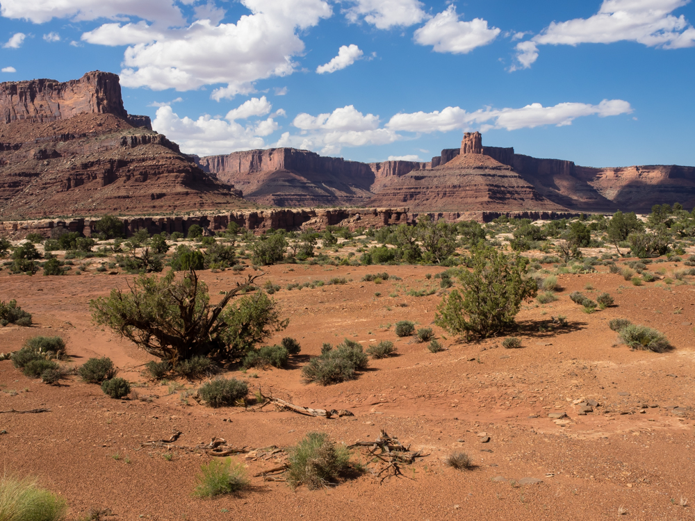
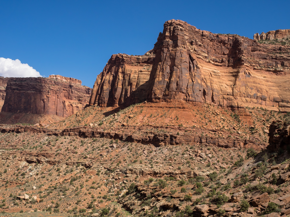
Finally
on the lower bench, we got great views of the valley.
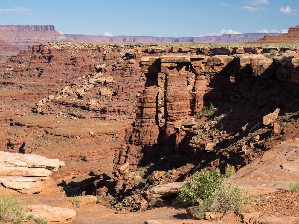
The
White Rim is named for the hard sandstone that forms the caprock
of these hoodoos.
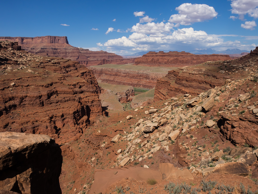
From one
of the side canyons we got a glimpse of the Colorado River
below.
It was
quite hot on the bench but we stopped at the river overlook for
photos.
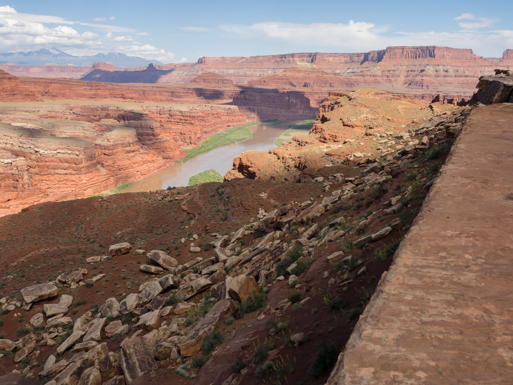
From the
overlook the muddy Colorado is clearly visible.
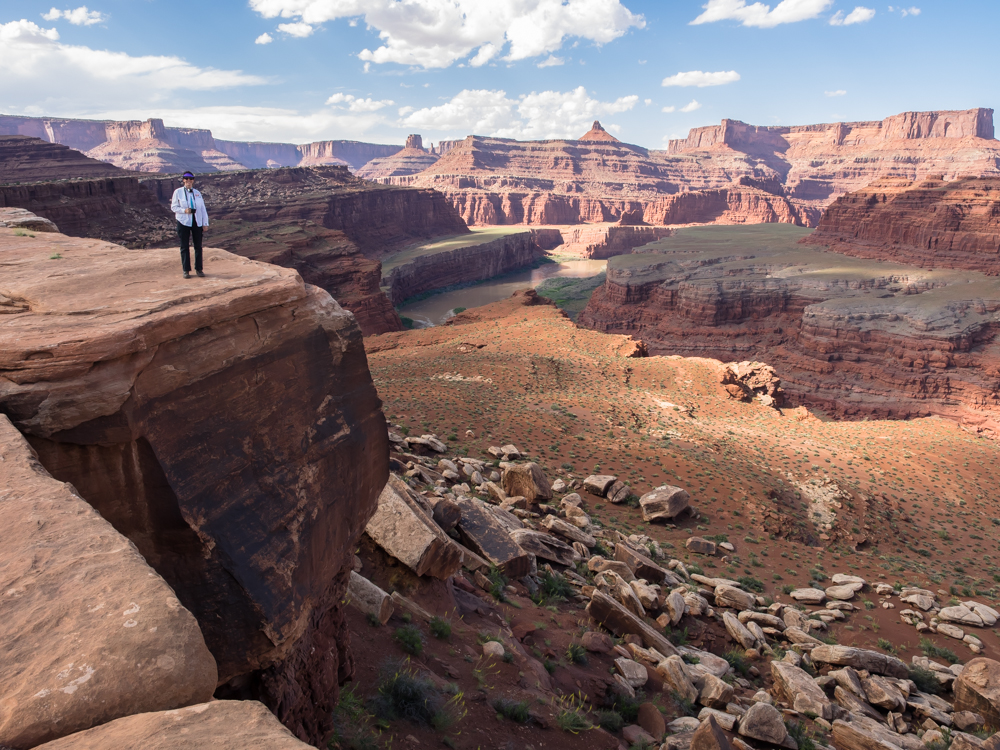
The
river cut huge canyons in the sandstone. Kathleen is
standing at the edge of a sizeable cliff.
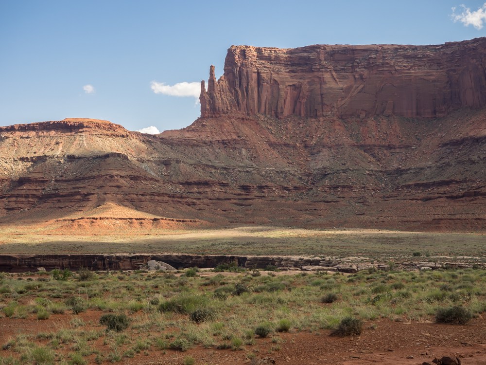
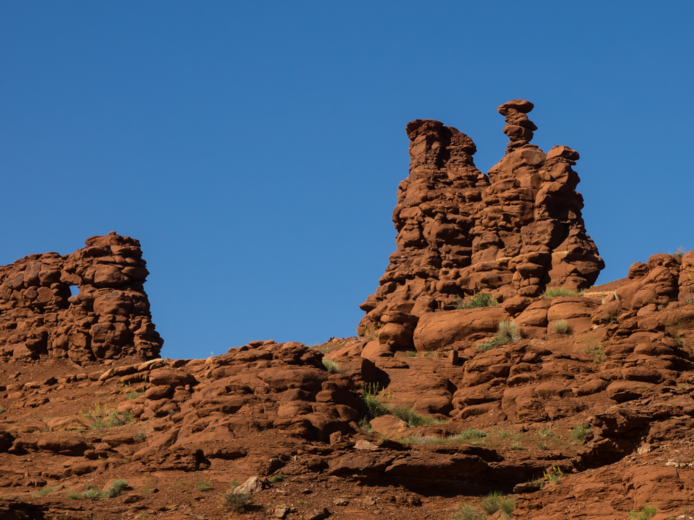
The harder sandstone
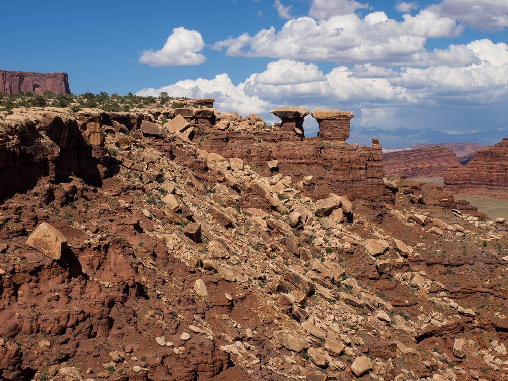
formations produce tight hoodoos and towers.
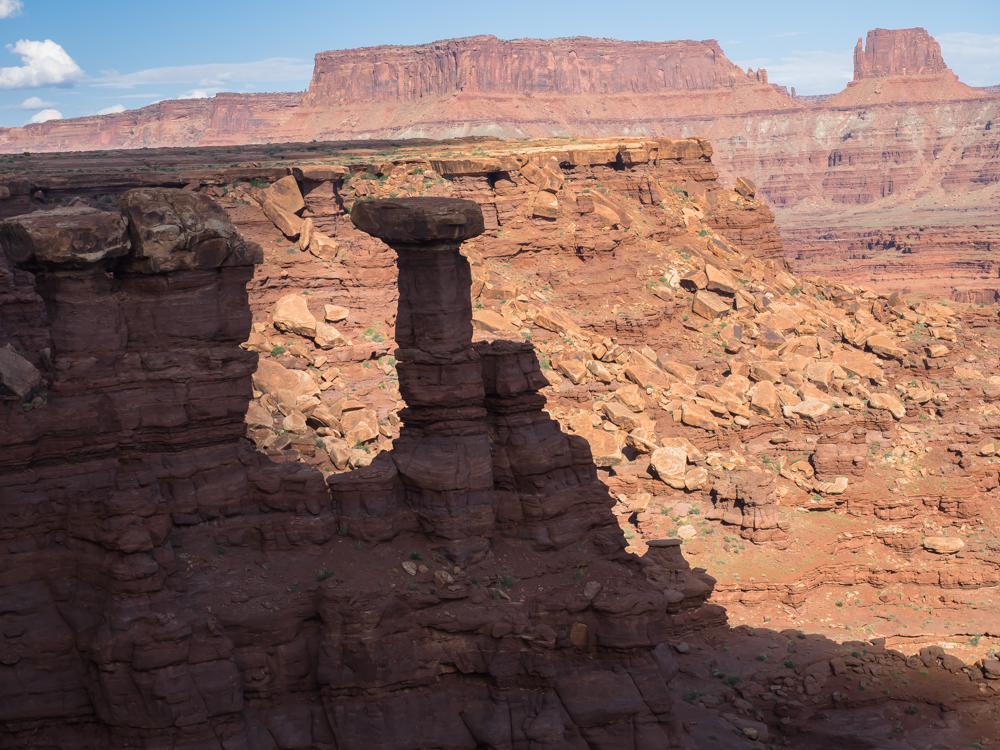
When hard caprock
overlies a softer formation it frequently results in "balanced
rocks" formations.
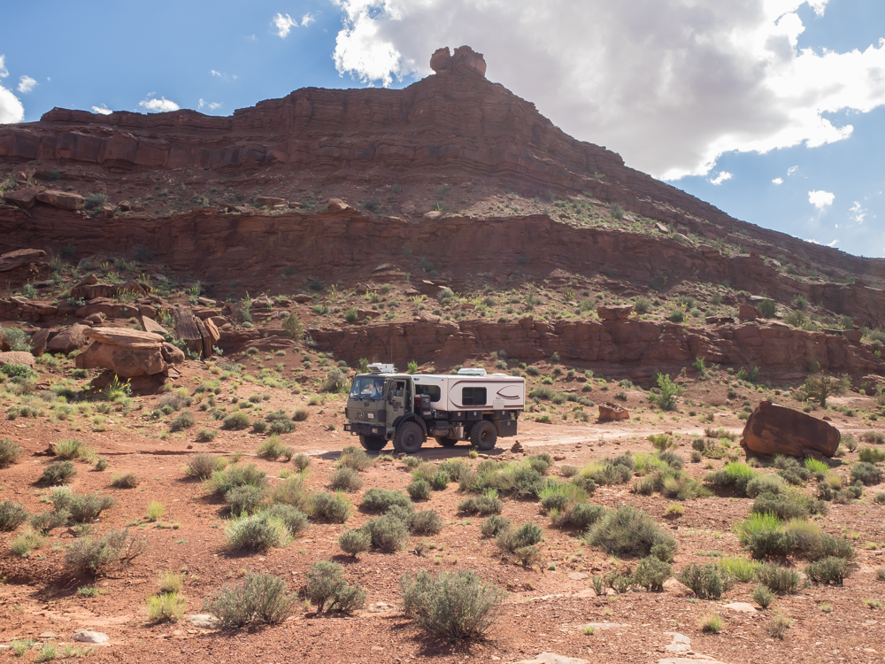
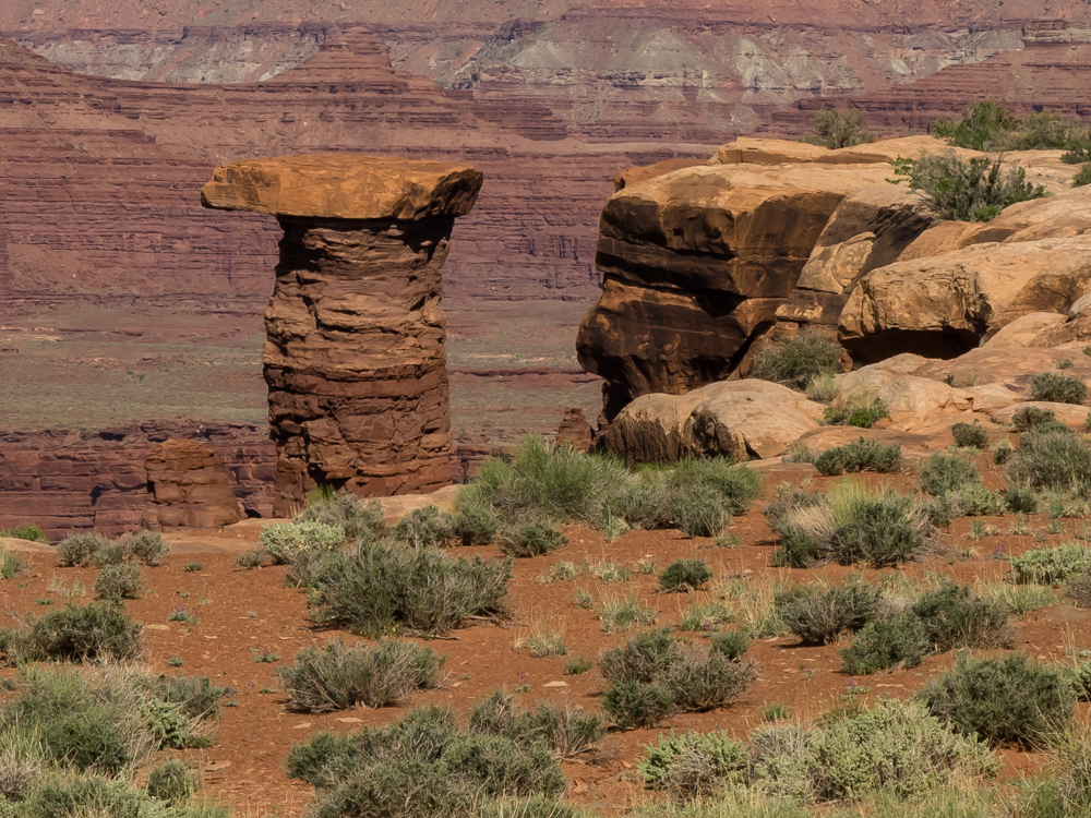
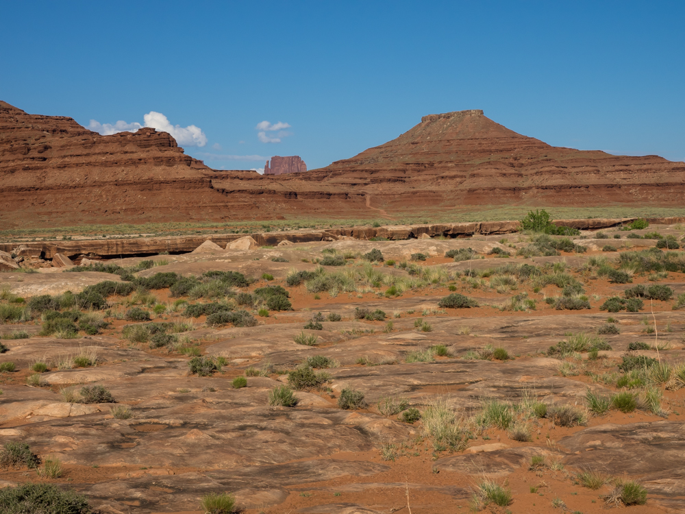
The late afternoon
sun highlighted balanced rocks on the western slopes of a
ridge that we passed.
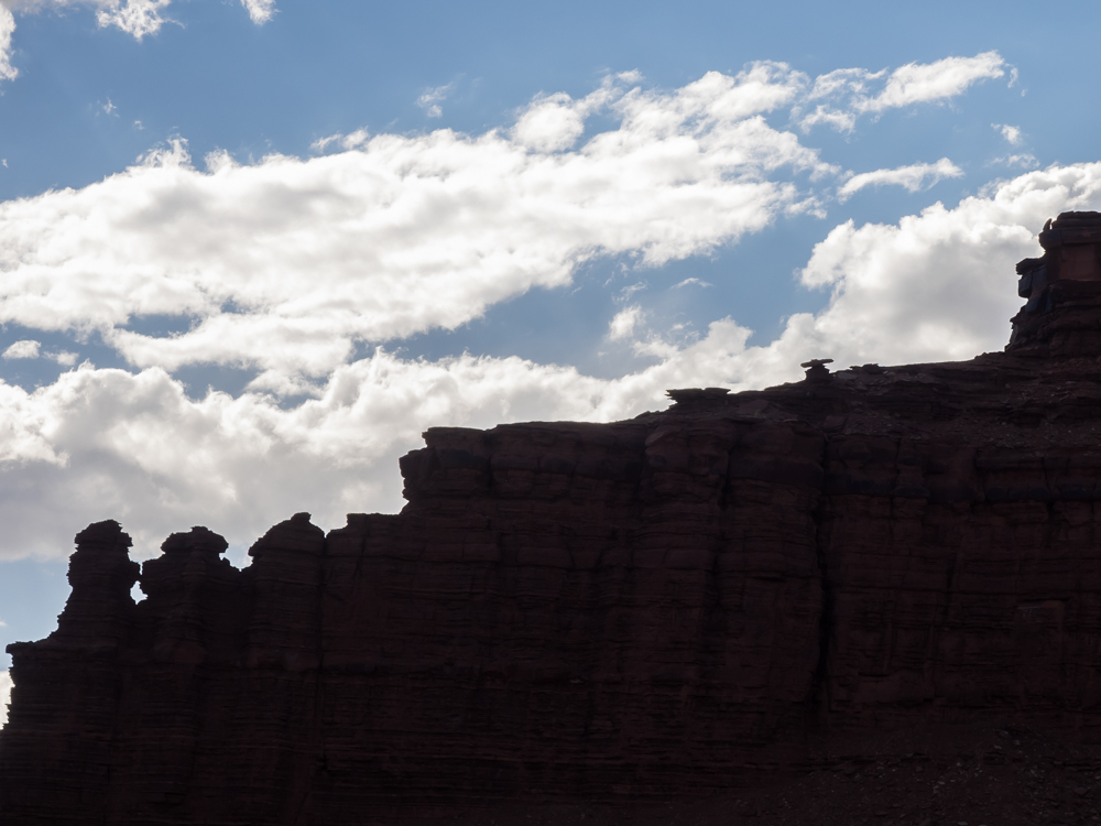
The canyons along the WRT were thick with hoodoos and balanced rock formations.
On the sun-side of the ridges, the rich red color of the rock is revealed.
A set of balanced rock formations were visible from the trail.
The late afternoon sun highlighted the haze and dust in the air. Just a few hours before we were on the rim looking down.
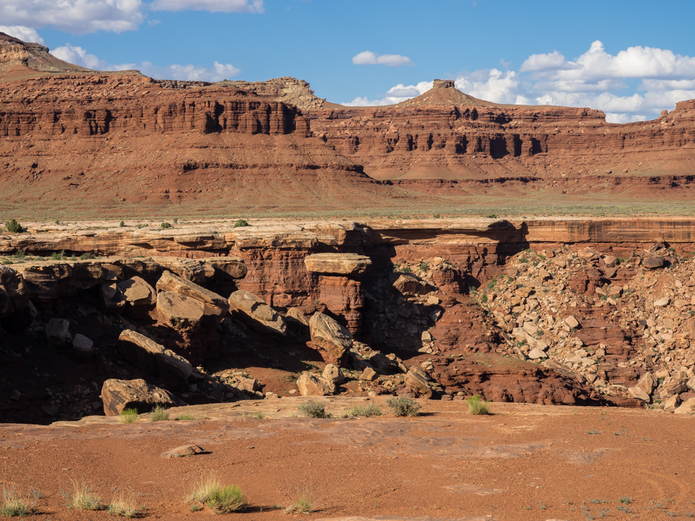
The white rim caprock is clearly visible in the photo above. The bench we were traveling was on the caprock which provided a reasonably level trail. For now. Tomorrow would be a different story.
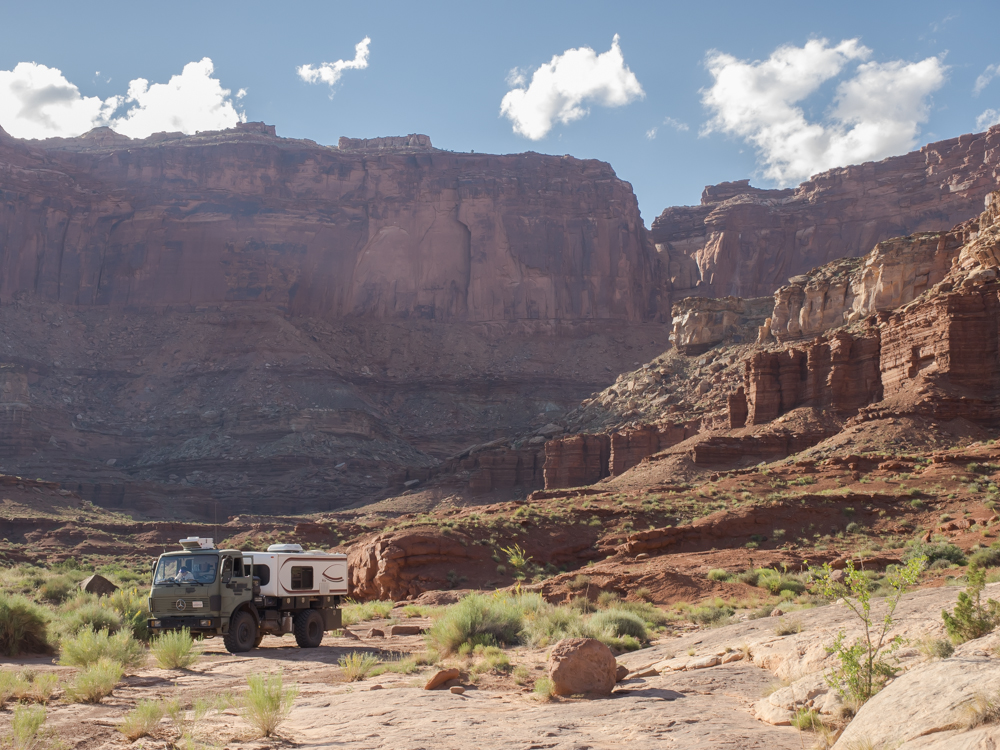
We finally had a line of sight view of our assigned campsite for the night: "Airport". From our location looking east back to our path already traveled, you can see the tight notch that goes over the ridge.
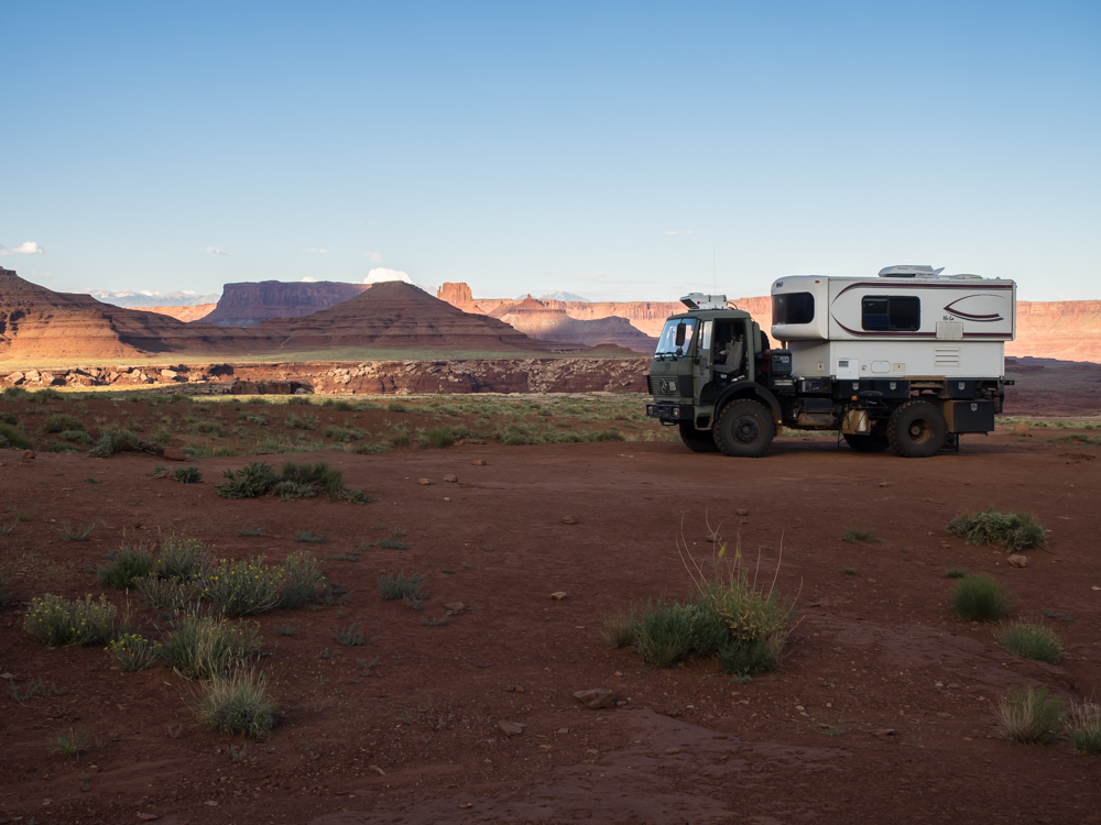
We took our
assigned campsite (there were 4 at "Airport") but the
closest other site was 200 meters away. The furthest
was perhaps a kilometer away. The camp was flat, but
unshielded from the wind or sun. The wind picked up
after sunset but died down by dawn. We BBQ'd a steak
we purchased in Moab and it was great.
| Previous Adventure | ||
| Trip Home Page |
Photos and Text Copyright Bill Caid 2014, all rights
reserved.
For your enjoyment only, not for commercial use.