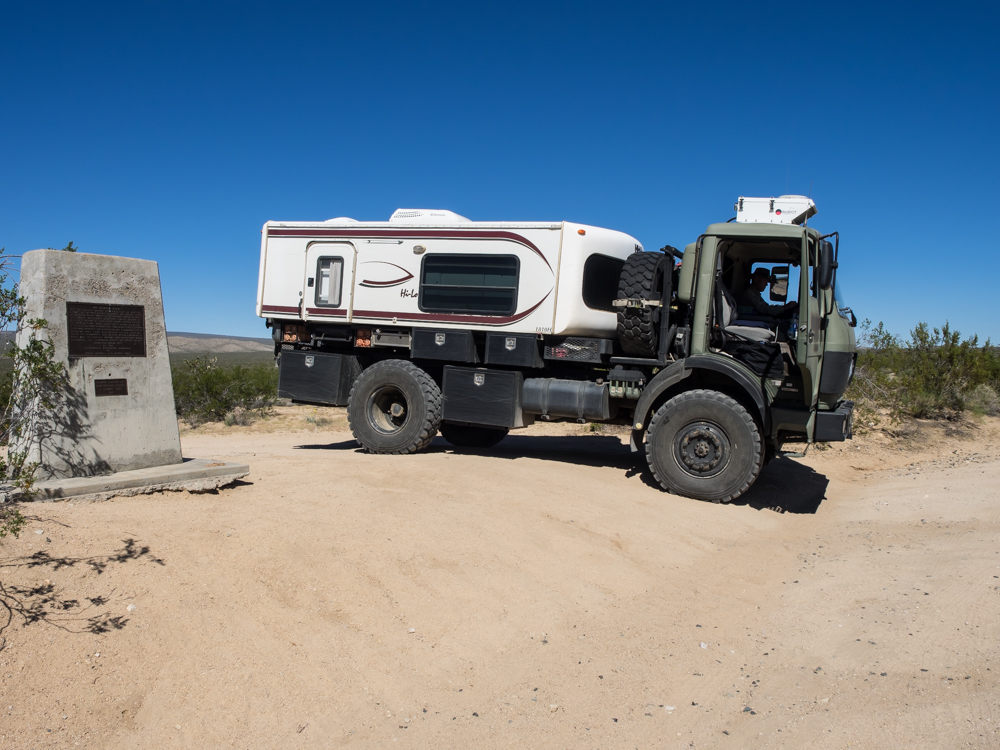
Kathleen
and I decided that we needed more trail work so when MogFest was
complete, we elected to head home "the long way" rather than
straight back to San Diego. Our choice was to go east,
deep into the Mojave Desert. The plan was to follow the
old "Mojave Road", a historical trail that dates back to
prehistoric times and was also used by the early explorers.
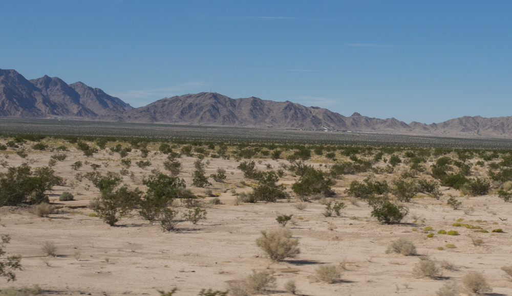
The photos below are what we saw.
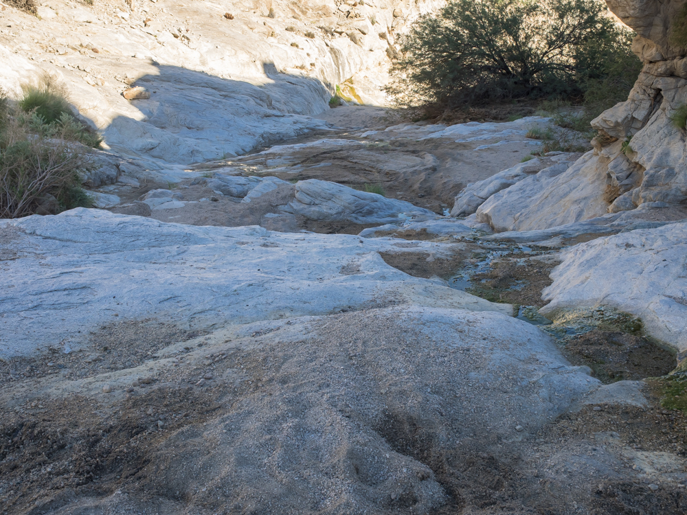
We had
heard that there had been some flooding in the desert, but so
far had not seen it or the results of it. Hurricane Odile
pumped many inches of rain into southern Arizona and the desert
regions of southern California. The Mojave Road going east
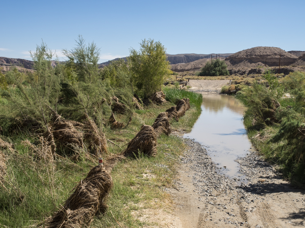
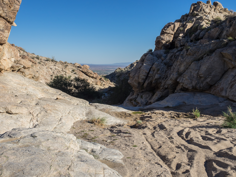
"starts" in Afton Canyon, so we headed there. We found
quite a bit of standing water indicating a deep water
crossing. We were unsure about the absolute depth of the
water or the solidity of the bottom. But, inspecting the
debris piled on the fence posts and in the remaining trees
suggested that the river had been flowing deep and hard.
After some discussion, we decided to take a pass on the water
crossing (since we were alone and getting unstuck in muddy water
is usually no fun). So, our bypass plan called for
returning to the freeway and going up one exit and coming back
to the Mojave Road on the far end of Afton Canyon.
We went
up the freeway one exit and then turned south into the
desert. From there, we followed the path until we
intersected the dual BNSF railroad tracks. To get here
required crossing the Mojave River bed and it had been washed
out and was strewn boulders. We searched for the trail,
but the flow from the river washed it away leaving no trace
except where our GPS thought it should be. We could
potentially travel in the riverbed, but given its boulder-strewn
state, it would be both slow and unpleasant. So, we
thought harder about the physical evidence and concluded that
the Soda Dry Lake a few miles down the trail may not be so
dry. The trail crosses Soda "Dry" Lake bed, and I had no
desire to get Thor stuck in a mucky salt flat. Since the
full flow of the Mojave River dumps into Soda Lake and does not
exit, it is fully reasonable to expect that the lake is soft and
likely not passable. Bypass plan "B" called for more
freeway travel to the far side of Soda Lake and then south again
to the Mojave Road.
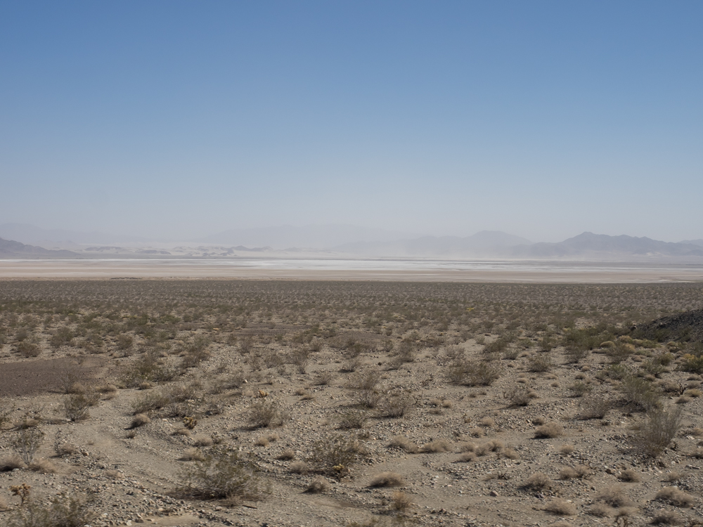
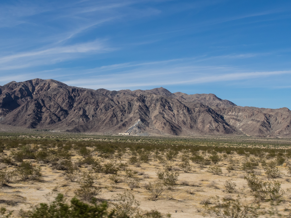
This is
a view of Soda Dry Lake from Zzyzx road and I-15. The
access to the lake is blocked on the west side by a research
center, so we continued east of the freeway to Baker.
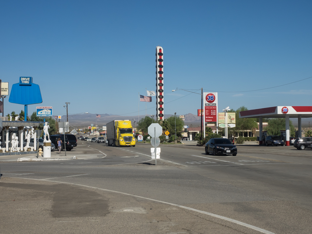
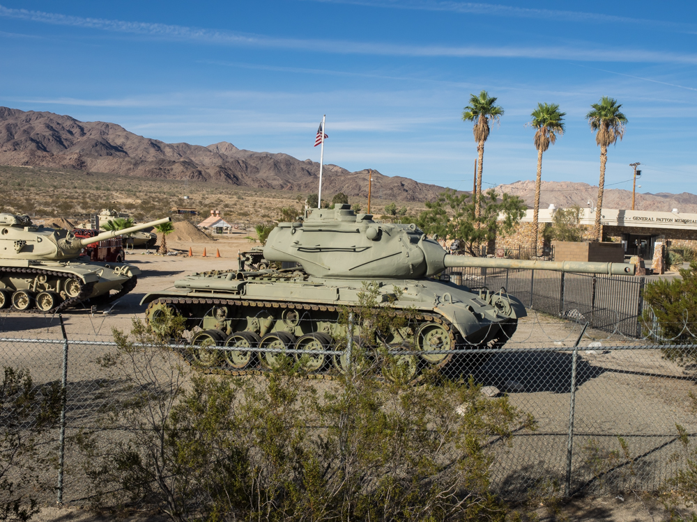
Baker's
(sole) claim to fame is the "world's tallest thermometer".
So, no visit to Baker would be complete without at least seeing
this monstrosity. From Baker, we headed south on Kelbaker
road until we hit the intersection with the Mojave Road.
The
intersection of the Mojave Road with the blacktop was easy to
miss. We spotted a small rock cairn at the side of the
road that was constructed by the "Friends of the Mojave Road" (a
preservation organization) and that was our turn-in point.
At the intersection, the trail generally followed the blacktop
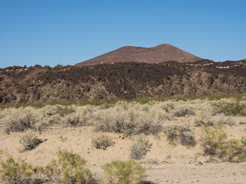
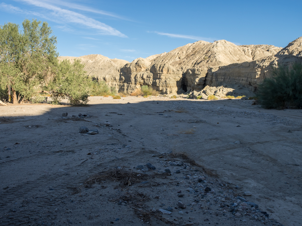
and then turned east toward the volcanic crater field.
From the trail we could see the wall left by a "recent" lava
flow. A portion of one of the volcanic craters is visible
at the rear of the photo above.
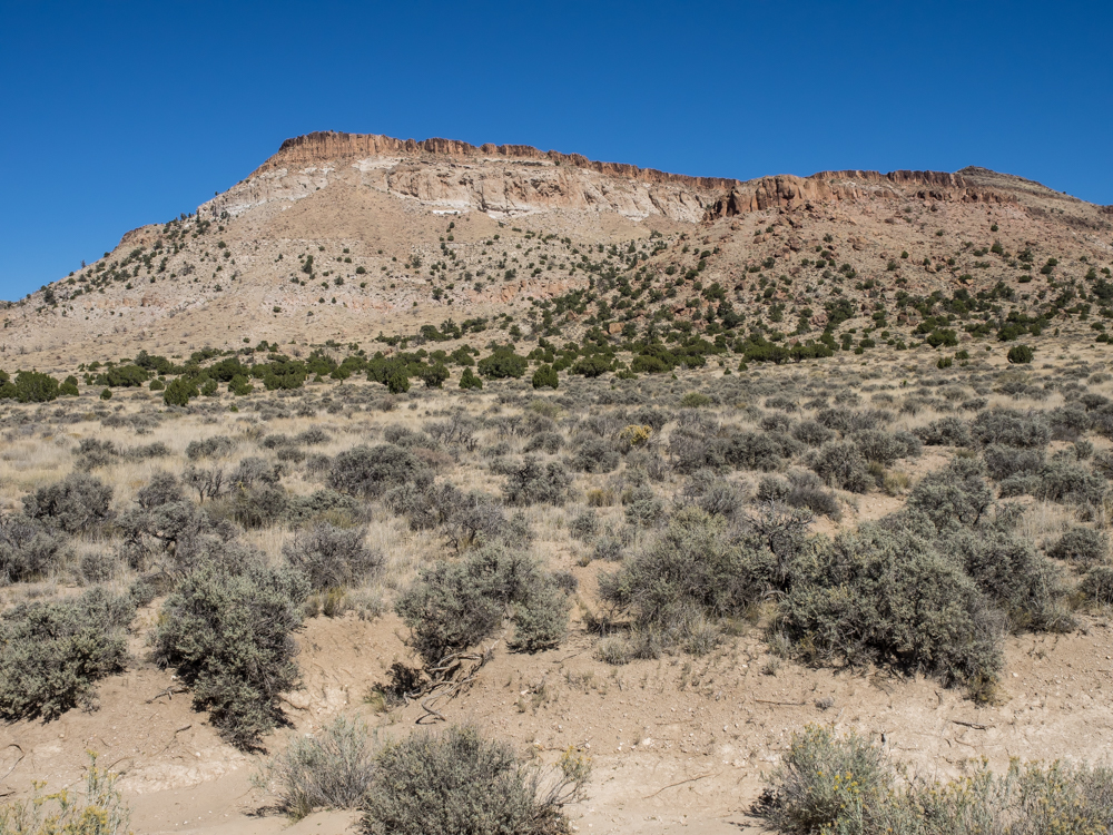
An
interesting aspect of trails in the old west is that they are
frequently re-purposed over time. For instance, the
Immigrant Trail in northern Nevada travels along the Humbolt
River. The path was used by the local Indians since the
dawn of time. Then the path was used by the immigrants
heading west to the gold fields in 1849. The path then
hosted the first transcontinental railroad, then a highway and
finally an interstate highway. The Mojave Road is a less
direct path than most, but it was well known to the local
Indians and later used by other explorers. Today, aside
from the historical trail preserved by local enthusiasts, it is
traversed by modern power lines, seen in the distance.
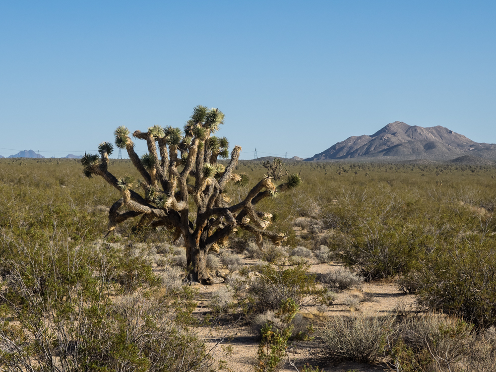
Another interesting aspect of the area is the presence of the
odd-looking Joshua Trees. J-Trees are a type of cactus
that prefer higher elevations. They frequently develop
multiple arms and can get quite large, like the specimen above.
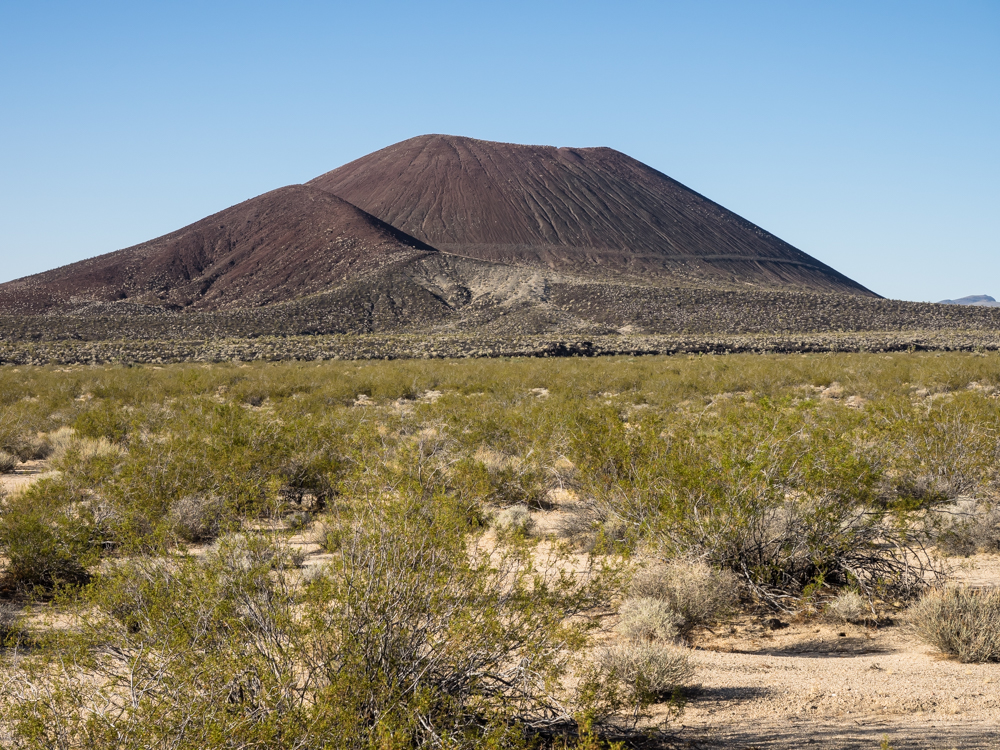
We
ground our way east on the trail and got a better view of some
of the volcanic cinder cones.
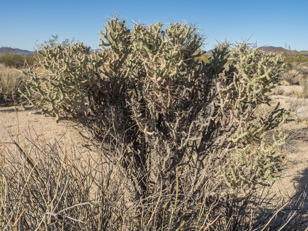
A
reasonably large "pencil cholla" bush. These have 1"
spines that are sharp and nasty. The whole plant is better
avoided.
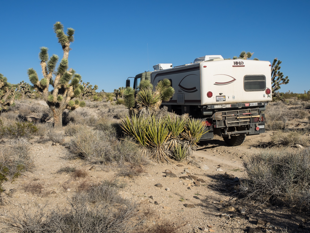
The
J-Trees can get rather tall. In the photo above, they are
accompanied by yucca bushes (the long spiky leaves) that
encroach on the trail and scratch Thor's fine paint job.
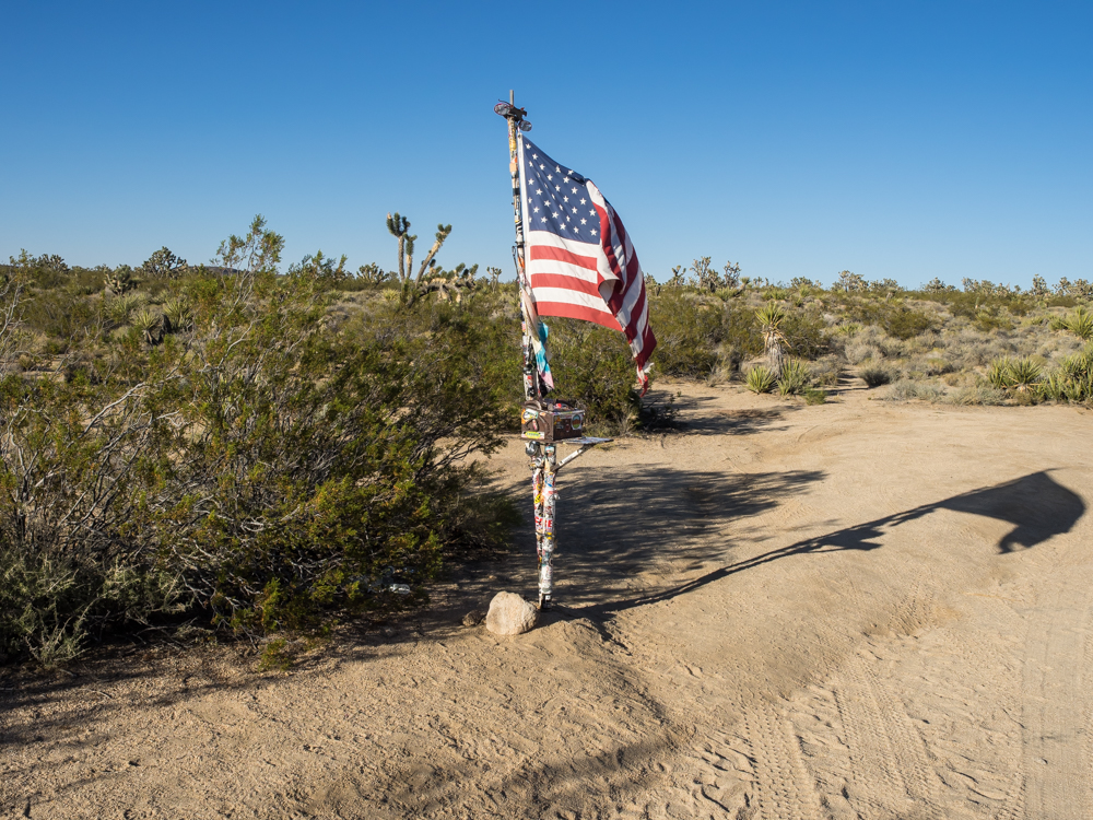
Close to
the crest of a large ridge, we passed a box with a register for
travelers to sign in. The register is changed every year
and is sponsored by "Friends of the Mojave Road".
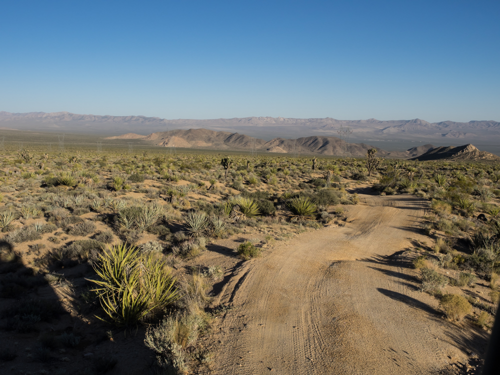
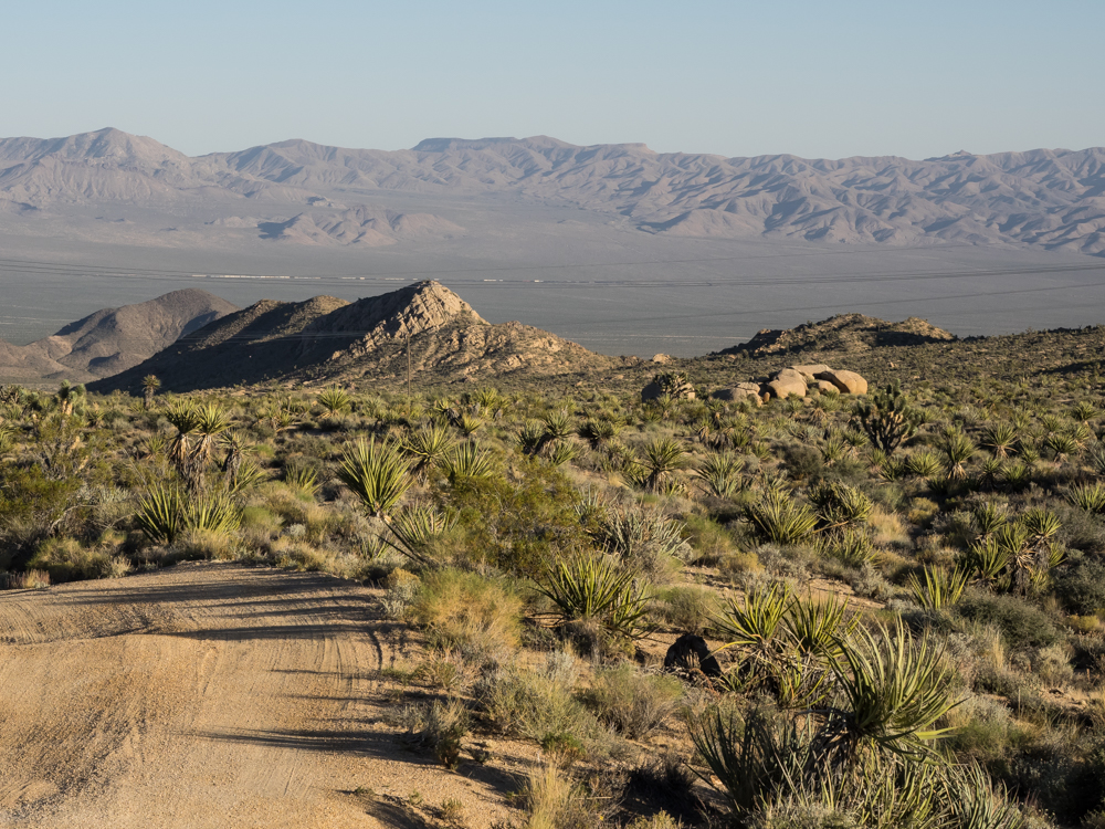
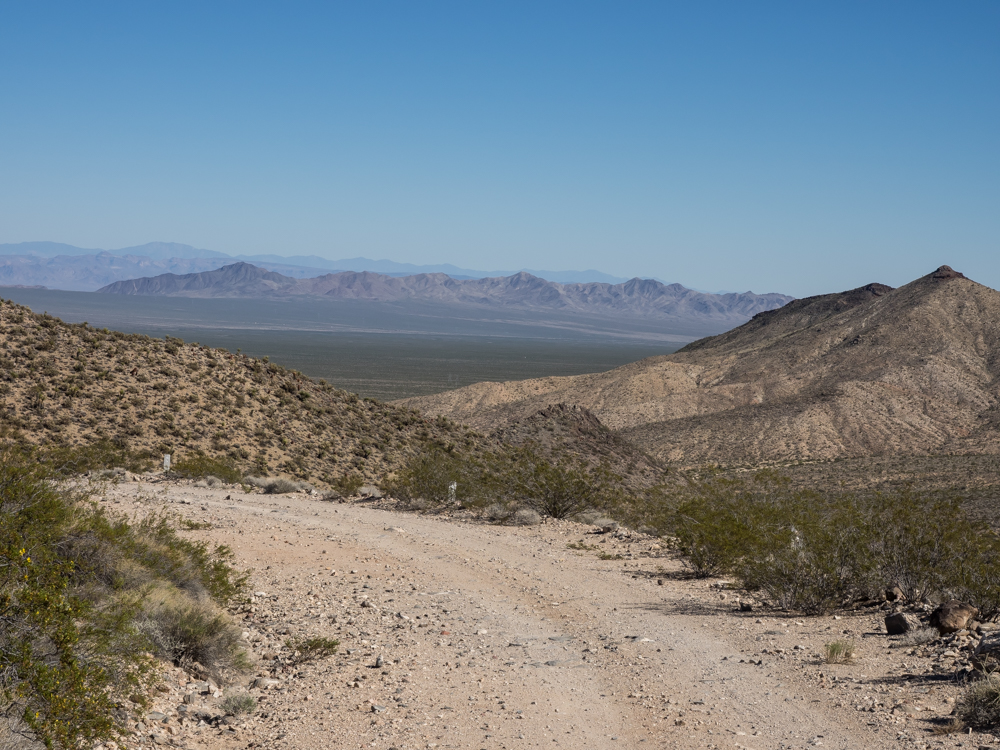
From the
crest of the ridge we had a commanding view of the Kelso valley
to the southeast. Currently, this is within the Mojave
Preserve.
With the
exception of the portion of the trail on the southern flanks of
the New York Mountains, this crest was the highpoint on the
trail. The J-Trees cast long shadows in the afternoon sun.
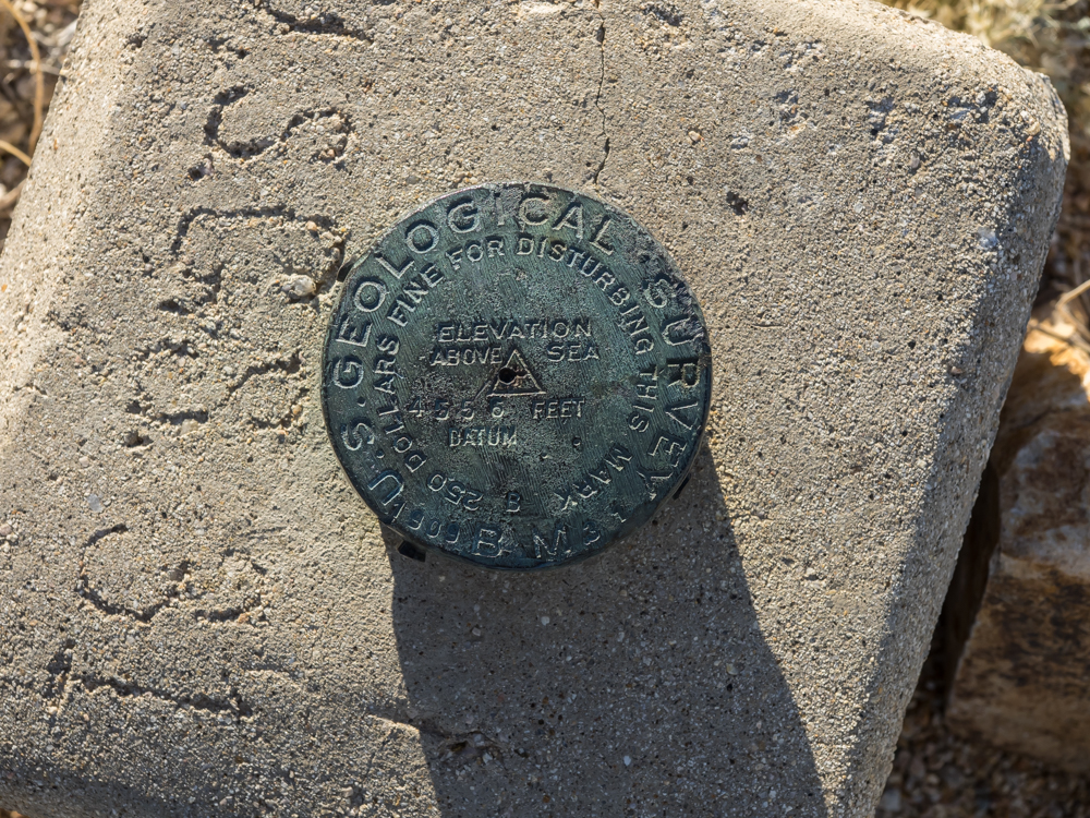
While
out of the truck at the crest, I discovered several USGS
benchmarks. This one, labeled USGS-31 states that the
crest is at elevation 4555 feet above mean sea level and is
dated 1909.
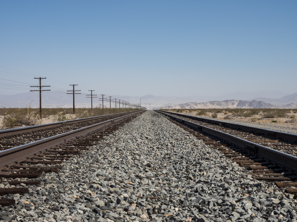
From the
crest we could see a freight train slowly making its way along
the tracks in the Kelso valley. The rails run from Las
Vegas to Barstow, CA.
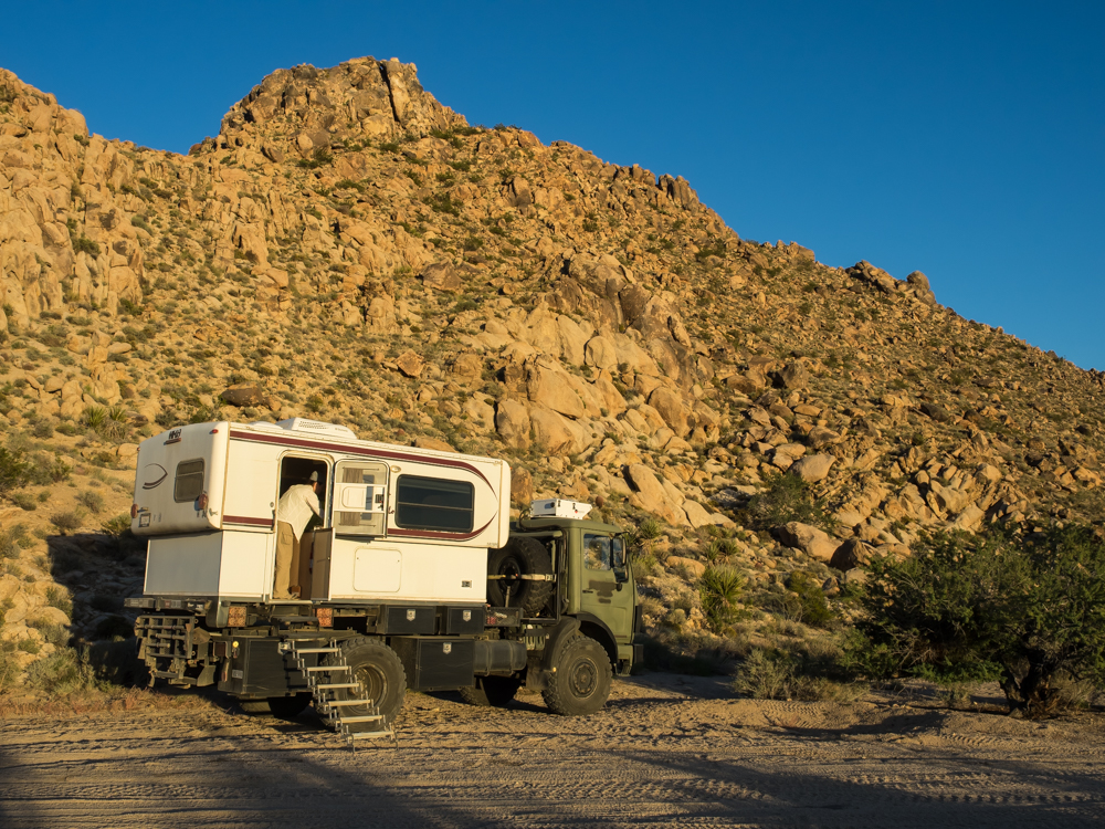
As the shadows grew longer, the air started getting cold so we found a place to camp at the base of a large rock outcropping.
We had a
pleasant night in spite of the stiff breezes. Next morning
the wind was still blowing but the skies were clear. Our
camp gave us a clear view of the Kelso dunes to our southwest.
We broke
camp and continued east on the Mojave Road. Along the way
we encountered a fellow in a Land Rover who was, essentially,
lost. Armed with a xeroxed map with no detail and no
overnight supplies, he had headed out. He stopped us to
figure out where he was and the path to Kelbaker road. The
Mojave Road is not a "hard" road, but it did have a number of
deep washouts from the recent hurricane and plenty of deep, soft
sand. So we were somewhat taken back by meeting a fellow
in a street-class vehicle with no shovel, all by himself.
I climbed the rock outcropping and watched him via binoculars
until he was lost in the brush. I think he made it past
the deep sand, but really have no way to tell. Harsh
terrain can extract a price on those who are unprepared.
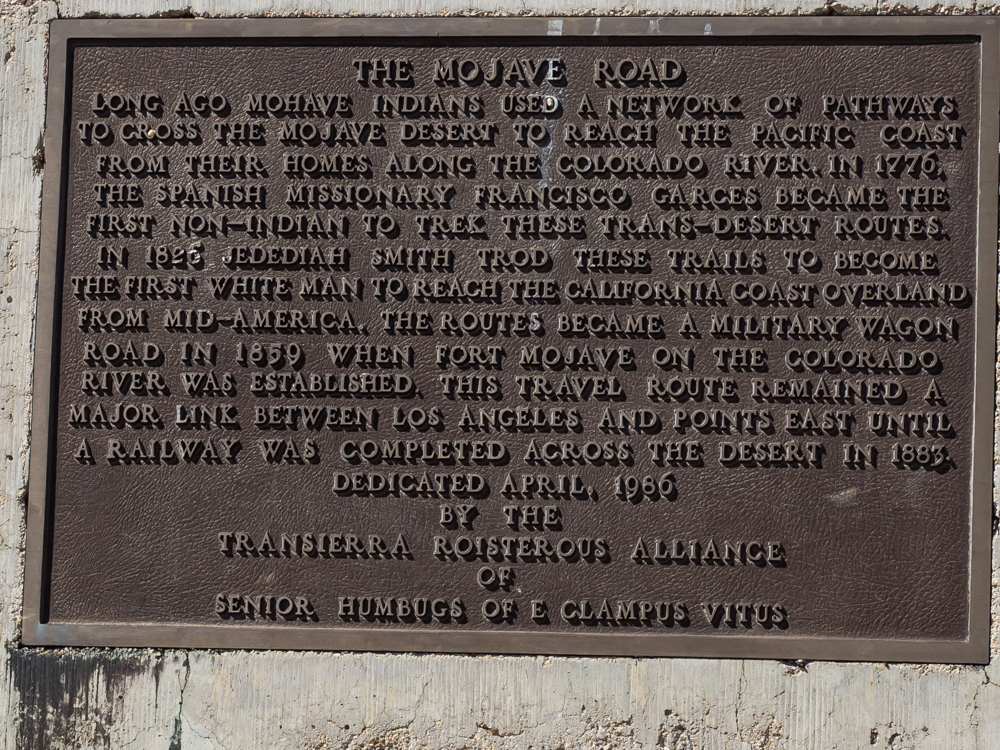
About 10 miles further down the road, we encountered this marker
erected by a preservation group, E. Clampus Vitus (AKA "the
Clampers").
The
monument was at the intersection of the Mojave Road and another
road that parallels the railroad tracks.
We
continued east on the Mojave Road into the southern portions of
the New York Mountains. At this point, the trail was just
over 5,000 feet of elevation.
On the
eastern flanks of the New York Mountains the trail bed became a
trench. The ground is soft, friable decomposed granite
which erodes easily and results in steep edges. The trail
has been used heavily for hundreds of years and each passing
wagon or vehicle digs the rut a little bit deeper. Thor
was several inches wider than the ditch in many places forcing
us to travel on the walls of the ditch.
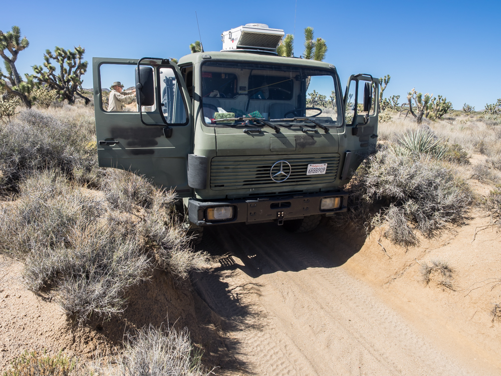
Soon,
the ditch was deep enough to impact our ability to open our
doors. A flat or a de-bead at this point would be very,
very ugly and it would be very difficult to repair. The
brush was encroaching on the trail and the J-Trees were ripping
at our mirrors and the sides of the camper. Above, I
attempt an on-the-trail repair of some J-Tree damage to our
weather stripping. The ditch was deep enough that to reach
the top of the camper I only had to stand on the surface of the
desert floor.
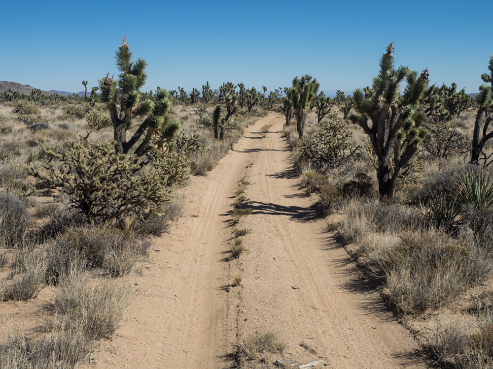
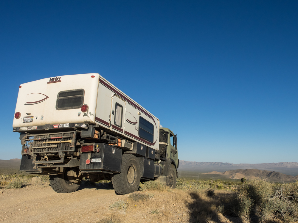
We wound
our way through stand after stand of J-Trees. Due to
Thor's width, we were impacting the trees at many points with
each impact exacting a toll on Thor.
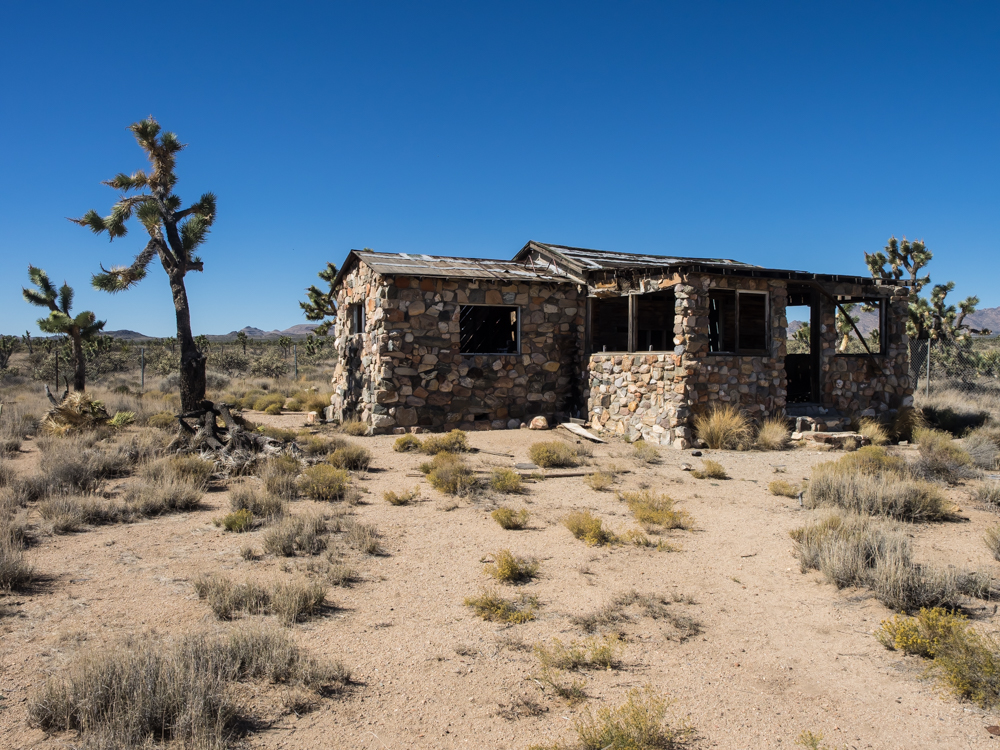
We came
upon this abandoned cabin on the north side of the Mojave
Road. We found no clue to its history nor did we have any
clue as to its water source.
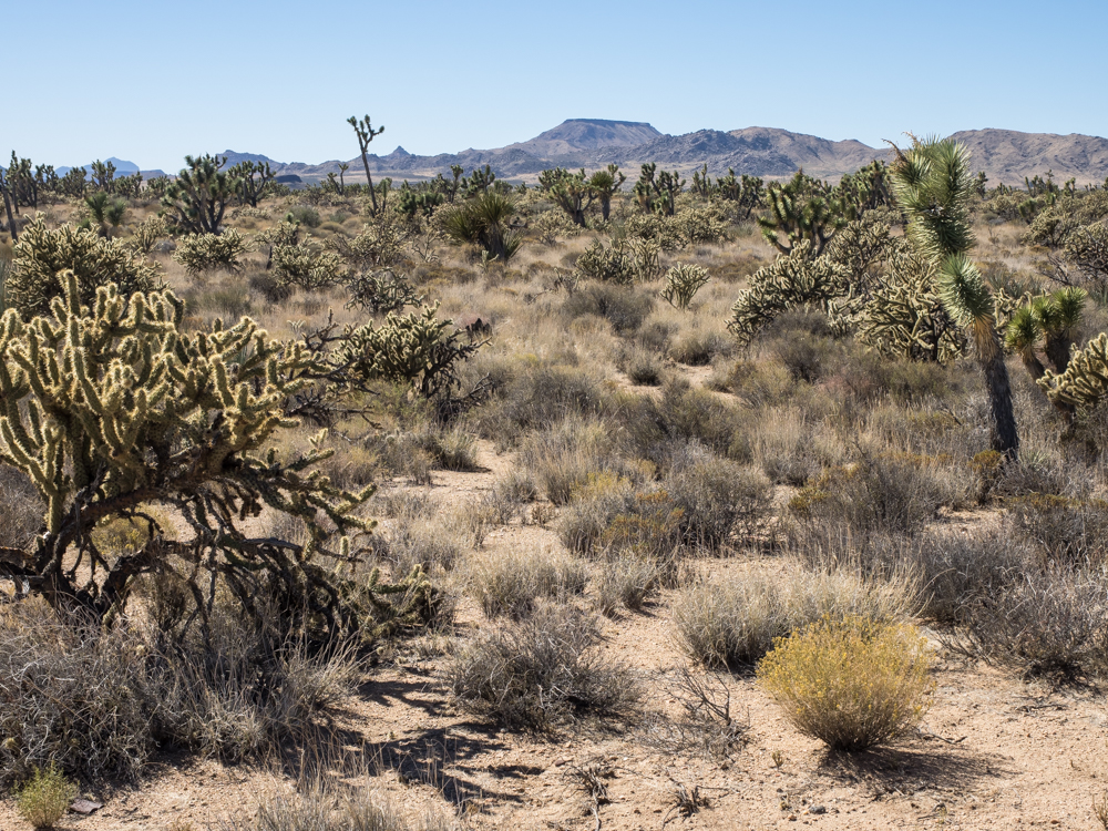
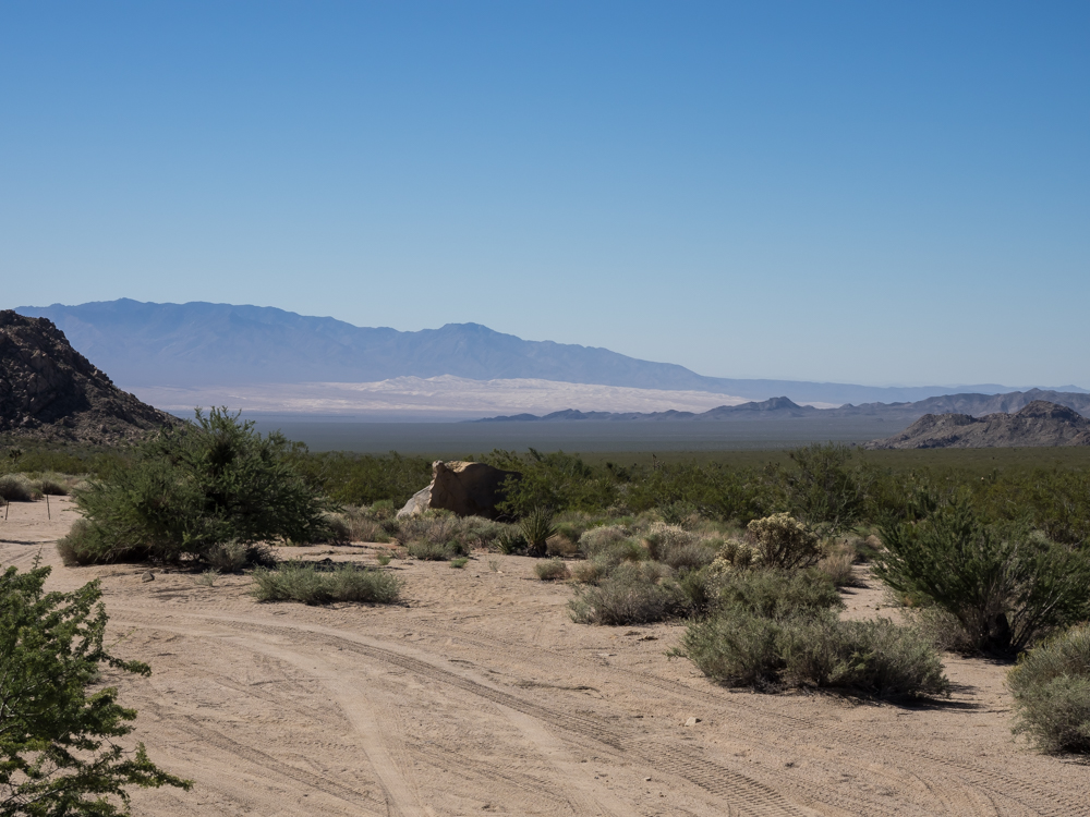
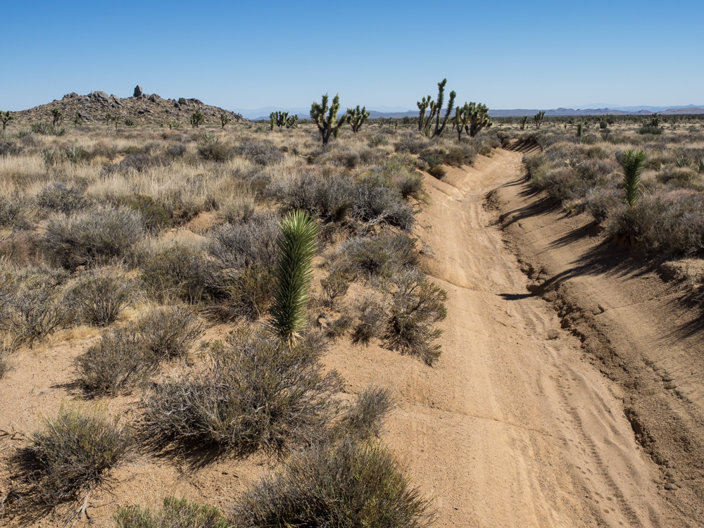
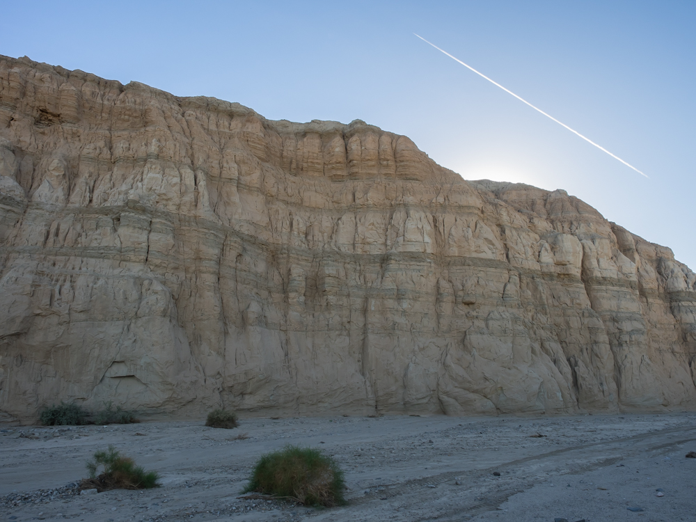
Continuing
east, the nature of the ground cover changed to include several
species of cholla in addition to the J-Trees and yucca.
The skyline was still punctuated by numerous volcanic mesas.
Later in
the day we reached another crest on the trail. This crest
provided us a commanding view to the east all the way to
Nevada. Highway U.S. 95 is in the valley below.
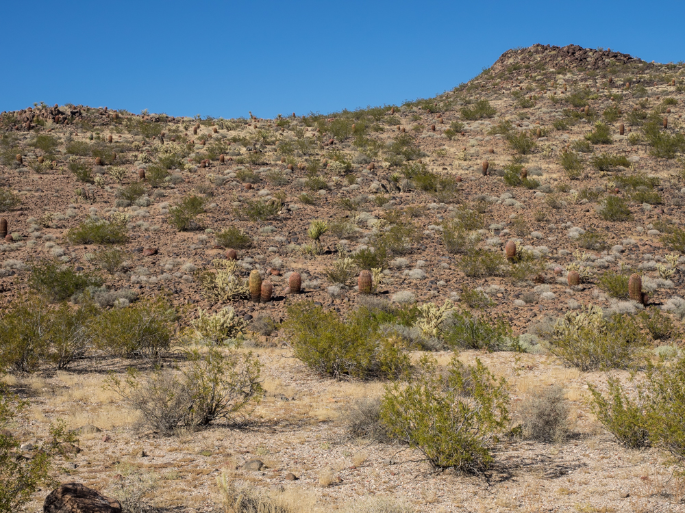
As the
Mojave Road traveled to lower elevation, we started to see more
barrel cactus and fewer J-Trees. The surface of the desert
was covered with volcanic ejecta.
| Previous Adventure | ||
| Trip Home Page |
Photos and Text Copyright Bill Caid 2014, all rights
reserved.
For your enjoyment only, not for commercial use.