We
spent the night at Early Weed Bench overlook. The wind was
calm and it was a good night. Next morning, we broke camp
and headed to Hole in the Rock to see the work of the early Mormon
pioneers.
The photos below are what we saw.
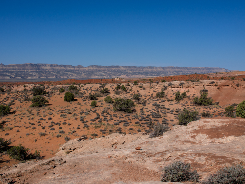
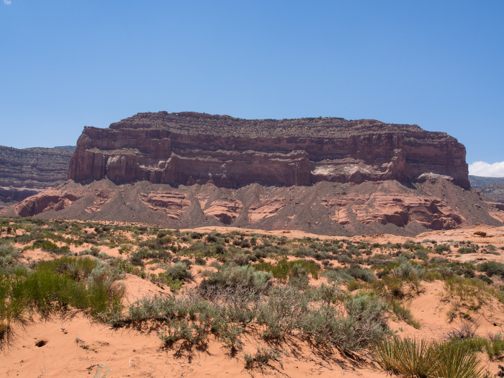
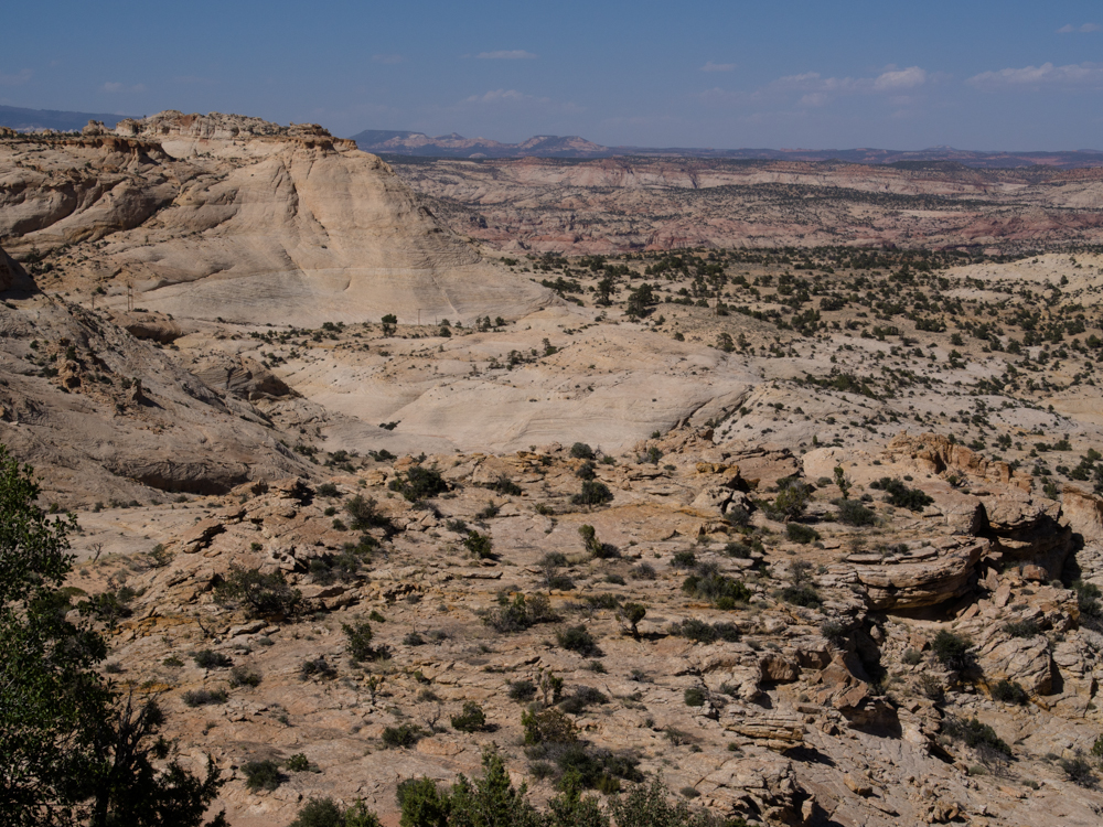
From
our camp site, we had a commanding view of Straight Cliffs that
are about 50 miles long.
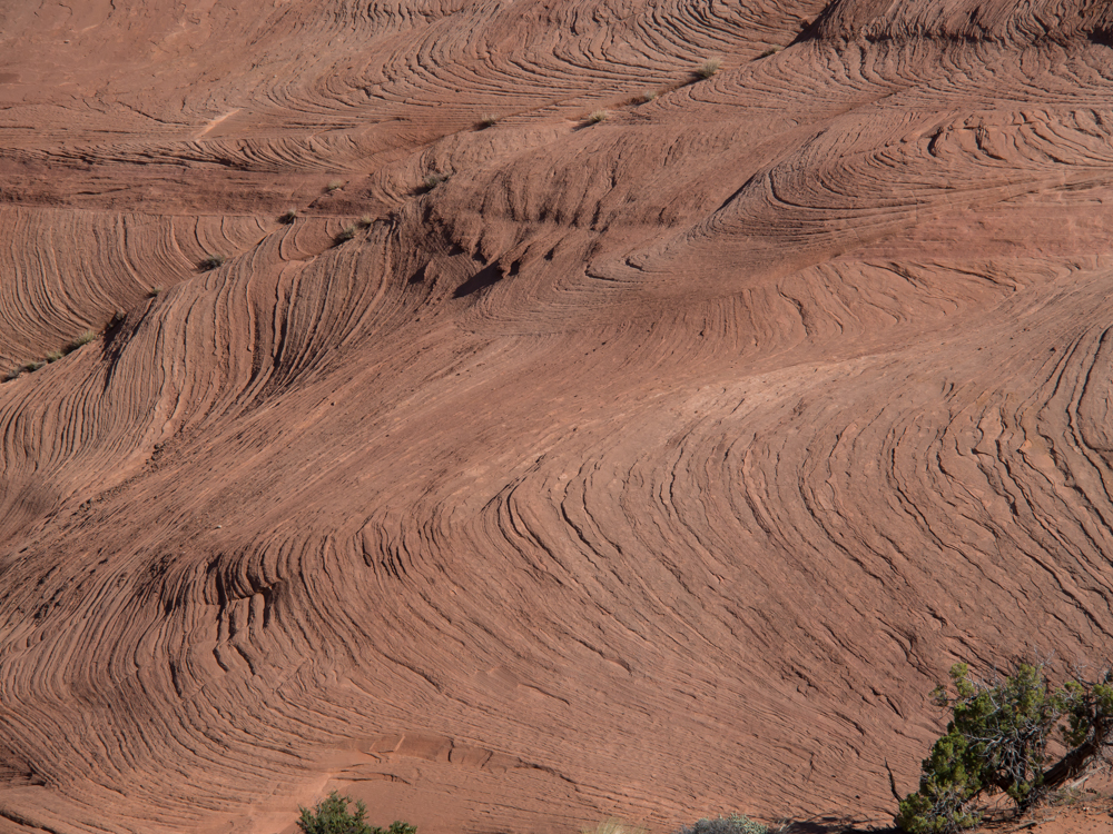
The wind erosion patterns in the rock show the bedding of the
original sandstone.
We
left Early Weed Bench for the main road to Hole in the Rock.
It was slow going as several vehicles sustained some damage the
previous day.
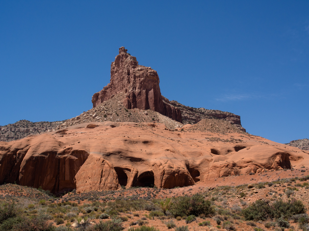
The
dirt road to Hole in the Rock passed a number of imposing rock
structures. Note the alcoves at the base of the mountain.
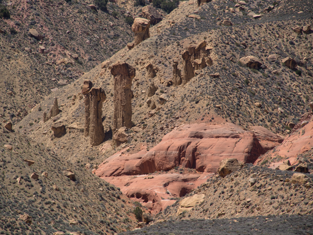
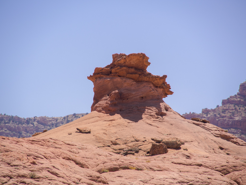
Along
the scree slopes of the mesa were several nice hoodoos.
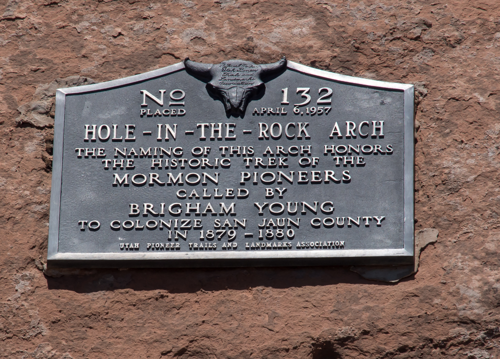
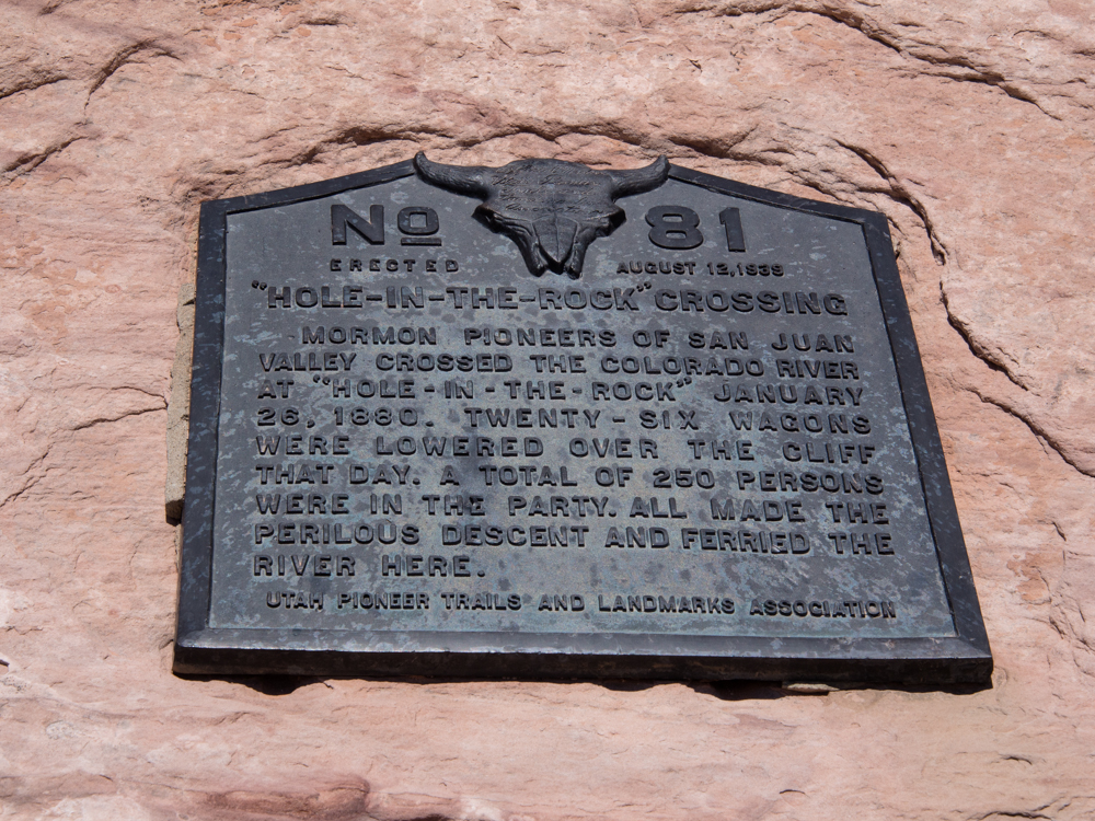
The
sign tells the story. The Hole in the Rock expedition is a
remarkable story of perseverance in the late 1800s.
As
we got closer to Hole in the Rock the road started ascending the
slickrock.
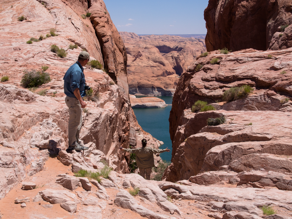
Rob
and Kathleen check out the slot blasted by the pioneers to build a
path to the river below. Wagons were lowered down this slot
to support the expedition to the San Juan river region of Utah.
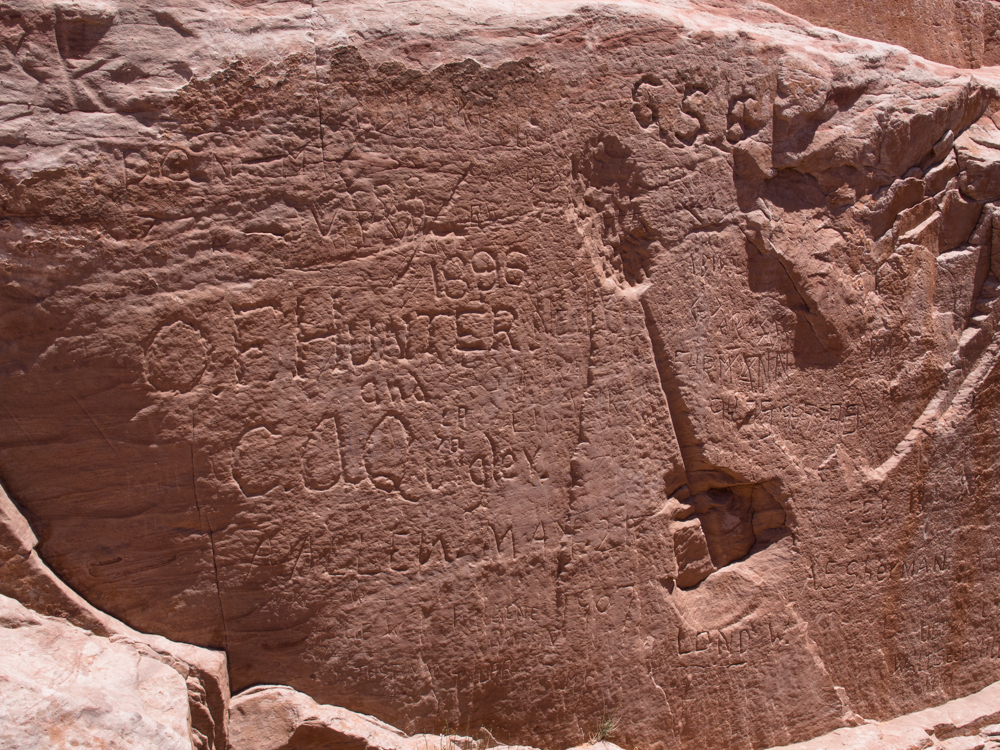
Note the
dates and names carved into the rock walls. Also note
the drill hole and blast marks from the original black powder
charges.
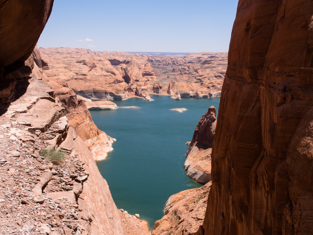
Lake
Powell is visible in the distance through the slot canyon.
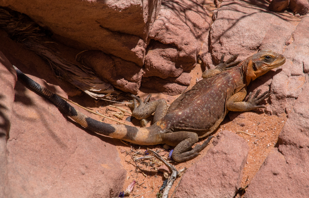
At
the top of the slot I spotted this chuckawalla lizard.
There
were a number of signs that were posted by the Utah Pioneers
Association.
This
is Hole in the Rock arch.
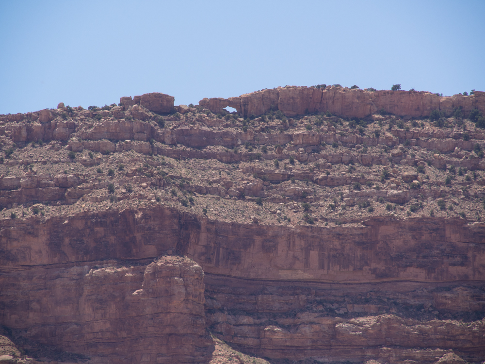
Hole
in the Rock arch is visible to the left of center on the skyline
of the mesa.
One
of the many interesting formations we passed on the Hole in the
Rock trail.
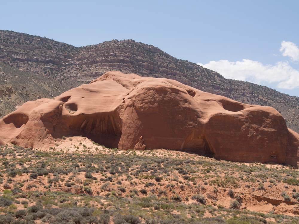
This
sandstone monolith had interesting alcoves as well as an
anatomically suggestive formation on its anterior wall.
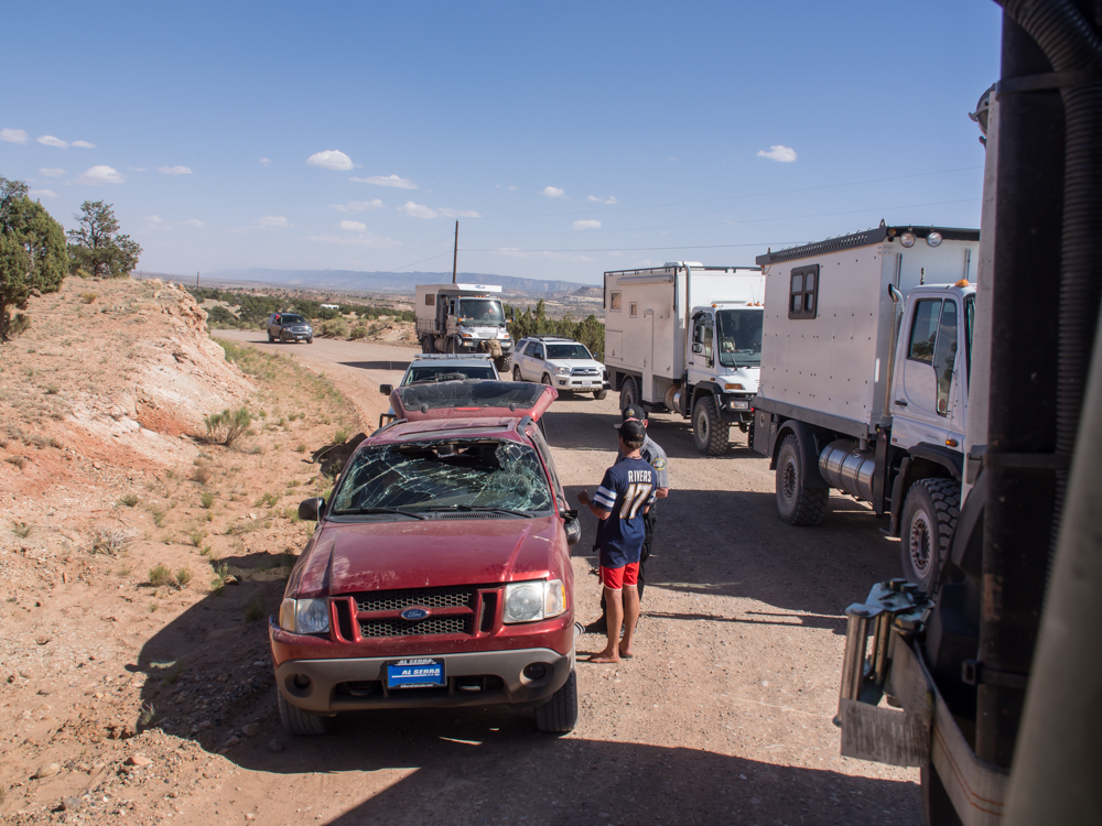
We
passed this fellow at Hole in the Rock. In fact, Chris took
his parking spot. We saw some red marks on one of the cliff
walls but did not think anything about it. It seems he
rolled his vehicle but still drove it the 75 miles to the paved
highway where a sheriff met him.
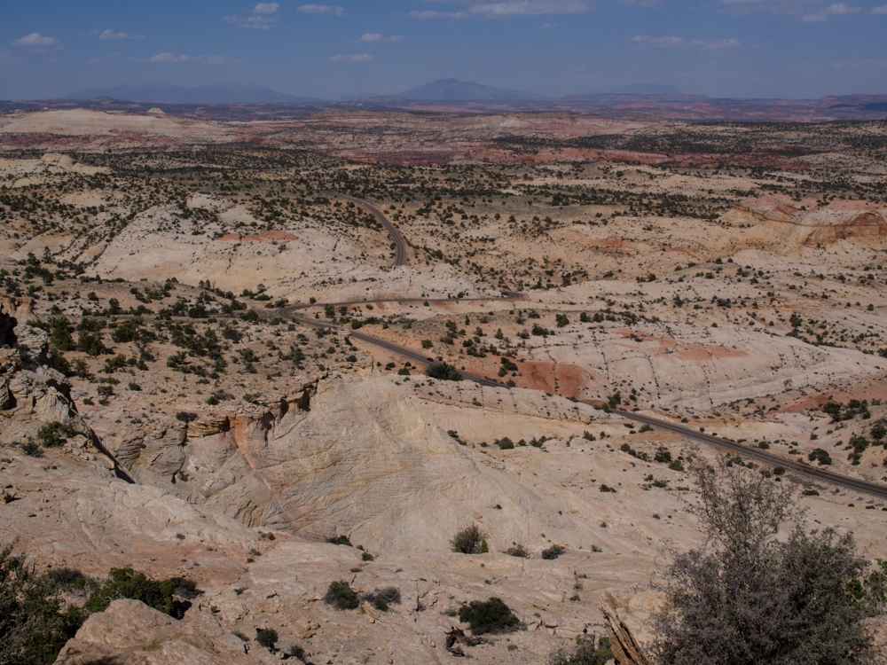
We
stopped at an overlook that provided a great view of the Escalante
region.
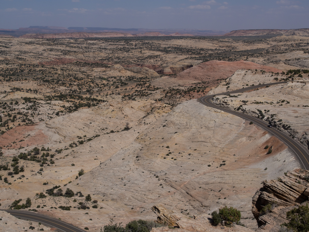
Utah highway 12 is carved through the slickrock
and was built by the CCC.
The
Escalante region consists of huge sandstone formations and
slickrock canyons that run for about a hundred miles.
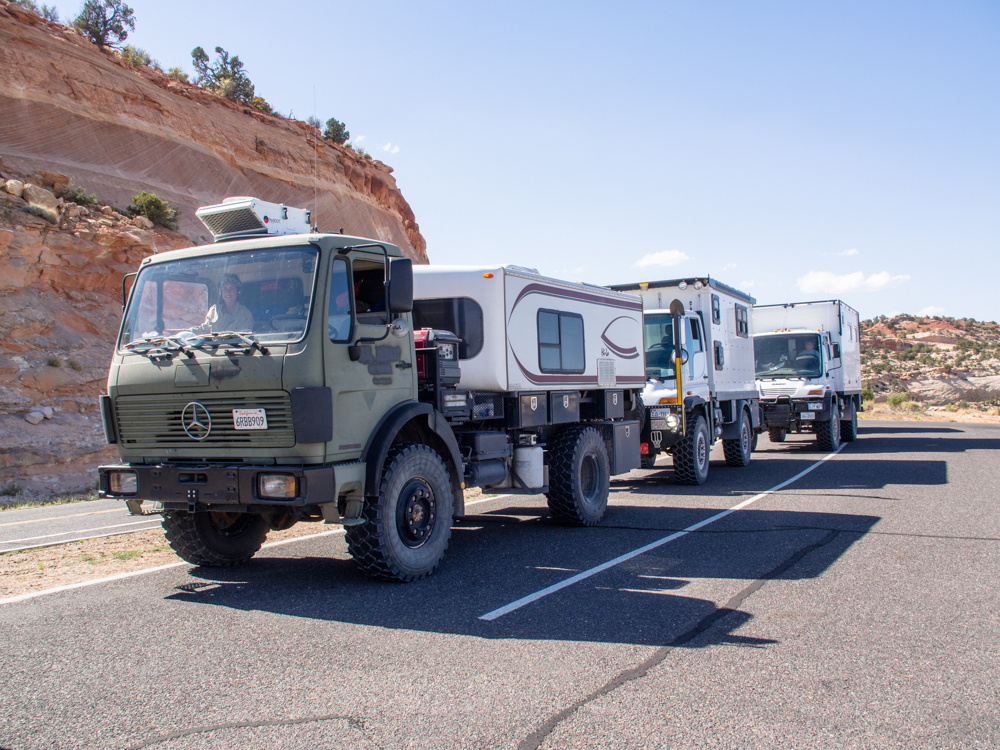
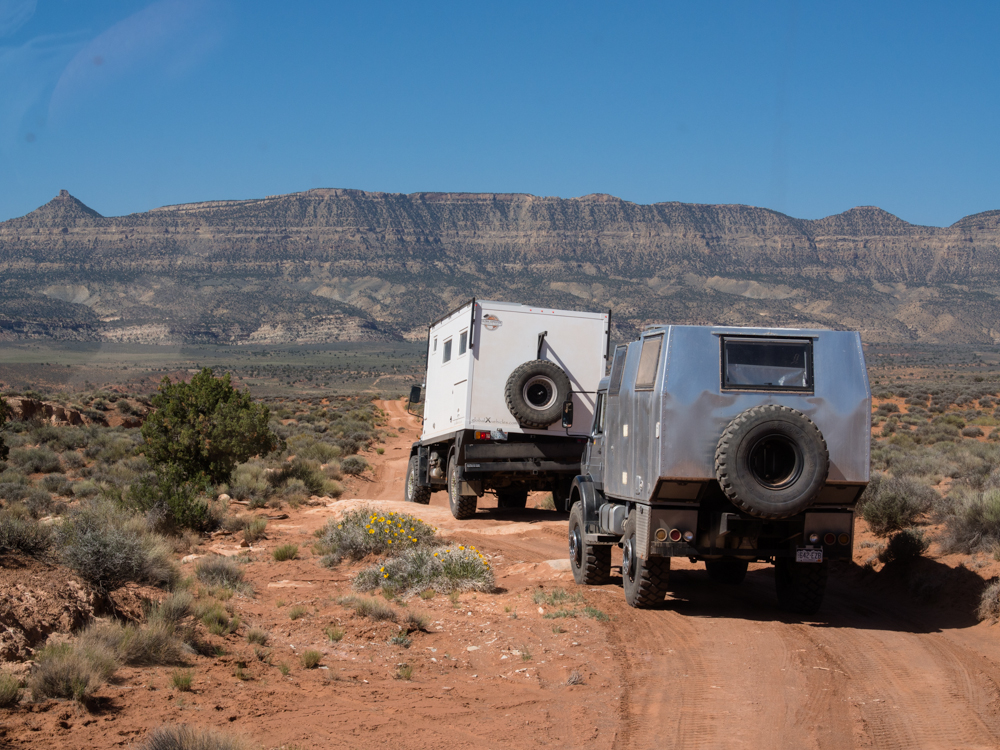
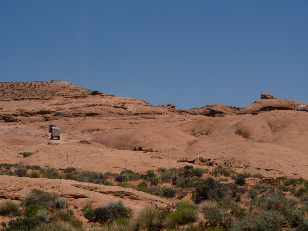
I
got a photo of the trucks at the overlook en-route to our evening
camp site.
| Previous Adventure | ||
| Trip Home Page |
Photos and Text Copyright Bill Caid 2013,
all rights
reserved.
For your enjoyment only, not for commercial use.