We left
Marble Canyon and made our way north on the dirt to Vermillion
Cliffs. We traveled north through the Vermillion Cliffs
wilderness area and then hit US89A and went east to Big Water,
UT for a fuel stop. From Big Water, we headed north into
the Grand Staircase National Monument.
The photos below are what we saw.
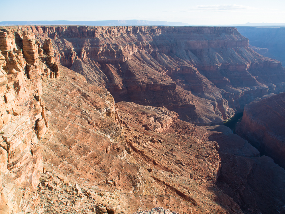
Just
after sunrise at Marble Canyon, we could see into the depths of
the gorge.
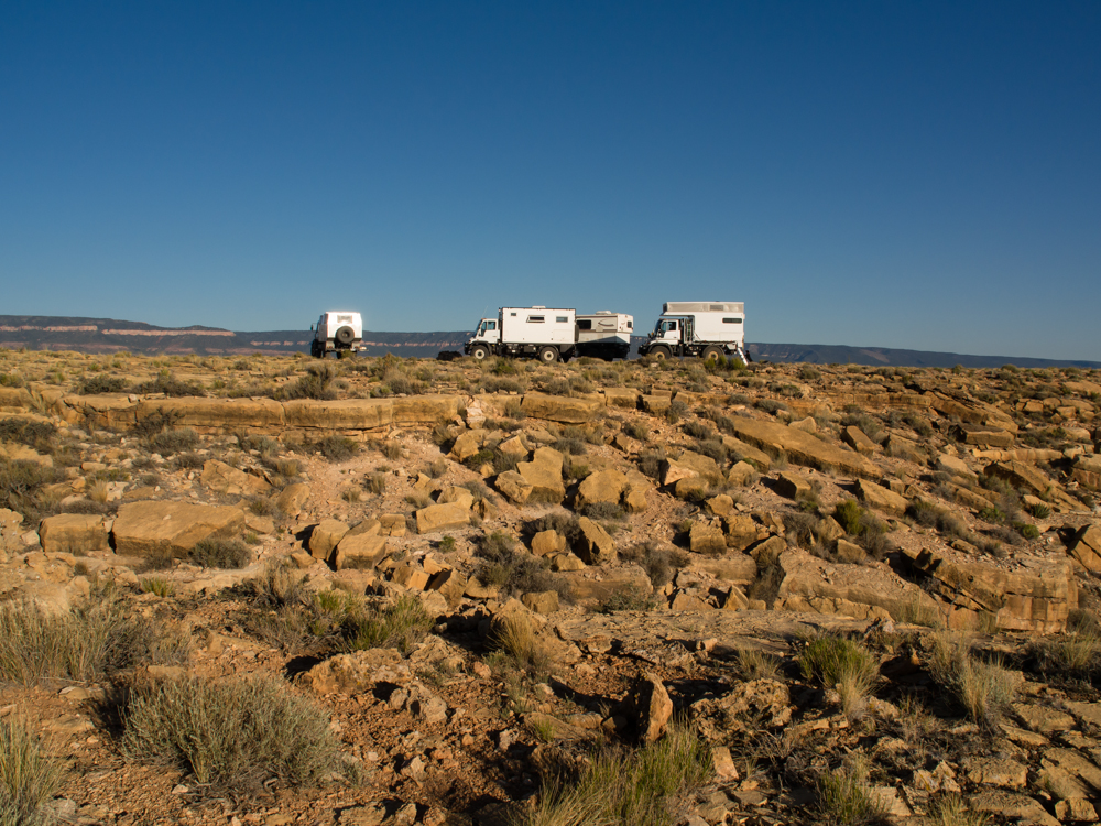
Our camp
site was barren and had no trees. But, what it lacked in
trees, it more than made up for in awesome views.
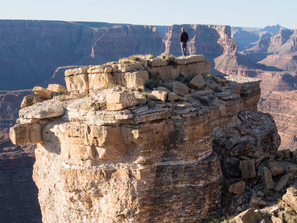
Just
after sunrise, Rob went out to one of the pinnacles to get a
better view of the canyon.
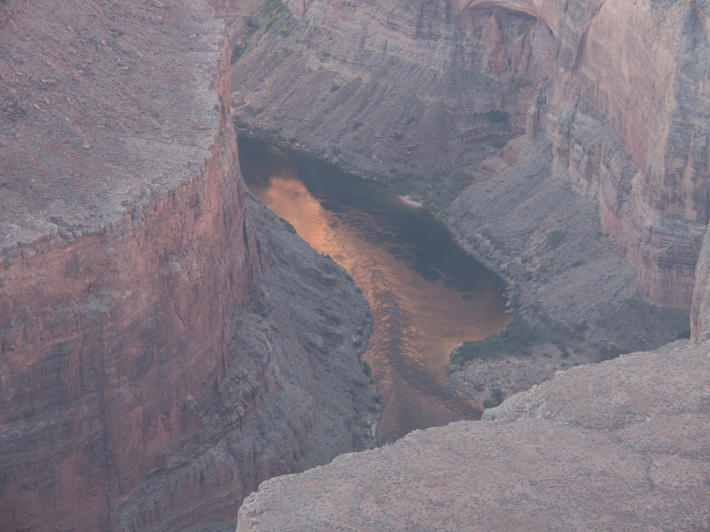
Looking
south from our camp we could see the Colorado River. Every
side canyon produced a rapids due to debris washed down during
rains.
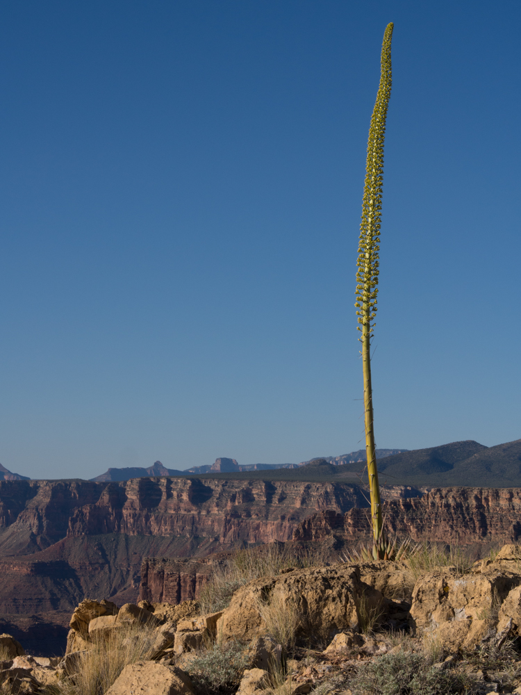
The
upper plateau was pretty much devoid of interesting trees, save
this yucca cactus preparing to bloom.
We broke
camp and headed toward another lookout point.
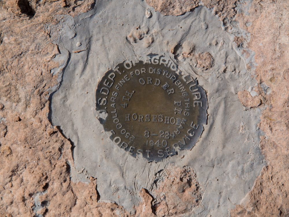
No
elevation on this benchmark, only the date, a name and a
location-quality indicator (fourth order).
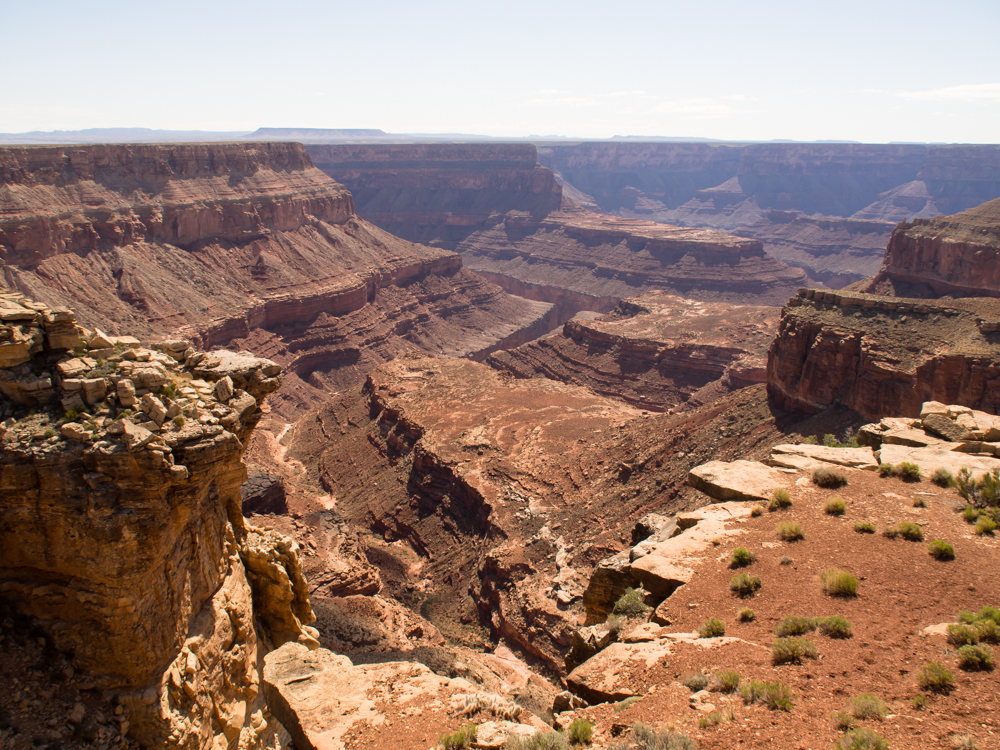
The side
canyon visible from the viewpoint was awesome.
Once
everybody got their photos, we loaded up for the 30 miles to
US89 and Vermillion Cliffs.
On the
exit from the area, we got a good view of the Kaibab monocline
that forms the north rim of the Grand Canyon.
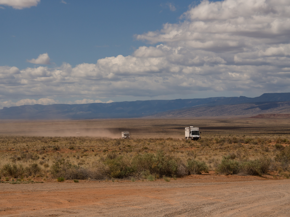
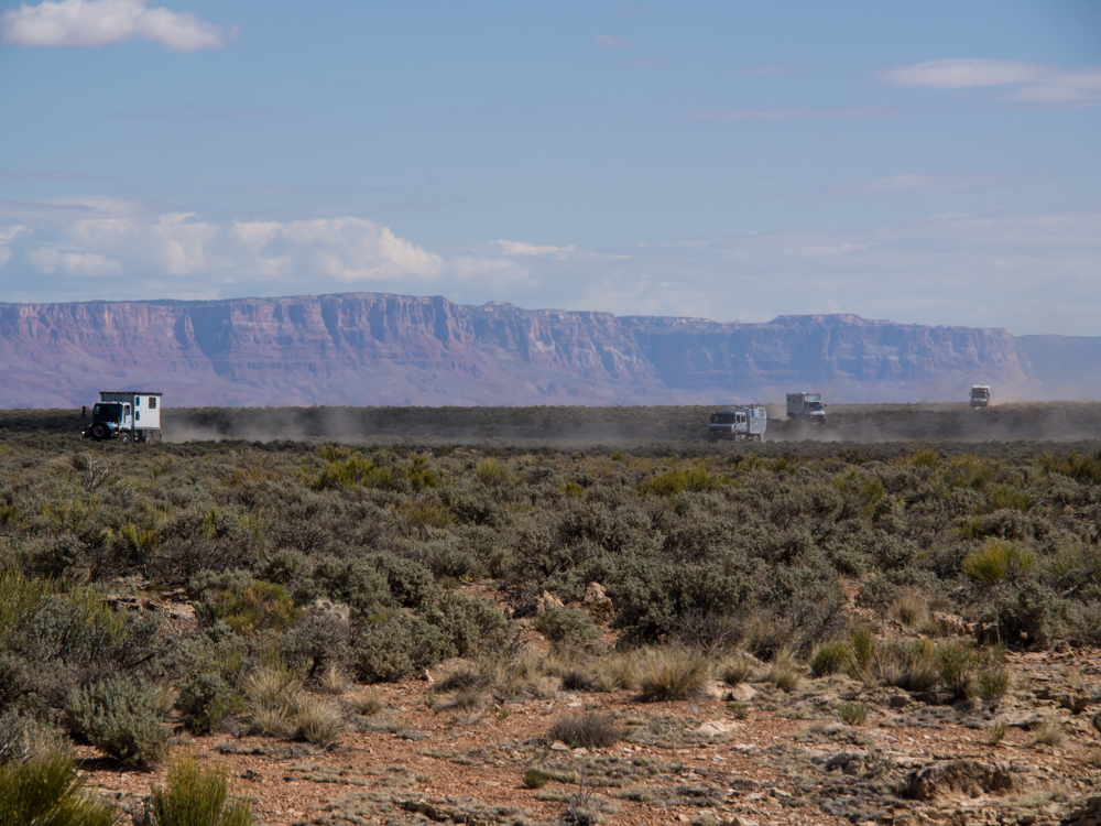
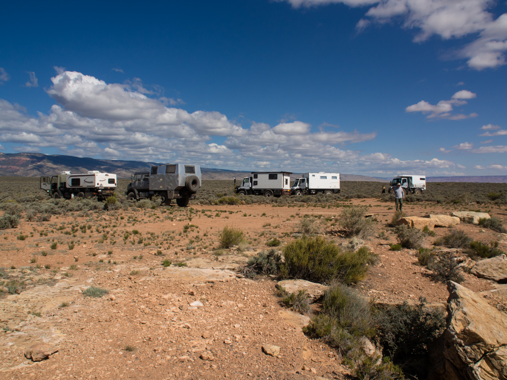
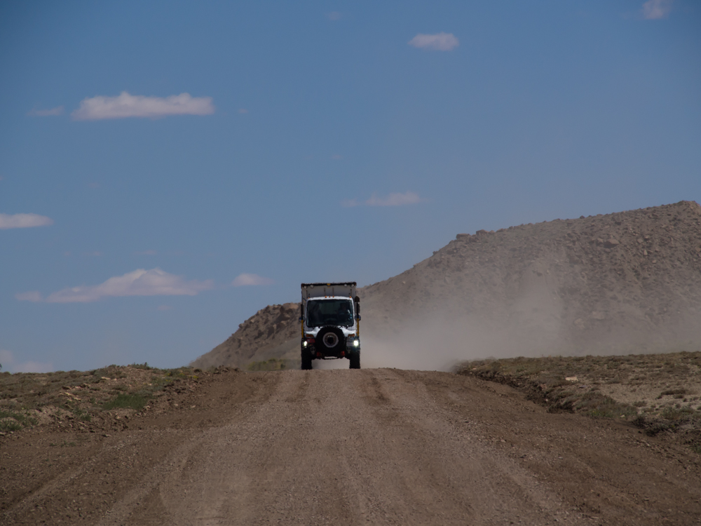
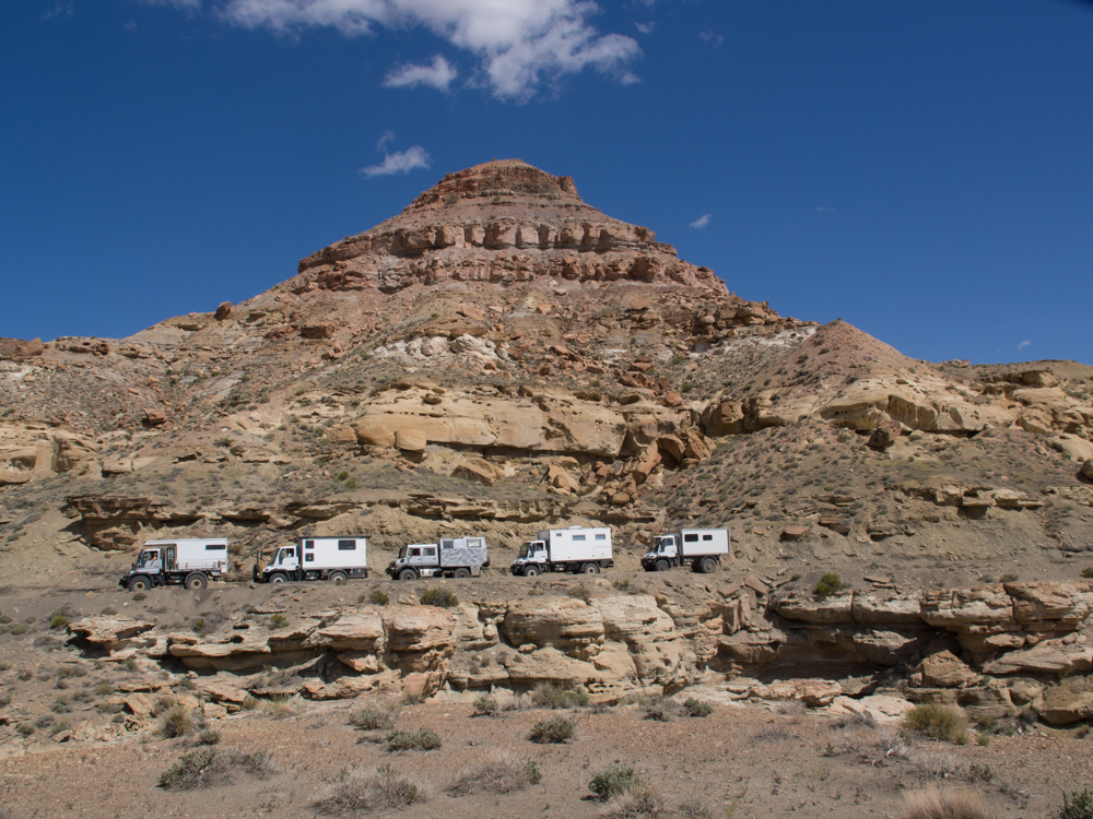
Thor led
the path back to the highway and from the turnoff we got a view
of the other trucks approaching.
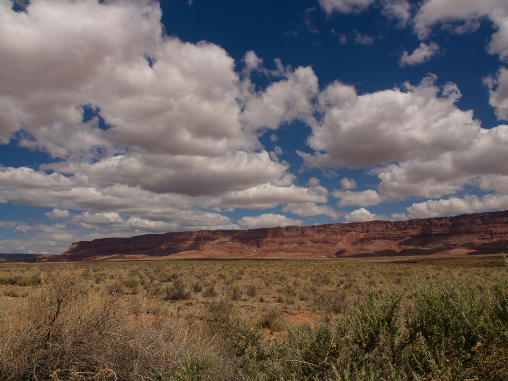
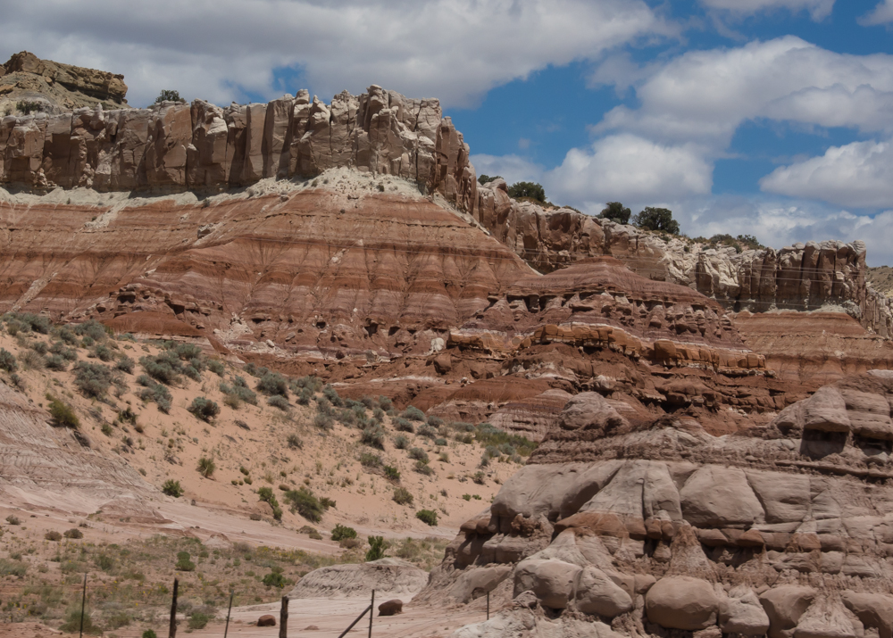
The
Vermillion Cliffs are worthy of their name and are many, many
miles of brilliant, deep-hued walls glowing in the bright
sunlight.
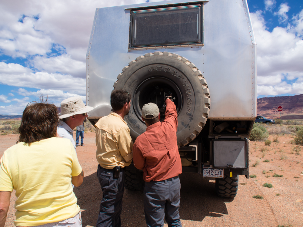
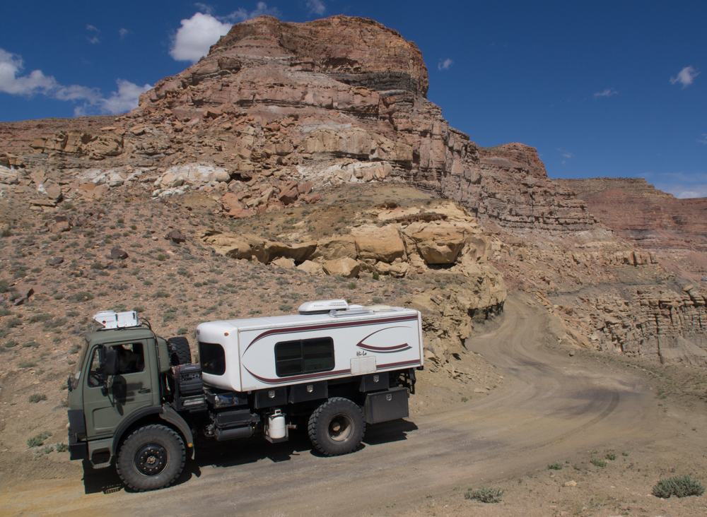
Rob's
2450 camper was "custom made" by some German fellow but he did
not think through the tire mount frame. Rob had to
repeatedly tighten the nuts that hold the wheel in place.
An easy fix with a welder and some 2x2 inch steel tube, and we
did not have either.
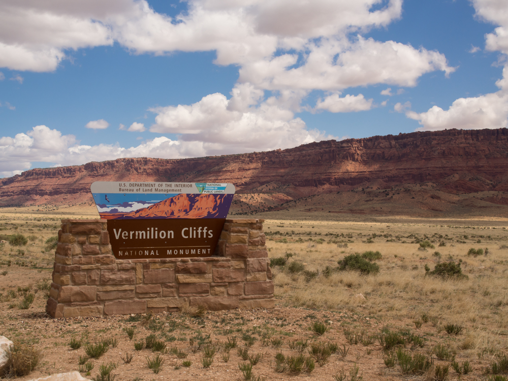
We
turned north on the dirt road that leads through the Vermillion
Cliffs area.
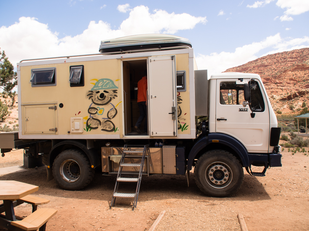
About 20
miles into the Vermillion Cliffs trail we came on a campsite and
lo and behold there was another 1017. This couple, Elke
and Axel, are from Germany and have "been out since 2006".
They have a very nice camper and travel with their son.
Unlike Thor, their truck is not a 4-wheel drive.
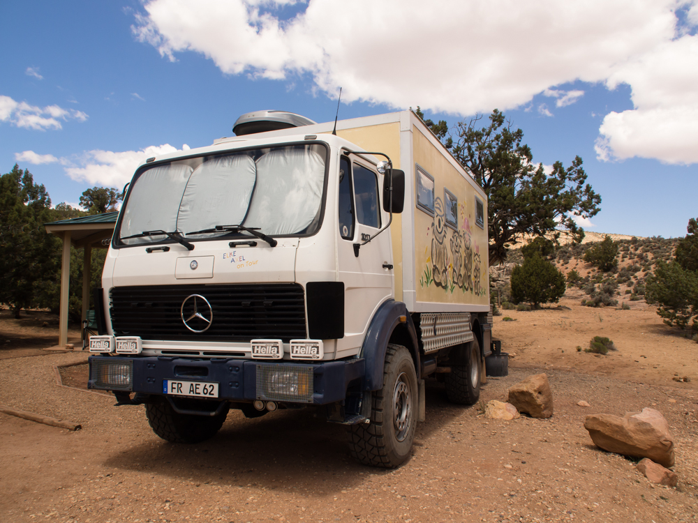
A front
look at their rig.
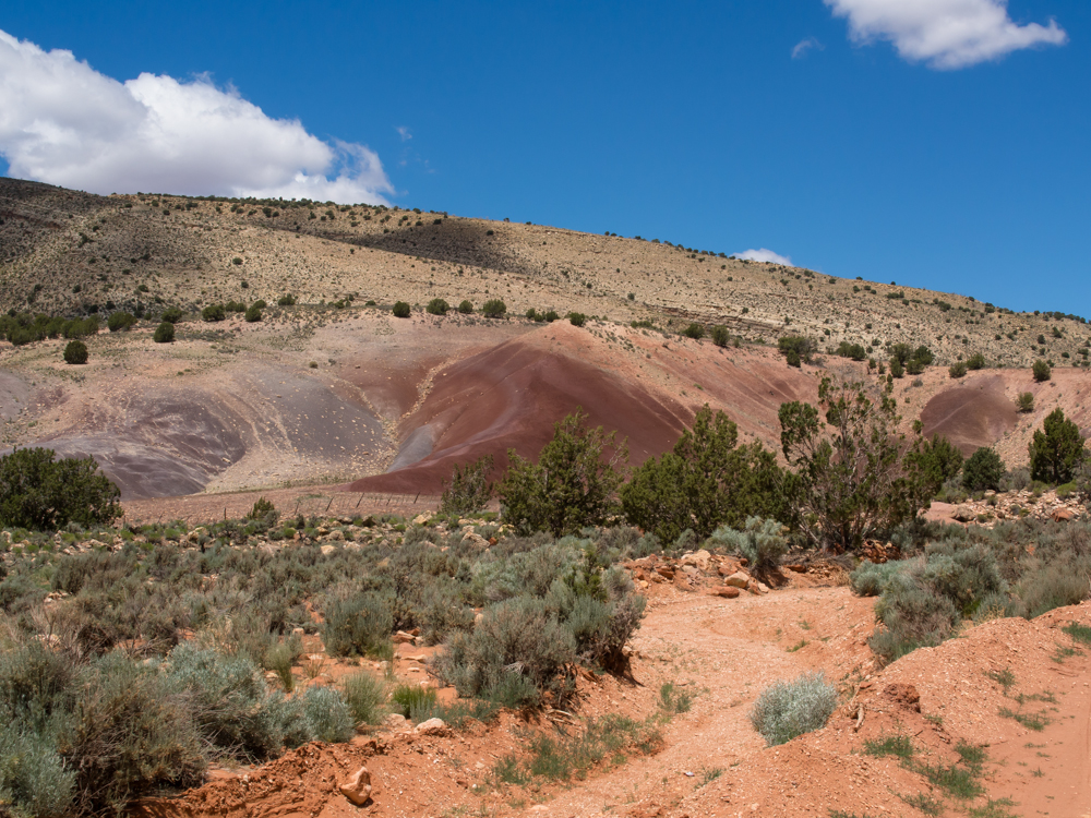
Further
through the Vermillion Cliffs area, we came upon these brightly
colored hills.
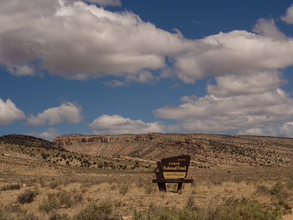
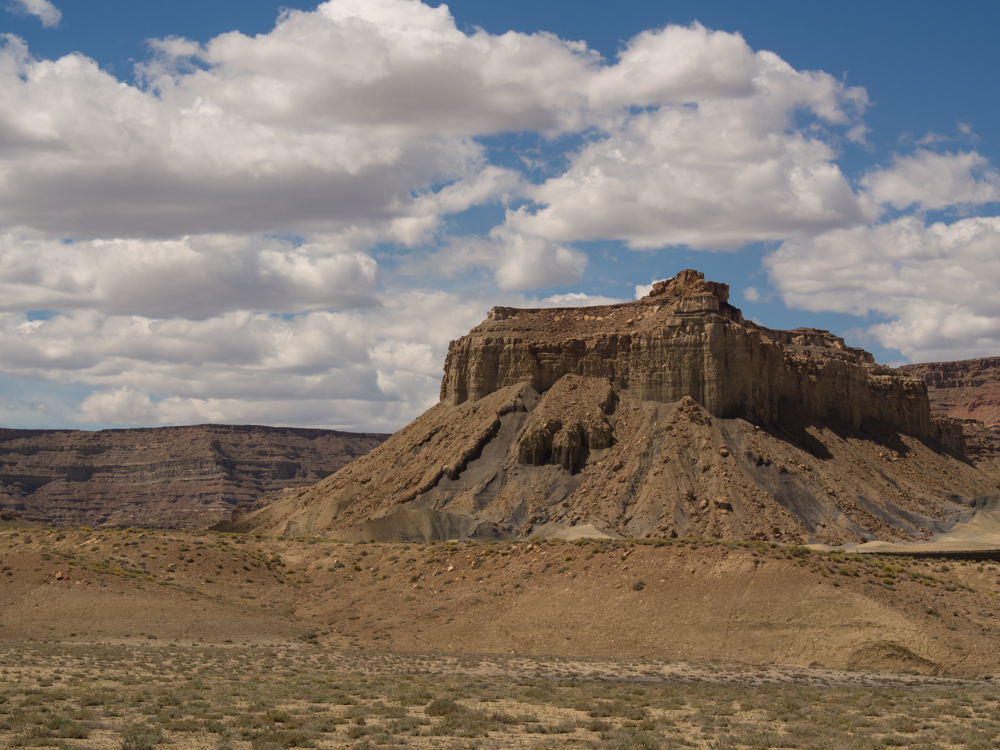
From the
Vermillion Cliffs, we headed east to Big Water to meet up with
Al and Claudia from San Diego in their U500.
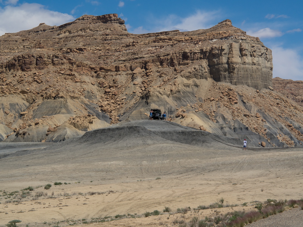
After a
fuel stop in Big Water, we headed into the Grand Staircase
area. Notice the Land Rover on the top of the mud
hill. Not true four wheeling in my mind, but if it makes
him happy....
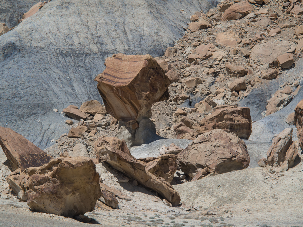
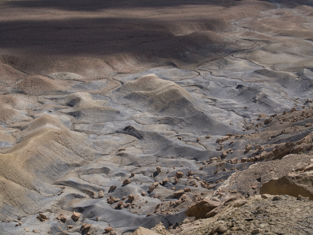
There
were interesting balanced rocks at the base of some of the
cliffs.
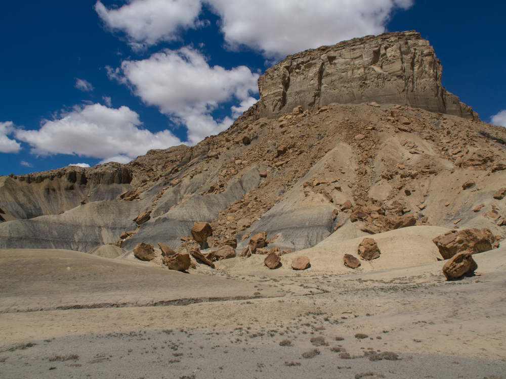
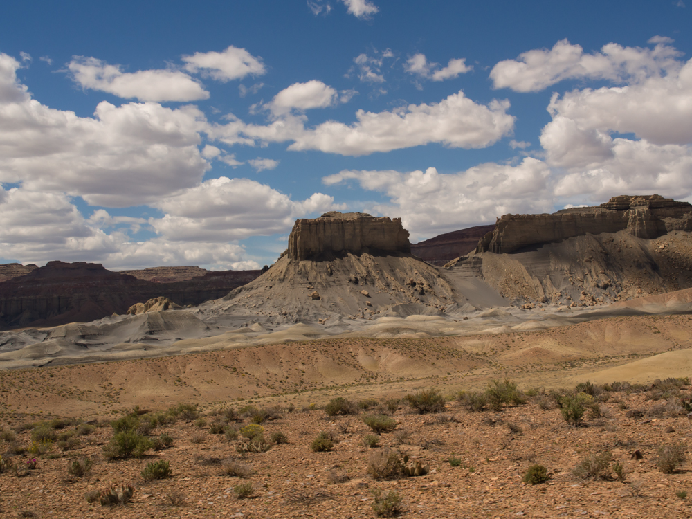
The dark
layers are coal seams and the coal produced interesting shades
of gray in the strata.
We did a
bio-stop and Vince approaches us from the south.
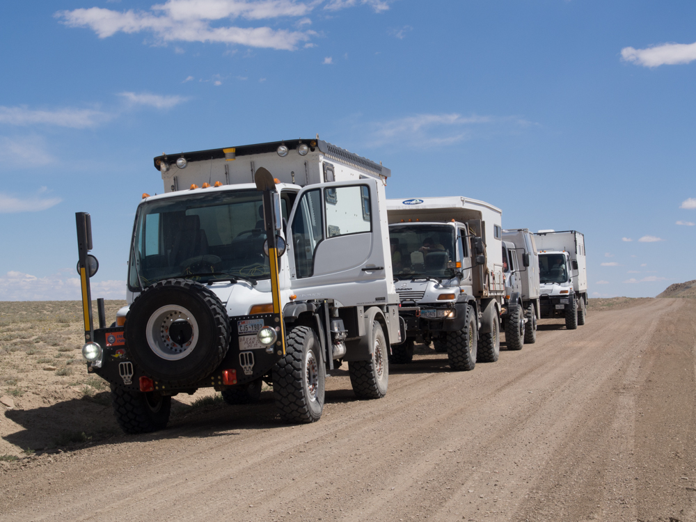
Once we
got everyone in the same place, we discussed exact paths to
travel and destinations and then headed out
The
cliffs along Smoky Mountain road are breath-taking.
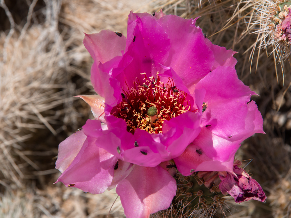
I
spotted a small cactus that was in bloom and being worked over
by the insects.
A shot
from the cab while in motion heading up the steep grade on Smoky
Mountain.
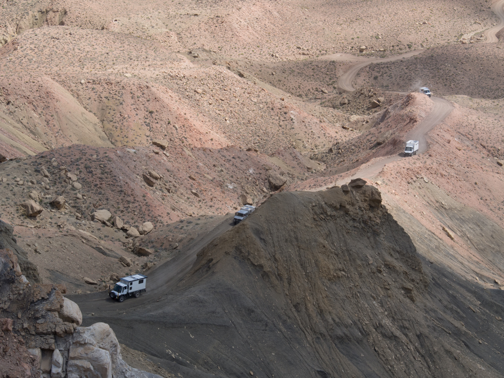
When I
hit a safe point, I could see the balance of the group before
they hit the steep portion of the road.
From the
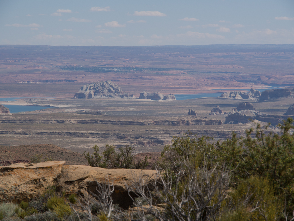
top of the mesa, we had a commanding view of the valley.
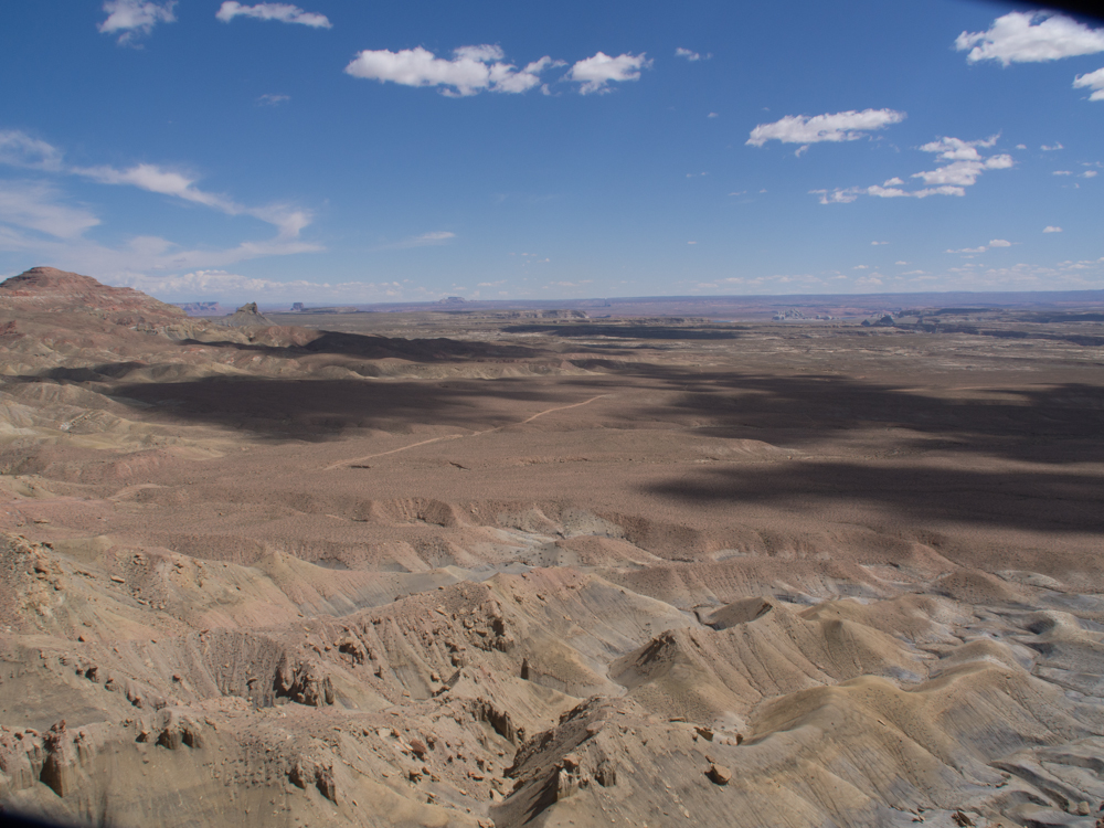
Smoky
Mountain road is visible as is Lake Powell in the distance.
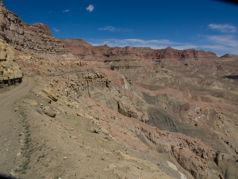
The
cliffs of the mesa were very steep and intolerant of a mistake
on the part of a driver.
The
first crest.
Near the
first crest, a switchback allowed me to shoot a photo of the
balance of the members of the group.
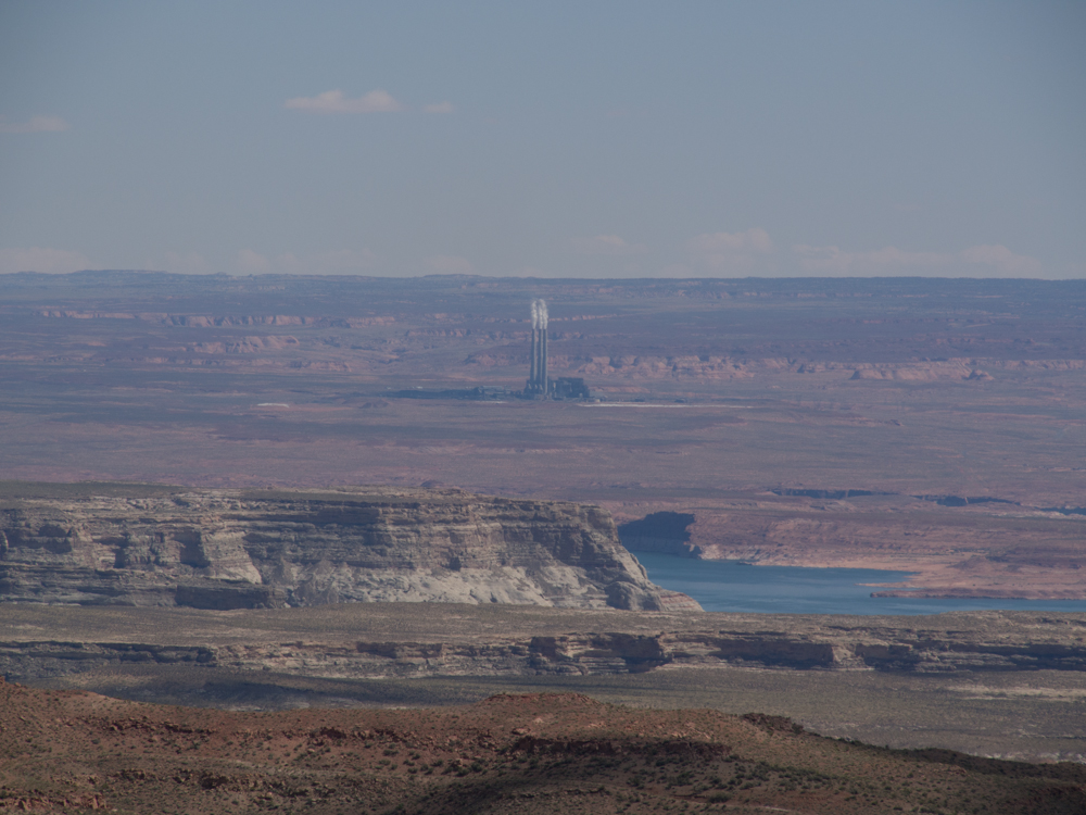
From the
top of the mesa, we could see the Navajo Power plant near Page,
AZ. Also visible is Lake Powell.
The
structure in the center of the photo above is Gunsite Butte.
The top of the mesa had unobstructed views in every direction.
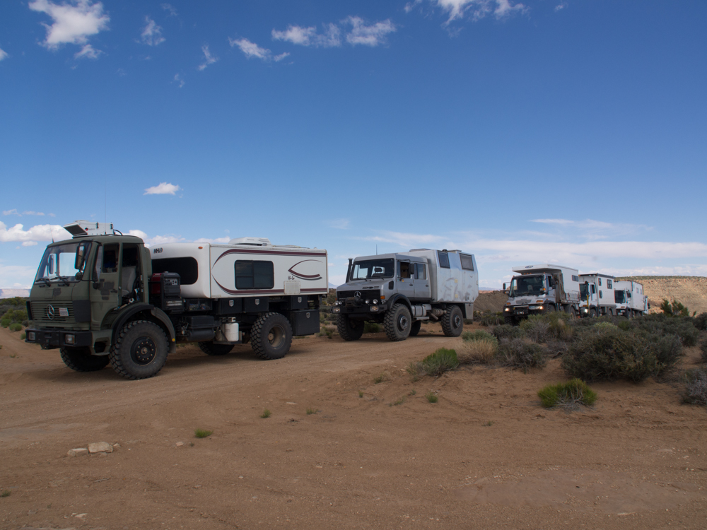
The
group decides on the
final camp location on the mesa.
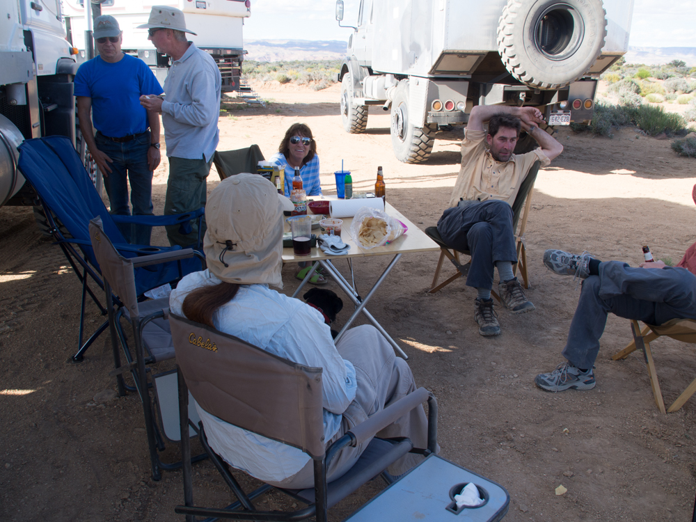
Cocktail hour begins
after we set up camp.
| Previous Adventure | ||
| Trip Home Page |
Photos
and Text Copyright Bill Caid 2013, all
rights reserved.
For your enjoyment only, not for commercial use.