NOLA
was a great time, as always. We had a great dinner in the
French Quarter having the "usual" Cajun cuisine. Next morning, we
broke camp and left the French Quarter and headed north toward the
Natchez Trace trail.
The photos below are what we saw.
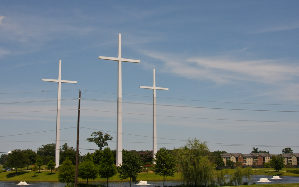
As
we went north, we were reminded that we were in the "bible
belt". We passed these crosses next to the freeway outside
of Baton Rouge.
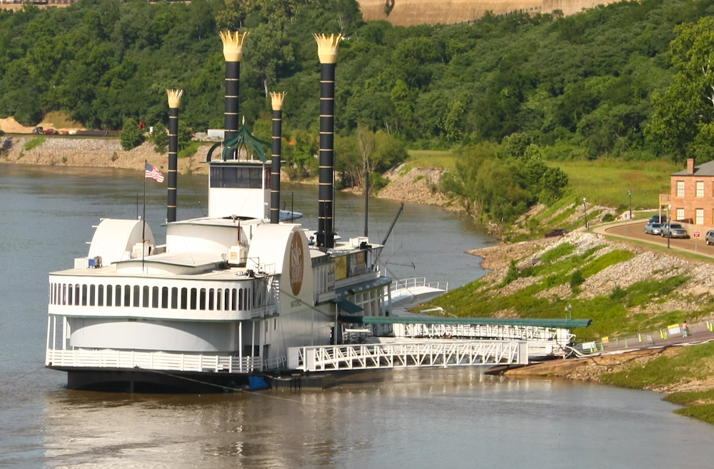
We
traveled "normal" highway to get to the Natchez area. As we
cross the Mississippi river, we got a view of this casino housed
in a faux riverboat.
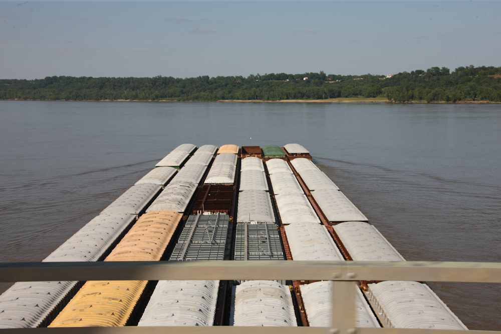
From
the bridge, we got a topside view of a huge barge being motored
upriver.
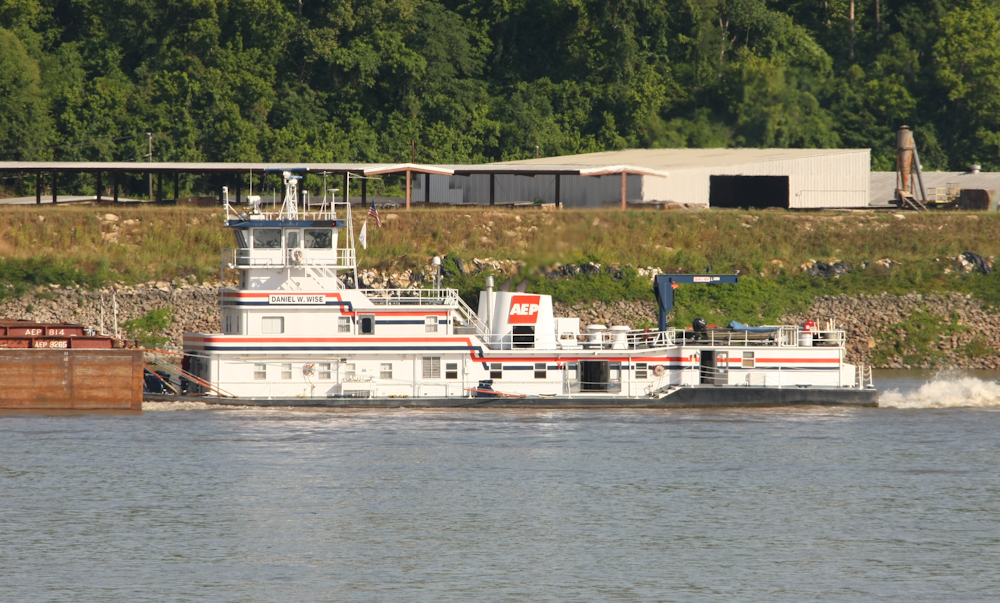
The
tugs used to push barges are very powerful. Note the fantail
currents from the prop.
We
camped on the Louisiana side of the river in Vidalia, LA.
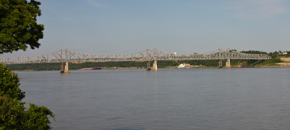
From our camp we could see the double bridges that span the river
and connect Vidalia, LA and Natchez, MS.
We
decided to explore Natchez and went to the riverside area of
Natchez.
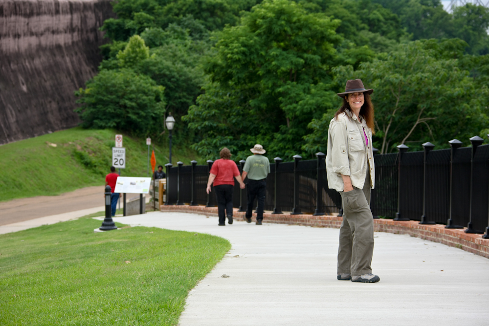
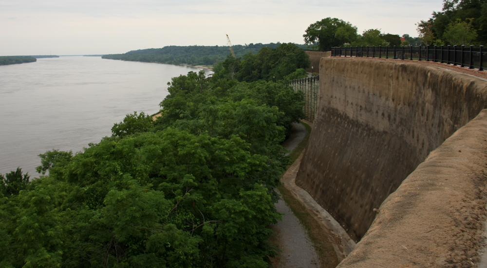
The
path to Natchez-under-the-hill went down the cliff face. I
got Kathleen to pause and pose.
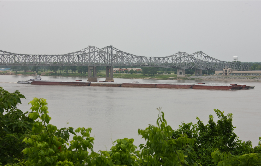
From
the top of the hill, we could see more barges working their way
upstream. This barge is in a 6x6 configuration: 6 wide and 6
deep.
From
Natchez, we headed north on the Natchez Trace. The original
Trace trail was the path that boatmen in the early 1800s used to
walk home from Natchez to Nashville. In the early days,
barge travel was one-way only: downstream. There was no
method of fighting the current and going upstream. So, goods
were shipped downstream and the barges were dismantled and sold as
raw materials. The crews then walked upriver and repeated
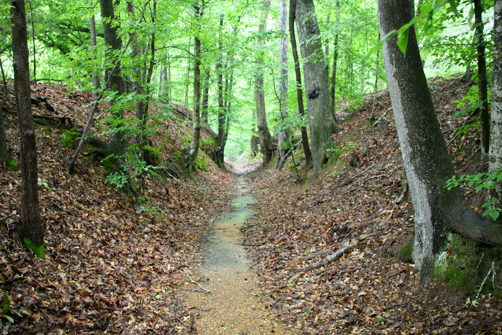
the cycle. The Trace was traveled so heavily that the path
turned into a trench that remains today.
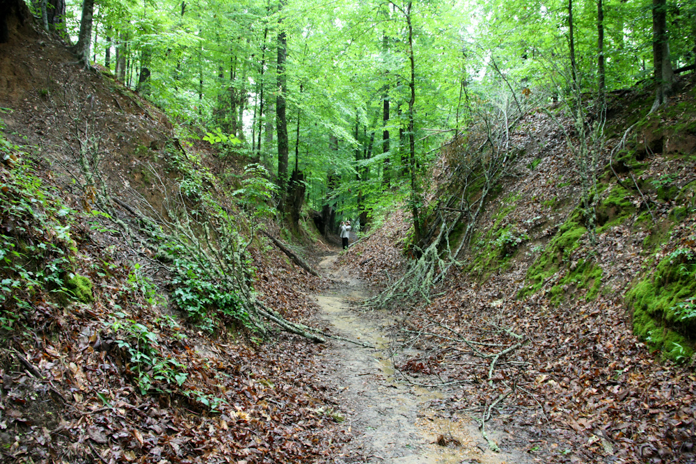
To
get a sense of scale, Bob is in the center of the photo
above. The sunken Trace is quite a sight and is visible from
many points on the Natchez Trace road.
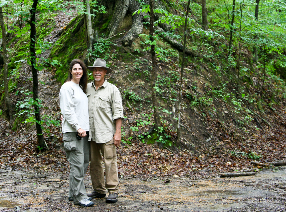
Bob
got a photo of Kathleen and I in the sunken portion of the Trace.
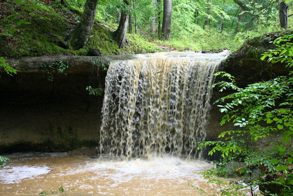
The
previous night, we had a large thunderstorm with plenty of
rain. The runoff from the storm caused the otherwise dry
Owen's Creek to run strong resulting in this waterfall visible
from the Trace.
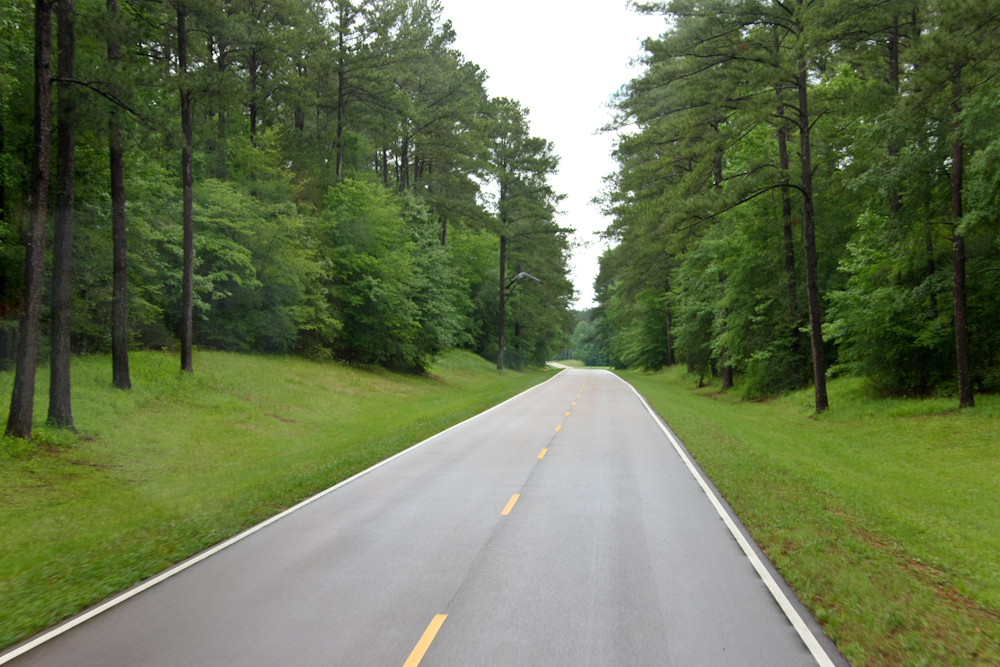
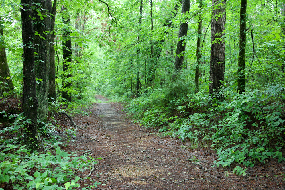
The
Trace is a beautiful drive with lush green grass and dense brush
along the road.
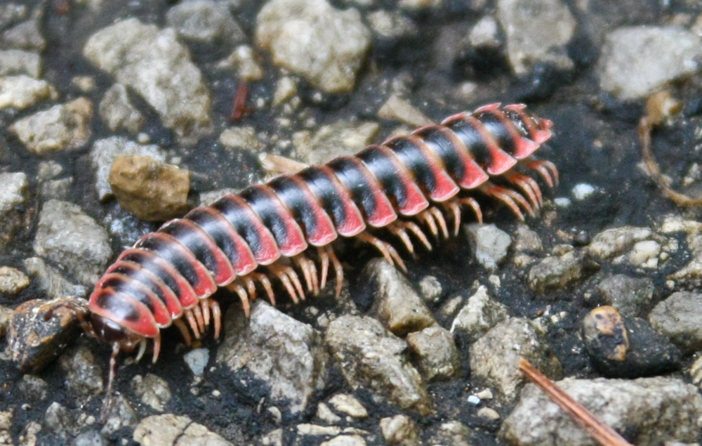
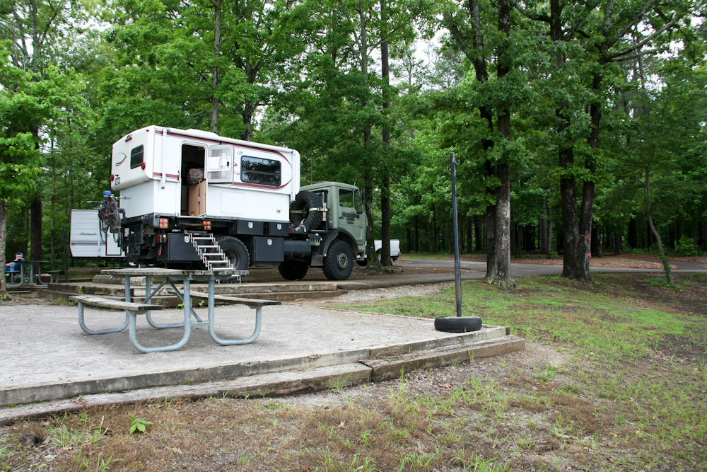
We
chose a campsite that was part of the Trace. The camp was
simple but adequate. There was more rain overnight and the
rain brought out this odd centipede. I had never seen one
that was red and black.
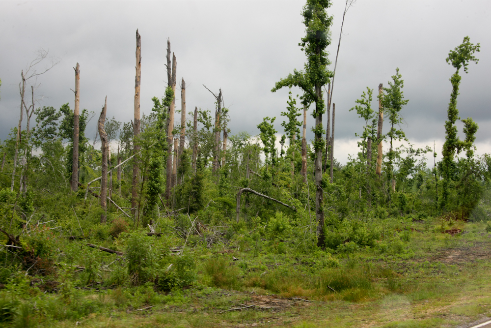
Next
morning, we broke camp and continued north. A short distance
north of our camp, we passed an area that had been flattened by a
tornado the previous year. The damage was impressive.
The
damaged area ran for miles and the path of tornado appeared to
parallel the trace. I cannot imagine the forces created the
damage.
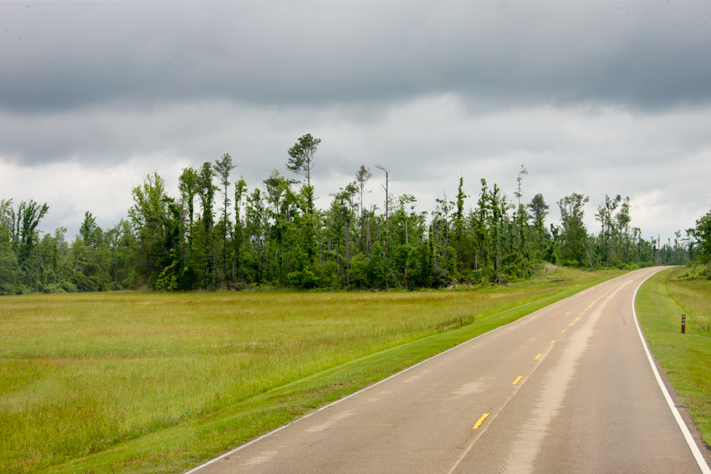
The
path of the Trace is still used today as a hiking trail.
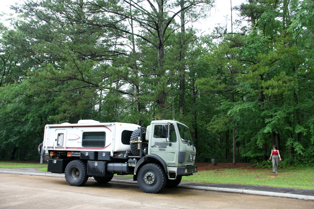
At
one of the pull-outs, I took a photo of Thor.
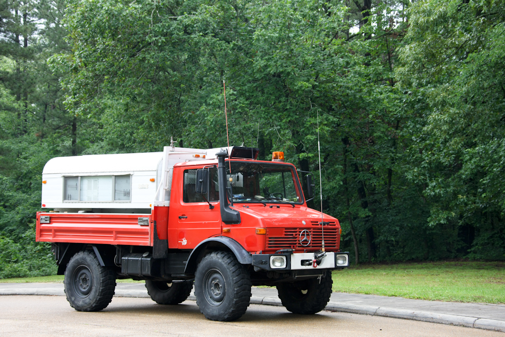
The
bright red color of Bob's 1300L provided a nice contrast to the
vivid green of the surrounding forest.
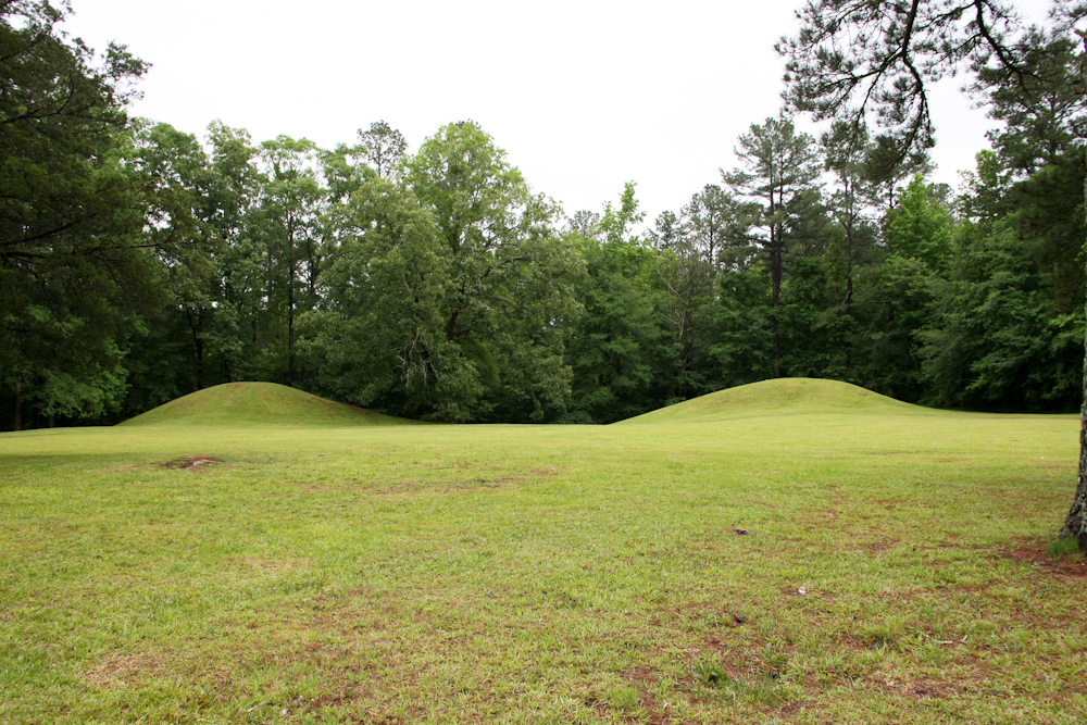
Further
north on the Trace we came on some indian burial mounds.
There were a number of these sites along the trace.
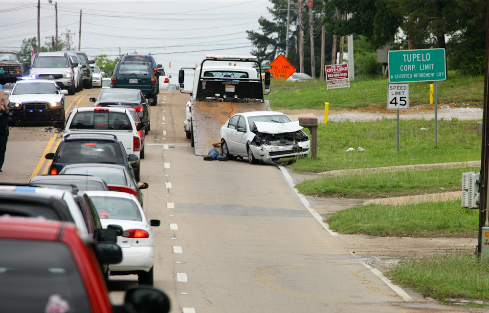
We
traveled north to Tupelo, MS and came upon this 2-car accident
site. It is not clear what caused the accident, but since
the other car was hit from behind, I have to assume that a cell
phone was involved.
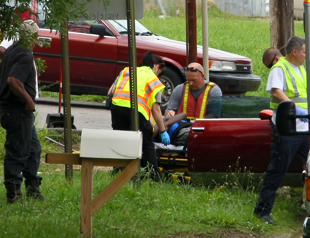
One
of the occupants of the front car was carried off to the hospital
in a cervical collar.
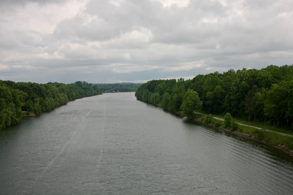
North
of Tupelo, we crossed over the Tennessee-Tombigbee waterway.
This was a barge route that was dredged in the 1970s by the Corps
of Engineers.
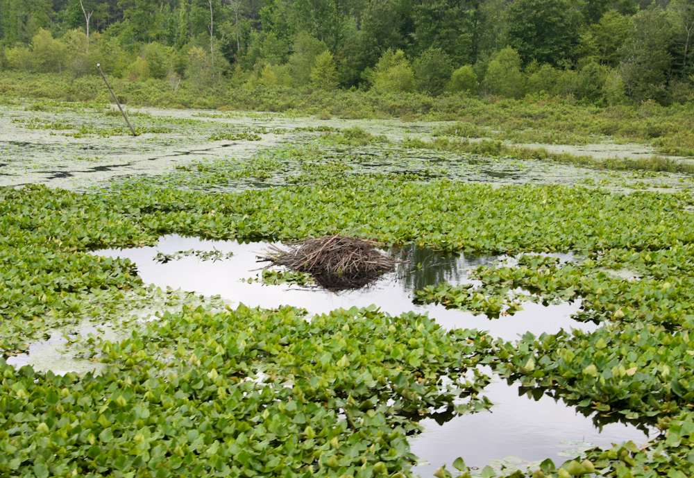
We
took an exit off the Trace to look at the canal. From the
exit ramp, we saw this beaver house built in the middle of the
swamp.
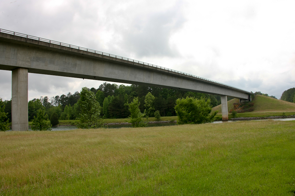
The
bridge over the canal was impressive and quite long.
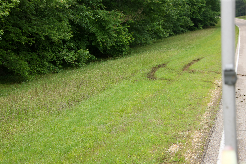
We could not get a view of the locks on the canal from the turn-out, so we re-crossed the bridge to get a photo. After a photo or two, we had to turn around. As part of the turn, we got our rear wheels off the road. The previous night's rain left the ground saturated and soft. We were spinning the wheels like crazy when we hit the clay-based mud. We left some pretty good ruts as part of our passage.
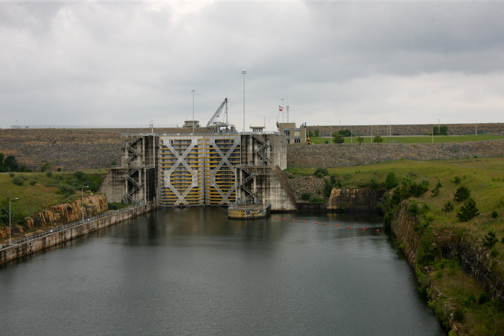
The
locks on Bay Springs Lake were nearly 100 feet high. The
lake provide the water for the locks.
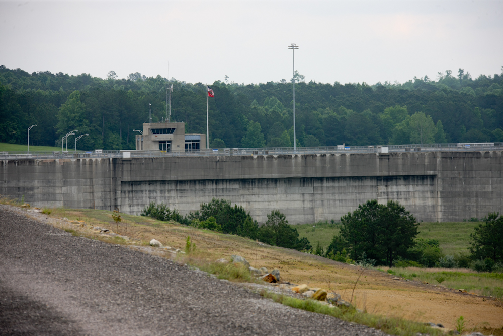
The
lock control tower was built out of poured concrete.
We
got a nice camp at the Piney Grove campground.
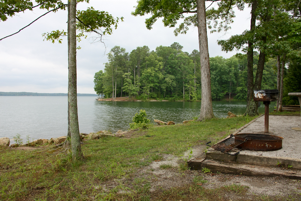
Our
campsite had a great view of Bay Springs Lake.
| Previous Adventure | ||
| Trip Home Page |
Photos and Text Copyright Bill Caid 2012, all rights
reserved.
For your enjoyment only, not for commercial use.