From
Tecopa Hot Spring, we traveled north into Death Valley, then
directly onto the dirt. Our path would take us through the
canyons into Butte Valley.
The photos below are what we saw.
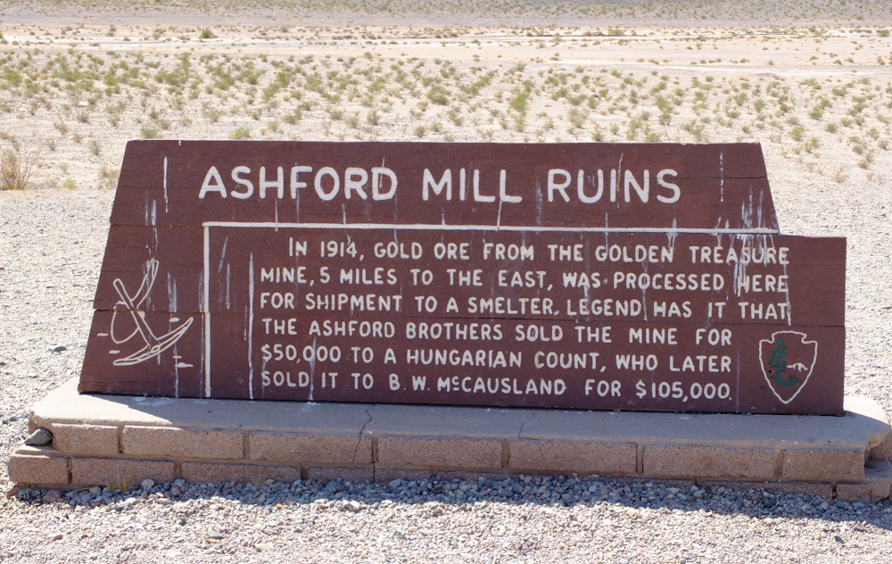
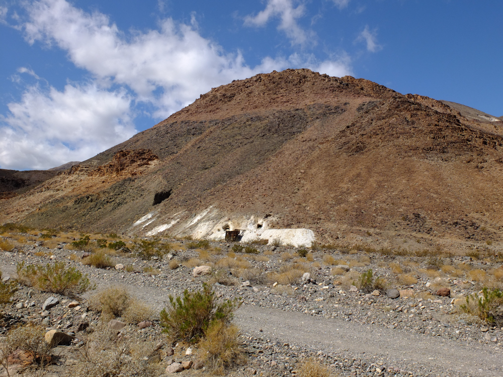
Our
path took us past the Ashford Mill ruins. The text in the
photo above tells the story.
There
is not much left of Ashford. But, given the remoteness of
this place, it must have been hell working here "back in the day",
particularly in the summer.
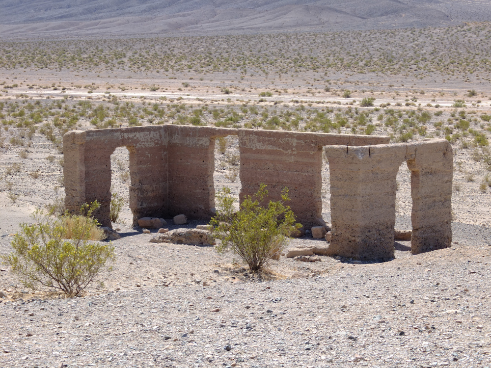
Ashford
has a nice view of the Panamints.
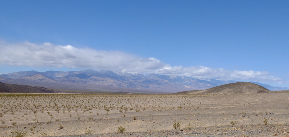
The
snow on the Panamints was clearly visible. And, due to the
elevation of the range (11,000 feet), it creates its own weather.
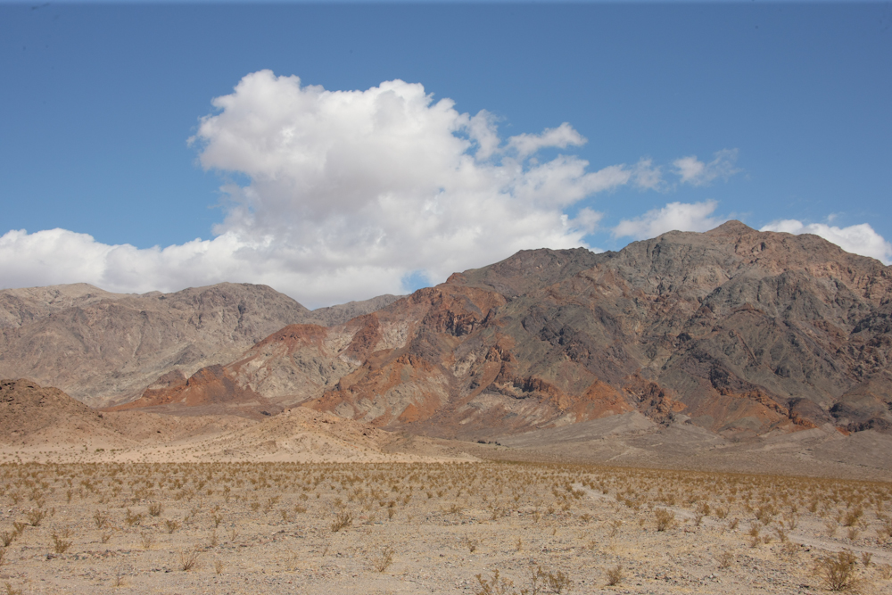
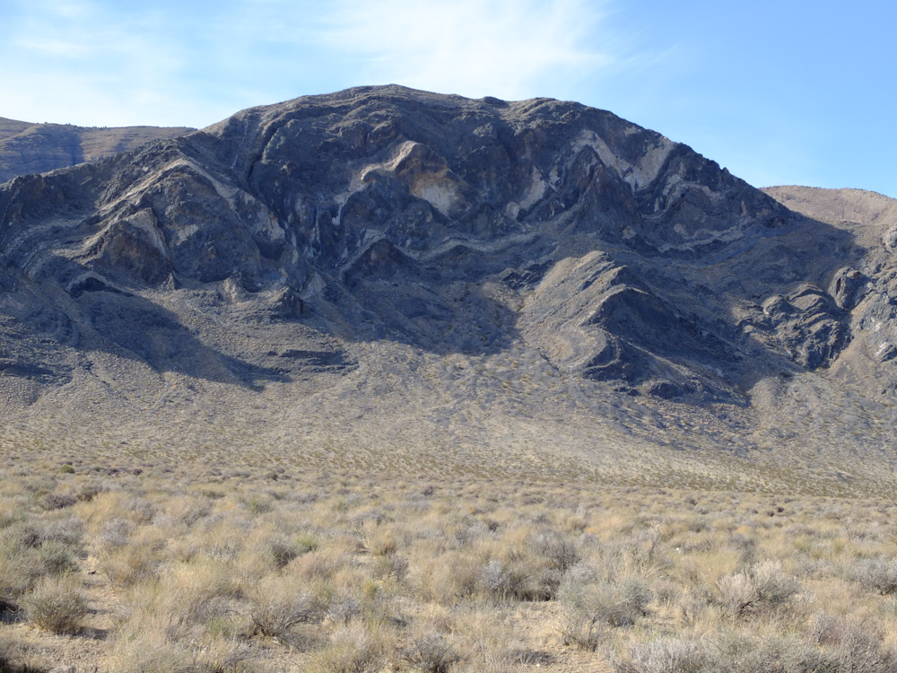
The
gold for the Ashford mill came from this range. Note the
colors due to the mineralization.
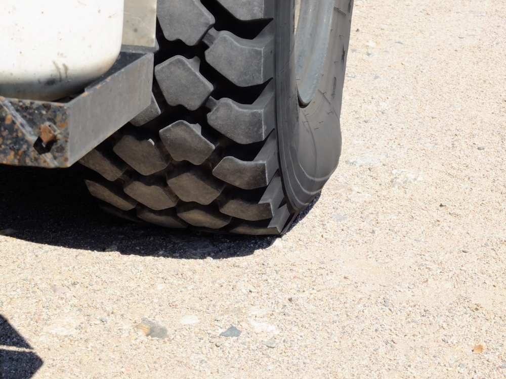
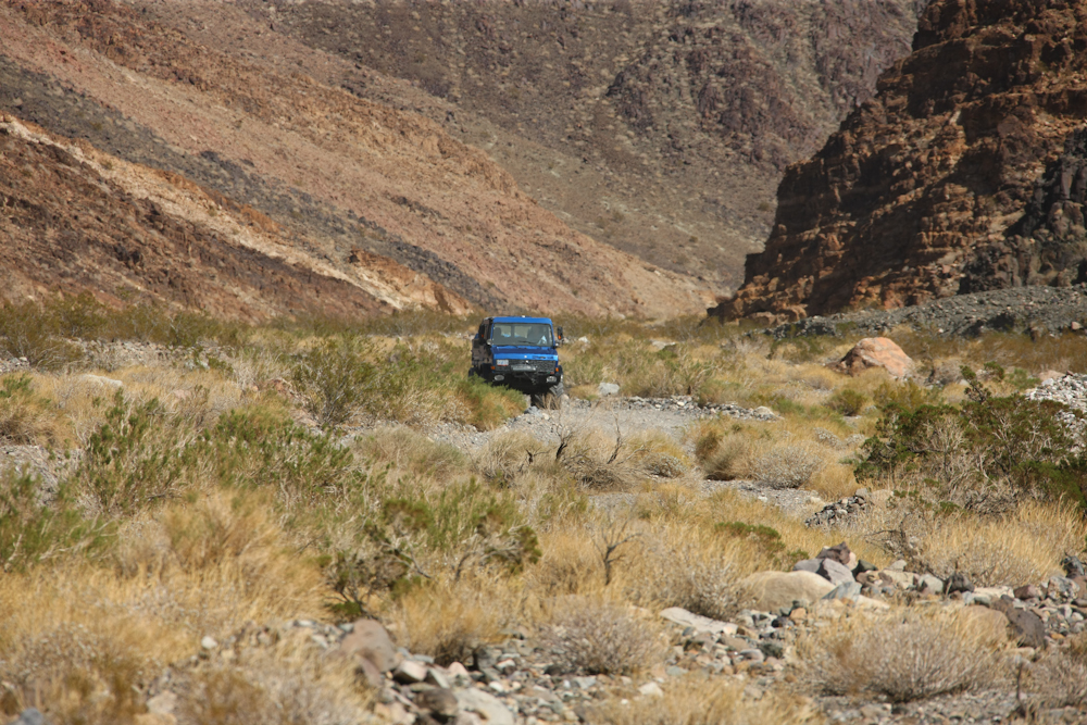
The
trail into Butte Valley is washboarded and rutted and required
reduced air pressure for a tolerable ride. Note the flex in
the sidewalls in the photo above.
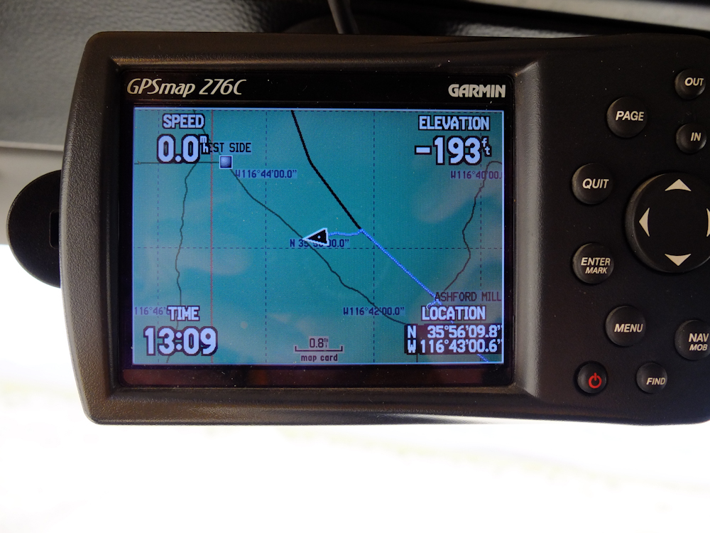
Near
the start of the Butte Valley trail, our elevation was below sea
level. -193 feet is not the lowest point in the valley; that
is -282 feet in Badwater.
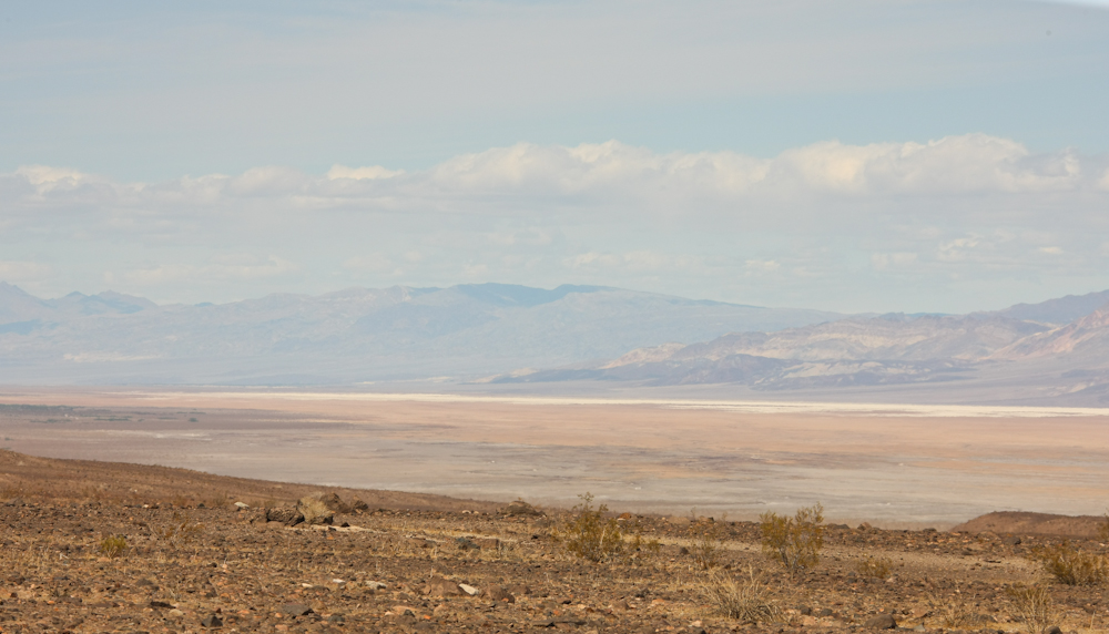
From
the Butte Valley trail, we had a view of part of the dry lake in
Death Valley.
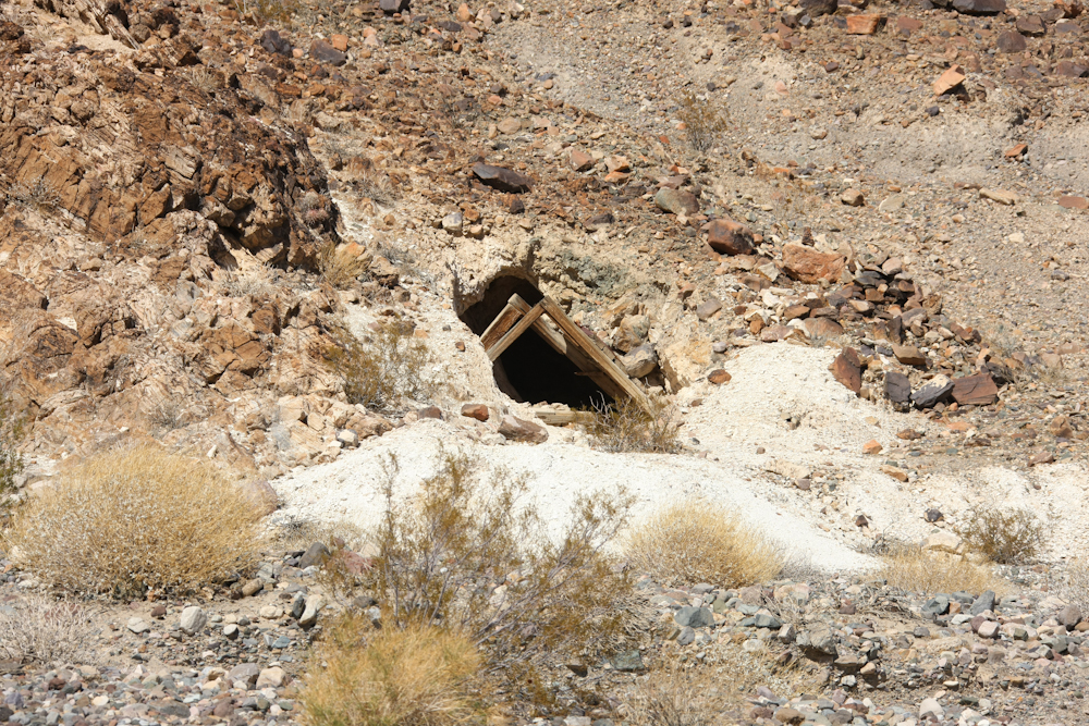
Further
up the canyon, we started to encounter abandoned mines. This
appears to be a talc mine.
We
found a spot for lunch and Roberto was just a short distance
behind us.
Across
the canyon from our lunch stop were more mines.
Kathleen
raised the top and made sandwiches.
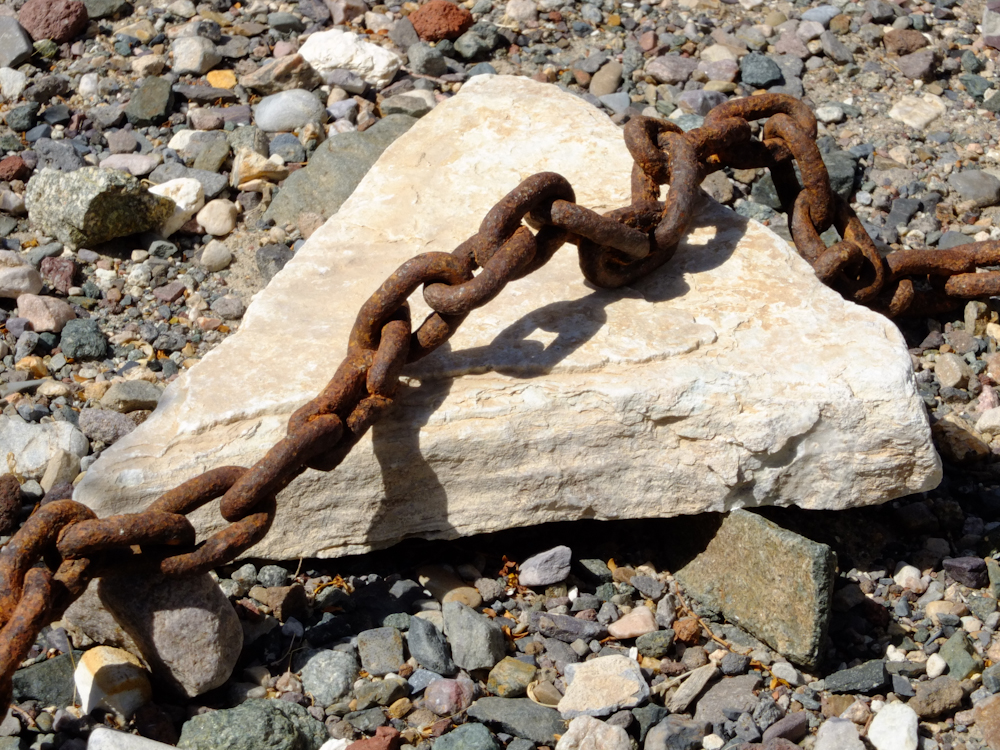
While
we were eating, we spotted this abandoned chain that was used in
the mine. The chain has been out in the elements so long
that the links rusted together.
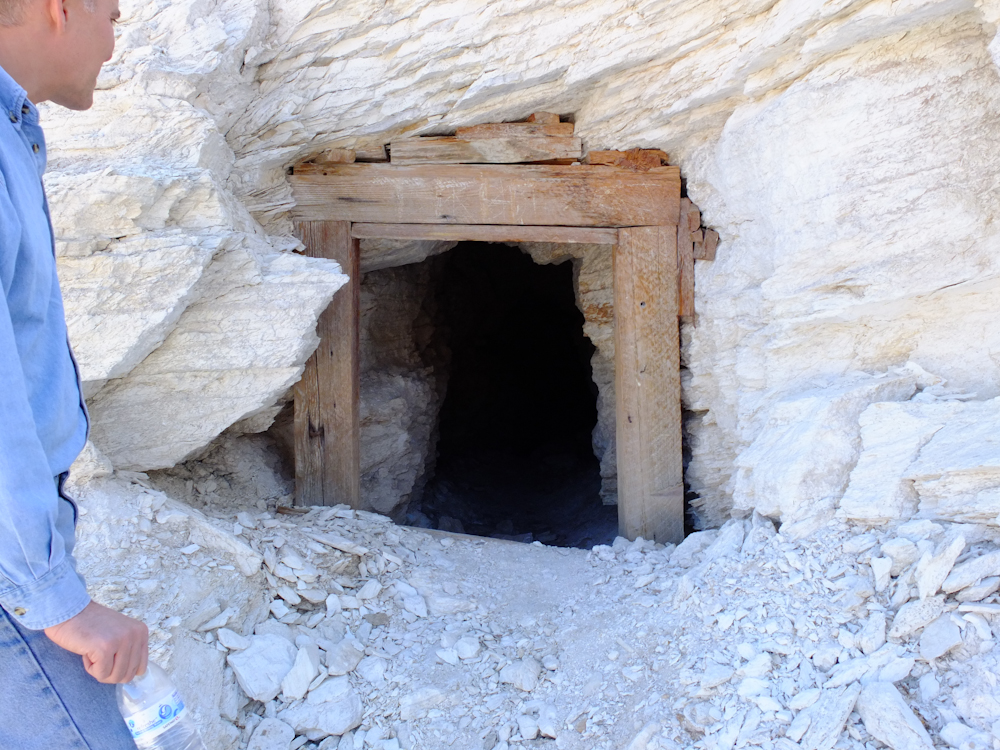
Roberto
inspects one of the entrances to a talc mine.
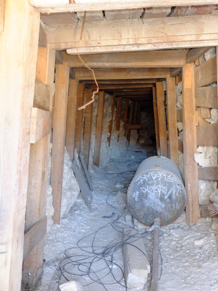
One
of the other entrances was open and when I went inside I noted
that the rear portion of the tunnel had collapsed.
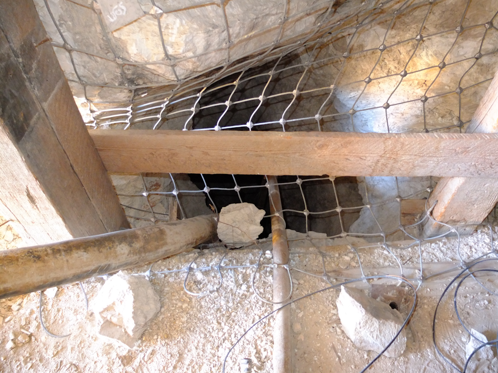
At
our feet was a shaft that provided a passage for compressed air
and water to the lower levels of the mine.
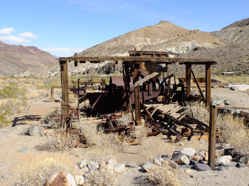
Further
up the mine we encountered an abandoned rock crusher.
A
detailed view of some of the equipment.
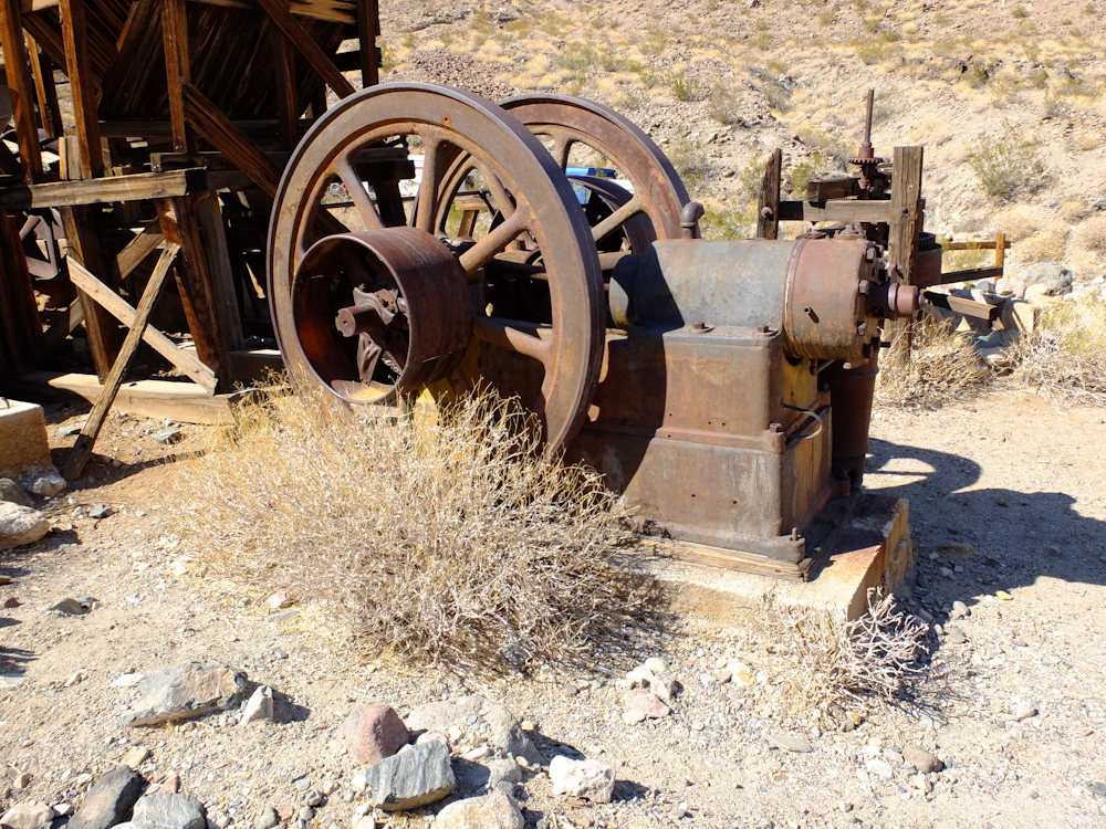
Steam
provided the power for this mill. The engine is in the photo
above.
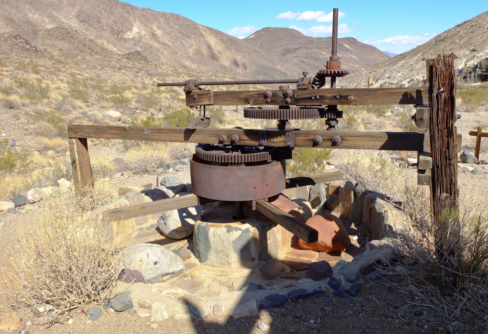
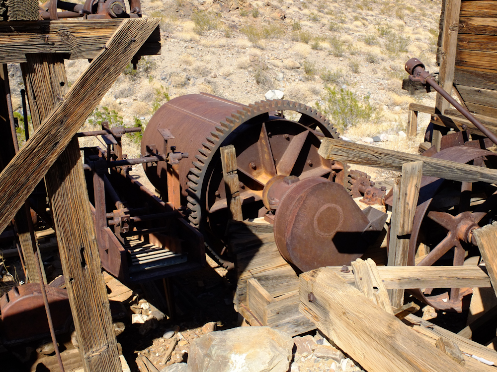
One
of the pieces of equipment that was powered was this
arrastra. The power came in via the shaft on the top, then
went to the assembly below through a set of reduction gears.
The arms drug the large boulders on the floor via chains or
cables. Note that the boulders are worn flat. The
boulders were pulled in the trough thus grinding the ore into
powder.
Higher
in the canyon we spotted wild burros left over from the early
prospectors. The have bred prolifically and they are
over-grazing the hills.
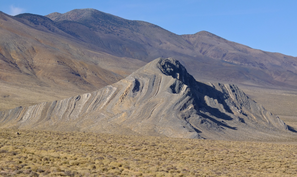
Kathleen
got this shot of Striped Butte as we drove past.
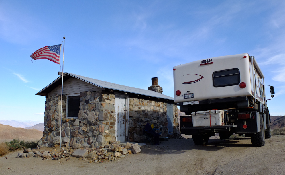
We
crossed Butte Valley and spotted a prospector's shack on the
hillside, so we went to investigate. On the way there, I was
thinking of staying there, but upon arrival we discovered that
there were personal belongings inside, so instead we just looked
around. Above, Kathleen investigates something dripping from
our cargo.
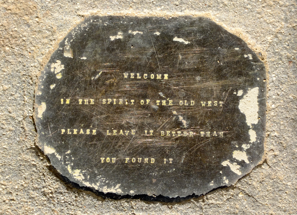
I
spotted this plaque on the entry steps to the shack.
The
shack provided a great viewpoint for understanding why Striped
Butte got its name.
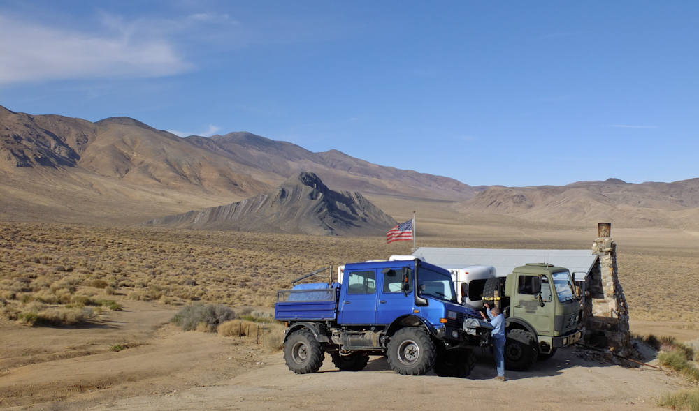
We
checked out the area briefly before heading for Willow Springs.
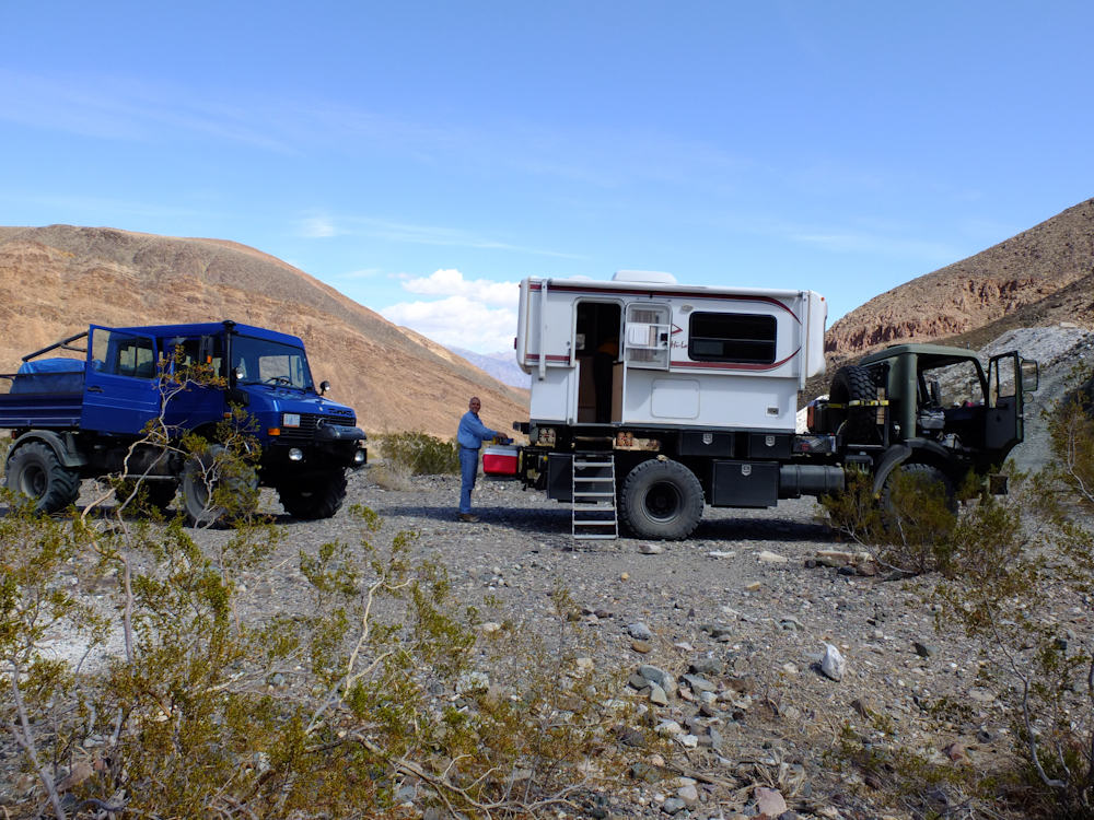
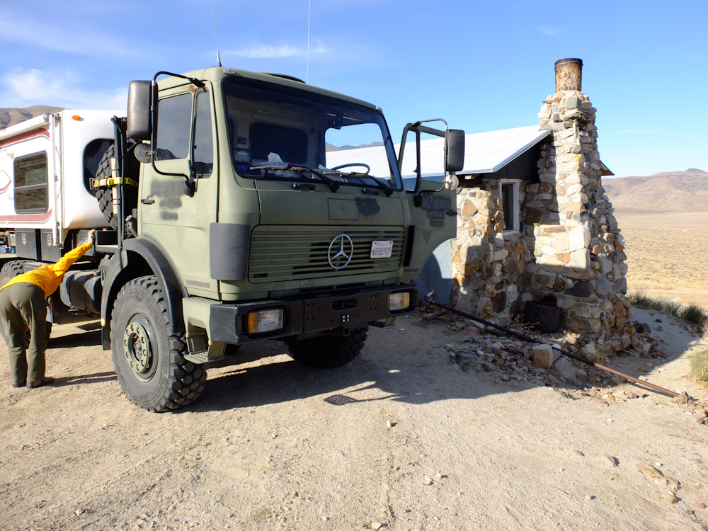
The
shack was small. Compare the shack to the camper on Thor.
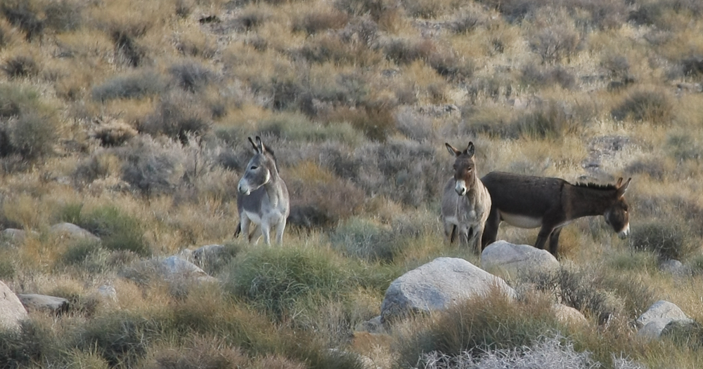
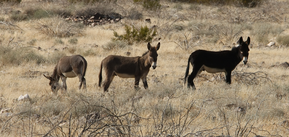
Near
Willow Springs, I spotted these wild burros, clearly listening to
the sounds of our approach.
| Previous Adventure | ||
| Trip Home Page |
Photos
and Text Copyright Bill Caid 2012, all rights reserved.
For your enjoyment only, not for commercial use.