The first part of our journey was to travel from San Diego to my parent's home in Tucson, AZ where we stayed for a night and visited and generally caught up. From Tucson, we headed north to Oracle, AZ to visit another life-long friend and find out what is going on in her life. From Oracle, we headed south along the San Pedro river to the east of the Santa Catalina and Rincon mountains until we hit I-10. We then took I-10 east to Mesilla, NM where we stay a night at an RV park near Old Town Mesilla. From there, we continued east on I-10 past El Paso and then on to Fort Stockton where we hit another RV park. From Fort Stockton, we continued further east on I-10 to our first recreational destination, Sonora, TX. Our objective was to see and tour the Caverns of Sonora and then stay at their RV park at the cave site. Once at the site, we would tour the cave and take photos.
The photos below are what we saw.
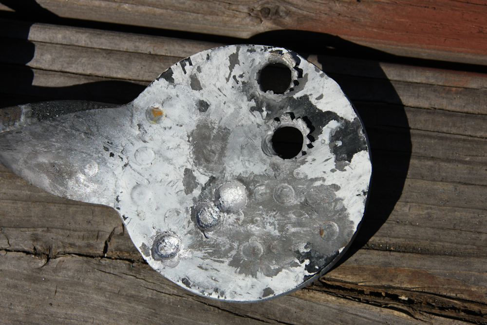
In preparation for our hog hunt, we had to insure that the weapons were sighted in and on target. Test firing before use is common sense as it might identify potential failures that may occur when you are in the field. For the sighting, I selected a pistol target made from 3/8 inch steel plate. We shot from 50 yards, about 150 feet from the target. Shots were taken from the kneeling position with a Winchester model 1895 .30/30 and from a .300 Savage Model 99. The .300 punched right through the plate while the 30/30 put some nice dents in the plate. The small dents are from my .45 ACP rounds. Our conclusion was that the rifles will perform acceptably well for the task at hand. One note: I did not intend to damage my target, it happend because I did not understand that the 300 would punch through the steel plate.
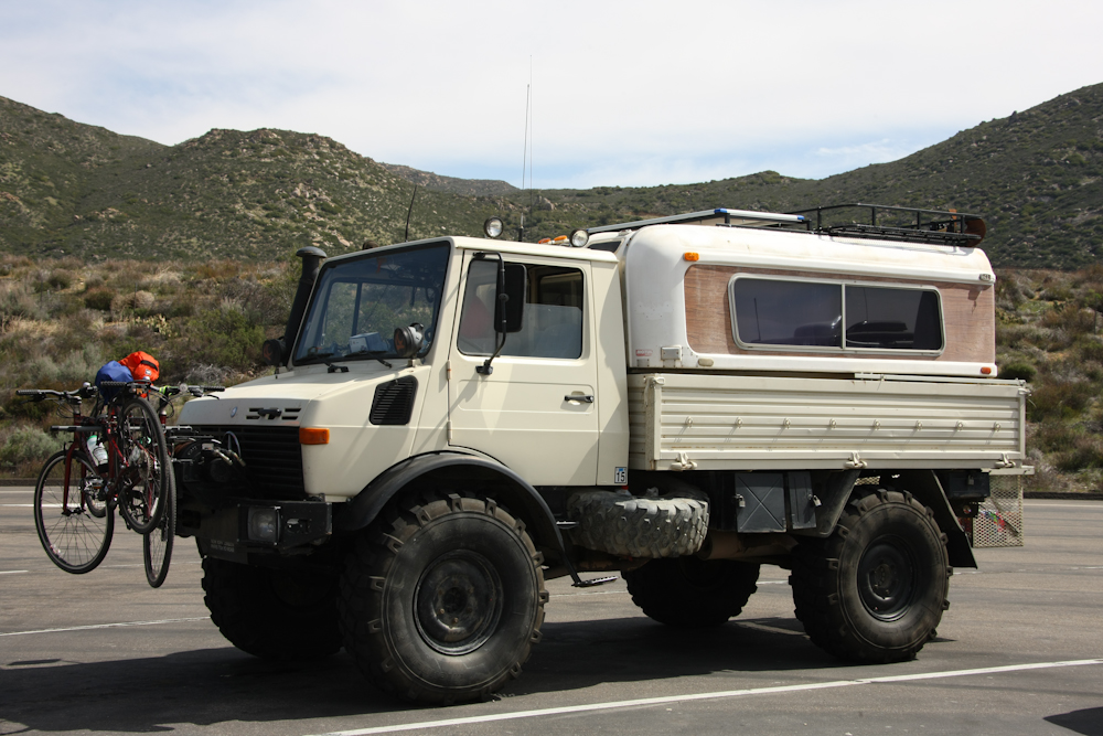
The first shot I got of the Unimog was at the Buckman Springs rest stop, about an hour out of San Diego. This trip, we decided to bring our bicycles.
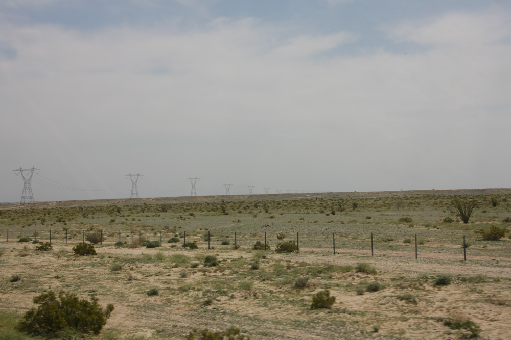
The deserts east of San Diego, in the Imperial Valley, are flat and uninteresting. The power lines are a recent addition and other than these, it is flat, hot and the level of the desert is below sea level.
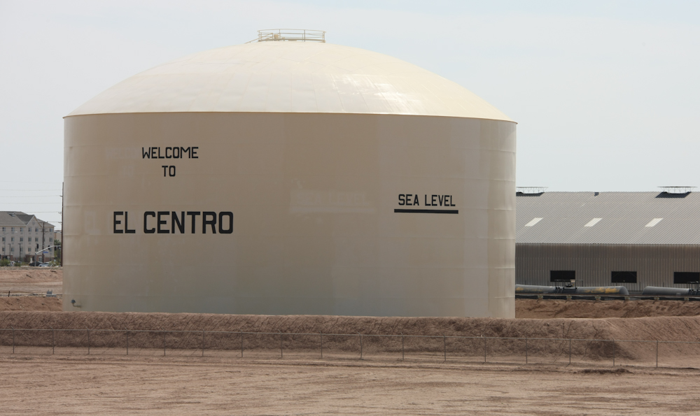
El Centro is the bigges city in the region and the "high point" of the town (both literally and figuratively) is this water tank near the freeway. As I stated above, this area is below sea level.
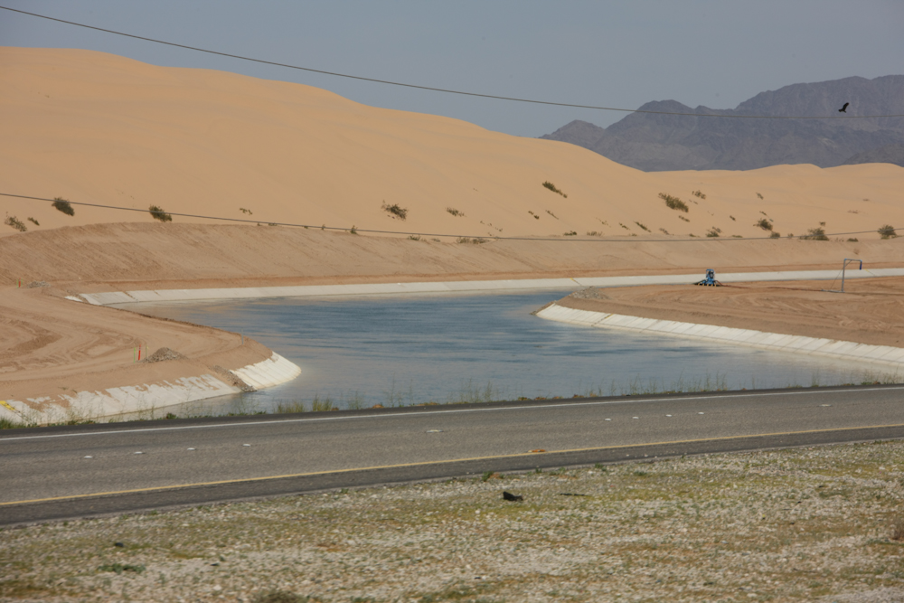
The All American Canal (named because the canal stays within the limits of the U.S.) recently got lined with concrete to prevent water loss by seepage into the sand. The local slogan is "food grows where water flows".
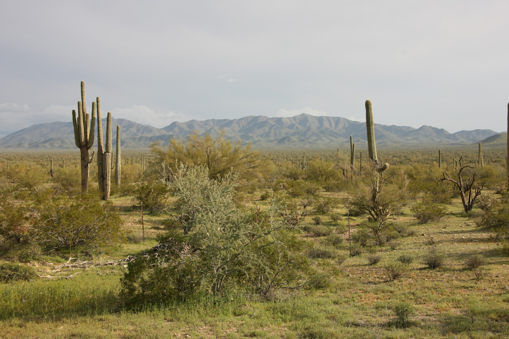
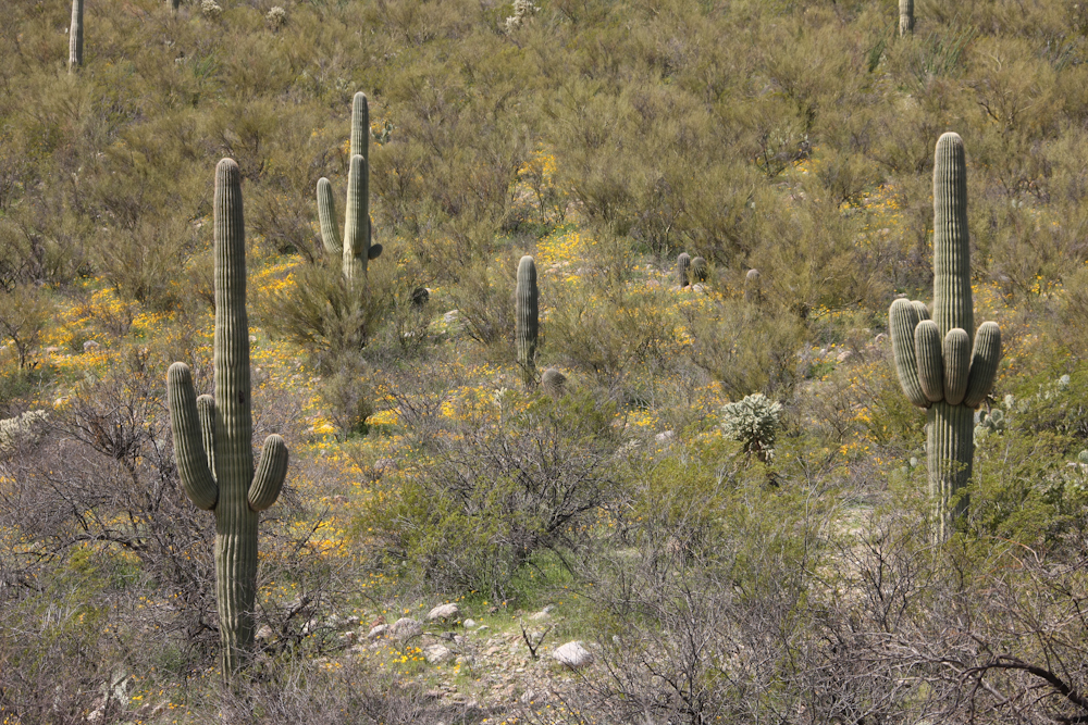
We traveled east past the Colorado River into Southern Arizona and as we did, the terrain was heavily populated with cactus and grasses from the recent rains.
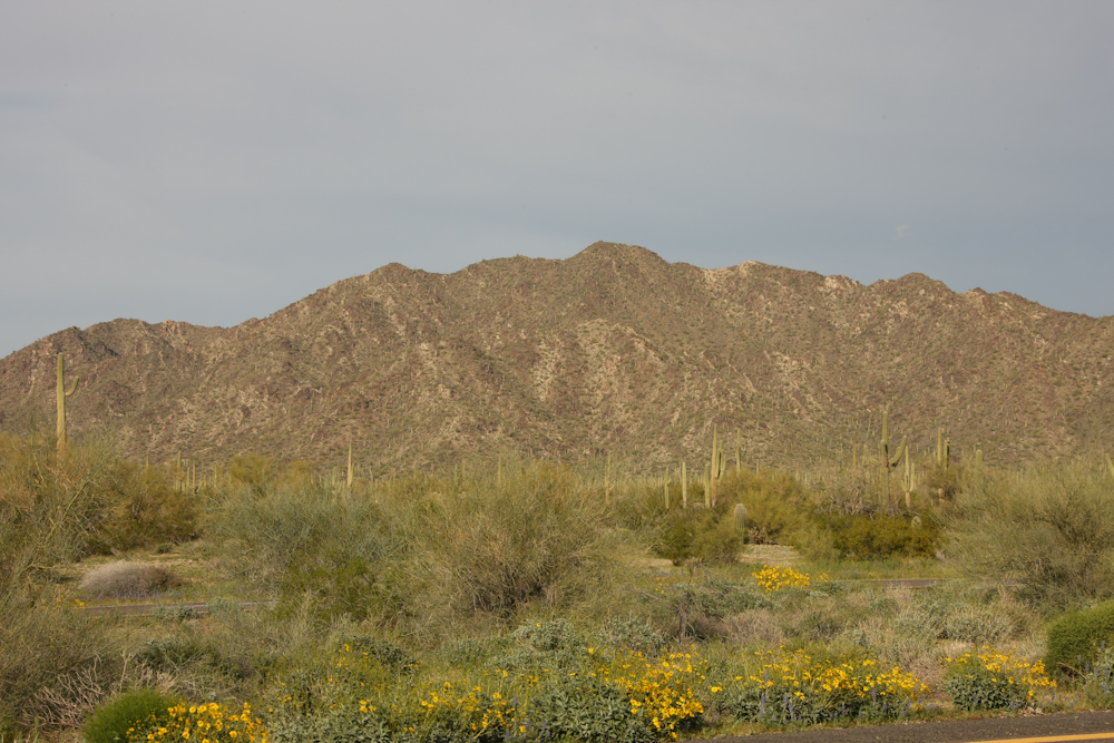
Due to the recent winter rains, the spring flowers were starting to bloom.
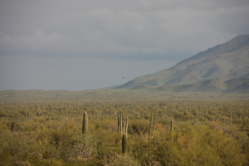
The hills east of Gila Bend are covered in a dense forest of sahauro cactus. Above, you can see a military helicopter executing an overflight of the area. This area is close to both the border and Luke AFB so it is frequently used for exercises.
Our route east took us past Pichacho Peak, a large volcanic plug and one of the highest local landmarks.
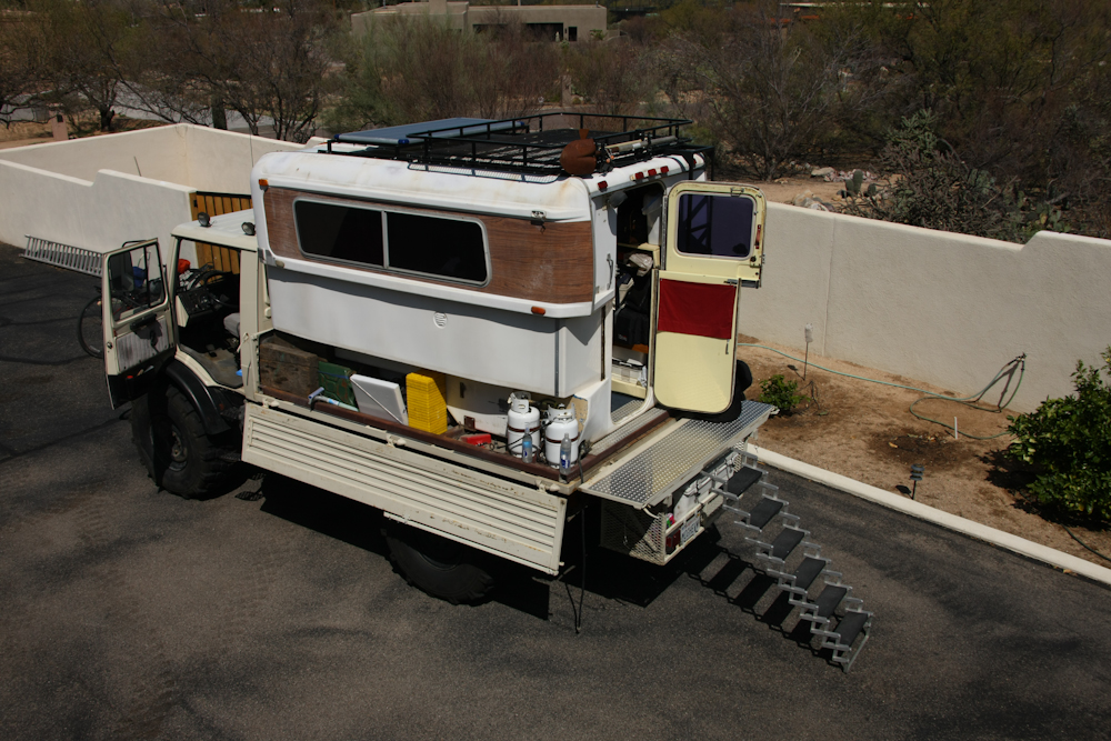
Our destination was my parent's place in Tucson, AZ. Above, we "camped" in the parking area at the estancia.
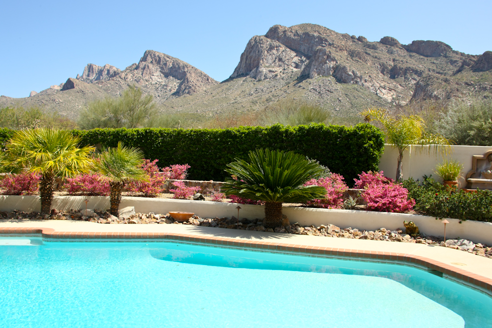
The west end of the Santa Catalina mountains north of Tucson were free from snow. The view above is from the pool area looking east.
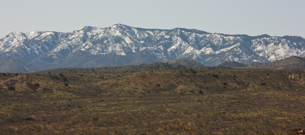
The north ridge of the Catalinas were a different story. The recent winter storms left lots of snow on the higher peaks of the range. We spent the night at about 4500 feet at a friend's ranch in Oracle, AZ.
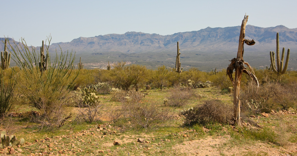
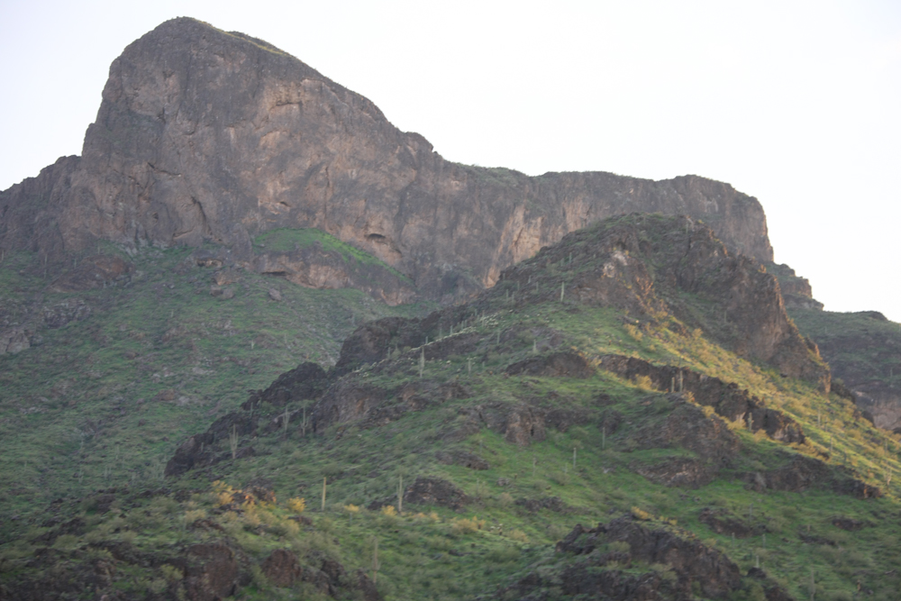
The Galeros Mountains east of the San Pedro River valley, east of Tucson, AZ.
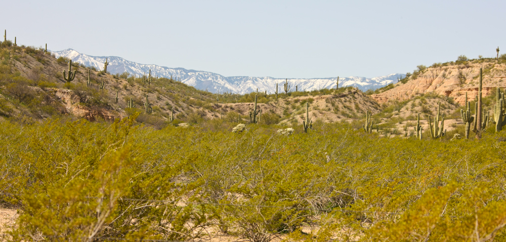
Snow on the 9000+ foot peaks provided a nice contrast to the desert landscape.
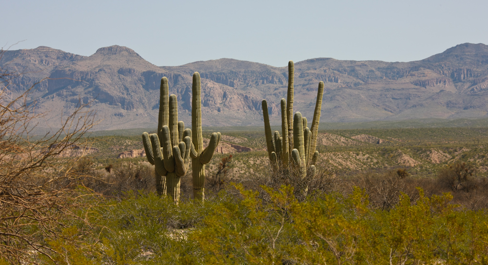
Further south along the San Pedro valley, the vocanic cliffs of the Galeros Mountains became more dramatic. Due to the recent rains, the sahauro cactus were happy and will surely be in bloom in several months.
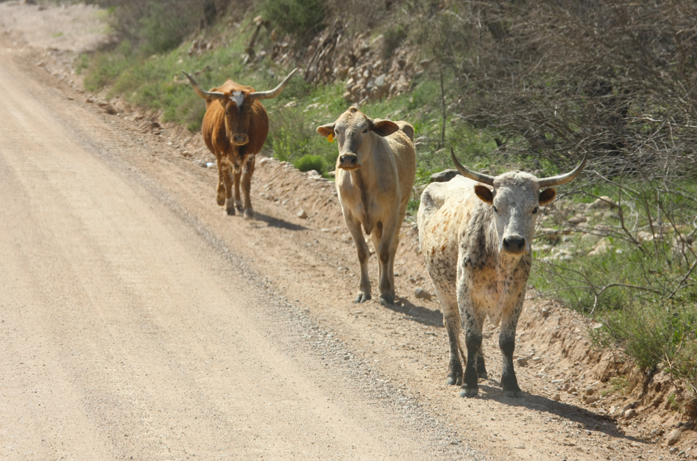
The old west is alive and well in the San Pedro valley. These cattle were free-roaming next to the road. I was concerned that they would do something stupid like dart in front of the truck, but the fear was unfounded.
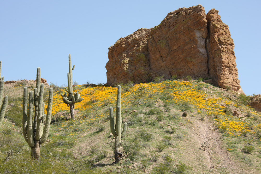
As we traveled further south and gained a bit of elevation, the wild flowers resulting from the rains became visible.
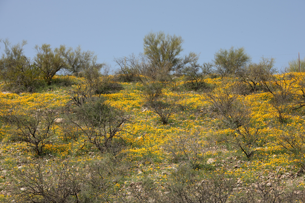
Some hills were nearly covered in flowers.
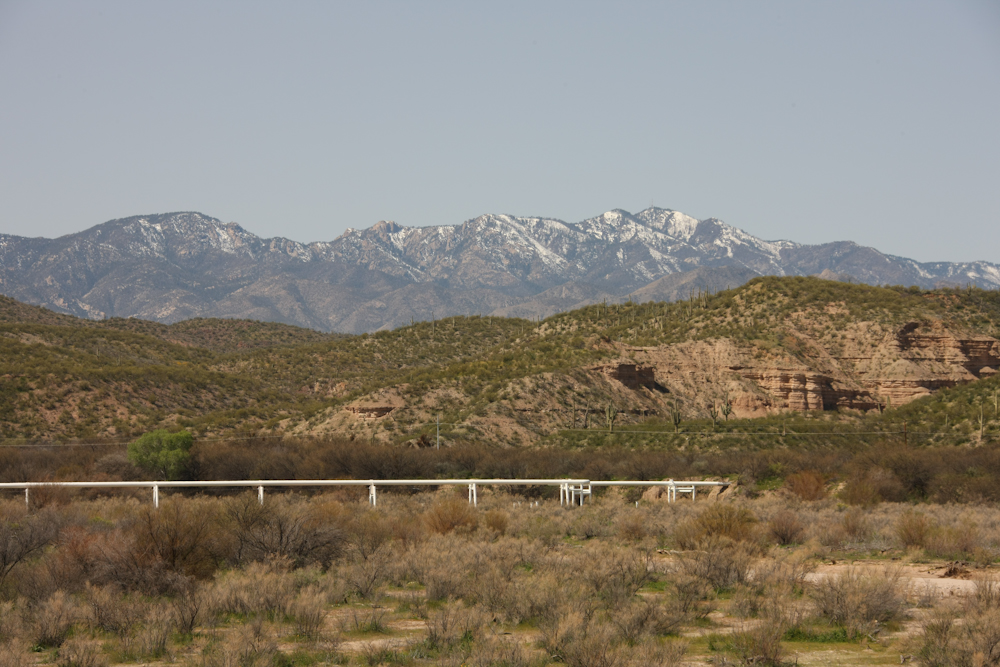
Along the San Pedro river is a major natural gas pipeline that provides services to "points west". The snow covered Rincon Mountains are in the distance.
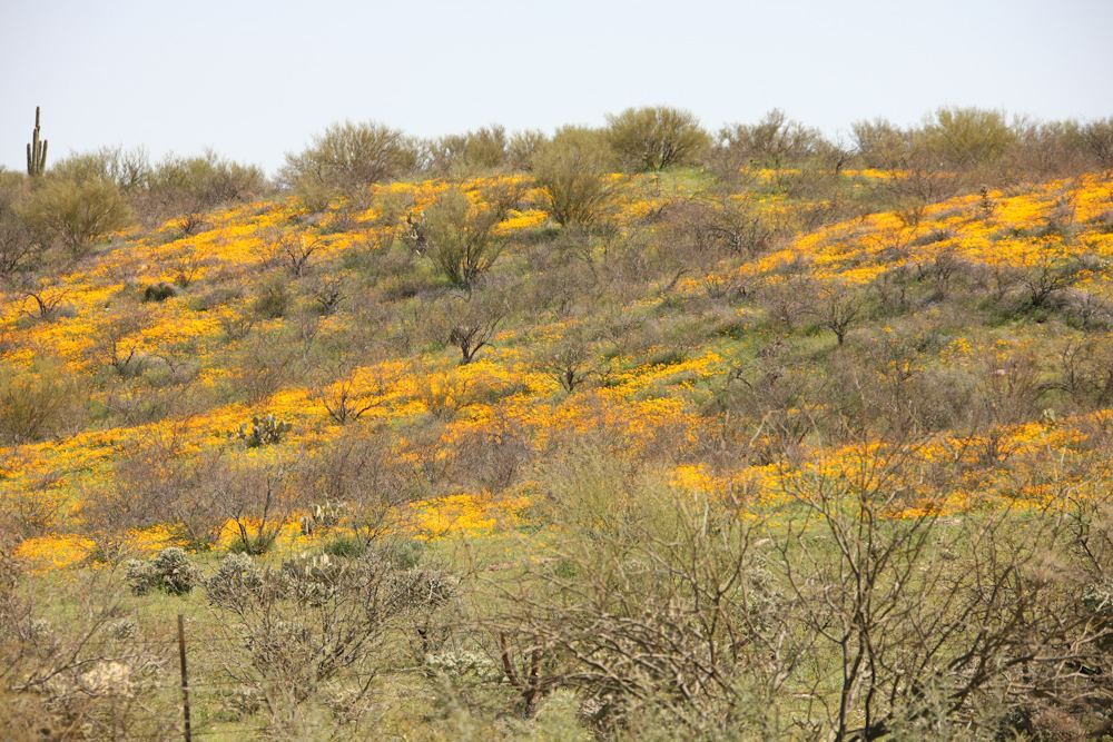
This patch of wild flowers was particularly dense.
This outcropping was rather unique in that it was the only one near our route.

Southern Arizona has been growing fast and the area around Wilcox has been part of the trend. This power plant was not here the last time I traveled through the area. I am not sure when it was built.
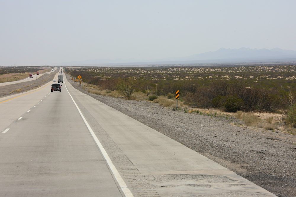
We spent the night in Mesilla, NM and had a great dinner at La Posta, a historical restaurant in Old Mesilla. From there, we continued east along I-10 past El Paso and into west Texas. As can be seen in the photo above, the landscape is unremarkable and flat. The winds were strong and blew great clouds of dust into the area and as well as blowing the truck all over the road.
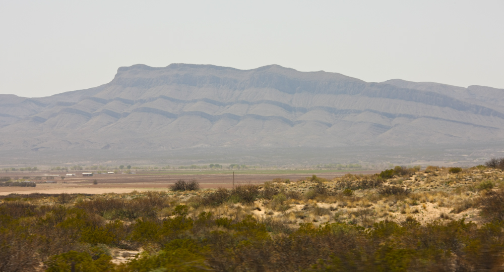
Looking south into old Mexico, large escarpments were visible from the highway. The Rio Grande river is in the valley.
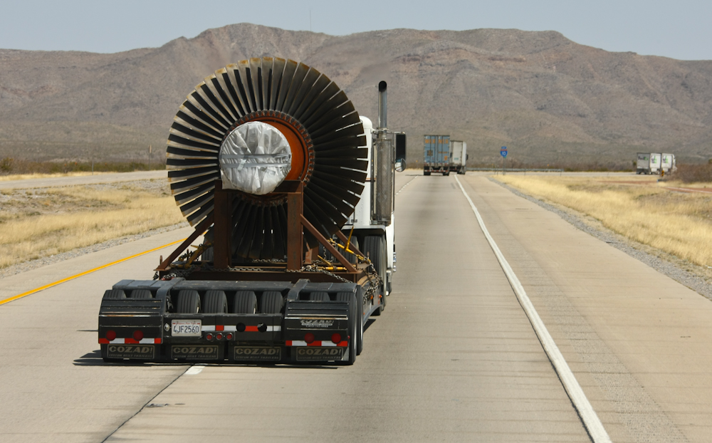
Sometimes on the highway you see interesting cargo pass you. Above is the main shaft of a large gas turbine.
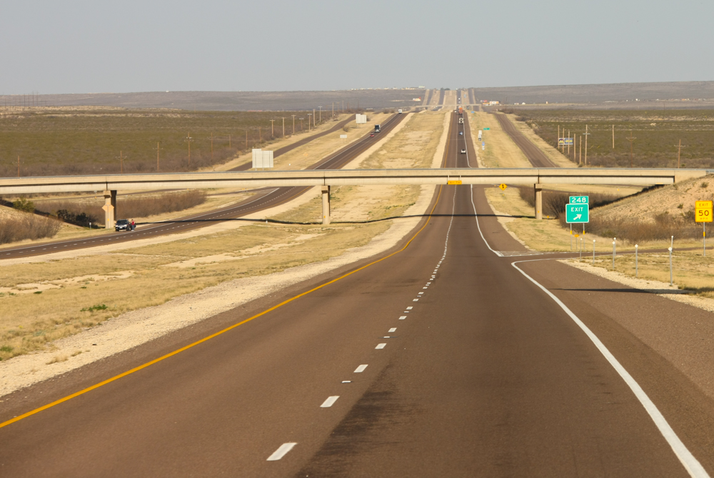
Further east, the road was flat and straight. Turns were rare and something to be celebrated.
The first few days of our travels were uneventful. It was good to see friends and family and to "reconnect". West Texas is something to see -- once. Now I have "been there, done that". Our destination is Sonora, TX and the cave at Caverns of Sonora.
| Previous Adventure | ||
| Trip Home Page |
Photos and Text Copyright Bill Caid 2010, all rights reserved.
For your enjoyment only, not for commercial use.