Trip Report: November 8-13, 2005
Quick link to the "best of" photos.
Quick link to start of daily log and photos Day 1: 8-11-2005 Crossing Border to Camp Pinacate.
Northwestern Sonora in Mexico is one of the largest remaining remote areas south of Canada. This area is hard core desert, cruel in the summer and unforgiving of mistakes. There are many hundreds of miles of trackless deserts, sand dunes, beaches and, oddly enough, a large vocanic field called Los Pinacates. The Pinacates region of Mexico’s Sonoran Desert is one of the most unique and striking landscapes in North America. Located just a few miles south of the Mexico-Arizona border, this volcanic field originated with the rifting of the Gulf of California millions of years ago, but the features seen today (volcanic peaks, lava flows, cinder cones and collapsed craters) formed in the late Pleistocene period (2 million to 11,000 years ago). The volcanic range is surrounded by one of North America’s largest dune fields, Gran Desierto, also know as the Altar Desert or the desierto de Altar.
The natural history of the region includes thousands of years of human occupation; it is the aboriginal homeland of the O‘Odham tribe, also known until recently as the Papago. The region also served as an early training site for Apollo astronauts in the 1960s. This ecosystem supports a wonderfully diverse northern Sonoran desert assemblage of plants and animals, including large saguaro cacti, ocotillo, many species of reptiles, amphibians, and insects. In fact, the name Pinacate is derived from “pinacatl,” the Aztec name for the desert stink beetle, which is common in the region.
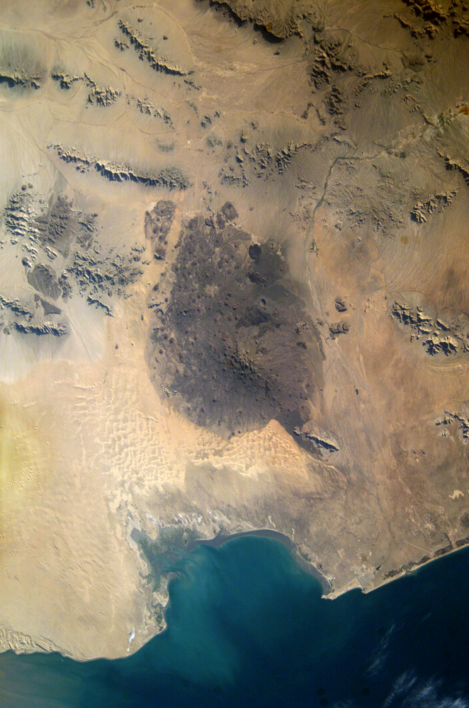
Pinacate National Park and Biosphere Reserve is a 770-square-mile (2,000-square-kilometer) volcanic field in the Sonora province of Mexico, near the Arizona border. Surrounded by the Sonora Desert, this field contains more than 300 volcanic vents and cinder cones, including at least 10 maar craters. Maar eruptions are a rare form of volcano that erupts violently when rising magma meets underground water, producing a pocket of highly pressurized steam that blows a nearly circular hole in the crust above. The largest crater in the Pinacate Field is Cerro Elegante, a maar crater about a kilometer in diameter. Though parts of Pinacate are so barren and other-worldy that the area served as a training ground for moonward-bound astronauts, many places do support plant and animal life, including creosote bushes, prickly pear cactus, ironwood trees, the Gila woodpecker, and the Rufous hummingbird.
This image of the park was captured by the Landsat 7 satellite on December 5, 2002, using bands 7, 5, and 2. The dark cinders covering the lava plain dominate the center of the scene, and numerous circular craters are visible. To the south, the sands of the Sonora Desert are carved into sinuous dunes. At top center, a diagonal gray line marks a road that runs toward the Mexico-U.S. border.
Images courtesy the USGS Landsat Project.
Detailed view of Pinacates vocano field. Click on image for larger view. Mex Hwy 2 is visible at the top.
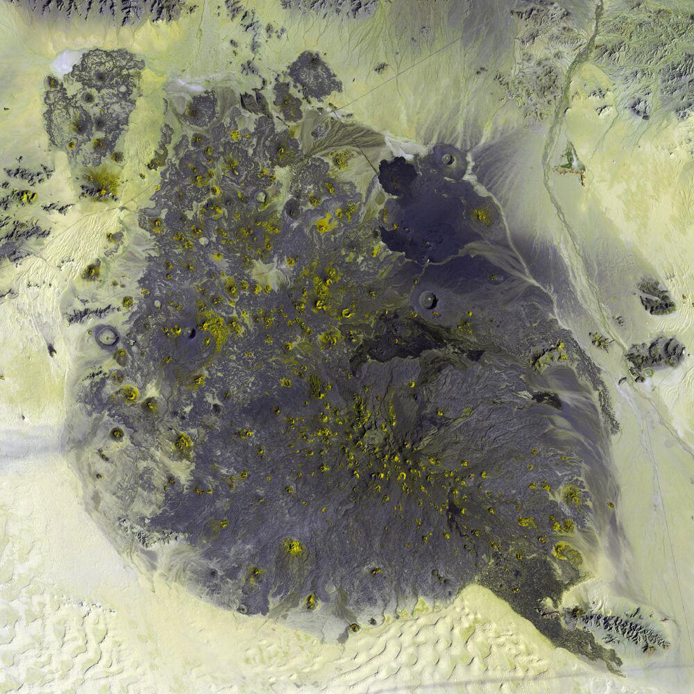
Early in May 2004, the new Space Station crew (ISS-9) obtained high-resolution images of the Pinacates, allowing for detailed observations of the surface features. One example is a large volcanic crater (see box, and detail below) called Crater Elegante which is one of the most prominent and interesting features of the Pinacates. For scale, the diameter of the crater is approximately 1500 meters.
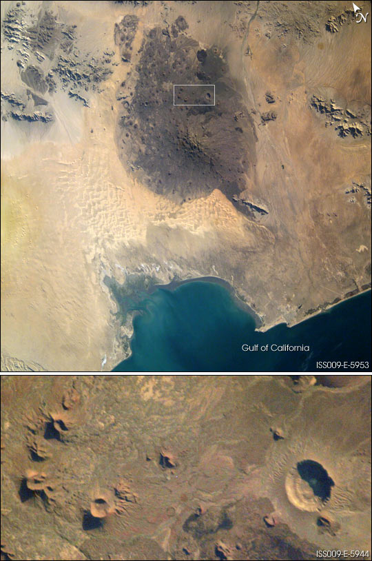
Closeup view of Elegante Crater. Click on image for larger view.
The planned trip involved getting our Unimogs across the Mexican border at San Luis, Sonora and then head west on Highway 2 toward the Pinacate Park. Since we did not have quads, we did not have to bring quad equipment (helmets, gas, etc) thereby easing the logistics and amount of cargo.
The general plan was to visit the park and take in the sights for a couple of days. Then, we would head for the Gulf of California and meet several others of our group who could not take the extra time off for the full trip.
Like any trip to a foreign country, substantial pre-planning was required. To do such a trip required detailed knowledge of what conditions were expected as well as research on issues beyond just road conditions. To prepare for this trip, we utilized experience gained from previous trips, tide charts, satellite photos, Mexican maps as well as other intelligence gathered from the local four wheel clubs. And, as can be seen above, we did substantial research on the web.
To insure the success of a major expedition in a foreign country, it is absolutely essential that the proper team of vehicles and operators was assembled. Of key importance was vehicle reliability. The size of the Altar dunes basically precludes the ability to tow a truck as dead weight. While theoretically possible, the time required to complete the winching make recovery a practical impossibility. Therefore, special attention was given to mechanical preparations prior to the trip.
In Figure 1, San Diego bay is just below the top edge on the left. The large lake is the Salton Sea. Farmed areas are shown in red. The road in Mexico that parallels the border can be seen. The Pinacates are also visible next to the border in the top-middle of the image.

Figure 1. Satellite Photo of Baja and Northwest Sonora, Mexico.
In Figure 2, the large dunes are evident and can be seen as forming a set that roughly parallel the coast to the south. The destination was the Pinacates region, the dark zone on the right of the photo.
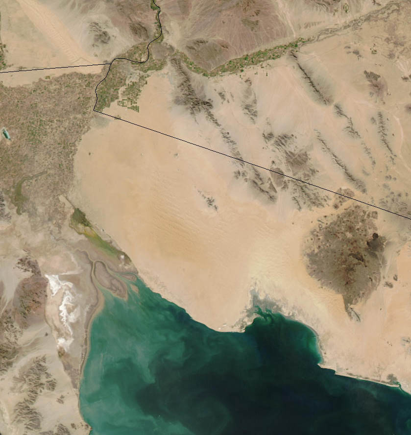
Figure 2. Zoom Photograph of Area of Interest.
The photos below are the "best of the best" of the trip. See sections below for links to individual photo albums by day.
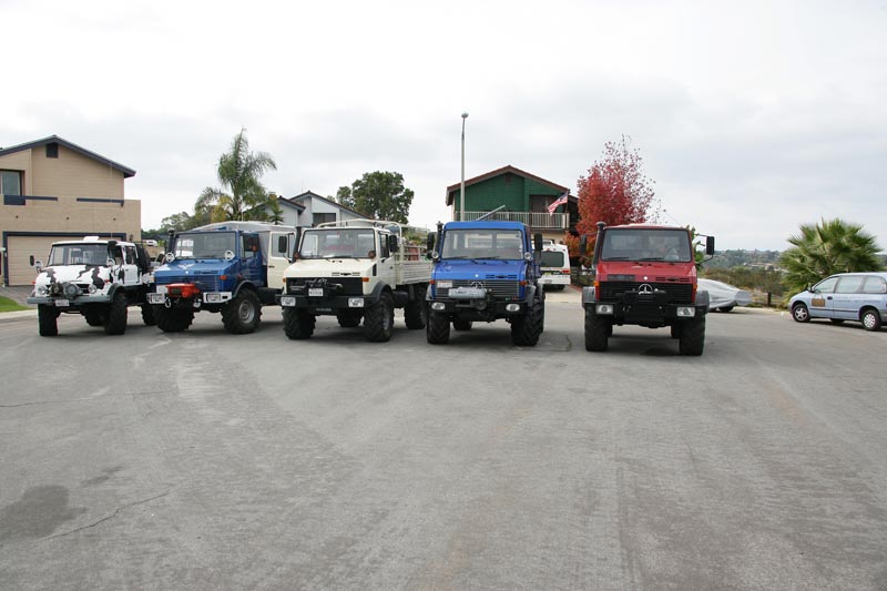
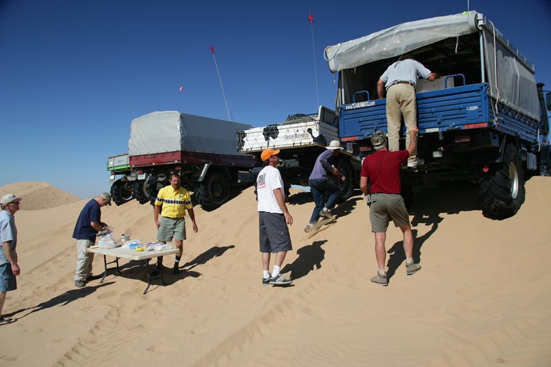
The rolling stock before the trip to the border. L to R: Serrano's 416, Mitchell's 1300L, Caid's 1300L, Espinoza's 1450, Johnson's 1550L.

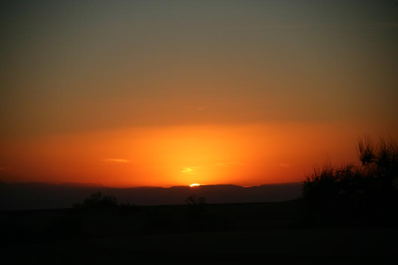
Sunrise from the first camp.
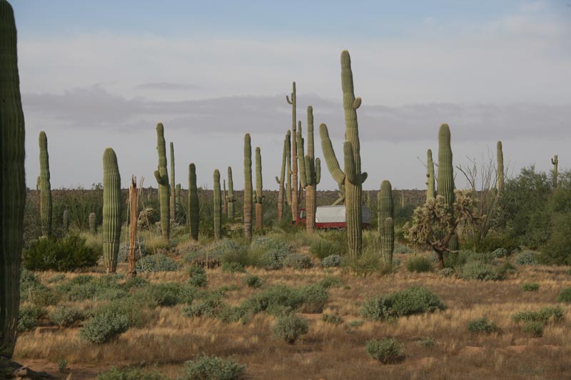
En route to Crater Molina, Dan passes through a sahauro grove.
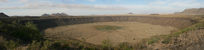
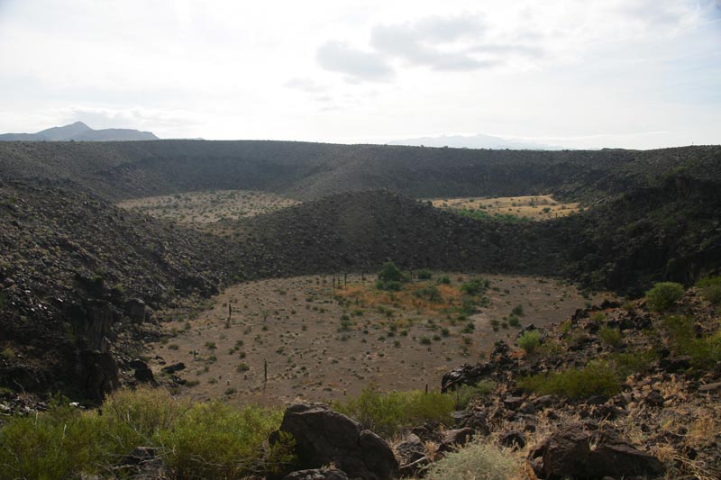
Panorama of Crater Molina (aka McDougal Crater). The photo does not do the scene justice, it is intimidatingly big.
Bill and Mark en route to Trebol Craters.
Trebol Craters.
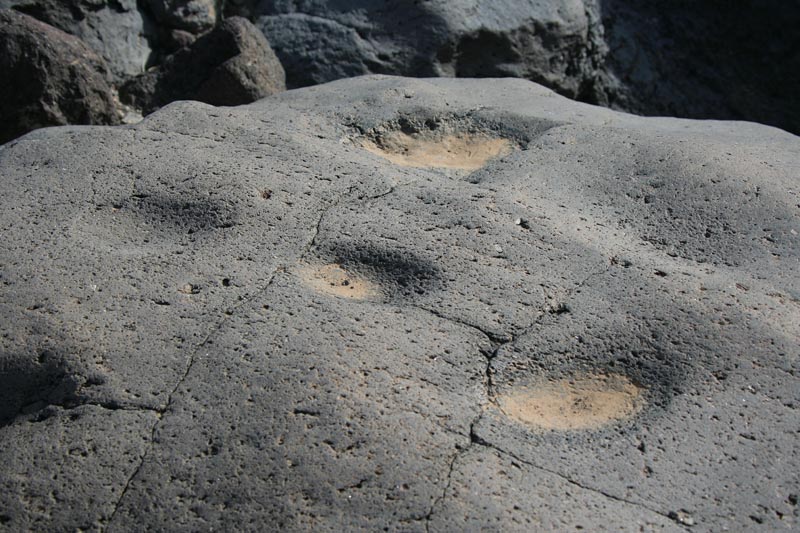
Metates (native grinding stones) in the rock around the tinajas. There were many of these.
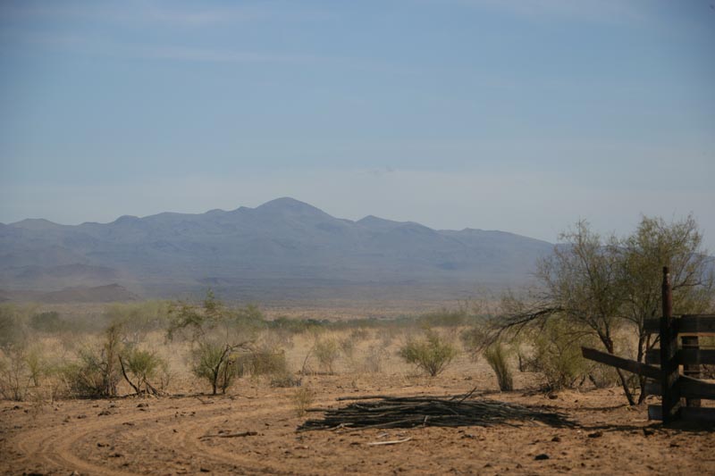
View of the pinacates volcano from Pozo Nuevo.
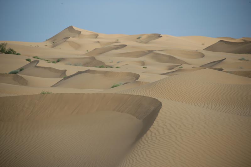
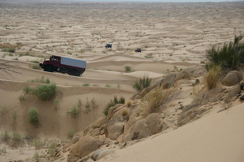
The Altar desert is an ocean of sand.
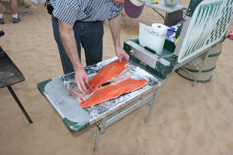
Tony preparing his whole salmon that he brought with him from Fairbanks, AK.
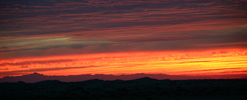
10,000 foot Pichaco del Diablo on the horizon at sundown.
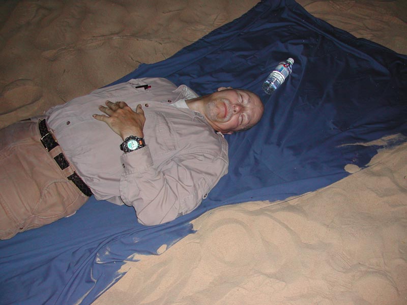
A long day of driving, salmon and red wine and Bill is dozing by the fire, meanwhile danger lurks close by.
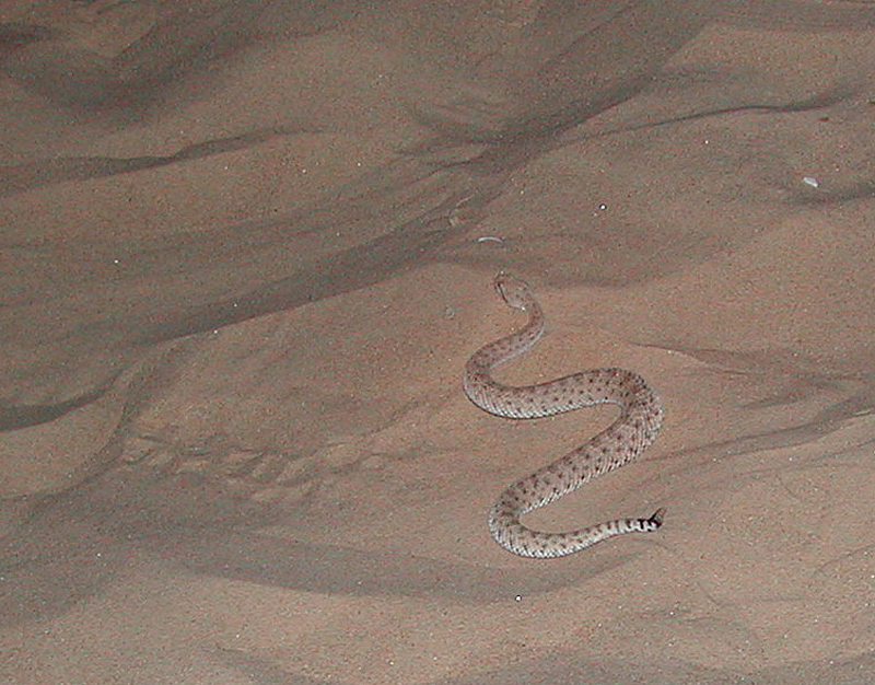
Kathleen spotted this sidewinder rattlesnake a few feet from where I was dozing and the team redirected him to another destination rather than me.
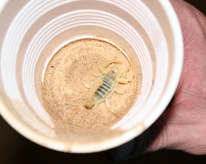
Since just a snake is not enough excitement, the team found scorpions in camp as well.
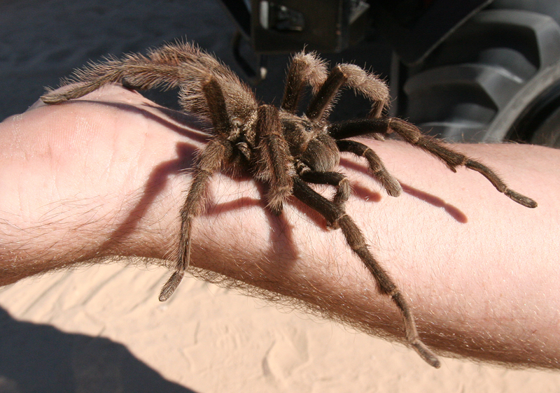
This camp critter is much less imposing than the venomous reptiles.
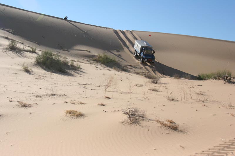
Dan navigates a razorback dune face.
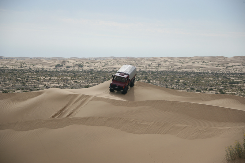
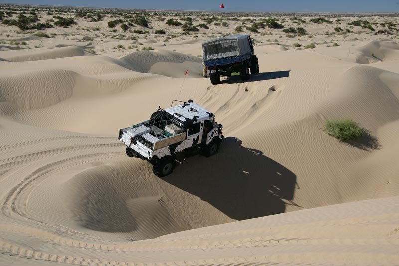
We traversed huge dune fields.
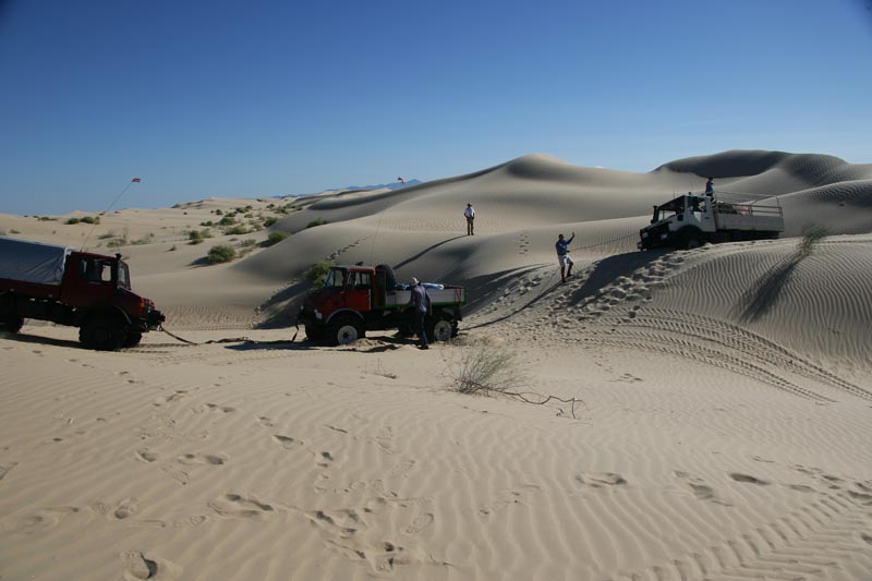
Bill winches himself out of a hole using Dan and Matt as a dead-man anchor.
Kai drops a wheel over the edge of a sharp dropoff.
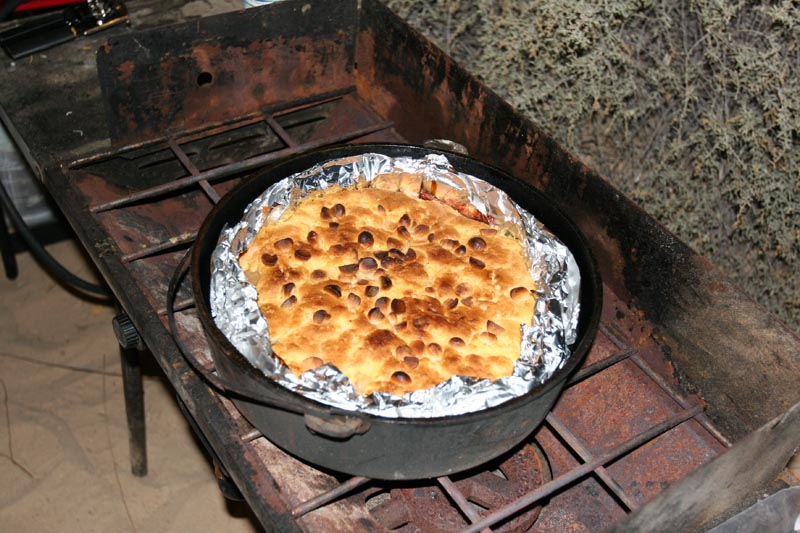
A Kathleen-crafted apple-cherry cobbler with macadamia nut topping.
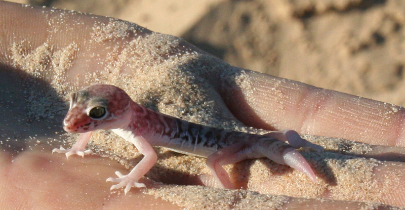
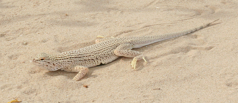
Yet another critter, this one is translucent, likely a baby.
Uh, more critters.
Sun setting behind the Sierra San Pedro Martir across the Gulf of California.
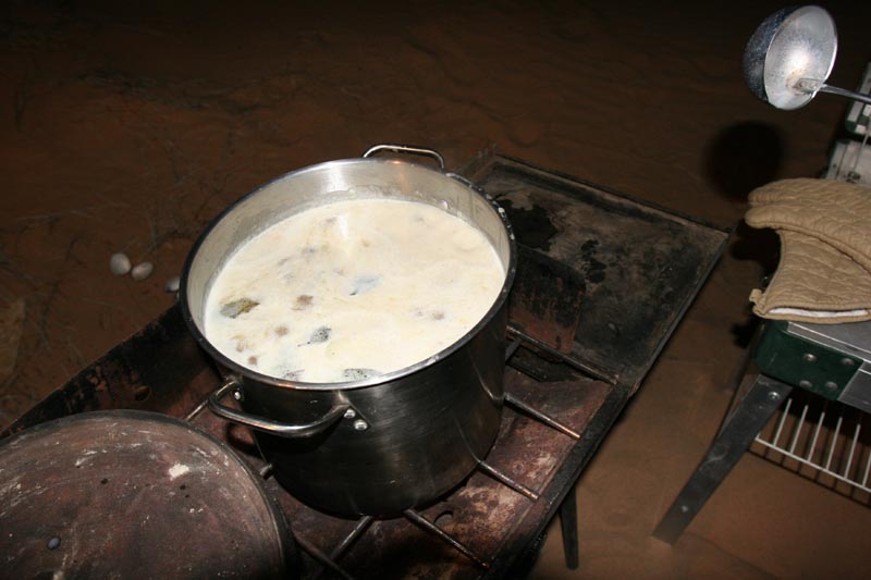
Mike Nayoski's camp-made chowder with fresh clams.
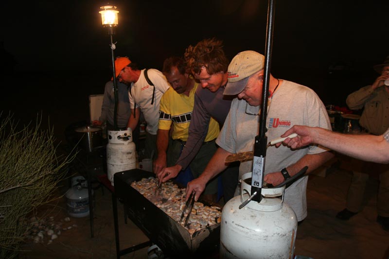
Cooking and attempting to eat an excessive amount of fresh shrimp. Note that the whole grill is full.
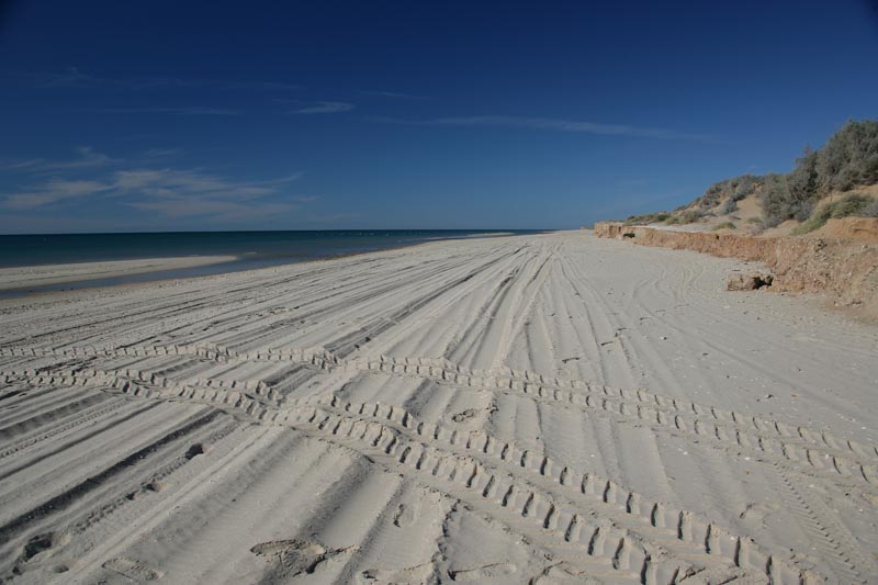
Speed run down the beach to El Gulfo attempting to out race the tide. We lost and had to back track on the bluff as the water had blocked the path.
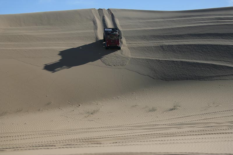
Matt descending a steep face on the way to the last camp.
A nice sunset on the last camp.
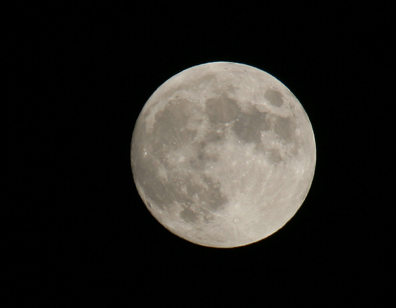
A nearly full moon at 600mm focal length.
Mark descends a steep face on the way out.
Last lunch in the high dunes. We parked on the tallest razor back around.
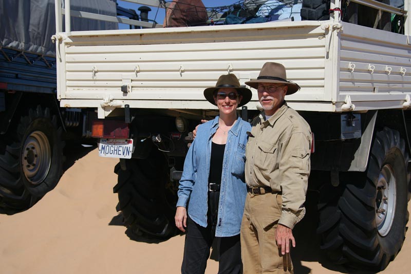
Bill and Kathleen with their ride: MOGHEVN.
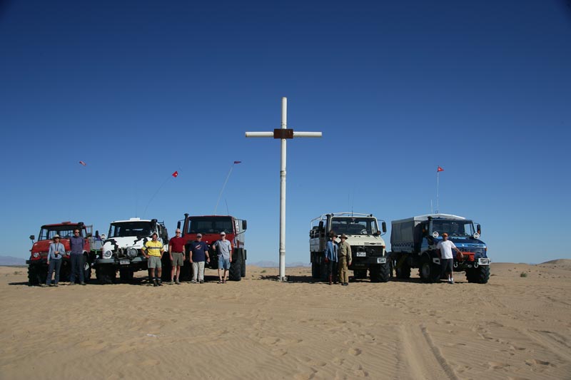
The team at the cross near San Luis. L to R: Nancy, Matt, Kai, Wally, Dan, Tony, Kathleen, Bill, Mark and Mike.
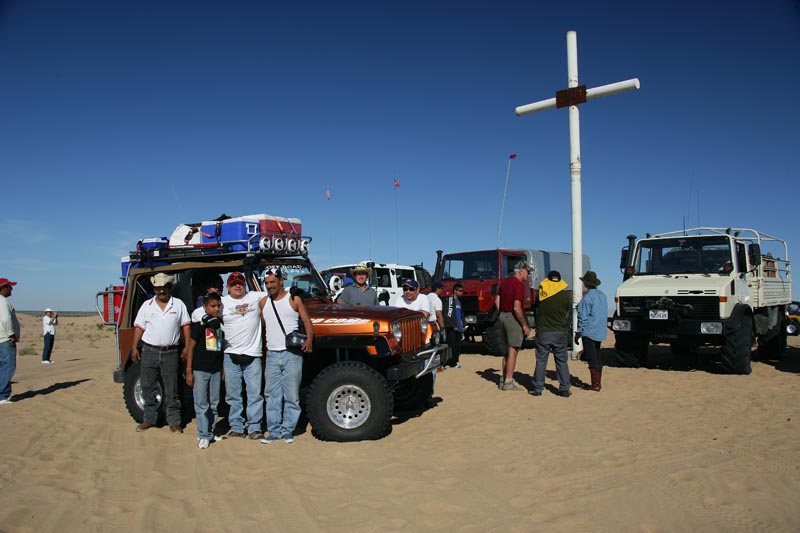
Members of the Tijuana Four Wheel Drive Club. Very nice fellows.
El Gulfo is a very small town; this is primarily a fishing village, but does cater to tourists, particularly Gringos around Thanksgiving, Christmas and New Years. There is a Pemex station, and it probably has gas. I say probably, because in Mexico, if the fuel truck does not show up for what ever reason, then there will be no gas or diesel. There is a store and ice is available along with plenty of fresh fish, shrimp, clams and sometimes other shellfish. Water is in short supply, but can be purchased at the town OXXO store. There are several RV parks in town and several "hotels". The quotes are used here since one of the selling features of the hotel is that it has indoor plumbing.
The locals make their living fishing, and good seafood is available at all times. The best restaurant in El Gulfo is the El Delfin and has excellent food although modest accommodations (they did, however, have hot water in the washroom).
Firearms are prohibited in Mexico. Handguns, in particular, are frowned upon. If you are caught with one in your possession, you will go directly to jail. There is a very high likelihood that you will be unable to "buy" your way out of the situation no matter how much money you have with you, so this situation is better avoided. While lack of a firearm in the wilderness will place you at somewhat of a disadvantage should trouble arise, the penalty for possession is so harsh that it is not worth the risk. The proposed area of operations is known to be used by drug smugglers. However, the open desert crossing is not the preferred route, so the chance of encountering anyone is nil. But, the Mexican Army does patrol both the north end and the sea-side of the desert and if they stop you, they will most likely do a thorough search of the vehicle. They pose no threat to honest Gringos that do not break the laws of their country.